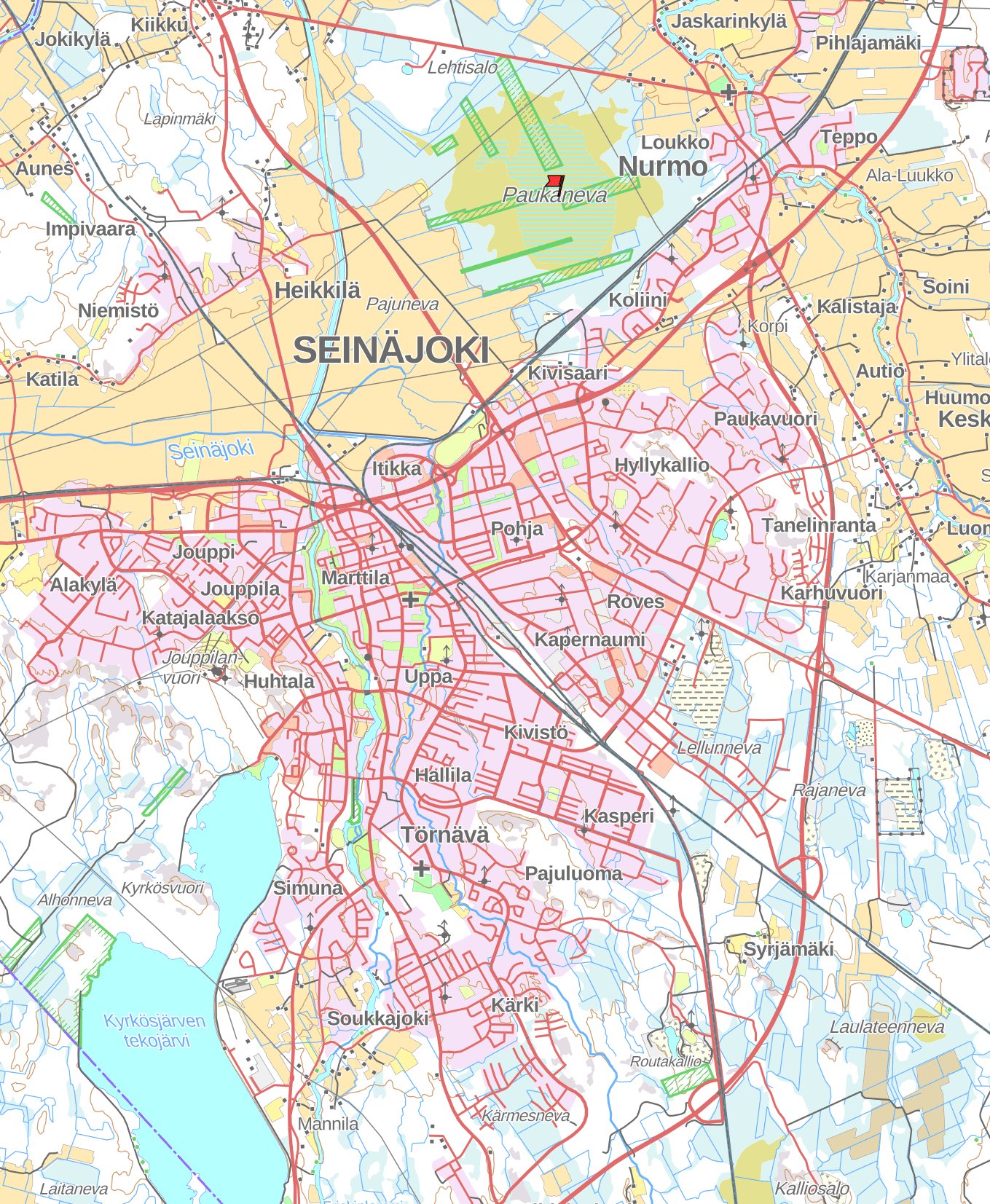
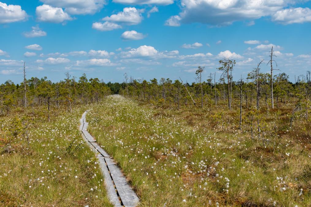
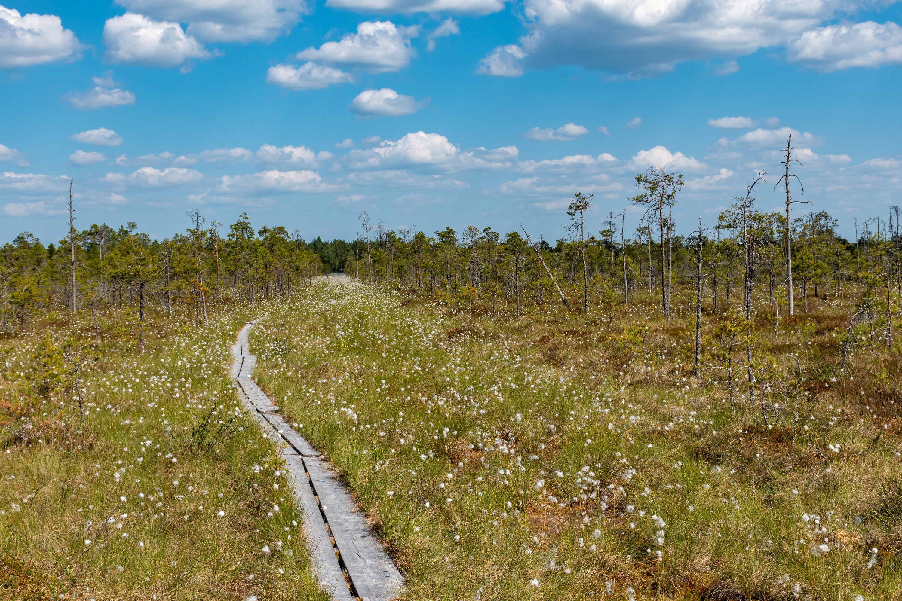
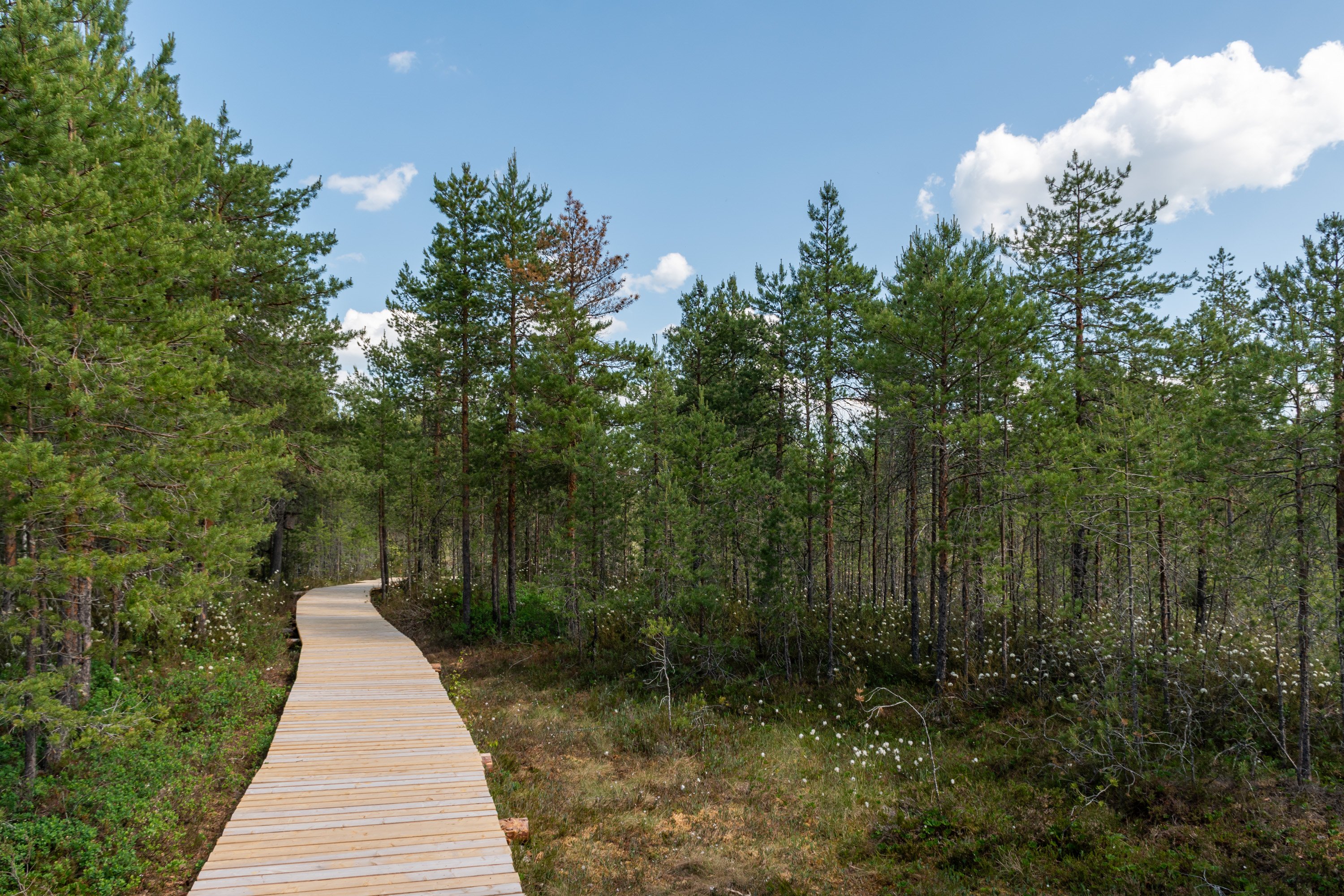
Paukaneva is a gorgeous bog immediately to the north of the city of Seinäjoki, the center of South Ostrobothnia region. The duckboard nature trail through the bog is 7 km long. Note that this is an end-to-end trail (not circular).
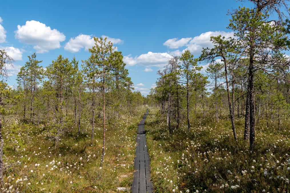
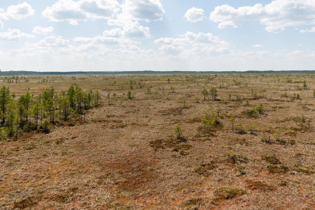
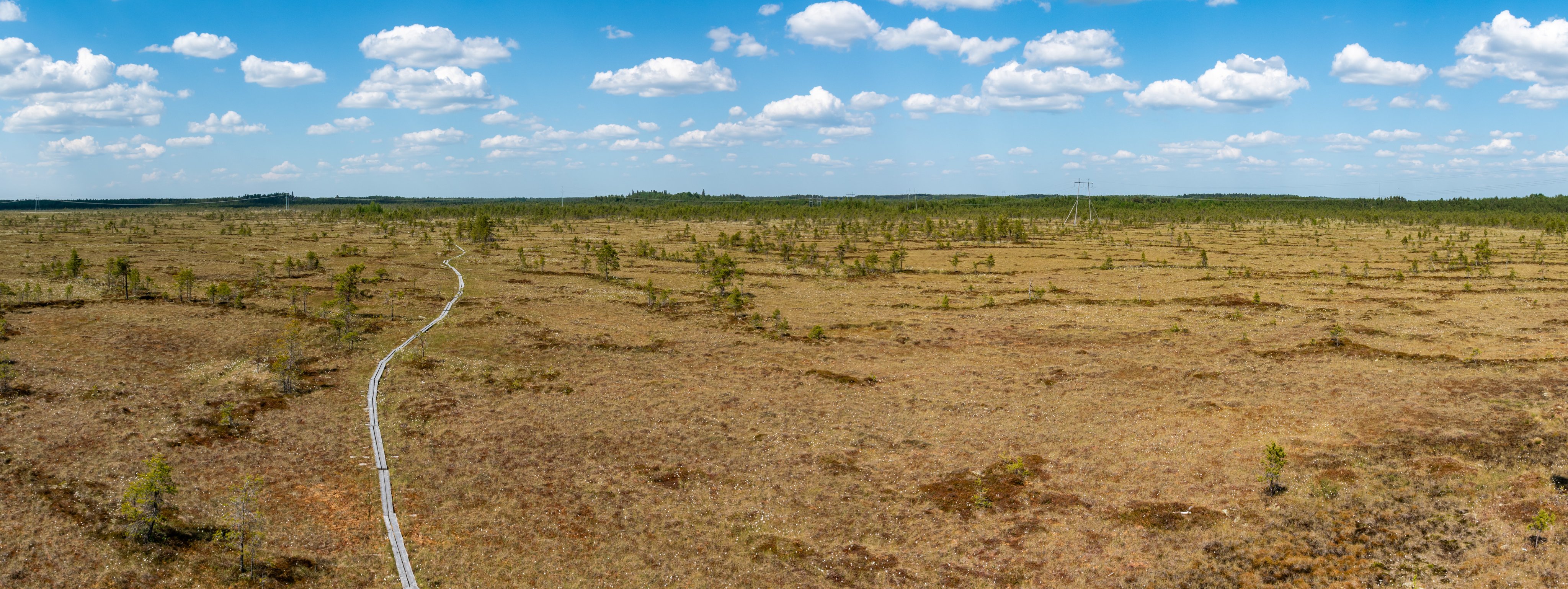
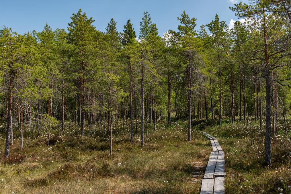
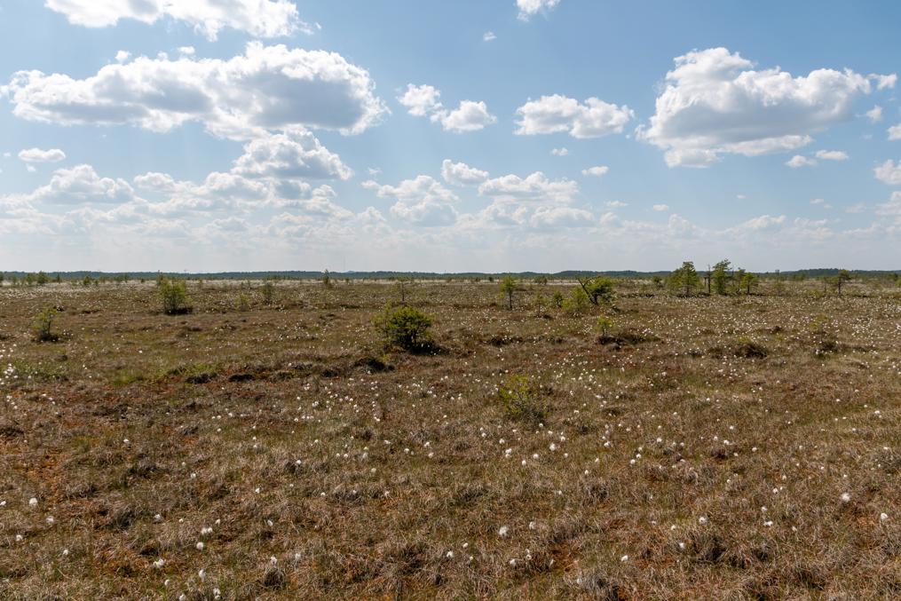
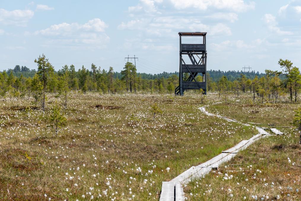
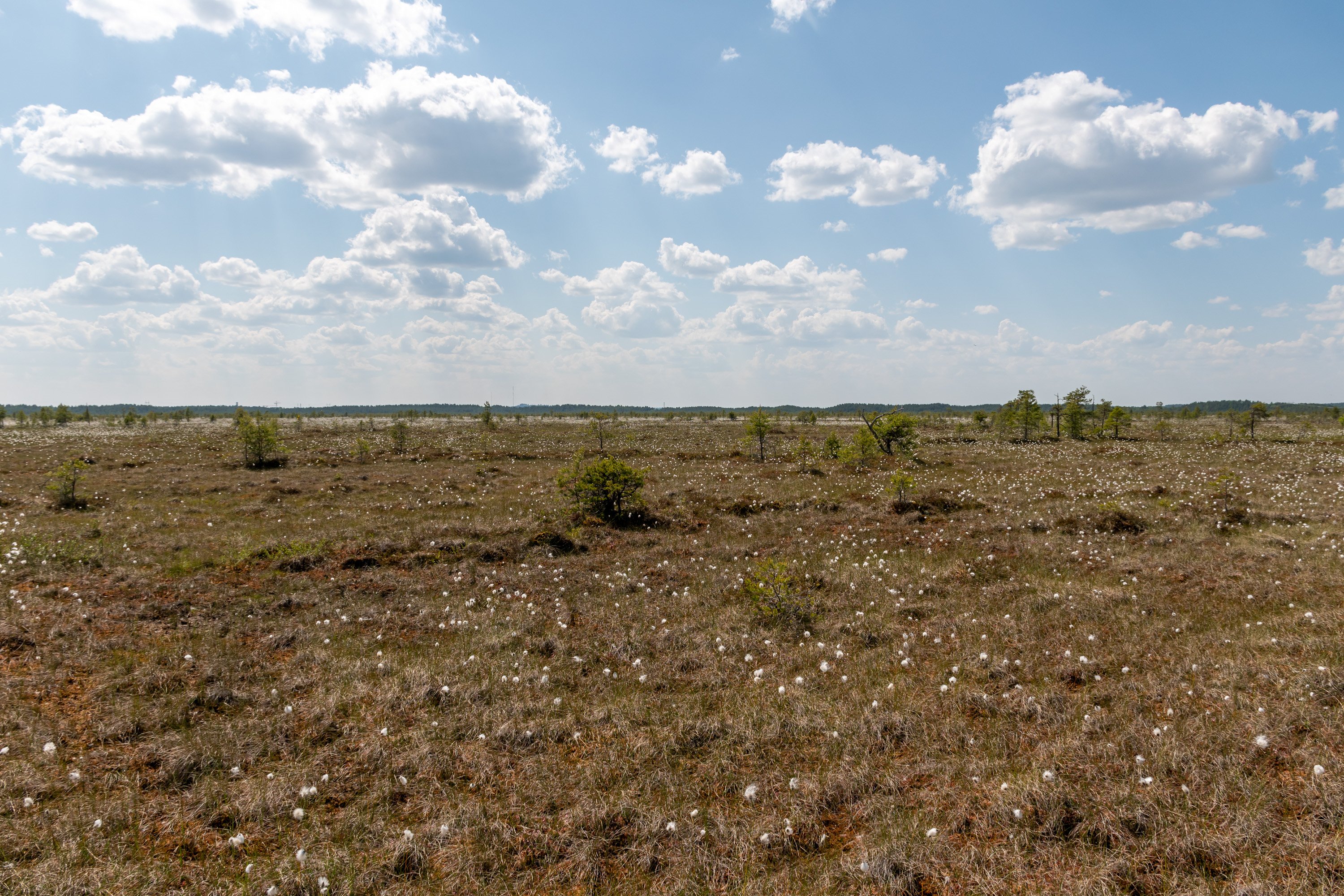
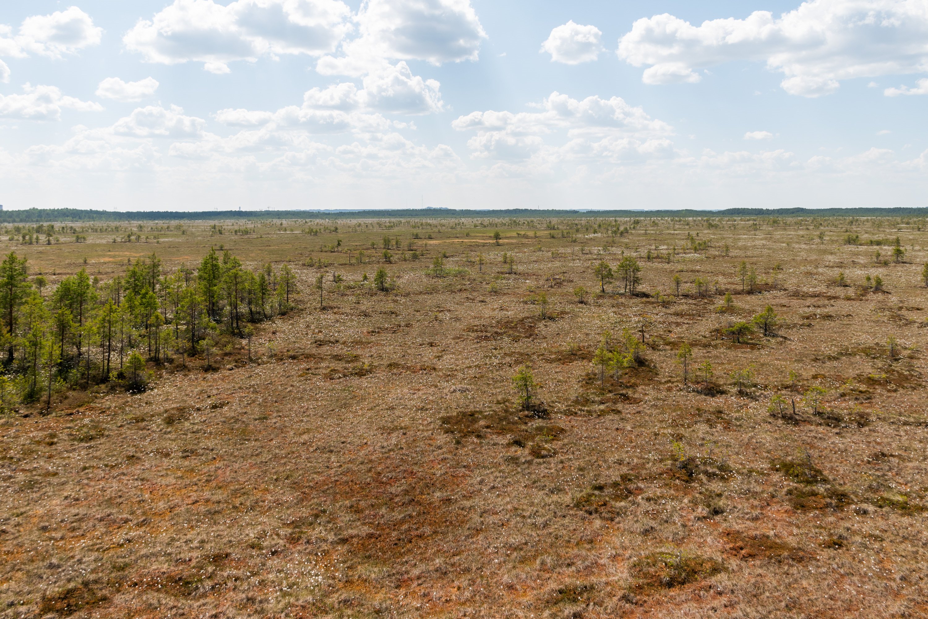
This is a raised bog (keidassuo), with its middle treeless (neva) and slightly higher, while the edge is a forested swamp (räme). It is quite beautiful in June, full of cottongrass (tupasvilla). Plenty of cloudberries too (lakka), but those appear later in summer.
Paukaneva is probably the biggest nature sight close to Seinäjoki (you could potentially walk there from the center), and it is a bit surprising that a major bog has been preserved in a natural state so close to civilization.
Apparently people did try to drain it in the 1800s (about half of Finnish wetlands were drained by building ditches, to convert unusable land into fields or poor-quality but usable forest), but it was just too wet and they gave up. There is almost no visible water, however.
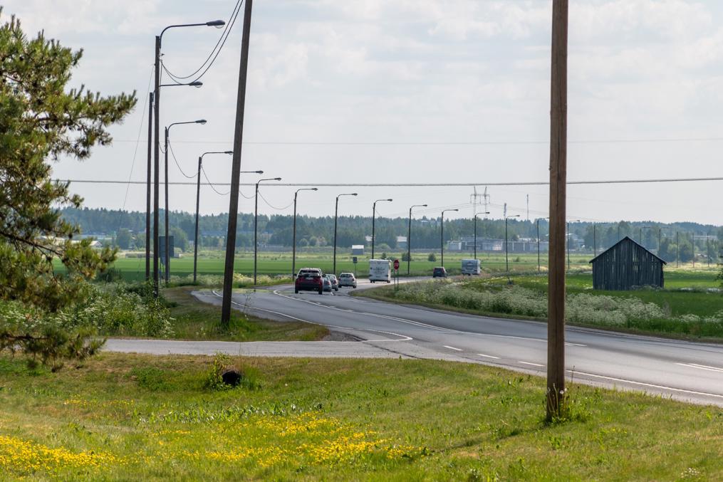
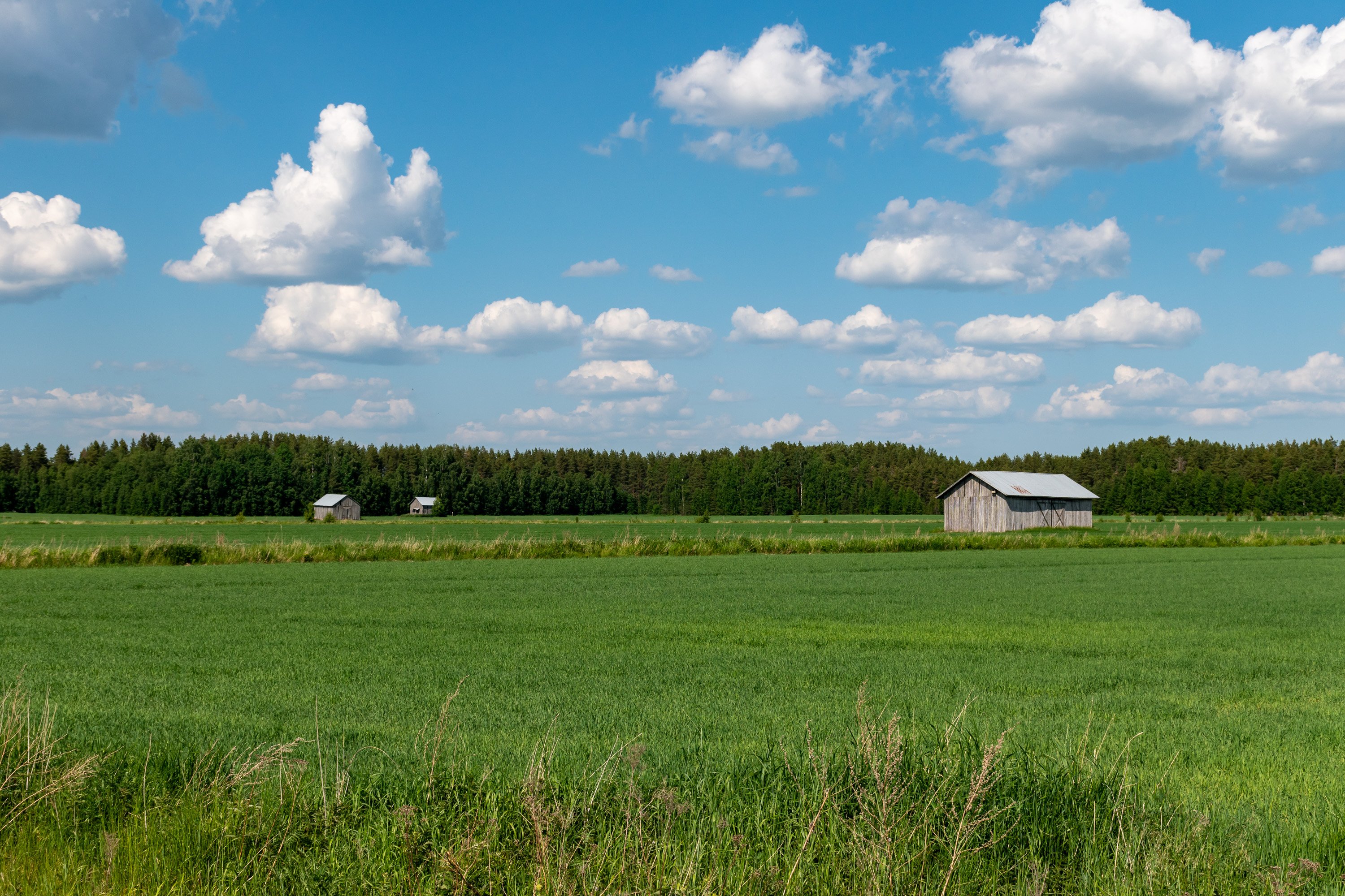
The nearby fields are in fact also a former bog, named Pajuneva, drained and converted into fields, with a busy Seinäjoki-Vaasa road across them. Somewhere here is a monument to at least 27 Red prisoners shot by Whites in the Civil War of 1918 (Seinäjoki was an extremely White-minded area).


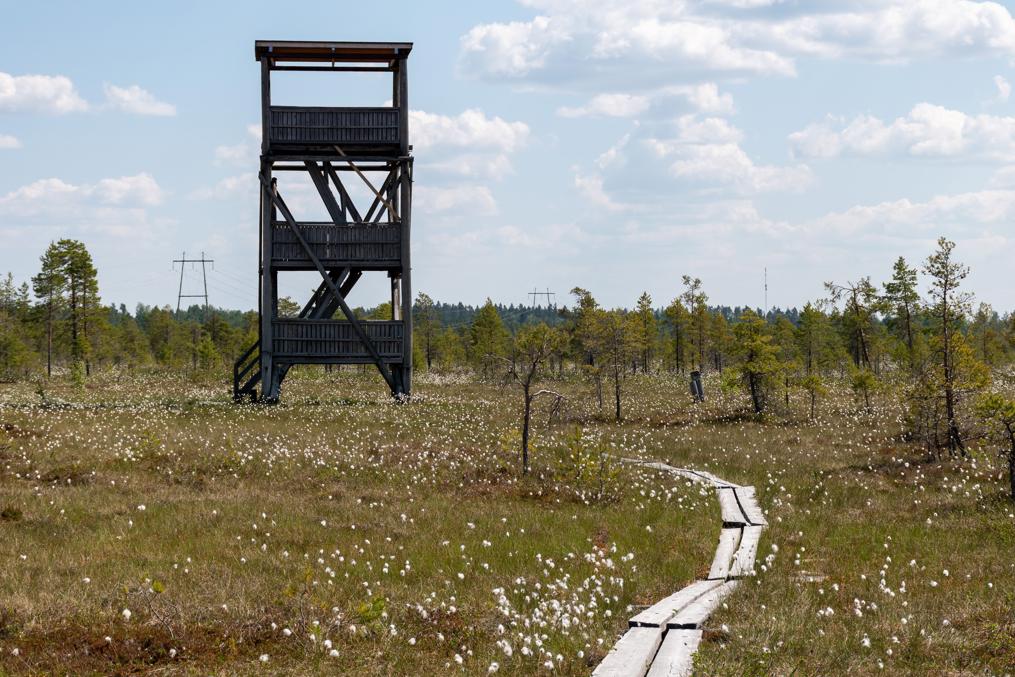
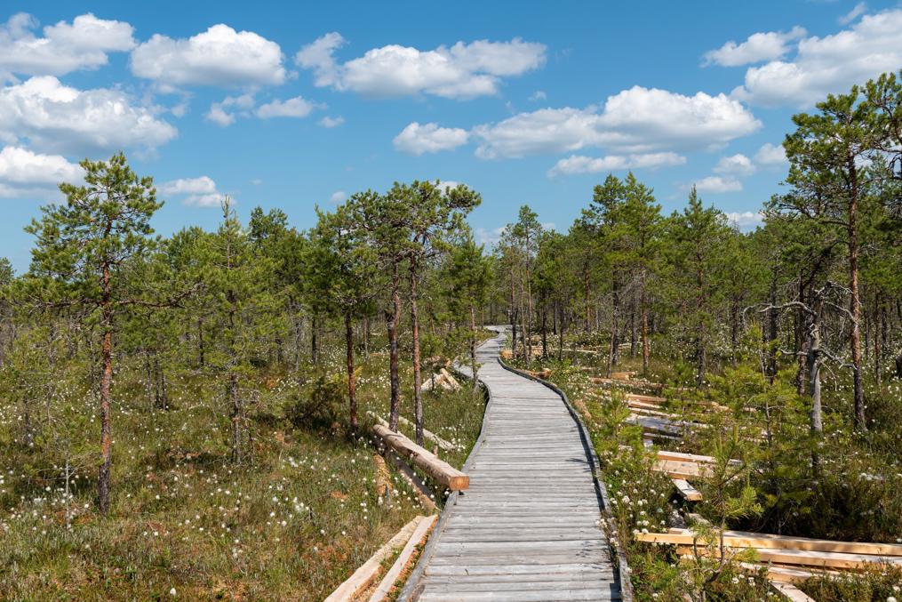
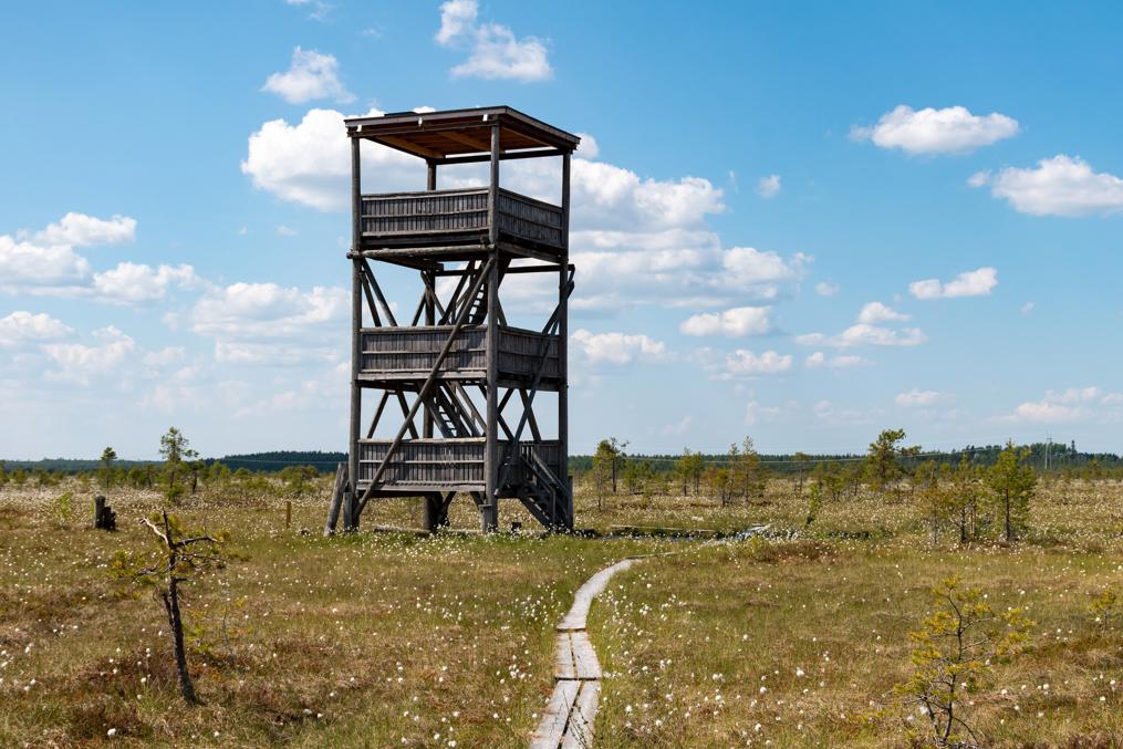
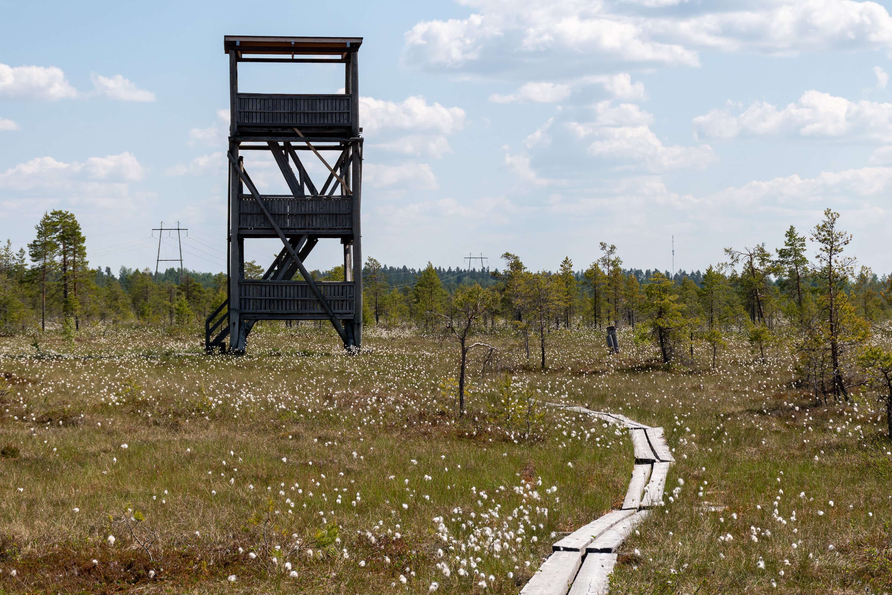
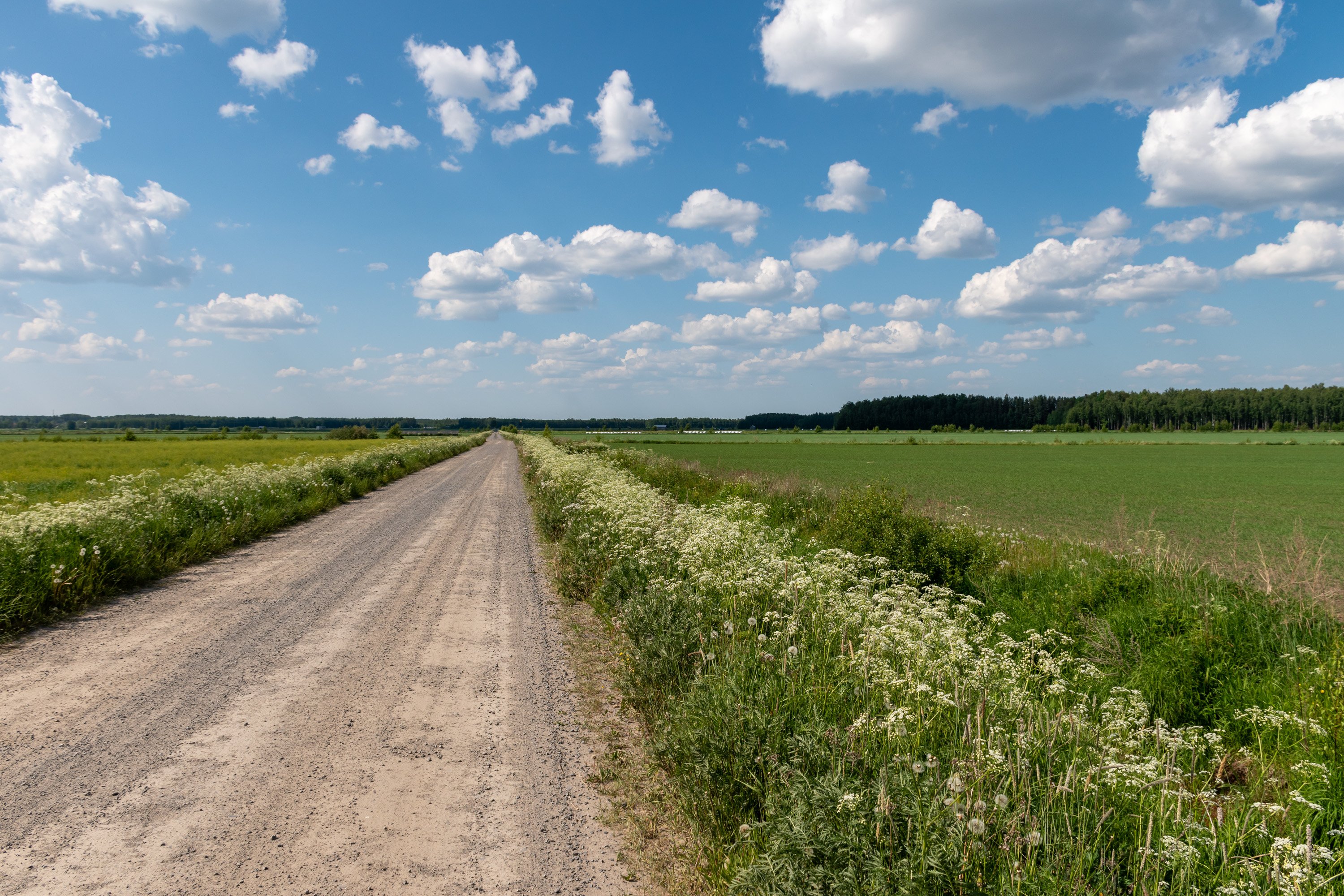
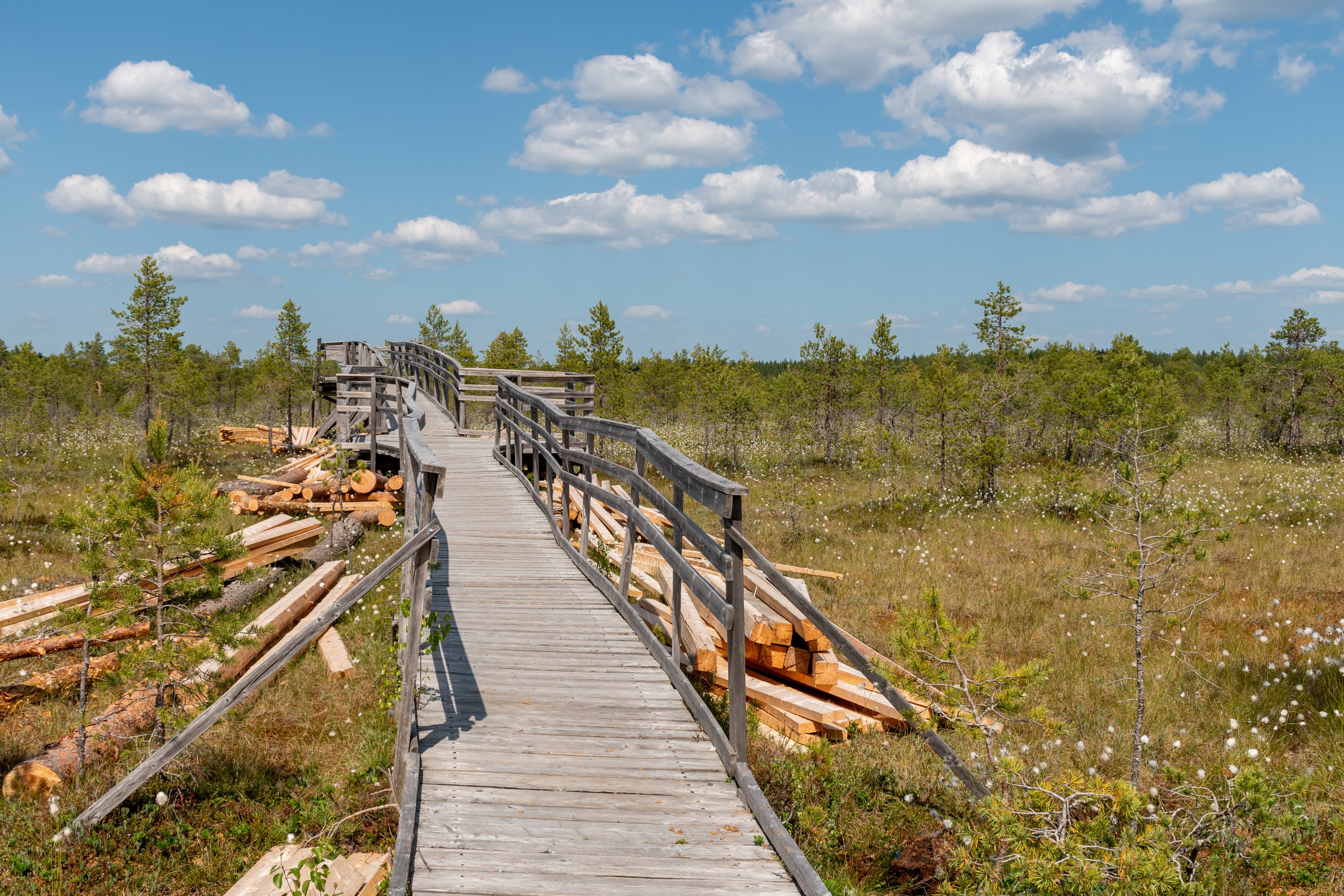
The beginning of the trail from a rest area at the Seinäjoki-Vaasa road is accessible, that is, suitable even for wheelchairs and prams. It ends with a slightly raised observation platform. It looks a bit rickety right now, so this section is being renovated.


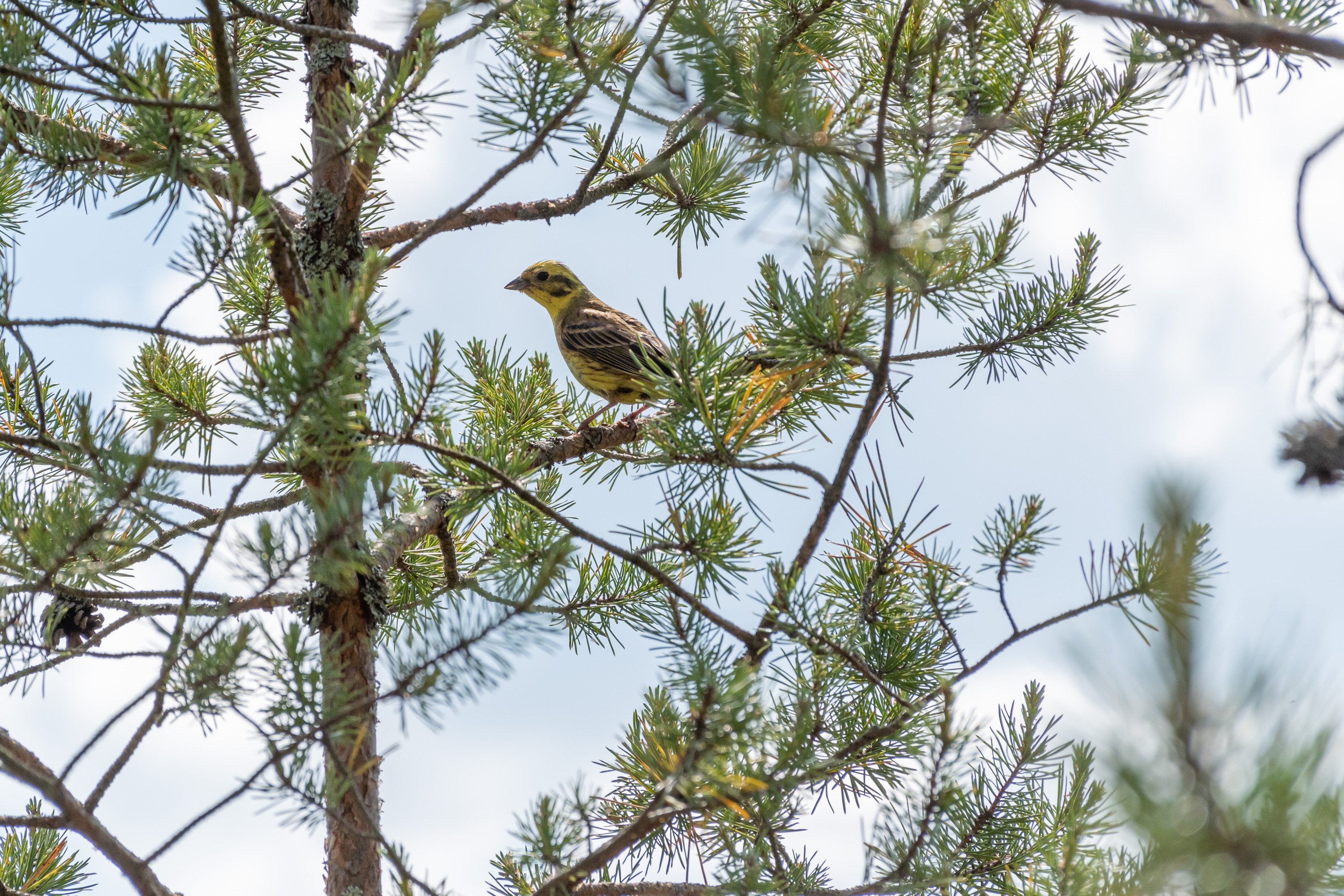
I'm not much of a birdwatcher or a wildlife photographer in general, so my only picture of the local fauna is of a basic yellowhammer (keltasirkku).
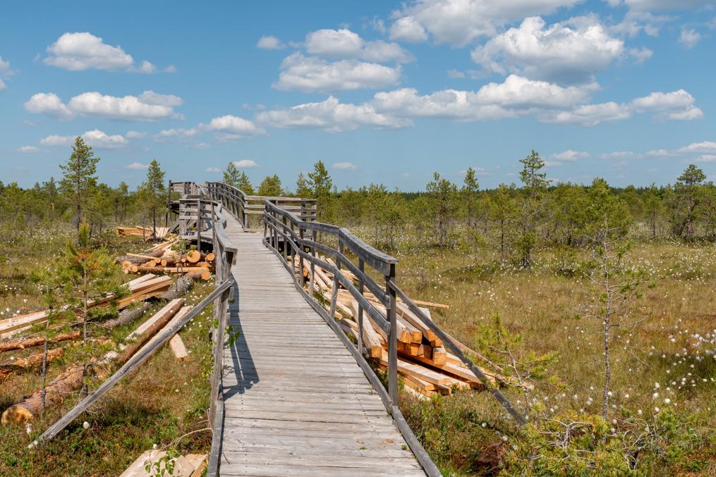
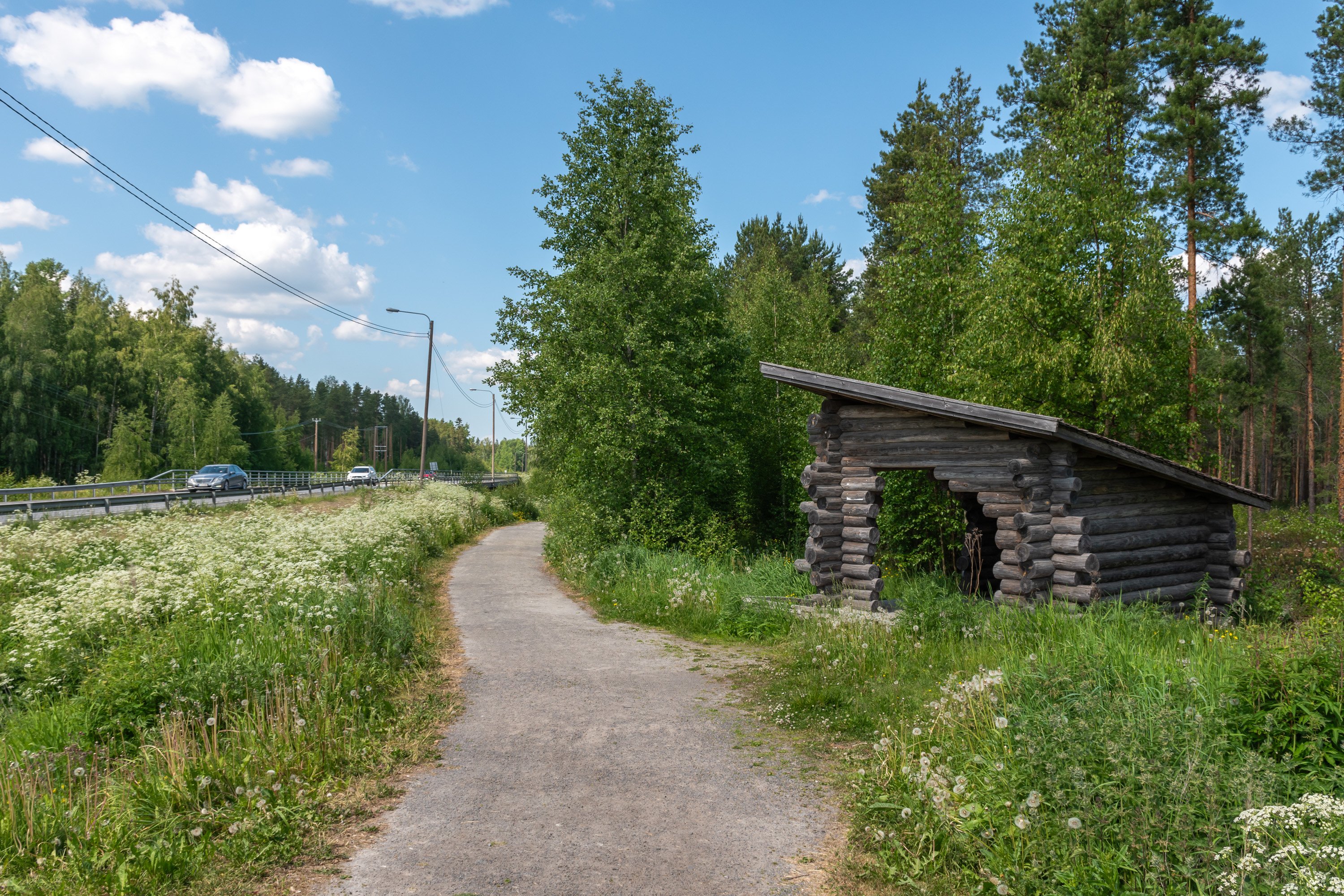
Highest buildings of Seinäjoki are visible from the bigger observation tower farther on the trail, in the treeless part of the bog. Power lines across the bog ruin the view a bit, of course. There is also a lean-to shelter on a side branch of the trail, not pictured here.

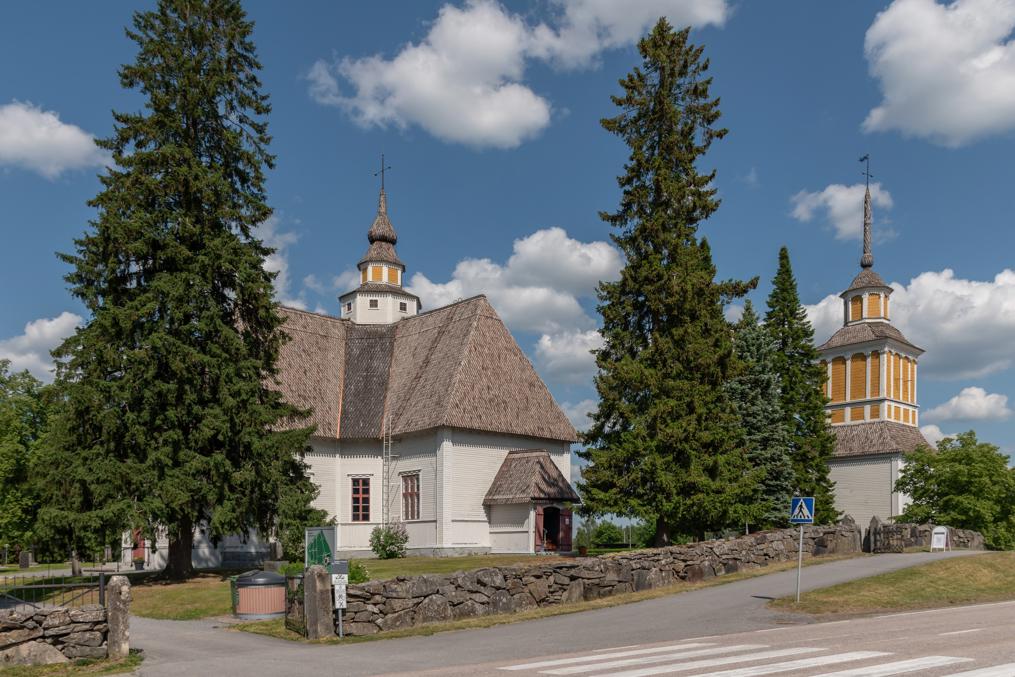
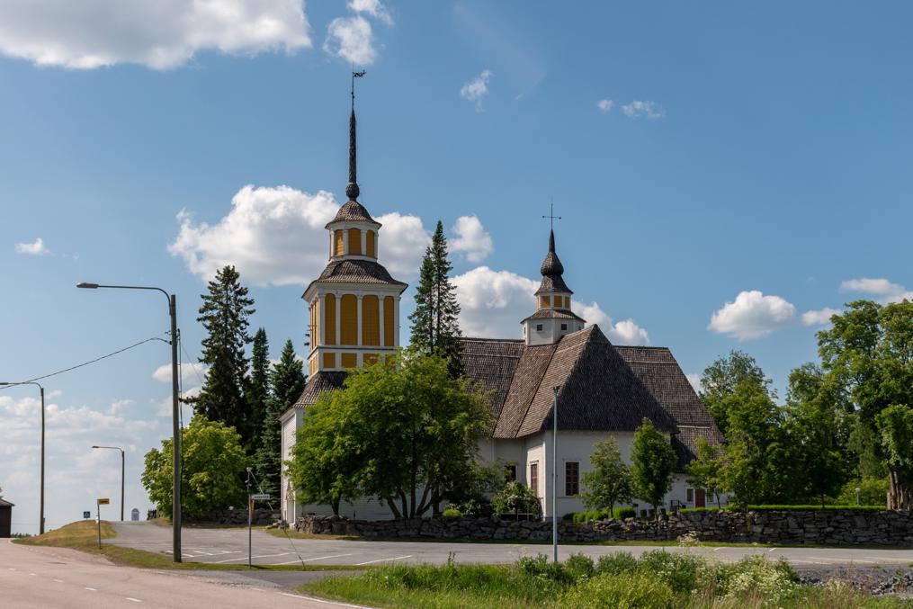
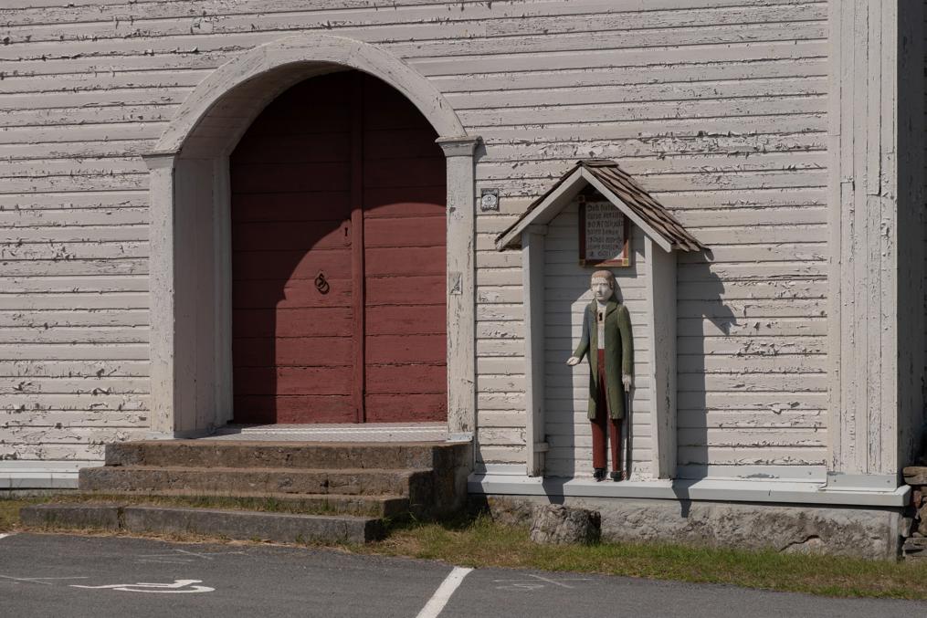
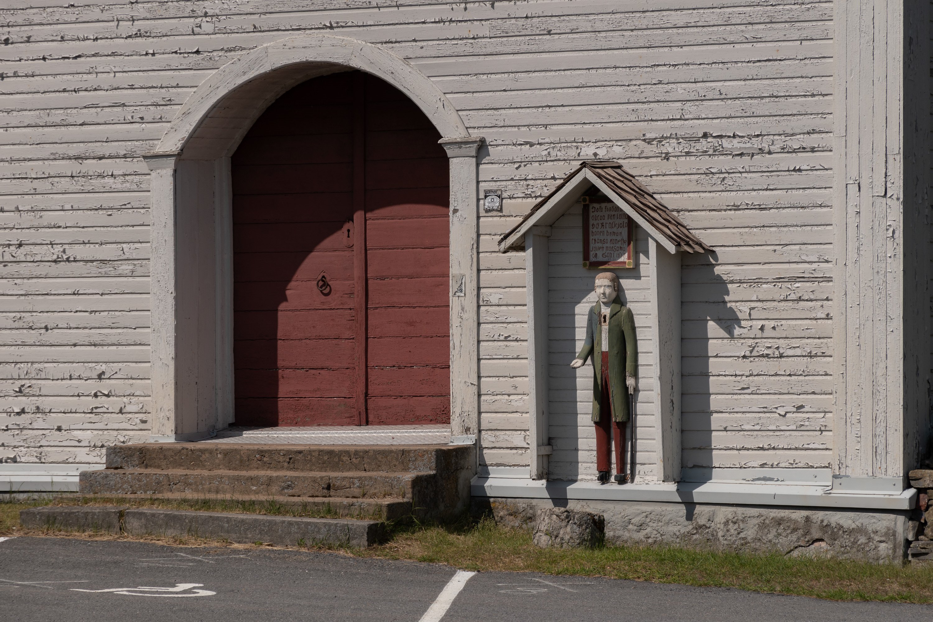
The church of Nurmo, Seinäjoki's satellite town northeast of the city, briefly peeks among the trees in another direction, and it's easy to continue to Nurmo after the trail (or walk the other way, from Nurmo to Vaasa road). A classic cross-shaped wooden church from 1779, it has an alms box outside in the shape of a disabled war veteran (vaivaisukko), typical for Western Finland.
 Alkuperäinen Twitter-ketju: