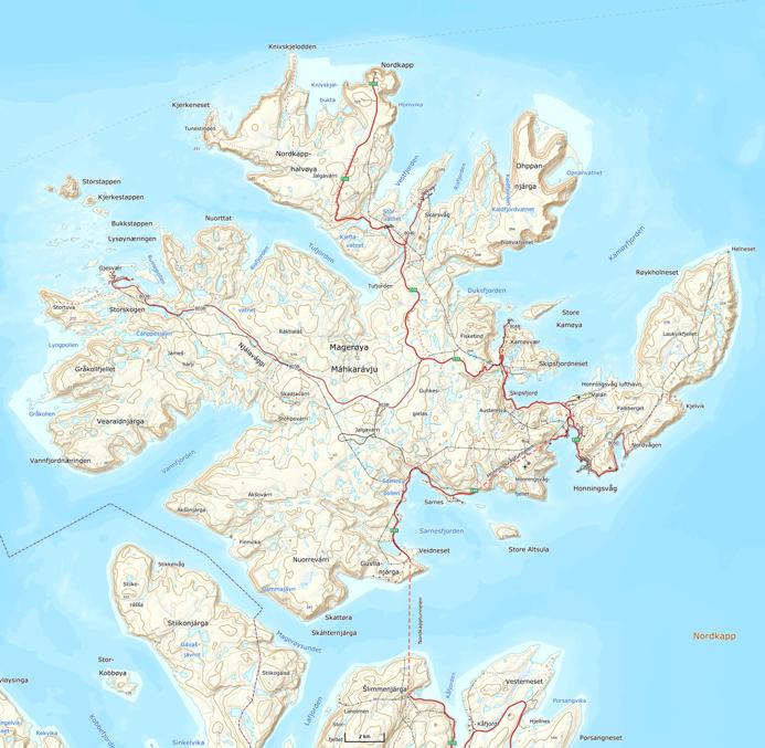
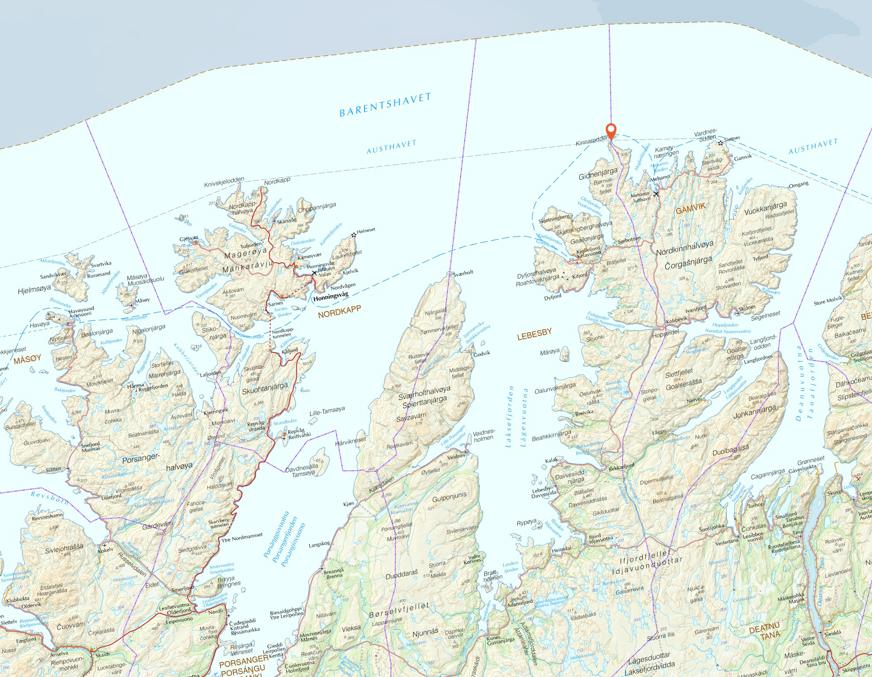
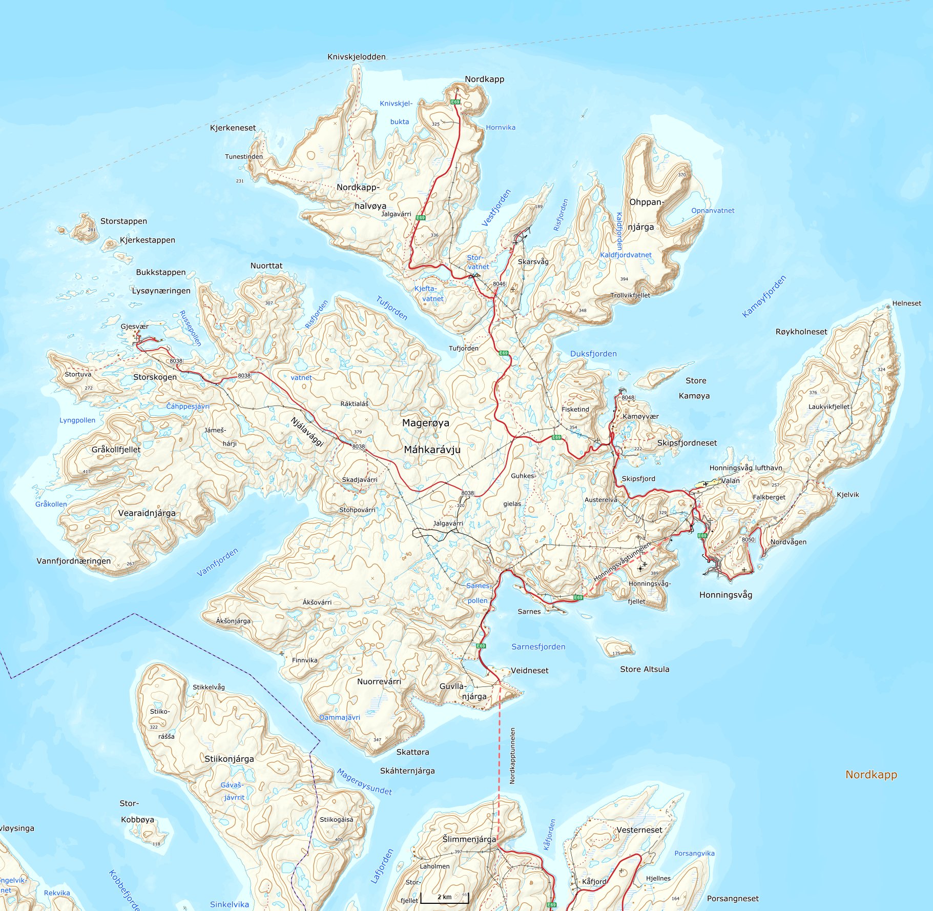
Nordkapp (North Cape), perhaps the most popular tourist attraction in North Norway (along with Lofoten isles), is widely marketed as the northernmost point of Europe. In reality however cape Knivskjellodden, close by to the west, extends 1.5 km even farther to the north.
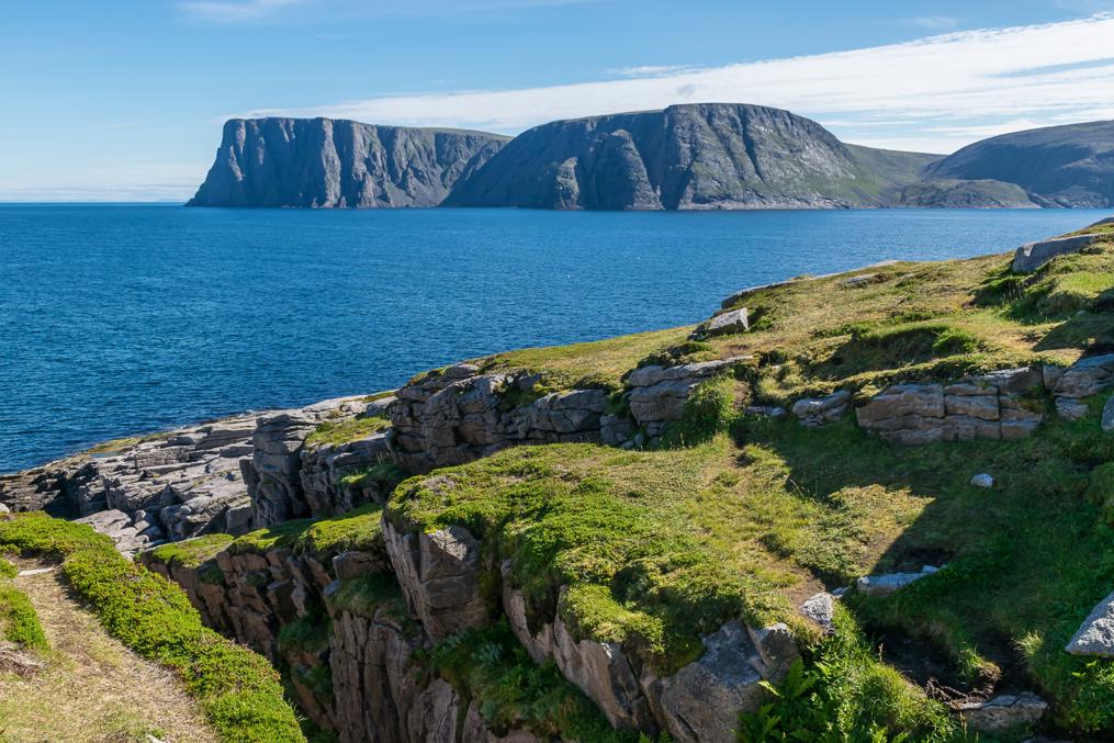
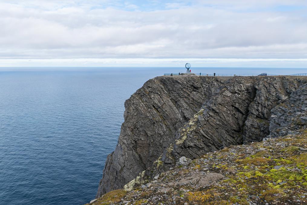
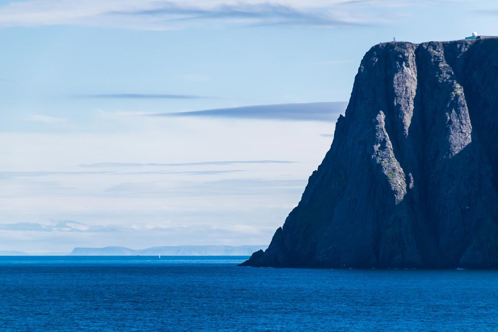
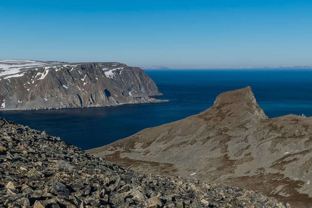
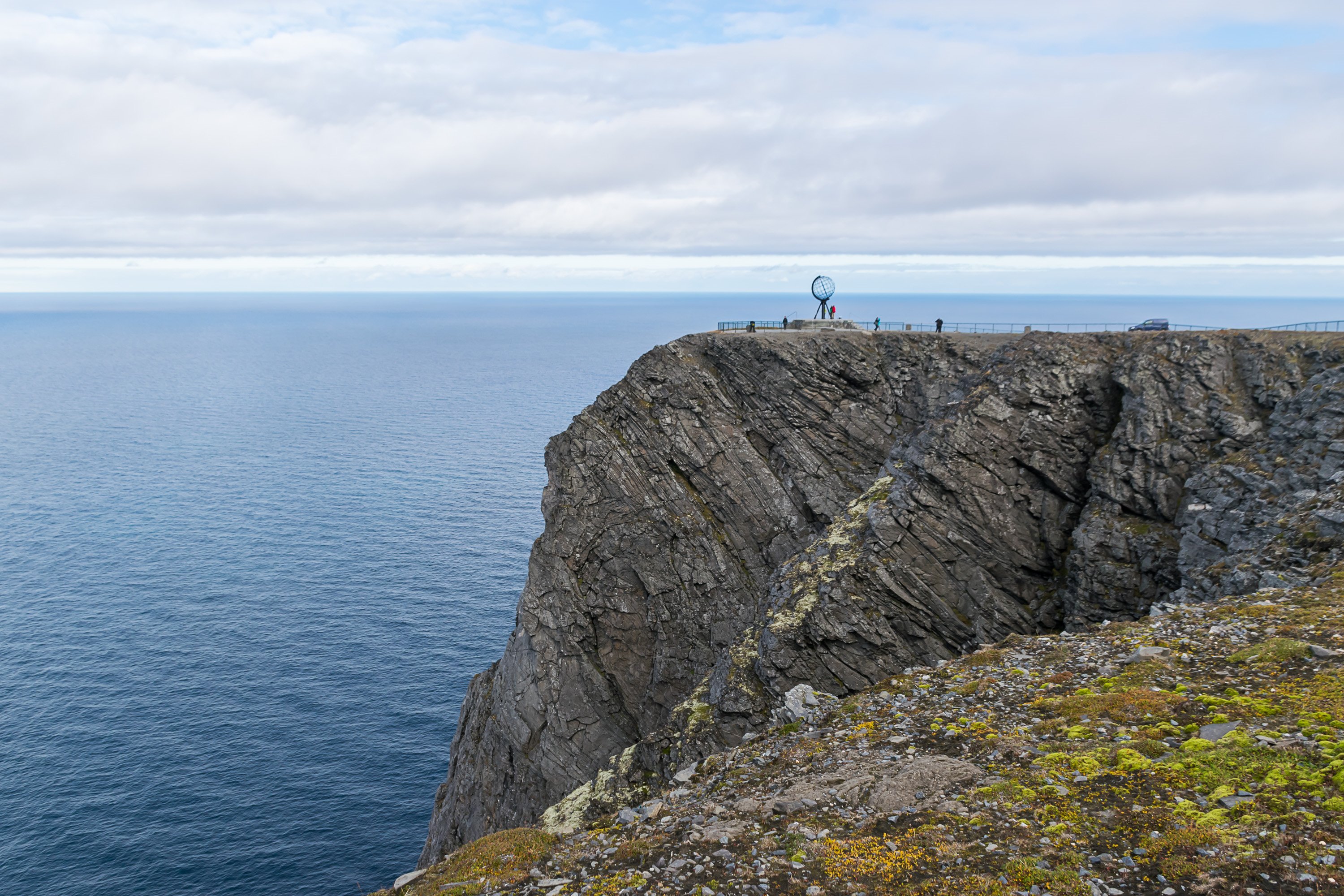
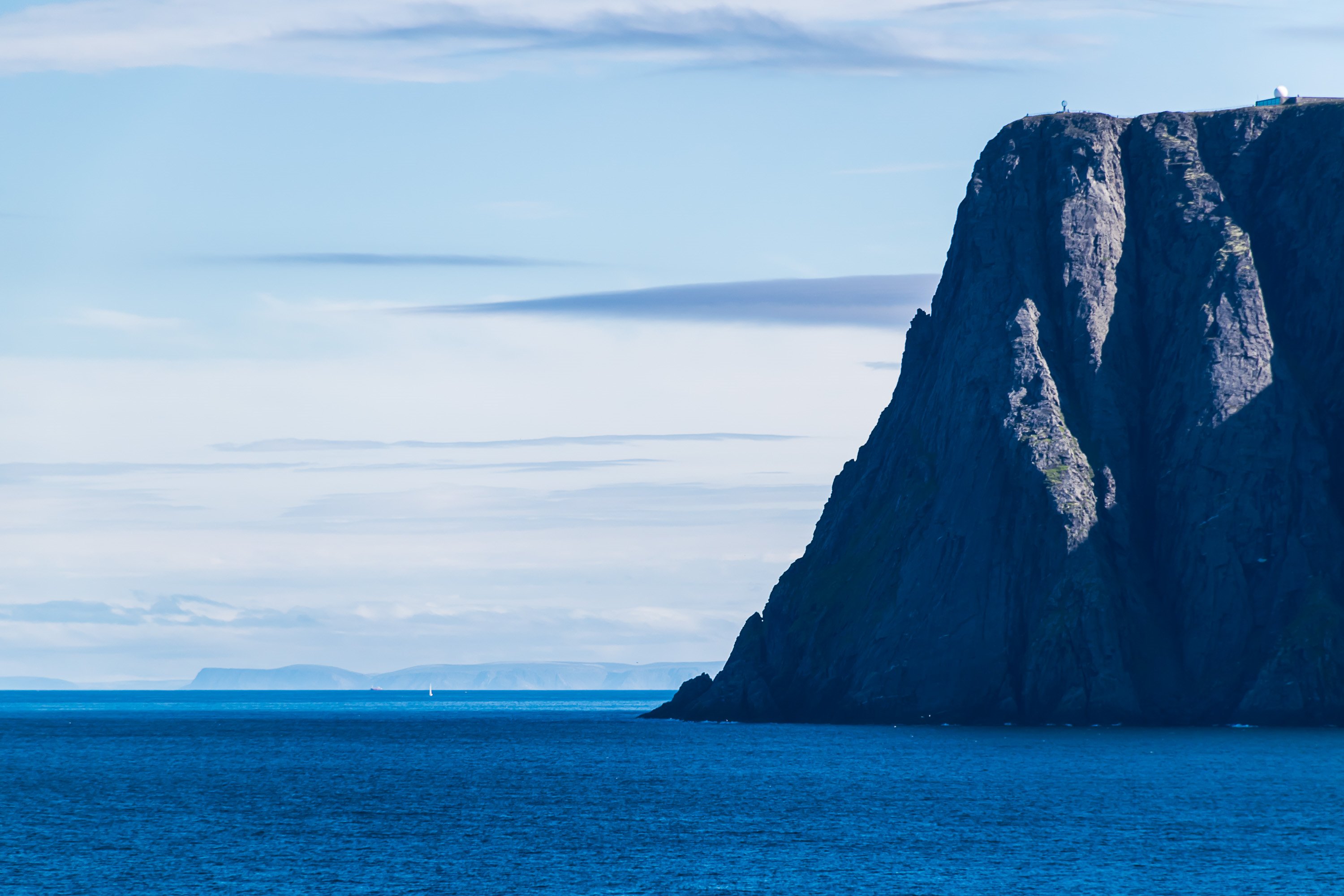
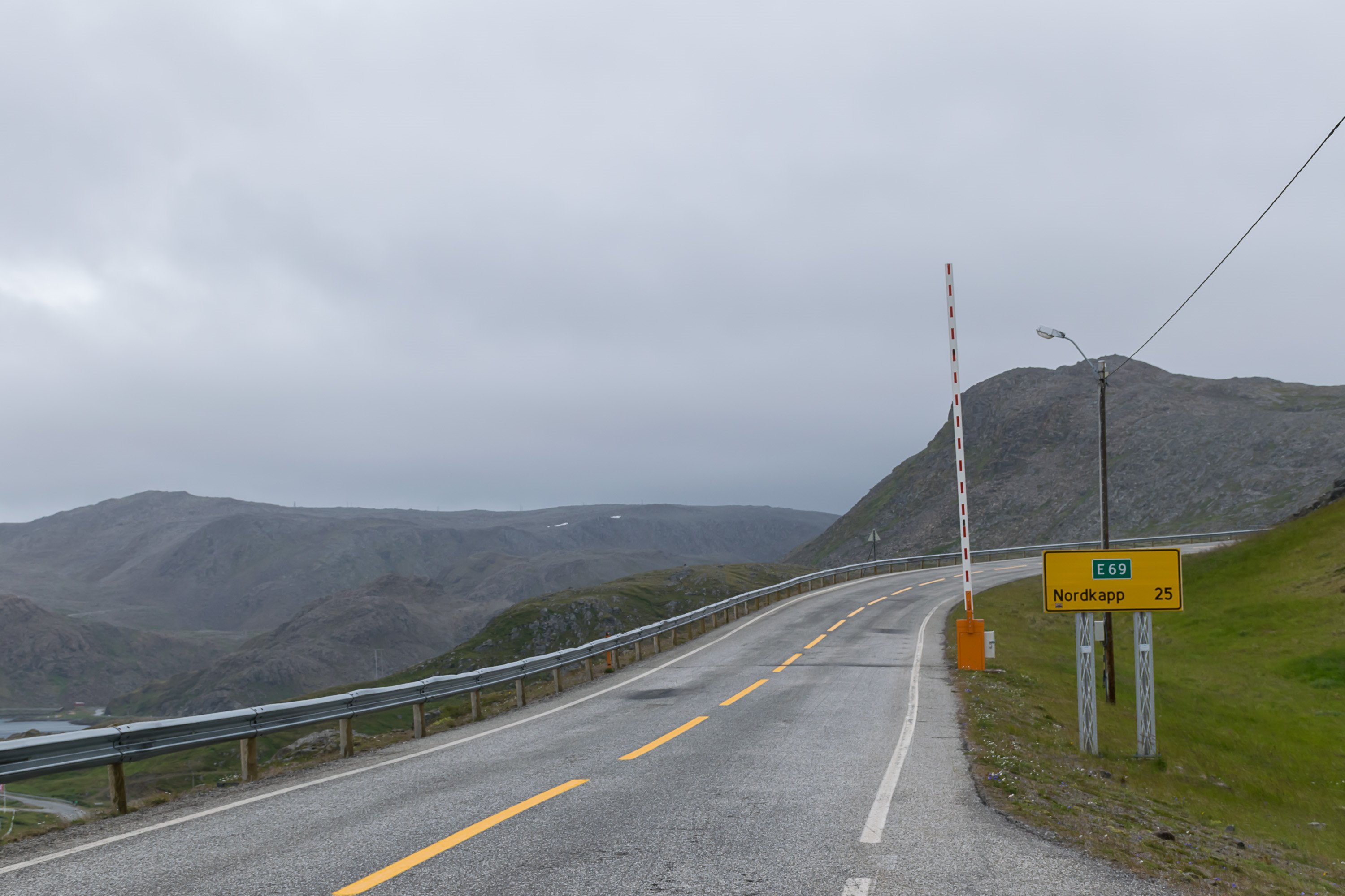
Nordkapp, of course, is far more dramatic, a sheer cliff 307 m high over Barents Sea. It has a paved public road going there (European Road E69, a sight in itself) and a rather large tourist complex. Knivskjellodden is a much more shallow rock and requires a hike of 19 km (9.5 km in one direction).

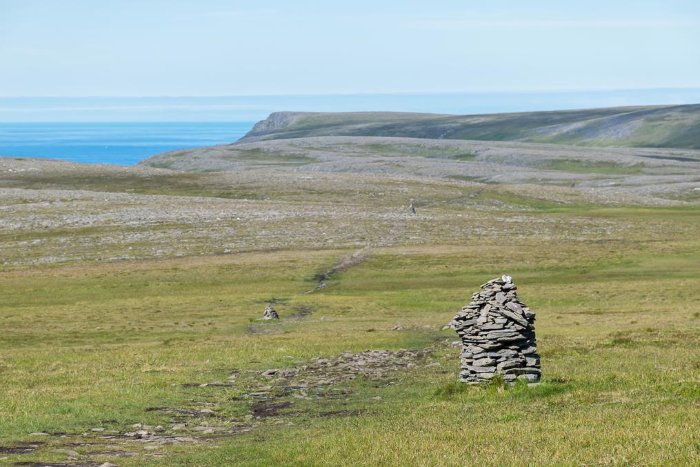
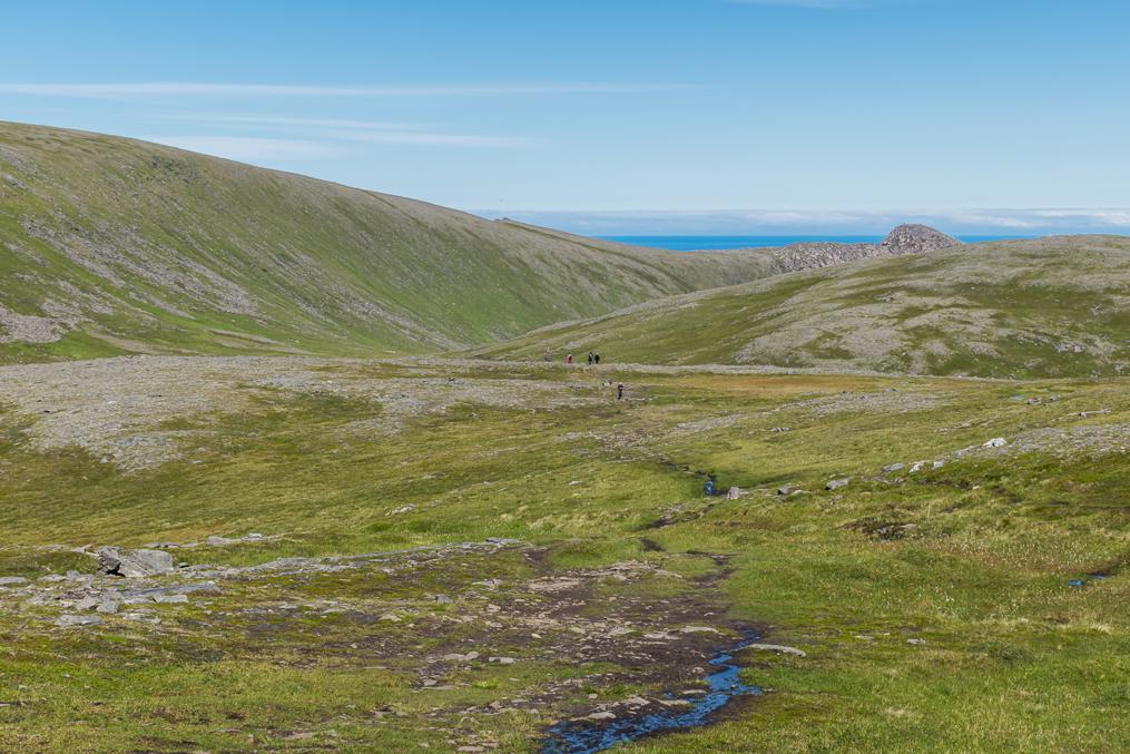
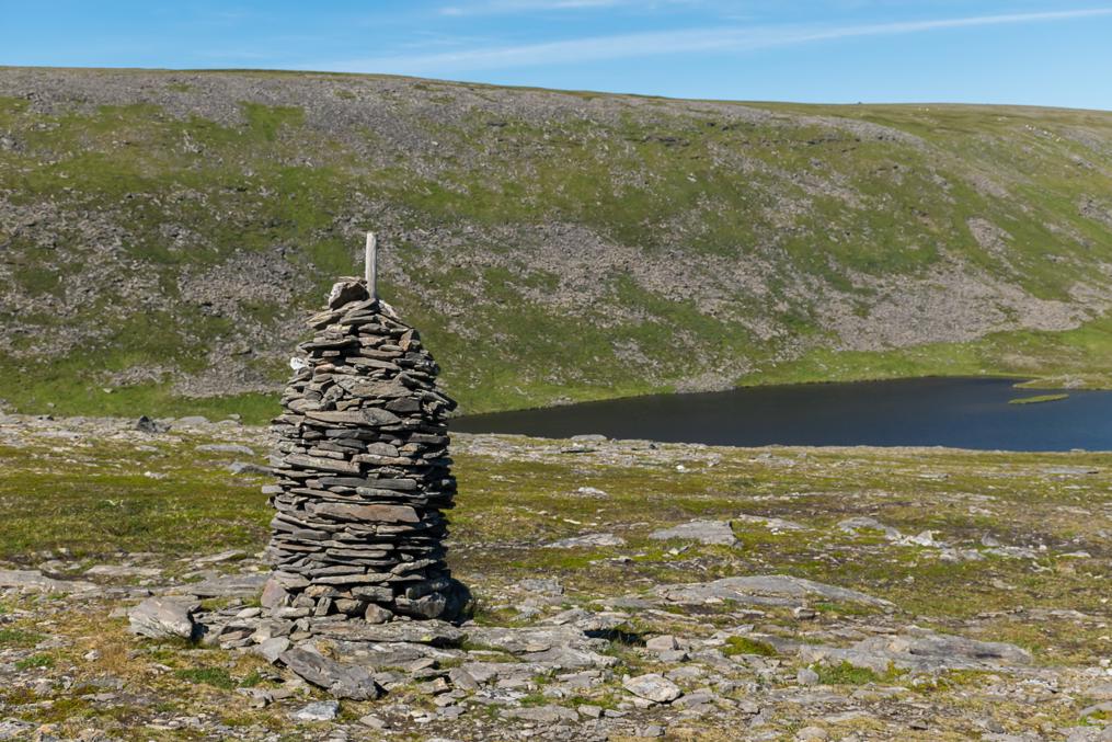
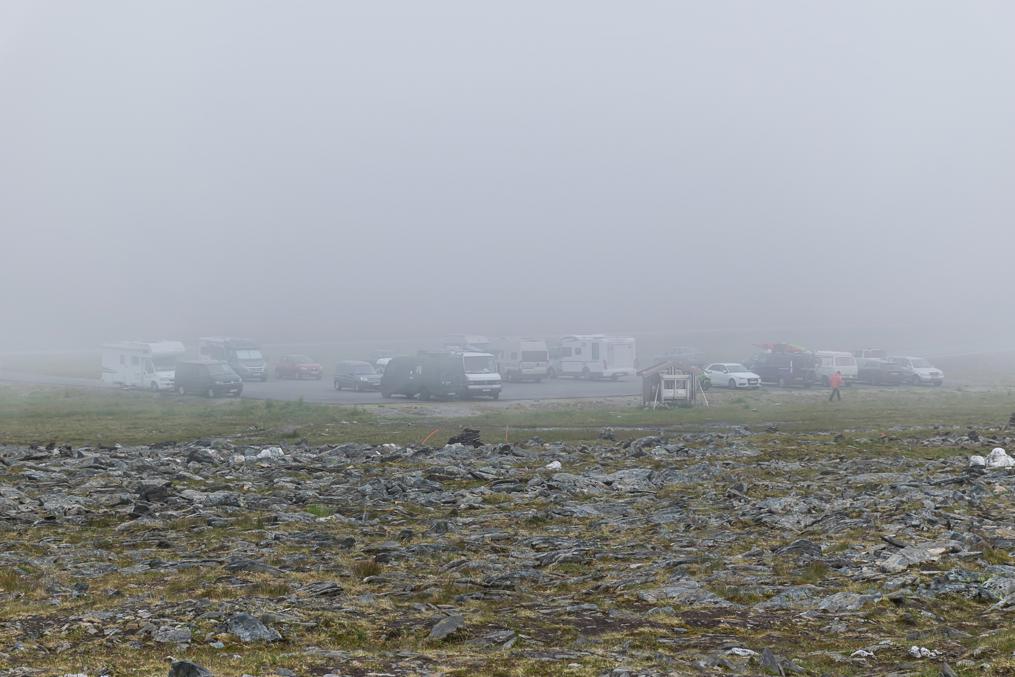
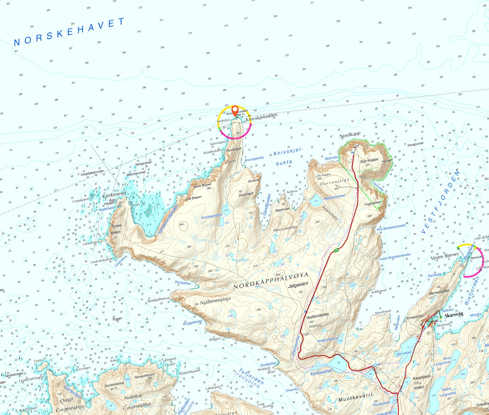
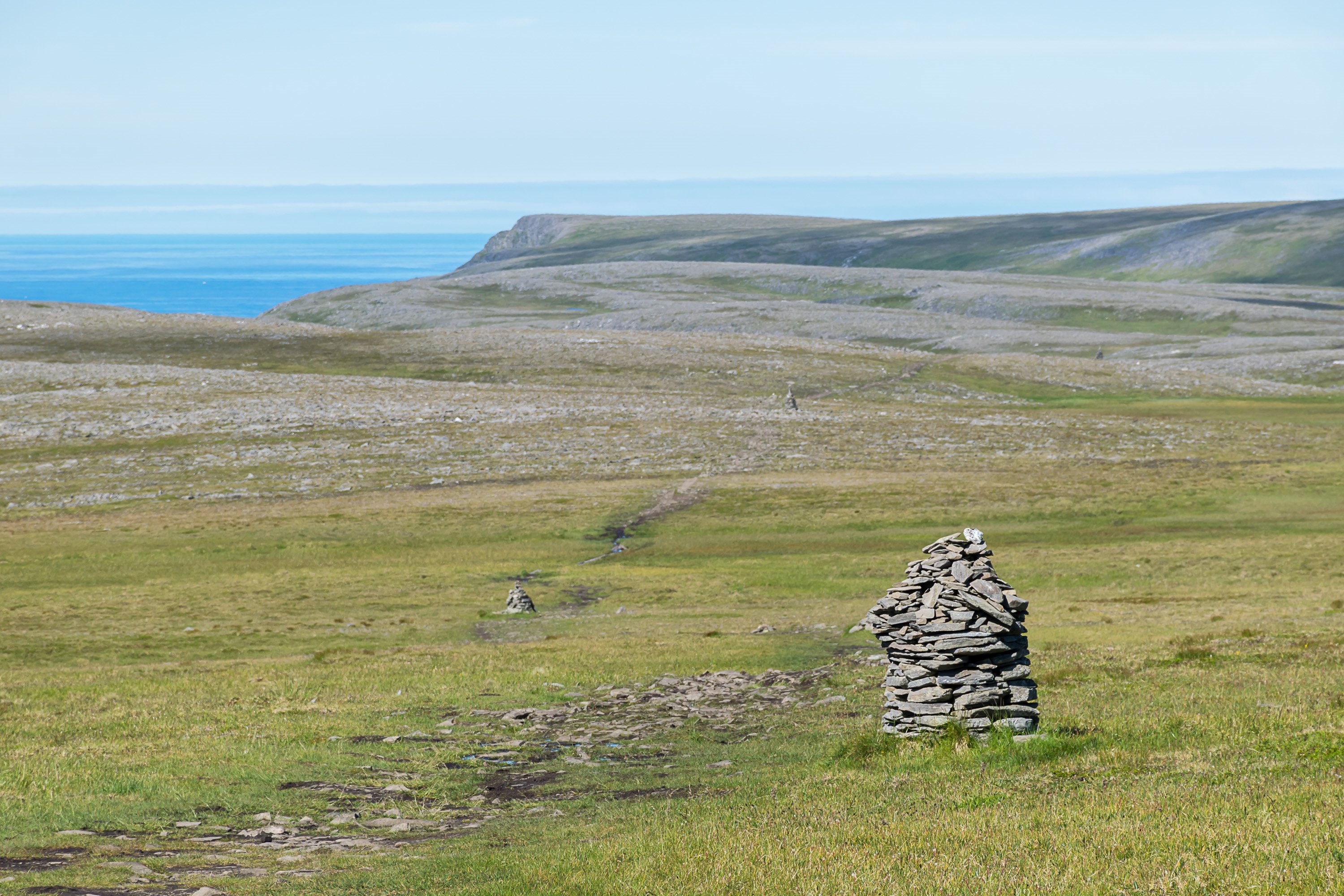
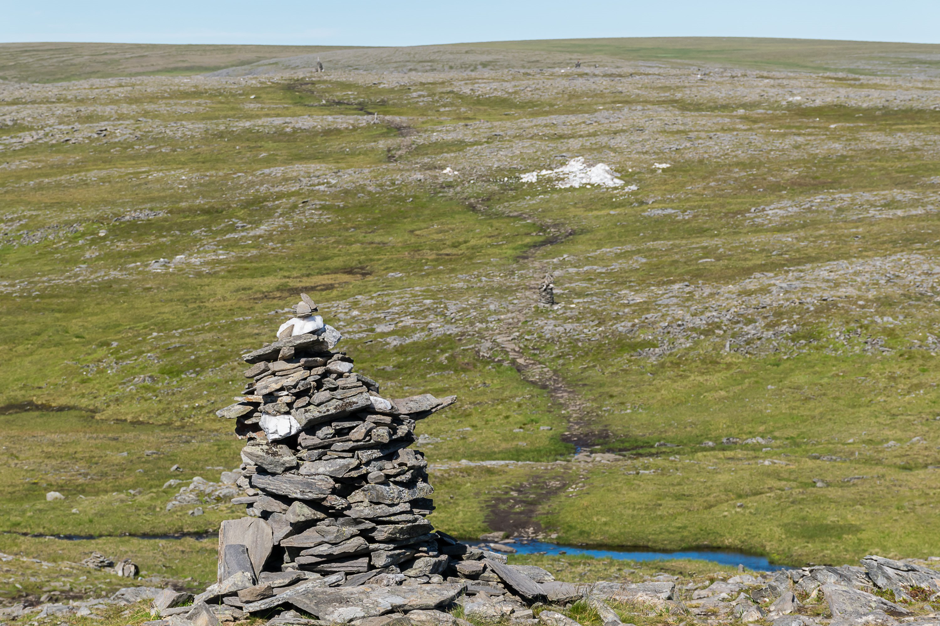
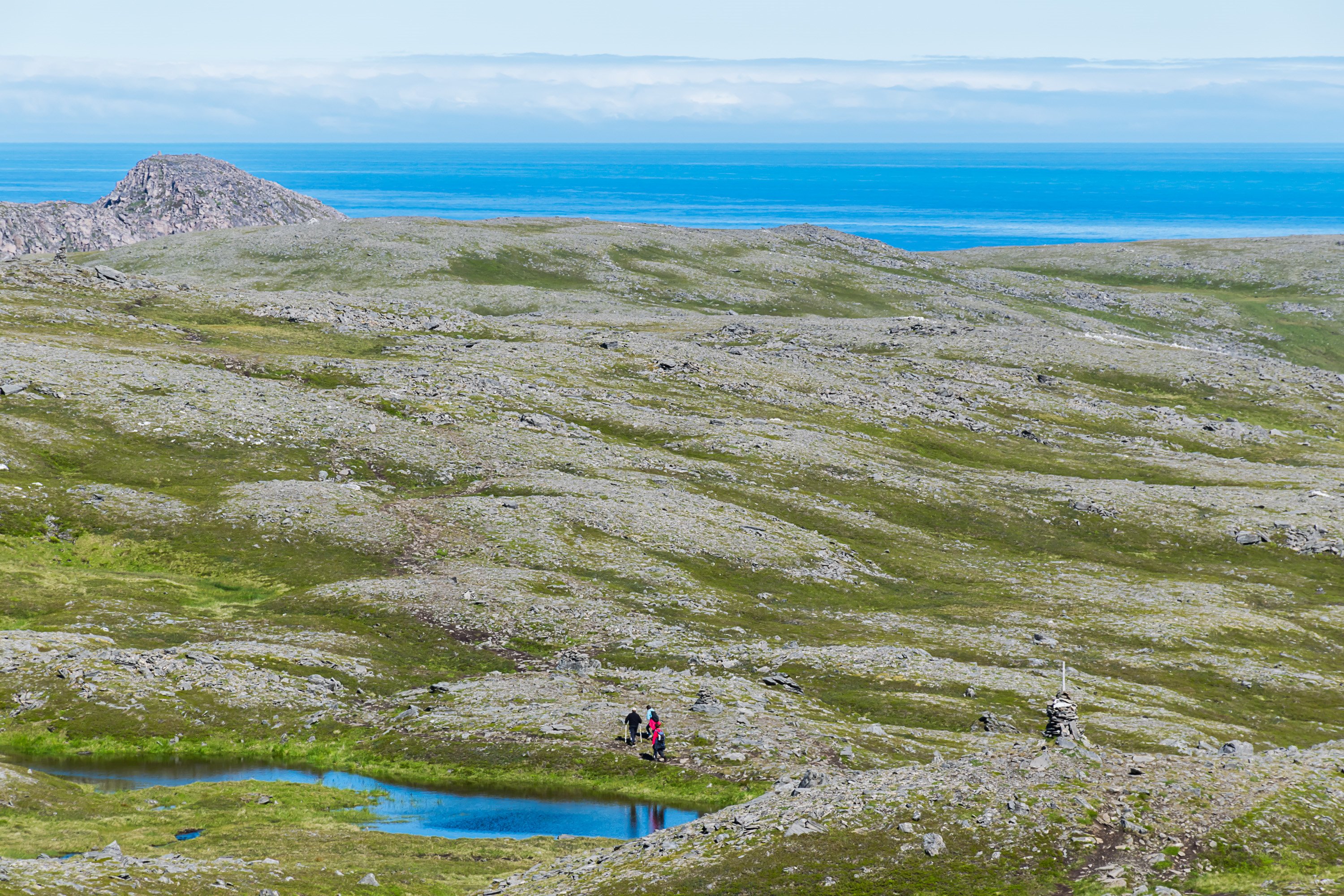
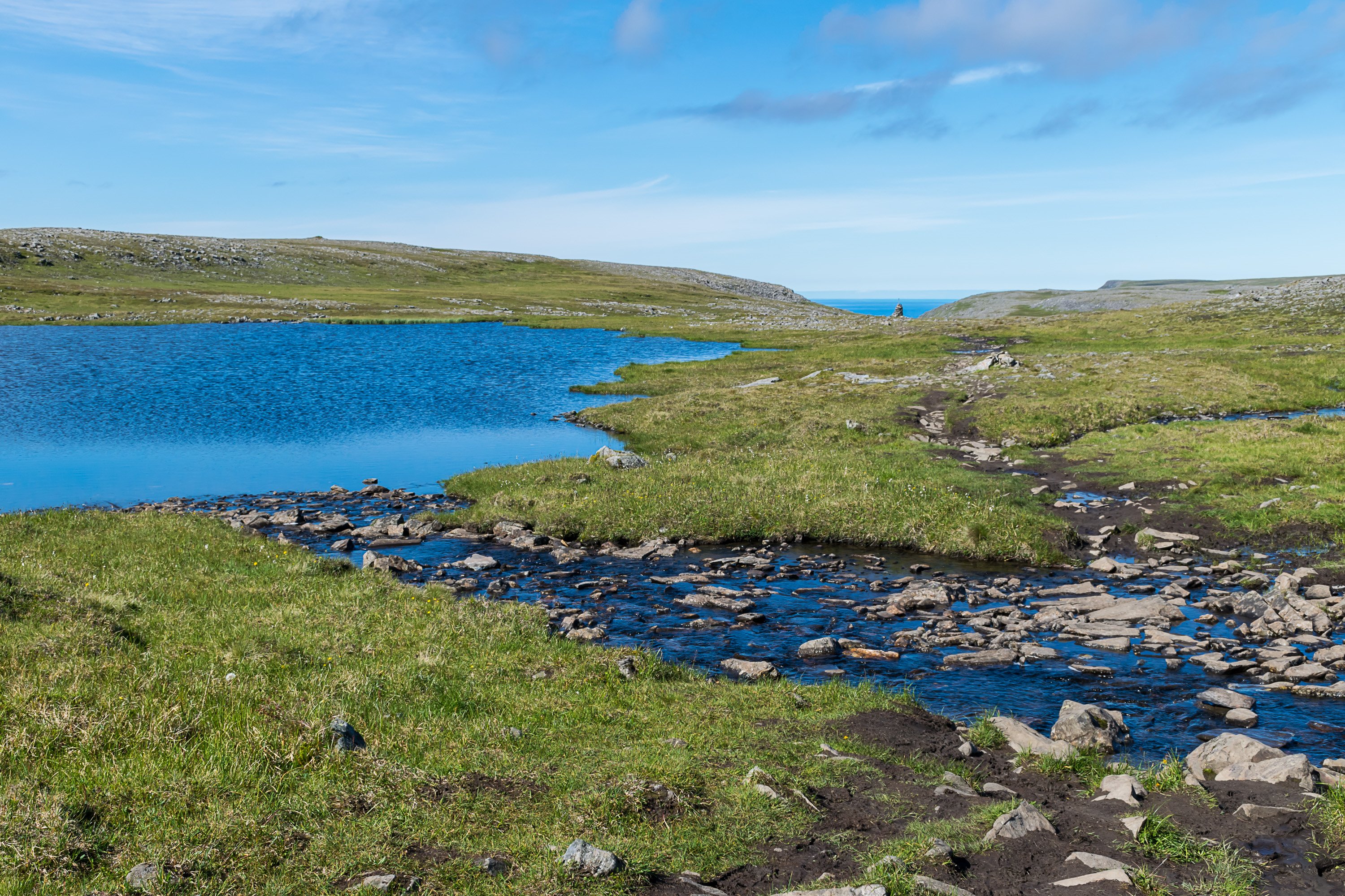
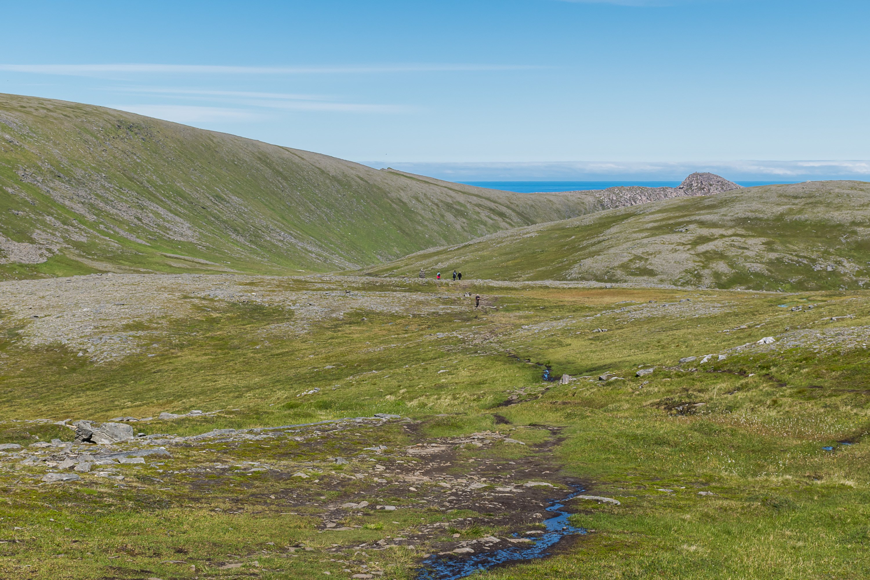
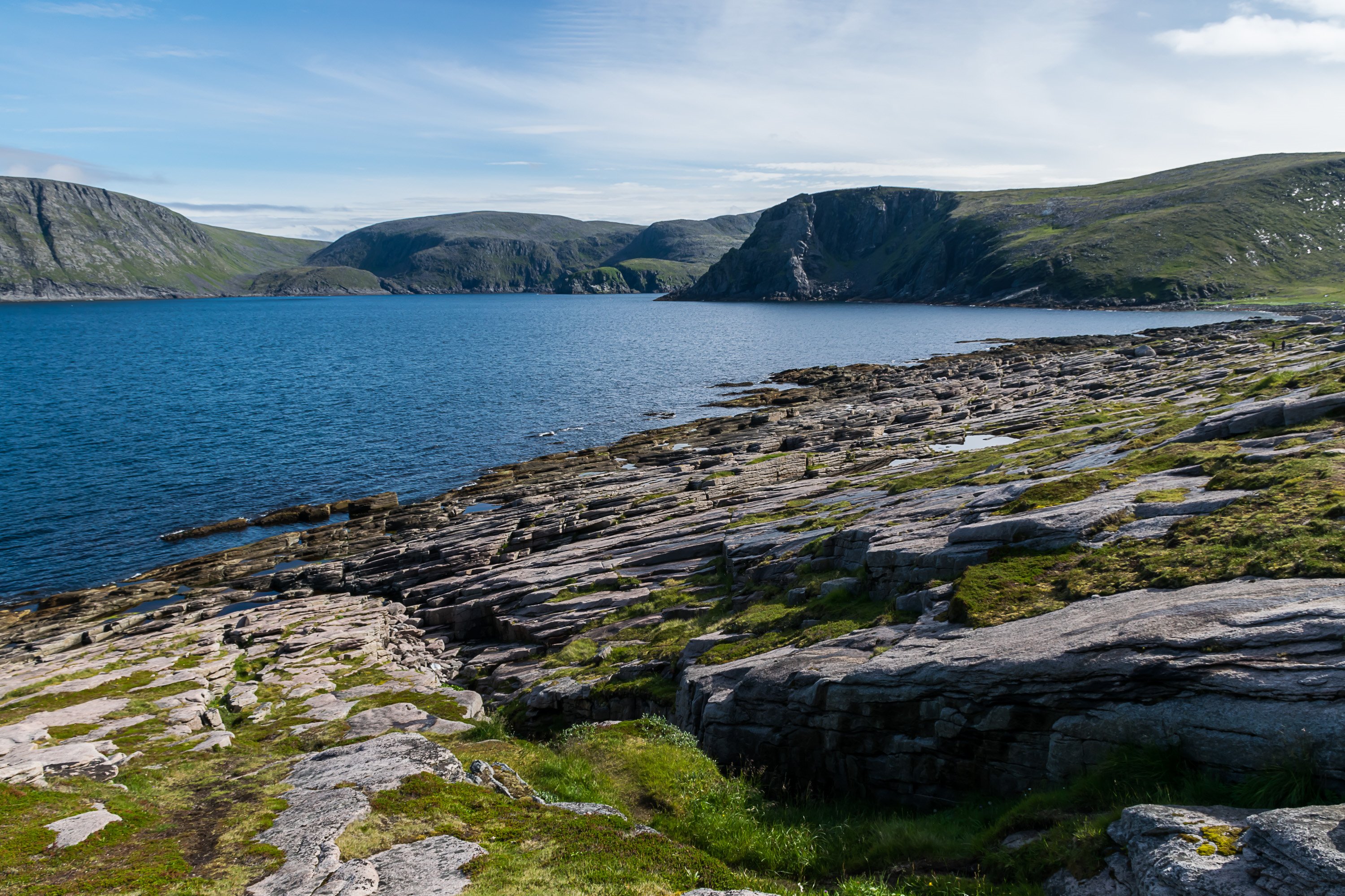
The trail starts from a parking lot at Road E69, 6 km before Nordkapp. This is a rather popular trail; by Norwegian standards it is very well marked with large cairns, and not especially difficult apart from the length.


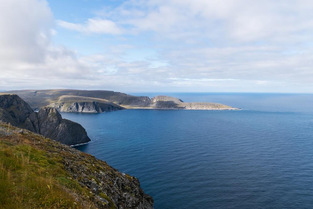
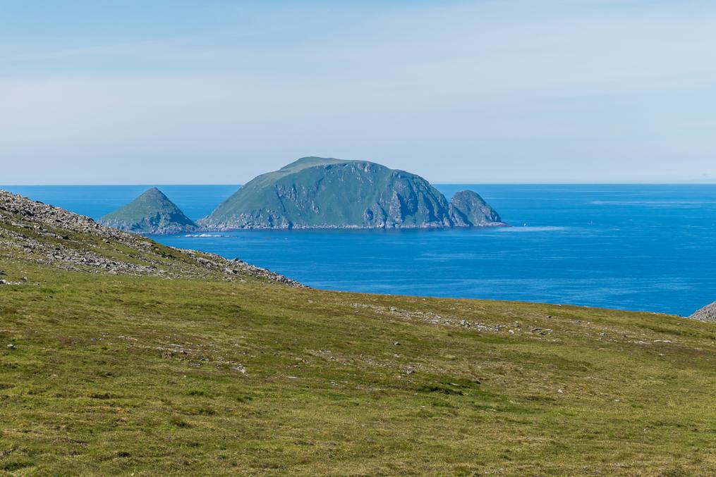
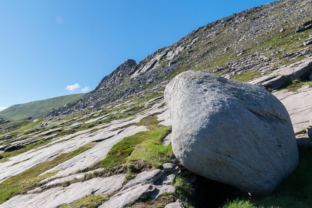
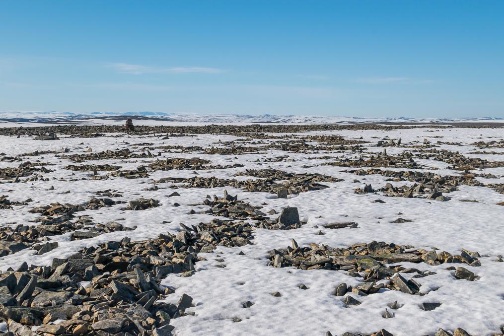
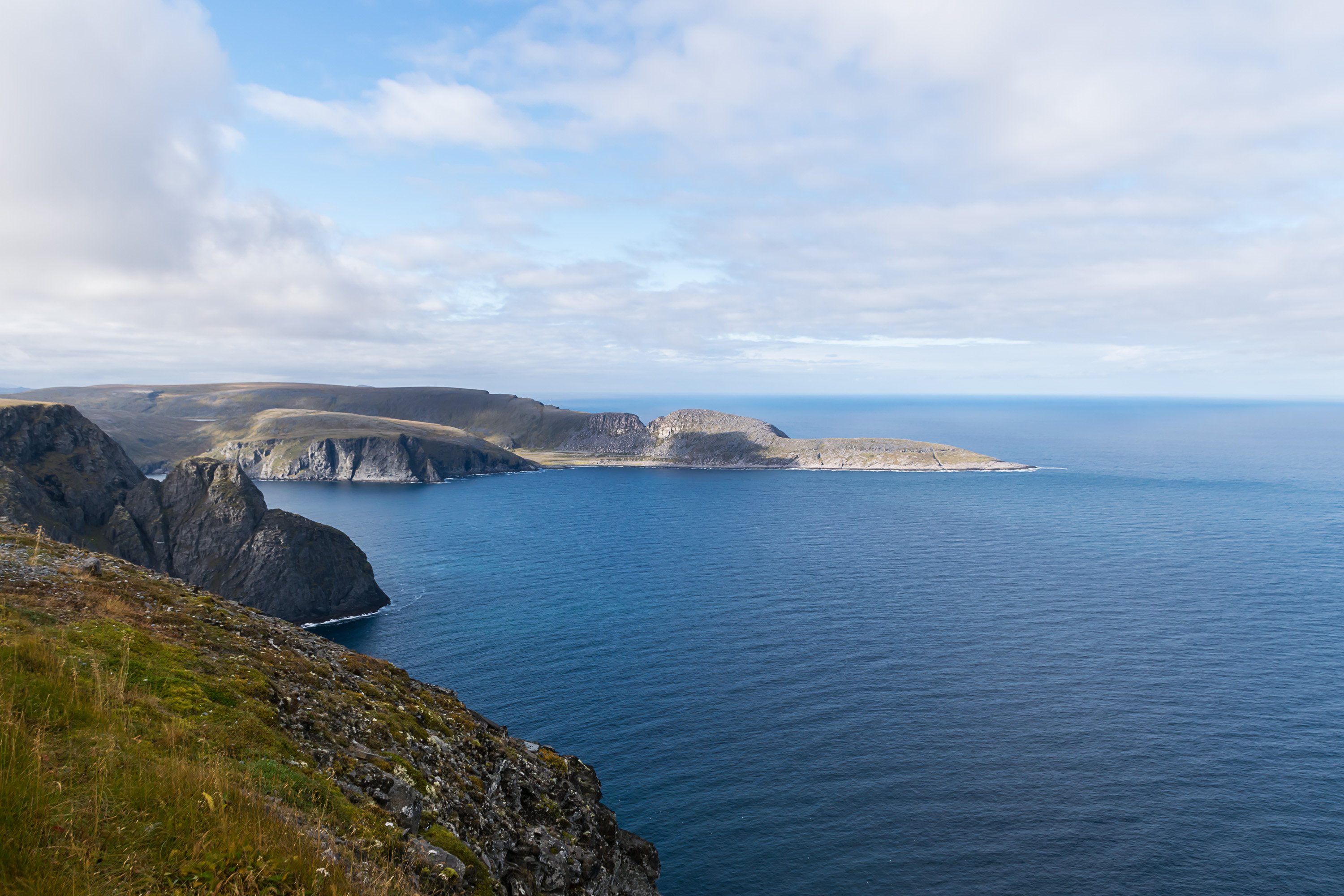
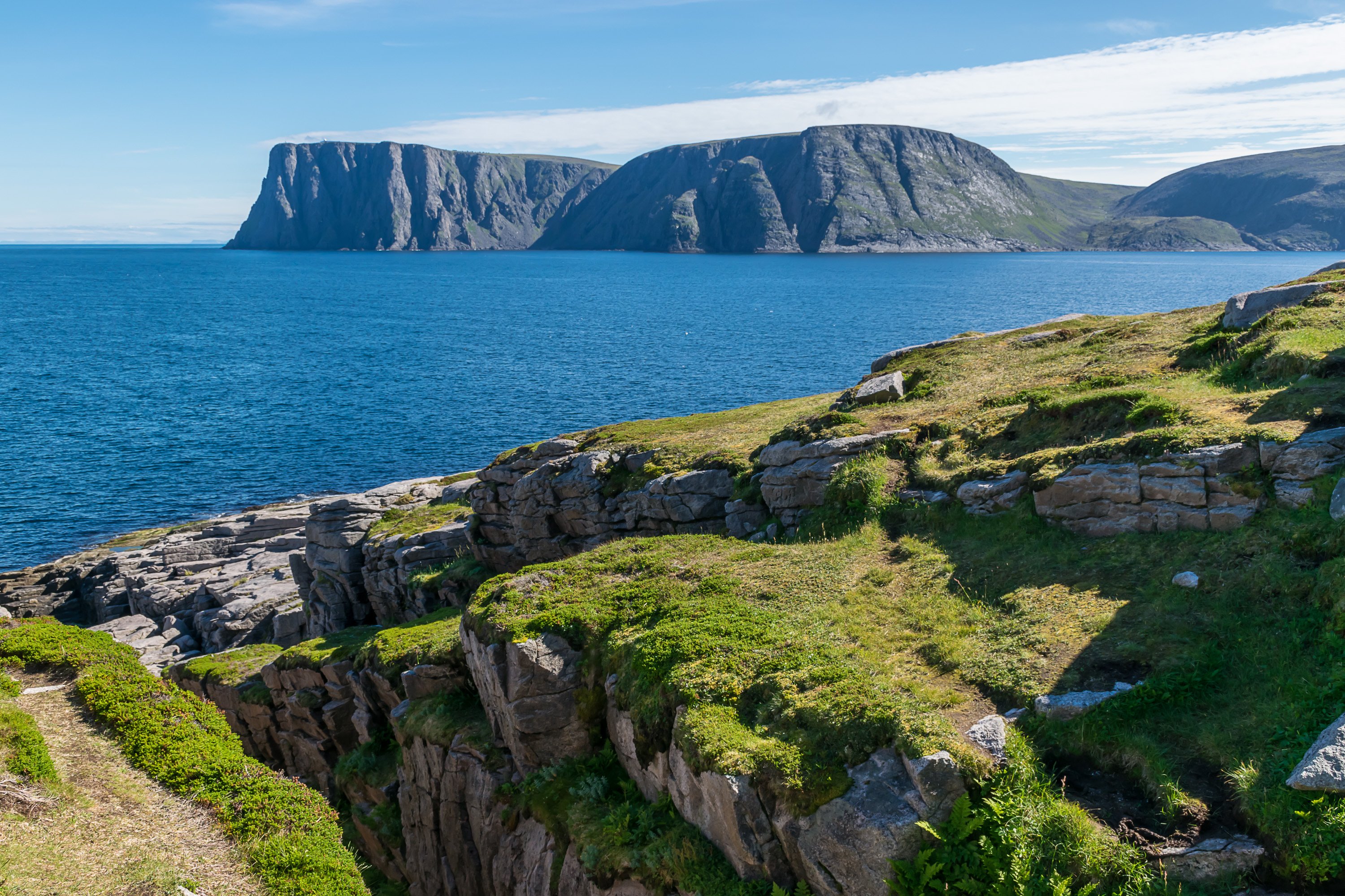
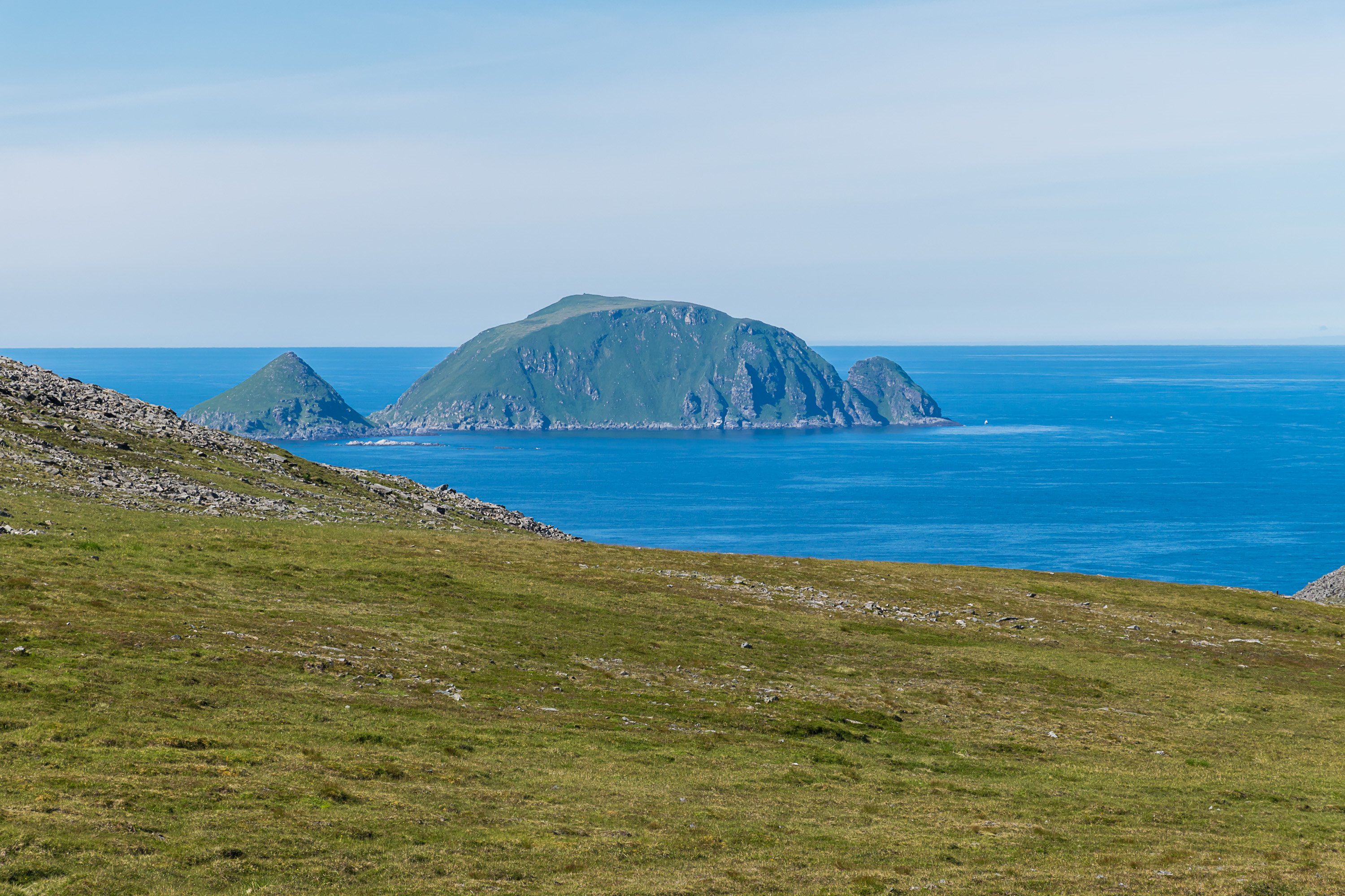
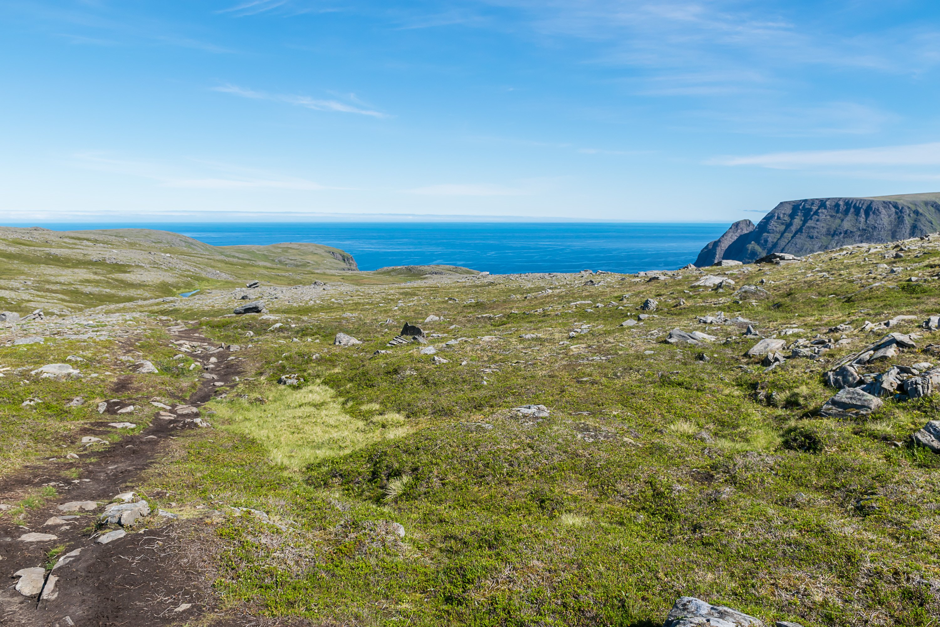
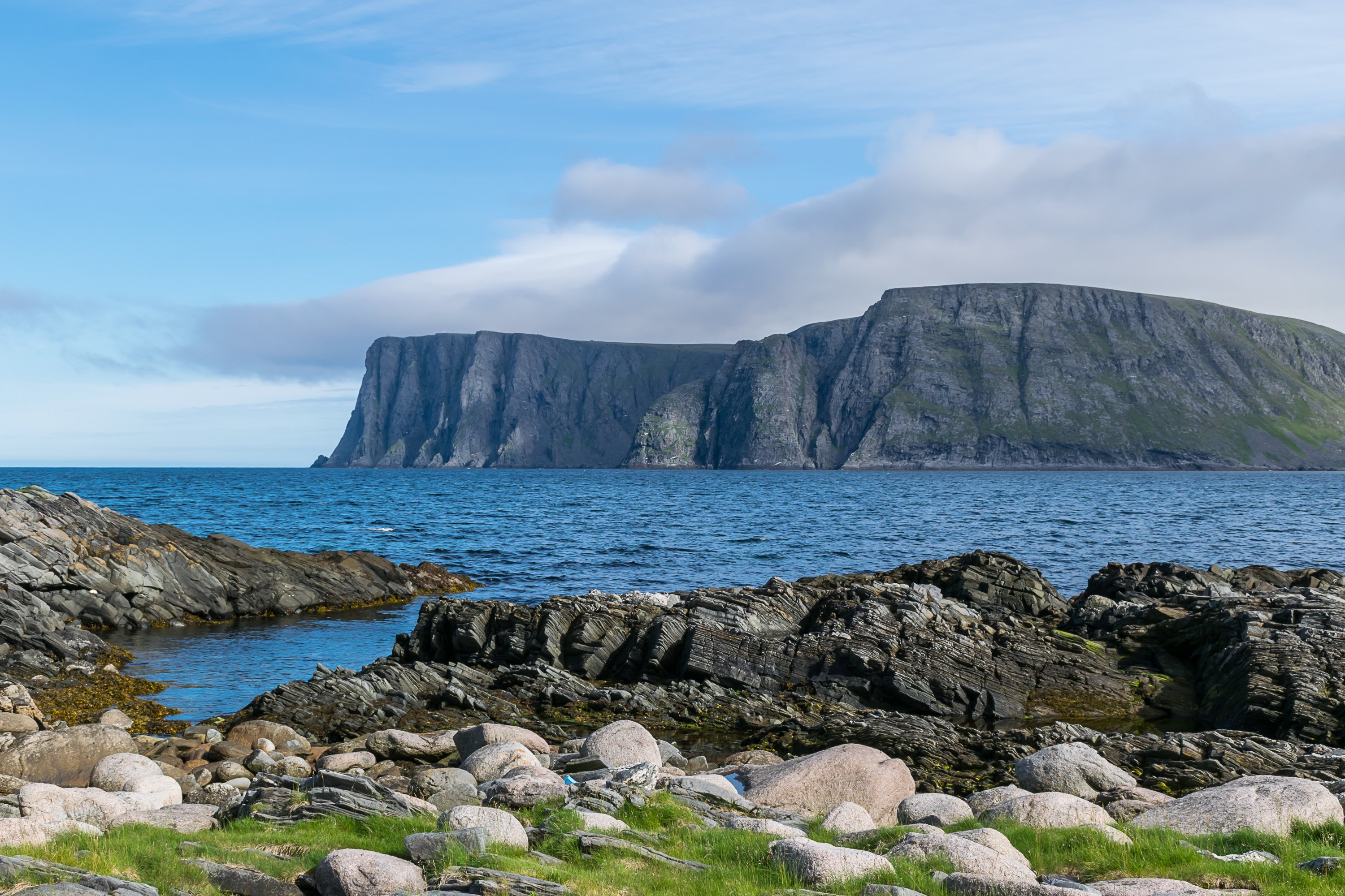
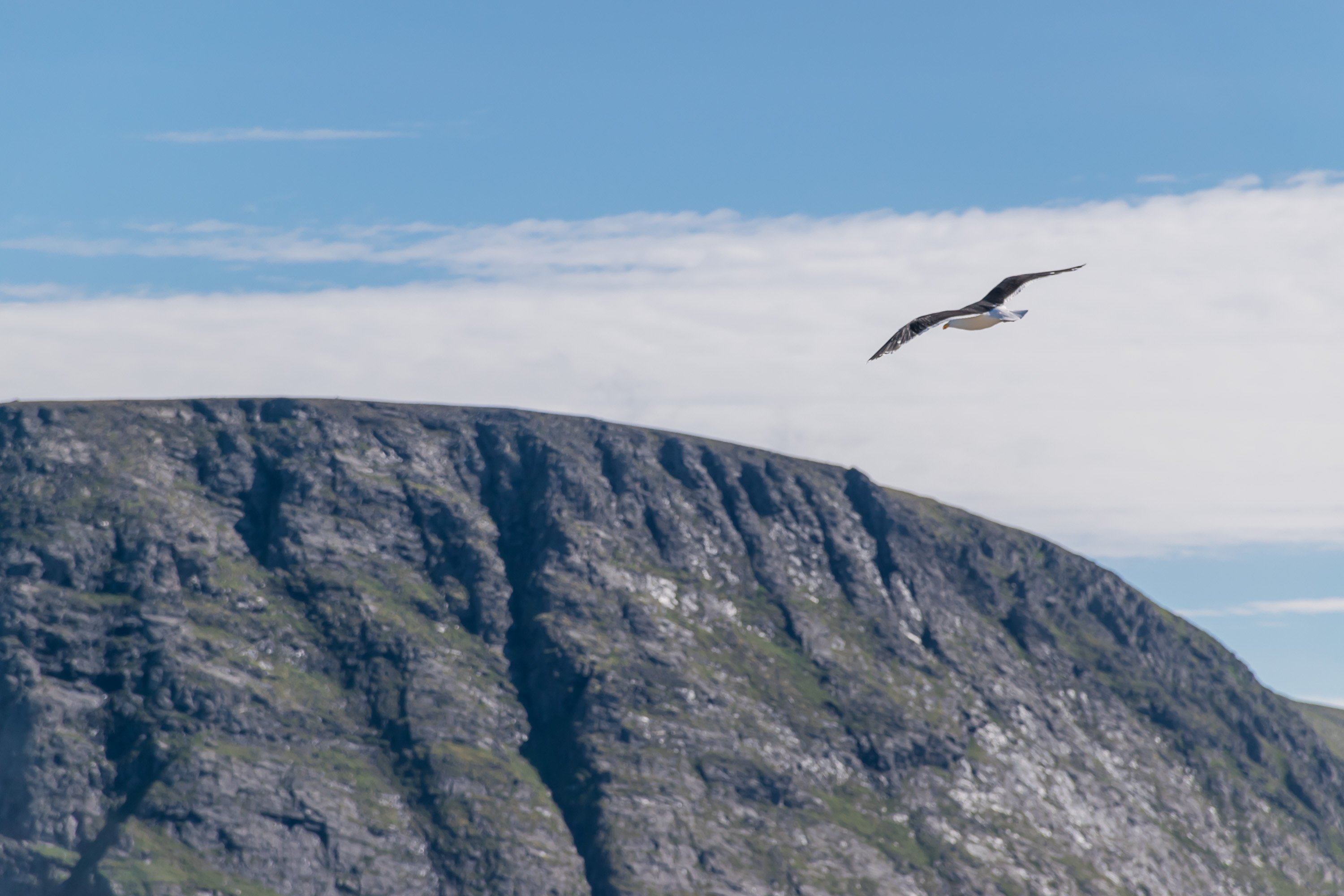
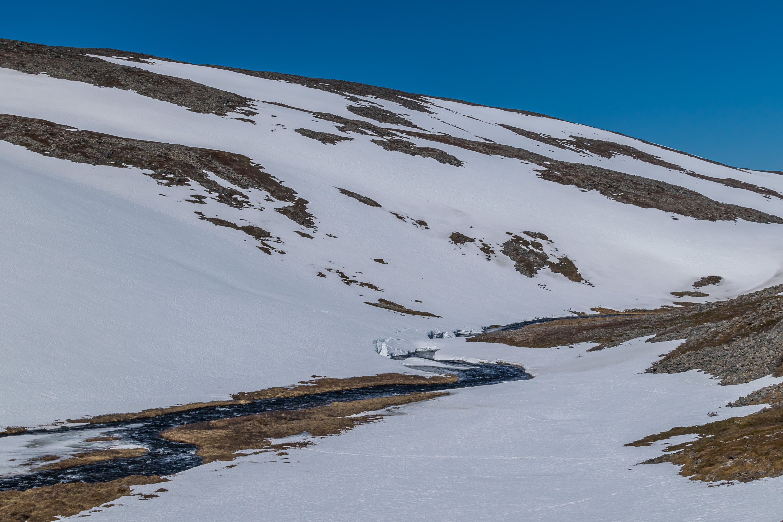
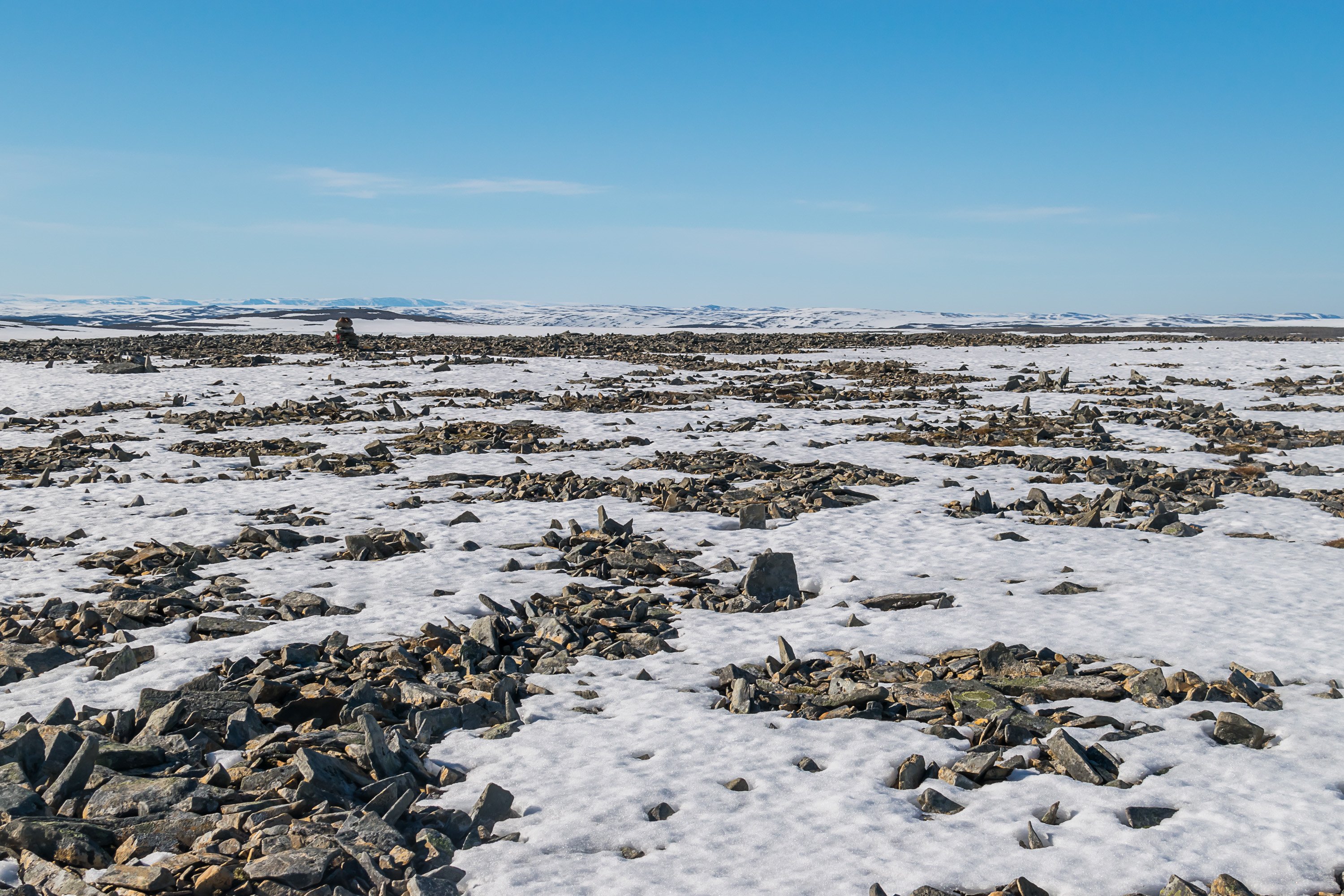
About a half of the trail goes through rolling tundra plateaus, 200-300 m above sea level. Sea is occasionally visible in the distance, in particular Gjesværstappan isles to the west, near the village of Gjesvær, a nature reserve with massive bird colonies.
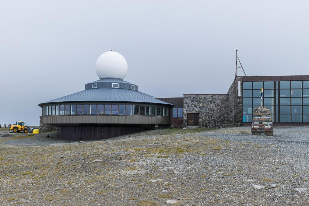
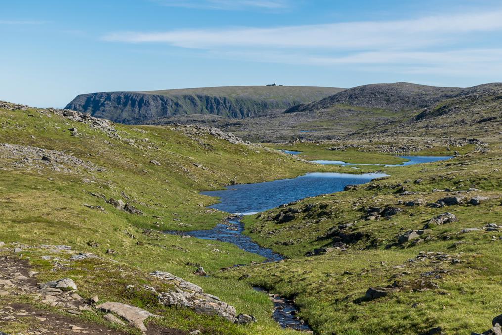
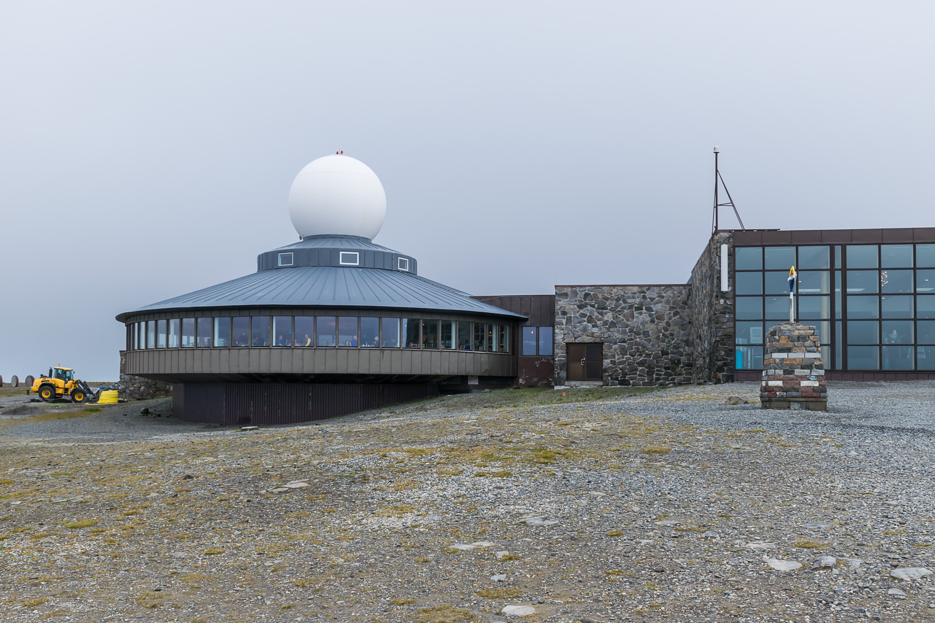
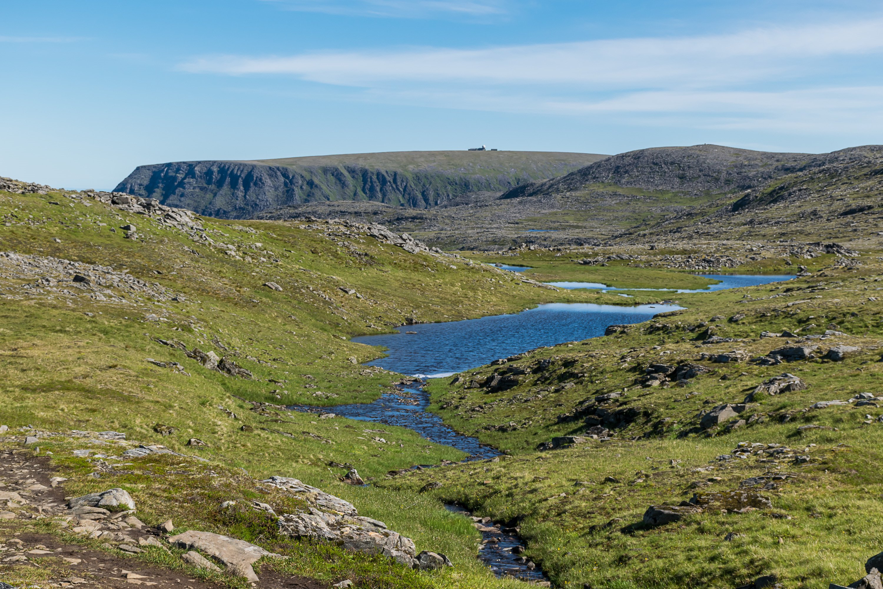
Nordkapp plateau is visible in the east, looking rather flat compared to terrain on the trail. A military (radar?) installation (visible from E69 too) there can be easily confused for the Nordkapp visitor center, as it also has a ball-shaped dome on the roof.
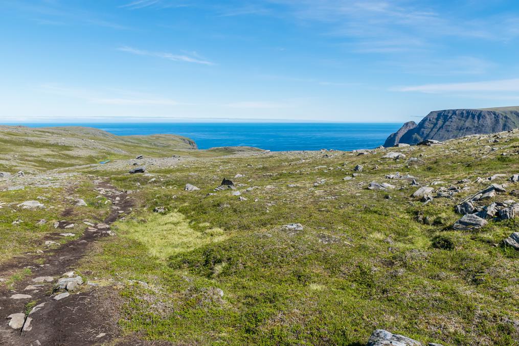
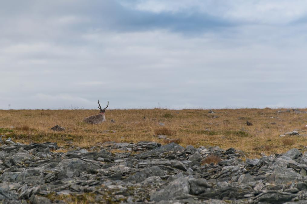
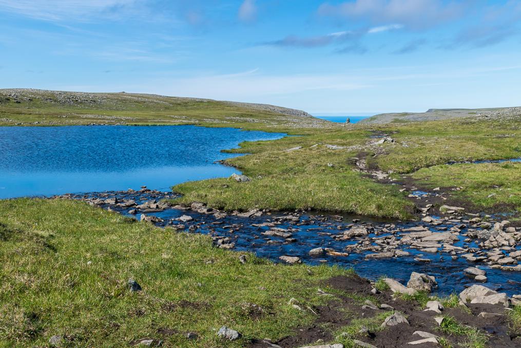
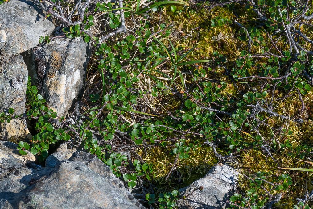
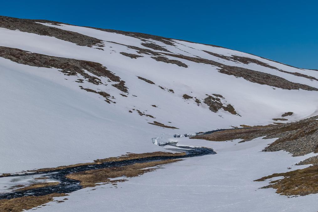
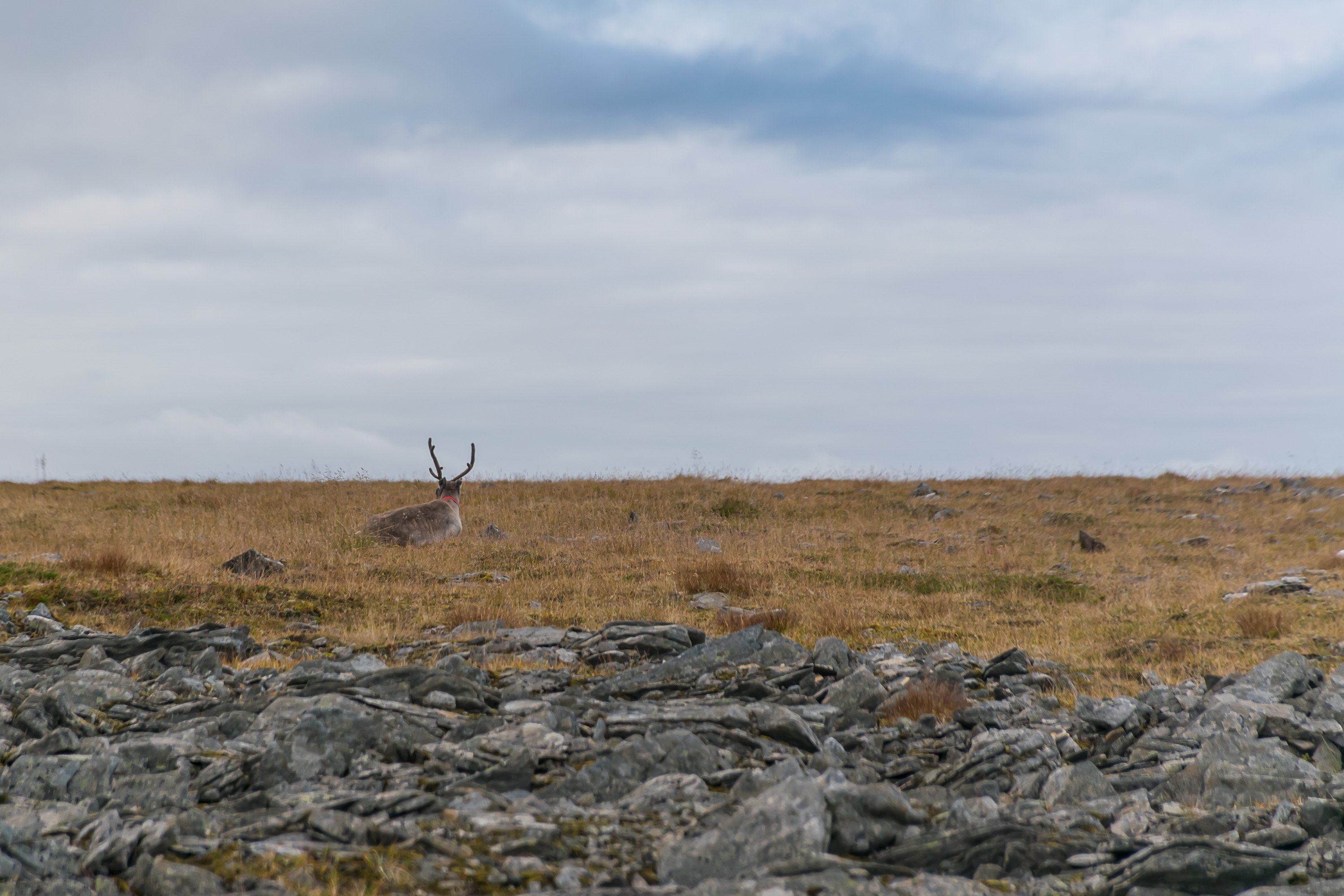
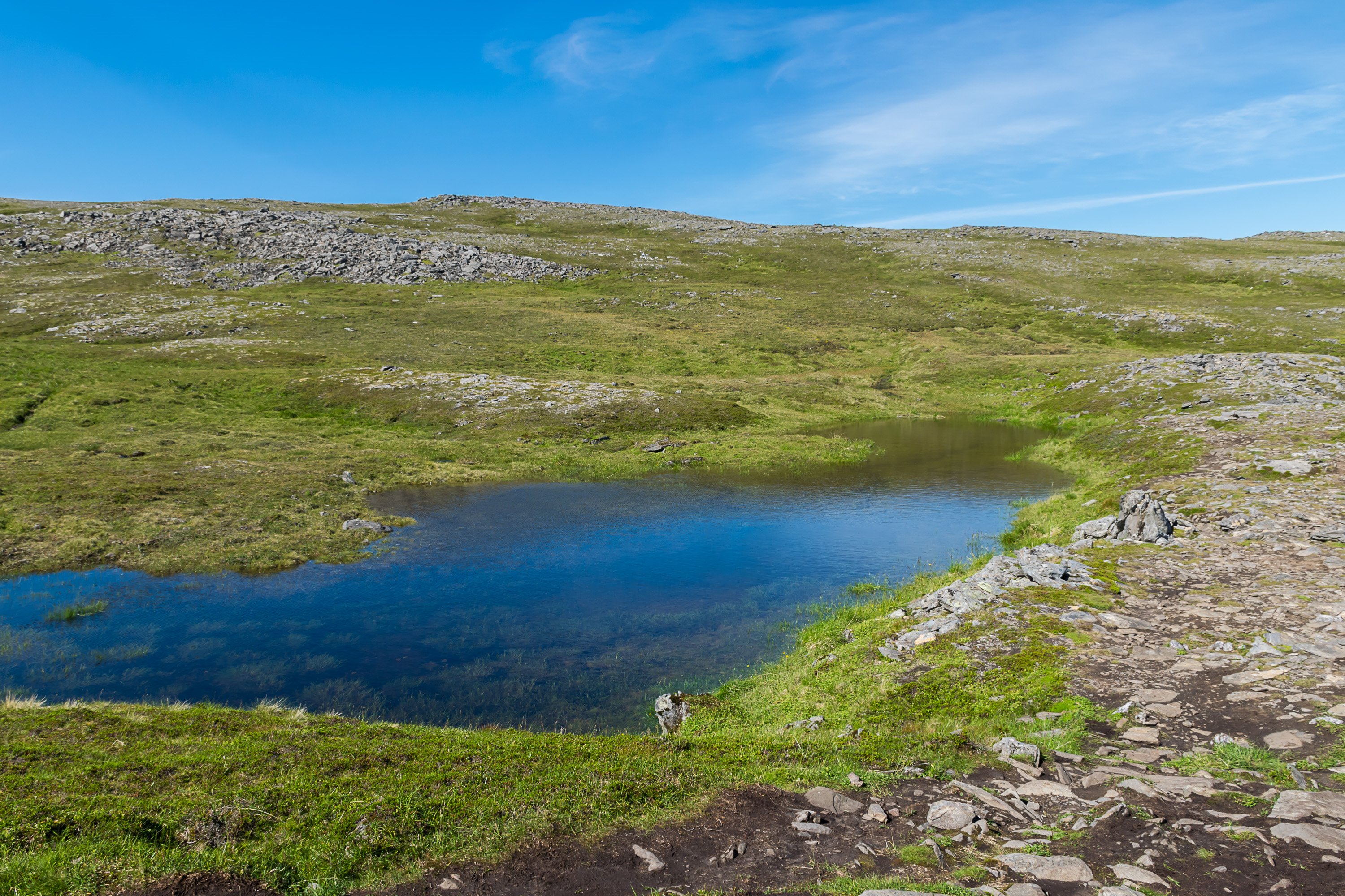
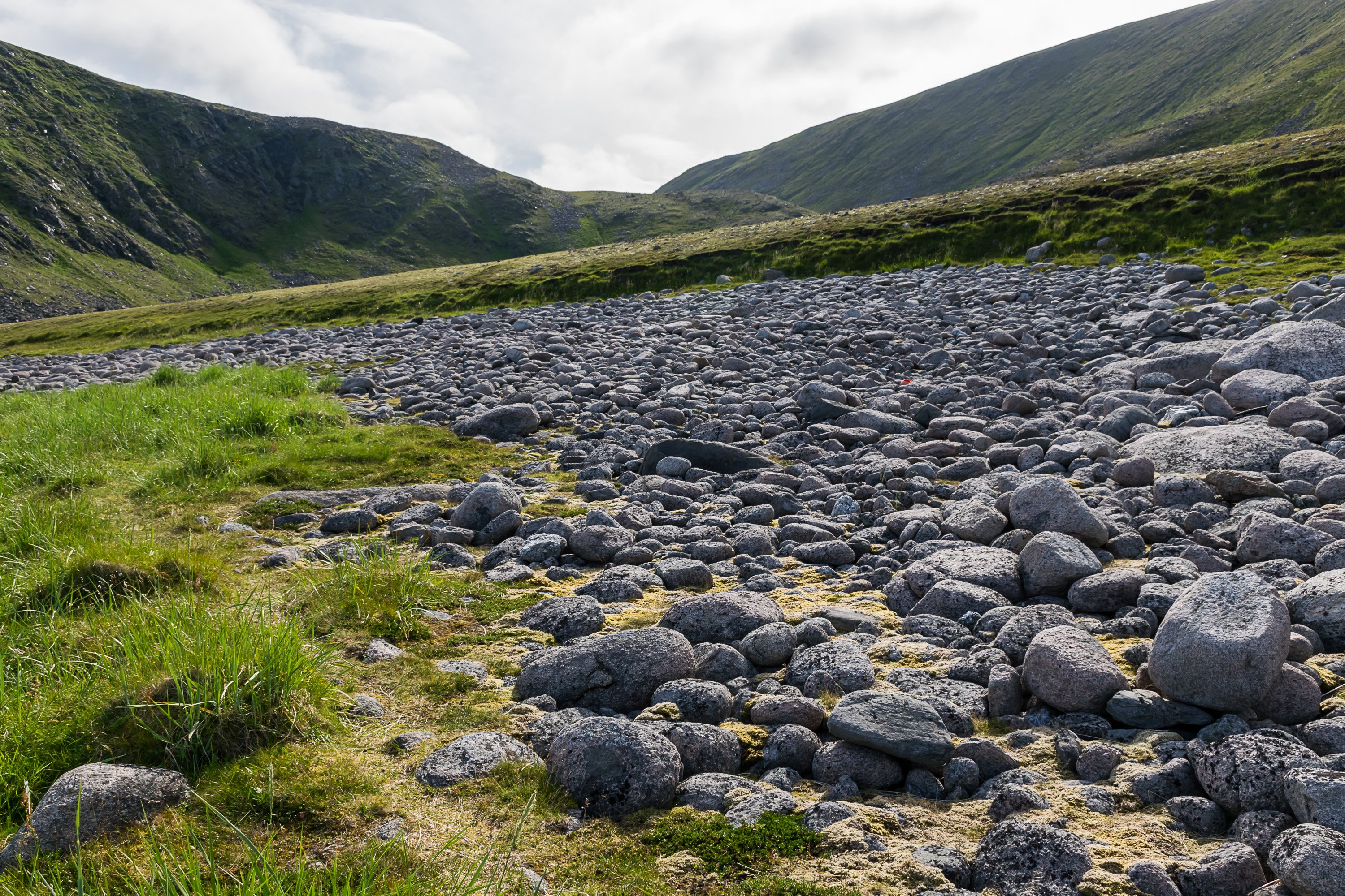
Like in other northernmost parts of Norway, the landscape is highly barren. This is true Arctic tundra, treeless even at the sea level, except for dwarf birch under one's feet.


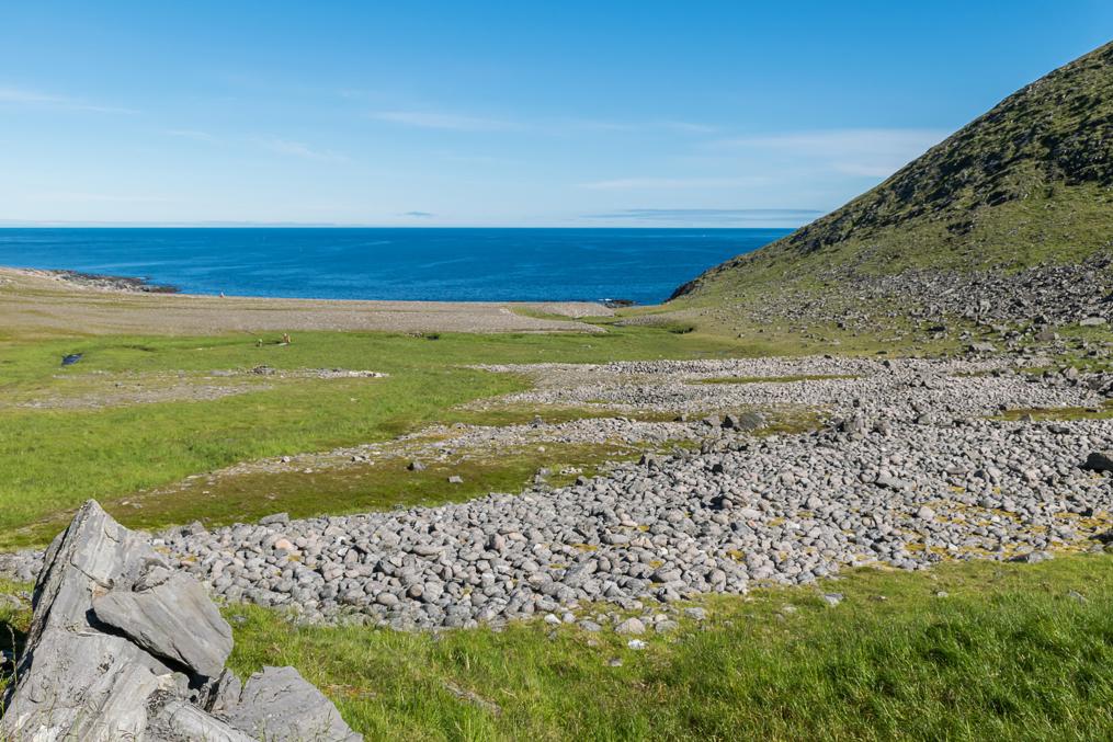
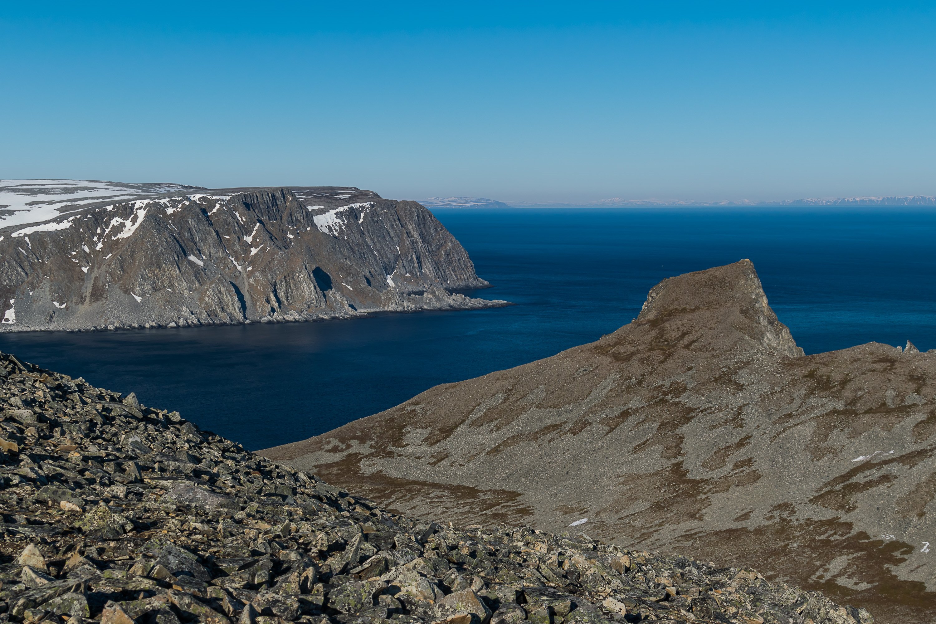
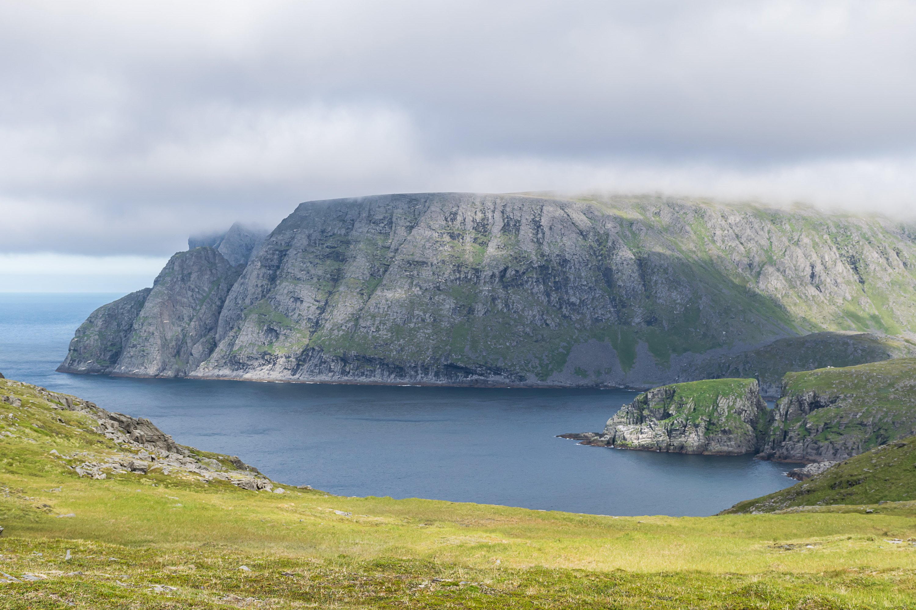
Eventually the trail starts descending into a small valley, and soon the views of Nordkapp cliffs open in the east in their full glory.


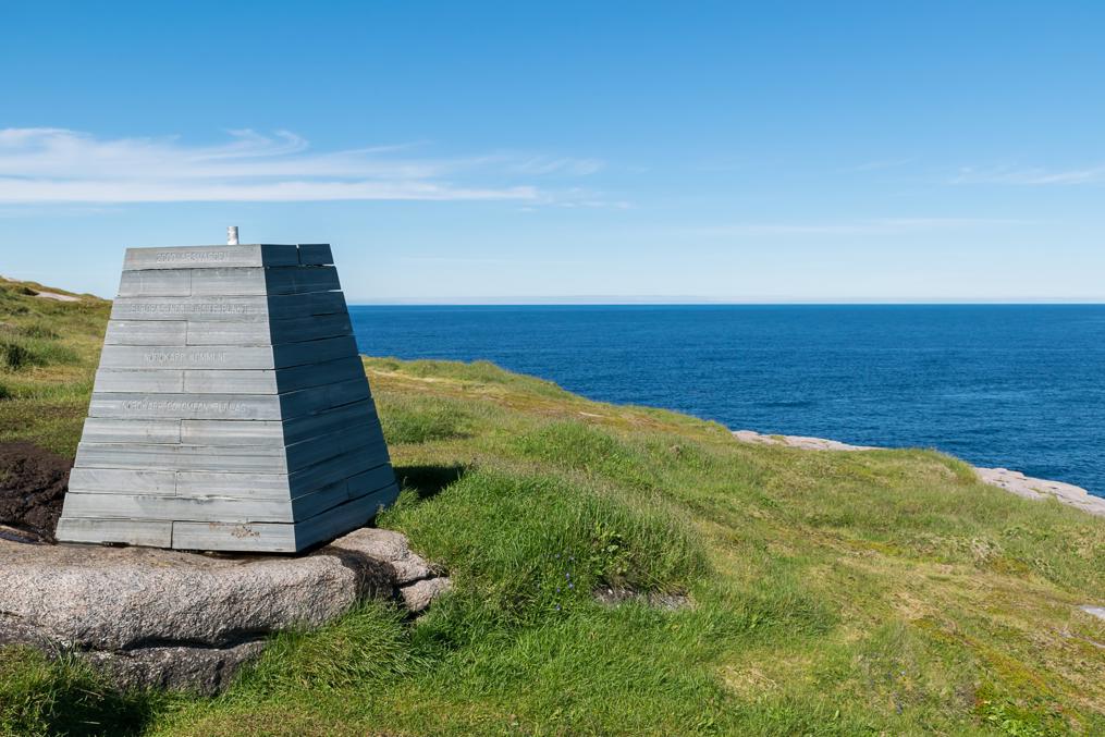
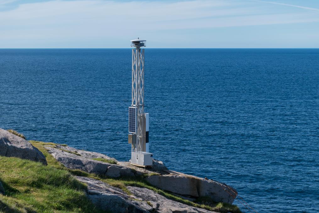
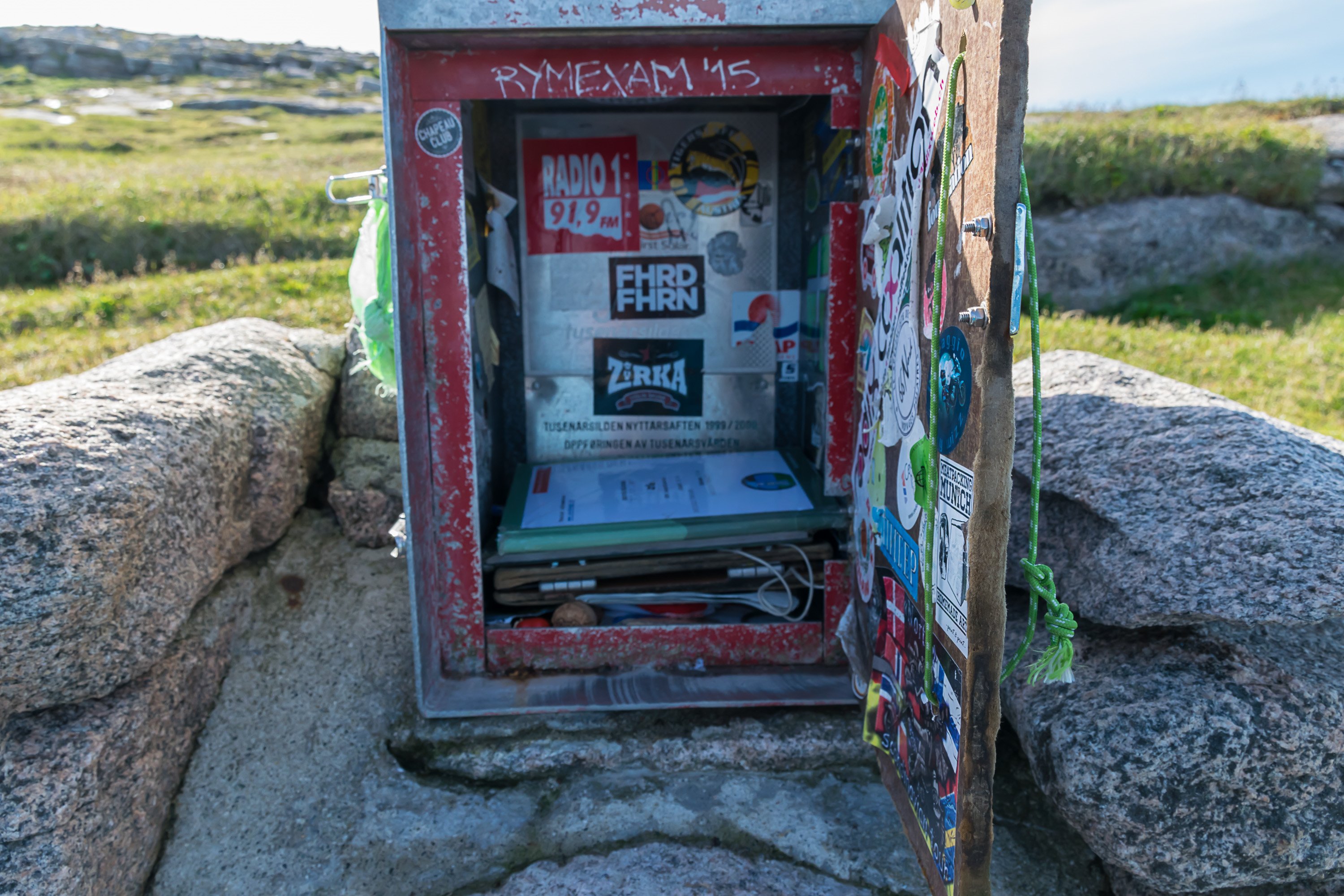
There is a small automated lighthouse, a box with guestbooks and a large wooden "northernmost point of Europe" sign. Now, is this really the northernmost point?

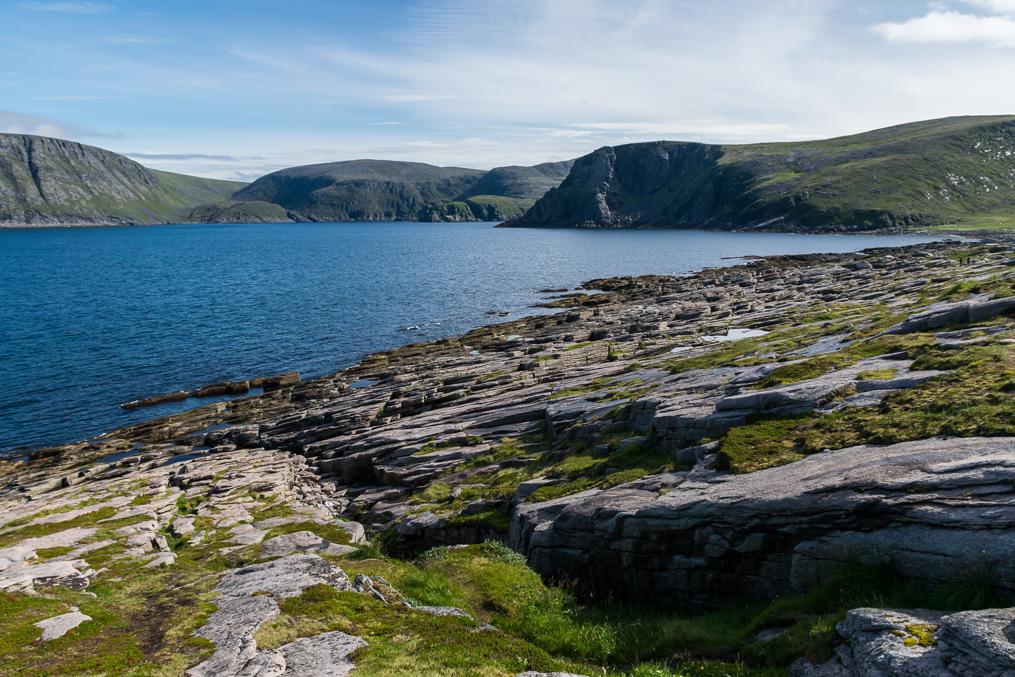
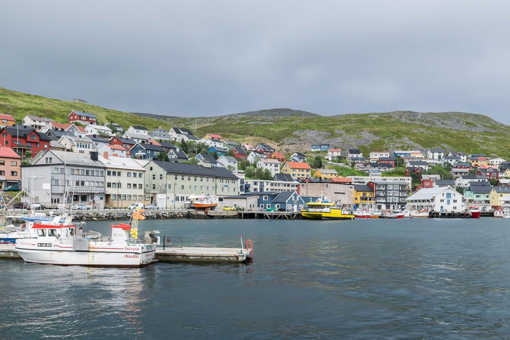
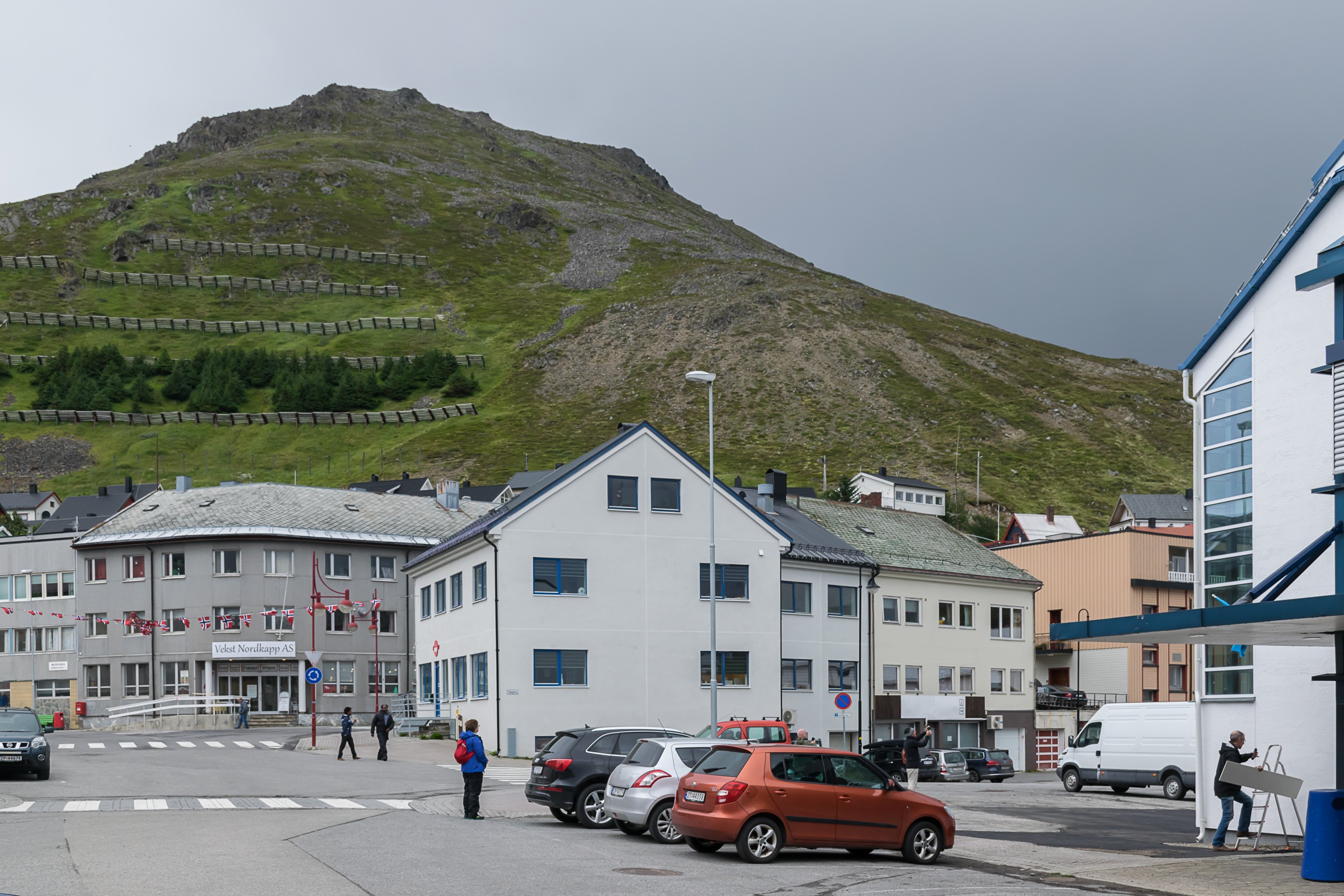
Nordkapp and Knivskjellodden are both located on Magerøya, a large island off the coast of Porsanger peninsula, connected to the mainland with a tunnel. The island has a population of a few thousand, one town (Honningsvåg) and a few villages.

Nordkapp and Knivskjellodden may thus be at best considered to be the northernmost points of "contiguous" Europe connected by road. However if we do consider isolated islands, there are Arctic archipelagoes far farther to the north (Svalbard, possibly Franz Josef Land in Russia if we consider that to be Europe).
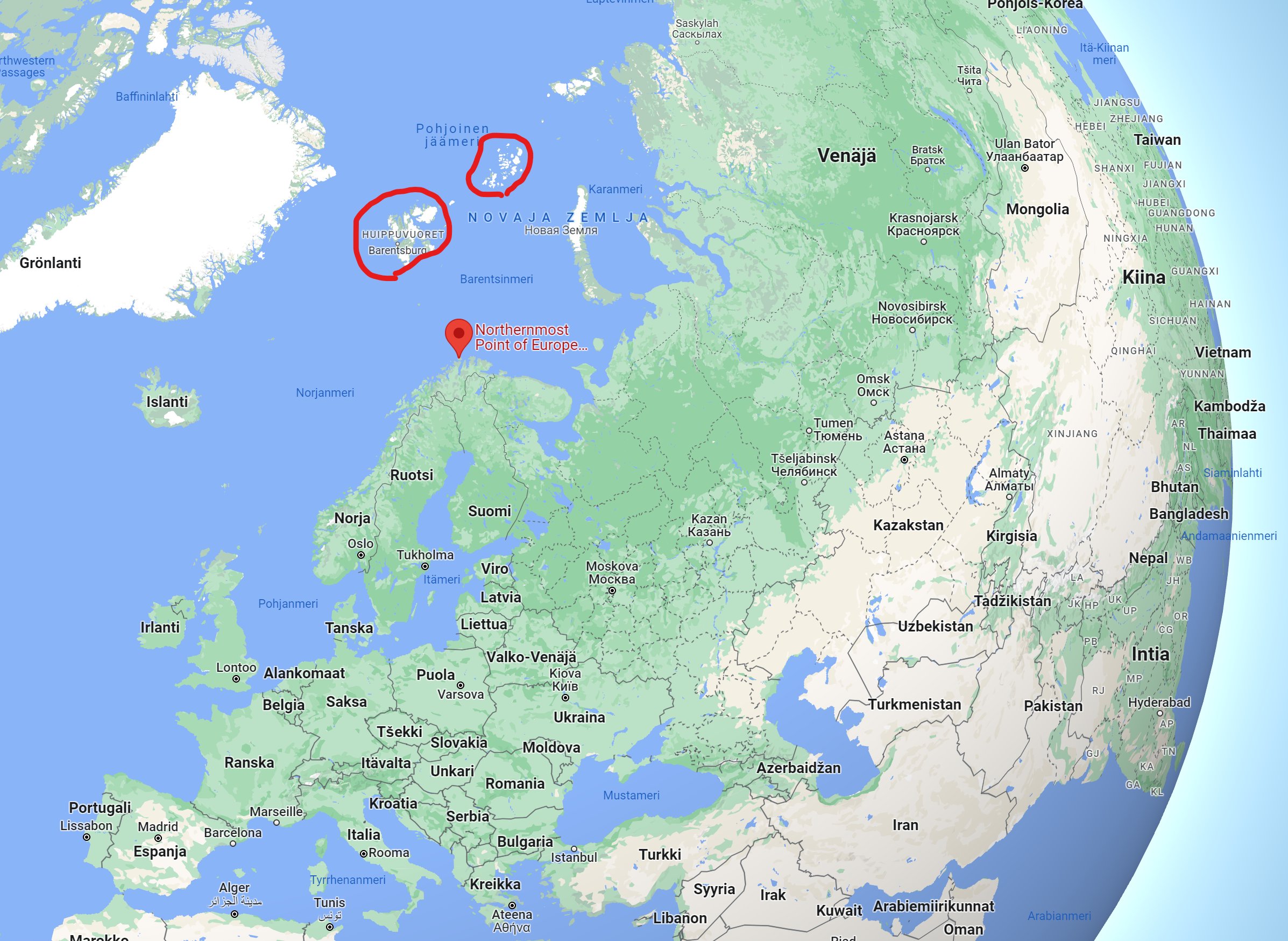
And if we consider only mainland points, then the northernmost point would be Nordkinn (Kinnarodden) 70 km to the east as crow flies and over 400 km by road between trailheads. It is possible to visit it too, but that is a much harsher hike, 24 km in one direction, on a barely marked trail through vast boulder fields. I did it once, off-season even (in early June with lots of snow). Would not recommend at least in that season, was genuinely dangerous (crossing streams in particular) and stupid of me to try.
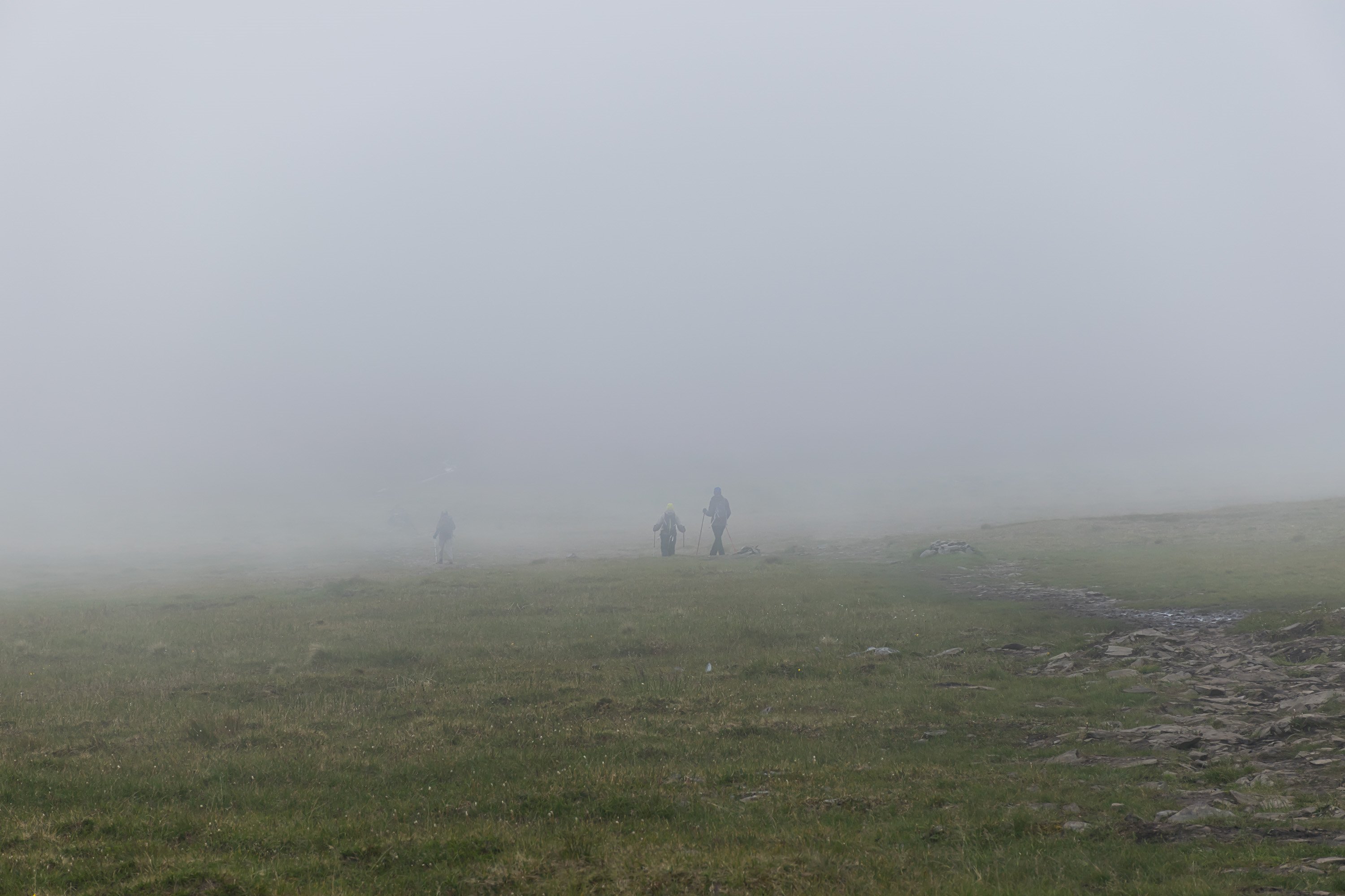
Knivskjellodden pictures are from mid-July 2016 and were taken in about the best weather possible, but even in mid-July the weather here can be unpredictable, as is everywhere in North Norway; I was returning already in very thick fog.


 Alkuperäinen Twitter-ketju: