
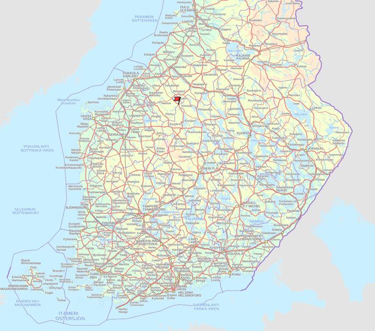
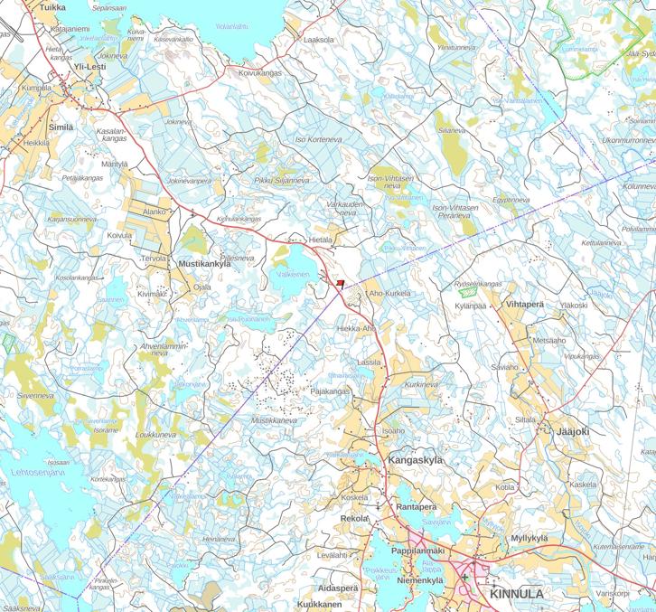
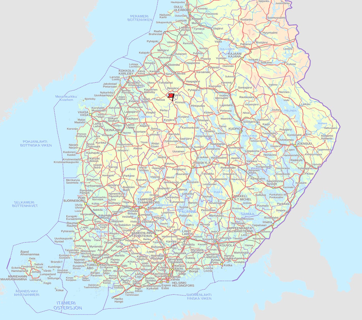
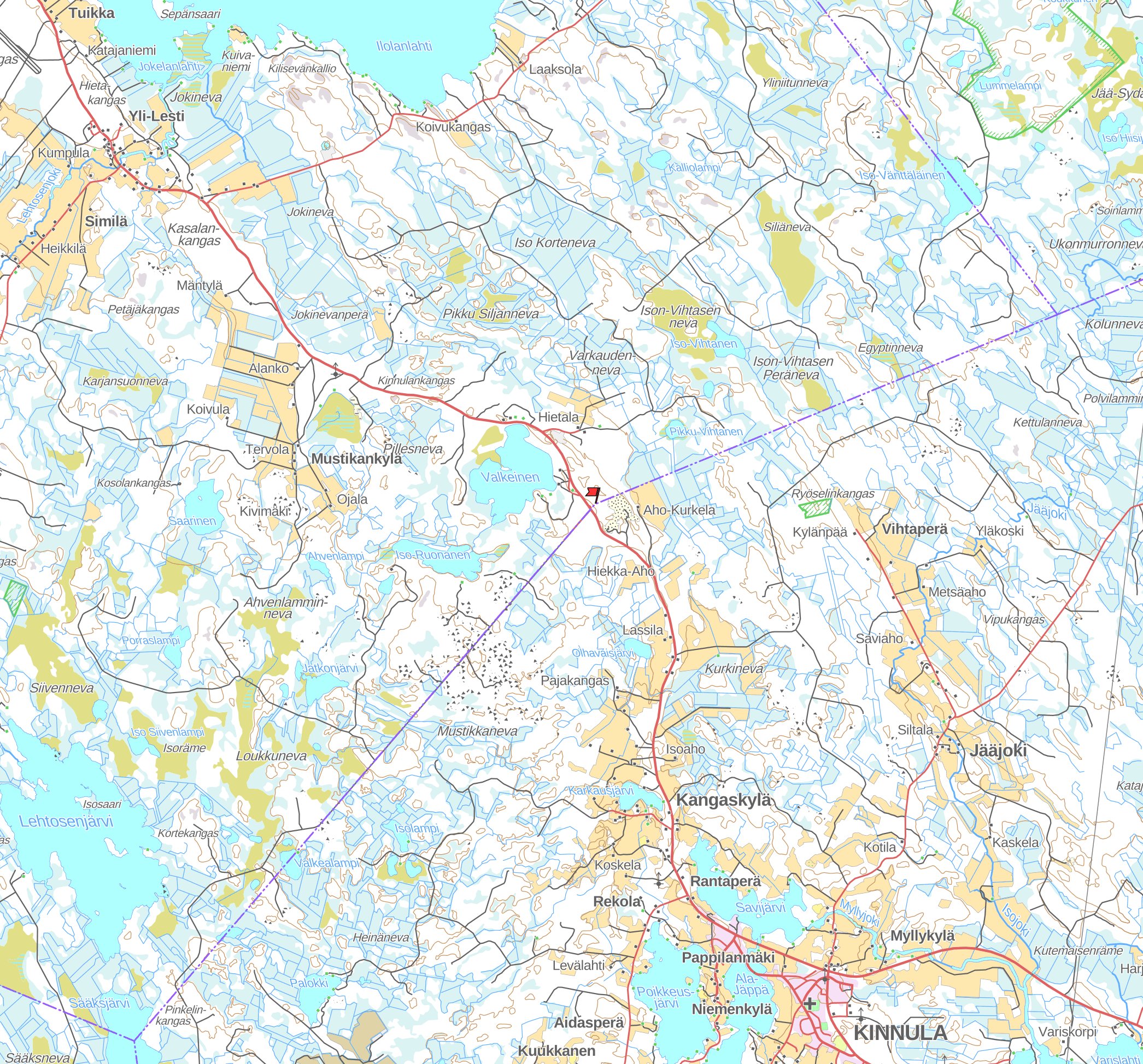
This is a border stone (named literally Rajakivi, Finn. Border Stone) at the border of Central Ostrobothnia (Keski-Pohjanmaa) and Central Finland (Keski-Suomi) regions, Lestijärvi and Kinnula municipalities, by Road 58. It is is a great, though far from unique example of an old Finnish parish border stone.
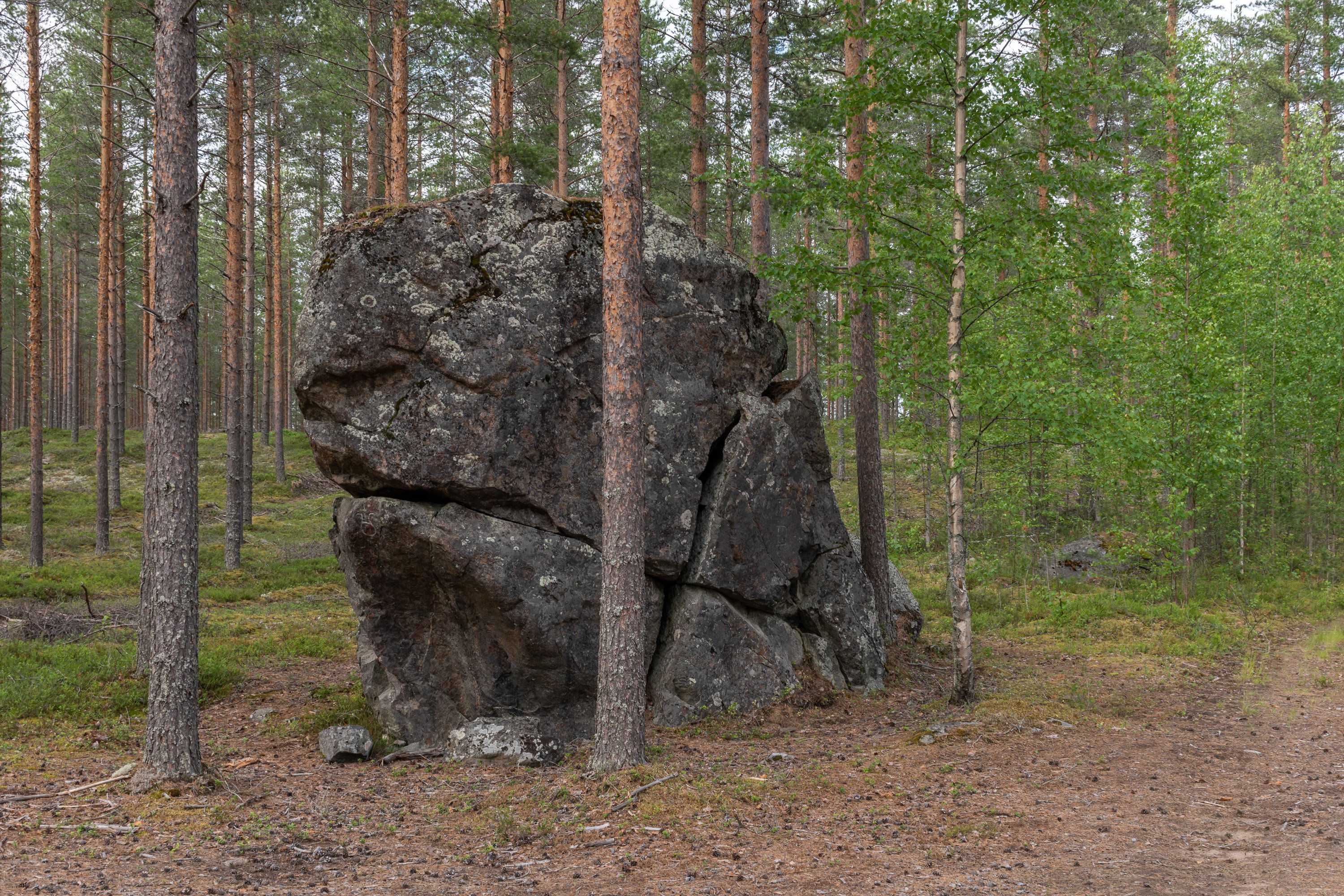
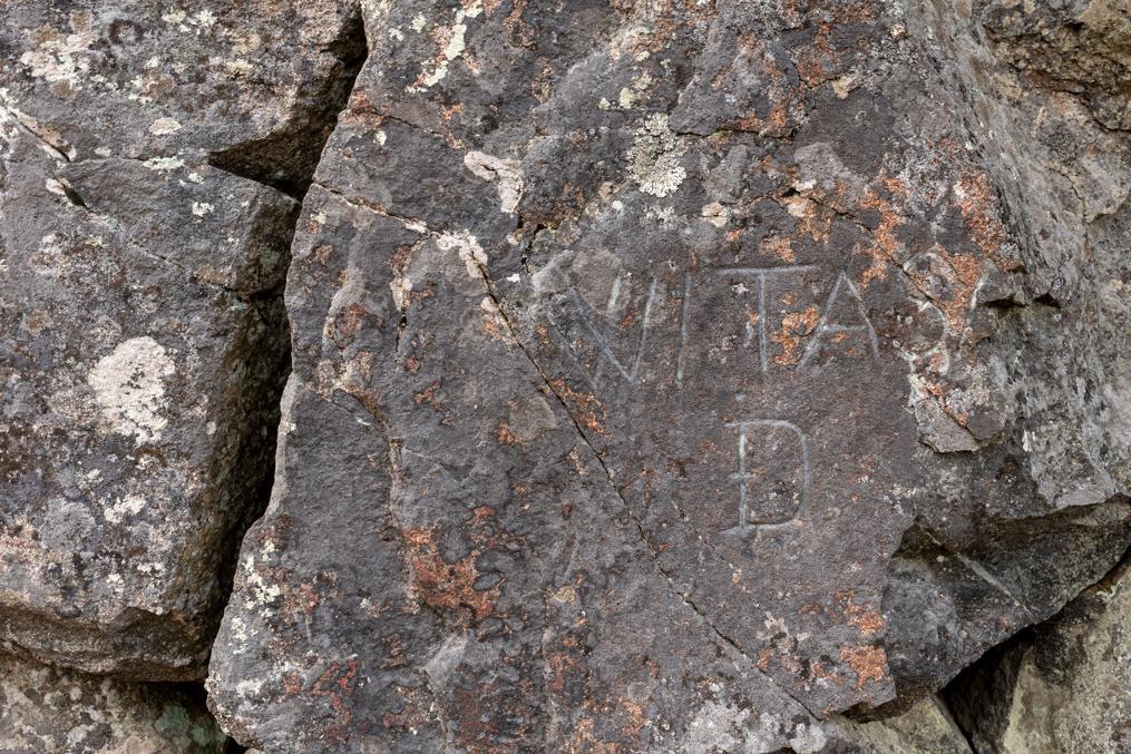
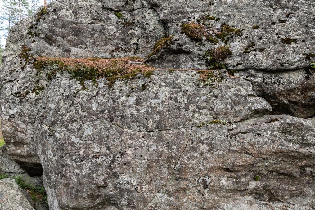
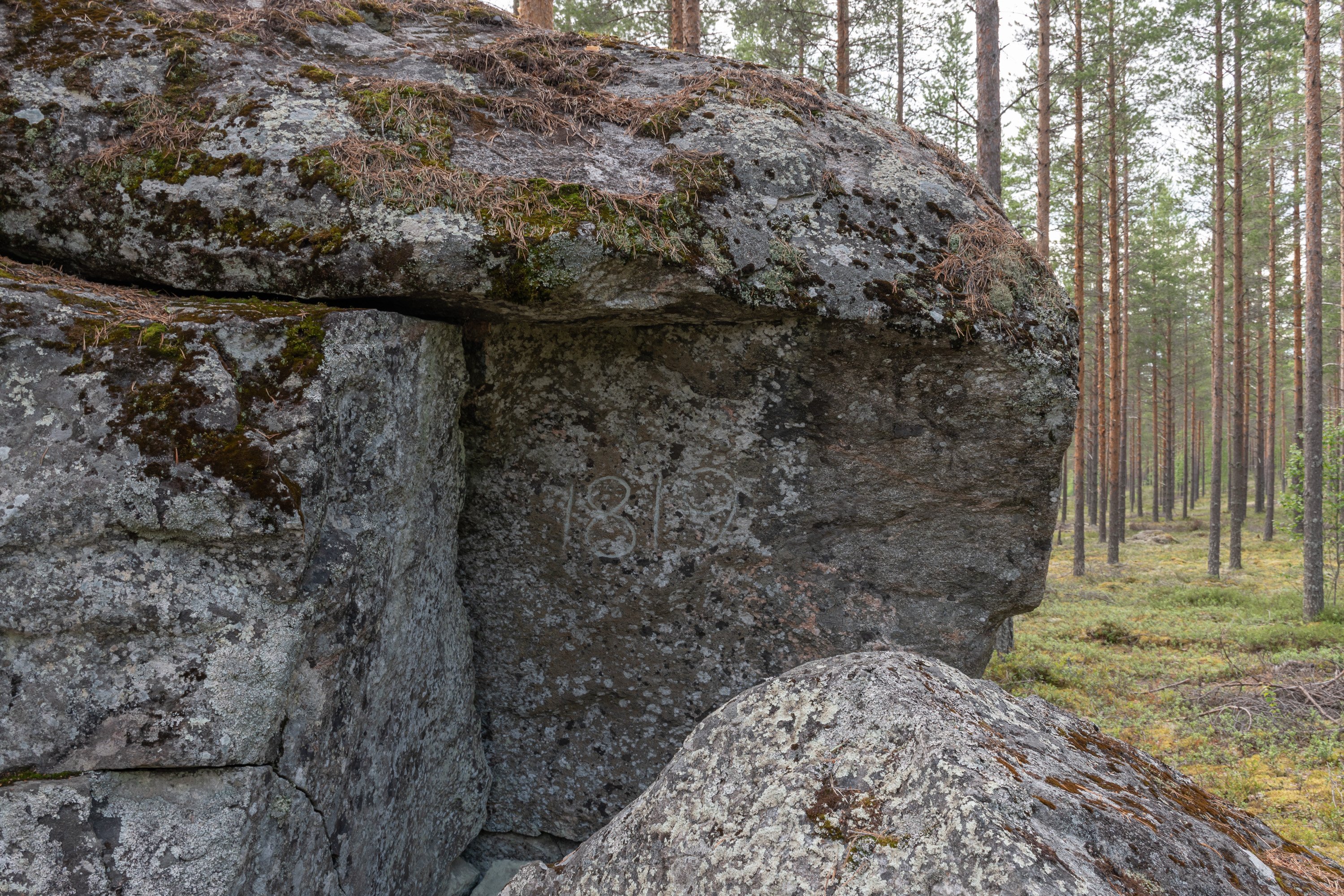
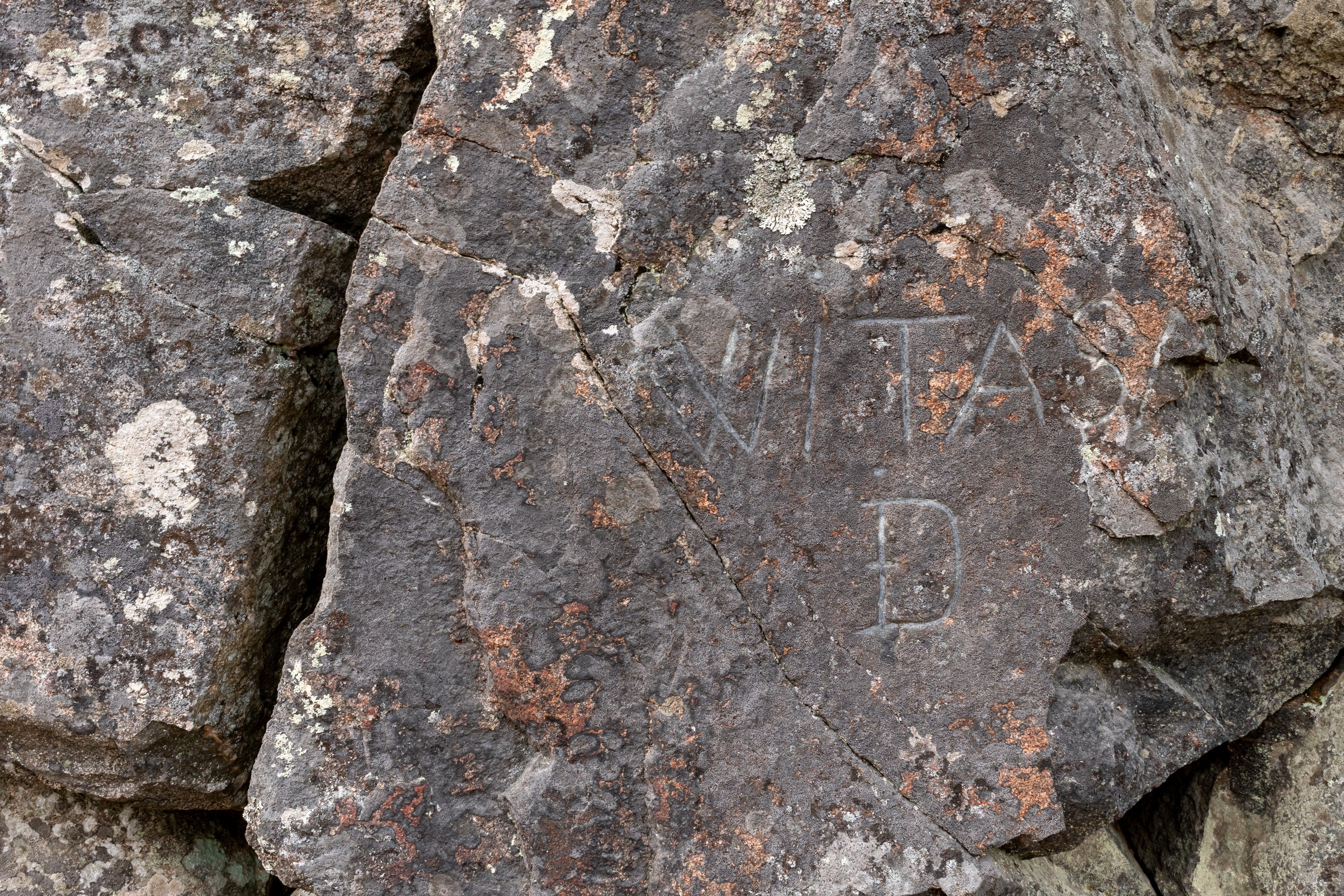
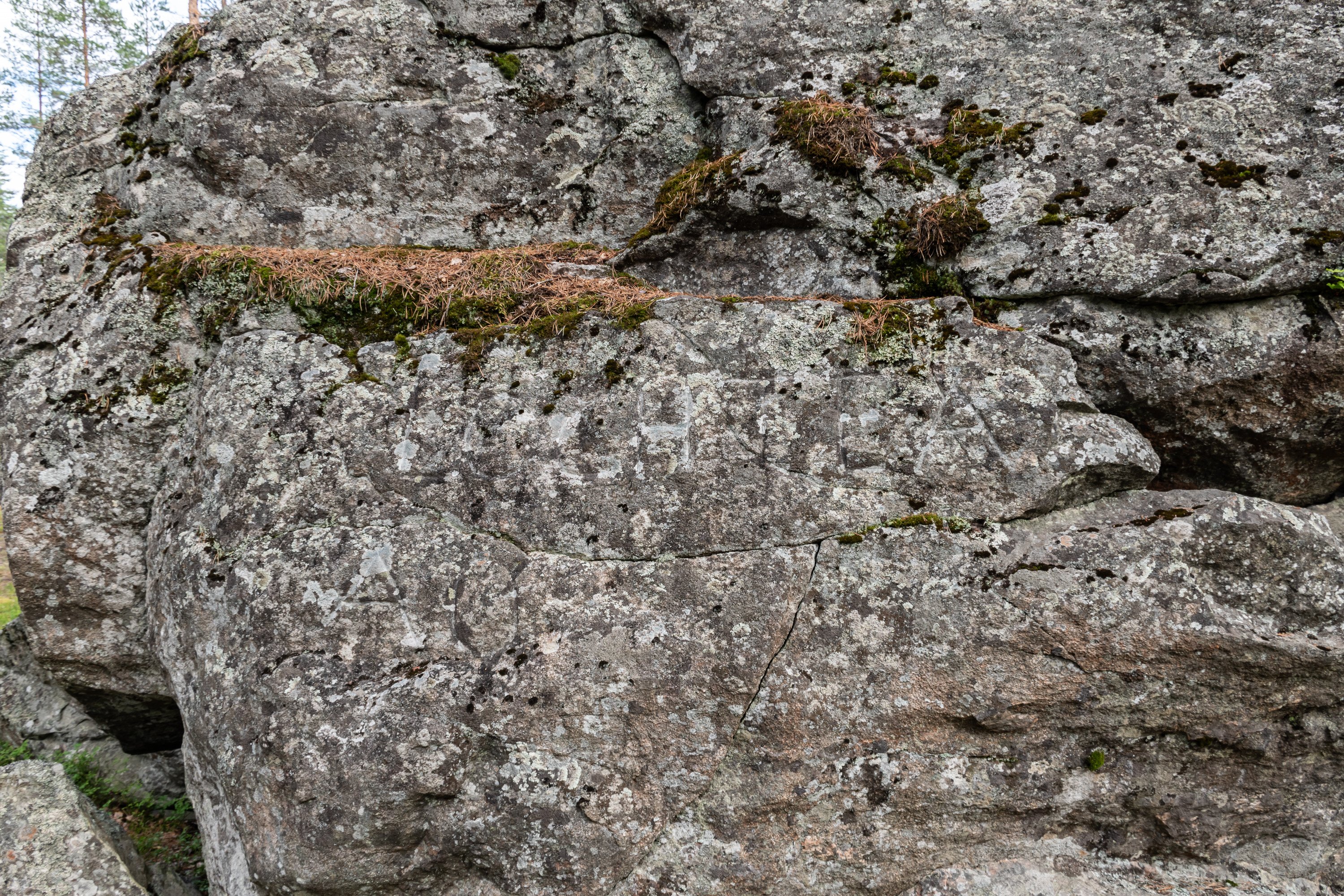
In Finland, which is strewn with boulders almost in its entirety, it had been quite traditional to use boulders as markings for country, county, parish and individual household boundaries. Borders often followed conveniently located boulders, rather than the other way around. Many still standing border stones still mark, for example, the Täyssinä (1595) and Stolbova (1617) treaty borders between Sweden and Russia. These have only historical significance now. Parish border stones, on the other hand, typically still match municipality borders. Here we have a large boulder with a clearly visible crown sign, the year 1819, and names Witasa and poorly readable Lochteå carved into it on opposite sides. Witasa and Lochteå refer to Viitasaari and Lohtaja (Swed.: Lochteå) parishes.


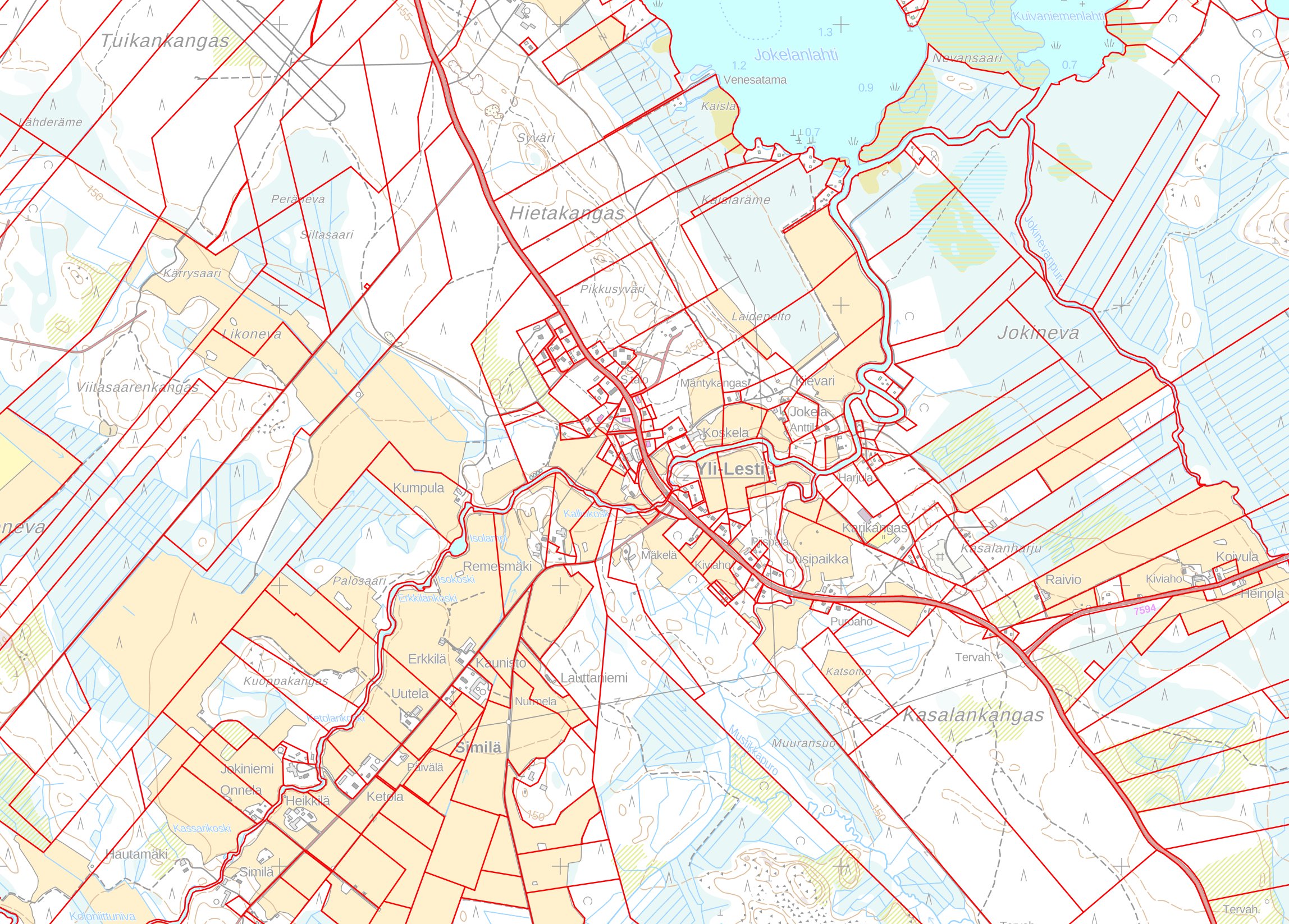
To this day these are thinly populated lands far from even smaller cities (Suomenselkä watershed), and in 1819 parishes here were geographically quite large. The distance between Lohtaja and Viitasaari churches is almost 160 km. Since then they subdivided many times over, and now the bordering municipalities (former parishes) are Lestijärvi and Kinnula.
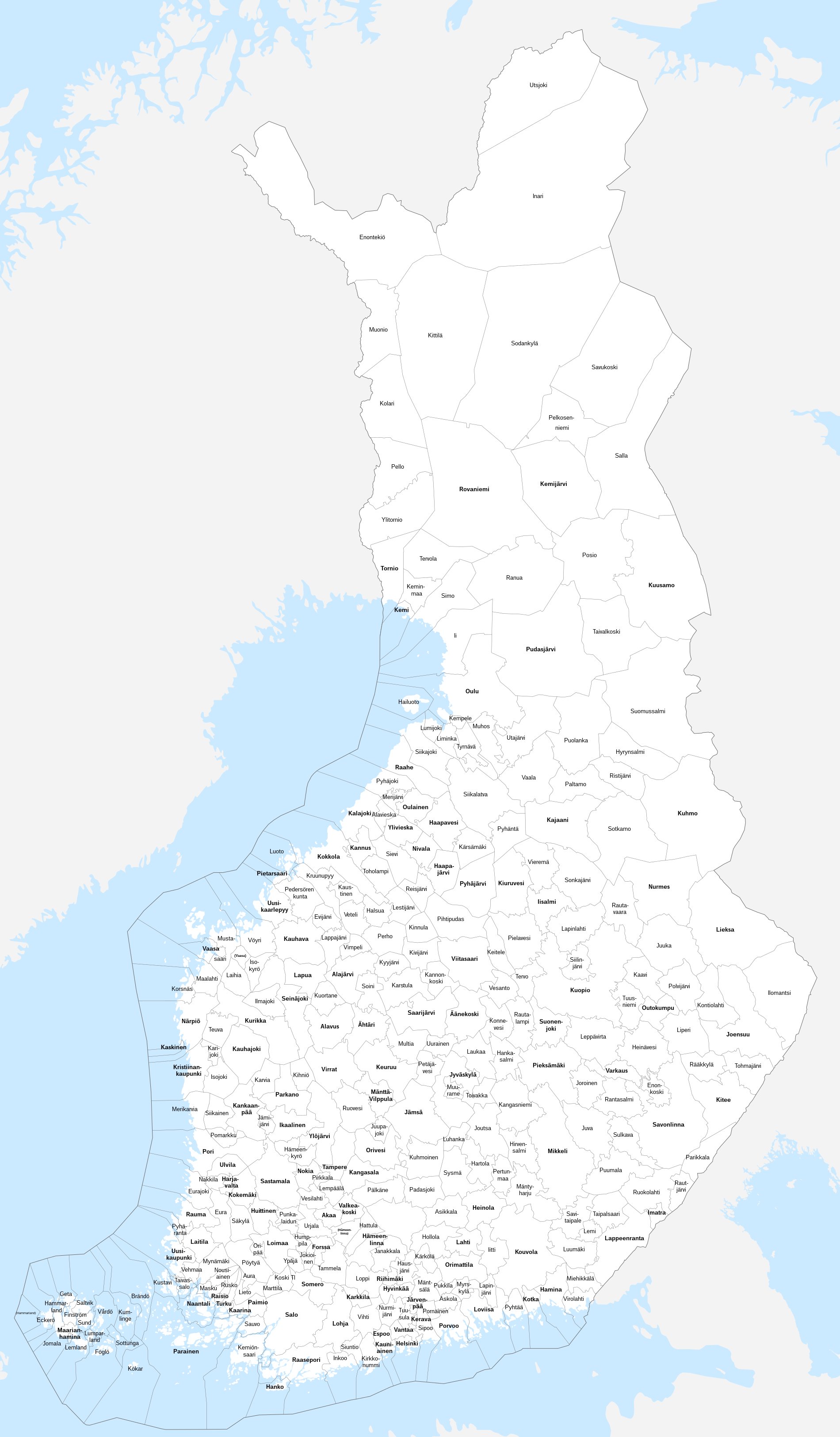
The total number of municipalities in Finland was at its highest in 1941, at 601. Some 50 were lost in the war, and from 1960s onwards small municipalities have started to merge back. Even Lohtaja, once stretching from the Bothnian Bay to this stone, no longer exists, merged to the city of Kokkola. As of 2023 there are 309 municipalities remaining.
According to a local legend when this border stone was established, people from Viitasaari/Kinnula tried to move it to claim more land for themselves. They set fire under it so that it would shatter and would be easy to move, but only succeeded in cracking it.
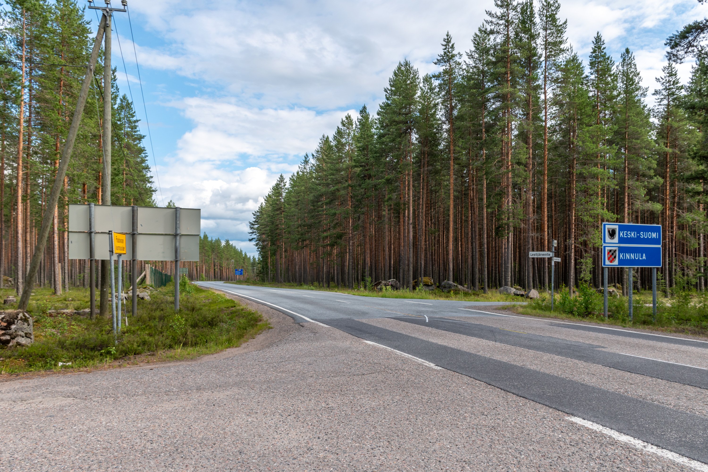
The modern municipality border signs can be seen now on the road just 100 meters away. There is now also a regional (maakunta) border in this place. There wasn't one when the border stone was established; the concept of Central Finland (Keski-Suomi) as its own region emerged much later.
These days border stones obviously don't have much practical significance, as borders are precisely determined with GPS and recorded in databases. But no maps are perfect, and in particular old household boundary markings still can be relevant in cases of disputes with neighbors.
 Alkuperäinen Twitter-ketju:
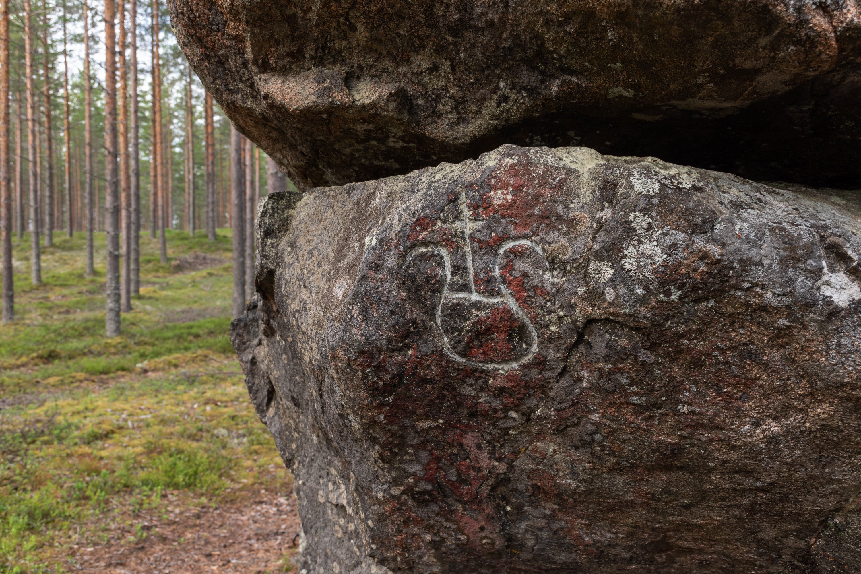