It really took me quite some time to get to these trip reports again, didn't it? Well, uh, better late than never :)
St. Petersburg — Petrozavodsk — Murmansk — Norwegian border highway was previously numbered M-18, but in the confusing renumbering of 2010 it was redesignated as R-21 (Р-21). Nonetheless, its popular name didn't change: it is still the Kola Route (трасса "Кола", Trassa Kola), after the Kola Peninsula of course. At least in St. Petersburg it is also known as Murmansk Highway (Мурманское шоссе, Murmanskoye Shosse), or informally Murmanka, after its most significant destination.
The official length of Kola Route, from St. Petersburg to Norwegian border near Kirkenes, is 1592 km. Although our primary destination was Northern Norway, it was of course hardly possible to drive all those kilometers without an overnight stay. Thus we stopped in both major cities along the way, Petrozavodsk and Murmansk. I'll tell more about both of them in the following posts, and this one is about the Kola Route itself and the minor cities along it.
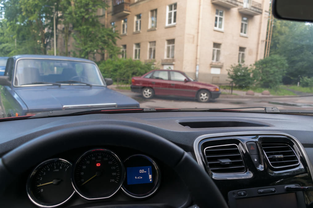
1. Ready to go! 0.0 km on the trip meter! I don't remember the time of the day, about 7:00 most likely. St. Petersburg — Petrozavodsk leg was only about 420 km, but Murmansk Highway outbound from St. Petersburg gets very crowded in summer Saturday mornings, due to all the people driving to their dachas. So I fully expected to spend several hours in traffic jams, barely moving.
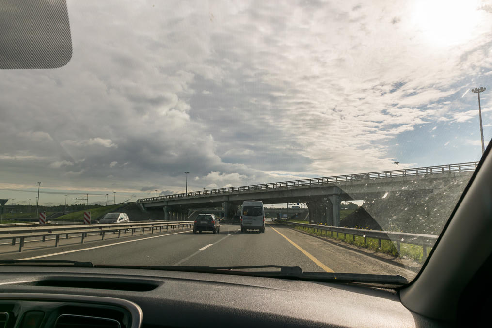
2. Leaving St. Petersburg. Surprisingly no traffic jams; apparently we left early enough in the morning, after all. Murmansk Highway is a dual carriageway road, with two lanes in each direction, which is rather uncommon in Russia; not of the motorway quality though. The 2+2 section is about 40 km long, crossing Neva River via Ladoga Bridge (the only road bridge over Neva outside of St. Petersburg), and ending after Sinyavino village. Sinyavino is known as the site of incredibly bloody battles in the World War II. In case you didn't know, St. Petersburg, known as Leningrad then, was completely encircled and besieged by Nazi Germany (and Finland from the north), the only link to the rest of the Soviet Union being Ladoga Lake stormy waters (and ice road in the winter). The siege, the bloodiest one in the modern history by far, lasted for 2 years and 4 months, and over a million civilians died, most of them from hunger. Sinyavino was where the siege ring was the thinnest, and thus most of the Soviet counterattacks came here, but until 1943 all of these were fruitless, with great loss of life as well. Leningrad siege in general is one of the very few history subjects which actually can bring out tears in me. Well... anyway this isn't Sinyavino on the picture, this is just the very beginning of the Murmansk Highway, at the interchange with St. Petersburg Ring Motorway.
3. After Sinyavino and at least until the border with Russian Karelia, Murmansk Highway (the farther you go from St. Petersburg, the more appropriate "Kola Route" name becomes) looks extremely boring. It crosses Volkhov River (Волхов); then the road to Vologda and in general to the east branches off, and most of traffic actually goes there; then it passes through Svirstroi (Свирьстрой, Russ. Svir Construction, after Soviet hydroelectric project on Svir River) and bypasses Lodeinoye Pole (Лодейное Поле, Russ. Longship Field, after Peter the Great era shipyard on the same Svir River). Both of these are ugly towns without any significant sights.
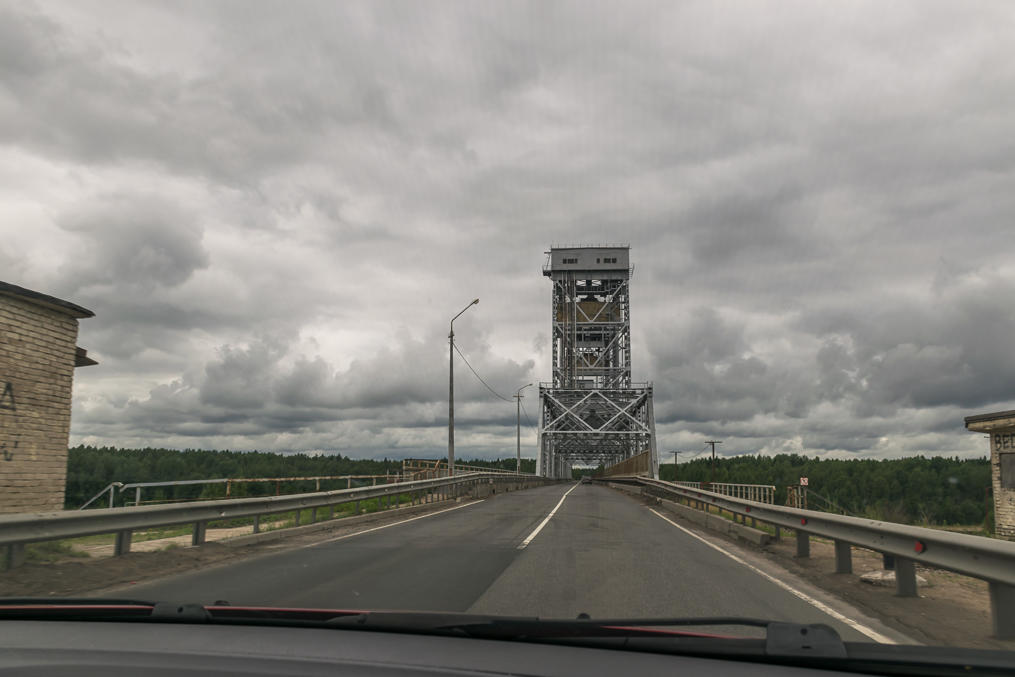
4. Crossing Svir River (Свирь) at Lodeinoye Pole. The bridge, carrying both the highway and the railway, is movable (although like the Ladoga Bridge it has a high enough clearance that it's very rarely raised in practice). Svir flows from Onega Lake into Ladoga Lake, and thus forms a part of the major waterway between the Gulf of Finland and Volga River.
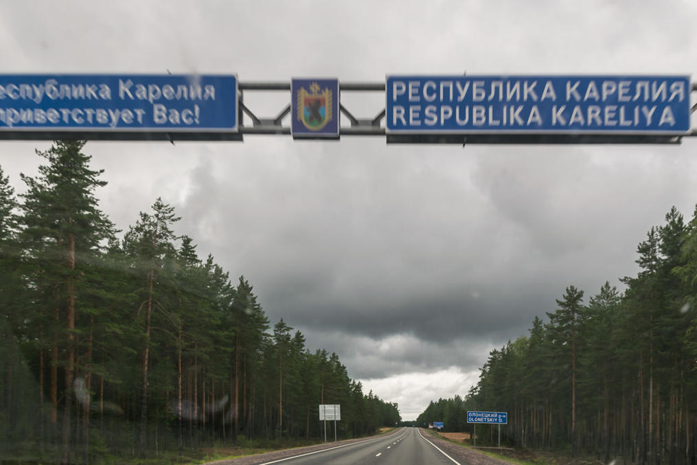
5. Crossing from Leningrad Oblast (Ленинградская область; St. Petersburg Region basically; it still uses the old Soviet-era name of Leningrad) into the Republic of Karelia (Республика Карелия, Russian Karelia, basically). Petrozavodsk is fairly close by now.
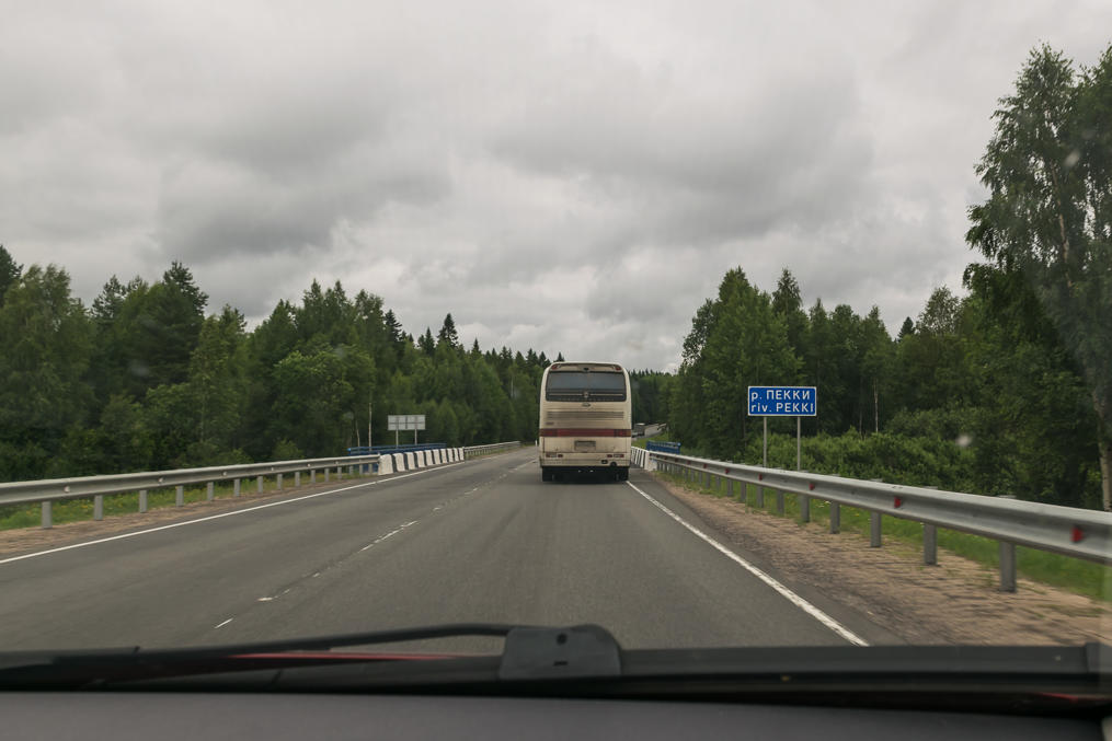
6. Nearly all Finnish/Karelian place names in Leningrad Oblast were replaced by bland-sounding Russian ones, mostly just invented on the spot, after the World War II. In the Republic of Karelia on the other hand these names were left as is. Or sometimes half-translated, like -järvi (Finn. lake) suffix being replaced by -ozero (-озеро, Russ. lake as well). This river name for example sounds a lot like "Pekka", a very common Finnish first name.
7. We reached Petrozavodsk quite early, by 14:00 or so already, and had a lot of time to spare on that day, which we used to explore the city. I'll cover Petrozavodsk in the next part. This is the second day, Petrozavodsk — Murmansk leg. At 930 km, this was the longest single non-stop leg of our trip, and of course we set out early and were driving for pretty much the entire day.
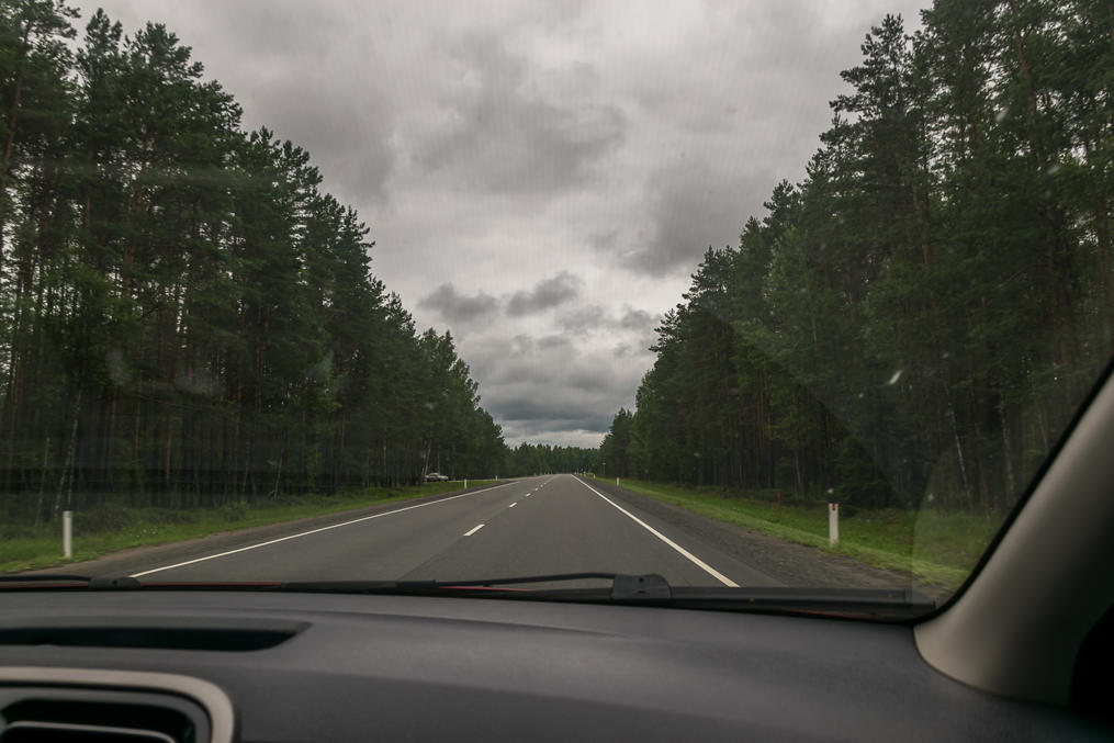
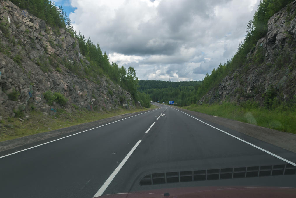
Kola Route in Karelia is prettier than in Leningrad Oblast but not by much. The woods look a bit wilder and there are some picturesque mires but that's it. There is just one short section through a nice rocky landscape, near the turnoff to Medvezhyegorsk (Медвежьегорск, Russ. Bear Mountain Town). The road itself is a fairly nice one, as far as Russian roads go. The road surface quality is consistently very good (there are some shorter poor sections but nothing truly bad), the road is quite straight, and the traffic is light. There are lots and lots of semi trucks but these are easy to overtake. The road doesn't pass through any major settlements. The only downside was that we twice drove through a huge torrential rain, beginning and ending very abruptly both times. Somehow we were stuck between two semis both times, and it was fairly scary driving through a wall of water with the visibility of like 20 m when you can't even really stop on the shoulder, because the semi behind you might end up not noticing you slowing down and squishing you between itself and the semi in front of you.
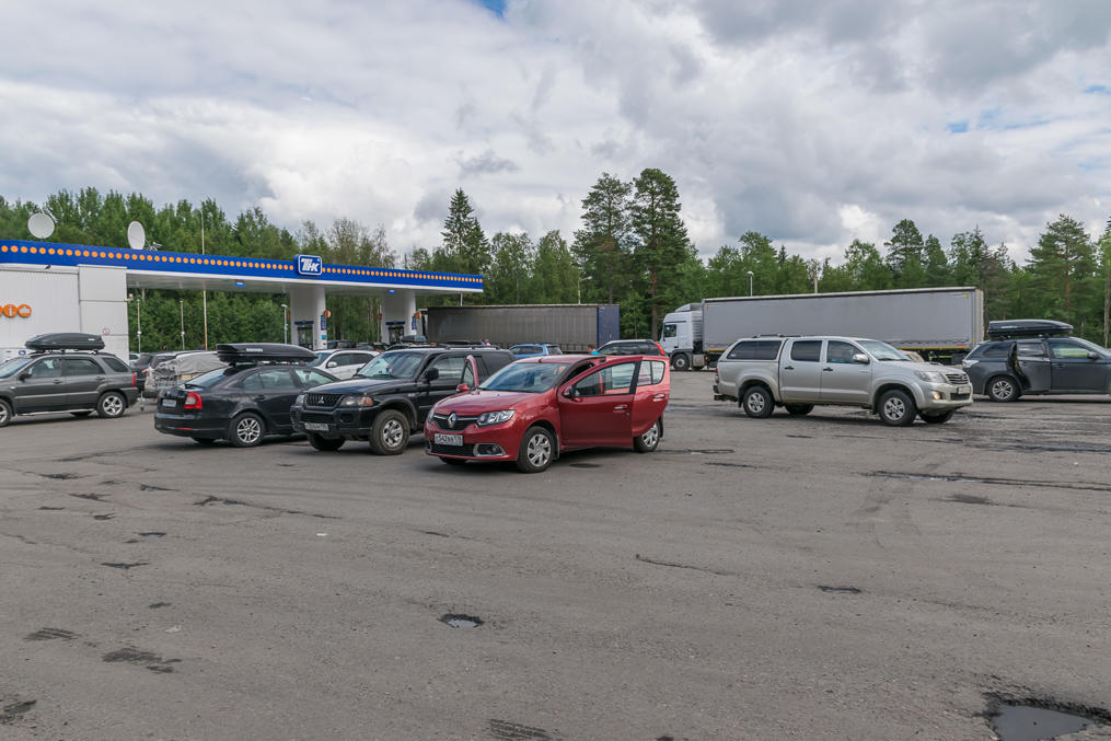
8. The Republic of Karelia is rather huge, and when driving along the Kola Route you basically cross it lengthwise. Between Medvezhyegorsk and the Murmansk Oblast border the road goes through a very sparsely populated area. There are some turnoffs to towns here and there but nearly all of them are a long way away from the Kola Route. This section has very few opportunities to refuel, so you should take that into account while planning your trip! The only good gas station along this leg is located in the village of Pushnoi (Пушной, Russ. Fur Village). The next reasonable option is a detour to Kem (Кемь) and back, which will add 35 km to your trip. Louhi (Лоухи), the only other village close to this leg of Kola Route, has a gas station in theory, but it looks very nasty and you probably wouldn't want to refuel anything other than a tractor there.
Gas stations and other services get much better in Murmansk Oblast, where nearly every town has a StatOil-branded gas station (StatOil is the state-run Norwegian oil company). Overall, we refueled in Pushnoi and then in Kandalaksha in Murmansk Oblast, and if you're planning this trip, you probably should do the same. Don't expect to get by with just one refueling; the part of Kola Route halfway between Petrozavodsk and Murmansk is the most remote one with no gas at all.
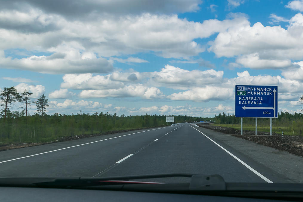
9. Turnoff to Kalevala. You might have heard that name; Kalevala is the name of the great Finnish national epic, composed by Elias Lönnrot in the early 19th century from folk tales. A significant fraction of these tales came from the village of Uhtua in Russian Karelia. The village was renamed into Kalevala in 1963 to commemorate this. This northern and very sparsely populated part of Russian Karelia is also known as White Karelia (Беломорская Карелия in Russian, Vienan Karjala in Finnish), as it is located close to the White Sea.
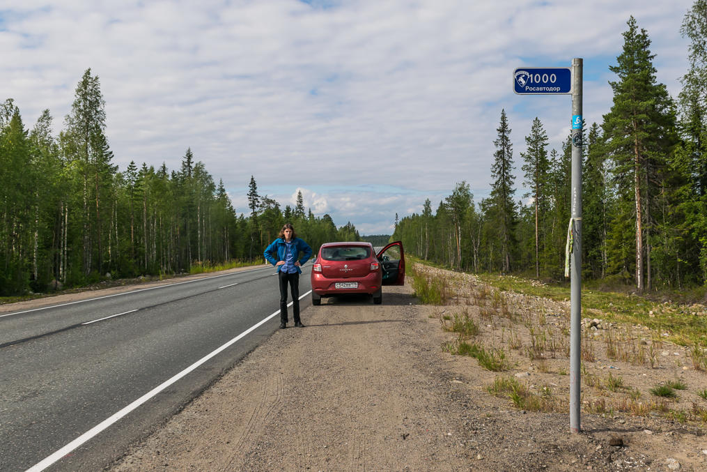
10. 1000 km from St. Petersburg!
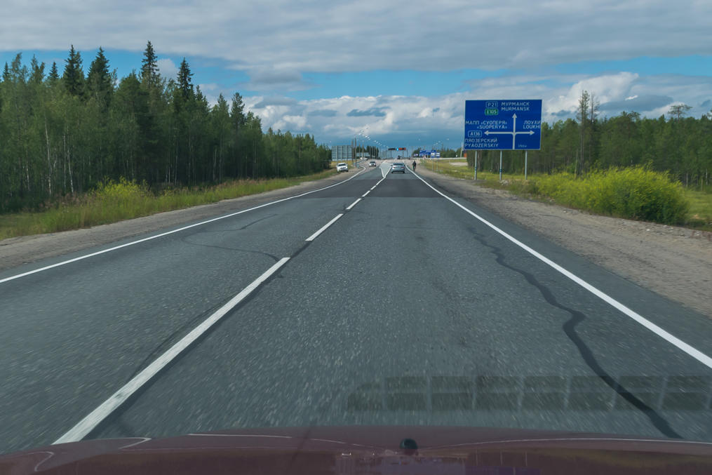
11. There are a few border crossings from Russian Karelia to Finland. All of them (except Värtsilä (Вяртсиля), the southernmost one) are quite remote and see very little use, other than by the inhabitants of nearby villages. This is the turnoff towards Suoperä (Суоперя) border crossing which goes to the town of Kuusamo on the Finnish side of the border. Mind you, there are some 200 km of driving on a very poor road before you reach the border. Most of the roads of Russian Karelia, other than the Kola Route and partially Sortavala Route, are in a deplorable state. Many of them are unpaved. Louhi, a nearby village, is named after an evil witch from Kalevala.
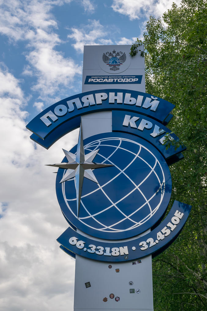
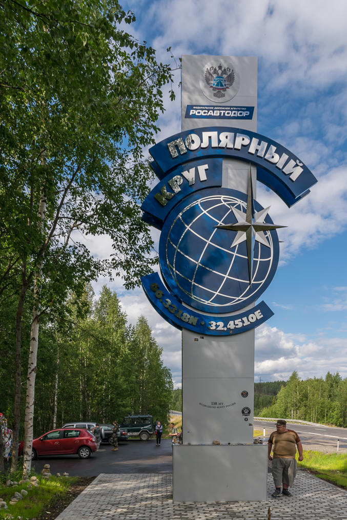
12. Shortly before the Murmansk Oblast border, you cross the Arctic Circle! The sign appears to have been installed fairly recently.
13. Kind of like the fat guy.
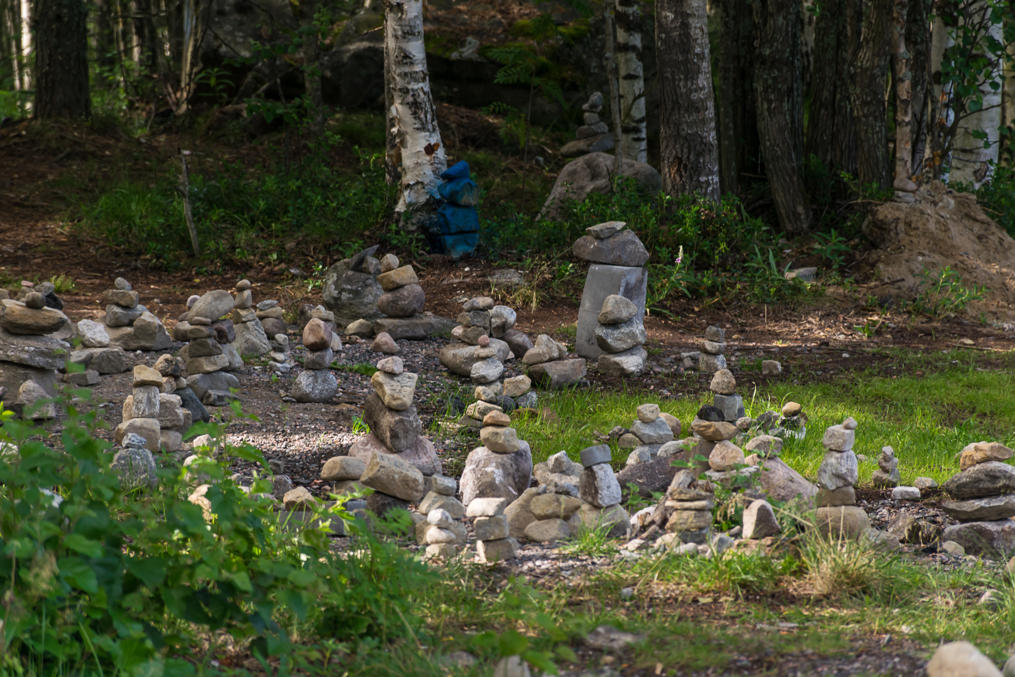
14. Some cairns built near the Arctic Circle sign by travellers over the years.
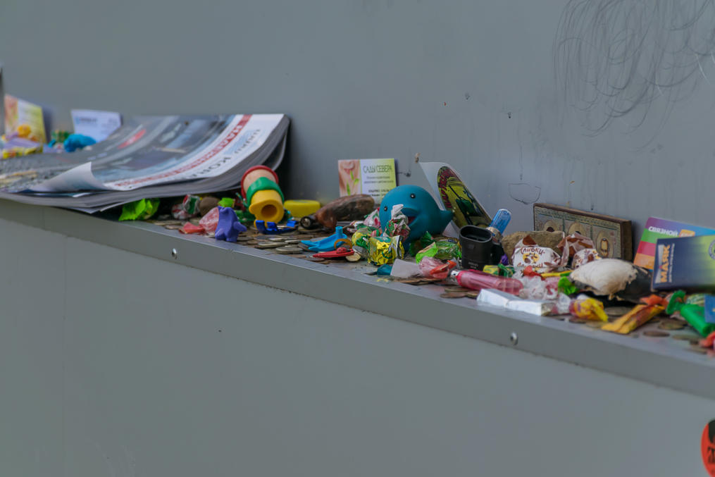
15. For some reason there are lots of small objects and snacks left at the Arctic Circle sign, as if it is some sort of an idol which needs to be placated if you want to continue further on to the north.
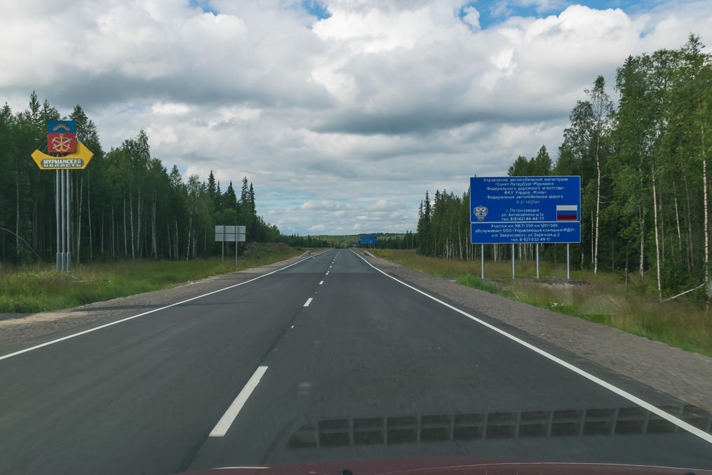
16. And now, Murmansk Oblast! Here we go! This region of Russia covers the entire Kola Peninsula and the area between it and the border with Finland and Norway. Its capital, Murmansk (Мурманск), is the largest city above the Arctic Circle in the world. Although most of the Kola Peninsula proper is nearly uninhabited, there is a number of towns along the Kola Route, including Kandalaksha (Кандалакша), Polyarnye Zori (Полярные Зори, Russ. Polar Daybreaks), Olenegorsk (Оленегорск, Russ. Reindeer Mountains Town), Monchegorsk (Мончегорск, Russ. Moncha Mountains Town), Kirovsk (Кировск), Apatity (Апатиты, Russ. Apatites), and Lovozero (Ловозеро, also Луяввьр (Lujavvr') in Kildin Sami language). Most of these are mining towns; the mountains of Kola Peninsula are rich with natural resources. Polyarnye Zori is built near a nuclear power plant, and Lovozero is the biggest Sami village in Russia.
Murmansk Oblast is definitely deserving a closer look, but this will have to wait for another trip. The only town we briefly visited on our way was Kandalaksha (Кандалакша, also Kantalahti in Finnish), mostly to refuel and to have some sort of dinner.
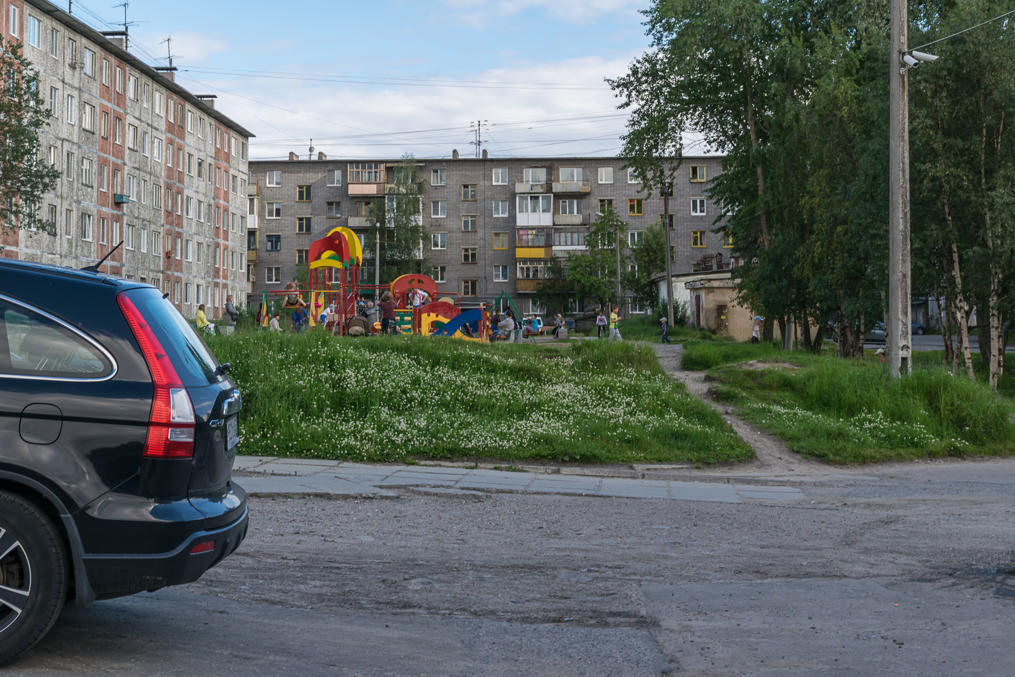
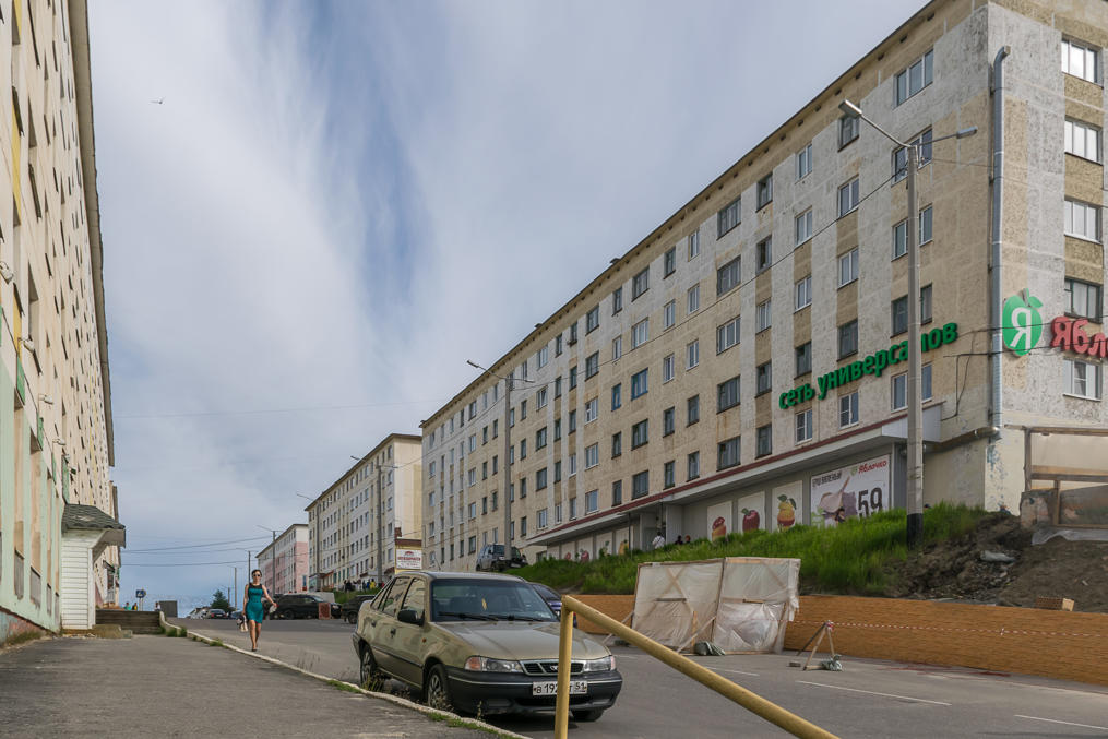
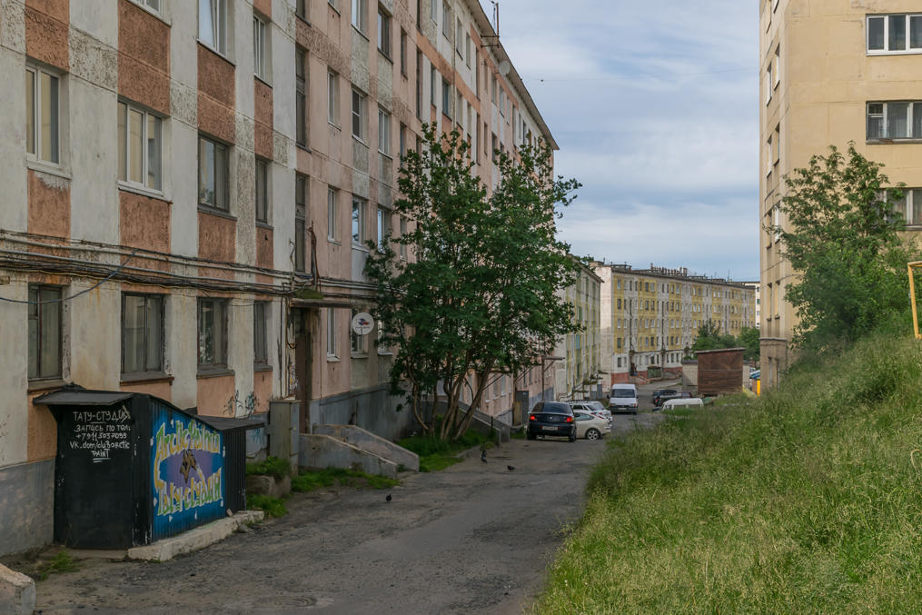
17. It took a while to find a restaurant which wouldn't look too scary. Kandalaksha is a fairly ordinary small Russian town (population 32,000). It is fairly old (no younger than 16th century, possibly much older) but you won't find any historical sights there; the town is occupied by regular khruschevka five-storeyed Soviet era apartment blocks, and a huge industrial area with a seaport. It doesn't really look particularly unfriendly though.
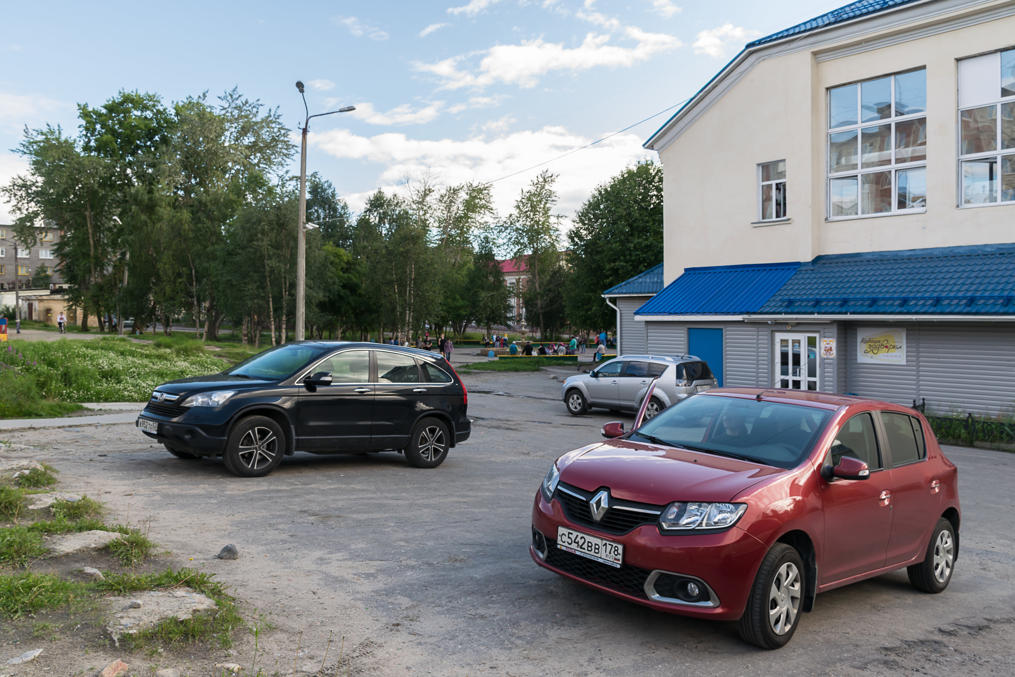
18. Finally found a restaurant, in the background. It had to microwave its food for us and it wasn't particularly tasty, but it was dirt cheap and by that point we were hungry enough that we didn't care.
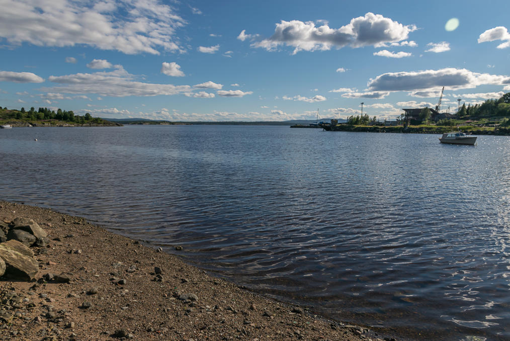
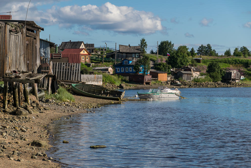
19. Like so many Russian cities Kandalaksha utterly fails to make use of the fact that it has a long and potentially beautiful coastline. It is mostly occupied by a cargo seaport. We decided that we wanted to have a look at the White Sea (who knows when else we'll get to do it!), I examined a map, and after a few attempts we found a poor dirt road that led to a small community and a beach on the coast of a bay of the White Sea.
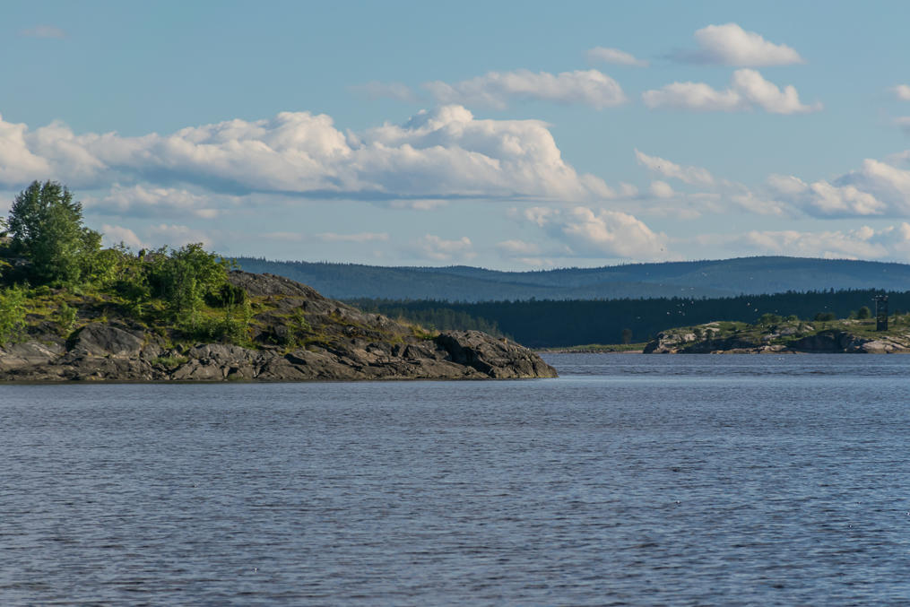
20. The sea here tastes as fresh as the Baltic Sea. Of course this is a pretty small bay, with a river flowing into it somewhere nearby.
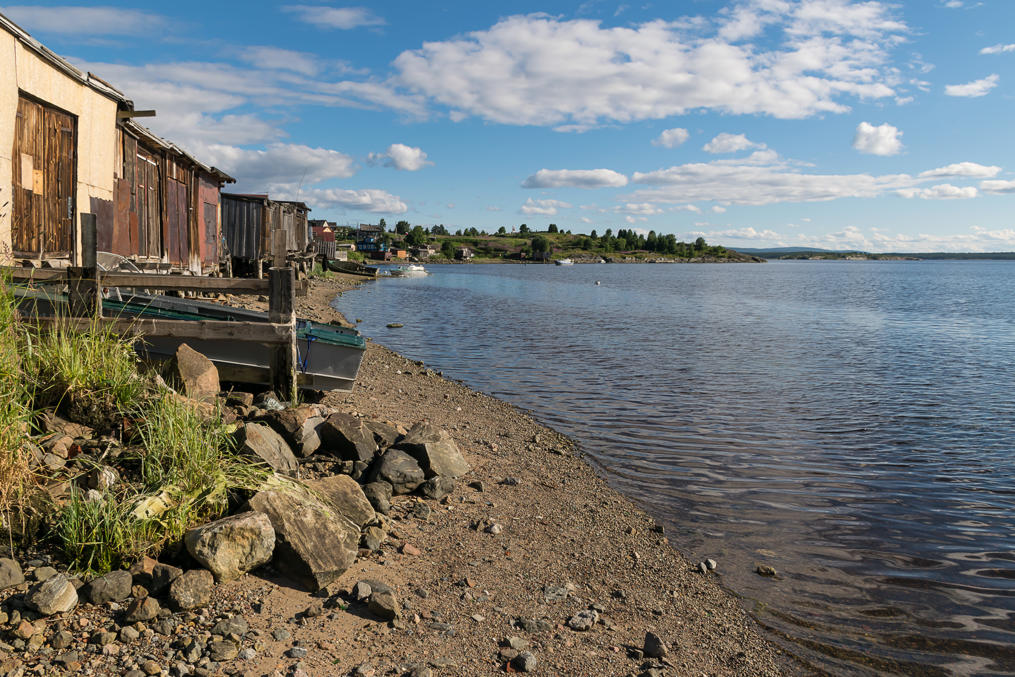
21. This is a fairly good picture of what the old Russian North mostly looks like.
22. Islands along the fairway to the open sea.
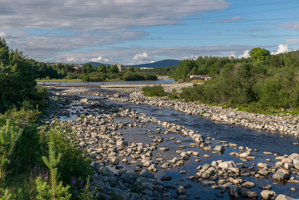
23. And this is the local river, named Niva (Нива, probably after Finnish "Niva" (small rapids) rather than Russian "Нива" (field)).
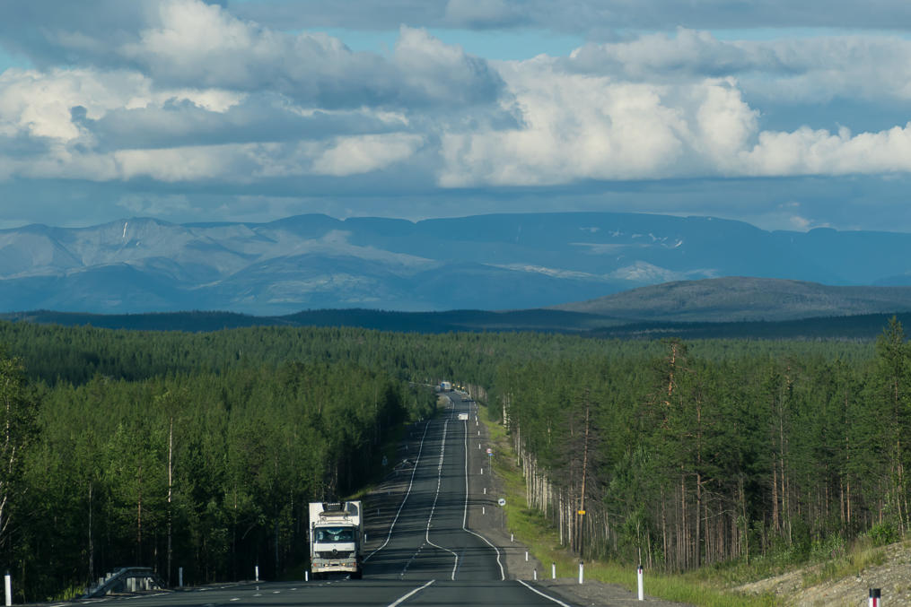
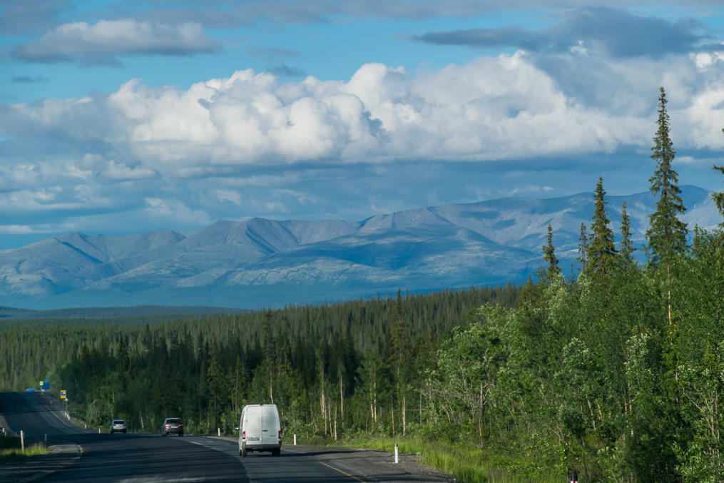
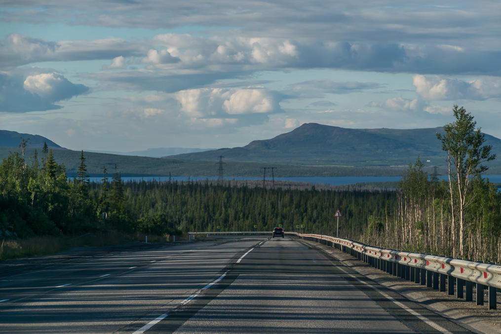
24. After refuelling we left Kandalaksha and drove on to the north. The scenery in Murmansk Oblast is much more impressive than in Karelia; most of the time you'll be seeing some majestic fells on the horizon or nearby. Not unlike Finnish Lapland but these fells look bigger! Among the are Khibiny (Хибины), the best known mountain massif on the Kola Peninsula by far. With cities of Kirovsk and Apatity located at their feet, Khibiny are easily reachable, and have a lot of cool (but hikeable) mountains with Kildin Sami names, like Yudychvumtschorr (Юдычвумчорр, Kild. Sami Droning Mountain). I should go there someday.
25. Pretty soon I declared that this was, in fact, the prettiest road I've ever driven! Of course in the following days I saw a lot of Norwegian roads and many of them were even more scenic. Still, Finland for example, for all its advantages, already doesn't have anything comparable.
26. Throughout the Murmansk Oblast, the Kola Route usually has an extra climbing lane when passing various hills. This makes overtaking trucks really easy.
27.
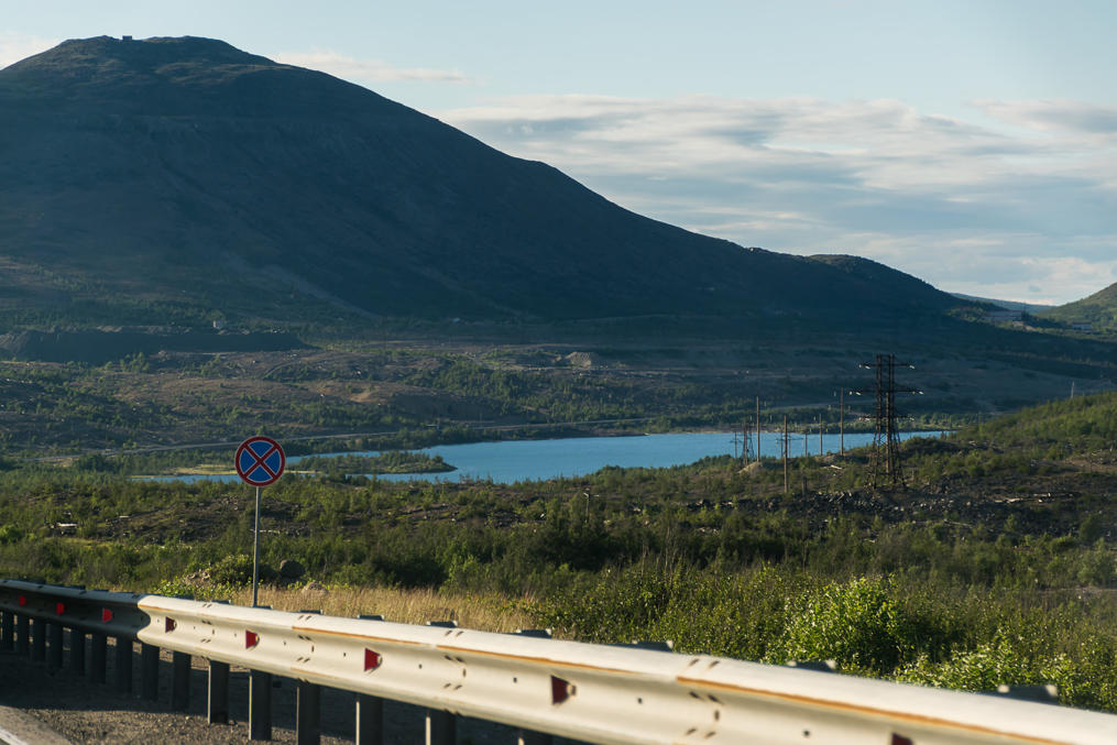
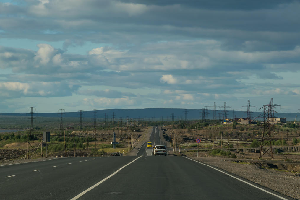
28. The landscape briefly changes when you pass the city of Monchegorsk. This city is mostly known for its extremely polluting copper smelting plant. The land around Monchegorsk is very barren. It reminds me a bit of Karabash, a similar town in the Ural Mountains where I come from. Still, the polluted area is pretty small compared to the vast fell areas around.
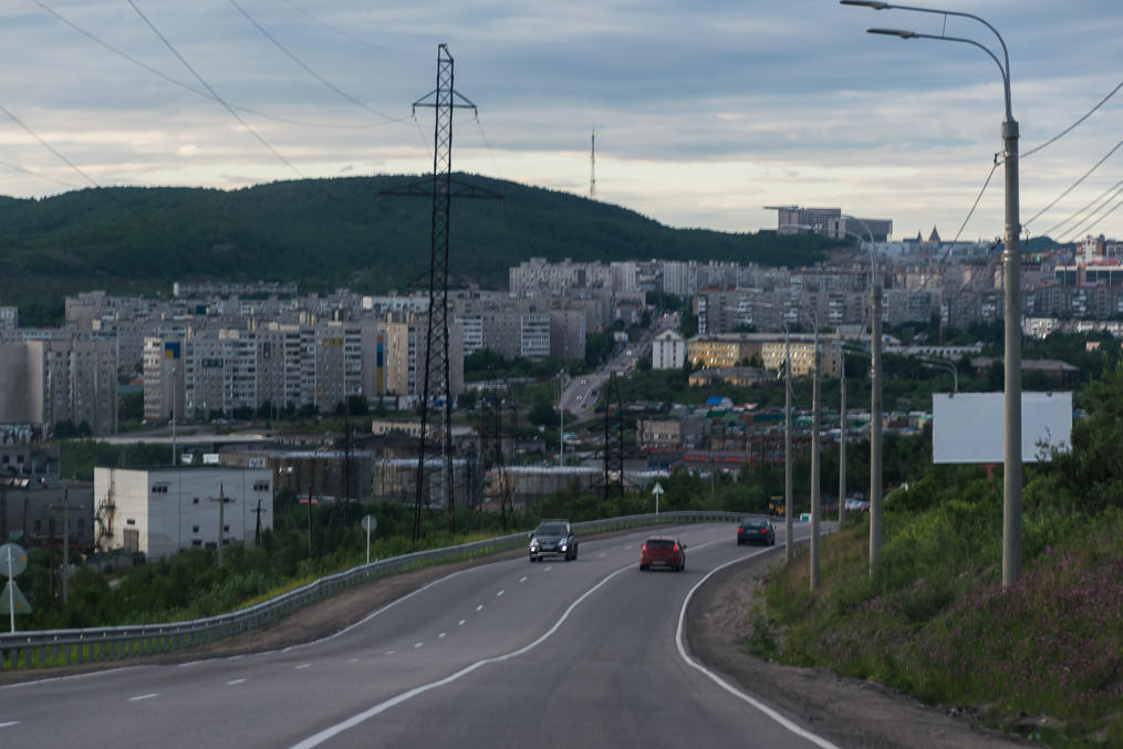
29. And here we are approaching the city of Murmansk at last! Murmansk (Мурманск) is the biggest city to the north of the Arctic Circle in the world by far, at 300,000 population; all cities in the Arctic in Finland or Norway are many times smaller than that.
30. We explored Murmansk a bit in the evening (got our first peek at the midnight sun, too) and for half of the following day, which, again, I'll cover in another part. Murmansk felt rather bland (even in spite of its cool Arctic location) but at the same time it seemed to be in a rather good shape, by Russian standards. Far less dilapidated than Petrozavodsk, and in fact far less dilapitated than you'd expect from a Russian city of that size too. The city is a major seaport but it is actually located near the bottom of a long narrow fjord (Kola Bay (Кольский залив), technically actually a fjord despite lacking the official moniker).
Anyway, we left Murmansk, crossed the Kola Bay on a bridge near its bottom, and proceeded onto the remaining part of the Kola Route. From Murmansk it goes on to the west, parallel to the Barents Sea coast, for about 200 km more.
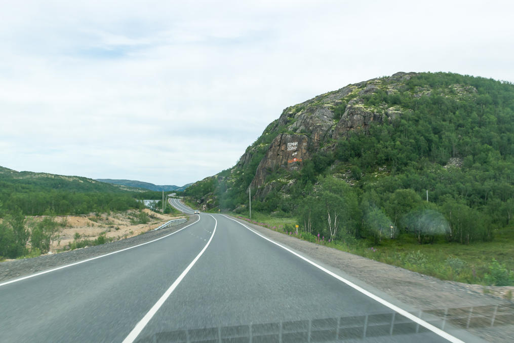
31. This part of the Kola Route gets much hiller and curvier; no more climbing lanes, too. The traffic however gets very light, and semi trucks nearly disappear. There are several WWII era monuments near the road (and the graffiti on a rock in the picture says "Remember the War"). There were some brutal (if rather little known) fights with the Nazi Germany in this area. The Germans, based in the occupied Norway and in Lapland (since Finland allied with them), really really wanted to capture Murmansk and/or cut off Murmansk Railroad to keep the Soviet Union from receiving lend-lease military aid from the US and Britain, which mostly came through the port of Murmansk. The episode was dubbed Operation Silver Fox (Germ. Silberfuchs). In the end it was unsuccessful and Murmansk continued to operate throughout the war. In fact, this is the only place where Germans were ultimately unable to cross Soviet borders throughout the entire war.
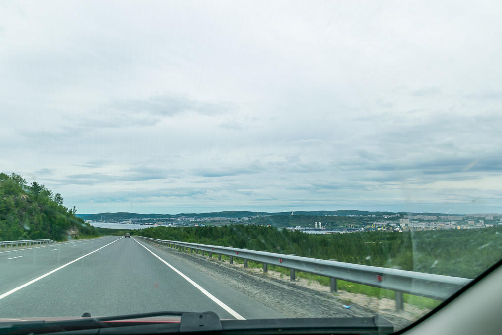
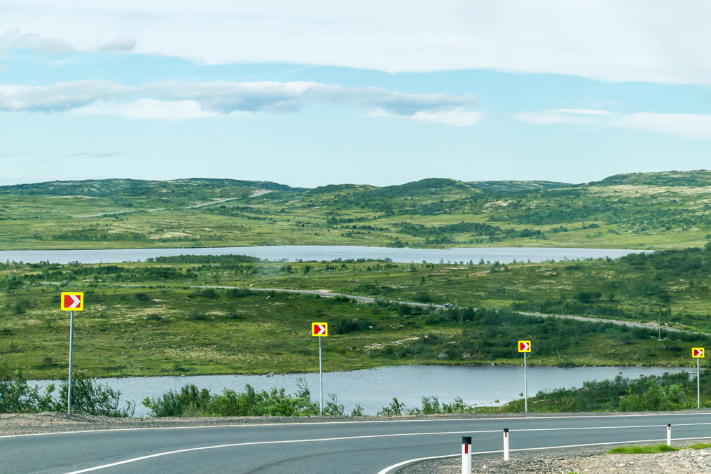
32. Despite the latitude the road still mostly goes through ordinary boreal forests (taiga) but you do get to see some tundra areas at last from time to time.
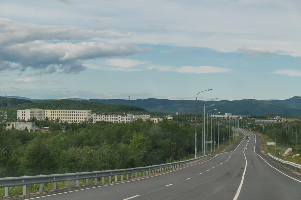
33. The area between Murmansk and the border appears to be heavily militarized even now. Which isn't very surprising, as for a long time Norway was the only NATO country that the Soviet Union and later Russia had a land border with. Passing a small town of Sputnik (Спутник, Russ. Satellite) which is basically a big barrack, utterly forgettable.
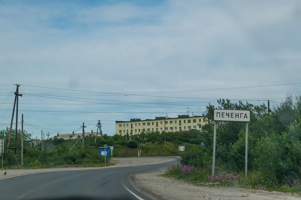
34. Pechenga (Печенга, also Finn. Petsamo) is pretty much another big barrack nowadays. We briefly drove around it, and it appeared extremely bleak and depressing.
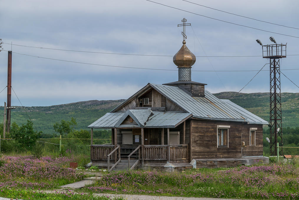
35. Which is rather sad as Pechenga is actually one of the oldest settlements in the area. In the 16th century an Orthodox monk named Trifon founded a monastery here in order to baptize the local Sami people into Orthodox faith. The monastery was eventually destroyed by Finnish raiders (as part of one of the Russian-Swedish wars) and subsequently moved to another location, but Trifon's efforts had some success; the local Skolt Sami are indeed traditionally Orthodox Christian to this day.
This is particularly interesting as the Skolts mostly live in Finland these days. Pechenga area belonged to Finland in 1920-1944 (and was known as Petsamo then). The young Finnish state, having assserted its independence in 1917, and brutally crushed its own Soviet Union-aligned Reds in 1918, was rather fiercely nationalistic, and undertook a number of military expeditions to Russia, ostensibly to help the Karelians (and probably the Sami and the Vepsians and so on) to overthrow the Bolshevik yoke. In Soviet/Russian historiography these are known as the First and the Second Soviet-Finnish Wars. So that people now can claim that the Winter War was already the third one, and since it was Finland which attacked the first two times, attacking it in 1939 was somehow less wrong... but I digress.
Anyhow, in Finland these conflicts are known as Heimosodat, Kinship Wars. It doesn't really make sense to compare these with the Winter War, as these "wars" were little more than a few disjointed volunteer expeditions; in total, 9,000 people participated in them (on the Finnish side), and 660 of them were killed in action. Compare this with Winter War: 340,000 Finnish combatants, 26,000 of them dead. The expeditions were officially a "volunteer" undertaking, and the Finnish state ostensibly had little to nothing to do with them. Ultimately none of the expeditions were successful.
Two of the expeditions were to Pechenga. These were really small, 100 people in 1918 and 60 people in 1920. Curiously, Finland actually sort of had a valid claim here. Back in 1864 Tsar Alexander II annexed the city of Sestroretsk from the Grand Duchy of Finland to Russia proper (Sestroretsk was a home to an old and important arms factory very close to St. Petersburg). In return he promised to give Pechenga to the Finns; it was a piece of land orders of magnitudes bigger than Setroretsk but of little value at the time. The promises never materialized, and in 1918 and 1920 the Finns decided to remind the Soviet state of them. Another curious fact: in 1918 Finnish volunteers in Pechenga had to fight mostly with the British, which were aiding the Whites in the ongoing Russian Civil War, and were none too pleased when some Finns suddenly appeared out of nowhere and claimed their rights to the territory. World War I was still ongoing at the time, and Finland, once independent, was pretty much aligned with Germany at the time. Many of the troops fighting for the Whites in the Finnish Civil War were trained in Germany (the Jaegers — Jääkäri — who were so famous that jääkäri is still the official name for the basic enlisted soldier rank in the Finnish Army), and Finland considered installing a German noble as their own king. So Finland was kind of an enemy to Britain, and the British ended up actually allied with the Russian Reds in this skirmish. Of course it was very small scale as well, and ultimately the Finns had to retreat, same as subsequently in 1920.
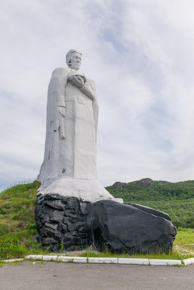
36. More WWII monuments.
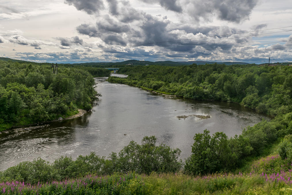
37. Pechenga River flowing past the town.
38. Soon after the Pechenga expedition of 1920 the Tartu Peace Treaty was signed between the Soviets and the Finns (although it still didn't completely mark the end of the Kinship Wars). Pechenga area was ceded to Finland (but none of the disputed lands in Russian Karelia were). This turned out kind of a big deal for Finland; first, it meant it now had access to the Arctic Ocean, with its own ocean port, named Liinahamari, on the coast of a small fjord (Finland can into fjords now! yay!). A gravel highway was eventually built to Liinahamari from Rovaniemi, named Jäämerentie (Arctic Ocean Road, literally Ice Sea Road, as Arctic Ocean is literally translated as "Ice Sea" from Finnish); a railroad would be much easier to use, but was deemed too difficult to construct. The road which became the earliest alignment of Finnish National Road 4 (the longest highway in the country, beginning in Helsinki) was extremely popular with tourists despite poor quality of both the road itself and the cars at the time; it was the first road in Finland that allowed people to see the real Arctic. The port (actually fully built as late as 1940) was particularly important in the short interwar period of 1940-1941, when it was the only port in both Finland and Sweden which could be used freely without any interference from either Germany (which basically completely controlled the Baltic Sea) or the Soviet Union.
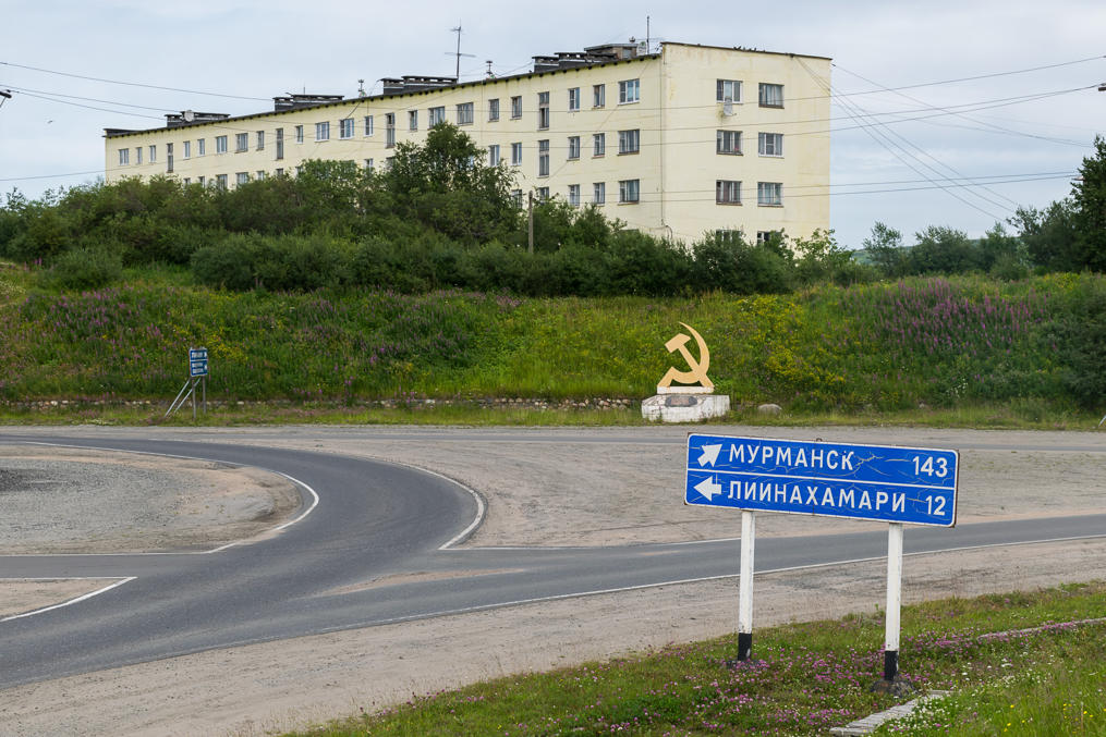
The port of Liinahamari still exists and even keeps the old Finnish name (Лиинахамари), but it is now used by the Russian Navy, and is off-limits to a casual tourist without a special permit. The old Ice Sea Road also physically exists (in Finland it is the Regional Road 969, the turnoff towards Nellim village in Ivalo), but of course it is now split in two by the modern border; for some reason there is no public border crossing on this road. And this is the turnoff towards Liinahamari in Pechenga.
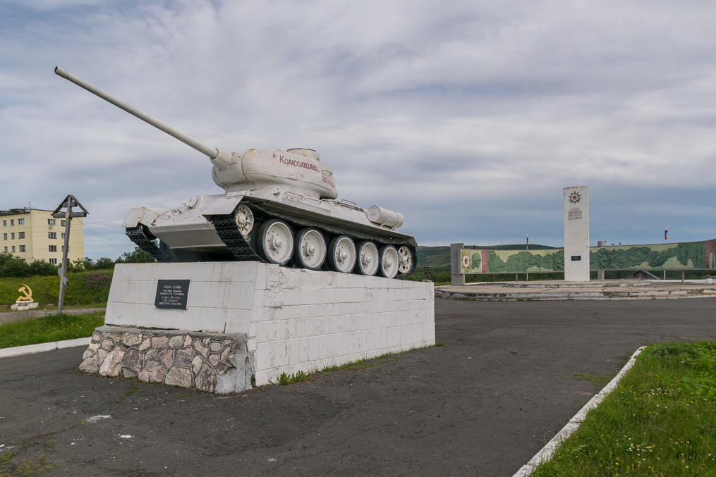
39. WWII era tank.
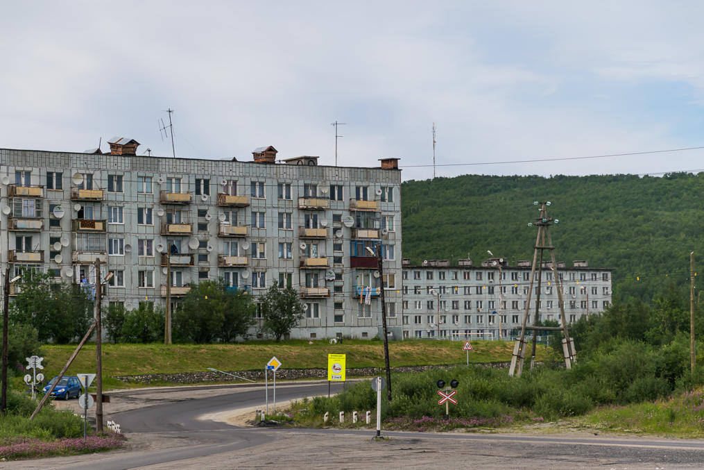
40. The depressing Pechenga.
41. Even more importantly, soon after Finland got Pechenga (known as Petsamo then) it undertook a comprehensive geological survey of the new land, and what do you think — the biggest nickel deposit in Europe! A mining town named Kolosjoki was promptly established. The mine grew to be a pretty big one, and eventually turned out to be of crucial importance to the Nazi Germany, which had basically no other significant sources of nickel for its war machine.
After the Continuation War in 1944 the Soviet Union basically said "that's enough" and demanded the Petsamo area back. So Finland doesn't have an oceanic port anymore (and cannot into fjords, too). Most of the local Skolt Sami were evacuated to the west, and live now in villages of Sevettijärvi and Nellim in East Lapland. The mine, destroyed in the war, was re-established, and the mining town of Kolosjoki renamed to Nikel (Никель, Russ. literally "nickel"); a sister town named Zapolyarnyi (Заполярный, Russ. Transpolar Town) was eventually built very close to Nikel, and is currently the biggest town of the Pechenga area. And Zapolyarnyi is where we dropped by to have our last dinner in Russia.
42. We chose Zapolyarnyi rather than Nikel simply because it comes first when driving towards the border, and is a little less out of the way than Nikel. Nikel is in theory a bit more interesting; it still has some Finnish-era residential buildings, for example. We weren't really willing to explore much, or at least I wasn't. Zapolyarnyi seemed not just ugly but a very nasty place, the kind of where you'd expect to be beaten up simply for being from St. Petersburg. The town also looked particularly depressing because there were large "burned out" bare patches of land without any vegetation, due to the pollution from the foundry (same as in Monchegorsk, just a different metal being smelted). With some effort we found something that could be generously called a restaurant, and got something to eat. The food was actually okayish and really cheap though.
This close to the Norwegian border (30 km or so) you begin to see cars with Norwegian license plates. As far as I remember citizens of Pechenga area in Russia and Sør-Varanger area in Norway actually can cross the border without a visa (although they are not supposed to go too far into the neighboring country). It's kind of strange that Nikel and Zapolyarnyi don't seem to be huge magnets for Norwegian grocery shopping (although maybe they are and I just didn't see the actual supermarkets). In both Finland and Sweden there are supermarkets in every village near the Norwegian border, and they do see a lot of Norwegians (because everything is crazy expensive in Norway even by Nordic standards); and of course in Russia prices are much lower than in Finland and Sweden. On the other hand you still do have to cross the border with all the border formalities which is annoying even if you don't need a visa, and presumably there are limits on how much food you can bring over from Russia. And also there simply aren't that many people in Kirkenes and other Norwegian localities near the border.
Anyway we did see (from afar, otherwise we would have helped) a Norwegian car parking on a street, a Norwegian guy stepping out, and trying to enter a grocery store. Of course he couldn't read a notice in Russian saying the store was closed for good. So he kept pulling on the door for quite some time.
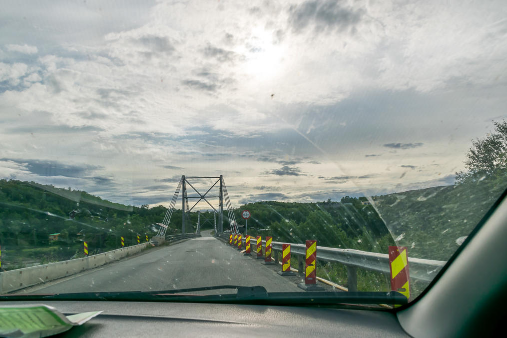
43. The road between Zapolyarnyi and the border was being rebuilt. Nikel bypass seemed to had been recently constructed; a perfect and straight road with zero traffic. Made for a nice drive, except the part where I had to suddenly evade a truck which for some reason was driving in the oncoming lane in a blind turn.
In Russia you cannot drive straight to the border; there will always be a roadblock in 5-25 km from the border where you have to show you either have a valid passport, or are a resident of some locality in this 5-25 km border area, or otherwise have a special permit for visiting the border area. When driving from St. Petersburg to Finland these roadblocks are mere formalities (you roll down windows, show your passports, and the border guard waves you over; they don't even really look at the passports), but here we had a much more thorough examination. The guards made sure we had not only passports but valid visas too, and phoned the actual border crossing informing them that we should be arriving soon.
The rest of the road to the border was still under construction, and we basically had to drive on crushed rock (not even on gravel) for 10 or 15 km or so. The border crossing checkpoint, the only one between Russia and Norway, is named Borisoglebskiy (Борисоглебский, Boris Gleb, in Finnish era known as Kolttaköngäs), and its Norwegian counterpart is named Storskog (Norw. Big Forest). We were the only car at both Russian and Norwegian sides. Both Borisoglebskiy and Storskog were pretty nice, with friendly and polite border guards. Of course they did examine the car rather closely, and (in Borisoglebsky) even asked us to put our bags through an X-ray scanner, like in an airport.
And so after 1592 km and three days on the Kola Route we were in Norway at last! We drove to our first place of overnight stay, named Birk Husky B&B, in a village of Melkefoss in Pasvik Valley. To be continued.
