If you look at the map of Finland, you will notice that its shape does not have many interesting features, except one: the Arm of Finland, its appendage in the far northwest of the country, over 100 km long and wedged in between Sweden and Norway. The common Finnish name for this territory is Käsivarsi (literally "an arm"); it is also often referred to as Enontekiö, which is the name of the municipality entirely encompassing this part of the country.
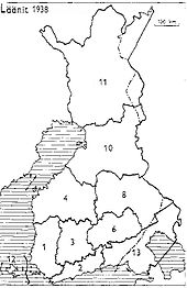
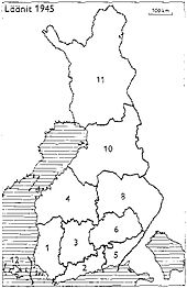
Why is it called specifically "the arm" rather than any other body part? Well, you see, there used to be two arms. The right arm was called Petsamo. With two arms, Finland's shape could be said to resemble a woman a tiny bit, which fit well with the image of the Maiden of Finland, a traditional personification of the country. Petsamo, which actually was originally a Russian territory known as Pechenga, was reclaimed by the Soviet Union in 1945 after the war. Since then Finland has been one-armed.
The Arm of Finland is a very peculiar land. This is the only place in the country where you can see actual huge jagged mountains, completely unlike rolling fells of Pallas-Yllästunturi. These are the Scandinavian Mountains, the great mountain chain which Northern Sweden and pretty much entire Norway owe their stunning landscapes to. The climate of Käsivarsi is harsher than in the rest of Lapland, too; mostly too harsh for any forests other than patches of stunted birch to exist, even. There are not many things to do in Käsivarsi other than hiking, but for hiking it's absolutely perfect.
The only road in Käsivarsi is Valtatie 21, the Northern Lights Road, which still follows Muonio River (and Könkämäeno River which forms the upper course of Muonio) here up to the very border of Norway. The region is very sparsely populated, with only a few minor villages along the Northern Lights Road; the total population of Enontekiö Municipality is only 1,900 (and the biggest village named Hetta is in Fell Lapland, not within Käsivarsi "appendage"). There's a significant (19%) Sami minority in the area, enough that road signs are bilingual, with place names duplicated in a bizarre Northern Sami language. The tiny local economy is based on tourism, reindeer husbandry, and local services.
Probably the best known place of interest in Käsivarsi is Treriksröset (Swed. Three Countries Stone). It is the point where borders of Finland, Sweden, and Norway meet. It is relatively accessible; an 11.5 km long trail leads to it from Kilpisjärvi, the northernmost village of Käsivarsi.
Immediately after Kilpisjärvi there is a customs building, a small sign saying Norge, and then Troms County of Northern Norway begins. The Northern Lights Road, designated in Norway simply as European Route E8, descends from the mountains to the sea level in 50 more kilometers, reaching the Arctic Ocean and Route E6, the trunk road of Norway, at the shore of the huge Lyngenfjord. From there you could drive to Tromsø, the largest city of Northern Norway, or around valleys, fjords, and islands, as countless there as they are in the more often visited Western Norway.
So... Since I happened to be relatively close to Käsivarsi, I decided it would be downright criminal not to visit at the very least Treriksröset and Lyngenfjord. The original idea was to visit both of them in one day, which would need a 600 km drive and a 23 km hike. That was theoretically doable, and I even got up at 4 AM intending to set out very early. But then, having difficulties getting out of my bed, I checked Booking.com and found that a camping in a village named Birtavarre near Lyngenfjord offered cabins at a very reasonable price. So I decided to make this a two day trip, and booked a cabin right away. This meant I was less time-constrained, and I hoped to drive around Norway on the following day — without any specific destination in mind, just driving around fjords.
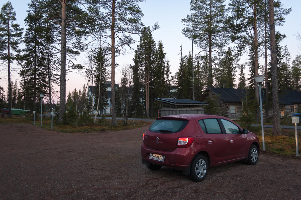
1. I ended up leaving my cabin at about 7 AM, shortly before dawn. The plan was: drive 250 km to Kilpisjärvi, walk to Treriksröset and back, and drive 25 km more to Lyngenfjord and Birtavarre.
2. I topped up my gas tank at a gas station at Jounin Kauppas mall, and then drove to the north on Road 940, the same narrow one-lane road as yesterday.
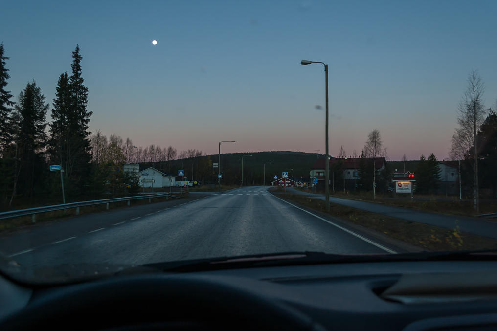
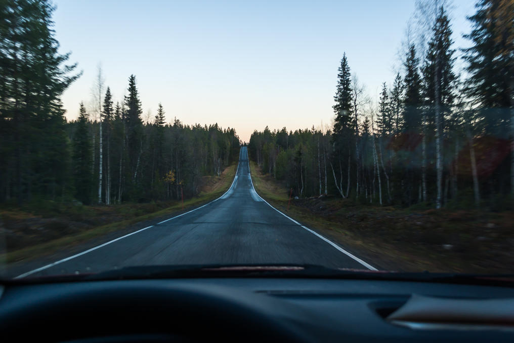
3. Road 940 shortly before dawn...
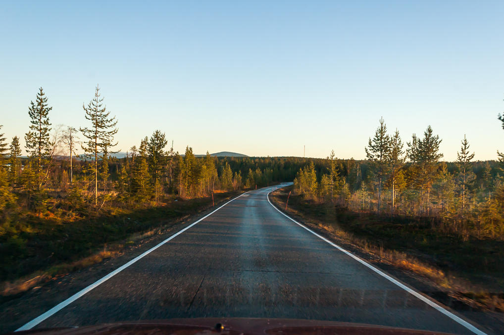
4. ...and shortly after dawn. 35 km on Road 940, then 20 km to the west on Primary Road 79, and I ended up on the National Road 21 "Northern Lights Road" again, in the town of Muonio, population 1,900. Near the junction of Road 79 and Road 21 I saw another reindeer herd, which luckily didn't block the road.
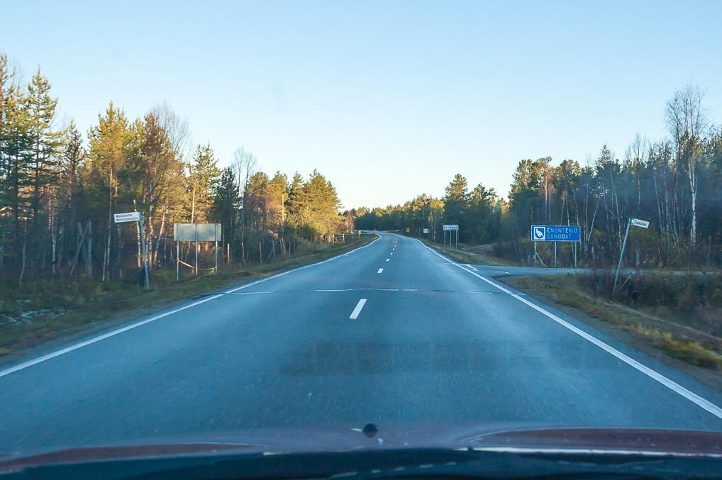
5. Kolari and Muonio Municipalities left behind, I'm entering Enontekiö. The name of the municipality is already duplicated in Sami language as Eanodat. Its coat of arms displays a willow ptarmigan.
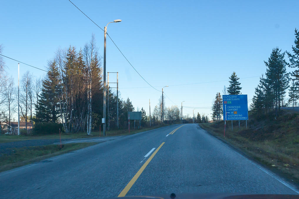
6. Spruce forests looking mostly the same as they did around Äkäslompolo gradually begin to disappear only after the village of Palojoensuu. Palojoensuu is the place of the second to last crossroads on Northern Lights Road. Primary Road 93 splits off to the village of Hetta (being the center of the municipality, it is signposted as simply Enontekiö) and then crosses into Norway, into the village of Kautokeino and descending to the northern fjords at the town of Alta.
For some reason I'm enormously fond of the name Palojoensuu. It means "Fiery River Mouth", being located at the mouth of Palojoki (Finn. Fiery River). There is nothing particularly fiery about it but that's a pretty cool name too. There is a relatively large city named Joensuu (Finn. River Mouth, the river in that case being Pielisjoki) in East Finland, in Northern Karelia Region — I visited it in the same October, a few weeks after my Lapland vacation. There are 60,000 people in Joensuu and 100 in Palojoensuu, so they don't have much in common. Palojoensuu is where the action of the novel The Way of Four Winds (Neljän tuulen tie) by Yrjö Kokko takes place; the novel tells about the life in Lapland in the interwar period. As with many Finnish works, it is exceedingly difficult to find anything about it in English.
Kautokeino village in Finnmark County, Norway, was mostly known to me from the gem of a quote "Men are from Mars, women are from Venus, and I'm from Kautokeino" from Svidd neger movie, a Norwegian black comedy about a black boy adopted by a rural family in Northern Norway who wants to be a Sami. It is utterly absurd, and at the same time it is set in a stunningly beautiful place and has a very nice soundtrack.
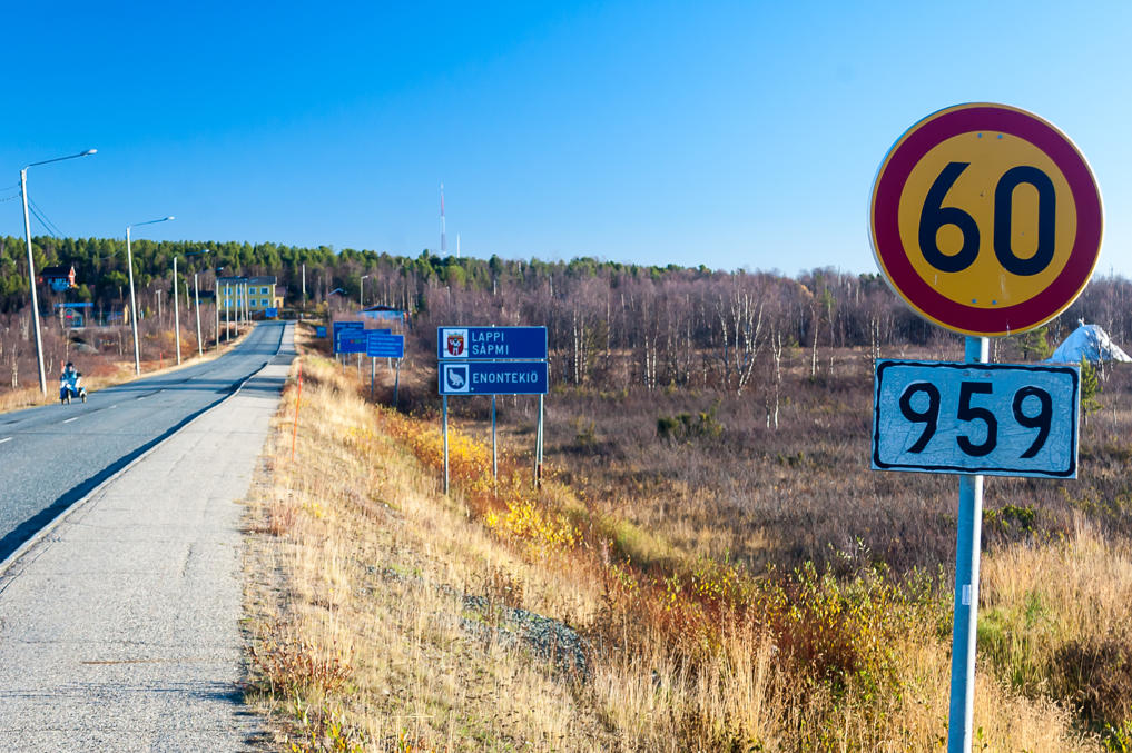
Note also the Sami place names on a road sign. Kilpisjarvi would be Gilbbesjávri and Kautokeino would be Guovdageaidnu. I have no idea how that would be pronounced, or how on earth the Sami manage to spell that. There are actually several Sami languages, too; these signs are in Northern Sami, which is the most common one.
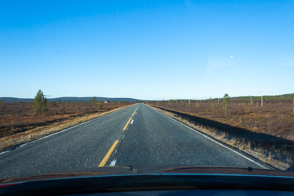
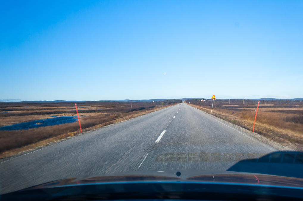
7. Käsivarsi landscape begins in earnest.
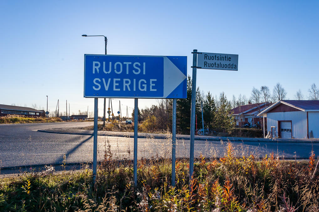
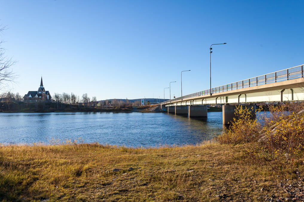
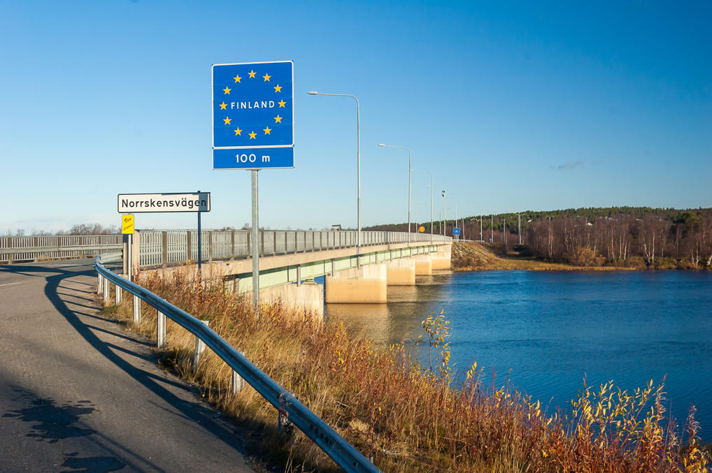
8. The very last crossroads on this road is located in the village of Kaaresuvanto. Having driven nearly exactly halfway to Kilpisjärvi, and seeing this sign for Sweden, I decided to stop and pay a visit to Sweden on foot. As I mentioned back in the first part, there are six border crossings between Finland and Sweden, and all of them are bridges over Torne and Muonio rivers, as the border follows these rivers exactly. The last border crossing is between the Finnish village of Kaaresuvanto and the Swedish village of Karesuando.
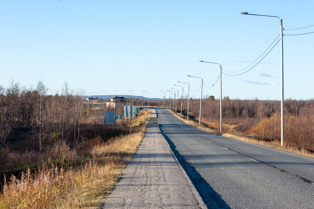
9. The very short road spur from Kaaresuvanto to this last Finland-Sweden bridge has its own number, Regional Road 959. It is about 700 m long.
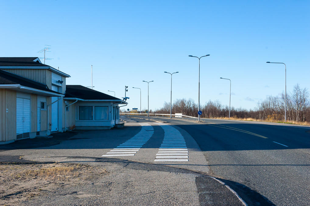
10. All Finland-Sweden border crossings at Torne and Muonio have customs buildings, but all these crossings except Tornio-Haparanda see very little use, generally only by local traffic, and the customs are rarely open. This customs building looks deserted although still functional too.
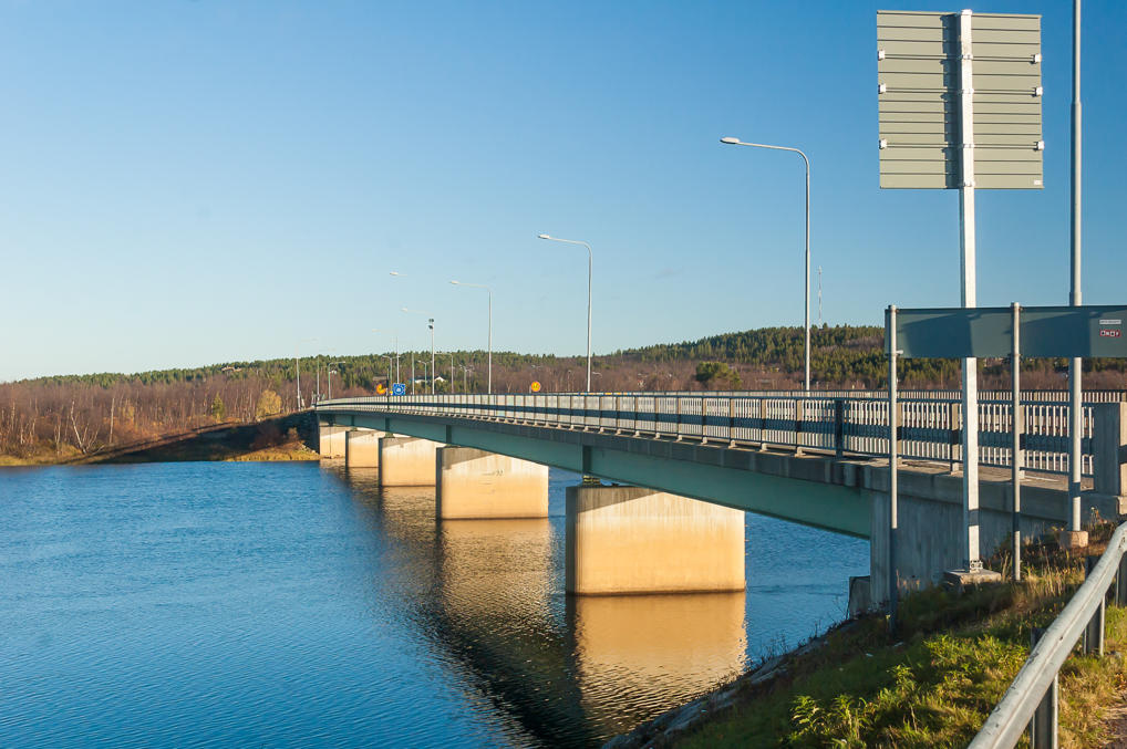
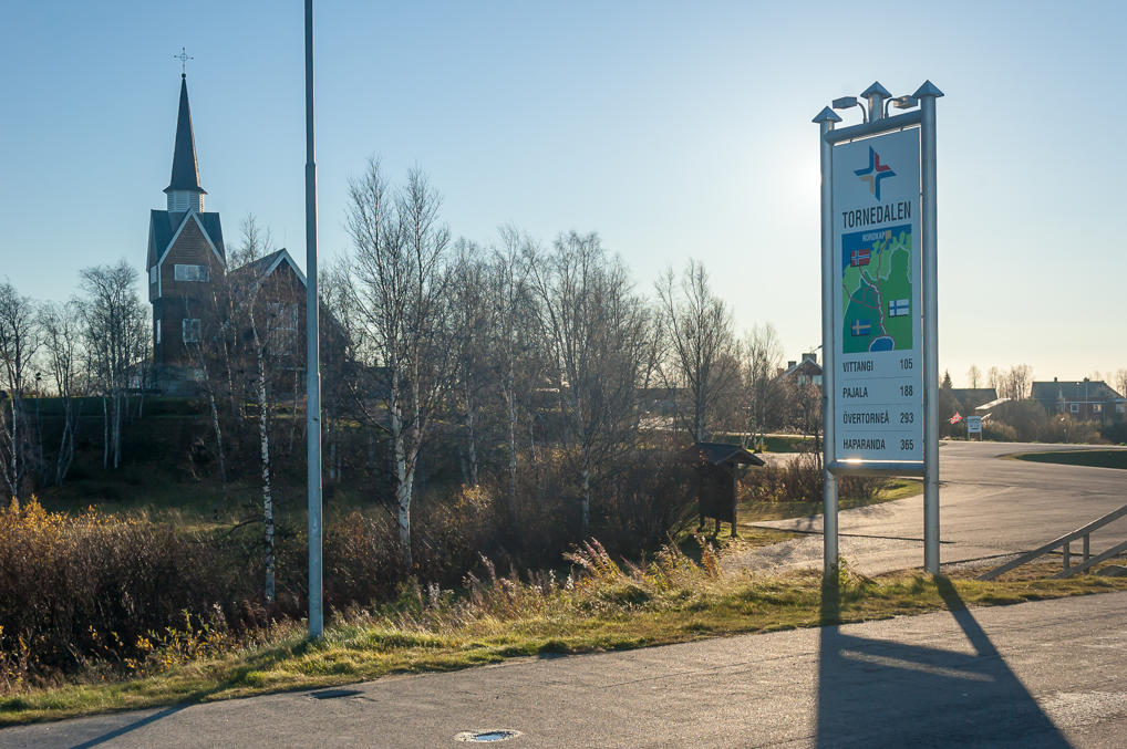
11. The international bridge itself. The church is located on the Swedish side. The bridge was built in 1980; there probably was a ferry crossing before that although I can't say for sure.
12. All the signs greeting you on the Finnish side. You can see the Sami name for Lapland signposted: Sápmi. Some merry local guy rides a tricycle to Sweden; apart from him in half an hour or so I spent in this place only two cars drove on the bridge.
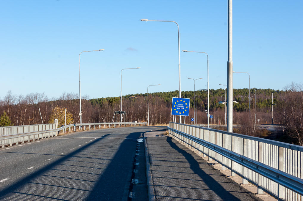
13. Finnish half of the bridge.
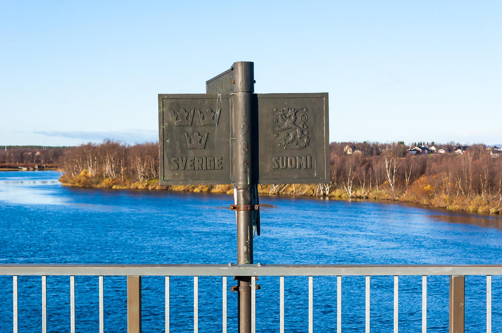
14. At the exact point of the border there is an iron pole with coats of arms of the corresponding countries — the "retarded lion" for Finland and three crowns for Sweden. As far as I have seen in pictures on the web, similar poles are installed on other Finland-Sweden bridges.
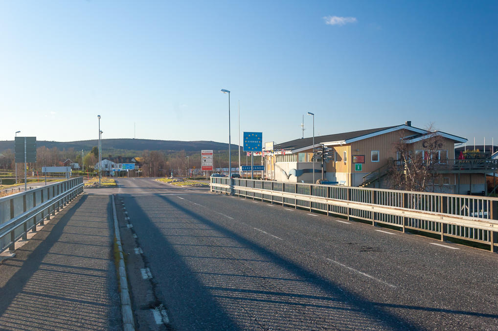
15. Swedish half of the bridge. The building immediately to the right after the bridge might have been a customs too, but it is a restaurant now. I'm not sure whether it was open, it didn't occur to me to check.
16. The village on the Swedish side of the bridge is called almost the same, Karesuando. You'd think that the Finnish name Kaaresuvanto came first, as suvanto is a common stem in Finnish place names, meaning "stream pool", but the original name was actually the Swedish one, after some Måns Mårtensson Karesuando who founded the village way back in 1670. The present villages are about the same size (population 150 or so) and the locals apparently regard them as one place.
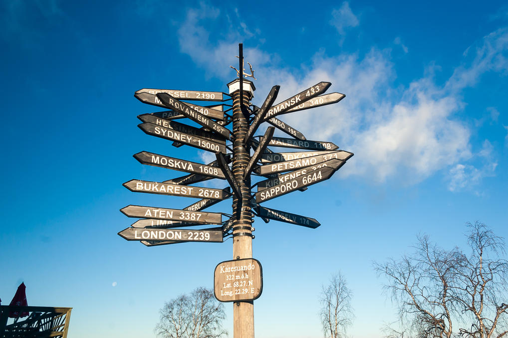
The pole near the restaurant shows distances from Karesuando to various places. The distances look correct but the directions are way off. There's no way London and Sydney would be in the same general direction from here.
Karesuando is where Lars Levi Laestadius, a Lutheran pastor, worked in the first half of the 19th century. Laestadius, appalled by widespread alcoholism in the population which was mostly Sami at the time, founded an ultraconservative religious movement, which grew very successful in Northern Sweden and Finland. Laestadian sect still exists today, and it's even considered a part of mainstream Lutheran church in Finland. Laestadians believe a lot of things to be evil and sinful, not only drinking but also things like TV. I'm currently reading Leena Lehtolainen's Snow Woman (Luminainen) detective novel, and it includes a subplot about a woman from a predominantly Laestadian village in Northern Ostrobothnia, who had had nine children already, and was thrown out of her house by her husband after she had to finally have an abortion as her tenth pregnancy was going to kill both her and the baby. Laestadians don't sound very nice in that book.
17. The bridge as seen from Sweden. I'm on the Swedish soil! Yay! I still can't get used to the ease of crossing of Schengen country borders. Although it is often not as easy as that; in particular whenever the customs/border guards are working they seem quite eager to make a spot check of the papers of anyone driving a car from an unusual country such as Russia.
18. Tornedalen means Torne Valley. Swedish side of Torne and Muonio has its own similar nondescript small towns too (probably untouched by the war though), and this sign shows distances to a few of them. There is a road along the Swedish Torne Valley, similar to Northern Lights Road — it's called National Road 99. The difference is, Swedish Road 99 ends in Karesuando and doesn't go to Norway.
Apart from the Sami, a significant minority in Northen Sweden are the Tornedalians, which are basically descendants of Swedish Finns, who originally migrated there from the Southern Finland, and were stuck here after Finland was annexed by Russia in 1809; until that Finnish and Swedish Lapland were considered one region, and the Torne/Muonio border didn't exist at all. Many smaller village names in Torne Valley are in Finnish even on the Swedish side. Torne Valley is called Meänmaa (Finn. simply Our Land) by the Tornedalians, and their antique sounding dialect of Finnish is called Meänkieli (Finn. Our Language). Meänkieli has long been in decline; even ethnically Finnish inhabitants of Tornedalen tend to speak Swedish in everyday life.
19. Well, time to go back to Finland.
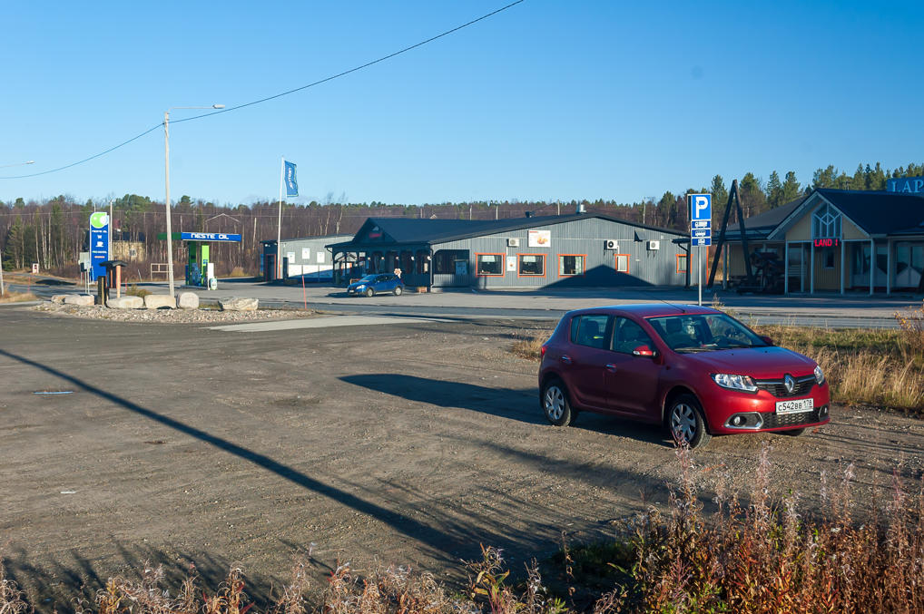
20. I left my car at a large empty truck stop in Kaaresuvanto. Morning sun heated the inside of the car a bit while I was away. This video shows road conditions on the Northern Lights Road in winter, driving from Norway and ending at the same Kaaresuvanto truck stop. It's pretty scary; the road is covered with packed snow, and the cameraman drives a semi and actually overtakes some cars at a considerable speed.
21. Driving north.
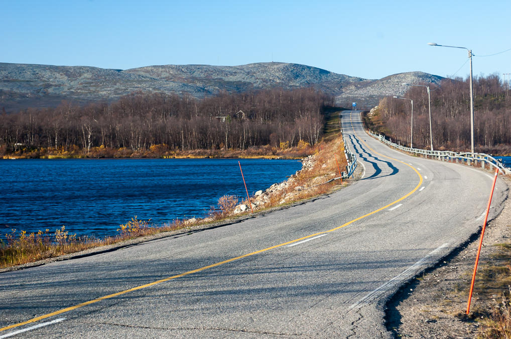
22. A causeway over Ropinsalmi strait between Naimakkajärvi and Ropijärvi lakes. Naimakkajärvi is actually a stream pool of Könkämäeno River (which continues Muonio River farther up north). Röstu Plateau (unsure) in Sweden is visible in the background.
The lake is named after Naimakka, the second northernmost village in Sweden, the very northernmost one being Keinovuopio. Both Naimakka and Keinovuopio are actually accessible only from the Finnish side; Keinovuopio has a tiny bridge, and to get in Naimakka apparently you have to use an ice road over Könkämäeno or a boat in summer. Naimakka has a permanent population of one — a retired welder Åke Siikavuopio lives there, and Swedish newspapers like to publish articles about him from time to time. It is also where the lowest January temperature in Sweden ever was recorded in 1999 (−49 °C).
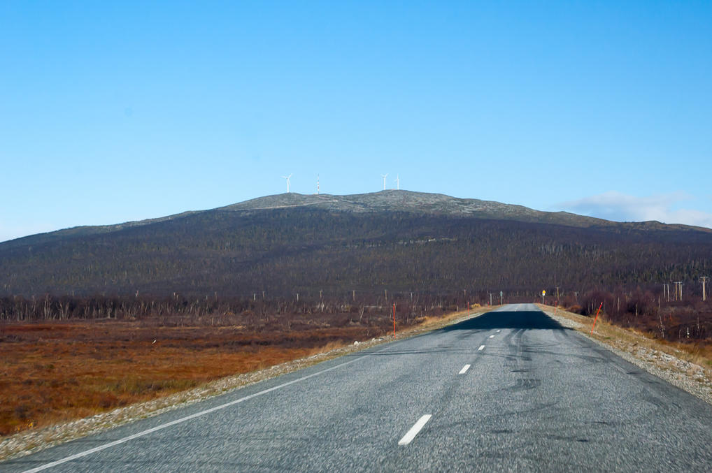
23. The quality of the road remains excellent until the very border, despite the cold climate. The road is not particularly narrow or bendy, and the traffic is very light. I encountered a few recent repairs like this one though. Maybe the road was damaged by permafrost or something like that. I couldn't find a detailed map of permafrost distribution in Finland, but Käsivarsi definitely has at least some patches.
A week ago or so I read in YLE news that €35 million will be spent on Road 21 reconstruction in 2016. The entire stretch from Kolari to Norwegian border will be worked on. The funds were granted as part of €600 million plan to reduce roads maintenance backlog over 2016-2018. Finland needs about €2.5 billion to repair all its roads; many of the secondary roads are considered to be in inadequate shape (although I'm fairly sure they're still nowhere as terrible as many secondary roads in Russia). In case of the Northern Lights Road though the road itself is okay; the funds were rather allocated for something called Aurora Project.
Aurora Project is Finland's "Mobility as a Service" effort. Honestly I'm not entirely sure exactly what it means. They have a website named Snowbox (also see press release by Liikennevirasto (Finnish Transport Agancy)); again, I'm not sure what's the difference between Aurora and Snowbox. Apparently the ultimate goal is to enable testing of robotic cars on Road 21 in winter conditions. Which is a noble goal but it looks like the shorter term goals boil down to "make a reindeer herd tracking and warning system for drivers" and "make an application named Ylläs Around which will enable easy transfer between buses and taxis in Fell Lapland area". Also nice things to have around but I'm not sure what on earth this has to do with robotic cars.
Honestly despite the fact I work in tech myself I place very little belief in this startup buzzword stuff. You can't change the world with an app. Well maybe you can change a tiny part of the world with a damn good app. Still, if they really manage to automate transportation in the north that would be pretty sweet. Not that I would ever give up the joy of driving the Northern Lights Road to anyone.
The three wind turbines on top of the fell in the background are Lammasoaivi wind farm, installed in 1996-1998 by a company with a beautiful name, Tunturituuli Oy (Finn. Fell Wind). Their combined power output is 1.5 MW. Pretty tiny but enough to meet nearly all energy needs of the 1,900 population of Enontekiö Municipality. The turbines and that Aurora Project are another reason why I love Nordic countries so much — attention to small places. A Russian will usually dismiss a city of 200,000 as a "tiny town", and such cities would never see the kind of infrastructure the tiny Enontekiö Municipality gets. And of course Russia is way bigger, but shouldn't it be an asset rather than a liability? Anyway, I love Finland so much.
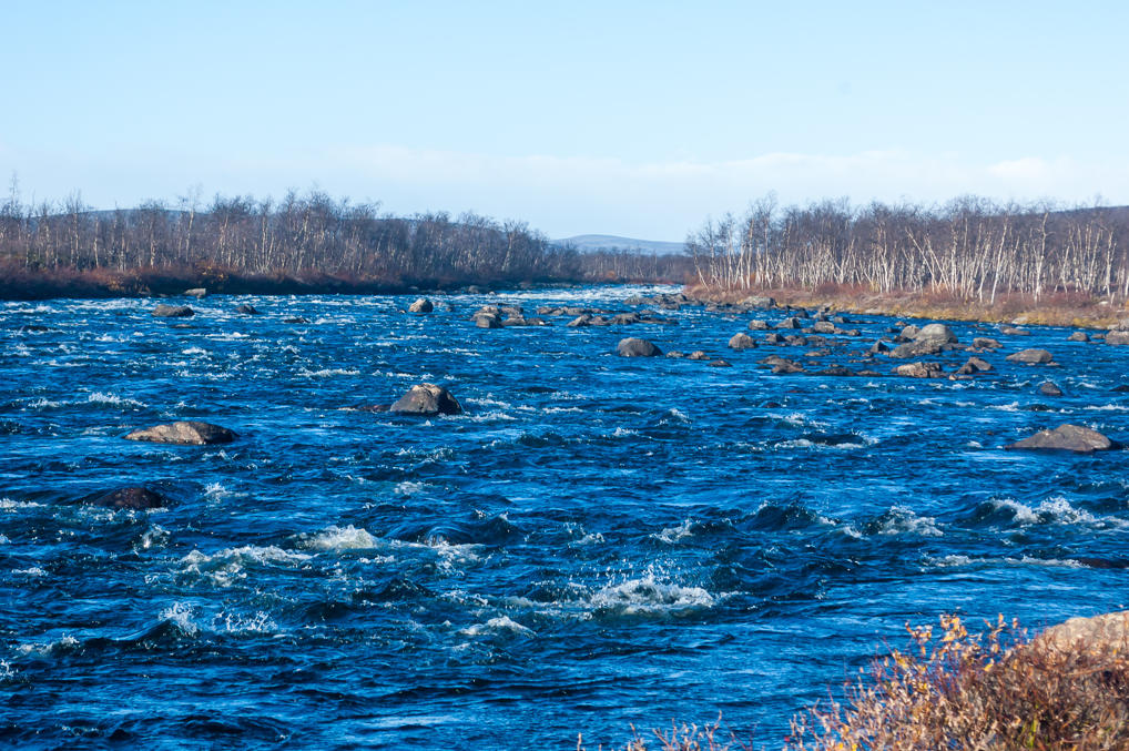
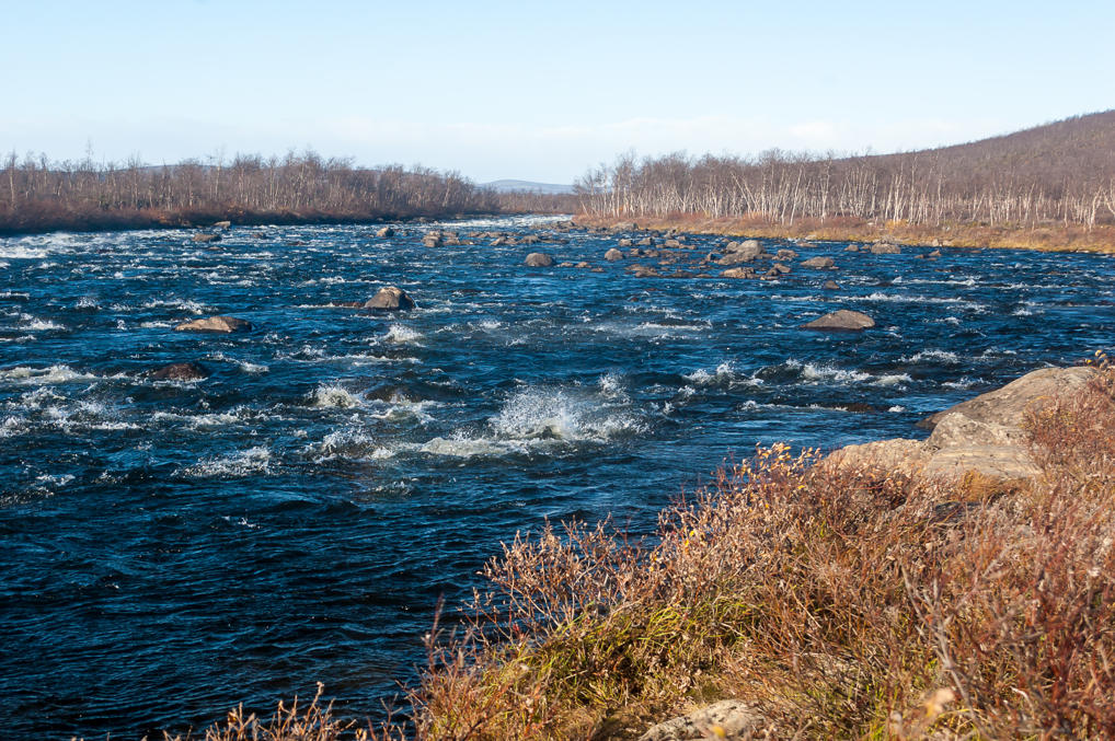
24. Könkämäeno river gets narrow and rocky here, higher up the Käsivarsi mountains.
25.
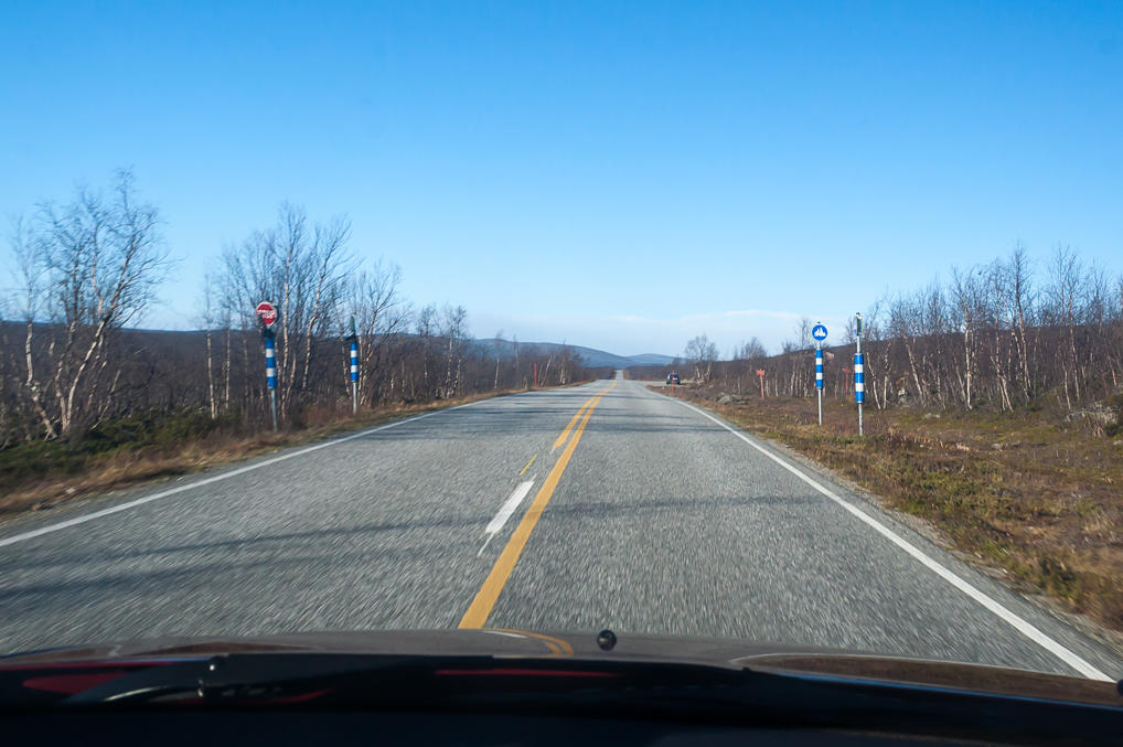
26. Snowmobile crossing, a common sight on all Lapland roads. Apart from roads, hiking trals, and cross-country skiing tracks, Lapland is crisscrossed with snowmobile tracks, completely separated from all of the above. Snowmobiles must always yield to any traffic when crossing public roads, but the crossings are made obvious for car drivers too. The striped poles are particularly visible at night.
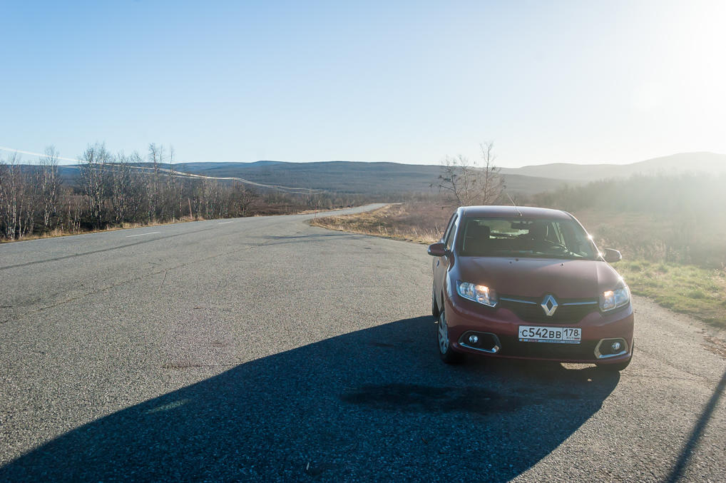
27. Another stop in the middle of nowhere.
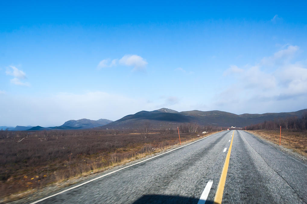
28. And the road finally heads towards the Scandinavian Mountains.
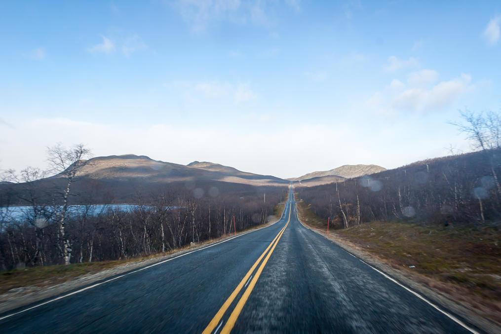
29. Kilpisjärvi border village is named after Kilpisjärvi Lake, visible to the left. The lake, rather a big one, is where Könkämäeno-Muonio-Torne rivers flow from.
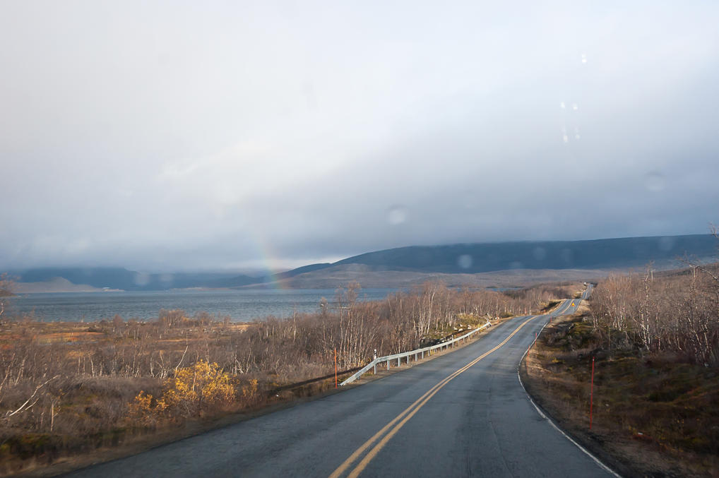
30. As I neared Kilpisjärvi, the weather, which had been very sunny before, took a turn to the worse. Heavy clouds covered the fells, and I drove through a brief shower. But then I got to enjoy the view of the rainbow above Kilpisjärvi Lake, with the Northern Lights Road rolling up and down hills covered with dwarf birch trees. I must say the Northern Lights Road is the most pleasant road I've ever driven so far. Of course when it comes to sheer scenic views Norwegian roads along fjords blow it out of the water, but Northern Lights Road is just so calm and peaceful and, well, Northern. When I returned from my vacation I set this picture as a background on my phone.
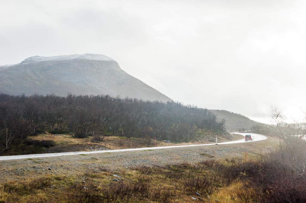
31. The rain returned and then turned into wet snow as I pulled into the parking lot of Kilpisjärvi nature center. I had no particular reason to go to the center itself; I just assumed hiking trails start from there. The trail to Treriksröset at least actually started from another parking lot, several more kilometers down the road. Still, I carefully examined all the numerous information boards.
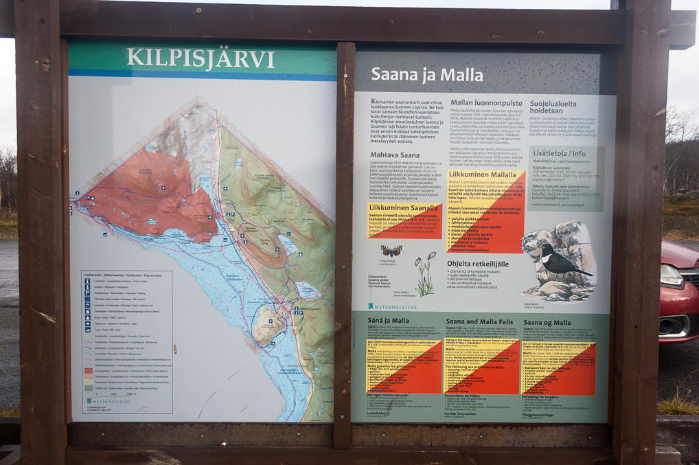
This particular board displays the map of Kilpisjärvi surroundings. The red line going from the bottom to the top is the Northern Lights Road, and the blue area is Kilpisjärvi Lake. Treriksröset, the Three Borders Cairn, is at the left corner of the map. The red area is Malla Strict Nature Reserve; Treriksröset trail passes through it. The text tells about Saana and Malla mountains, the largest mountains in the vicinity of Kilpisjärvi. Walking to Treriksröset would get me past Malla and its smaller cousin, Pikku-Malla.
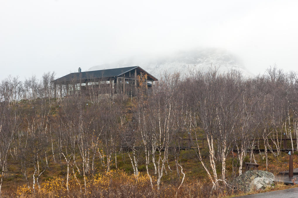
32. I took the picture of Kilpisjärvi nature center and then realized that a huge white shape loomed in the mist behind. I realized this must be Saana Mountain. Saana is the most accessible mountain near Kilpisjärvi; a 7 km trail goes to its summit, at 1029 m above sea level. The season was late enough that Saana already had a significant snow cap.
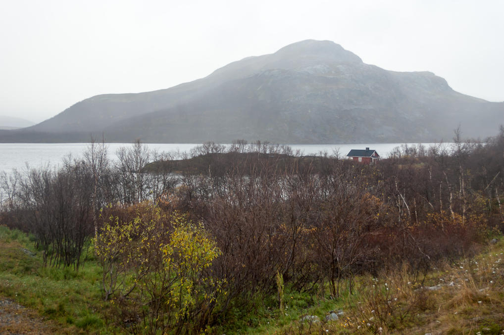
33. And behind Kilpisjärvi Lake, somewhat better visible, was Pikku-Malla Mountain. At 738 m it was apparently not high enough to get snow yet. There's a trail to its summit as well.
As I got back to my car, I checked the outside temperature. The car said it was just +3 °C, quite a bit lower than +8...+10 °C I had enjoyed in Äkäslompolo. Good thing I put on my woolen pants and took my winter boots along.
34. I drove through the tiny village, which has a population of about 100. Apart from tourist services it is notable for having a K-Market supermarket, Kilpishalli. I didn't visit it myself — I didn't even pay any attention to it — but it's a curious supermarket; about 70% of purchases there are made by Norwegians from the adjacent Norwegian municipalities. Norway is an enormously expensive country, much more so than even Finland or Sweden. While most Norwegians have fairly nice salaries to match, it's only understandable that given the opportunity they would save on groceries by driving to a Finland or Swedish supermarket.
The parking lot I needed was not very clearly marked, but still I found it on the first try. It was huge but nearly empty; only some motorhome was parked there. I shut down the engine and got out. To be continued.
