On the fourth day of my stay in Lapland I intended to make a very big drive followed by a very big walk. Thus on the third day of my stay in Lapland I decided to go easy on myself. After some planning with a map and on the Internet, I chose two destinations which didn't require a lot of walking: a small seida stone near Äkäsmylly water mill, and a huge seida stone at Äkässaivo lake. As the names suggest, both places are located near Äkäs river, upstream from Äkäslompolo.
Seida stones are the ancient Sami places of worship. They were used for animal and object sacrifices. The Sami had their shamanistic faith, focusing in particular on worshipping the dead and bears. They were converted into Christianity, somewhat forcefully, mostly in the 17th century. I wasn't all that interested in Sami faith, and chose these stones as destinations pretty much because of their location.
Both Äkässaivo and Äkäsmylly are located to the north of Äkäslompolo, in about 15 and 20 kilometers, respectively. So they required a little bit of driving. I decided to drive to Äkäsmylly first.
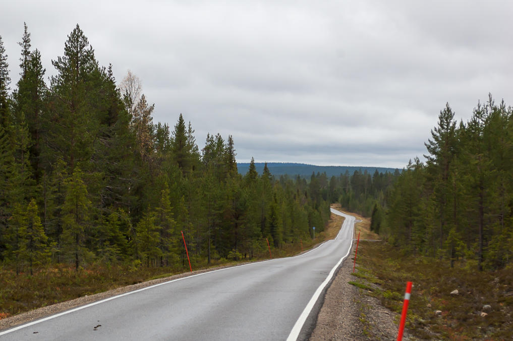
1. At about 2 PM I left Äkäslompolo, driving to the north on the same Regional Road 940 I used to reach it in first place. It turns out that in a few kilometers after Äkäslompolo there is a junction between Road 940 and a smaller road no. 9403 going to the town of Kittilä (the closest airport to Äkäslompolo); and immediately after this junction, there is a sign "Narrow road, 4 m". From there up to the end of Road 940 (it eventually joins Primary Road 79 Rovaniemi-Muonio) the road has pretty much just one lane.
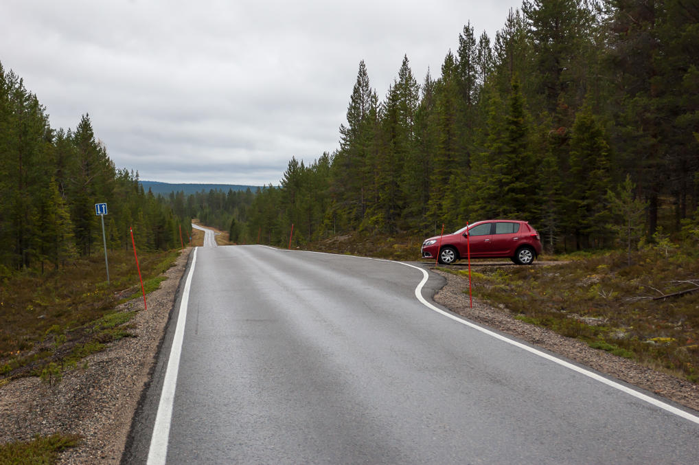
2. The road can still be used for driving in both directions thanks to meeting points, spaced several hundred meters across and marked with a sign with two white arrows on square blue background. Actually two cars driving in opposite directions in summer don't even need to use these meeting points; four meters is just enough for two regular-sized cars to pass each other, minding their width clearances and slowing down a bit. A truck or a bus or probably any vehicle in winter will still need to yield at a meeting point. The arrangement which I had only seen in the mountains (in Norway and Greece) before still makes sense here, as this part of the road is really located quite a bit out of the way, and its traffic amounts are very low, one car in ten minutes at most.
Honestly I'm not sure who actually has the right of way when two vehicles have to use a meeting point (and I tried hard to find the appropriate rules on the Internet). I didn't actually have to use them myself on this road. I guess you just employ some common sense and yield when in doubt. Parking in a meeting point is illegal, and when I decided to stop to take these pictures I had to use some imagination.
It's worth noting that the pavement quality on this road remains flawless. I have yet to find a poor Finnish road even as far north as Lapland.
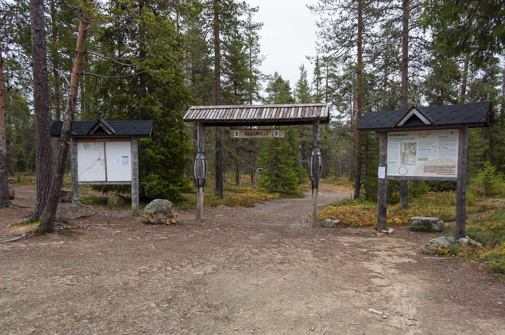
3. From a small parking lot by the side of Road 940, a short trail leading to Äkäsmylly (Finn. Äkäs Mill) begins. There was one or two other cars parked there.
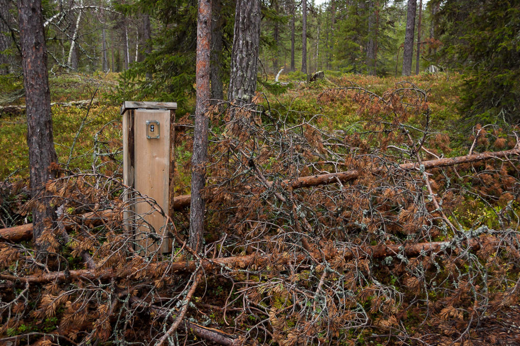
4. This wasn't the first time I saw a similar odd pole by the side of a trail. I guess it's some sort of sensor counting visitors.
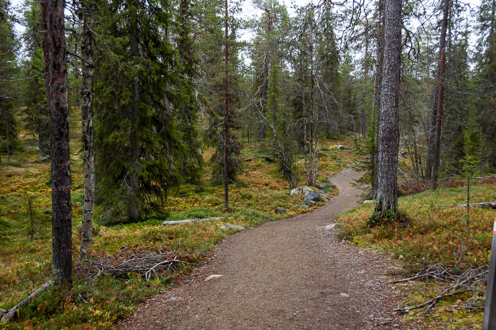
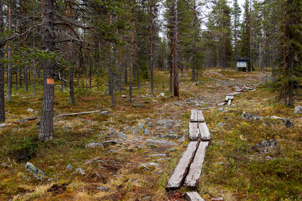
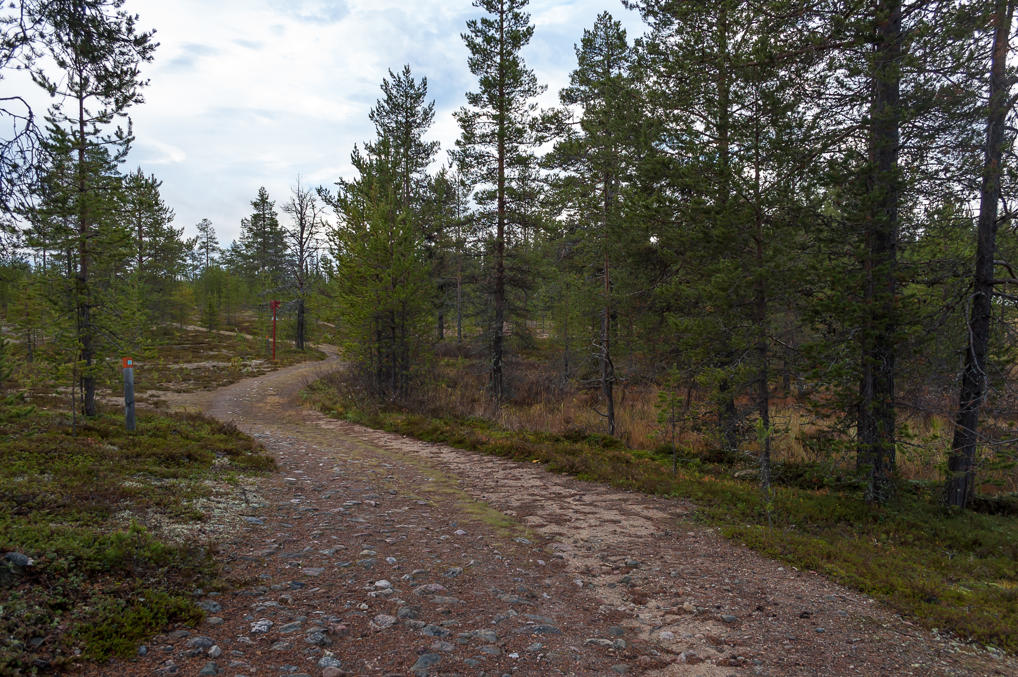
5. The trail through the forest is really rather short, at several hundred meters.
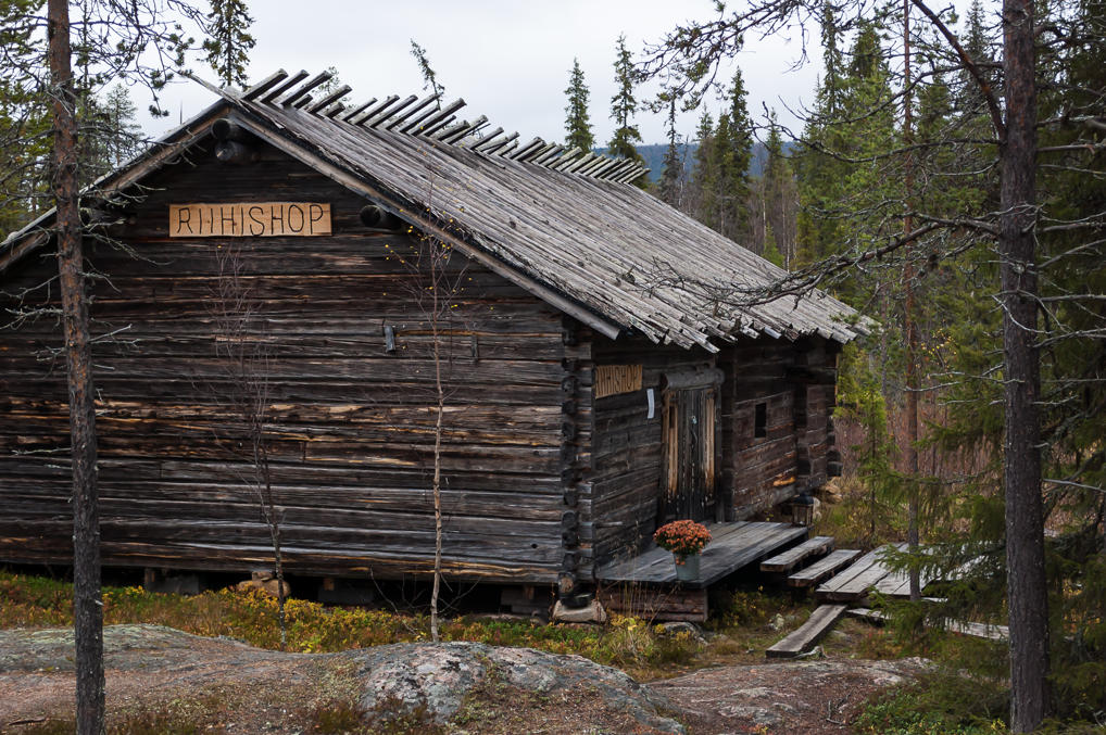
6. Surprisingly, there's a souvenir shop by the trail. It appears to be closed for the season.
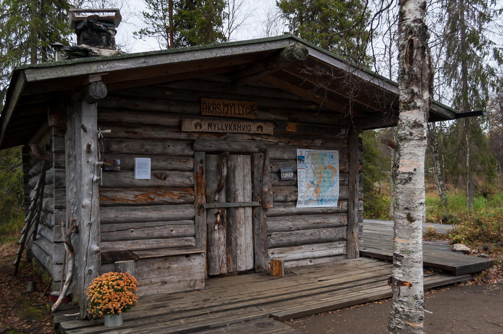
7. And a cafeteria as well. This one is definitely closed for the season. They even have a website but I couldn't quite figure out whether they open in summer or in winter.
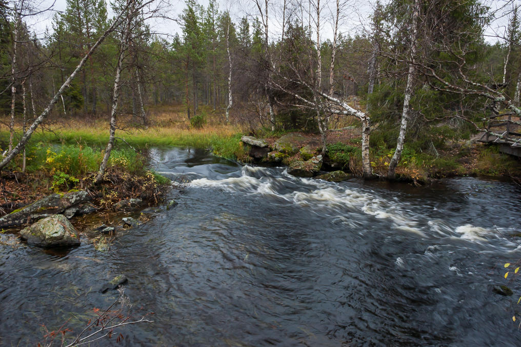
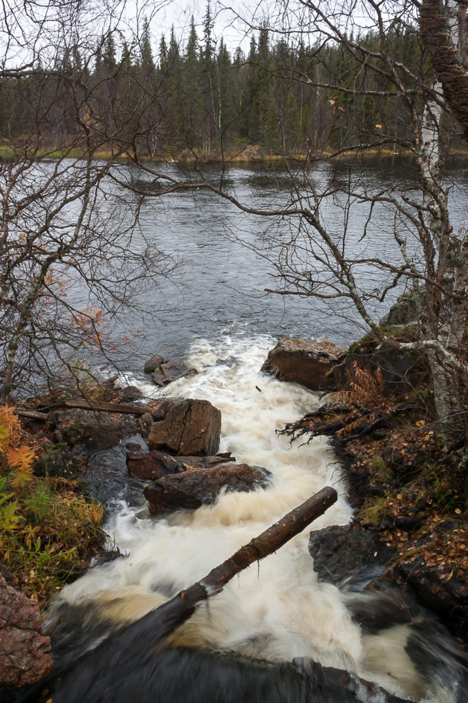
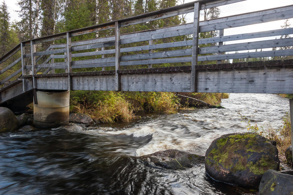
8. Then there's Äkäsjoki River itself. The old water mill is built on its rapids.
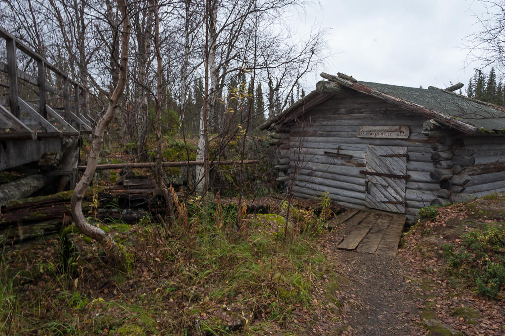
9. Here is the water mill building, by the pedestrian wooden bridge. It look unremarkable.
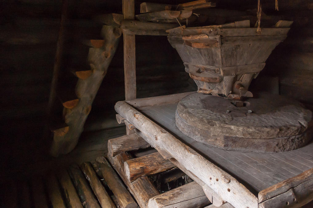
10. The door is not locked, and you can actually peek at the mill mechanism inside. It appears to be jammed, but otherwise looks very authentic. The grain was poured into the funnel, and the millstone ground it into flour. Or something.
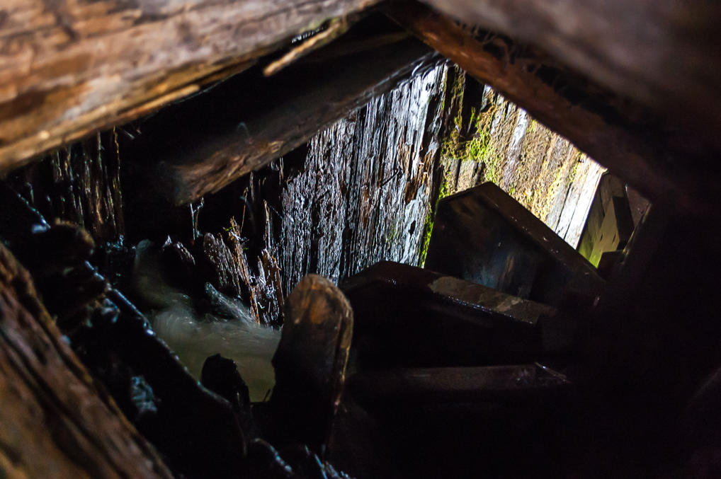
11. The actual water wheel rotating the millstone is also visible in the hole below.
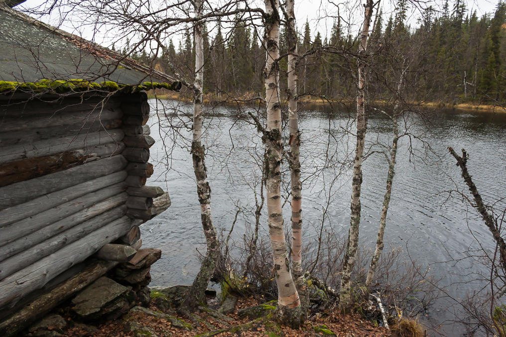
12. A small pond downstream from the mill.
13. Rapids near the mill, as seen from the bridge.
14. There is a laavu lean-to on the other shore (some Finns sat there drinking), and this is as far as most visitors go. The trails however continue on. One of them loops back to Äkäslompolo, and another goes to Seitakivi (Finn. literally Seida Stone), and then to Äkäskero Wilderness Lodge by its namesake fell. The distance to Seitakivi is about 3 km, so I walked on.
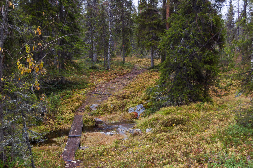
15. The trail went mostly through the forest, parallel to Äkäs River. For some reason the surroundings felt much more peopleless and wild than trails near Äkäslompolo, and I started thinking about bears. When I'm driving I'm afraid of moose, and when I'm walking I'm afraid of bears. Of course actual bear attacks in Finland and in Nordic countries in general are vanishingly rare. As far as I understood there was only one known fatal bear attack in Finland in the entire 20th century.
Still, I jumped a little when my phone rang in the middle of the forest. It was the manager from Lost in Lapland cabin rental company. She apologized and asked if they could come on the following day with a potential buyer of the cabin I was staying at. Of course that would have been awkward with me present. Still, I was planning a day trip (which actually ended up being a two day trip) so of course I didn't mind. I made sure to clean up after myself that evening, sweeping out fireplace ash and washing the dishes, and I took nearly all of my stuff along with me the next day. The sale however appears to be unsuccessful, as that cabin can still be rented, and in fact is listed for sale for €94,500. As far as I know this is a normal price for a small cabin at a Lapland resort, and more or less affordable for a middle-class Finnish family to buy as a summer, or rather, winter house (of course their single-digit mortgage rates make my mouth water).
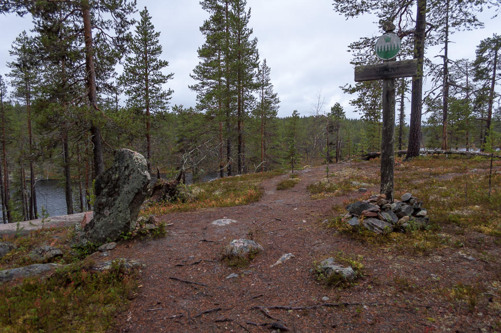
16. And here is Seitakivi stone (on the left), perched on top of a cliff above Äkäs. Honestly I expected something a big bigger. It looks more like a gravestone.
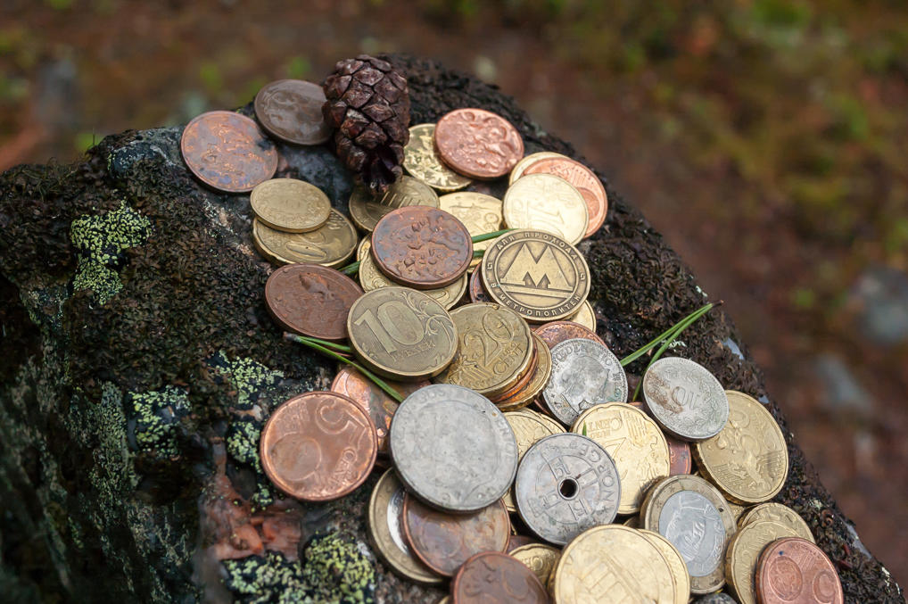
17. There was a variety of coins left on top of the stone for luck. Of course euros were most numerous, but there were also US cents, Norwegian krones, Swedish kronas, and Swiss centimes. Normally I don't like this throwing-coins-for-luck stuff, but seeing no Russian coins, I couldn't resist putting a ten ruble coin and a St. Petersburg metro token in the pile.
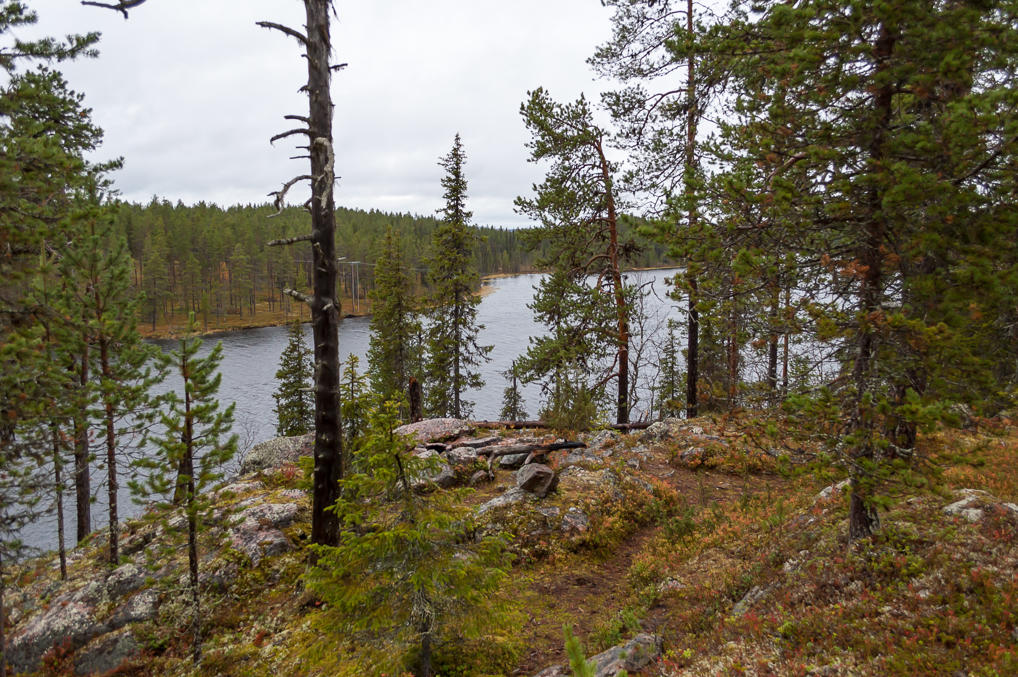
18. The place offered some nice views of Äkäs River. After enjoying them for a bit I headed back.
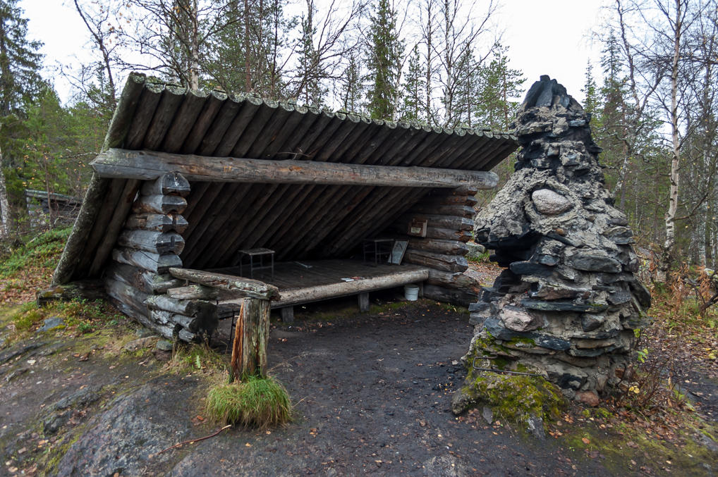
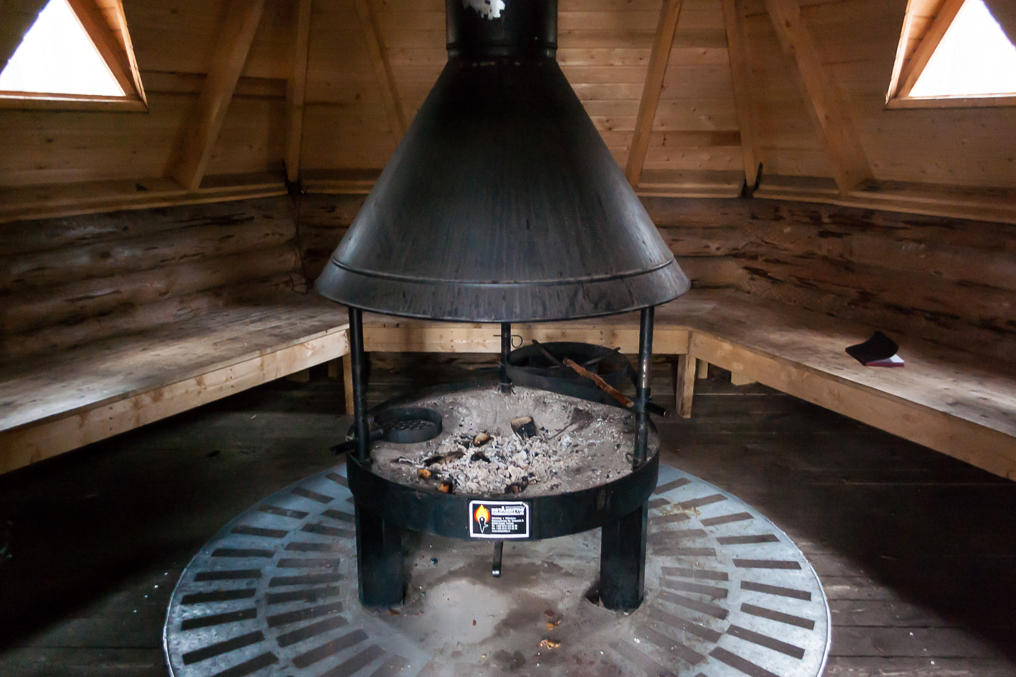
19. The laavu at Äkäsmylly was empty by the time I returned. It has a large oddly shaped fireplace, looking like some monster head.
20. I ate some snacks back in my car, and then drove to my second destination, which was located on a nature trail named Saivonkierros which means "Saivo Trail". Saivo is a Sami word for a very deep, supposedly bottomless lake, gouged by a glacier.
Saivonkierros trail is circular, starting and ending at a parking lot near a bridge over Äkäs on Connecting Road 9403, downstream from Äkäsmylly. It is 3 km long, and in its middle is Äkässaivo saivo lake, and a seida stone named Kirkkopahta. I'm used to brown "tourist attraction" road signs marking parking lots at trailheads, and nearly missed the parking lot which didn't have one, braking hard on a narrow empty road very similar to Road 940.
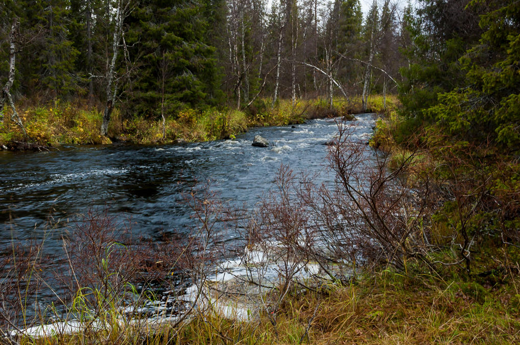
21. Äkäsjoki River is quite narrow here.
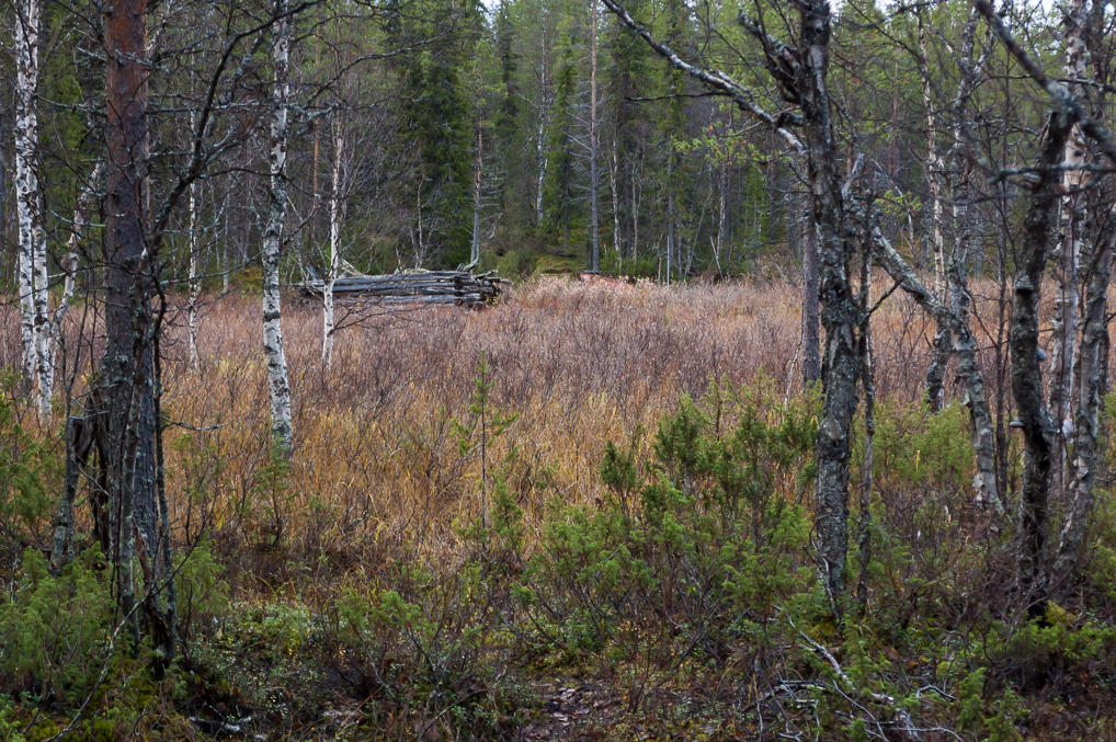
22. Ruins of some old barn. I think it was meant for hay; there was an information board which explained that. Otherwise you woundn't have even noticed it.
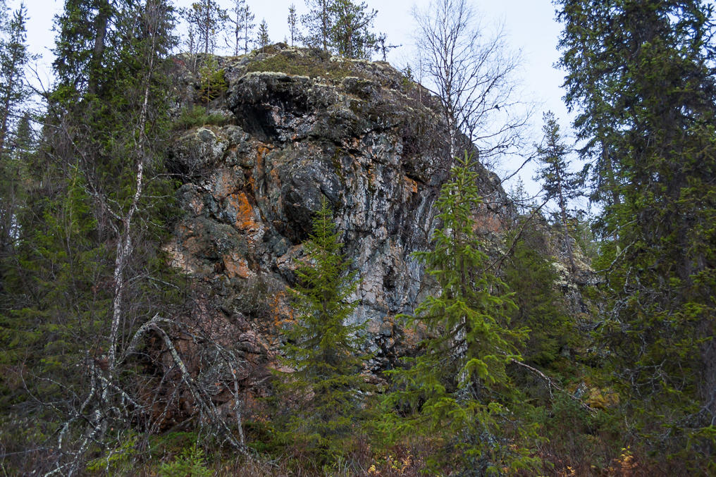
23. In contrast to Seitakivi, Kirkkopahta (Finn. Church Cliff) stone is downright huge, as large as an apartment block. You could say it looks a bit like a troll which was turned into rock, but I think Finns (or Sami for that matter) do not believe in trolls, unlike the Scandinavian peoples. I don't know if the size of the stone mattered for the Sami. Logically bigger should be better.
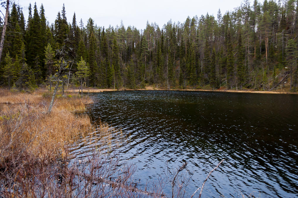
24. Kirkkopahta rock is located very close to the shore of Äkässaivo lake. The lake is small, and its water looks pitch black, but otherwise it's not particularly creepy or anything. I met an aged couple on the trail near the lake, and this time I remembered to say hello.
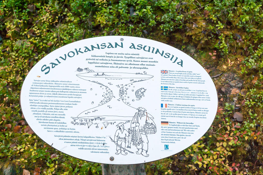
25. The information board shows the cross-section of a saivo lake, at least as far as Sami believed. They thought saivos were really bottomless, and if you dived very deep you would have emerged in a mirrored world of spirits. That idea does make the lake a little creepier.
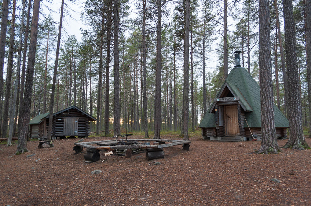
26. On the way back to the parking lot there is a conical kota type shelter. That was the first time I saw one.
27. It looks cozier than laavus but as I mentioned it would be tricky to sleep in. Although other kotas might be different. The log book also contained only entries in Finnish.
28. Walking back to the parking lot by the Äkäsjoki river. I ended up walking about 10 km on that day, which wasn't really a very short walk after all.
I didn't drive to my cabin right away. First I wanted to upload some photos and send one of the letters to my parents, using free Wi-Fi in Jounin Kauppas lobby. Actually I hoped I would be able to catch its signal right from my car from the parking lot, but there was no such luck and I spent half an hour or so on a couch in Jounin Kauppas. Then I went to K-Market for some grocery shopping; I still had enough instant noodles and the like, but my beer was running out. I bought some cider, six microwave burgers, microwave meatballs, some bread with Kalles Kaviar paste, and a few other things. Microwave burgers were particularly nice. For some reason we don't get them in our supermarkets in Russia.
I intended to go to bed early, but failed at that. The next day was the day of the Big Trip North (well, Bigger Trip North, to be precise). To be continued.
