On the west coast of Finland, at the Kvarken Strait of the Gulf of Bothnia, in the region of Ostrobothnia lies a city called Vaasa, or in Swedish Vasa. The sunniest city in Finland, and the most Swedish city of Finland. Its population is typical for a Finnish regional center, about 68,000. It is not a city foreign tourists visit often, save perhaps the Swedish ones, from just beyond the narrow sea.
For me Vaasa however is absolutely special, and far better familiar than any other Finnish city. Vaasa is the city where I spent my first 1.5 years in Finland, from December 2017 to June 2019. It is not a common choice for immigrants either. For foreign students maybe (there is a university in Vaasa), but not for work-based immigrants, and especially not for software developers like me. But I was lucky to find a job there in a small company, and even though the job was not very exciting nor paid particularly impressively, I still rather enjoyed it too.
Eventually however I was forced to move from Vaasa to Helsinki area to search for other jobs. I don't really like living there after my experience in Vaasa, and maybe one day I will return (although more likely I will move to some other smaller city but not actually to Vaasa). 2023: indeed I returned in the end! Living in Vaasa again!
In any case Vaasa will always hold a special place in my heart, and I have a lot to tell about it. I started writing this by going through my photo archives and picking everything that could be relevant, and I came with about 750 pictures. Of course I will not use them all here, but we'll see how it goes. Hopefully with Vaasa I can also start writing what I really like, which is the great guide into the glorious country of Finland.
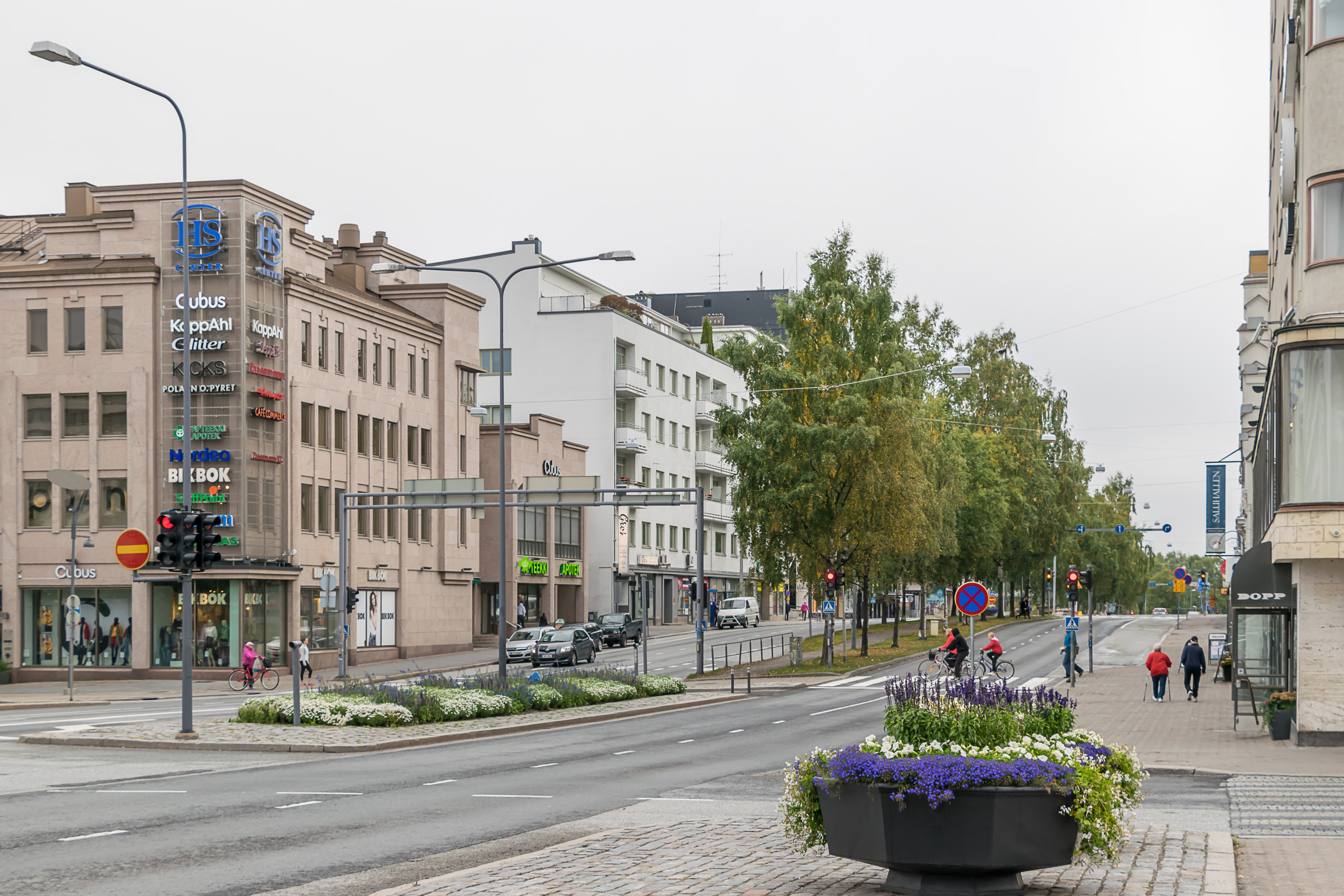
Mind you, Vaasa is a fairly ordinary Finnish city. But it's a great place to live in, and also, unlike some new Finnish cities (for example, Vaasa's neighbor and rival Seinäjoki), there are bits of interesting older architecture and local history hidden here and there pretty much everywhere. Overall I hope this and the later posts can be a real look into what, let's say, second-grade Finnish cities look like.
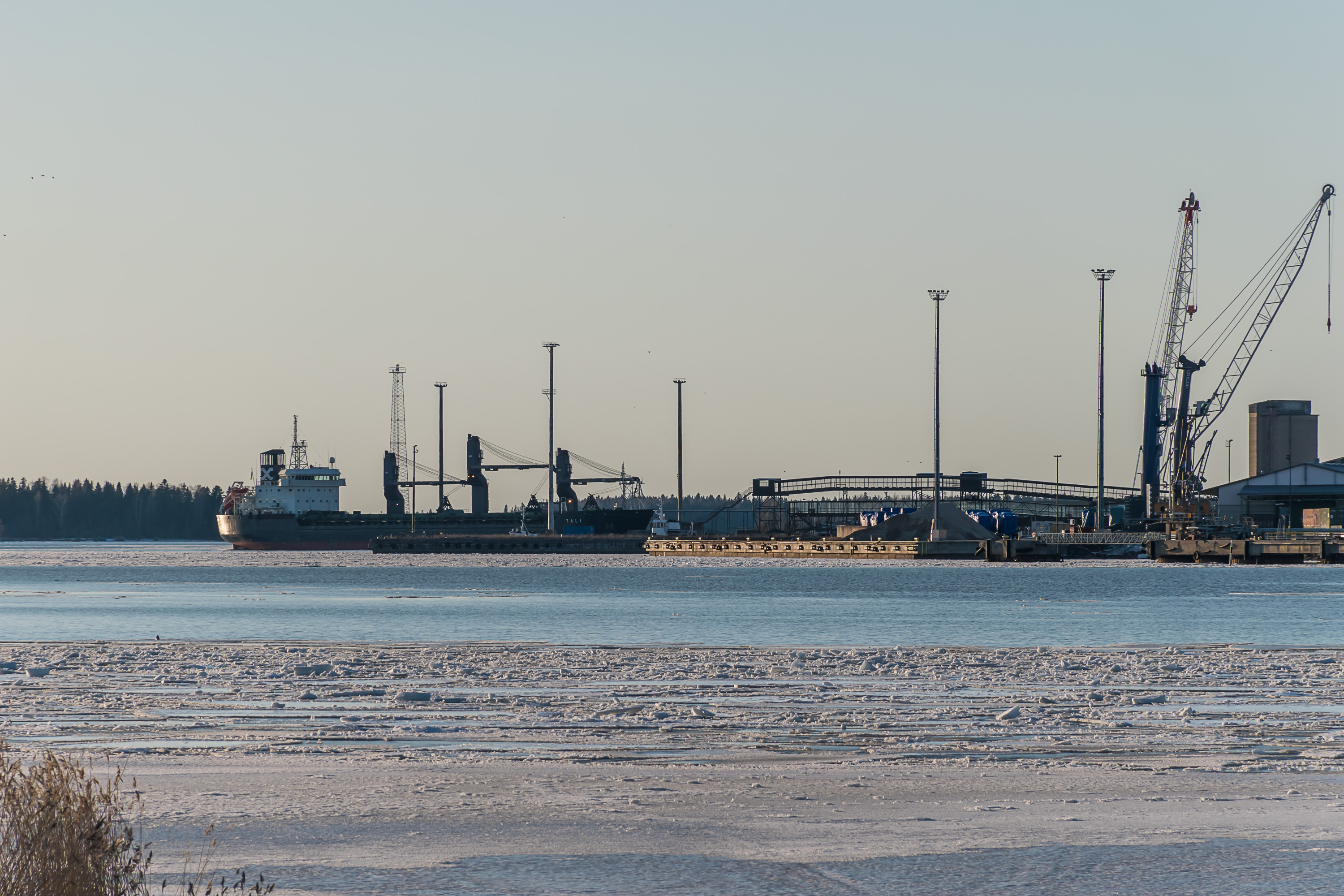
Vaasa lies in a corner of the Finnish mainland, at a latitude where Finland is the widest. There is a lot of sea around Vaasa, but from the city itself it looks more like a lake. The city is sheltered from the open sea and Baltic storms by the Vaasa archipelago, of small islands with no permanent population and only summer residences. The exception is the island of Vaskiluoto (Finn. Copper Island), which is an area of Vaasa connected to it by road and containing, among other things, the Vaasa seaport.
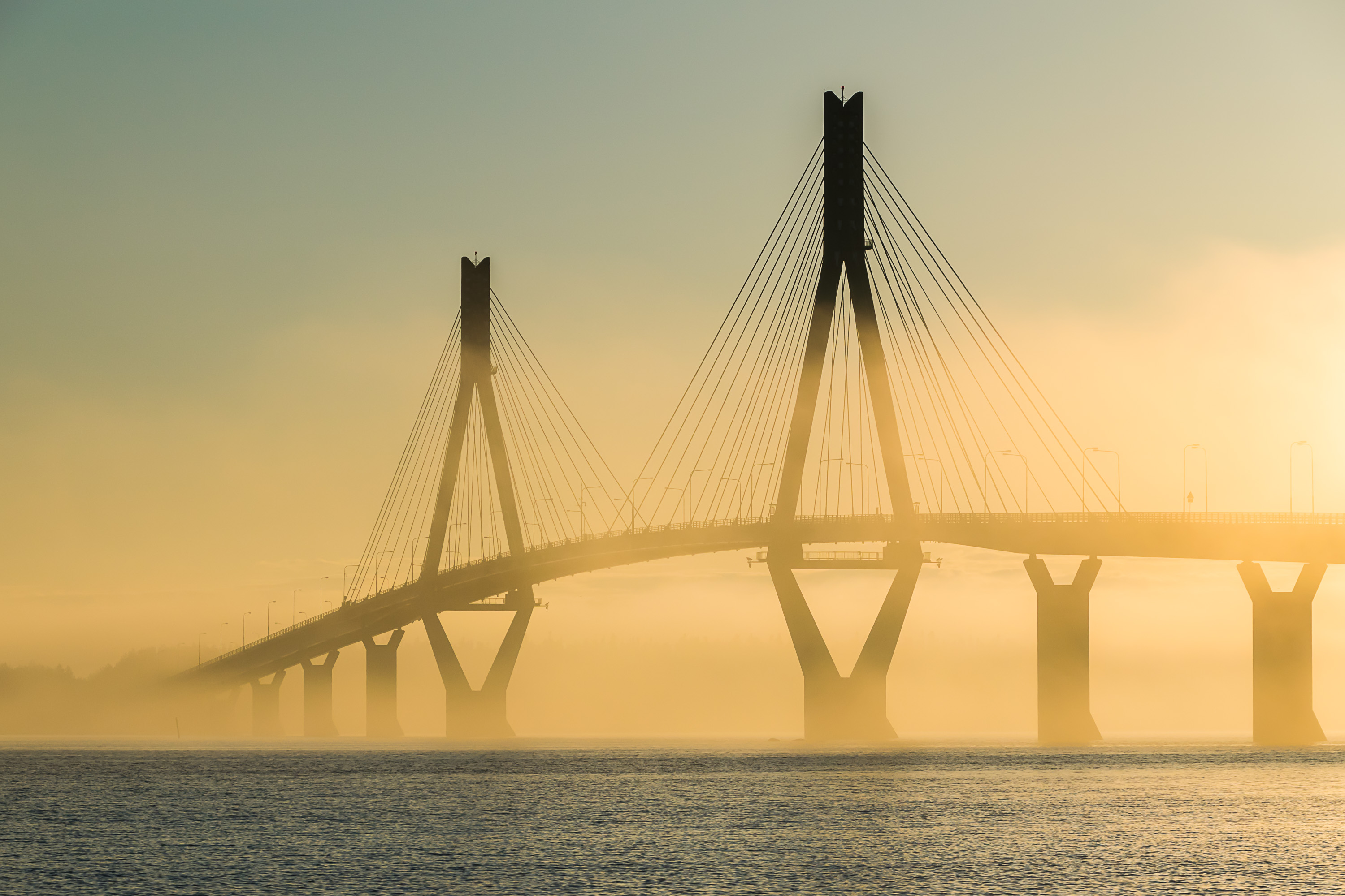
The more famous archipelago lies in about 15 km northwest of the city. This is the Kvarken, or Replot archipelago. Its main islands, Replot and Björkö, are fairly large, thus Kvarken archipelago is populated (about 2000 residents) and linked to Vaasa with a bridge, which is actually the longest bridge in all Finland at the moment.
"Kvarken" is a Swedish name, and it means "throat". The lesser known Finnish name for the same sea area, Merenkurkku, means almost the same thing, "sea throat". It refers of course to the fact that it is the narrowest part of the Gulf of Bothnia that divides Finland and Sweden. The distance between Vaasa and the Swedish city of Umeå on the other side of the sea is somewhat over 80 km as crow flies. Both Finnish and Swedish coasts have sizable archipelagoes, and the distance between the closest Finnish and Swedish islands is only 25 km.

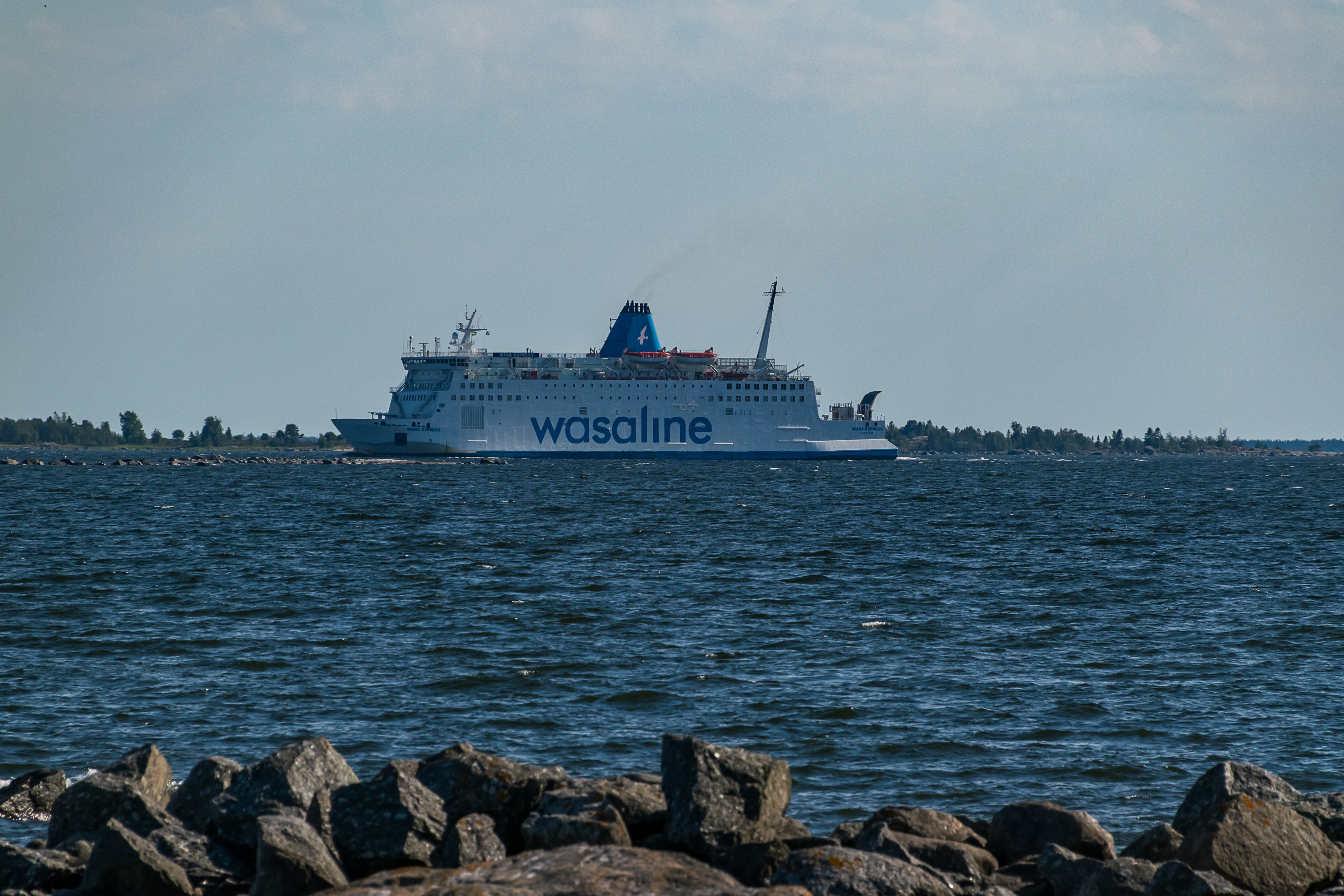
Vaasa and Umeå are linked by a ferry, the Wasa Express of Wasaline. It is currently the only international cruiseferry in Finland not departing from Helsinki or Turku (or Naantali which is near Turku), and is relatively poorly known outside Finland and Sweden. 3.5 hours on Wasa Express, with your car or not, can take you to Swedish Westrobothnia, an area completely different from Finnish Ostrobothnia where Vaasa is.
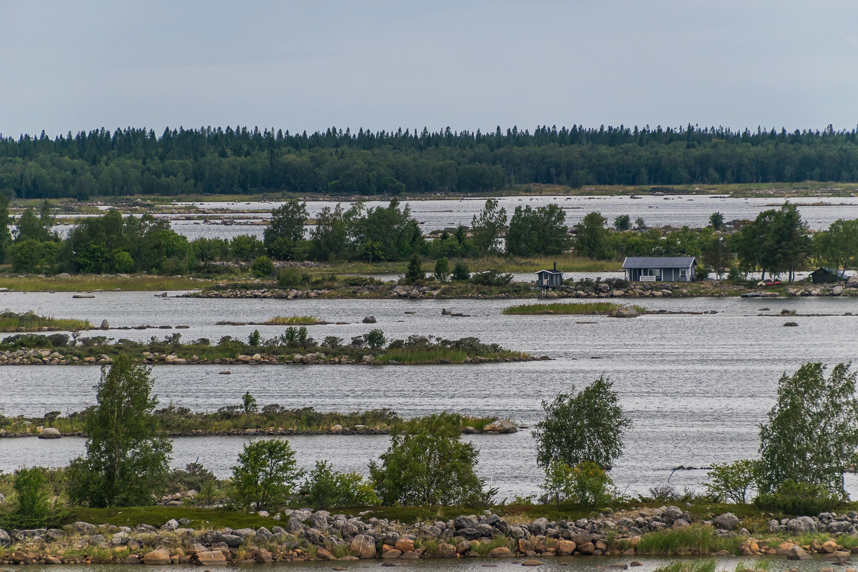
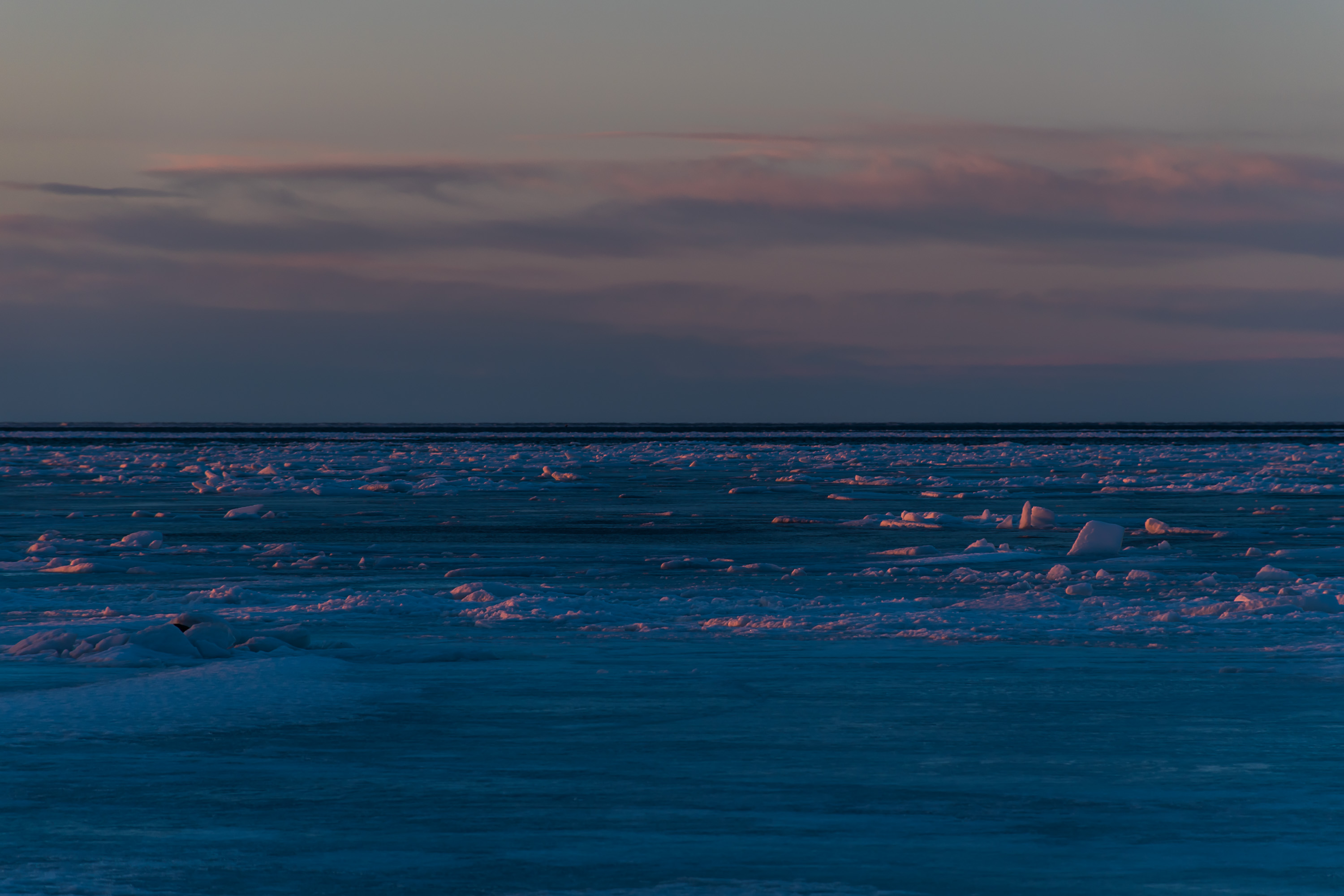
The most notable thing about Kvarken area is however the postglacial rebound going on here. Most of Finland and Scandinavia was covered by a vast ice sheet in the last ice age, relatively recently by geological standards, about 12,000 years ago. The ice sheet was heavy enough to physically push down the entire Earth crust below it. Since the ice sheet melted, the crust has been springing back into place, and this process is still ongoing today. The postglacial rebound has greatly affected the geography of the Baltic Sea and of Finland. For example, since the rebound has been happening unevenly in some areas, many Finnish rivers actually reversed their directions within the last 1000-2000 years. Kvarken area is where the rebound is happening the fastest, at 9-10 mm per year. That is why the archipelagoes were declared a UNESCO Natural World Heritage site, so far the only such natural site in Finland (although there are some more historical sites). The archipelago land area grows at a rate of about a square kilometer per year. Eventually the entire Kvarken will rise from water and form a natural land bridge to Sweden, in about 2000 years more. The Bay of Bothnia (the northern part of the Gulf of Bothnia) will then turn into a great lake.
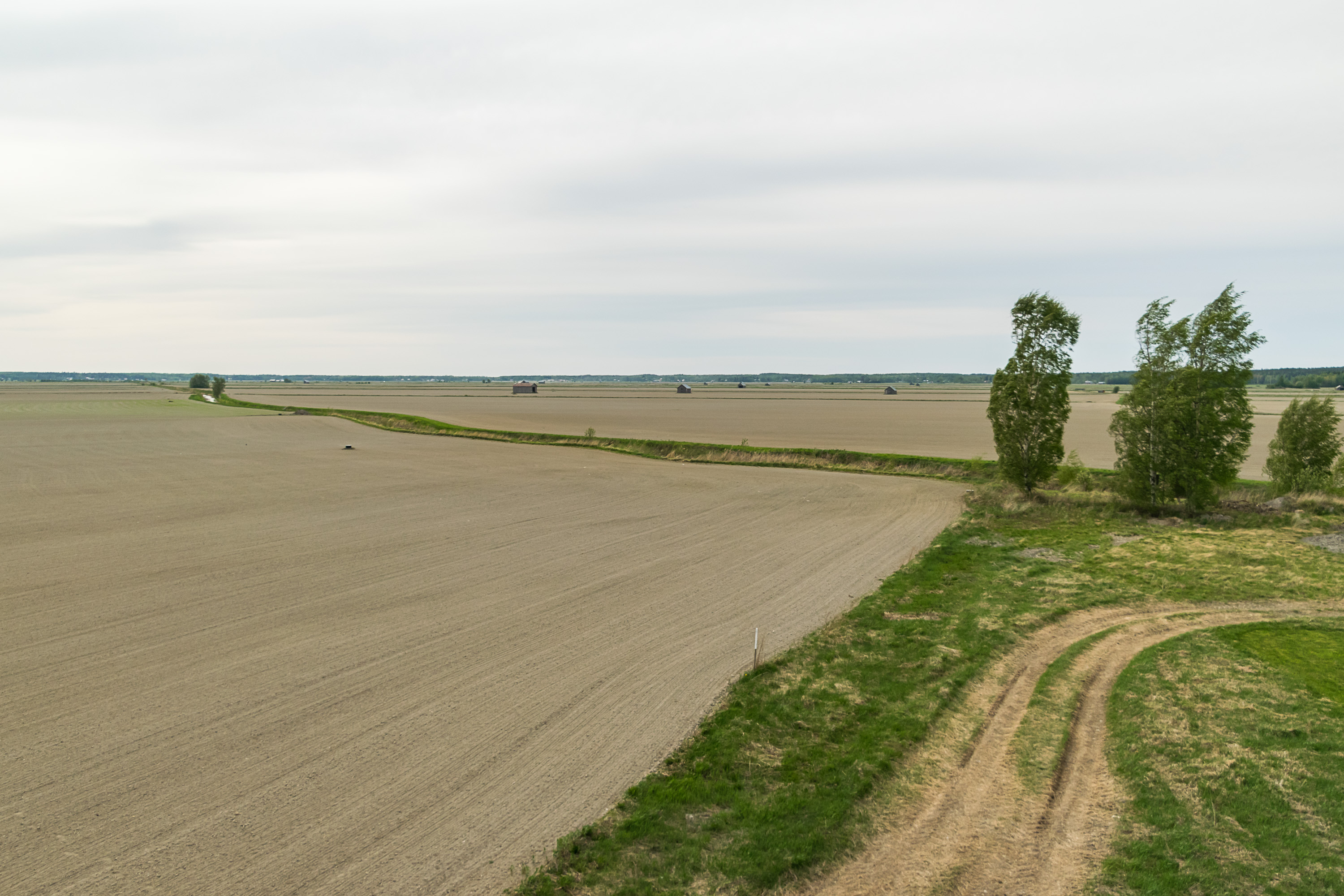
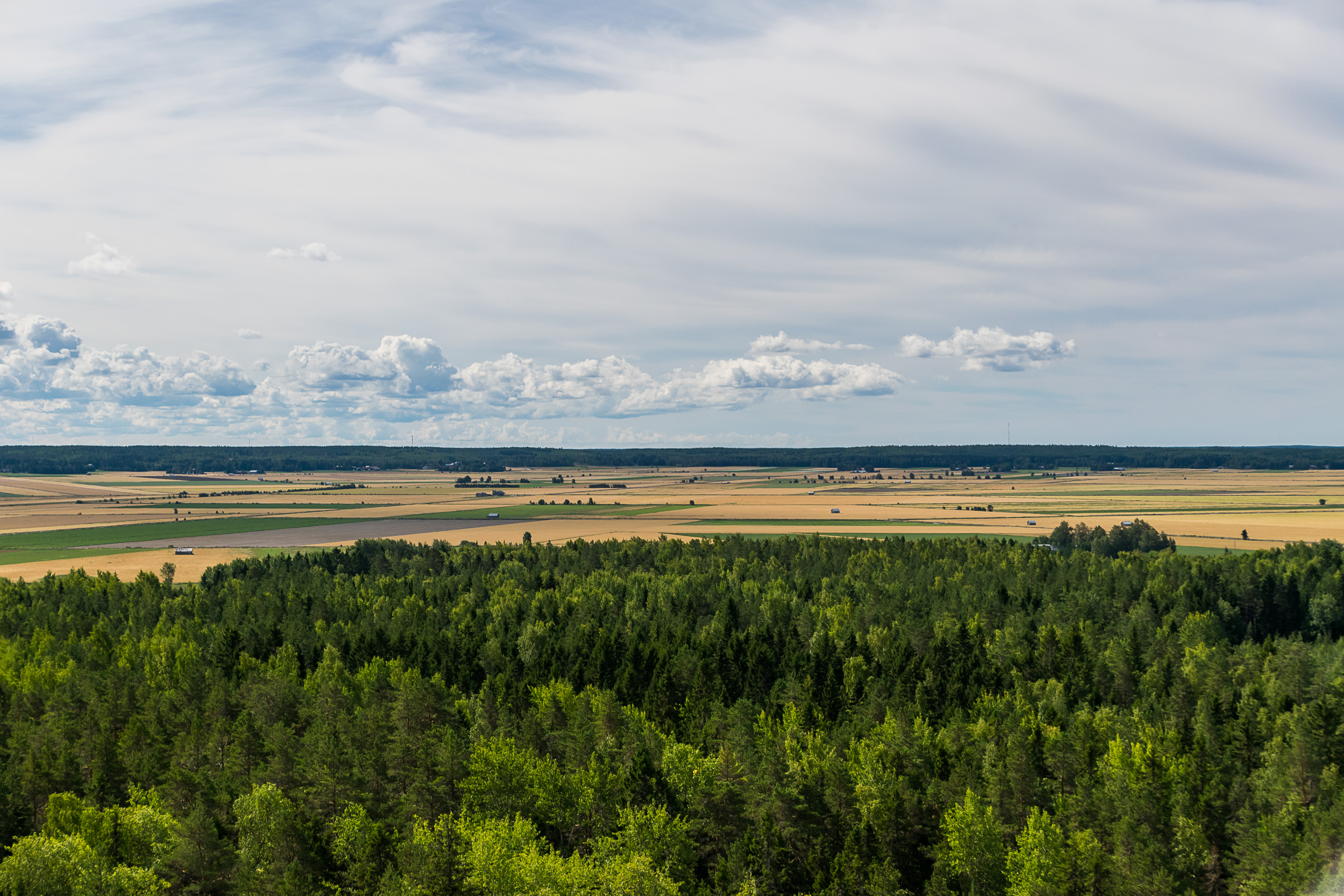
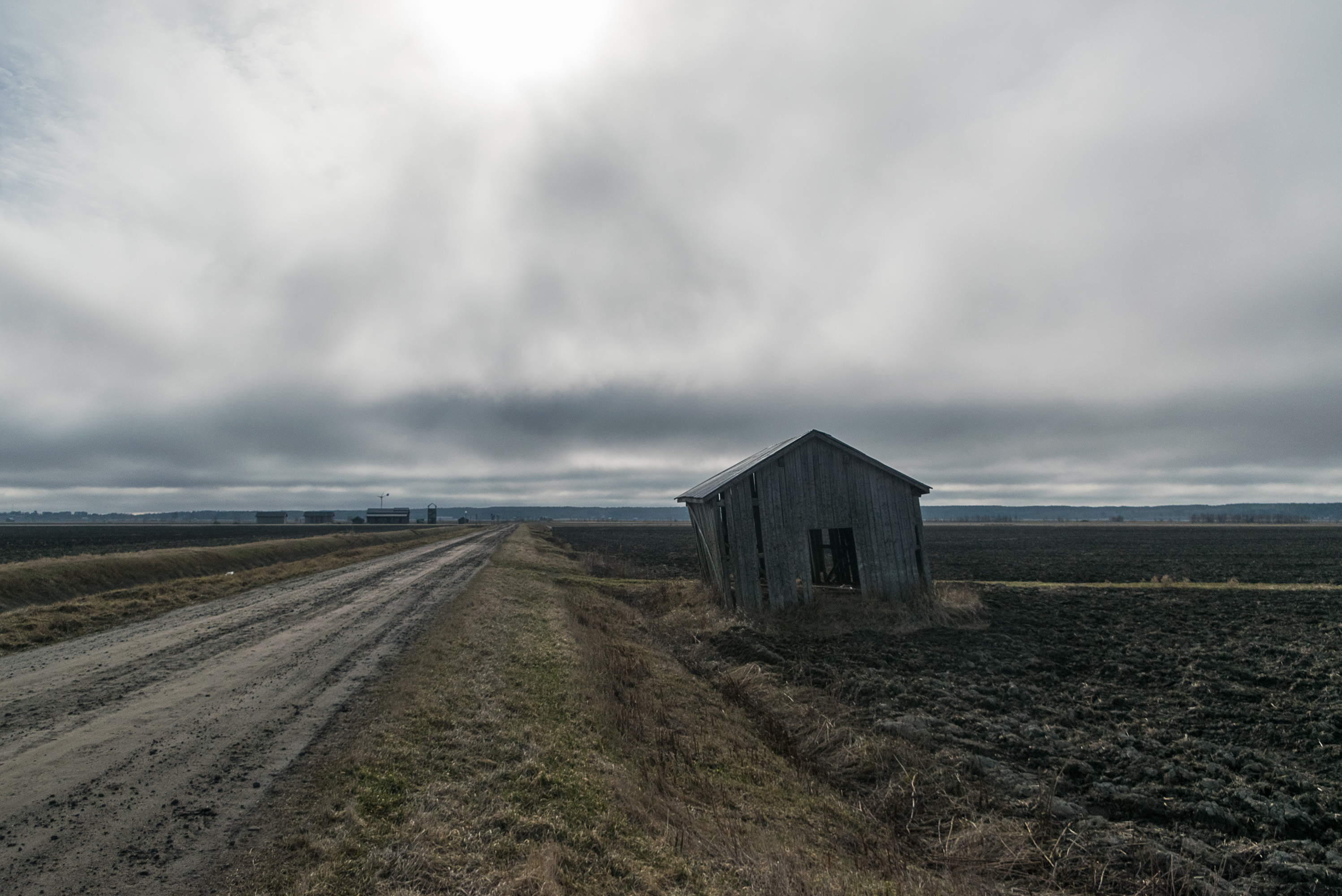
The word Ostrobothnia, which of course means "east of Bothnia" and comes from Swedish Österbotten, originally referred to a quite vast and thinly populated area, along the northeast coast of the Gulf of Bothnia, starting somewhere south of Vaasa and ending as far north as Kemi. The Finnish name for it is Pohjanmaa, "bottom/northern land". Many cities were established on the Ostrobothnian coast for trade, of which Vaasa eventually grew the second biggest, after Oulu. The inland areas, however, did not have any official cities at all until relatively late in the 20th century. The inland was not uninhabited, just deeply rural. Ostrobothnian population spread from the coast, following valleys of numerous mid-sized rivers, flowing from the southeast to the northwest into the Gulf of Bothnia. The valleys were wide, flat and fertile, and the agriculture on these plains, known as lakeus in Finnish, created a landscape of vast fields which to this day is rather unique for Finland, where large unbroken field areas are mostly rather rare. Between the valleys and deeper inland, where the rivers took start from, was a forested, boggy wilderness, erämaa. People went there to hunt and to harvest resources such as tar. Nomadic tribes, the lappalaiset, consisting of Sami and Finnish people alike, roamed the wilderness and lived there. Eventually however pretty much all of Ostrobothnia was settled. Forests and bogs still exist, but nearly all forests are commercial and grown for timber, and many bogs were drained or are used for peat harvesting.
The rural inland Ostrobothnian population has always been Finnish, although it was not native for these lands, coming from Savo and Häme areas since 11-12th century. Quite soon however new settlers arrived to the coast, and they were Swedish. They came in the 13th century, when Finland was being joined to Sweden, and probably pushed back the Finns to some extent. It is not correct however to assume "Swedes = master race, Finns = servants"; the settlers were just regular peasants not really different from the native Finnish ones, and there was has never been a legal difference between Finnish and Swedish people (and the Finnish people could and did become also priests, nobility and officials). Indeed, the concept of "Finnish people" and "Swedish people" did not really exist as such. If anything, Finnish people rather thought of themselves as "Savonians" or "Tavastians" (Häme people) or "Karelians"; some shared Finnish identity emerged only much, much later.
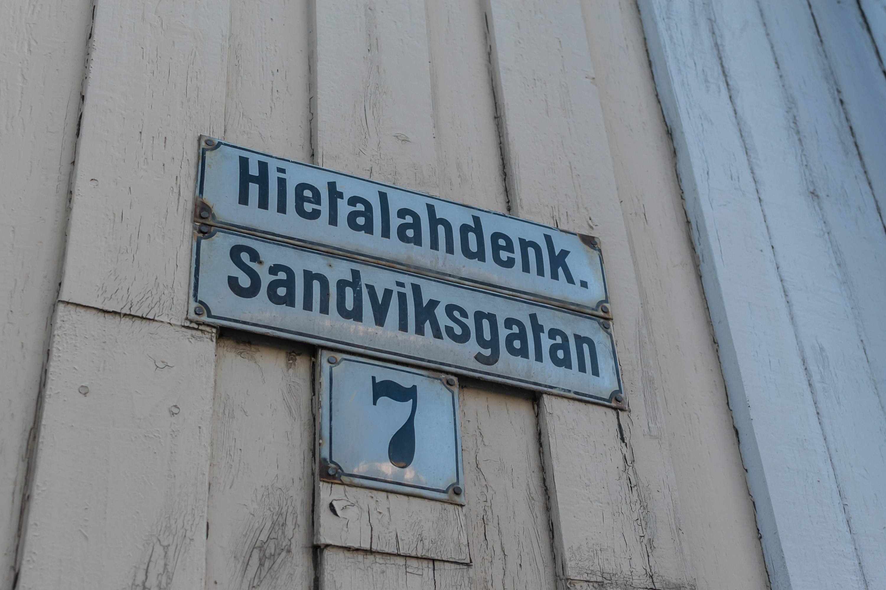
But anyway, ever since then Swedish-speaking population has always been a crucial part of Coastal Ostrobothnia. It is not really correct to refer to them as Swedish these days, since they've been here since the Middle Ages, and most of them have no real ties to Sweden proper anymore; they're Finnish-Swedish. Although they settled on the south coast of Finland as well, there the population hasn't been so concentrated. Ostrobothnian Finnish Swedes on the other hand have a very sharply defined settlement area border to this day. Vaasa, as a major city, is only 1/4 Swedish speaking, but smaller Coastal Ostrobothnian cities have a Swedish majority, and rural areas are almost exclusively Swedish-speaking, with even rather exotic and archaic dialects found in certain areas. Swedish is the second official language of Finland to this day, completely equal to Finnish by law, and bilingual areas have state and municipal services provided both in Finnish and in Swedish. In Vaasa, for example, there are even Finnish- and Swedish-speaking universities and theaters existing side by side.
The mostly Swedish-speaking strip along the Bothnian coast forms the modern Ostrobothnia Region. These days there are four Ostrobothian regions (maakuntas): North Ostrobothnia (Pohjois-Pohjanmaa), Central Ostrobothnia (Keski-Pohjanmaa), South Ostrobothnia (Etelä-Pohjanmaa), and then, confusingly enough, just Ostrobothnia (Pohjanmaa), this Swedish-speaking one with Vaasa as its center. It can be also referred to as Coastal Ostrobothnia (Rannikko-Pohjanmaa), which we will do from now on for clarity. Coastal Ostrobothia has the closest relations to the Finnish-speaking and deeply rural South Ostrobothnia, which is just a little way inland from it.

The only rural Finnish-speaking population in Coastal Ostrobothnia lives in Kyrönmaa area, in the valley of the Kyrö River (Kyrönjoki), in Vähäkyrö and Isokyrö, and also in Laihia nearby. The small Vähäkyrö Municipality was merged to Vaasa in 2013, although it did not actually border Vaasa, and thus formed its exclave after the merger. Vähäkyrö isn't really related to Vaasa all that much and would be better explored some other day along with the rest of Kyrönmaa, so we will not talk about it here.
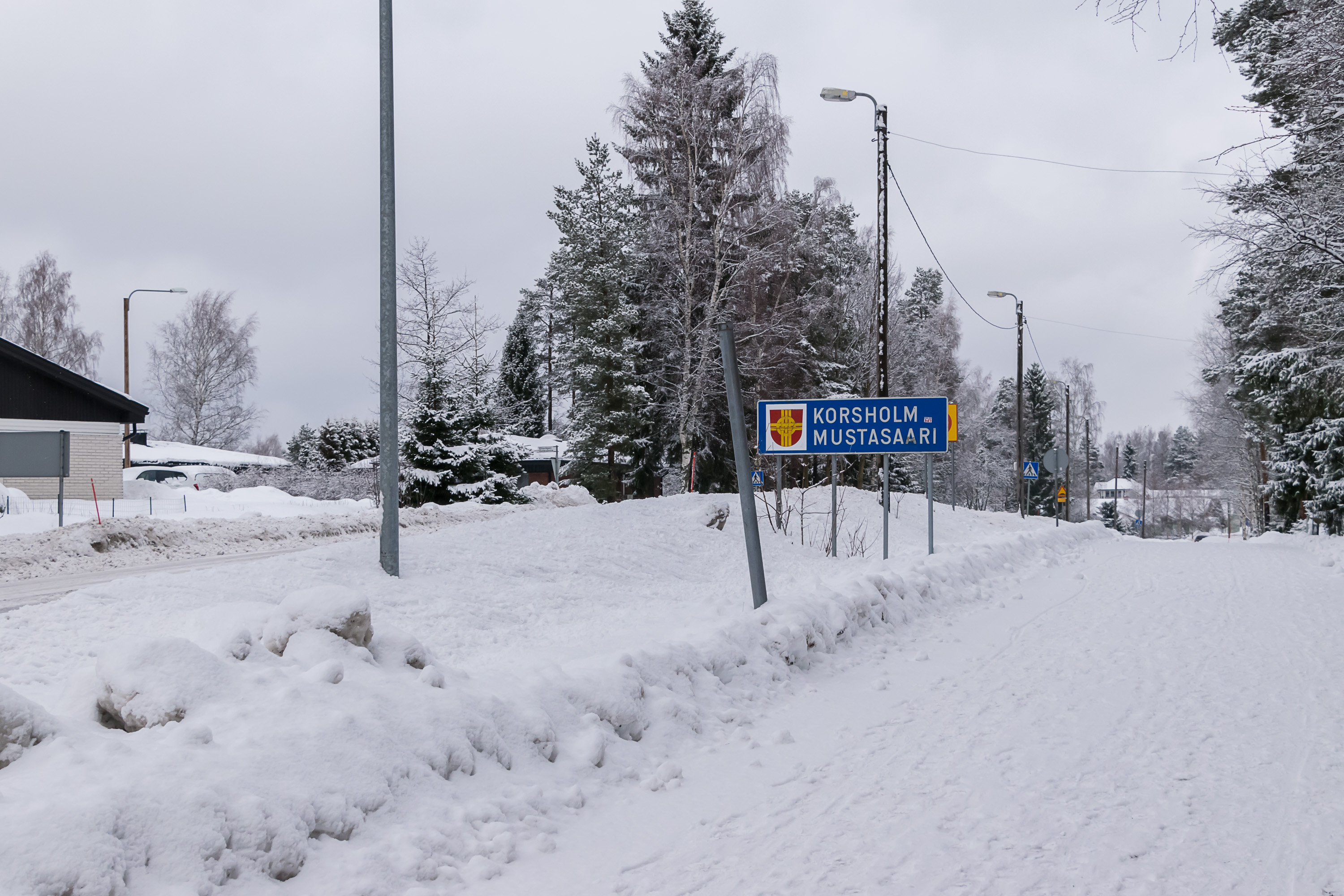
We, however, will talk about the rural municipality of Korsholm, or in Finnish Mustasaari that surrounds Vaasa proper almost completely. The mostly Swedish-speaking Korsholm includes some village of note like Solf and Smedsby, and also, more importantly, the entire Kvarken Archipelago mentioned before. In places Vaasa built-up areas just blend into Korsholm, with just a sign telling you that you're actually no longer in Vaasa.
Mustasaari (Finn. Black Island) was the original name of the area where Vaasa was later founded. It is not really clear which particular island the name referred to, and by now it has been joined to the mainland by postglacial rebound anyway. The original Swedish name for the area was just a mangled version of the Finnish one: Mussor. In the 1370s however a Swedish castle was built in Mussor under the name of Korsholm (Swed. Cross Island), also known as Chrysseborg, and marked the first seat of power of Sweden in Ostrobothnia. It was not a very big or impressive seat of power, though; just a small fortress of earthworks and wooden fortifications. No descriptions or paintings of it are known, so we don't even know what it looked like. At one point it was even occupied by the Victual Brothers, a Baltic pirate guild. Nonetheless the entire Ostrobothnia, known then as Korsholm Castle Province (Korsholman linnanlääni), was administered from there. The small castle eventually became derelict, and by the time the city of Vaasa was founded in the same place, not much probably was left of Korsholm. (The name Korsholm was adopted as the Swedish name for Mustasaari only much later in the 20th century, as a memory of the castle.)
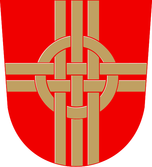
And Vaasa was founded in 1606, by the order of Swedish king Charles IX. The yongest son of the great Gustav I Vasa, Charles gave the new city the name of his dynasty, and also its coat of arms, with the "vase" that actually looks more like a wheat sheaf. A year earlier he founded Oulu, and both Vaasa and Oulu (in modern Northern Ostrobothnia) remain the most important Ostrobothnian cities to this day.
Oulu and Vaasa share some similarities in their history, like how their original castles didn't survive, or how their major claim to fame for centuries had been tar trade. Tar had long been the most important natural resource of Finland, its "black gold". The thick black smelly substance was used to make wooden constructions waterproof, and was irreplaceable for shipbuilding and also used for roofs etc. Finland, with its thin population and vast wilderness areas full of pine forests, was perfectly suited for tar burning. Tar-burning pits were made in the forest, and pine timber was stacked there, covered with moss and lit up in the middle. The wood slowly pyrolyzed and tar flowed out. Wooden barrels were filled with tar on the spot, and then shipped to seaports, usually by river. Vaasa and Oulu were exactly such seaports. In the end, Oulu had more renown as a tar trade center and grew much bigger than Vaasa; by the time tar demand reached its peak (in the 19th century), South Ostrobothnia was already relatively thickly populated, and there weren't many wilderness areas suitable for tar-burning. But then of course people started building ships of iron rather than wood, and the whole tar industry became obsolete overnight.
The growth of Vaasa and other Ostrobothnian cities was still hampered for a long time because, unlike Turku or Vyborg, they did not have staple rights, which meant that they could not carry foreign trade on their own. Everything had to be shipped to Stockholm first. Vaasa, Oulu, Pori and Kokkola, the four main Bothnian cities, got these rights only in 1765-1766. This is probably a major reason why these cities didn't grow very big, but Finnish cities were mostly extremely small and unremarkable until the 20th century in general. For example in 1752 only 1222 people lived in Vaasa.
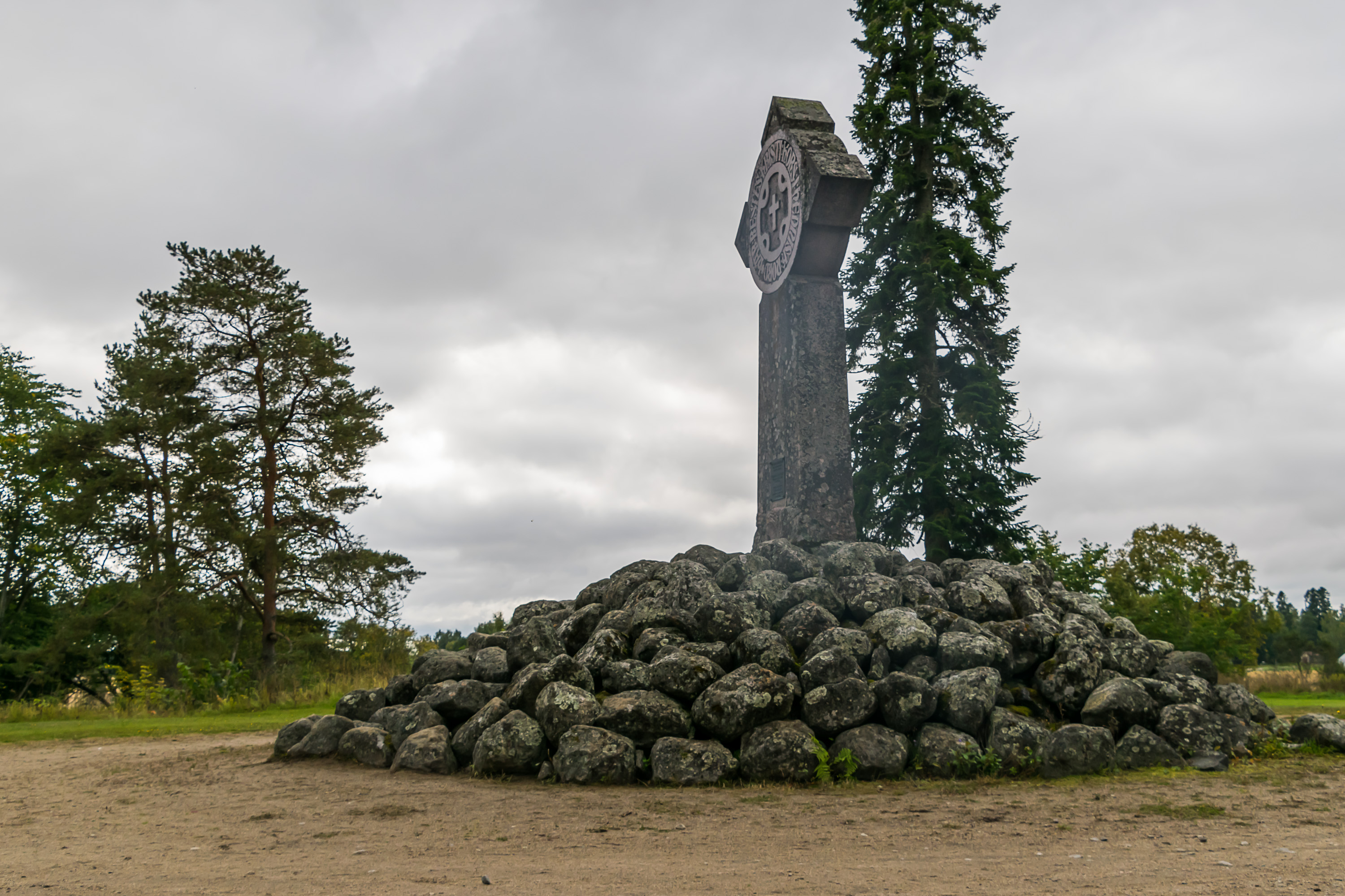
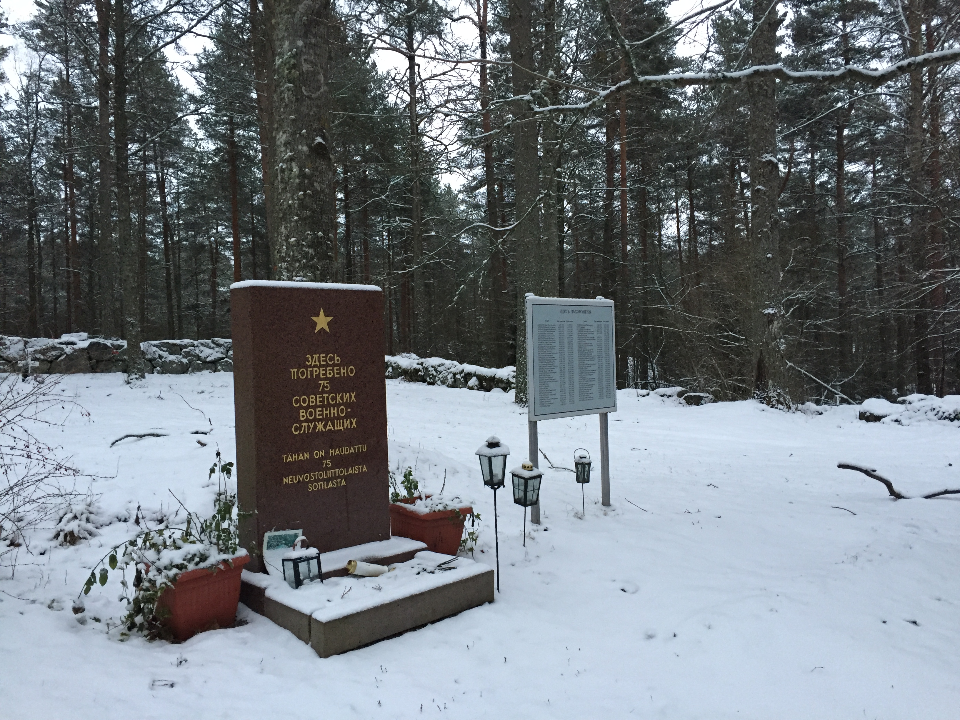
Ostrobothnian lands were grounds for some decisive battles of the Great Northern War of 1700-1721 and of the Finnish War of 1808-1809. The Great Northern War was particularly catastrophic for Finland, when the country, still of course a region of Sweden at the time, was forced under long and cruel Russian military occupation, known also as the Great Wrath (isoviha) years. The Battle of Napue, sealing Finland's fate, was fought in Isokyrö, some tens of kilometers southeast of Vaasa. The Finnish War was not nearly as destructive, although one of its battles was actually fought in Vaasa, and the city was sacked by Russians in retribution. The decisive battle of this war was the Battle of Oravais, about 50 km northeast of Vaasa. At the end of the war Russian army actually marched to Sweden across the frozen Kvarken Strait, a rather unique feat in history. The war finished with the entire Finland being ceded from Sweden to Russia, which in the end was even beneficial for Vaasa, as the last trade restrictions disappeared at that time.
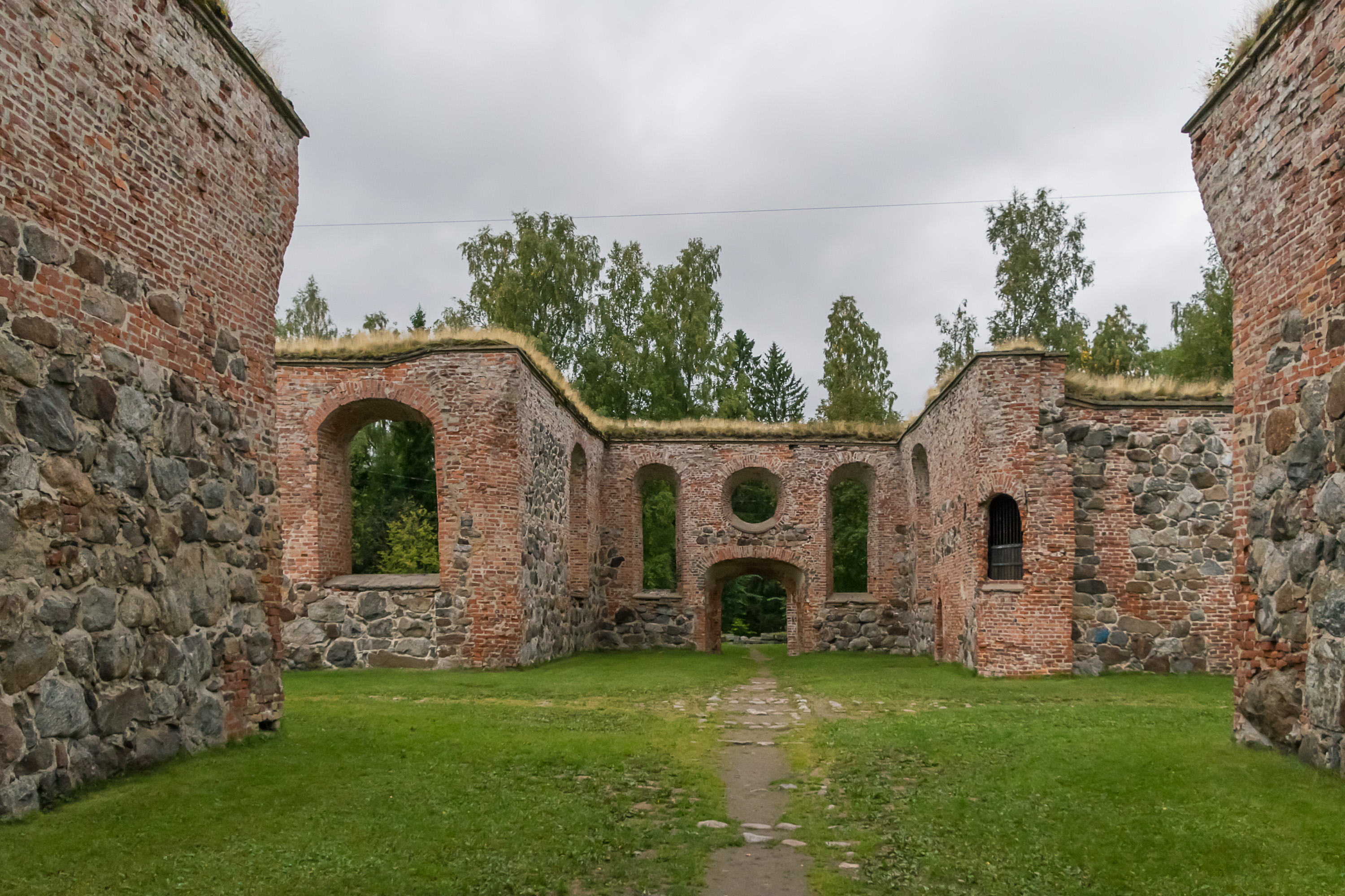
The city burned down almost completely in 1852, which was a completely unexceptional event for small and almost entirely wooden Finnish cities on the time; many of them burned down entirely multiple times over their history. The Vaasa fire of 1852 was however significant, because the city was moved to a new place afterwards.
The reason was, yet again, the postglacial rebound. Since in the Gulf of Bothnia it results in the lowering of the sea level, many Bothnian cities had to move their harbors over centuries, sometimes multiple times, as old harbor places became too shallow. By the 19th century this was the case in Vaasa as well. The old harbor near the city was unusable, and a canal built there wasn't helping much either. By the time of the fire the main harbor was already moved to a different place, on the island (that later turned into a peninsula) of Palosaari (Brändö, Fire Island). After the fire it was decided to rebuild the city anew at a new place, at Klemetsö, south of Palosaari and about 6 km northwest of the old location.

The old place became known as Old Vaasa (Vanha Vaasa, Gamla Vasa). Only a few buildings were preserved here, and also some ruins of the destroyed stone buildings, most notably the old church. The area was eventually engulfed back by the growing Vaasa and gained new suburban settlement in the 20th century.
The new Vaasa was renamed Nikolaistad (Nikolainkaupunki), after the ruling Russian Emperor, Nicholas I. Vaasa reverted to the old name after Finland gained independence in 1917. The new Vaasa was built to a very regular grid, split by a few wide parkways, according to a general plan by a Swedish architect, C. A. Setterberg. Vaasa center and surrounding areas still do not deviate from Setterberg's plan.
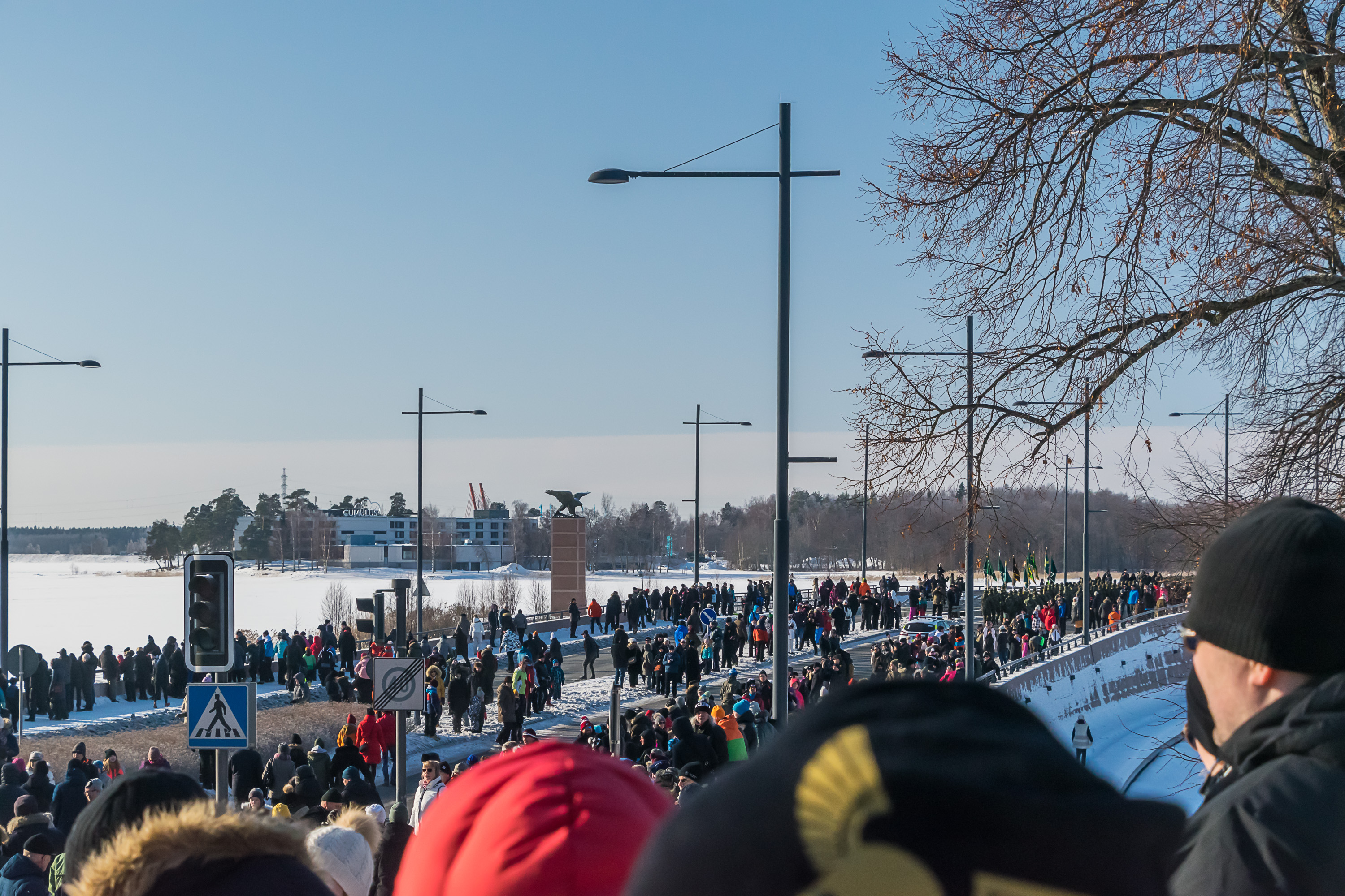
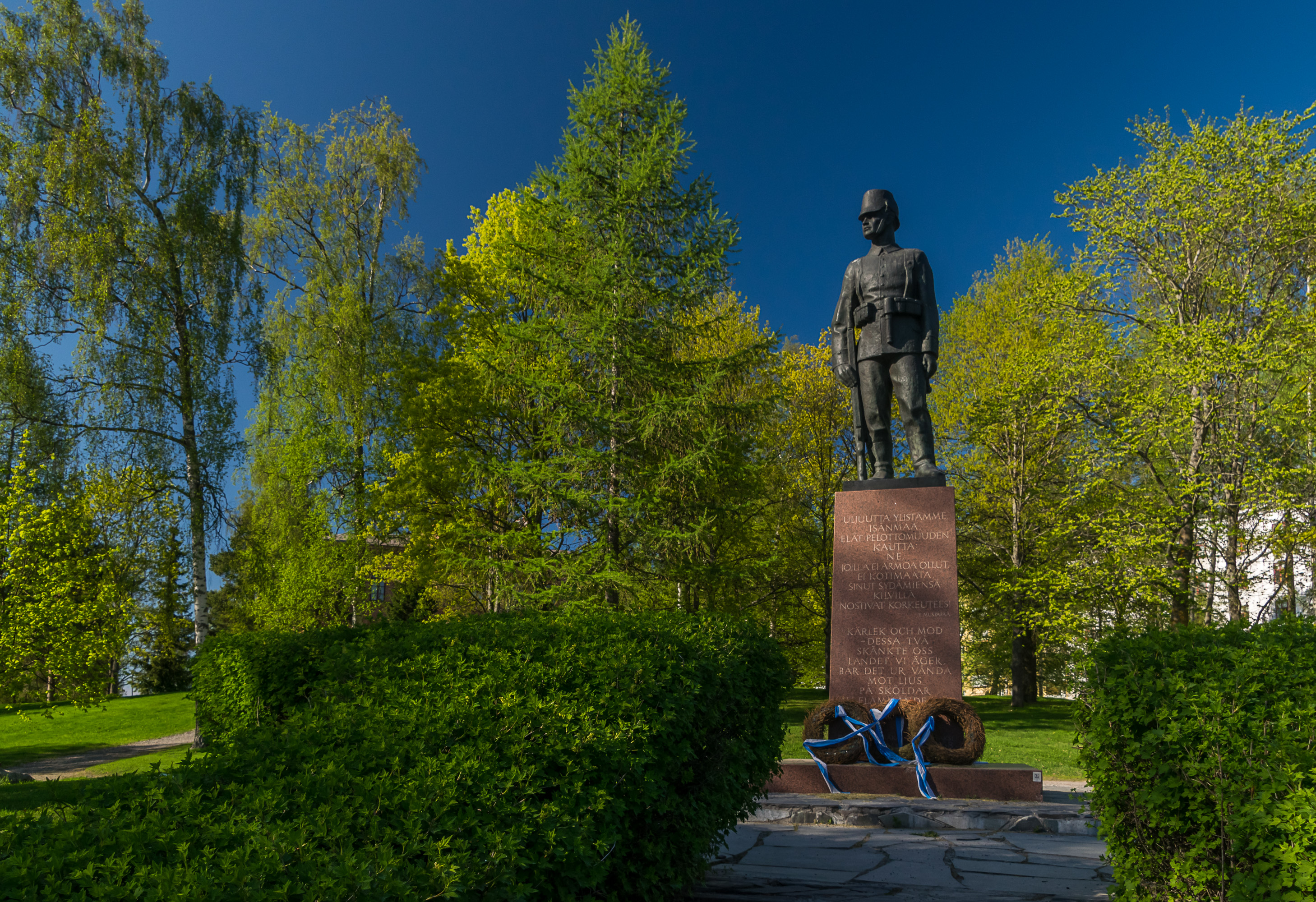
Vaasa was temporarily the seat of the Finnish Senate (the Finnish government at the time) during the Civil War of 1918. Helsinki and other industrialized southern cities were occupied by the socialist and social-democratic Reds, while Ostrobothnia, with its well-off and enterprising farmer population, was a staunchly White, conservative-minded area. The Senate was evacuated from Helsinki to Vaasa and operated there a few months, even printing their own money. The Civil War outcome was decided mostly by the jaegers (jääkärit), veteran White troops, formerly fighting for Germany in World War I. Jaegers returned from Germany to Vaasa in February 1918 and also began their operations from Vaasa. Later on German troops assisted the Whites directly. The Red rebellion was brutally crushed. The deep divide in society persisted long after the war ended. Both sides had engaged into nasty war crimes, and many civilians and war prisoners were killed.

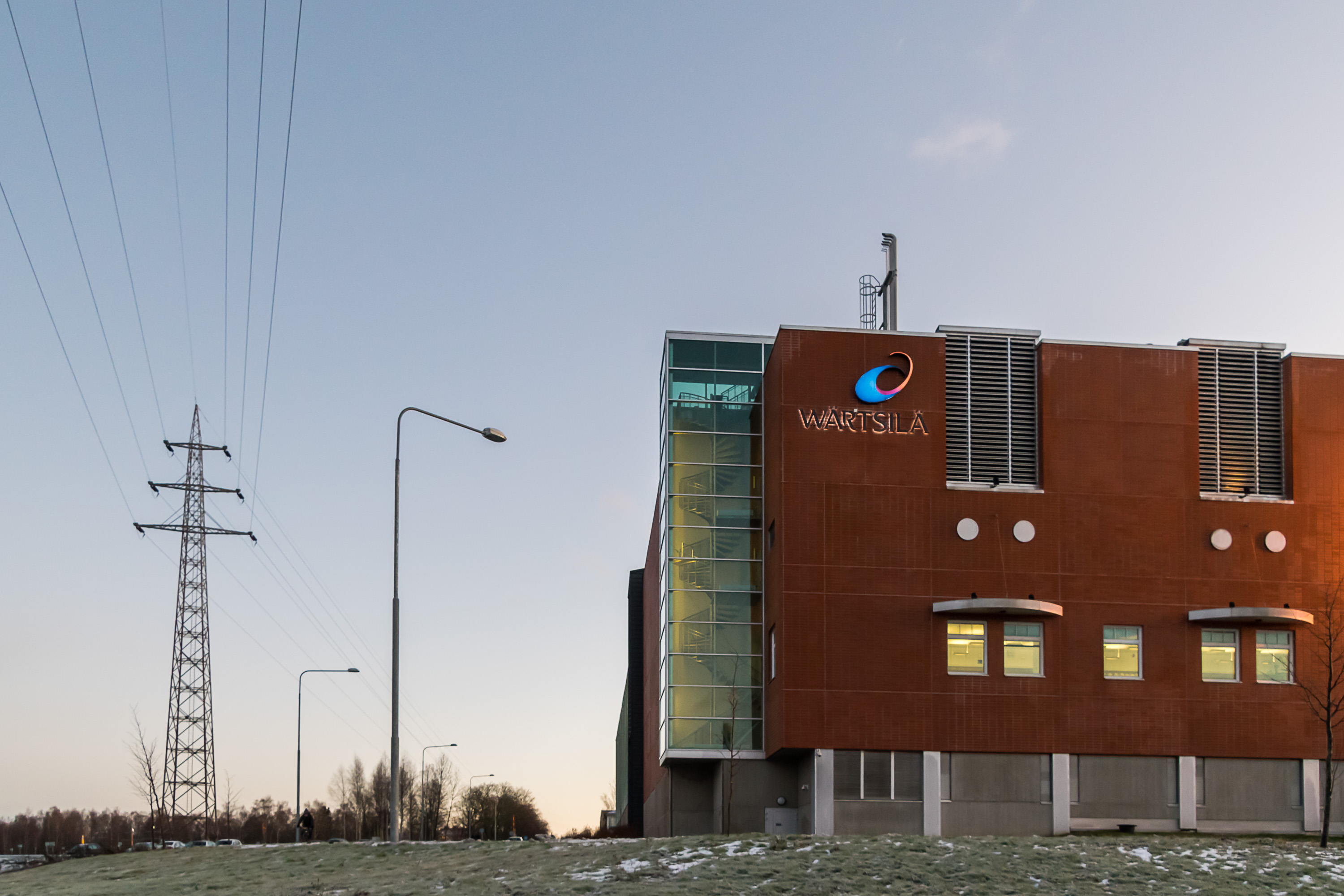
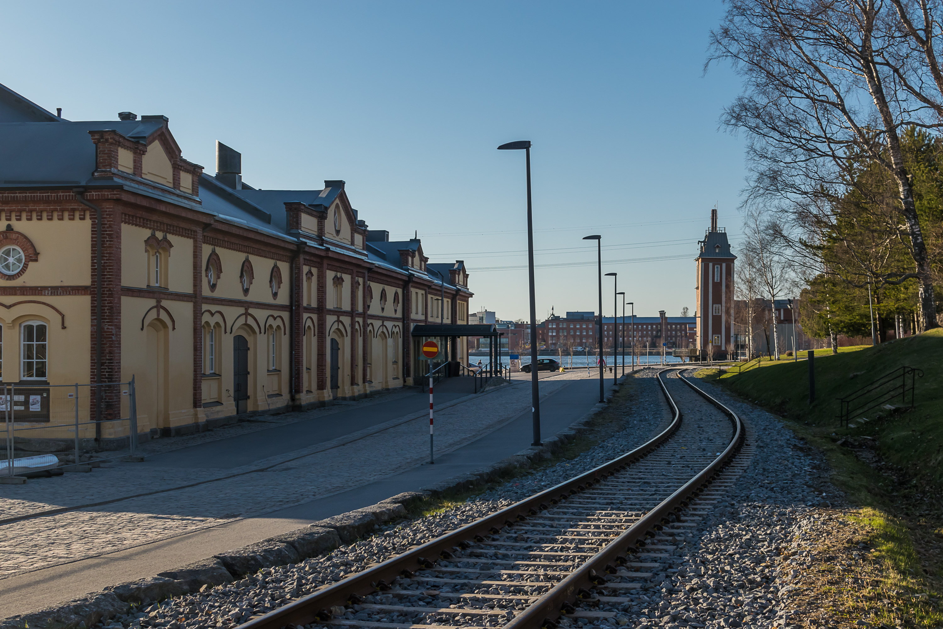
Vaasa became a major industrial center in the 20th century, with the two most important plants — Wärtsilä and ABB — still operating in areas immediately next to the city center. Wärtsilä, a ship motor building company, took over older Onkilahti workshops, and ABB, an international conglomerate manufacturing electrical equipment, acquired the Strömberg factory.

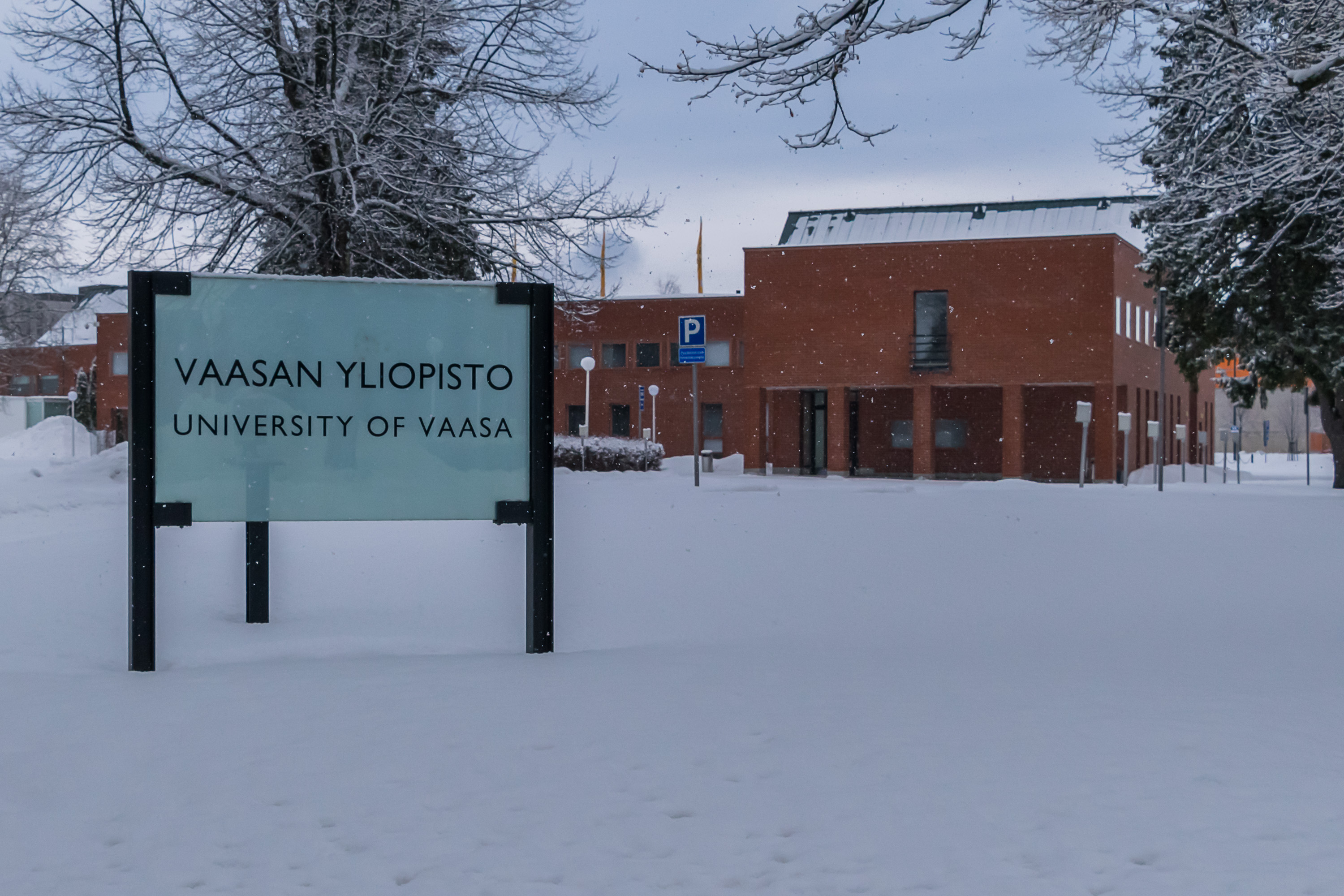
Vaasa is also widely known as a university city these days. The Vaasa University (Vaasan yliopisto) was established in 1968, but it's not the only higher education institution there; there are also branches of Swedish-language Åbo Akademi, Hanken Economics School (Hanken Svenska handelshögskolan) and Novia University of Applied Sciences (Yrkeshögskolan Novia), and the Finnish-language Vaasa University of Applied Sciences (Vaasan ammattikorkeakoulu, VAMK). Students, including international ones, form a significant fraction of Vaasa population, and the city is fairly diverse for its size. All universities in total have about 12,000 students.
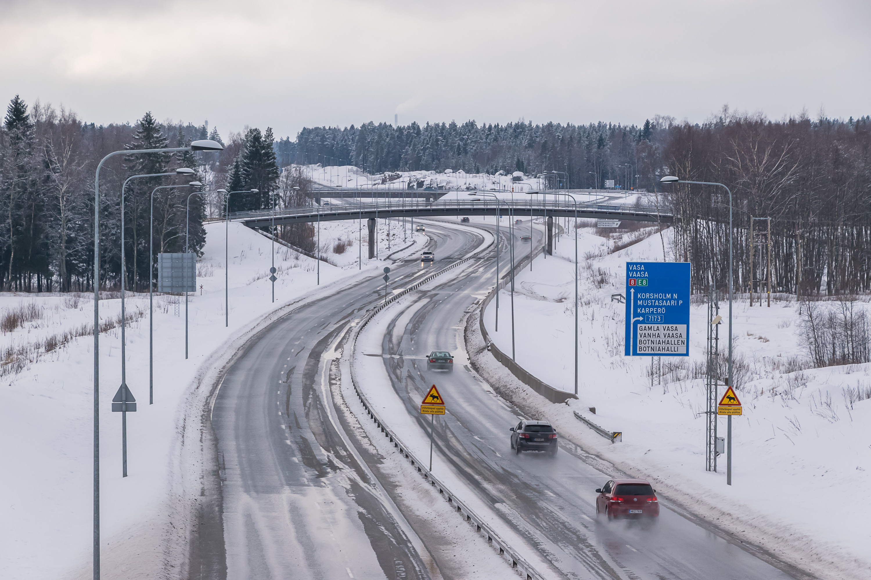
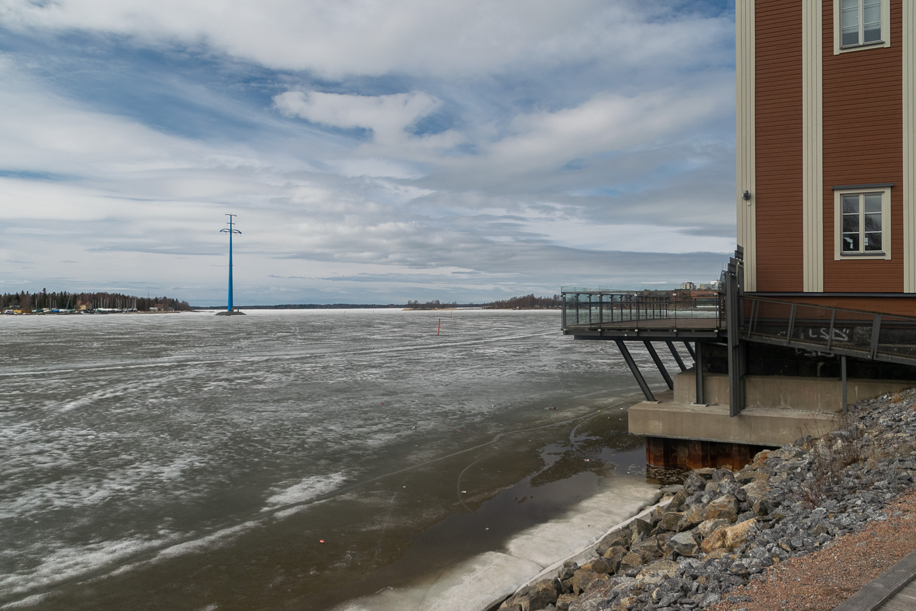
Modern Vaasa enjoys relatively good transport links, considering its size and somewhat remote location. The railroad came here in 1883, and although the rail section to Vaasa is a dead-end one, there are about eight daily trains to Helsinki (plus a few to Seinäjoki, connecting to other Helsinki-bound trains), taking about 3:30 to reach it. The distance to Helsinki by road is 420 km by the National Road 3 (Valtatie 3, Kolmostie), via Tampere. Other major roads are the National Road 18 to Seinäjoki to the east, and the National Road 8 following the coast of the Gulf of Bothnia. The roads are mostly just basic two-lane roads, but quite well-maintained and straight; there are also some short motorway and near-motorway quality sections immediately near Vaasa. Vaasa airport has flights to Helsinki and Stockholm. As mentioned before, the modern sea harbor is located on the Vaskiluoto island and it offers a ferry connection to Umeå in Sweden, although otherwise the harbor is not a very significant one and its cargo turnover is relatively minor.


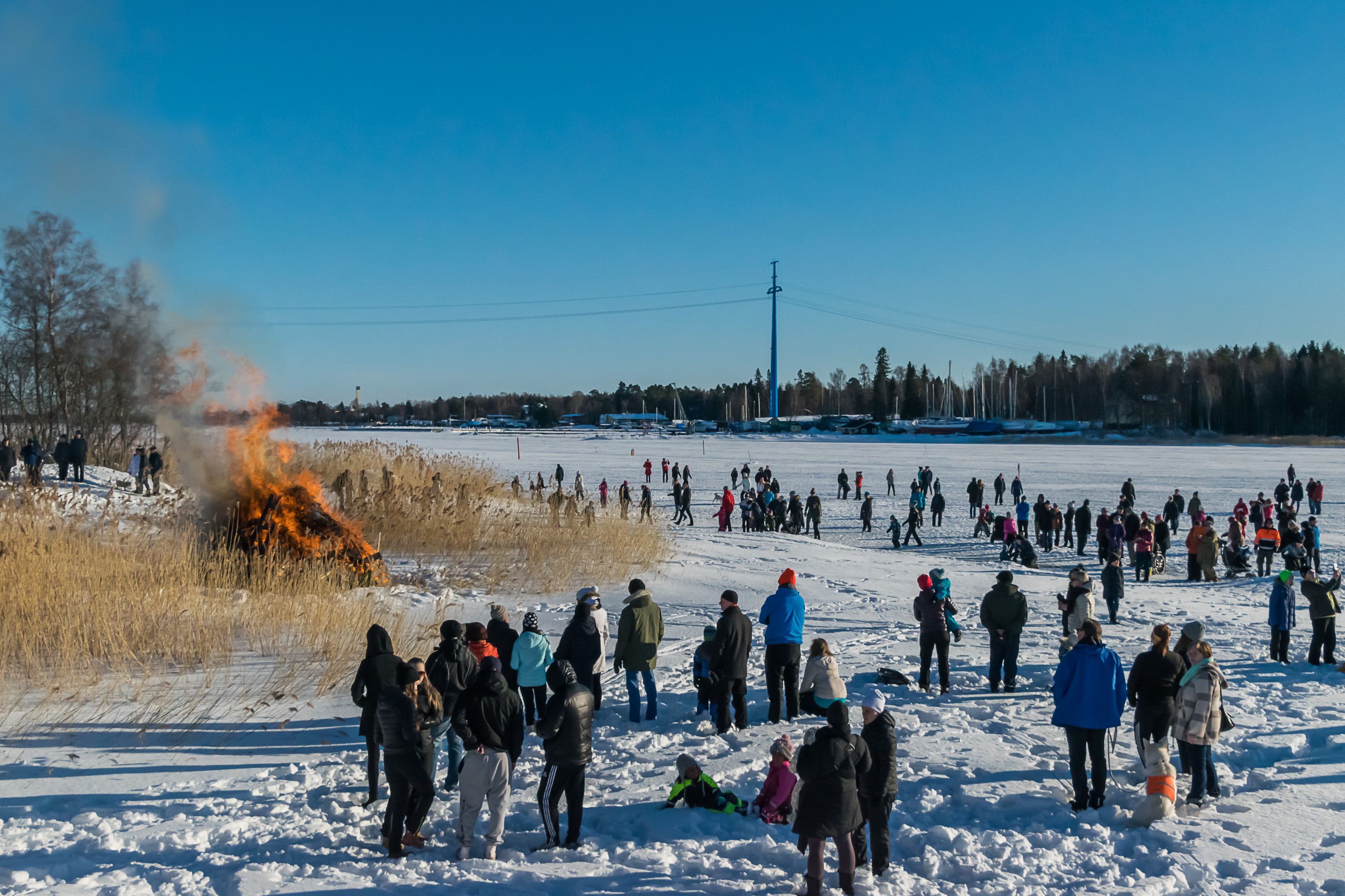
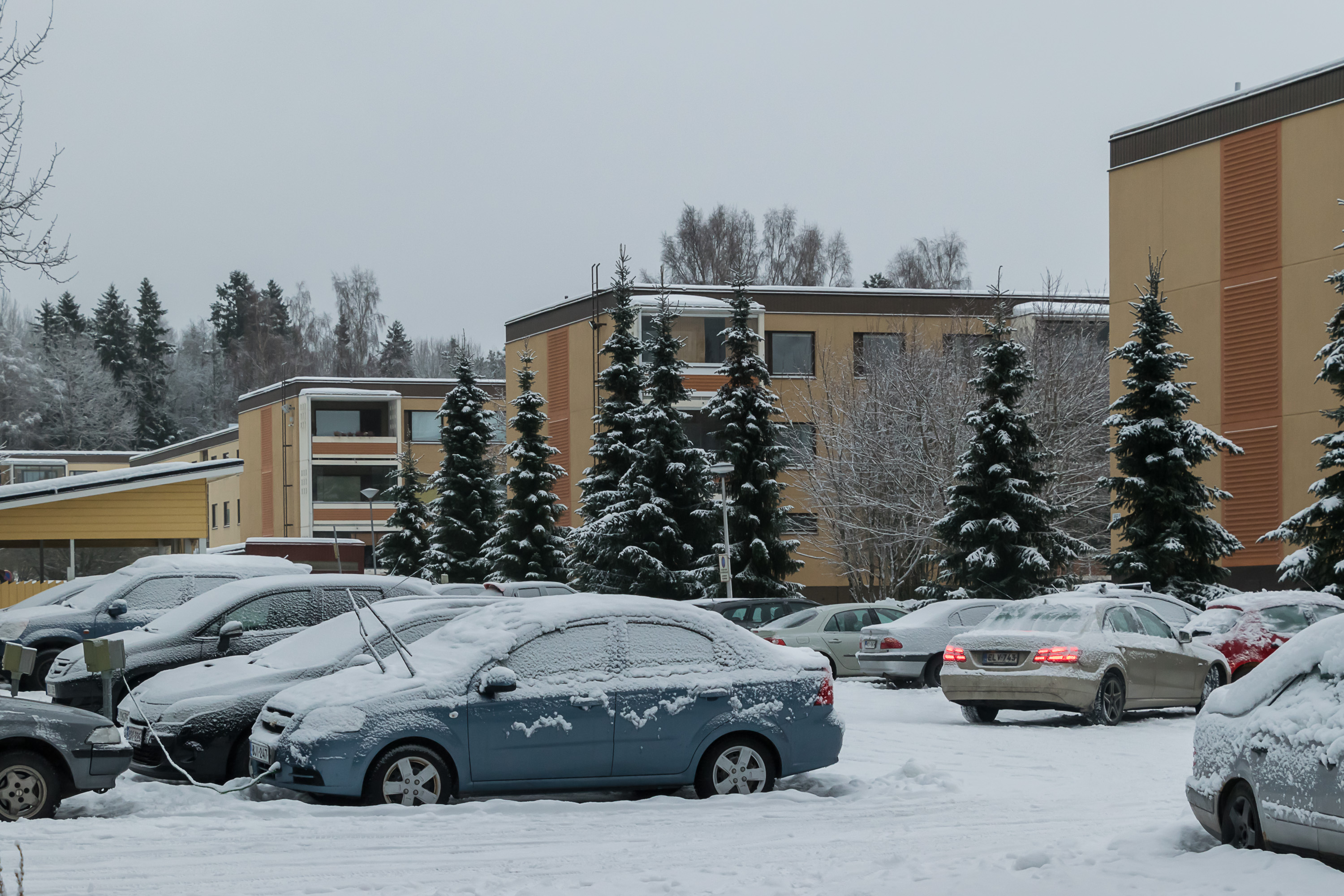
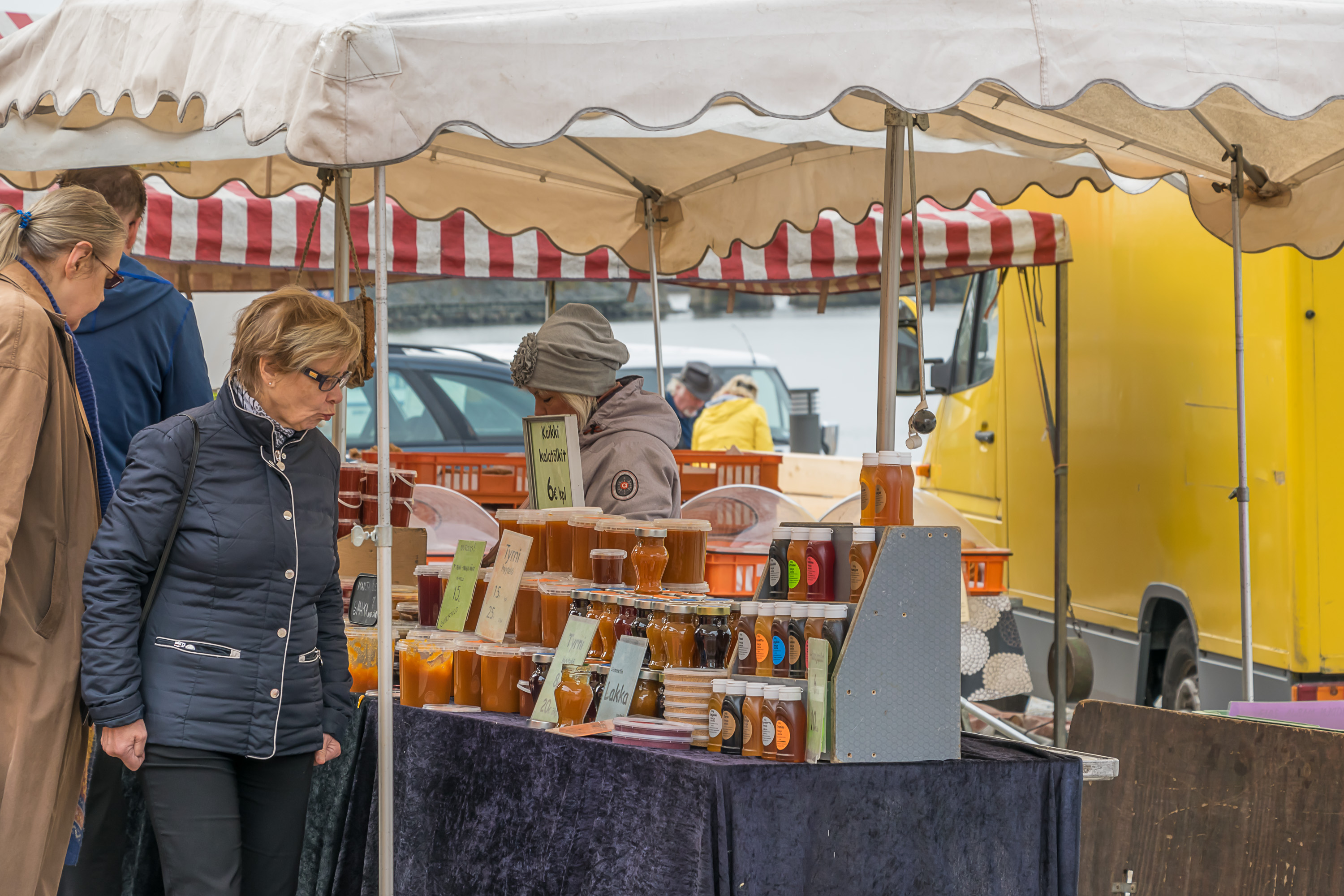
Vaasa climate is quite nice with "proper" winters, with a lot of snow and many quite cold days. There is usually snow cover on the ground from mid-December to mid-April. Summers are as warm and pleasant as everywhere in Finland, but not overly hot. Vaasa is known as "the sunniest city of Finland", which is largely true; it normally has a lot of clear days both in summer and in winter. It is a northern city, meaning very short daylight hours in winter; just 4:40 at winter solstice. Having snow at that time helps, as the white snow makes everything visually brighter. White nights in summer on the other hand last for months, and are extremely bright; it is easily possible to read outdoors at night, and street lighting is not turned on at all.

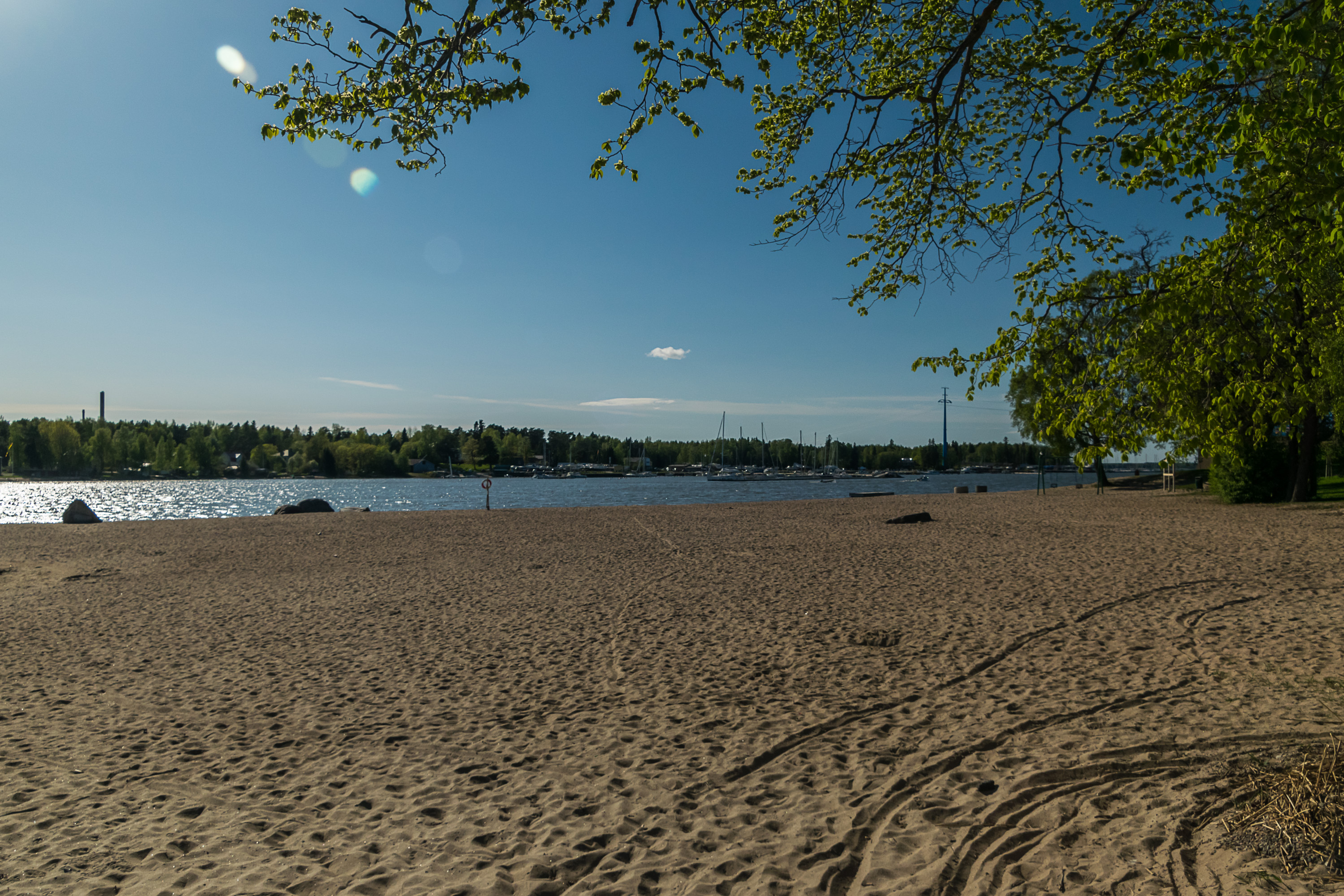
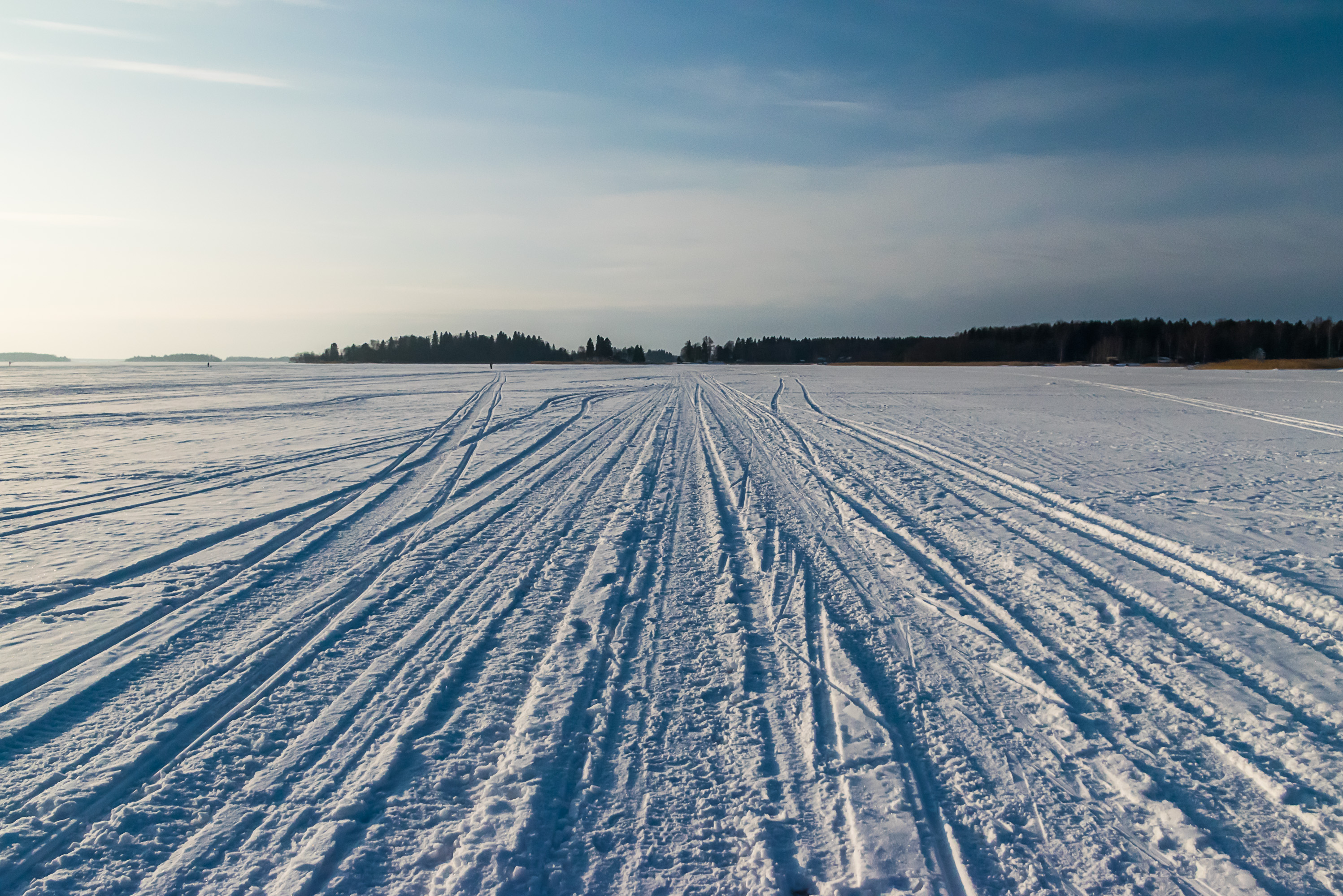
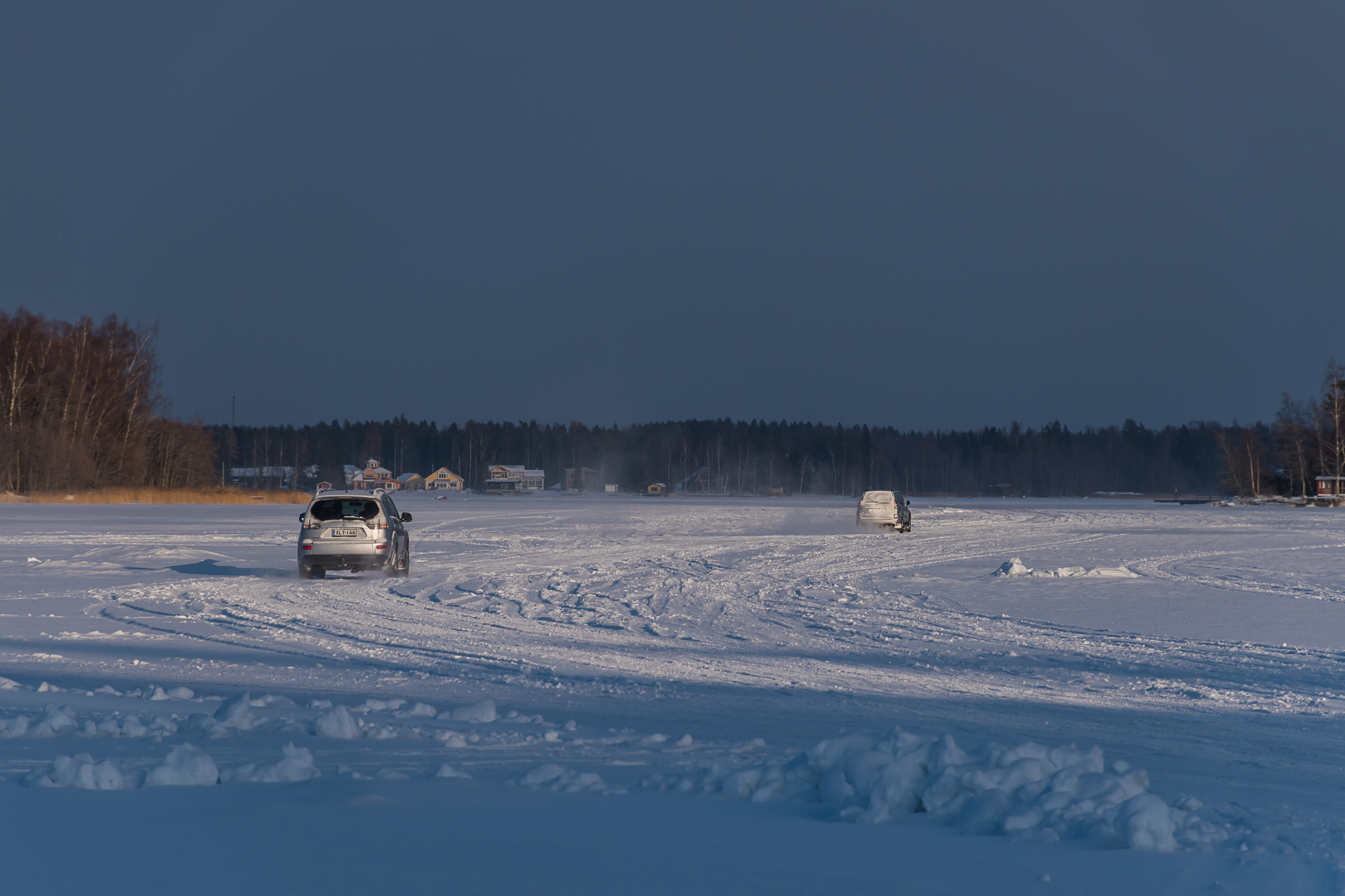
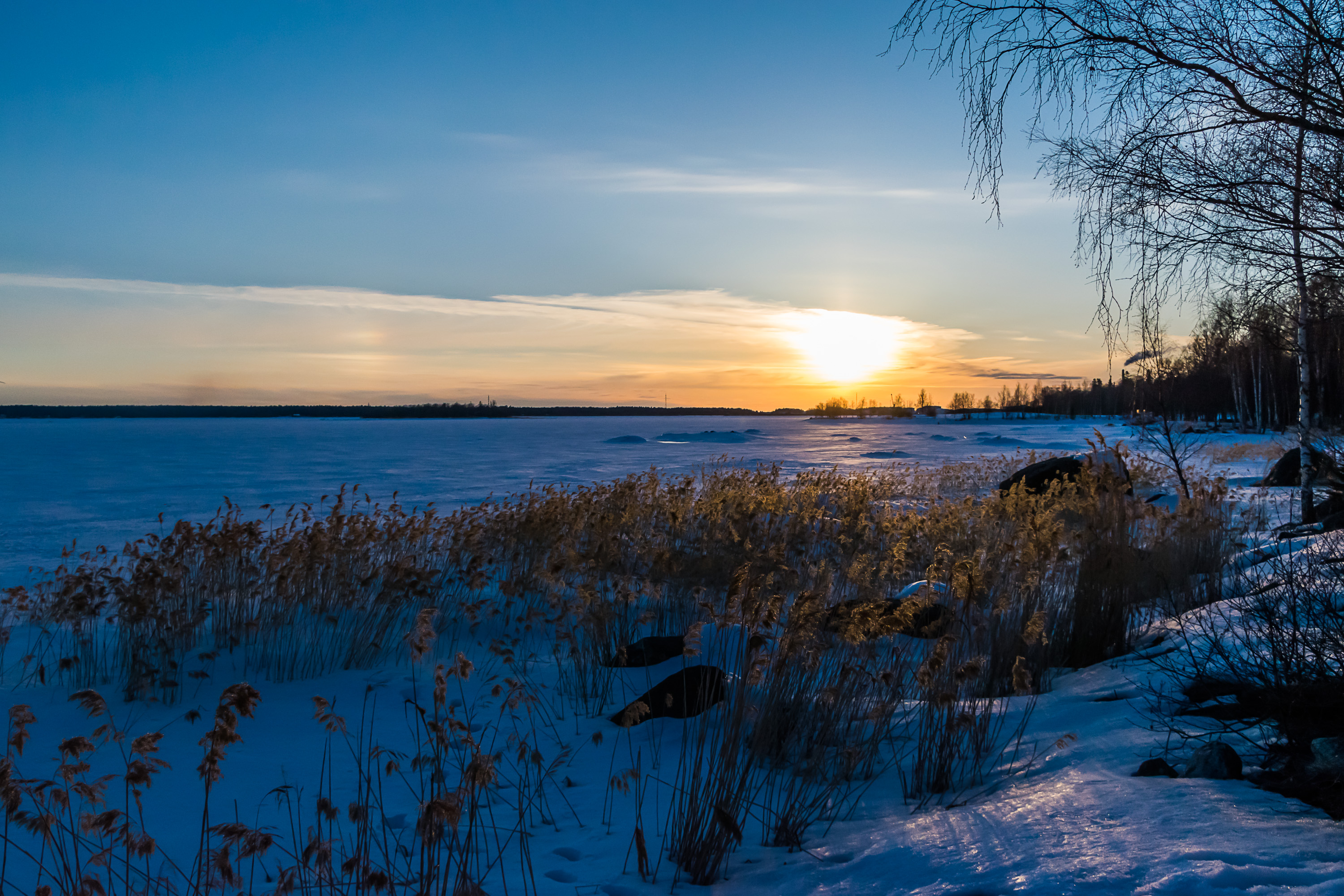
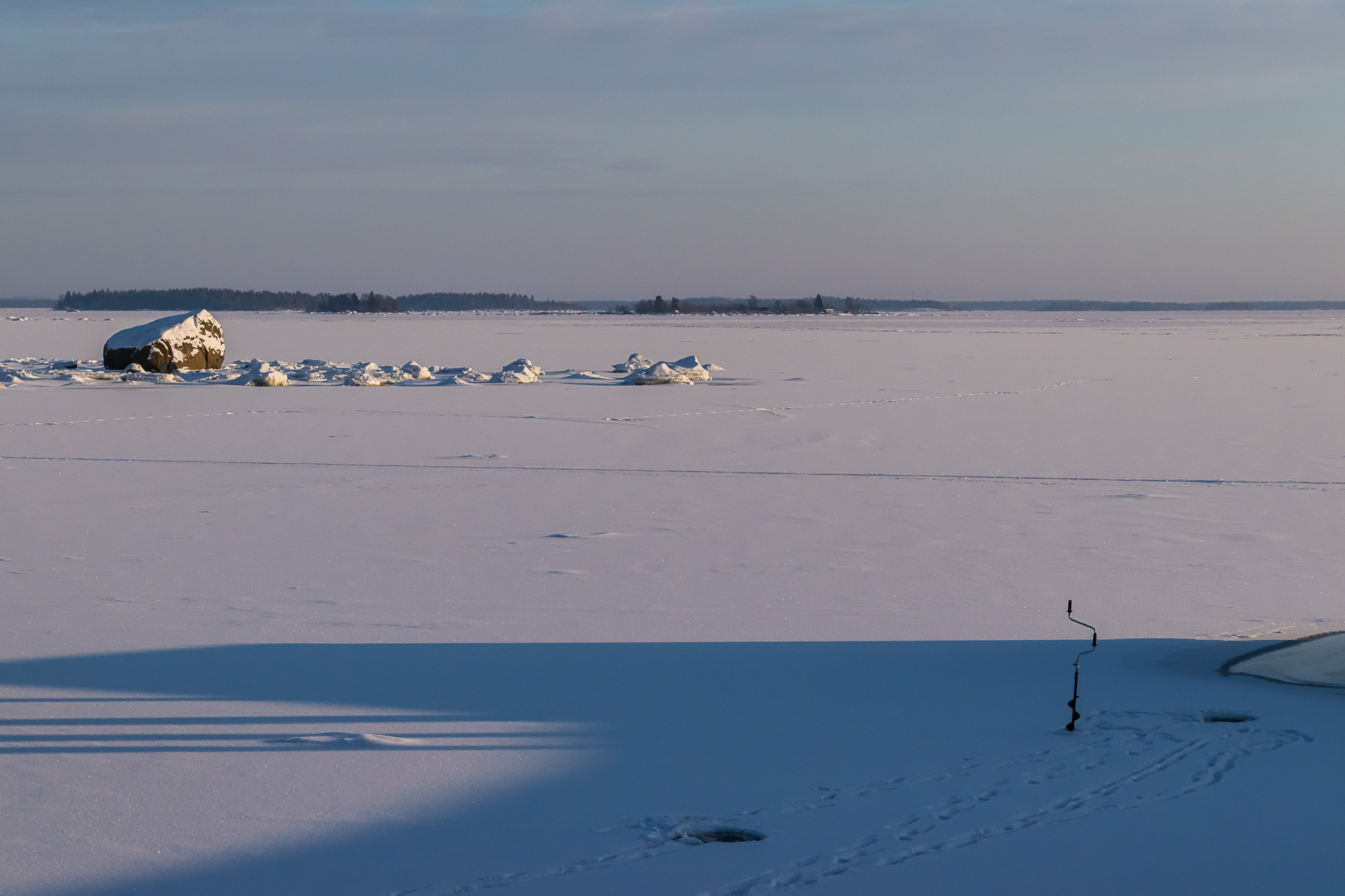
The sea freezes over in all but the warmest winters (like the 2019-2020 Winter of Three Novembers that Finland is experiencing a the moment of this writing). You wouldn't be able to repeat the Russian army deed and walk to Sweden, because these days shipping lanes are kept open from ice by icebreakers. In the archipelago, however, the sea ice is normally solid enough not just to walk but even to drive a car on; indeed, there is a restaurant (Jannen Saluuna) on an island in Vaasa Archipelago which is open in summer when it's reachable by boat, and in winter when it's reachable by ice road. A walk in the icy archipelago is an experience that I would definitely recommend for everyone. There are not many places in the world where you can do that! The sea is normally frozen from January to April, and the ice is safe for cars in February-March.

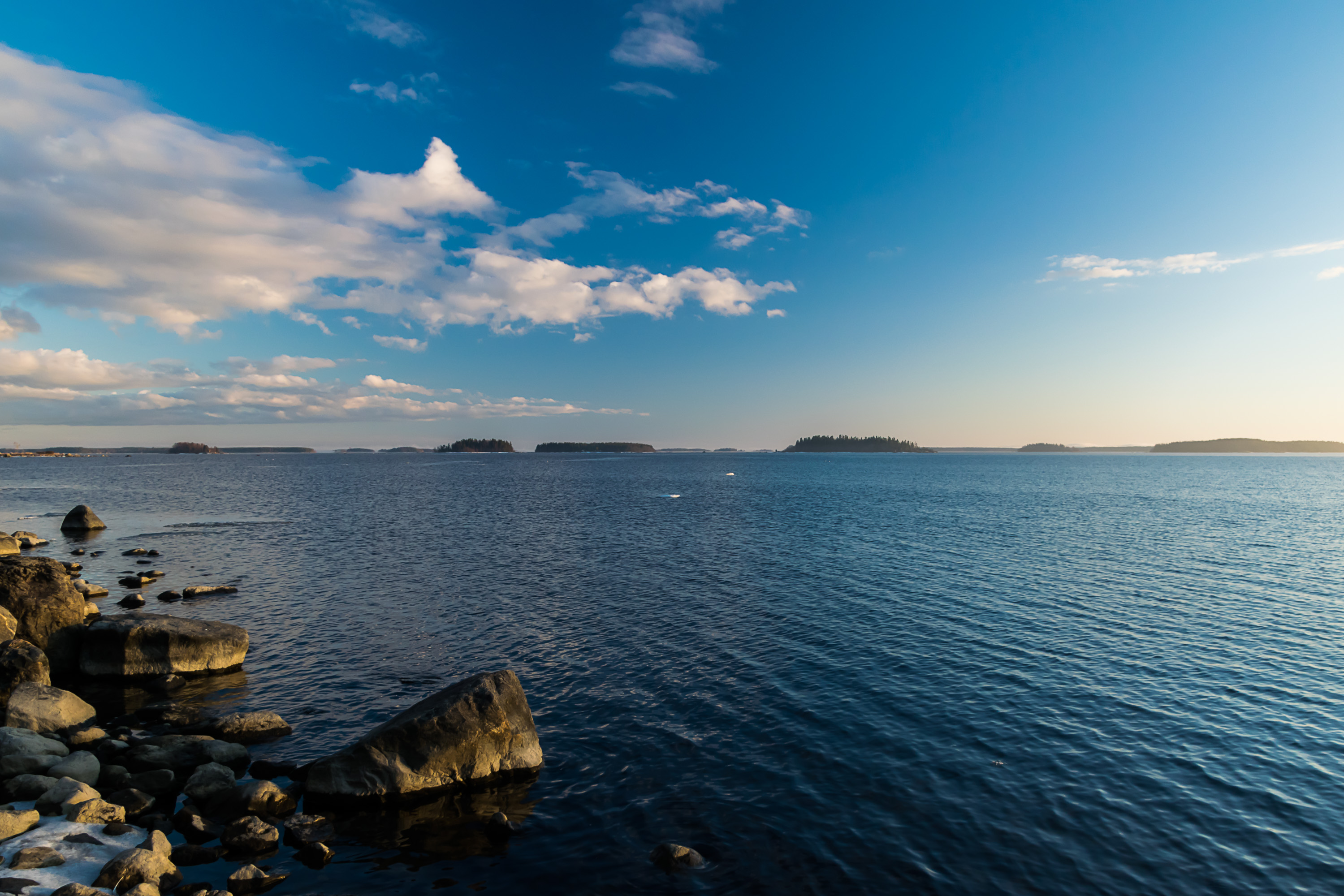
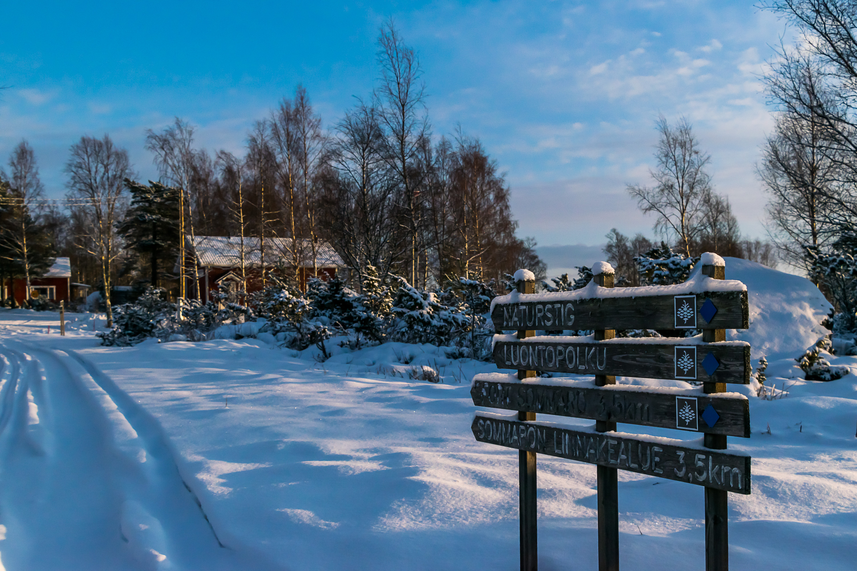
The nature around Vaasa is perhaps not as varied as in some places in the world, or even in Finland. Apart from (parts of) the Kvarken Archipelago, there are no major protected nature areas (national parks and the like) anywhere near Vaasa. There is still a lot to see, though. The sea is perhaps the most impressive sight, and trails in the Kvarken Archipelago (Bodvattnet, Vikarskat, Sommarö, Kikanberget...) all take you near the sea one way or another. Outer islands and archipelagoes are particularly interesting; these are small rocky skerries with little vegetation, and a few of them have beautiful lighthouses. However, outer islands are the one place near Vaasa that I never visited myself; they only get rather irregular and expensive boat tours in summer.

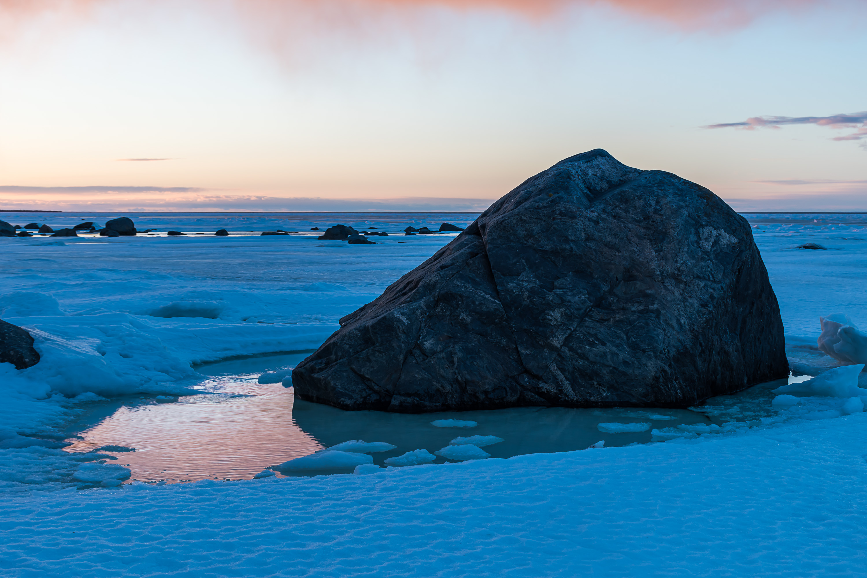
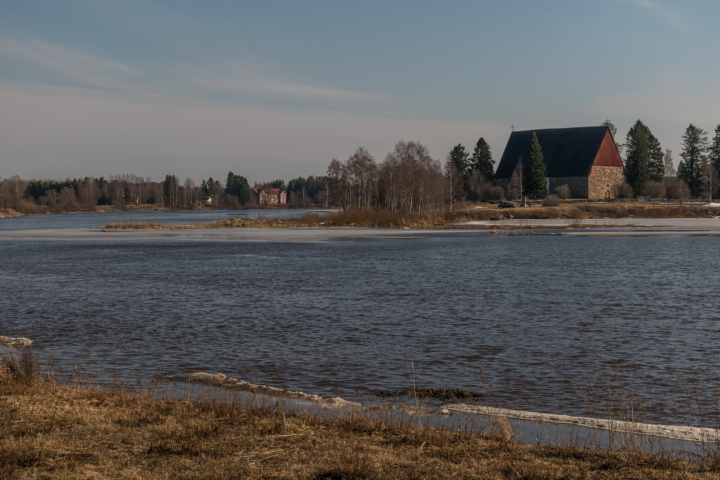
Other notable nature spots are the Öjen old-growth forest, the Öjberget hill which is the rim of the ancient Söderfjärden meteorite crater that is currently just a big round field, and the overgrown bay of Eteläinen Kaupunginselkä near the city. Kyrö River is also worth a look and a drive along its banks, especially in the time of its famed spring floods. It flows into the sea at Kvevlax in Korsholm slightly to the east of Vaasa; Vaasa itself has no significant rivers. There are also numerous minor trails which just take you for a walk in the woods. The landscape is mostly very flat compared to most regions of Finland, but still enlivened by rocky hills and erratic glacial boulders. Lakes are not uncommon but small, and are mostly in fact gloe lakes, former parts of the sea eventually separated from it by postglacial rebound. The sea coast is similarly full of flada bays, which are an intermediate stage between a regular bay and a gloe lake.
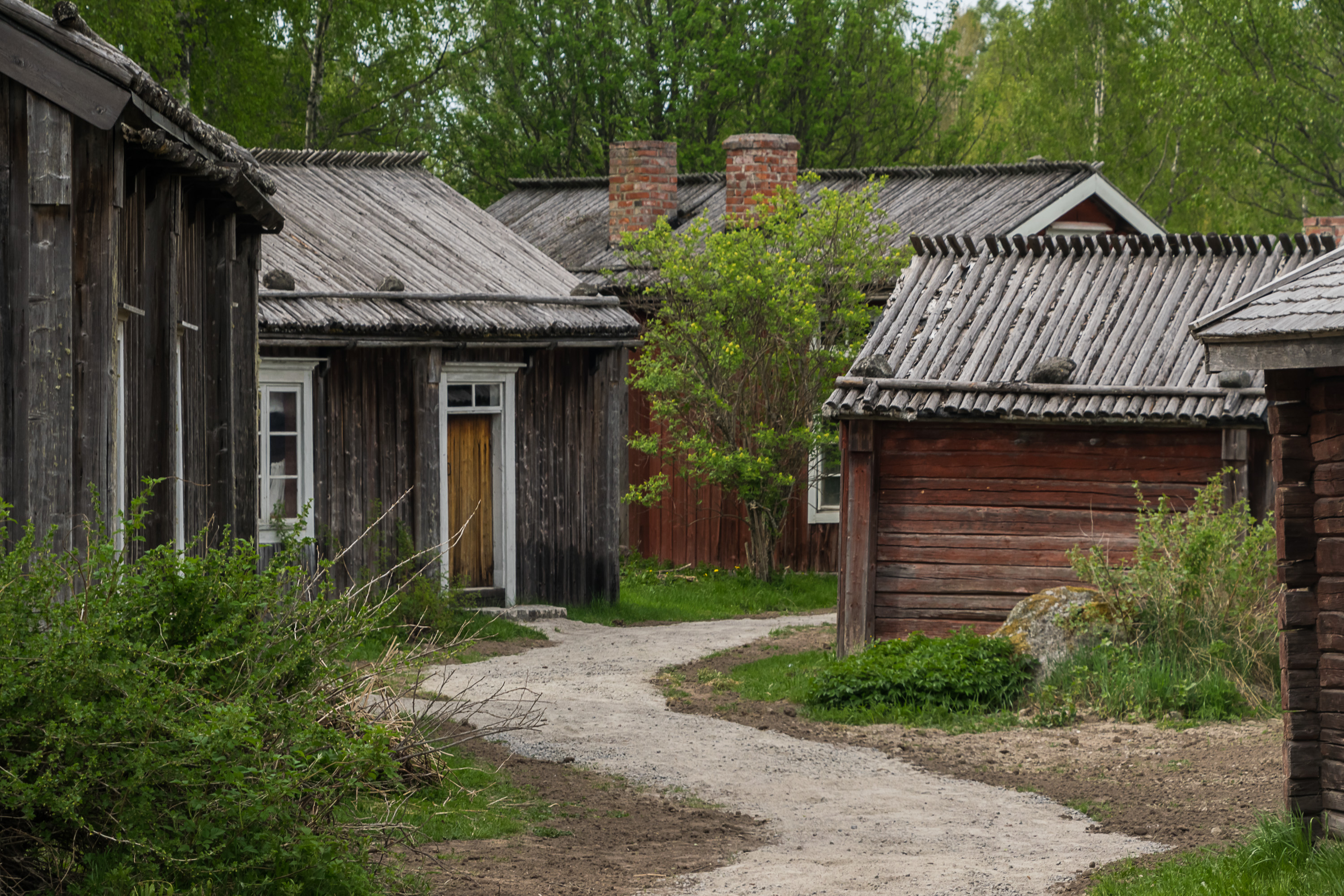
There are no exceptionally important museums, but I would recommend at least the Ostrobothnian museum in Vaasa and the Stundars open-air museum in the village of Solf in Korsholm. As everywhere in Finland, there are of course many small local museums typically open only in summer. Of these the Marine museum in Palosaari in Vaasa is my favorite.
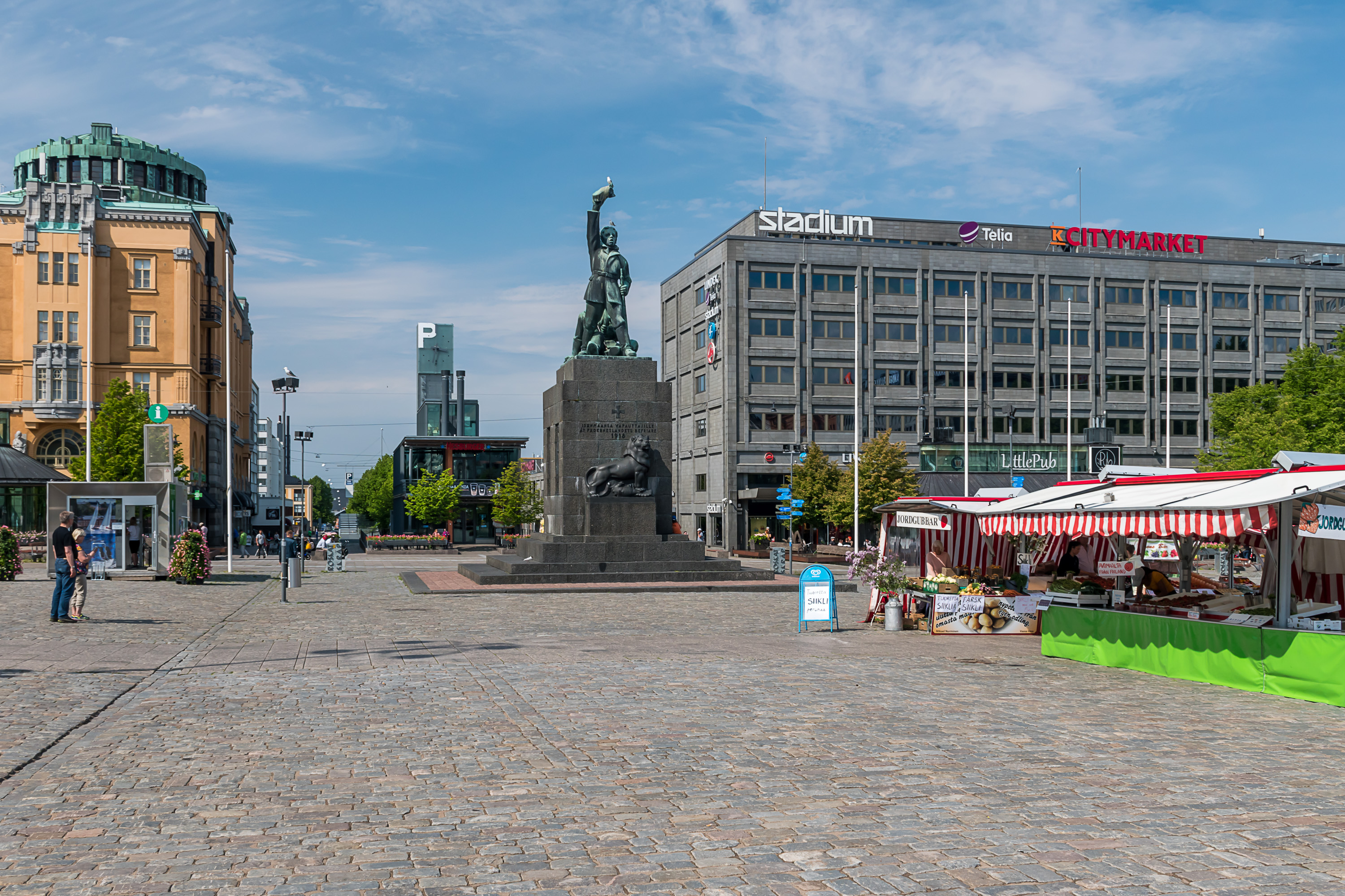
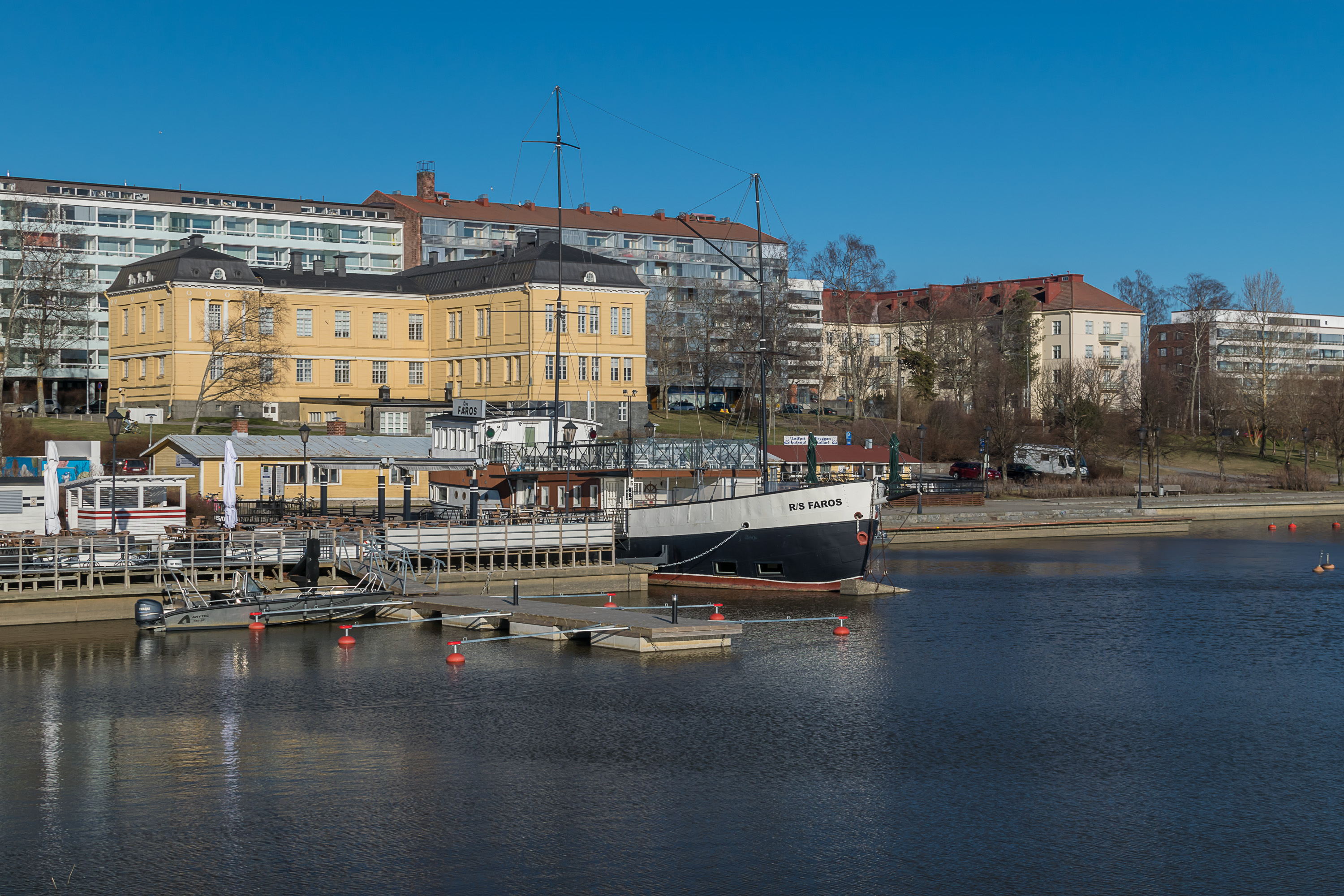
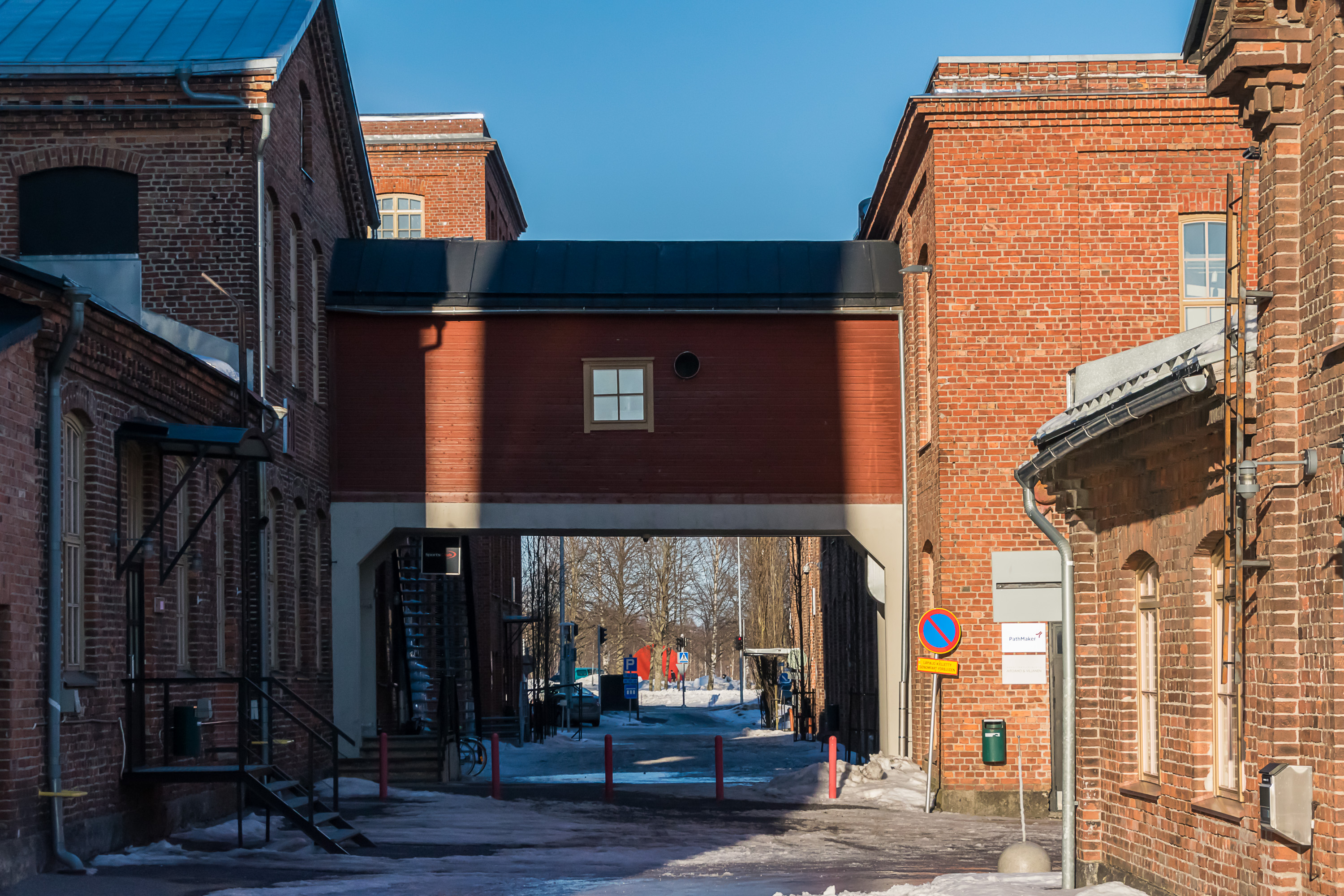
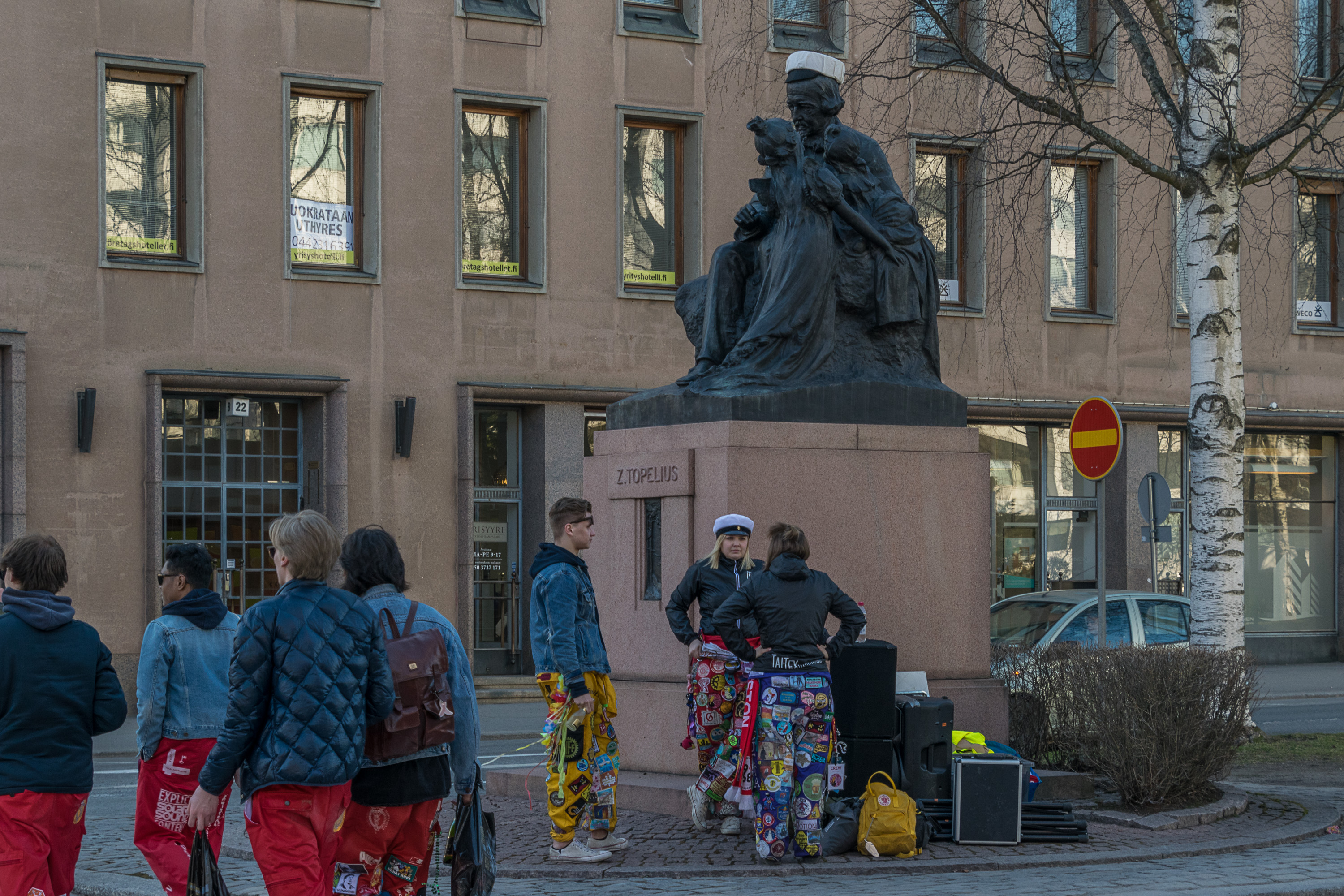
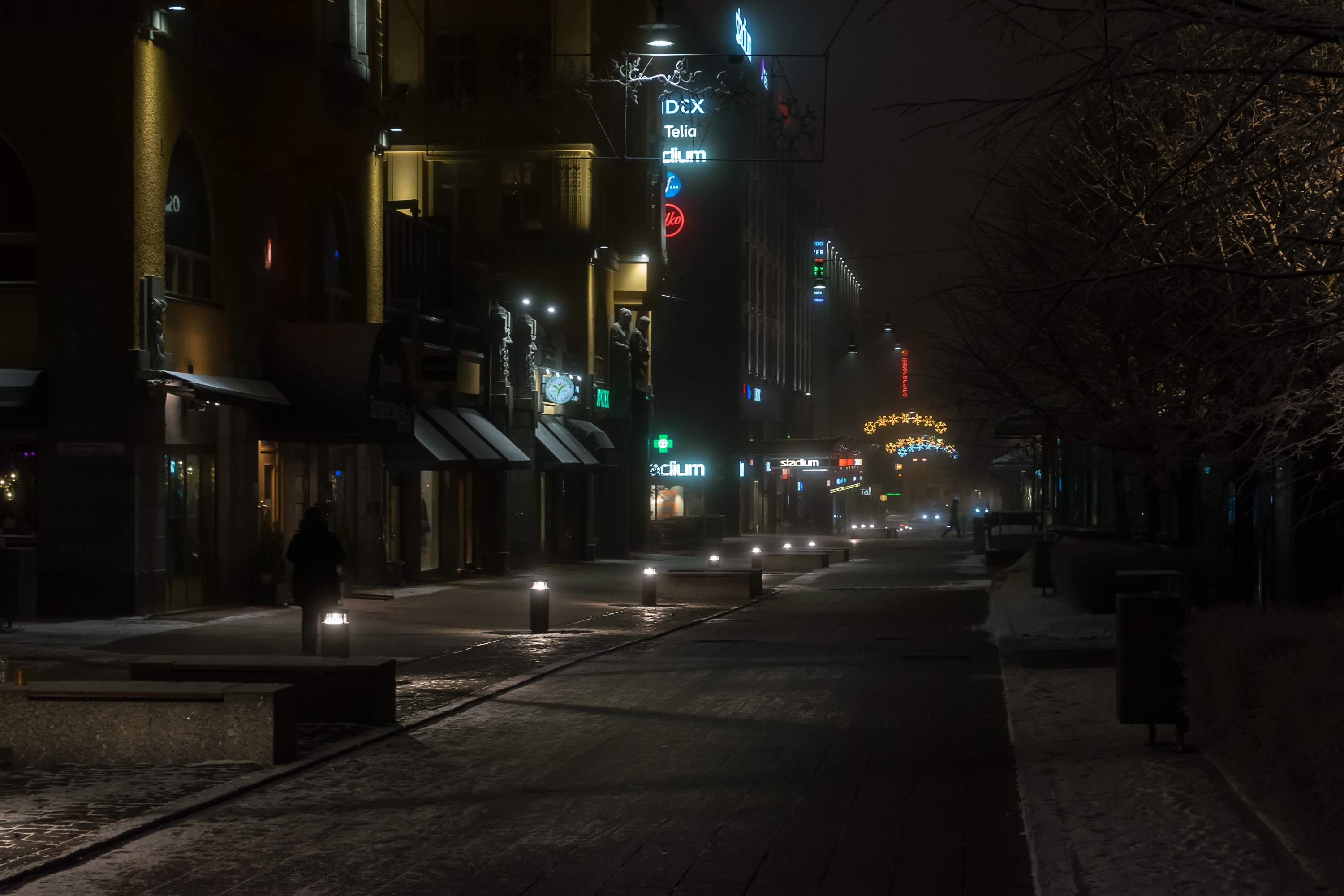
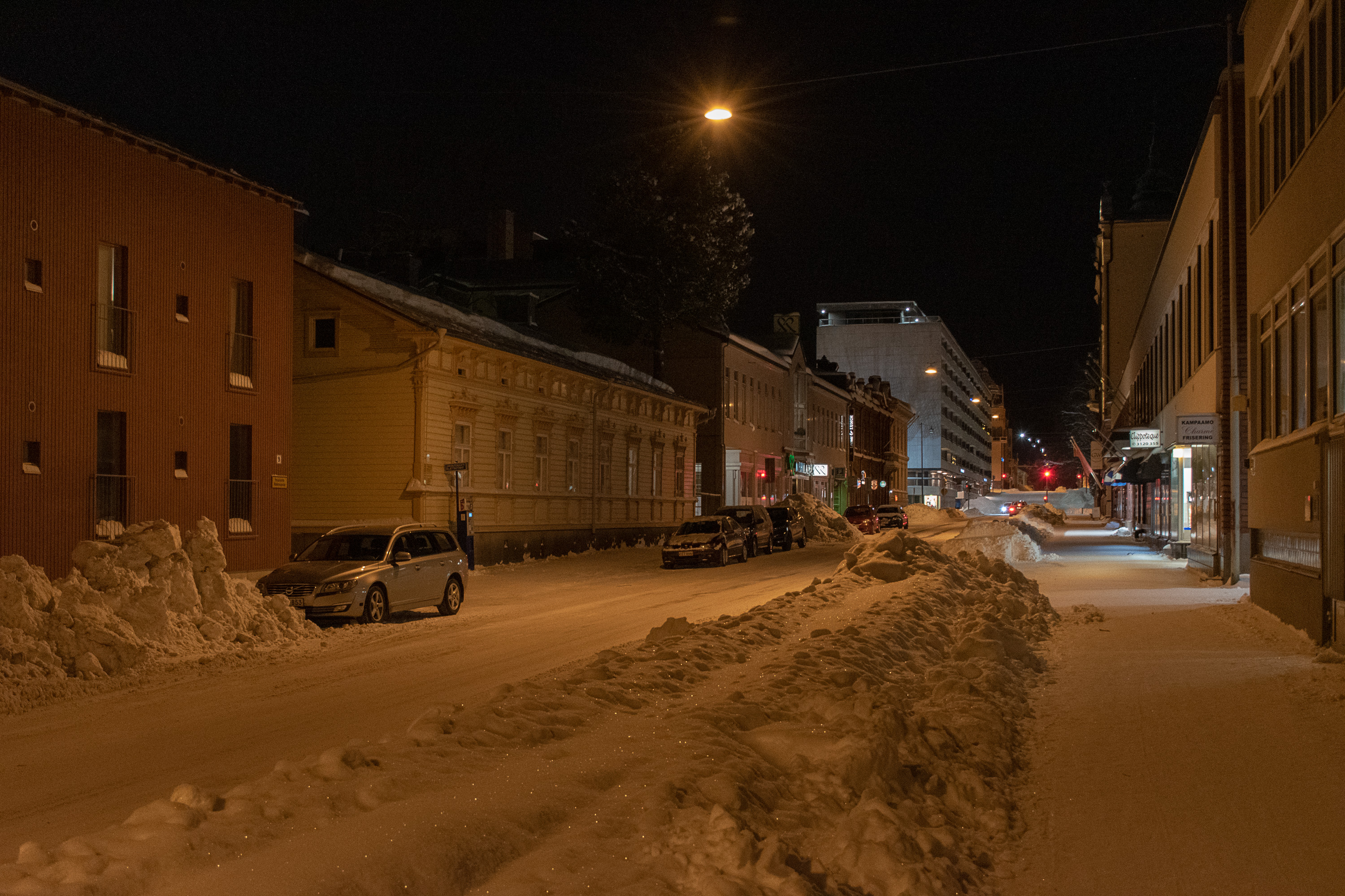
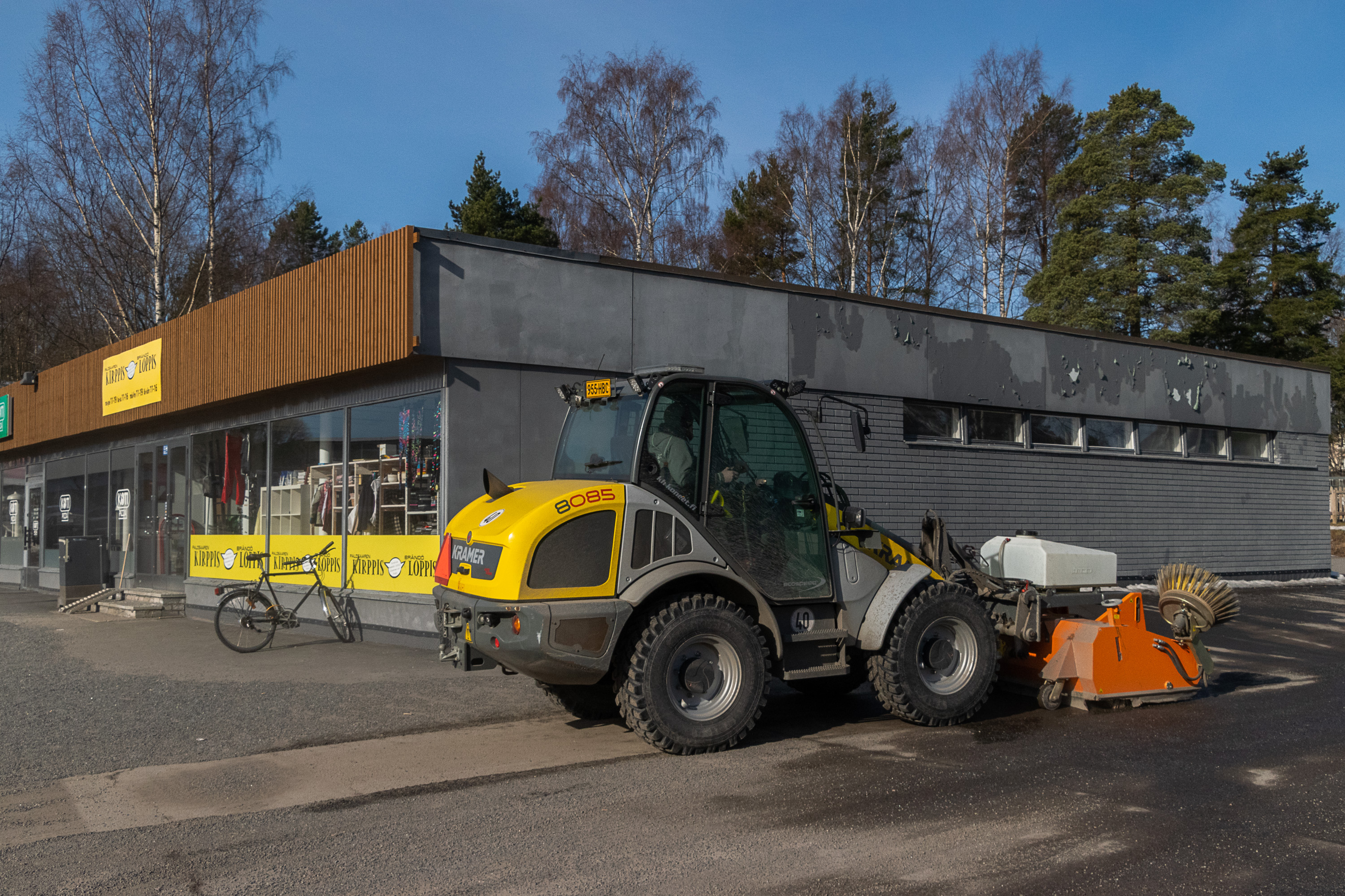
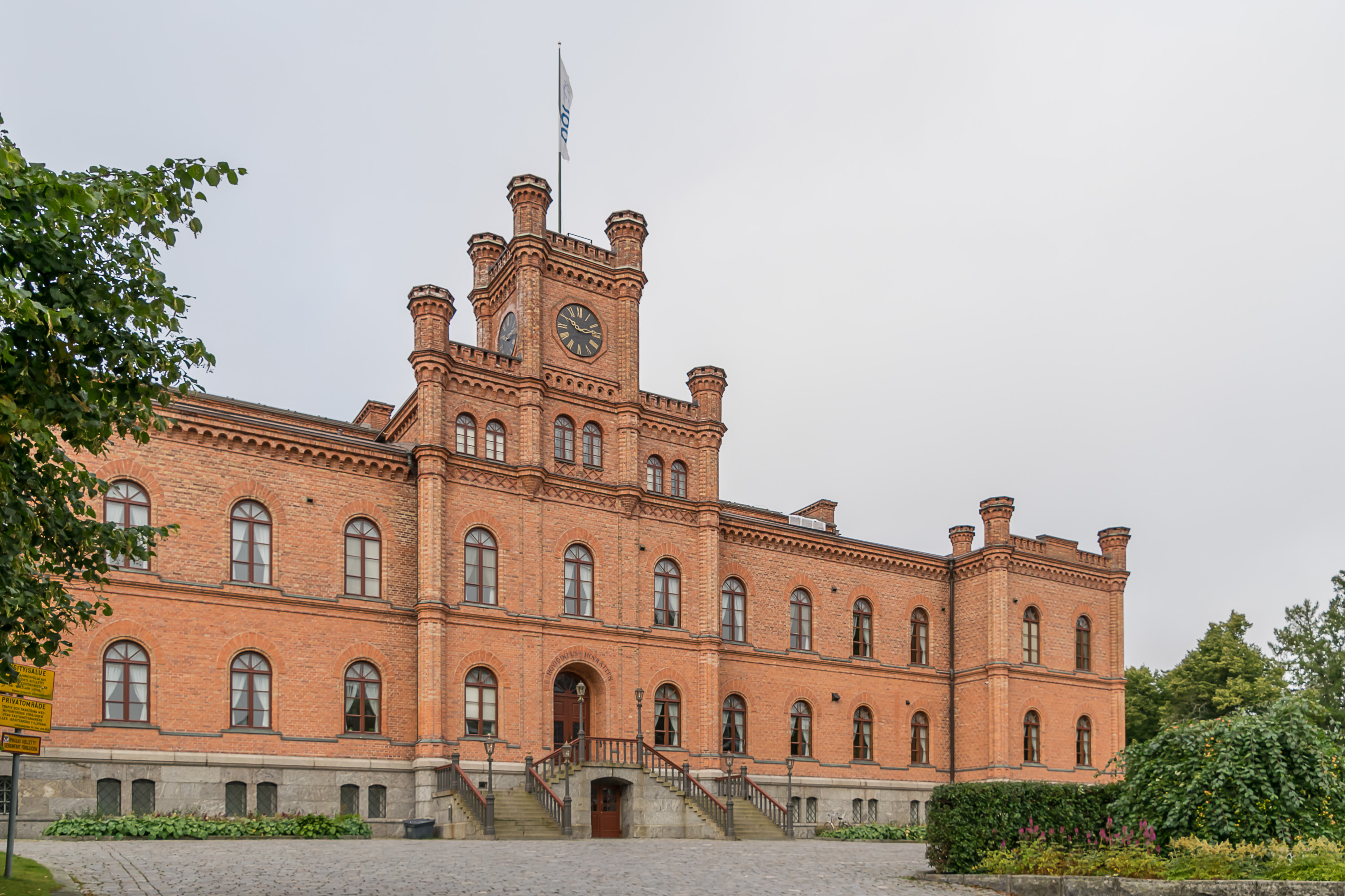
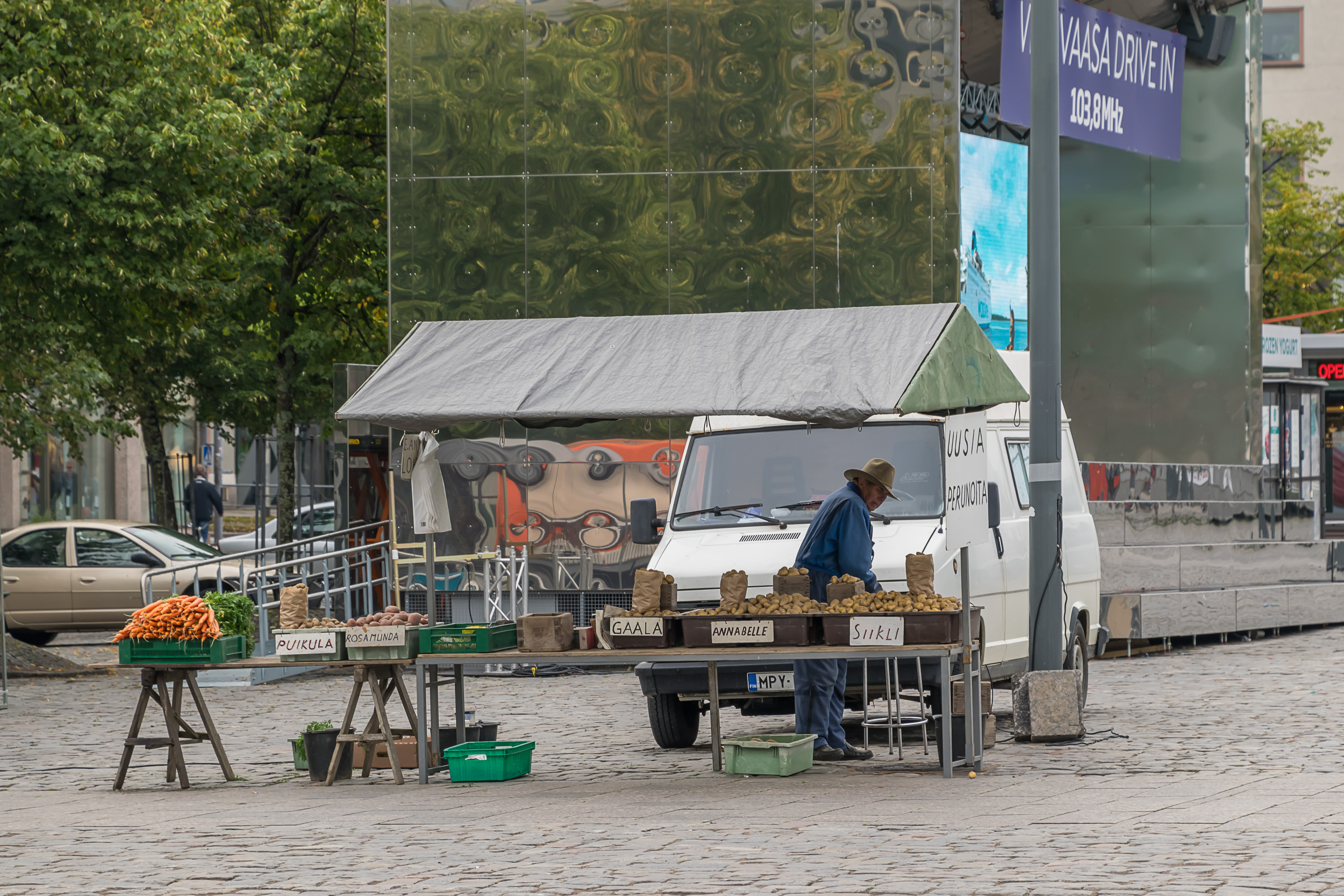
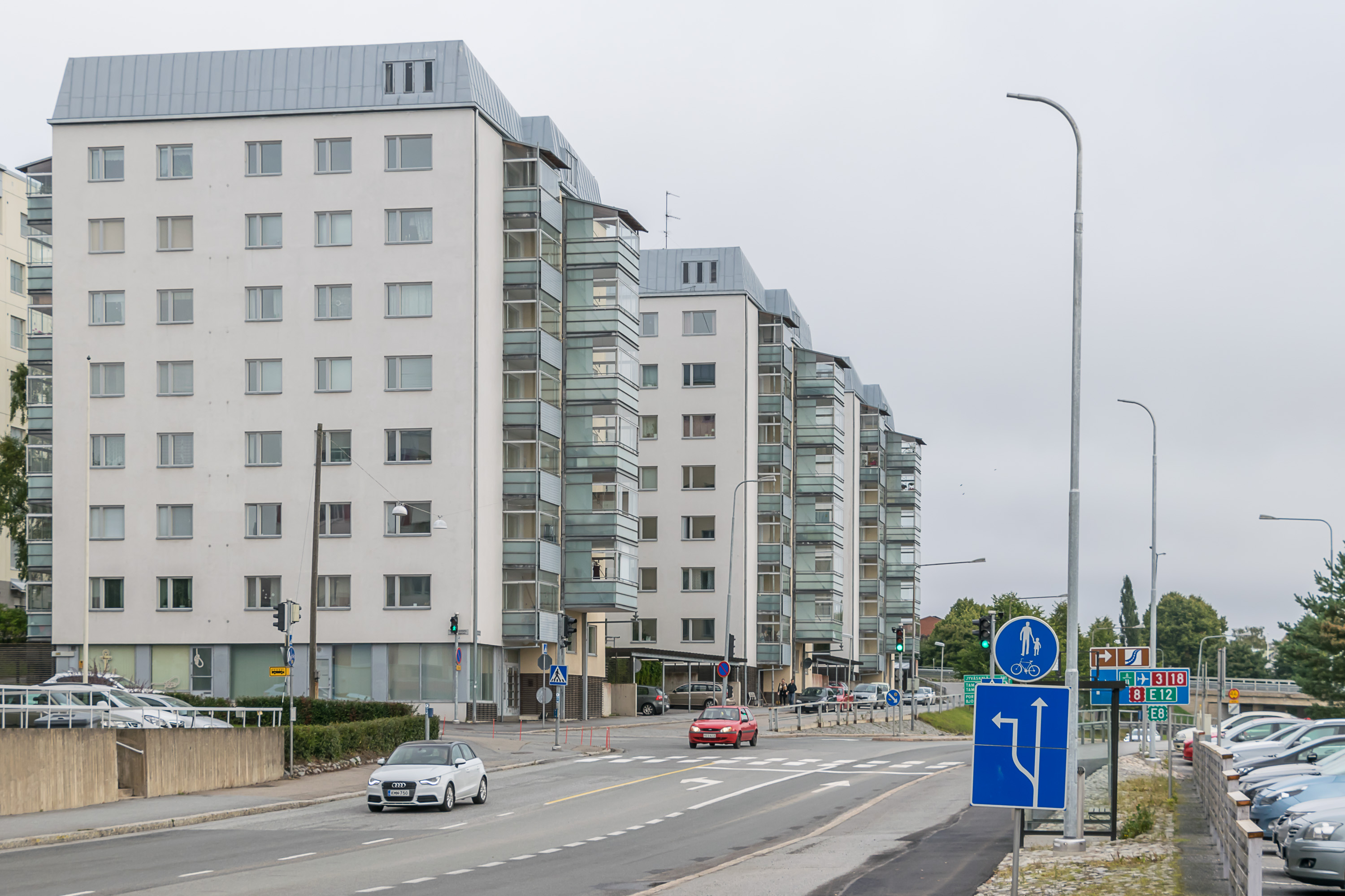
And now for some more views of Vaasa and Korsholm:

So this is it, Vaasa in brief. In the following posts we will start to explore Vaasa and Korsholm closely, beginning with the Vaasa center.