And in the final part of the Lule Lapland series, it is finally time to see the beauty of the northern nature, which is why I was there all along. But as it generally happens in my travels, I saw loads of other fascinating stuff on the way, which is why I had to write the first five posts about less awesome but still interesting places.
Laponia area, as I already mentioned at some point before, is a UNESCO World Heritage Site, and a continuous amalgamation of a number of national parks and nature reserves, centered mostly around the Lule River valley and including a good chunk of the Scandinavian Mountains. Generally it shouldn't be confused with Lapland (as in, north of Finland, Sweden, Norway in Russia) or Lappland (as in, a specific province of North Sweden). Not all of the notable areas in North Sweden, and not even all of the national parks of North Sweden, belong to Laponia; for example, Abisko doesn't. But Laponia, if considered a single area, would indeed be far bigger than any single national park, at about 200x100 km size.
Many parts of Laponia are indeed a sheer wilderness, where you'd be lucky to find a marked trail. The most accessible parts of Laponia are Muddus and Stora Sjöfallet national parks; both of them have road connections, marked trails and shelters. Stora Sjöfallet, being more or less in the center of Laponia, is also where the overall visitor center for the area is located. These are also the only parts of Laponia suitable for day hikes. So, I visited them both.
I started with Muddus, but first not the Muddus proper, but rather with its tiny northwestern part, the Oarjemus Stubbá fell. It is effectively discontiguous with the rest of Muddus, separated from it by vast mires with no trails through. But it is a nice and easy to visit fell which was on my way (from Gällivare to Stora Sjöfallet), so I decided to stop here.
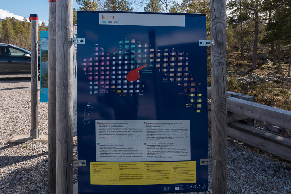
An overview map of Laponia and other information is available from laponia.nu website. Note however that the Swedish version of the website is more complete.
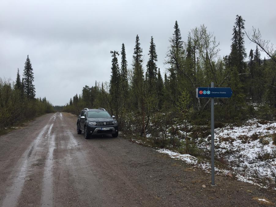
1. The trail to the Oarjemus Stubbá fell begins from a gravel side road, about 200 m from a turnoff from the Road E45, some tens of kilometers south of Gällivare. The sign on E45 is tiny and easy to miss at the allowed 100 km/h speed.
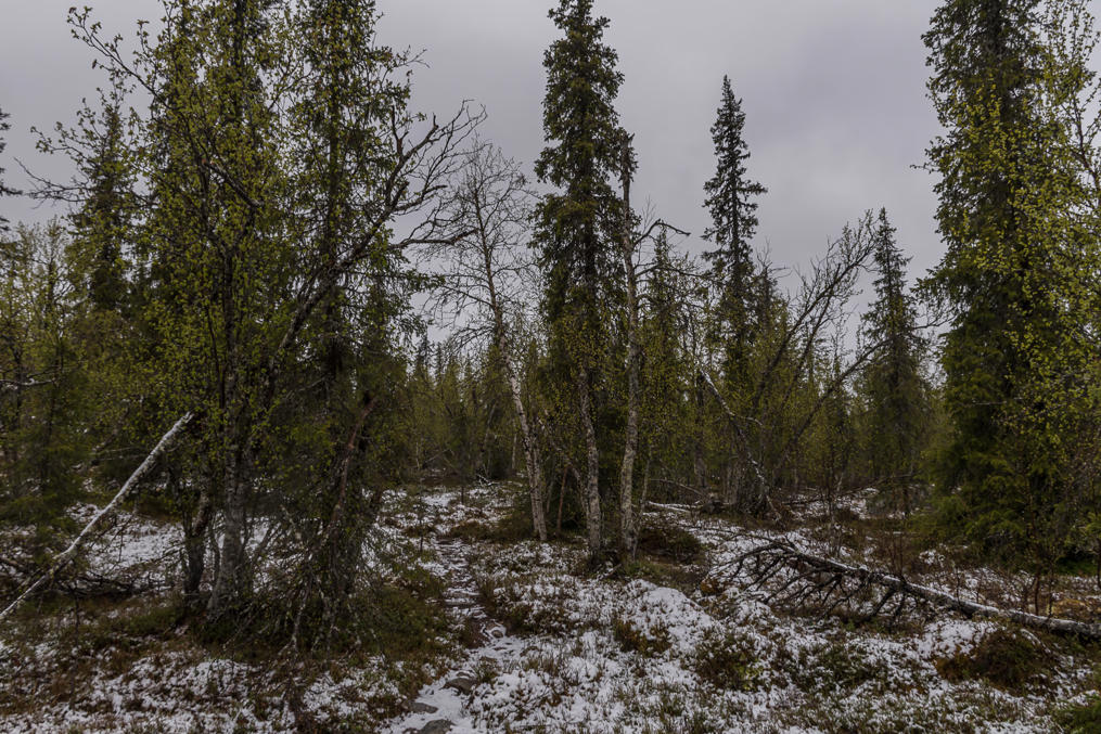
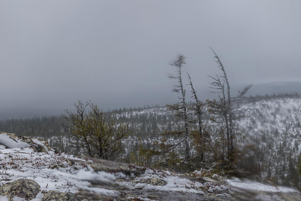
2. I made the hike on the same dreadful weather day as visiting Gällivare, and here on the fell there was still plenty of fresh wet snow. The trail is unmarked, but is generally not difficult to see in the terrain. I never met a single person on this trail.
3. The trail is quite short (a bit over 1 km), and while it climbs some 150 meters, the climb is also rather gentle. This is really a very simple mountain to visit.
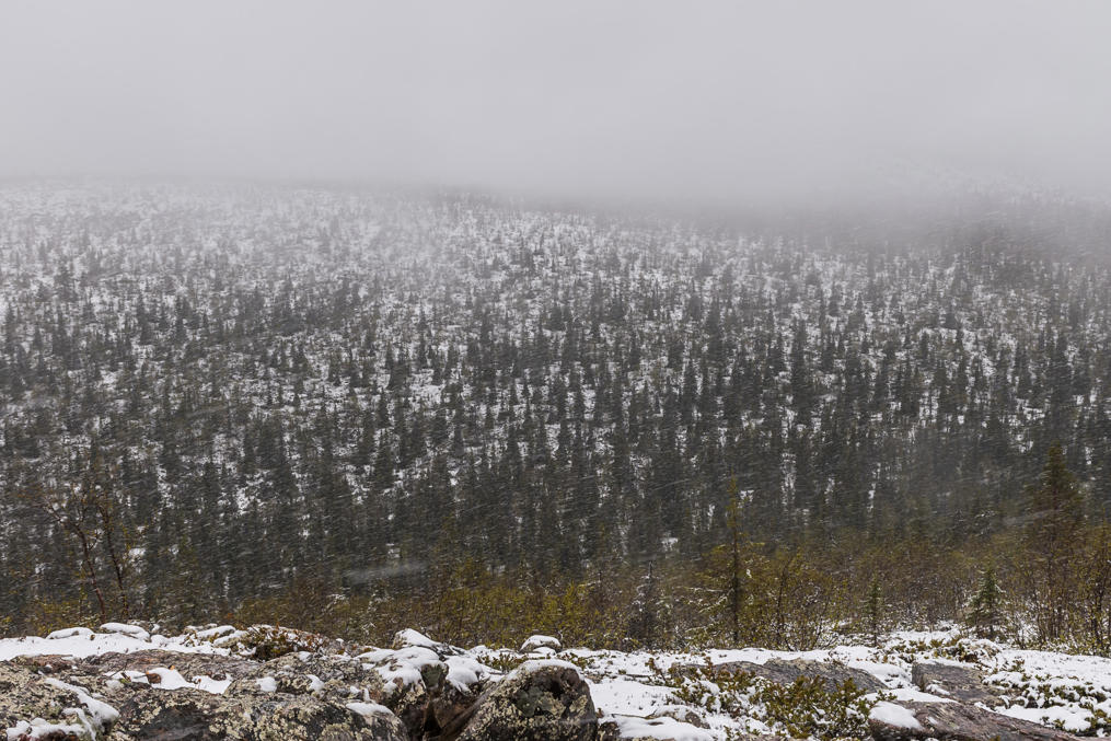
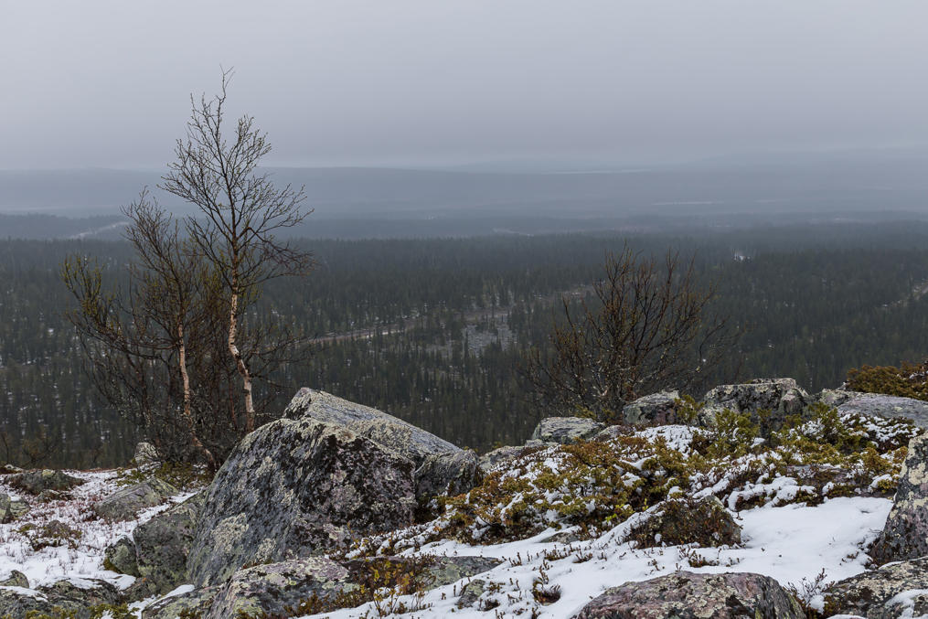
4. The weather got worse as I walked to the top.
5. Above the treeline it was basically impossible to keep the lens glass dry.
6.
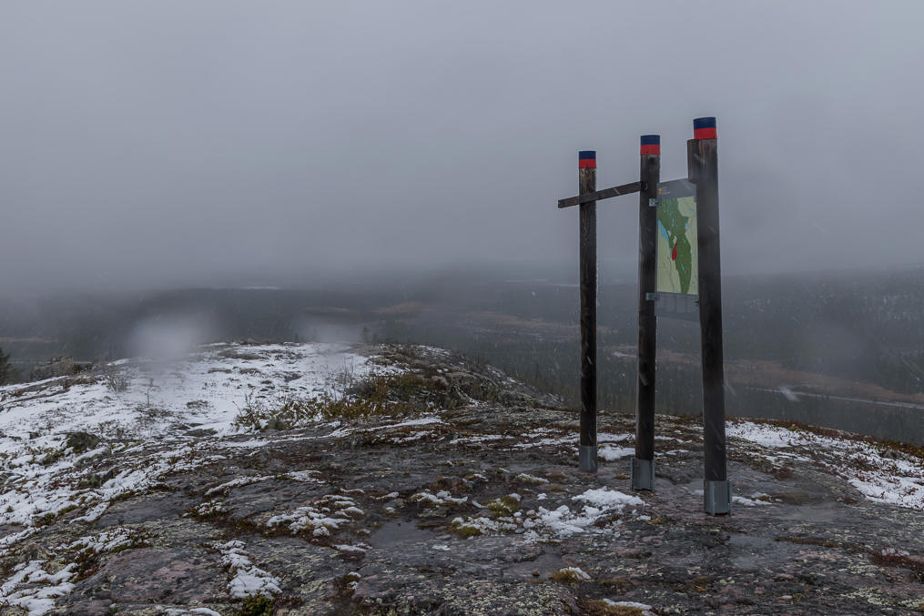
7. Obviously I could not see much around the mountain, but at least there is an information sign on top, at 658 m over sea level.
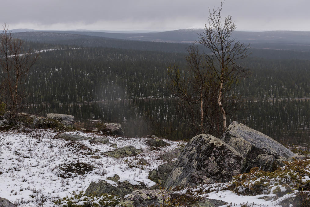
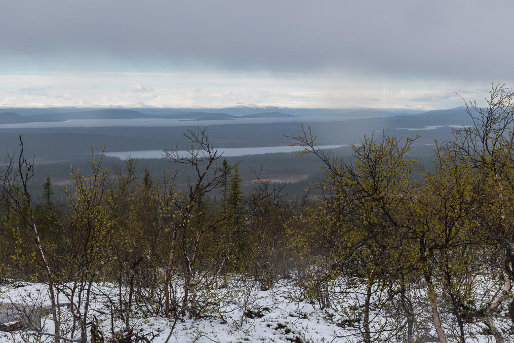
8. But as I was going down, the weather began to change rather abruptly. Sunny weather was coming from the west, and I could now clearly see the Stora Luleälven river and the outline of the snowy mountains beyond it.
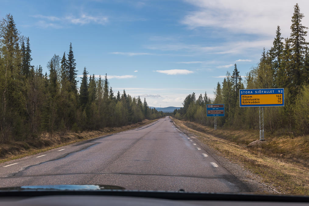
9. After getting back to the car, I drove on to the Stora Sjöfallet National Park. The roads were quickly getting dry already. The road branches off from E45 a bit to the north of the Porjus village. It is a very long and very empty road, constructed originally as an access road for Vietas and Ritsem hydro power plants. Both of them are located in the upper reaches of Stora Luleälven, already in the Scandinavian Mountains proper.
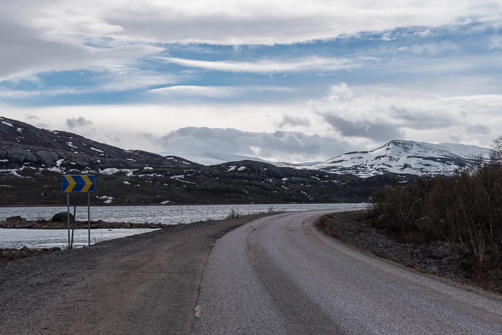
National park area starts in 70 km from the turnoff from E45, and the Laponia visitor center is at 92 km. The road gets worse and narrower afterwards, ending at Ritsem, quite deep in the mountains. I didn't plan to go as far as Ritsem though, just to the visitor center and the areas immediately around it.
There are obviously no gas stations anywhere along this road, so you should make sure you have enough fuel. The closest gas stations is in Porjus. In summer season there is also a public bus from Gällivare.
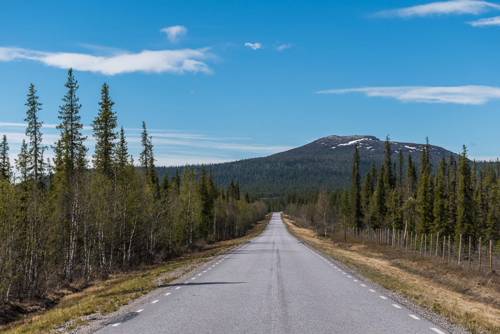
10. It of course takes some time to get to the mountains. At first you'll be seeing just fells.
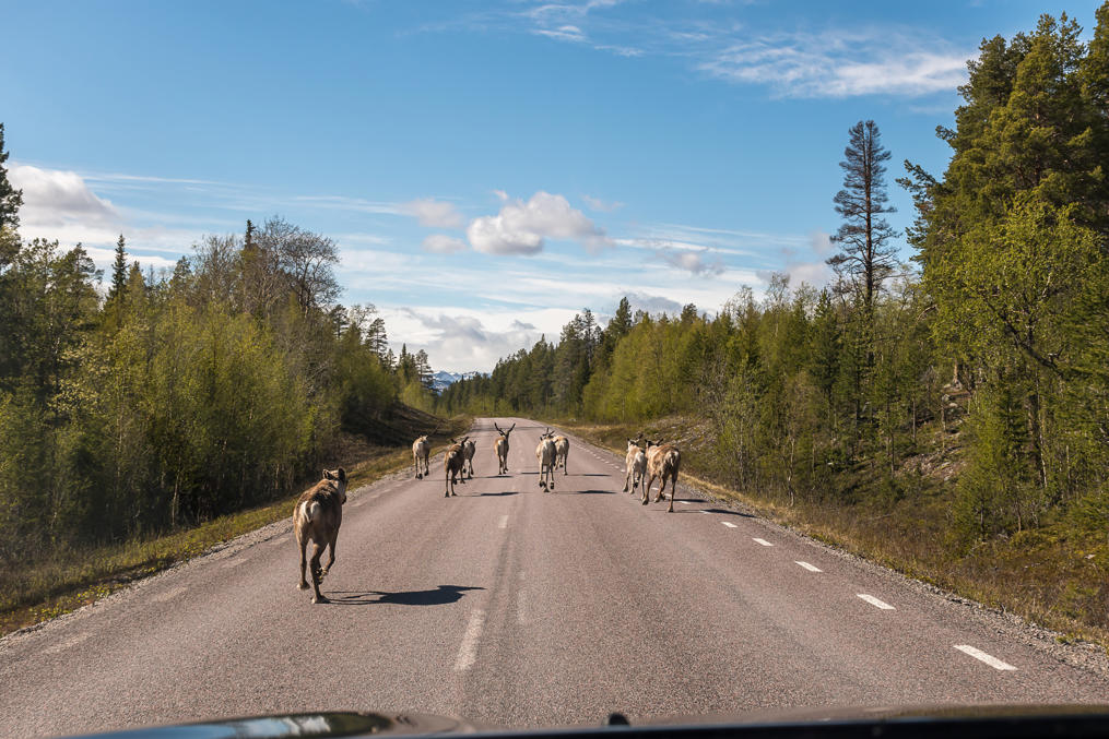
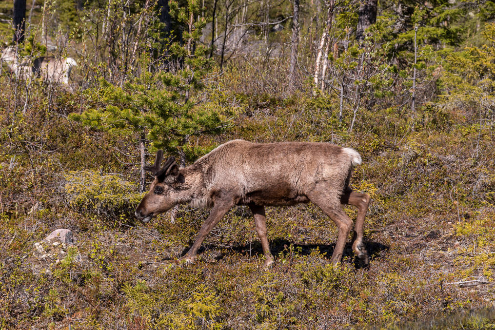
11. And of course there are reindeers! Finally a nice big herd of them.
12. Like all mountainous areas of North Sweden, upper Stora Luleälven valley is used for reindeer husbandry by the Sami people. The reindeers generally move higher to the mountains for summer, and lower to the forests for winter. I'm not sure it's an absolute rule though; generally when travelling around the north you encounter at least lone (lost?) reindeers in virtually all areas.
13. The good parts begin!
14.
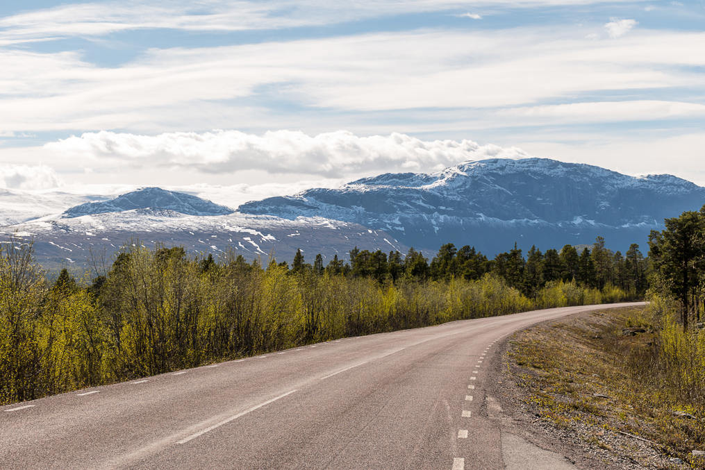
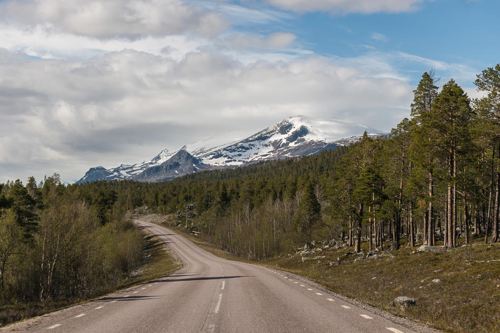
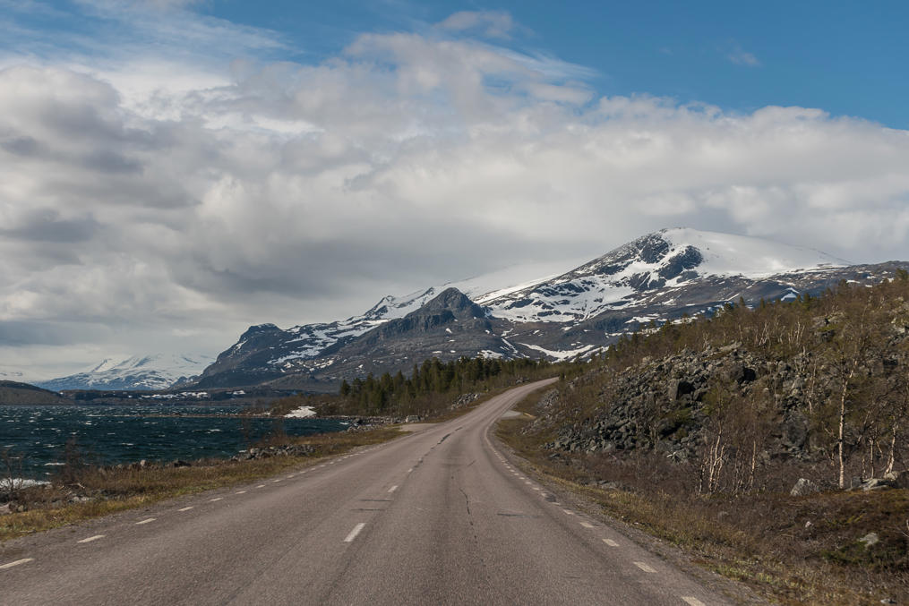
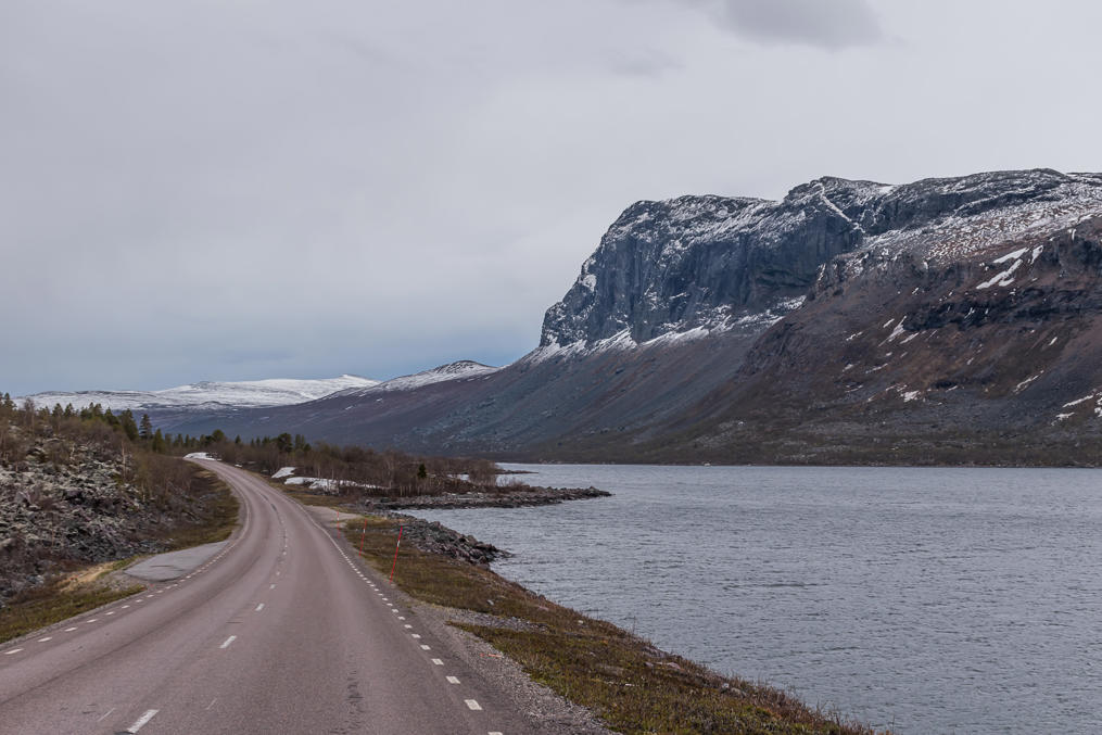
15. Certainly this must be one of the most scenic roads of Sweden.
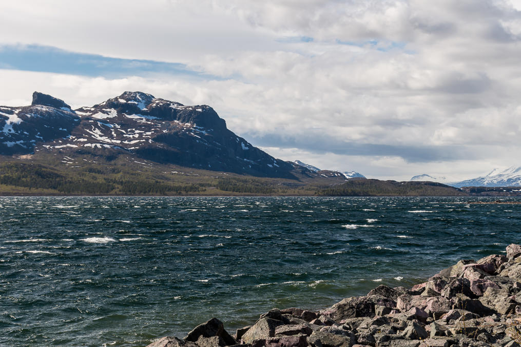
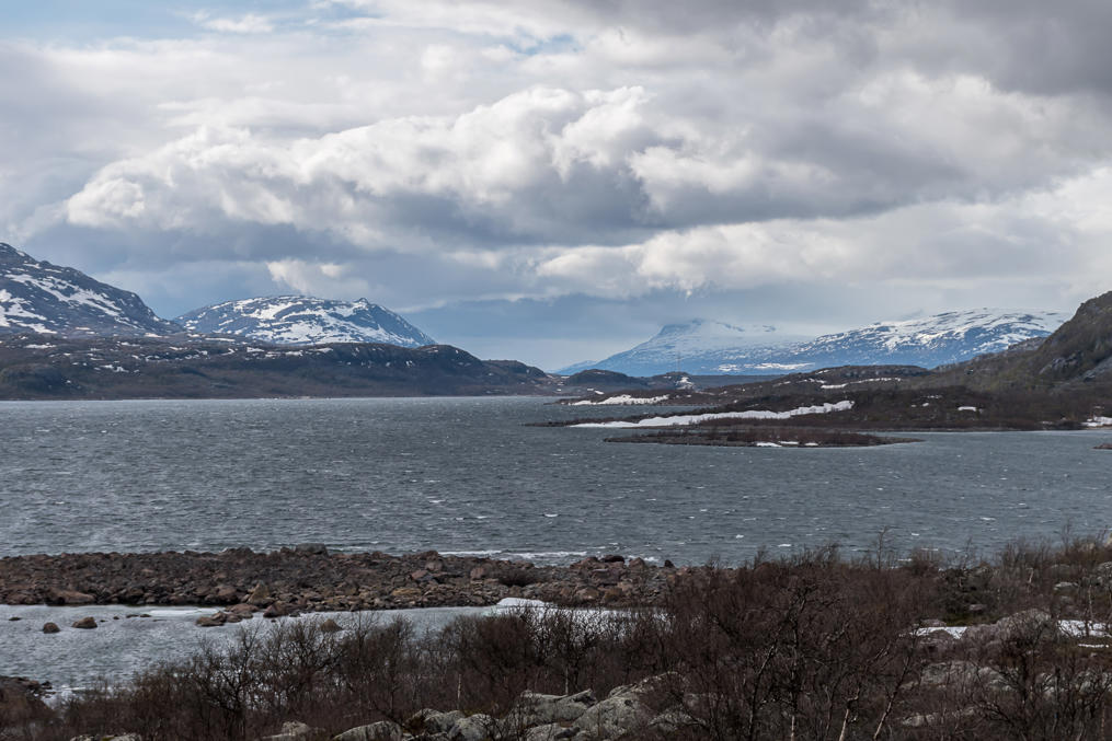
16. Although it is in its upper reaches, Stora Lileälven also gets more impressive there, over a kilometer wide along a big stretch. Presumably it is actually more like a reservoir for the downstream hydro power stations.
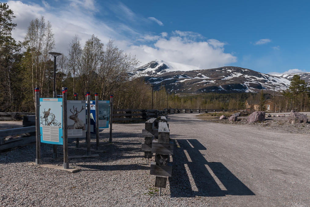
17. And eventually you arrive to the visitor center. The large parking lot was completely empty. The visitor center is located at Vietas, close to the waterfall that gave the name to the national park, and the hydro power station that basically killed that waterfall. I'm not sure that Vietas qualifies even as a village. There are a few houses on the map, but I didn't even really notice them (and they're probably more likely to be summer residences).
18. The information board shows you the parts of Laponia. The yellow part on the far right is Muddus; the blue one in the middle, with the "you are here" hand, is obviously Stora Sjöfallet. Then the bigger area with a greyish color to the southwest is Sarek and another big one to the left, in purple, is Padjelanta. Both these national parks consist entirely of wilderness. Unlike Stora Sjöfallet or Muddus, there is no road access to them. It takes a full day of hiking to get from Stora Sjöfallet or from Kvikkjokk village (at the end of another dead-end wilderness road) to the edge of Sarek. Padjelanta is even farther, although it might actually be easier to reach it from Norway, I'm not sure. But Sarek is wilder in any case; there is a reasonably well-known hiking trail through Padjelanta (named, appropriately enough, Padjelantaleden), but there are no marked trails or any shelters or anything in Sarek. Well, the rather famous Kungsleden trail barely skirts through in the east, but only briefly and not reaching within the mountain massifs.
Other areas shown, including the huge pink one, are nature reserves of lesser fame (not national parks and less interesting for tourism), but still they form the rest of the continuous Laponia area, a UNESCO World Heritage site.
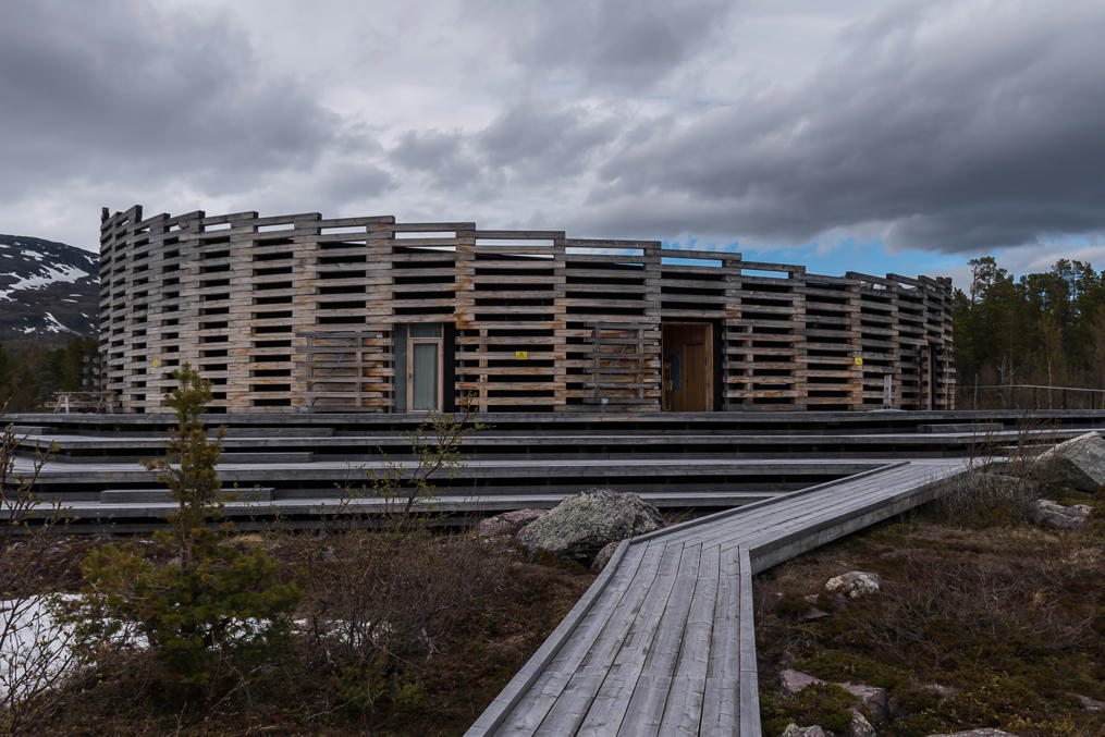
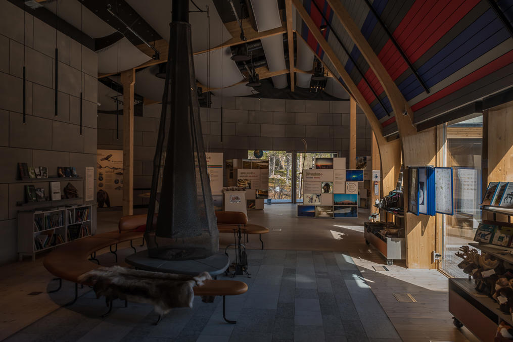
19. And this is the visitor center.
20.
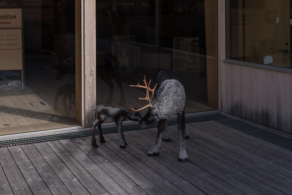
21. As is usual for such places, it has a nice free exhibition about the local nature. There is also a tourist store and a cafe. Since I was the only person there, apart from the personnel, I felt rather awkward.
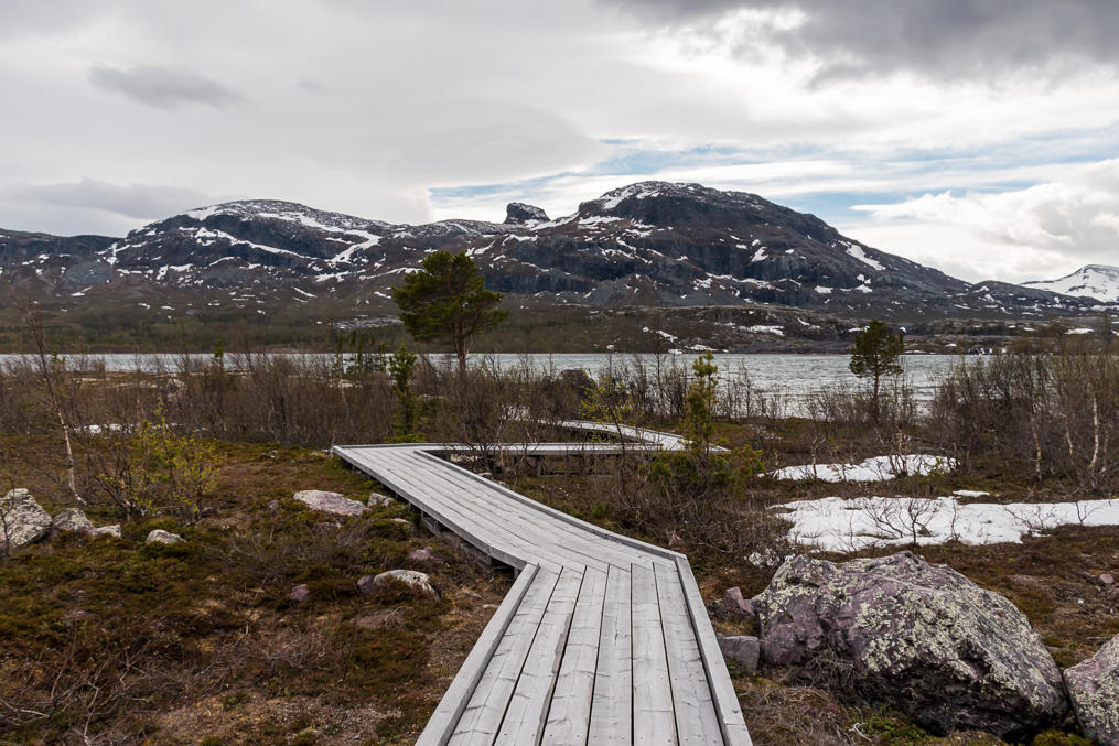
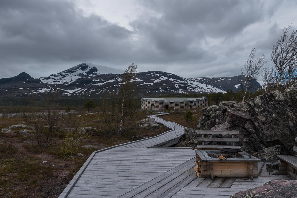
22. Outside there is a wheelchair-accessible track going to the shore.
23.
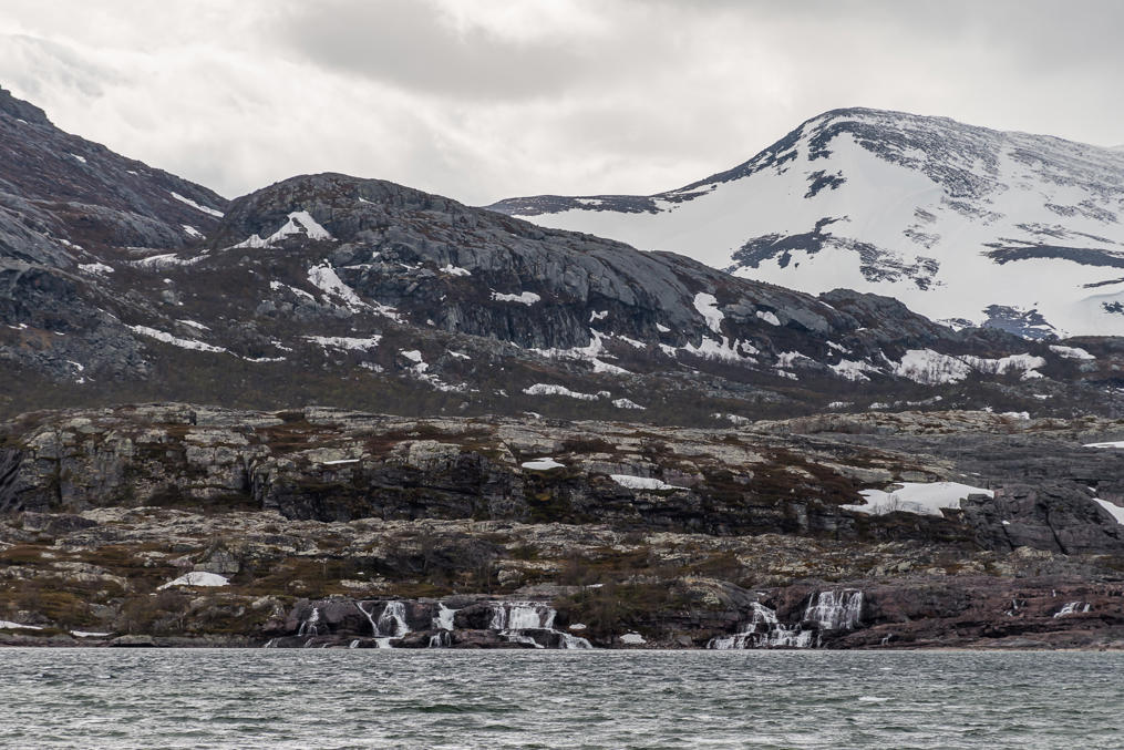
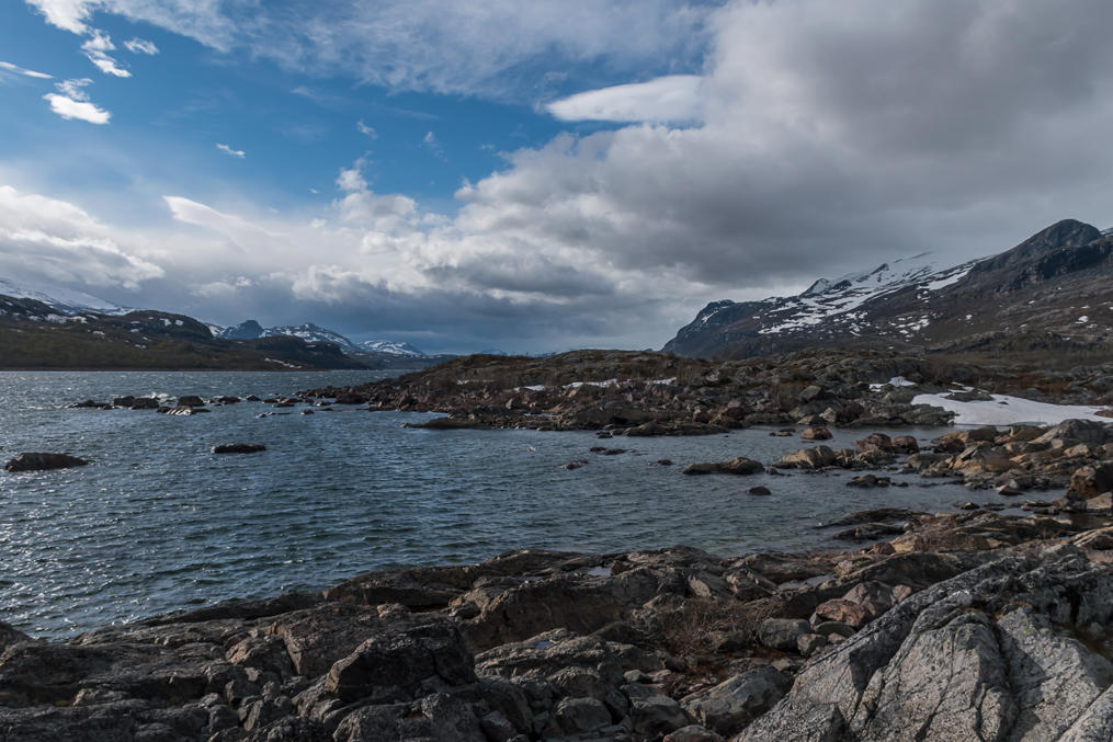
24. And from the visitor center shore you can see some waterfalls on the opposite shore, looking not especially impressive at this distance. This is where the great Stora Sjöfallet waterfall, called Stuor Muorkkegårttje in Lule Sami, used to roar, before the construction of the Vietas power plant.
The waterfall used to be known as the "Niagara of the North". Stora Luleälven was falling there from 415 m to 375 m over tge sea level. Quite a few people were coming here to see it, even though it was much more difficult at the time, when the road did not exist. The waterfall was mostly extinguished with the launch of the Vietas power plant in 1971, however.
25. Although Stora Sjöfallet national park is generally better suited for multi-day hikes, there are a few short day-hike trails around the visitor center. For some reason this is not really advertised well, and you won't find them on most maps. The only map I could found is here.
As you can see, there are two trails going to the closest mountains (they don't reach the tops but I suppose you could continue from there), and a trail going to the actual waterfall. I was planning to both visit the waterfall and climb up into the mountains. However in the end I only did the first part and felt I was getting tired for the day already.
This trail starts from the side of the road (that continues on to Ritsem) in about two kilometers past the visitor center. There is enough space for cars at the side of the road, but I was yet again the only person here.
26. The trail is not overly long (was it 3 km in one direction?) and there is nearly no elevation gain, so you'd think it would be an easy walk. It's not. The terrain here is quite rugged, and you are walking on uneven rocky ground all the way to the end. It is not really bad, of course, but it was annoying because it was more difficult than I expected.
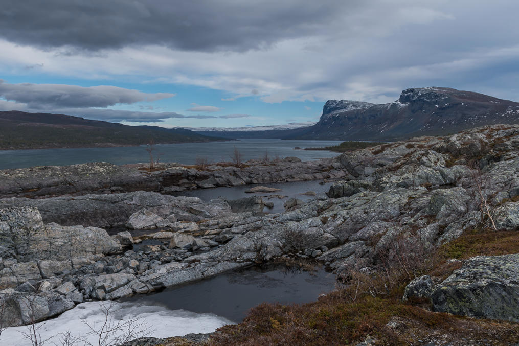
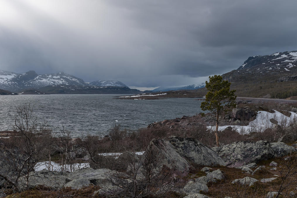
27. But the views from the trail are also better than you could expect! In the southeast in particular you can see the lone visitor center, somewhere at the foot of the Juobmotjåhkkå mountain. Sadly while I was at the visitor center the weather got a bit worse again; no rain or snow, but no sun either.
28. And this is the view upstream, in the direction of Ritsem and Norwegian border.
29.
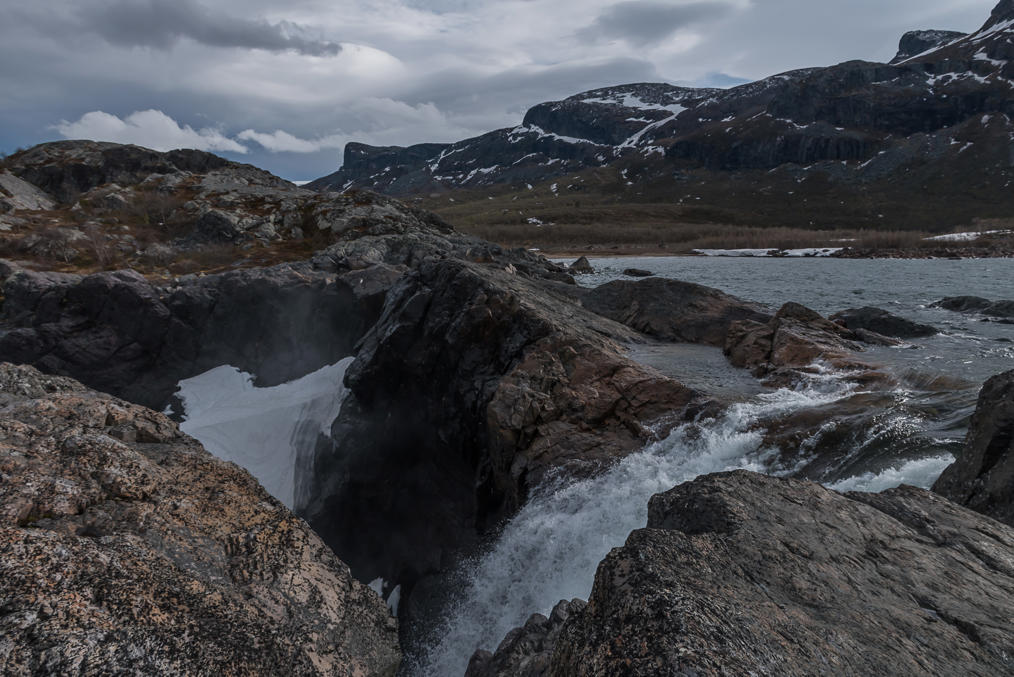
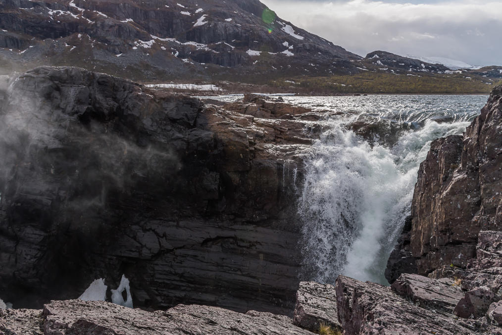
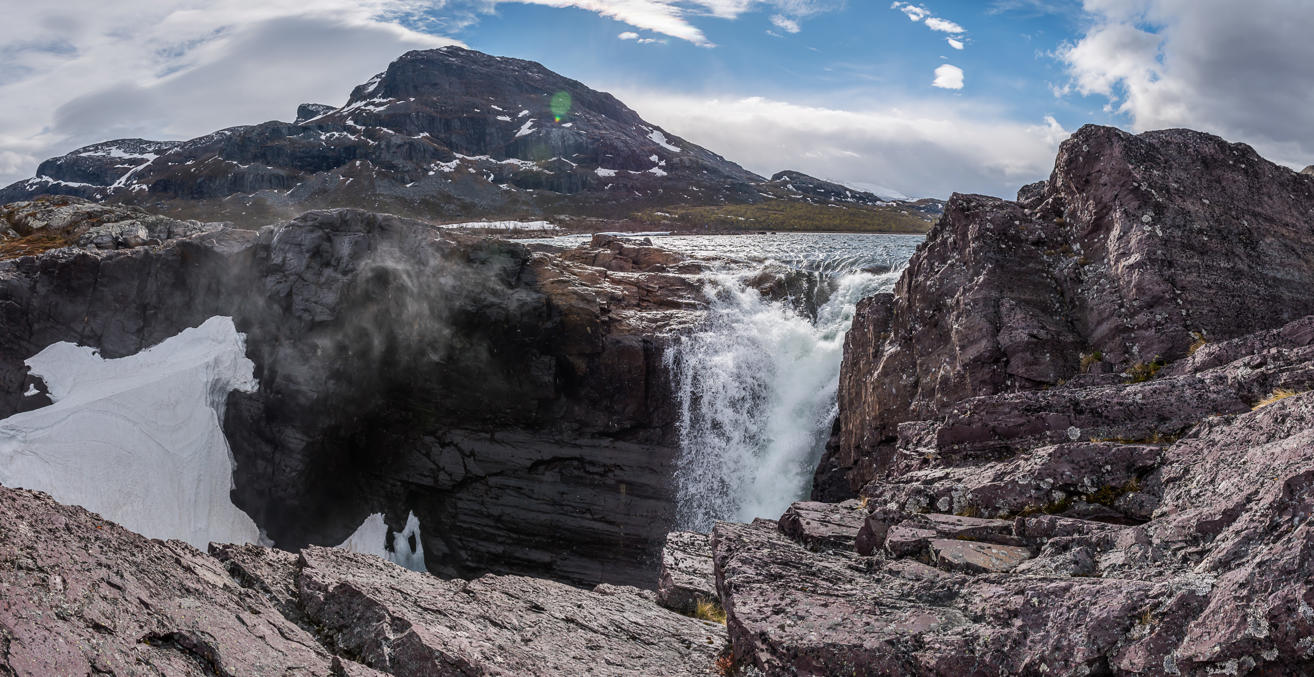
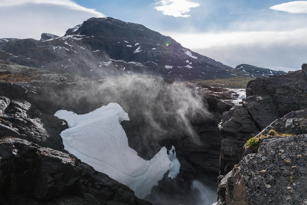
30. And eventually I reached the waterfall remnant.
31. Even now it still remains by no means a small waterfall, and a good looking one too. My bigger frustration was that it does not in fact seem really possible to see it in its entirety from anywhere. The picture shows it about as good as it gets, although I crawled around the rocks a fair bit looking for a better view. Maybe you could descend to the bottom somehow (but I doubt it). Maybe you could also approach it from the opposite shore.
The latter option is also going to be tricky. Stora Luleälven in the national park can be crossed in only a few places. There are two boats for tourists in the season; one of them at Ritsem, and another downstream of the visitor center, on the main route of the Kungsleden trail, carrying people to Saltoluokta — one of the few "mountain stations" (fjällstation) of Swedish mountains, entire hostels in the wilderness. And probably you could also cross at the dam at Suorvva some kilometers upstream, but on that one I'm not entirely sure.
32.
33. Nope, can't see it from here either.
34. Well, okay, I'm going back to the car.
35. Although the main road continues to Ritsem, there is also a side road here at Vietas. It wasn't too long on the map so I tried to drive there out of curiousity; driving is generally easier than walking, after all. The road is of pretty bad quality, with big potholes.
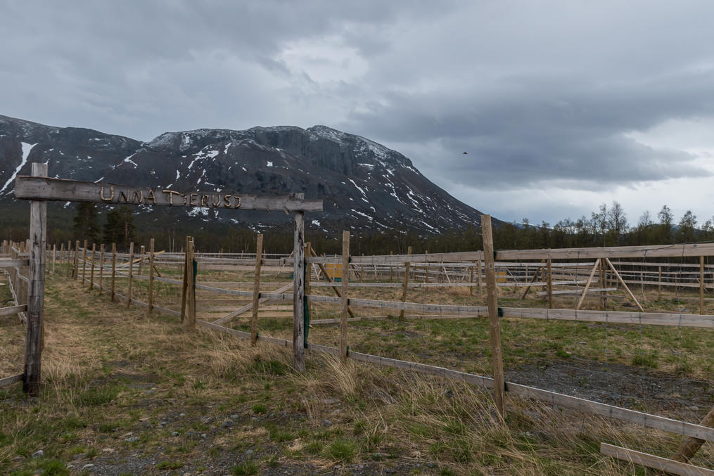
Soon I came across this place. The sign says Unna tjerusj, and this is the name of the Sami village of these lands ("Sami village" actually meaning a big chunk of the wilderness used for reindeer husbandry and other livelihood by the Sami). I'm not an expert but I believe this is a fence for rounding of reindeers in spring (for marking calves) and autumn (for slaughter).
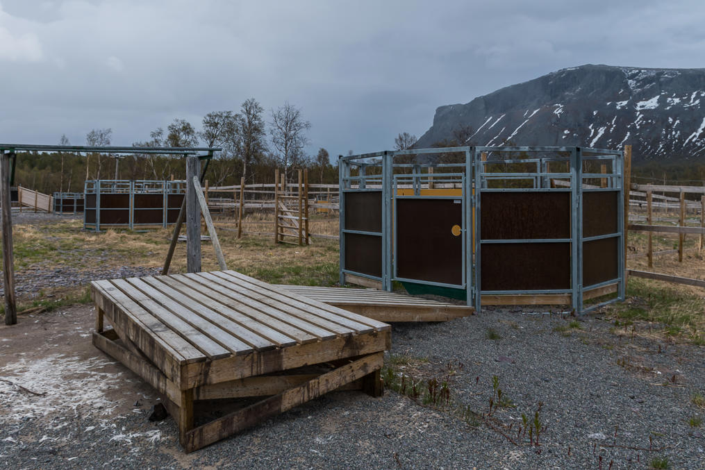
36. And indeed these small enclosures are probably used for the actual slaughter. They are full of reindeer droppings, the poor things probably get scared to death before, well, their actual death. And then I guess, the carcass is dressed on this platform. To the left of it you can see the remains of reindeer hair. Ugh. I love reindeers and I love Lapland because you get to see them so often, but I sure wouldn't want to be an actual reindeer herder, because this is how it all would always end. Still I believe reindeers have it best of all domesticated animals. They basically live in the wild all their lives, and at no point are stuffed in some cramped smelly pens.
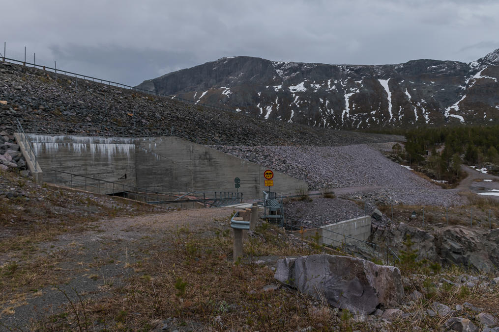
37. The side road continues on to a dam. This is one of the two dams of Vietas. That power plant has a rather unusual design; it actually runs on water from two different rivers, Stora Luleälven and its tributary Viedásädno. The Stora Luleälven dam is located in Suorvva, somewhat upstream of Vietas, and the Viedásädno dam is here at the end of this side road. And the power station itself is actually underground between them.
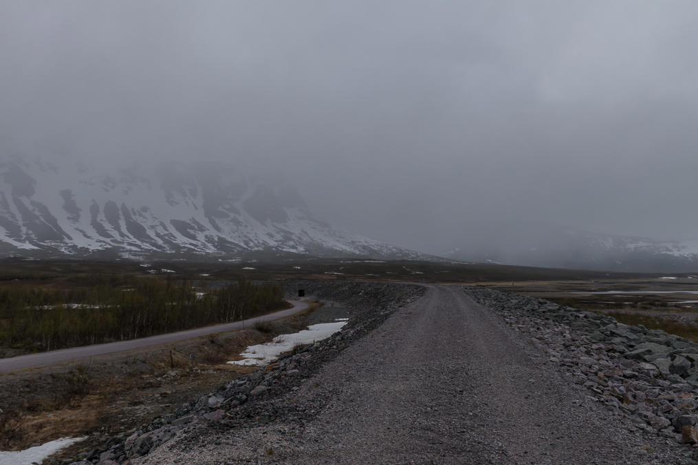
38. The road actually goes on a bit farther along the reservoir, but it is unplowed in winter and I soon ran into an impassable snow pile. Well, there wasn't much more to see in any case; the weather was getting poor again.
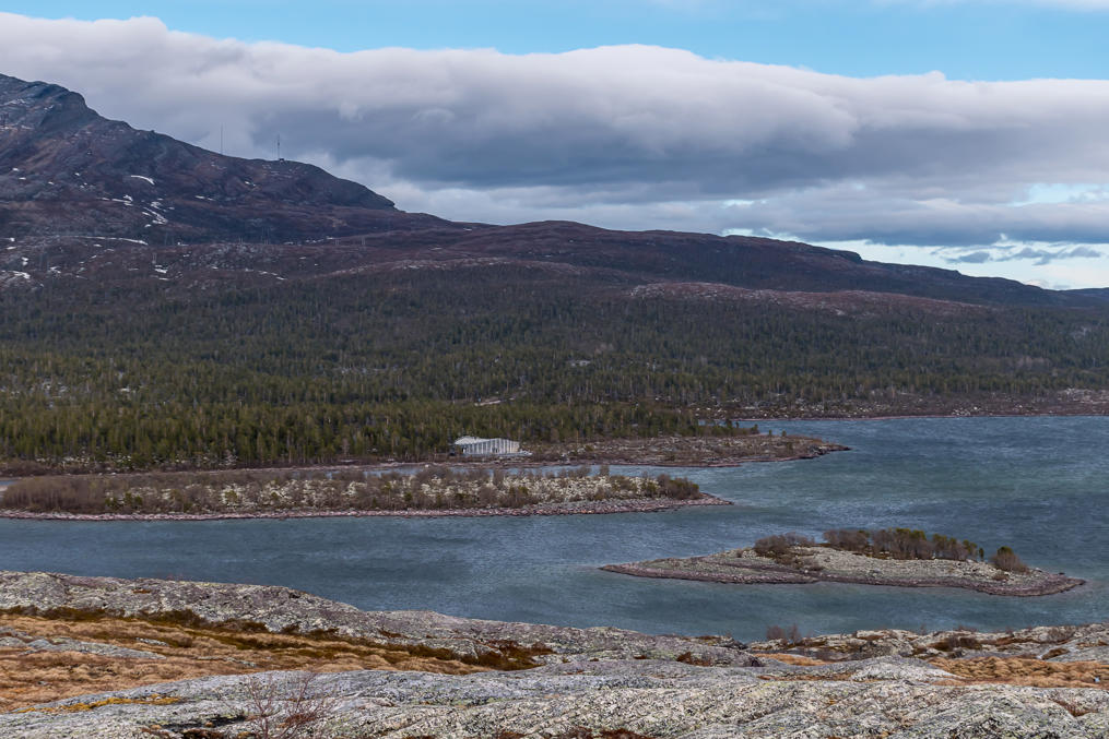
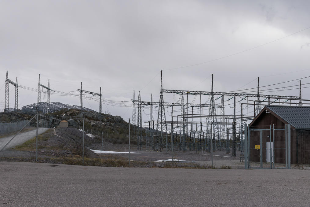
39. The above-ground part of the Vietas power plant. Most of it is reachable only through a big locked tunnel, not very far from the place where the waterfall trail starts. The power plant is probably unmanned, as most of them are these days. Its power is 306 MW, which is not small but still much less than the Harsprånget that I mentioned in the previous post.
40. The road back to my AirBnB-house in Nattavaara. Goodbye mountains, I didn't really get to know you this time, but I will return someday. Well, hopefully.
41. The next day I went to the main part of the Muddus National Park. The Lule Sami name is Muttos. Apart from a few fells, like the Oarjemus Stubbá, most of this national park consists of forests and mires. I would personally say its nature is comparable to Oulanka, one of the most famous national parks of Finland, located also in the north but outside of fells/mountains areas.
The original plan was to go for a two-day hike in Muddus, so I packed in sleeping gear when preparing for the trip; but the first two days were so busy with exploring that I didn't really feel I had enough strength remaining. So I opted for a day hike, and the most popular day hike in Muddus is the one to the Muddusfallet waterfall, or Muddusagahtjaldak in Lule Sami. Yup, yet another waterfall.
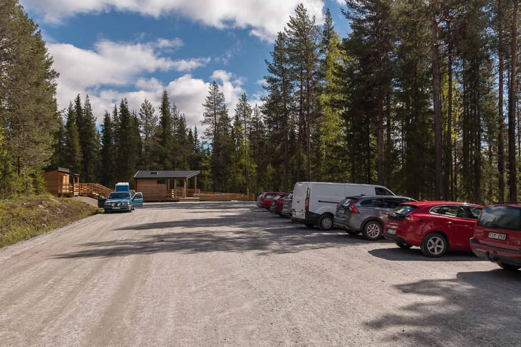
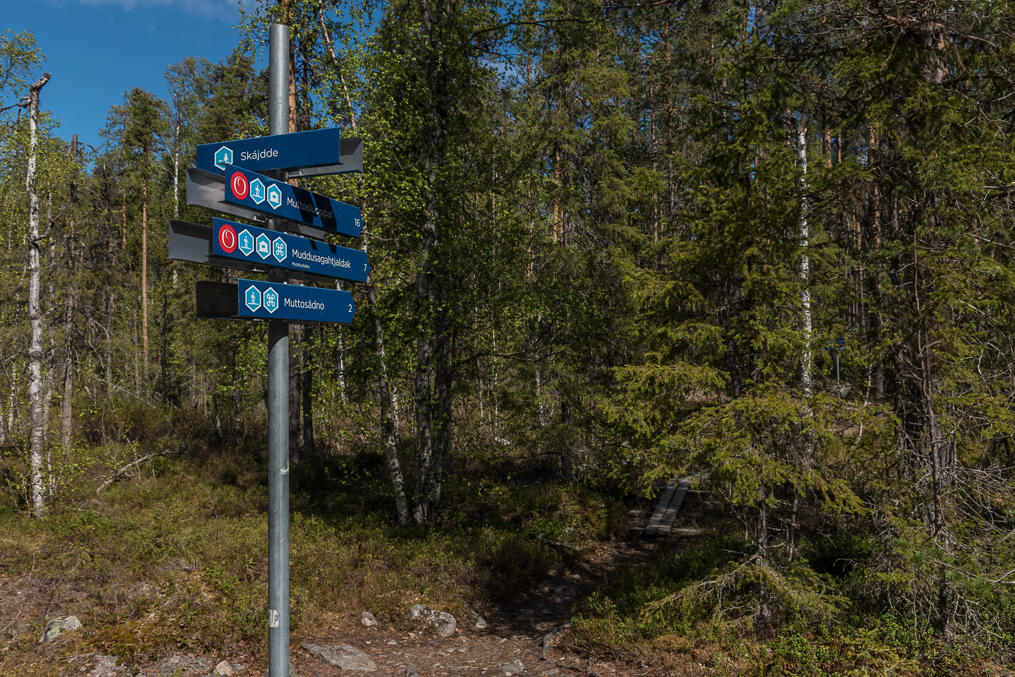
The shortest (7 km in one direction) trail to the waterfall starts at the main entrance (Skájdde), in the southwest of the park, 10 km from Ligga hydro power plant on Road E45 by a gravel road. So although Nattavaara, where I had been staying, is not very far from Muddus, I had to do a rather big detour through Messaure. The entrance reminded of Finnish national parks; a gravel parking lot, a shelter with a grilling place and a toilet, and signs at the trailhead. And as you can see, this place was quite popular, unlike the ones before that! Both because the weather on that day was very good, and because the hike itself is fairly simple.
42. The only difference with Finland was of course that the signs were in Swedish style.
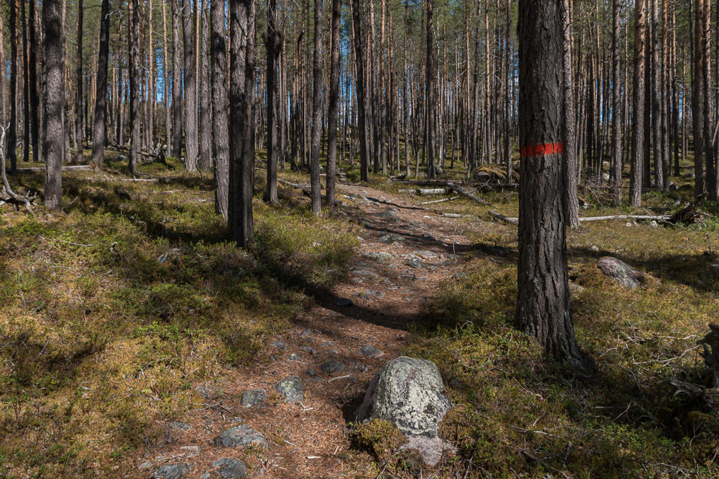
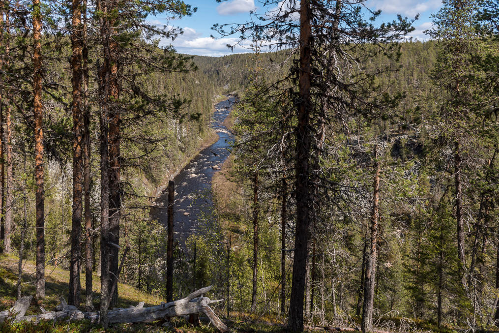
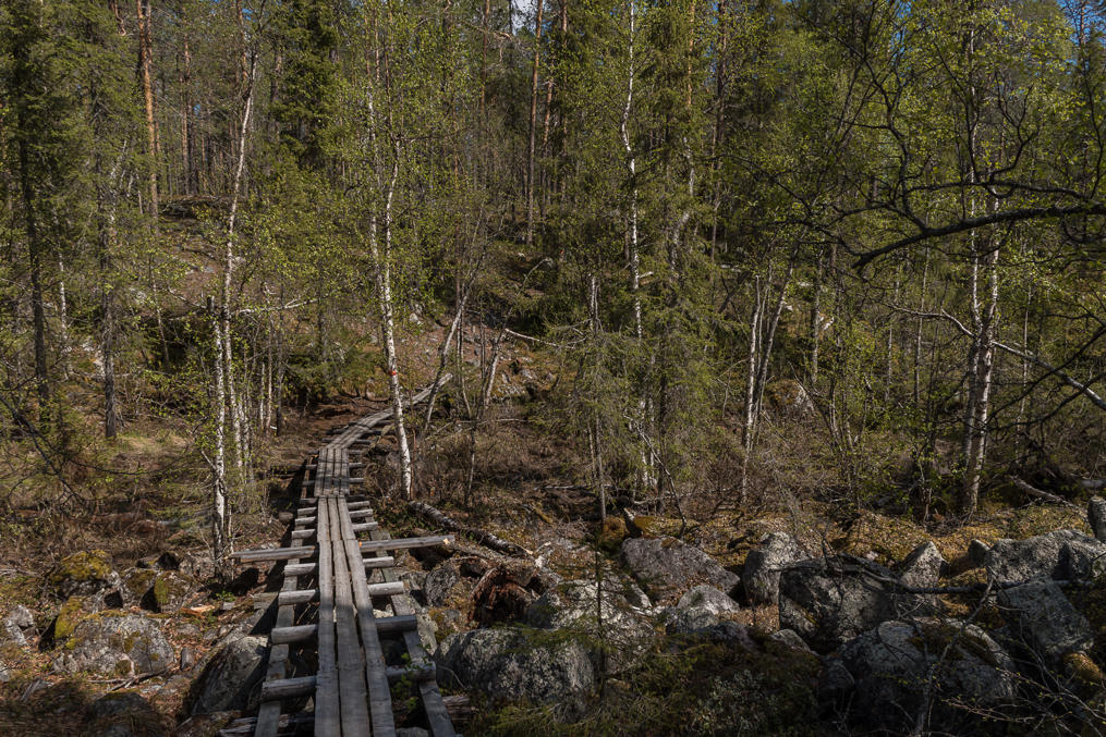
43. The trail to the waterfall follows the west side of Muddusälven (Muttosädno) river canyon, up the river to the north. At the beginning and also at one place afterwards it temporarily splits in two, with a steeper path on the canyon edge, and a shallower one taking a small detour through the woods. I would recommend taking steeper, somewhat more difficult paths at least in one direction; otherwise you won't really see the river all that much until the end.
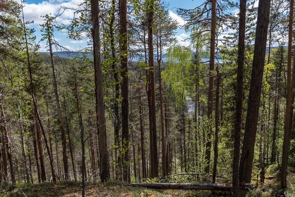
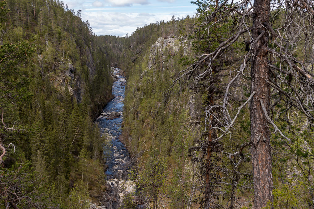
44. Not that it's very easy to see from the steeper path either due to the trees. But here and there there are some places where you can see the river swirling below.
45. Looking back to the south, you sometimes can glimpse a much bigger body of water in the distance beyond the treetops. This is again Stora Luleälve, or rather its Messaure reservoir.
46. Otherwise the trail is going through some rather regular northern woods.
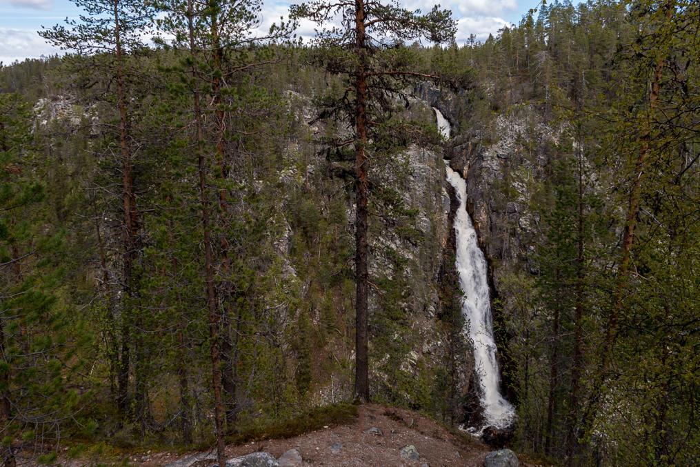
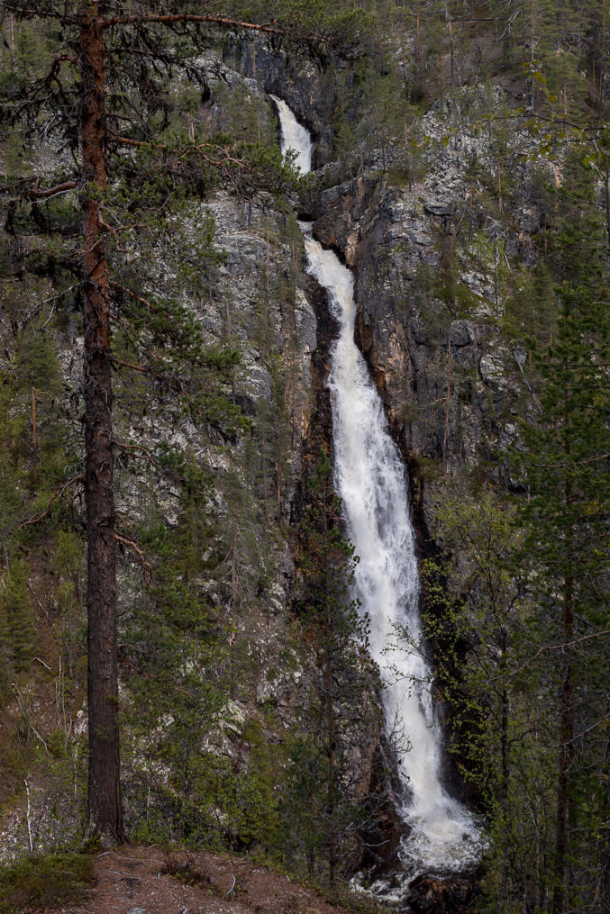
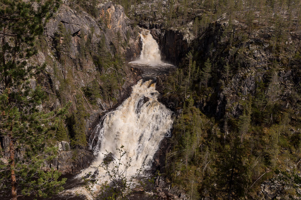
47. Up until you see a waterfall. Now this might come as a bit of a surprise (which of course I'm spoiling here), because the waterfall should actually be a kilometer or two ahead of this place! Indeed this is another waterfall, which is not mentioned on the maps. The river falling into the canyon on its east side is called Asjkasbäcken (Asjkasjåhkå), and the waterfall is accordingly named Asjkasfallet.
48. But it's quite beautiful, and would be alone a sight worth of a hike. Although the side river is pretty small, the fall is about 65 m high, as far as I can estimate from the topographic map.
49. After the smaller waterfall canyon walls get nearly vertical.
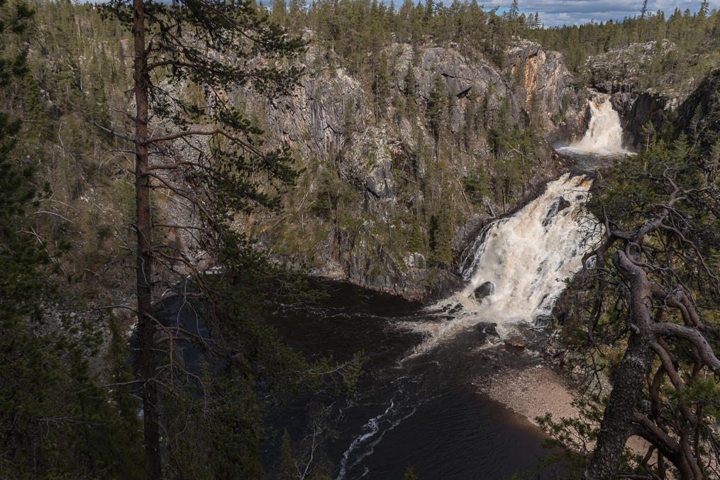
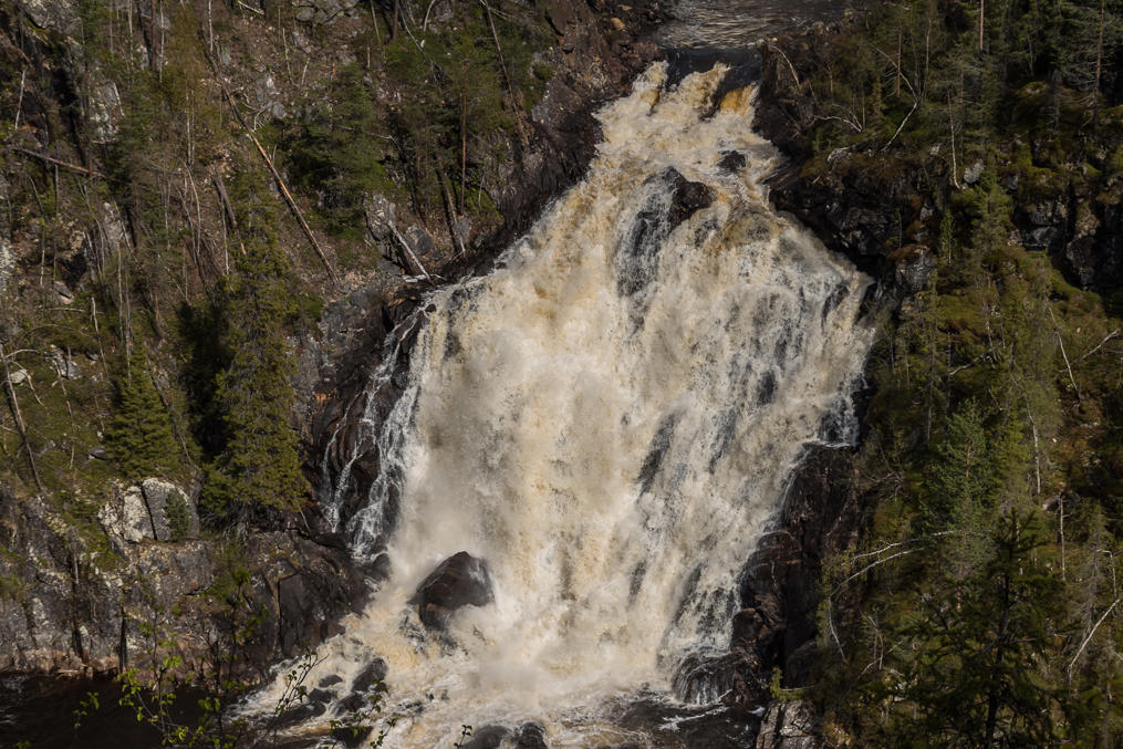
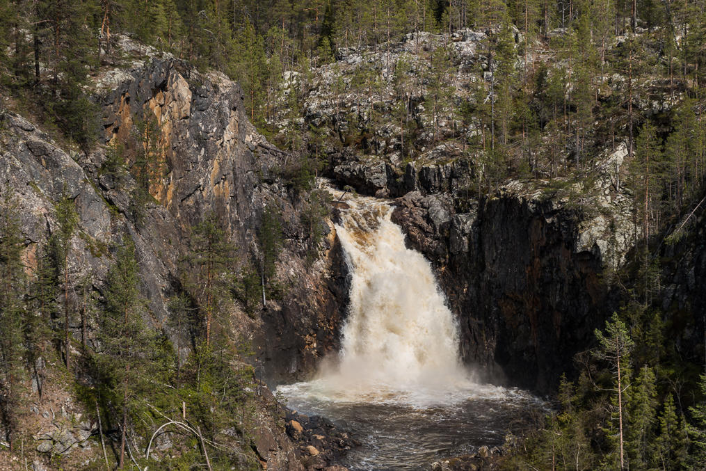
50. And in a kilometer or so you finally see the real waterfall. Muddusälven here makes a 90-degree turn and falls into the canyon in two drops.
51. The canyon, correspondingly, actually begins here as a pool at the bottom of the waterfall, surrounded by sheer drops on three sides out of four.
52. The upper drop.
53. And the lower one. The waterfall is 42 m high, according to some random website. I could not find any flow figures.
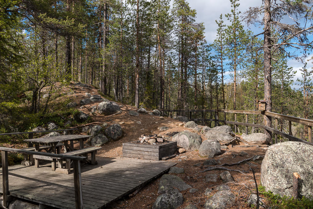
54. Rest place near the waterfall. The trail continues on from here and follows Muddusälven through flatter terrain, all the way to the vast mires where it is born.
55. But for me it was time to turn back. I got back to the car, and drove home to Vaasa, 750 km and 9 hours, getting home well after midnight. Thankfully I didn't have work on the next day.
Thus this small but rather intensive trip to North Sweden in May 2019 ended. Hopefully I will come back yet in the foreseeable future. It was a great pity to leave without climbing a single mountain (other than the modest Oarjemus Stubbá)! But at least I got to see the north for the first time in 2019, the second year in a row when I had quite a bit less travel than I would have liked — as 2018 was my first year in Finland, and in summer 2019 I moved in Finland from Vaasa to Espoo, which took quite a bit of money.
