January 2019 has come, and these are some picture from two days ago, when it was still December 2018. I went to check out again the place which by now is pretty much my favorite spot in the Kvarken Archipelago and in the vicinity of Vaasa in general, the Vikarskat-Finnhamn trail. It ended up one of those times when the nature and light is so good that even pictures taken from a phone (as I still don't have a new camera yet) look pretty neat.
The trail is a short one (2.5 km, non-circular), and is located on the same Björkö island as is Svedjehamn fishing village, Saltkaret observation tower and Boddvatnet runt trail, which all are pretty much the most advertised places of Kvarken. Vikarskat trail in comparison is rather obscure, and I'm not sure it is mentioned anywhere other than Korsholm Municipality website. Getting to the trailhead is easy by car, just drive almost all the way to Svedjehamn via Road 724, Replot Bridge, Replot and Björköby, and turn right onto Vikarskatvägen road right before Svedjehamn. Follow the signs for fish harbor (Fiskehamn) for about 4 km of gravel roads, you'll have to turn left at a crossroads in the middle of the forest shortly before the end. You'll indeed reach a small fish harbor, with ample space to park a car, and there the trail starts. The beauty of the trail is that you get a lot of views of the open sea, and keep hearing its roar throughout the hike even inside the forest. There's also an open wilderness hut and a campfire place at the end.
The weather on 30.12 was mostly sunny (for the third day in a row) and not especially cold. Rivers, lakes, sea coast in Vaasa and within archipelagoes in general have frozen over, and icebreaking season has started a few days ago in the Bay of Bothnia, with icebreaker Otso, followed by Kontio, moving there from Helsinki and assisting at the northernmost ports of Tornio, Kemi and Oulu. Here in the open sea of the Quark (Kvarken Strait) there are still not many sights of sea ice.
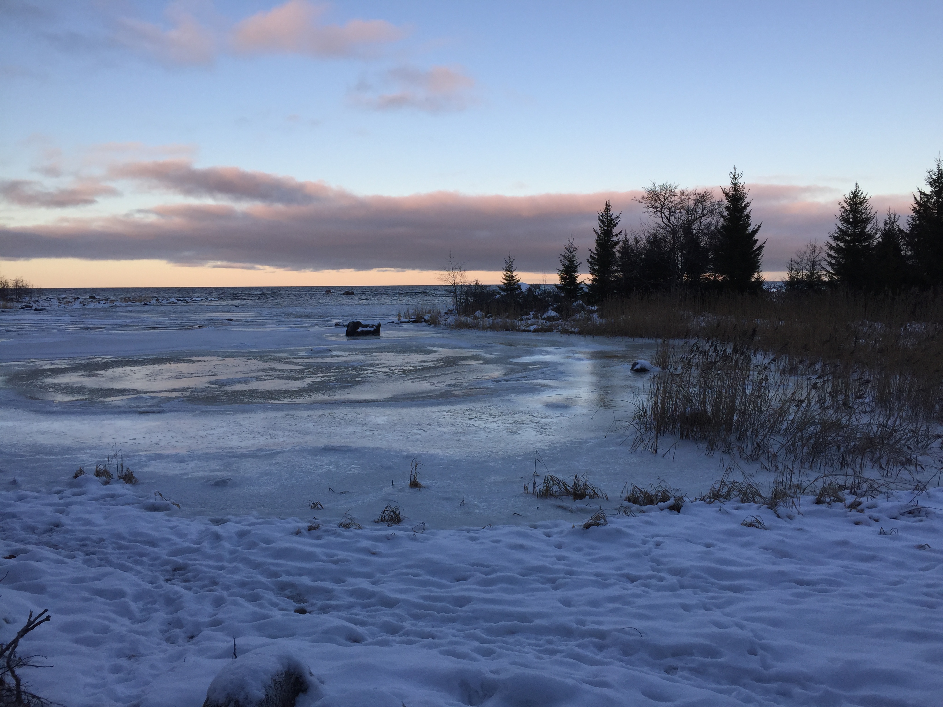
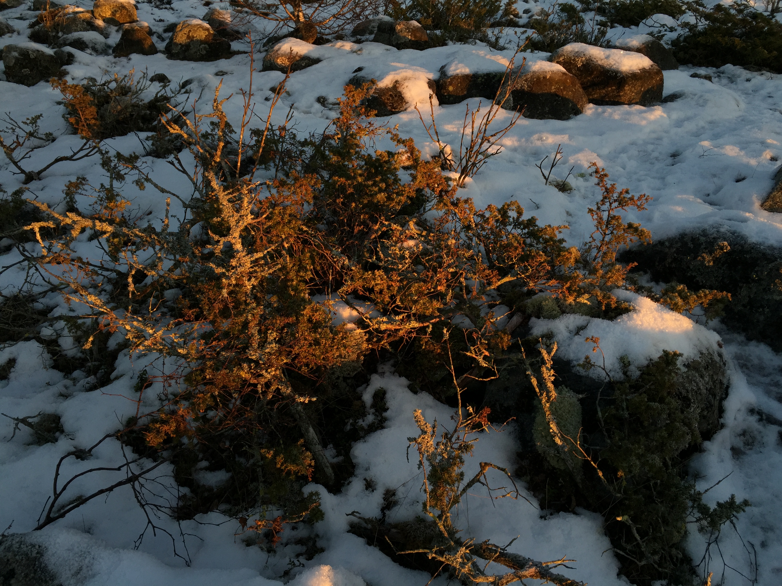
1. A small frozen bay near the beginning of the trail.
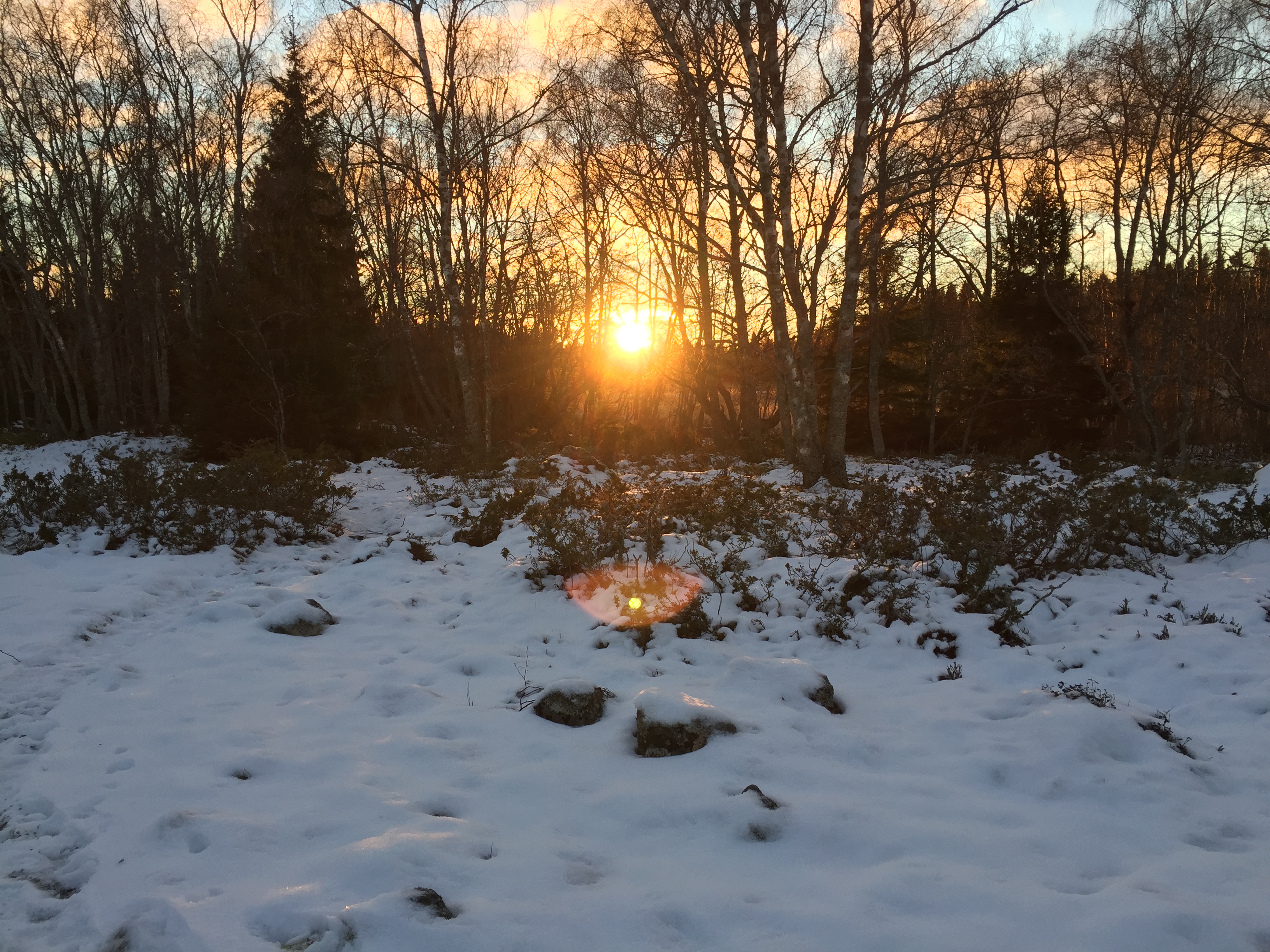
2. Days in Ostrobothnia are very short in December. The shortest day of the year, winter solstice, was just 4 hours 40 minutes long (it got over 10 minutes longer since). The sun rises only 3.7º over the horizon. It's not Arctic, of course, but feels close enough. Each year the Finns are eagerly awaiting for the permanent snow cover to arrive, as it makes the ground and everything else look a little brighter at least. In Helsinki they are always concerned about whether there will be a "white Christmas", as there is very little snow in the south in December yet, and these days Christmas is more likely to be muddy than snowy. "White Christmas" is a lot more common in Ostrobothnia normally. This year the entire country got "white Christmas" in the end, but in Ostrobothnia snow cover was and still is rather thin, just a few centimeters (it normally rises to over 50 cm by the end of winter, although most inland locations in Finland are even more snowy).
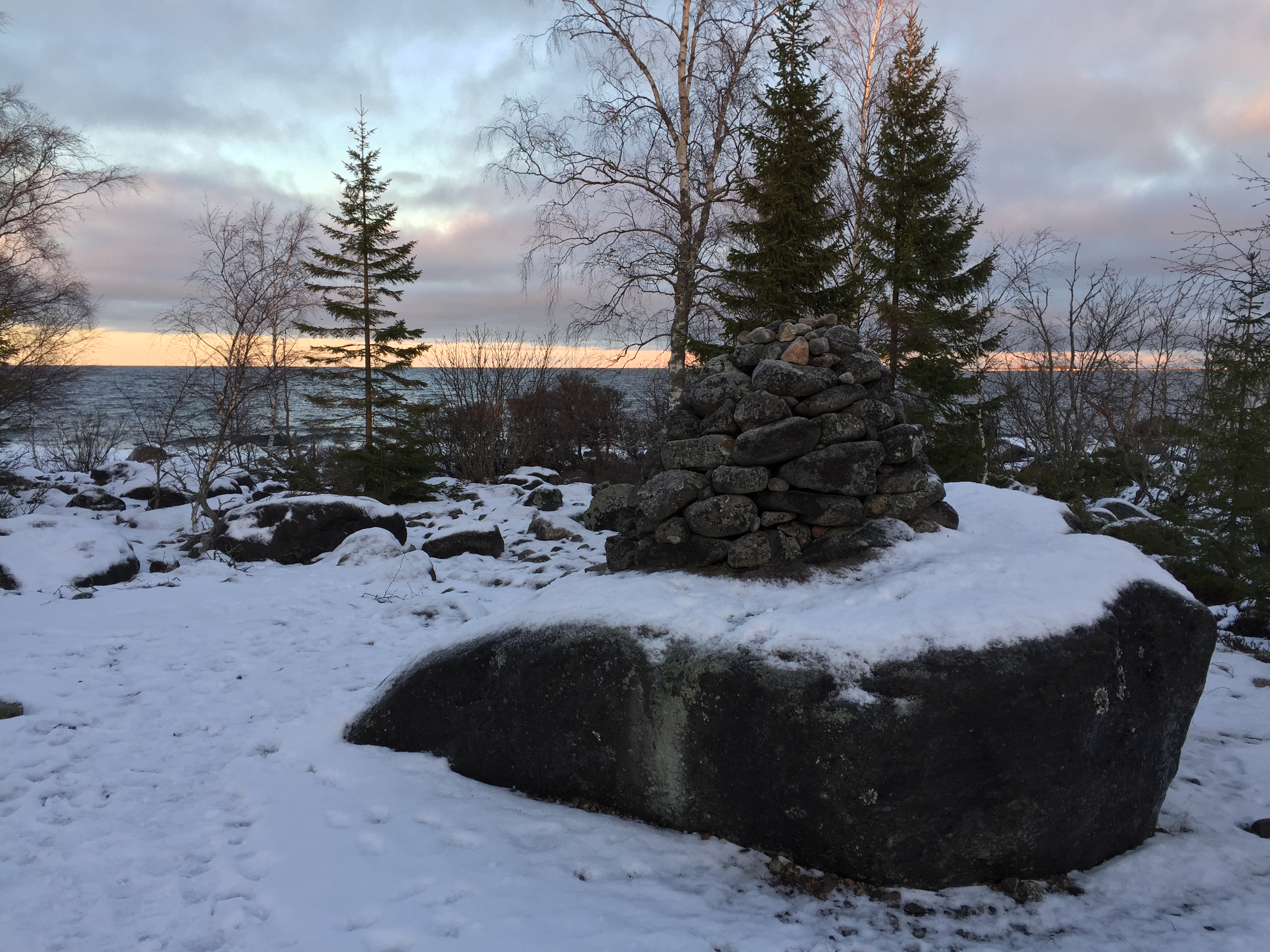
3. A small sight on the trail, a monument to fishermen from Björköby village who never returned from the sea.
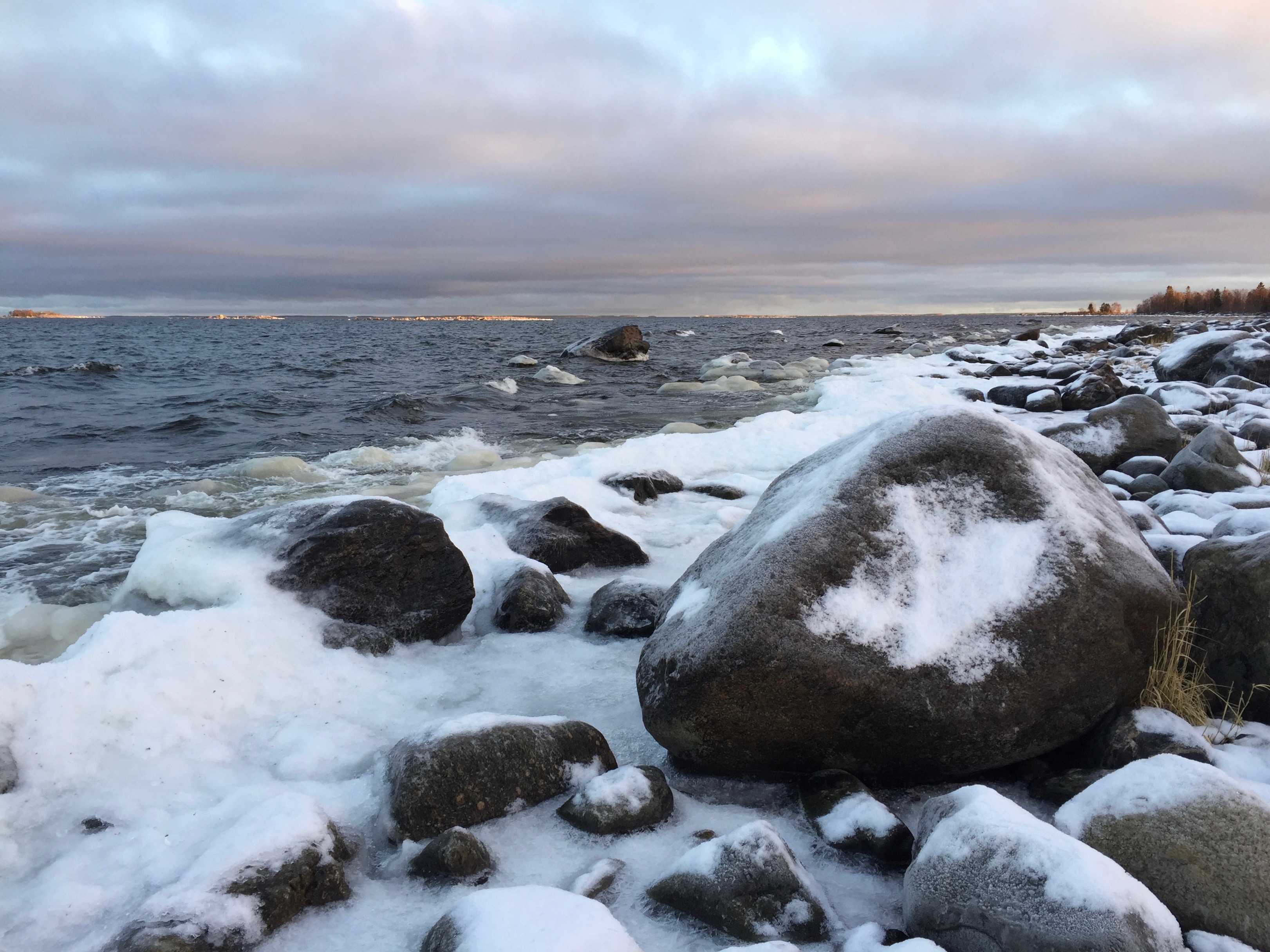
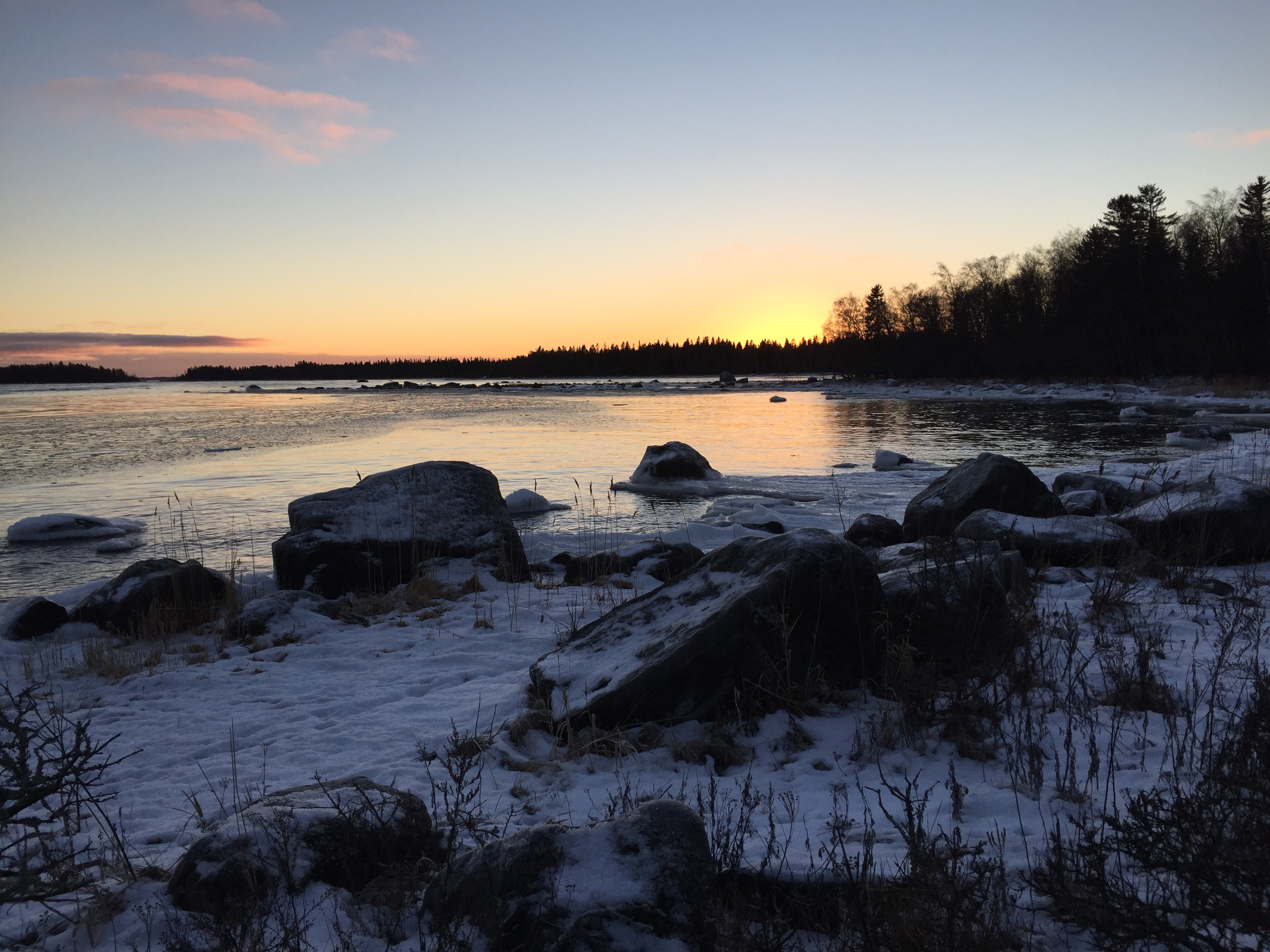
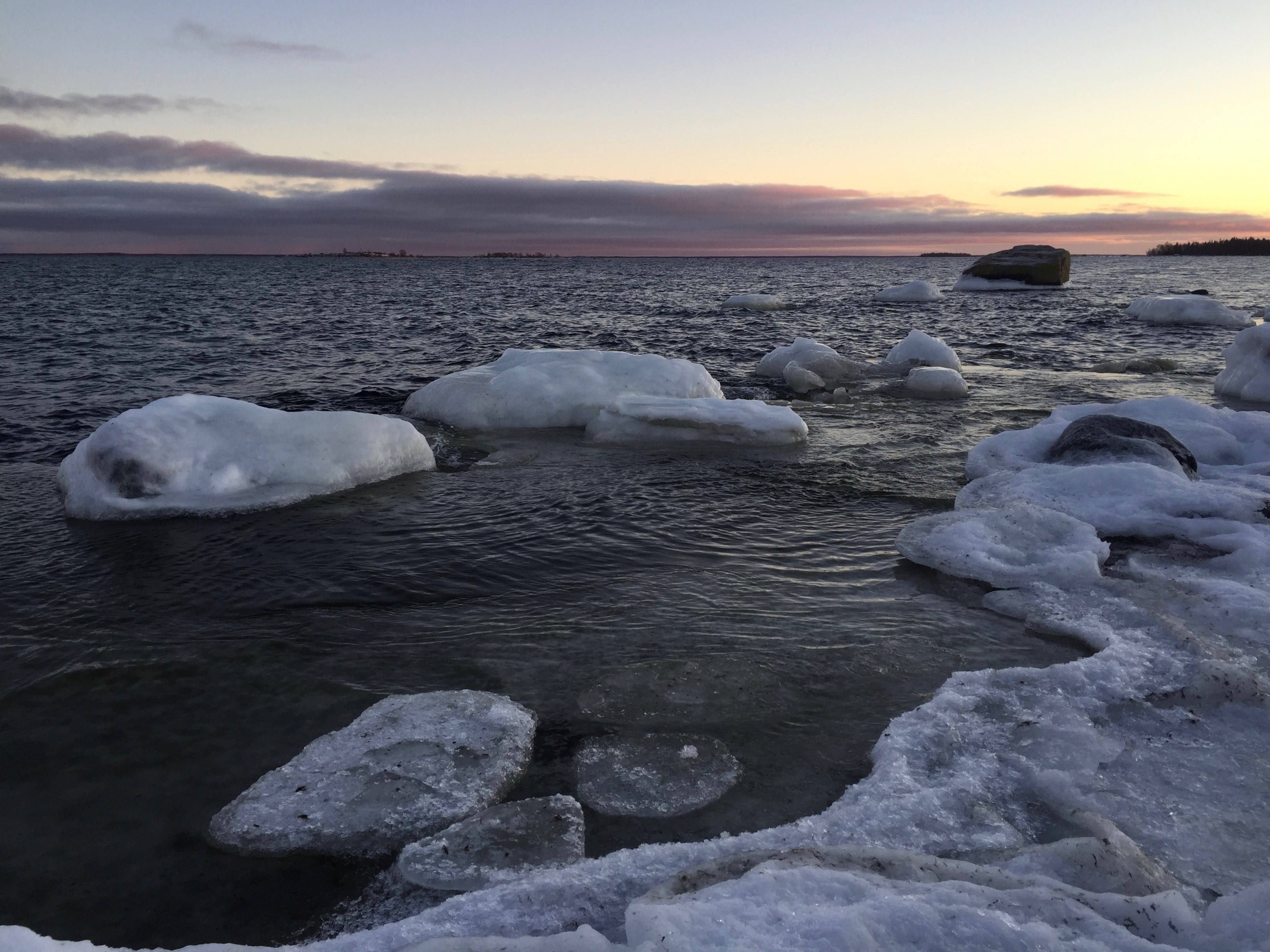
4. And here it is, the actual sea beyond a beach made of huge rocks and a thin ice strip.
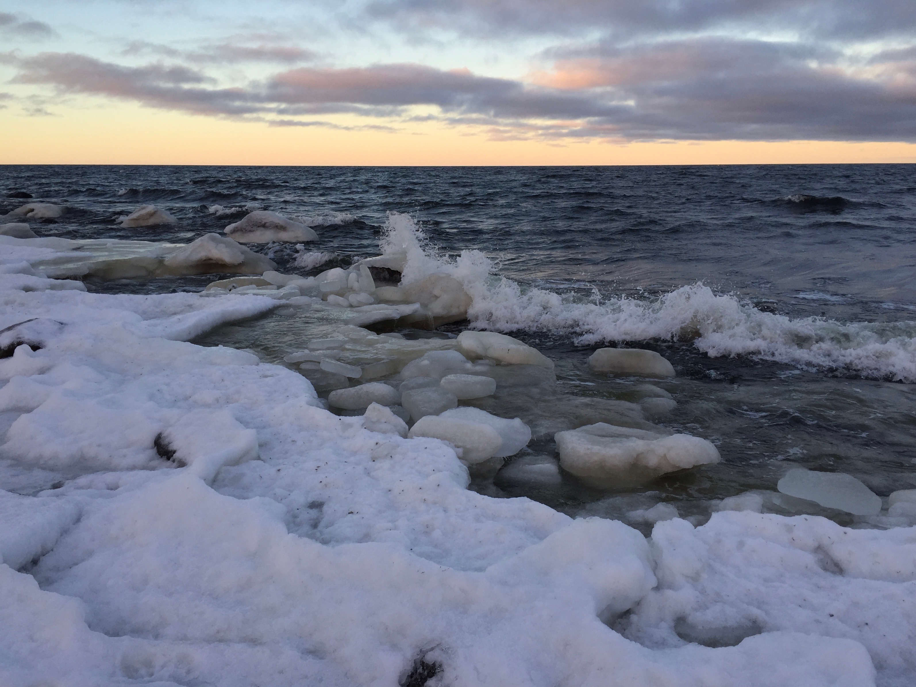
5. It didn't seem like a particularly windy day, but the sea looked a bit rough anyway. This coast faces north, so over there is the rest of Perämeri (the Bay of Bothnia), and then Oulu, Tornio, border bridges over Torne River, Four Winds Road to the north, Lapland fells, reindeers, and wild mountains and icy fjords beyond the Norwegian border.
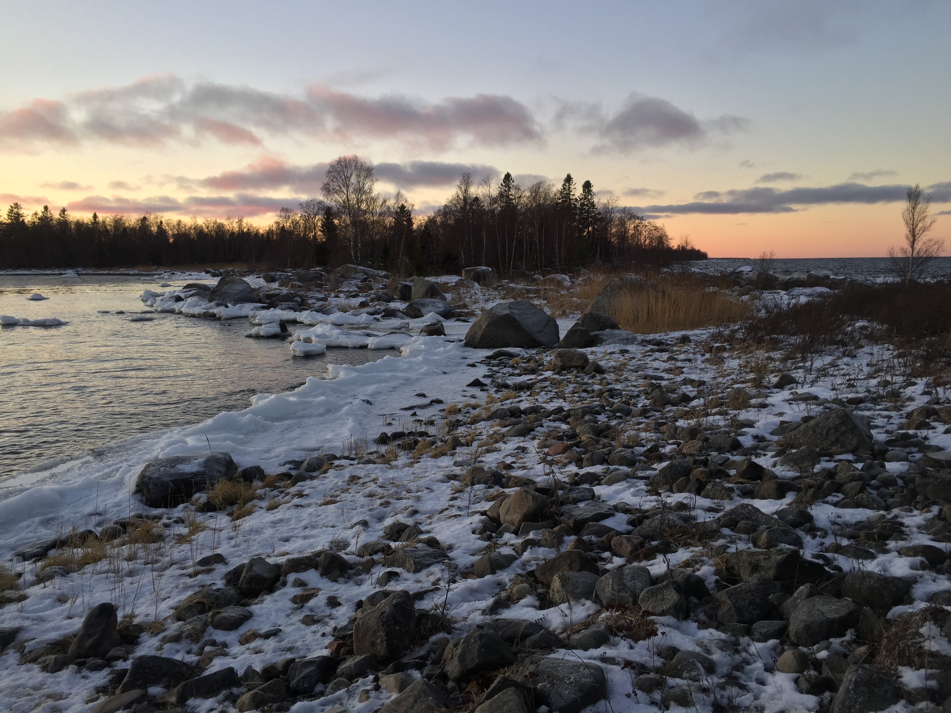
6.
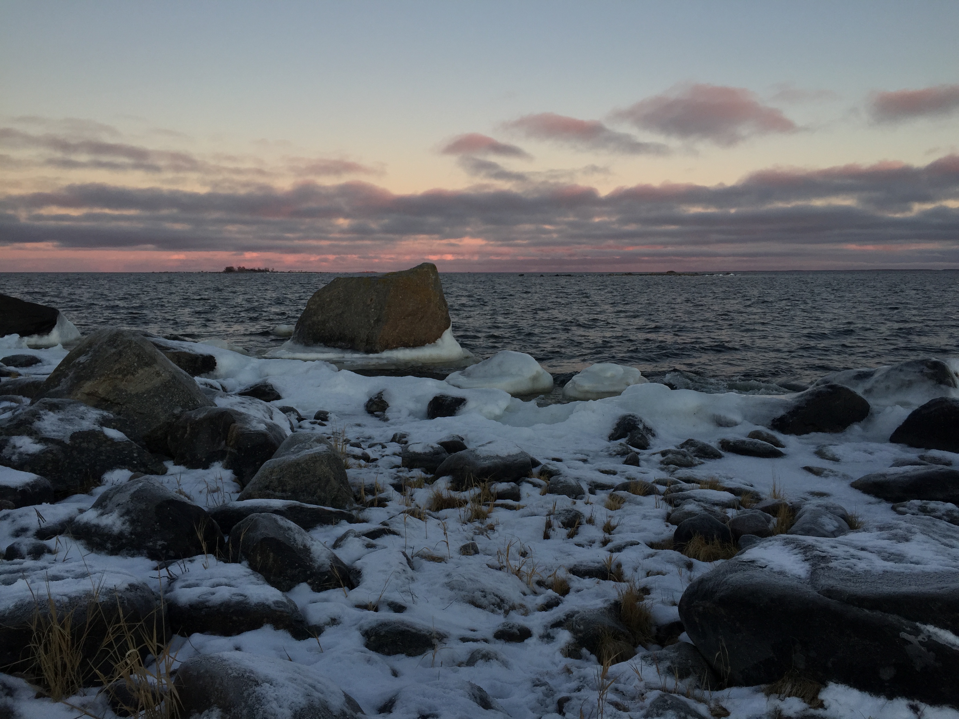
7.

8. Officially the trail ends at a "fisherman sauna" in a place called Finnhamn. "Fisherman sauna" (hamnbastun) in this caseis actually not a sauna at all but just a name for small cottages in Ostrobothnian archipelagoes originally meant as places for short overnight stays for fishermen. (It is not uncommon for such small basic cottages to be referred to as saunas even in cases when you could not actually bathe there; similarly there were "forest saunas" in Finnish wilderness.) This fisherman sauna was built in the late 19th century.
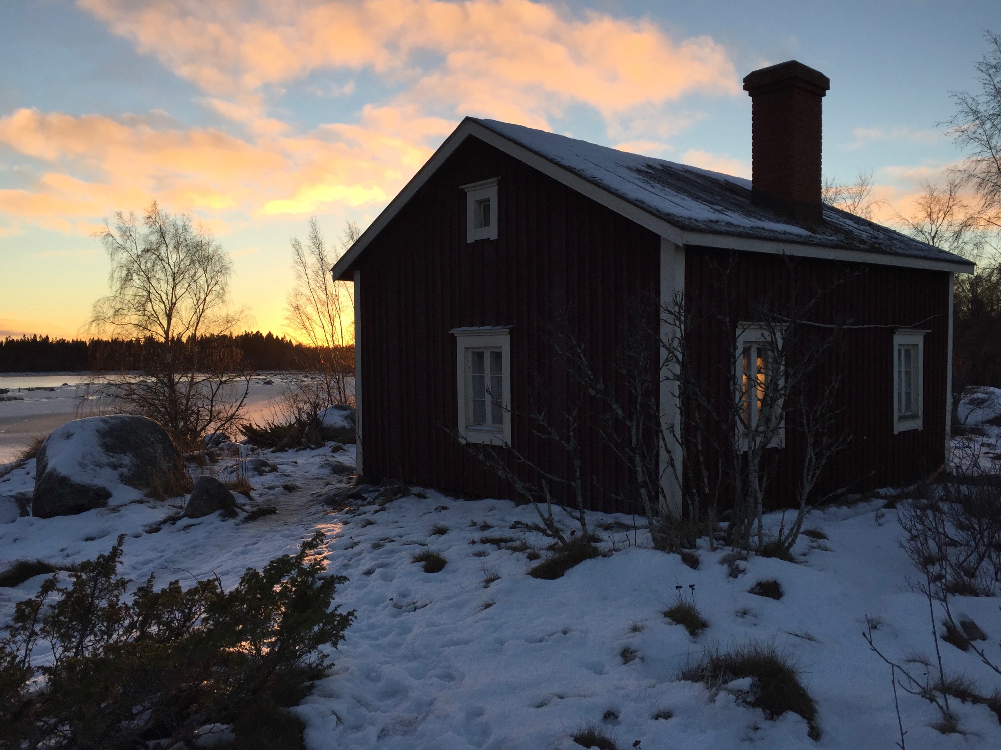
9. The fisherman sauna now serves as an open wilderness hut (autiotupa), that is, it is open for everyone to stay, cook and sleep there (using your own sleeping gear of course) for free. This particular trail seems quite popular with the locals and it would probably be pretty difficult to find this hut unoccupied. You're supposed to share it with other people as much as possible, and if there's not enough place someone (normally the one who came first) has to sleep outside. I don't know if they actually do it in this hut, though. Open wilderness huts are much more common in, well, wilderness of Lapland and East Finland, and seem to be a rare oddity in the denser populated parts of the country. Archipelago fisherman saunas form a rare exception.
10.
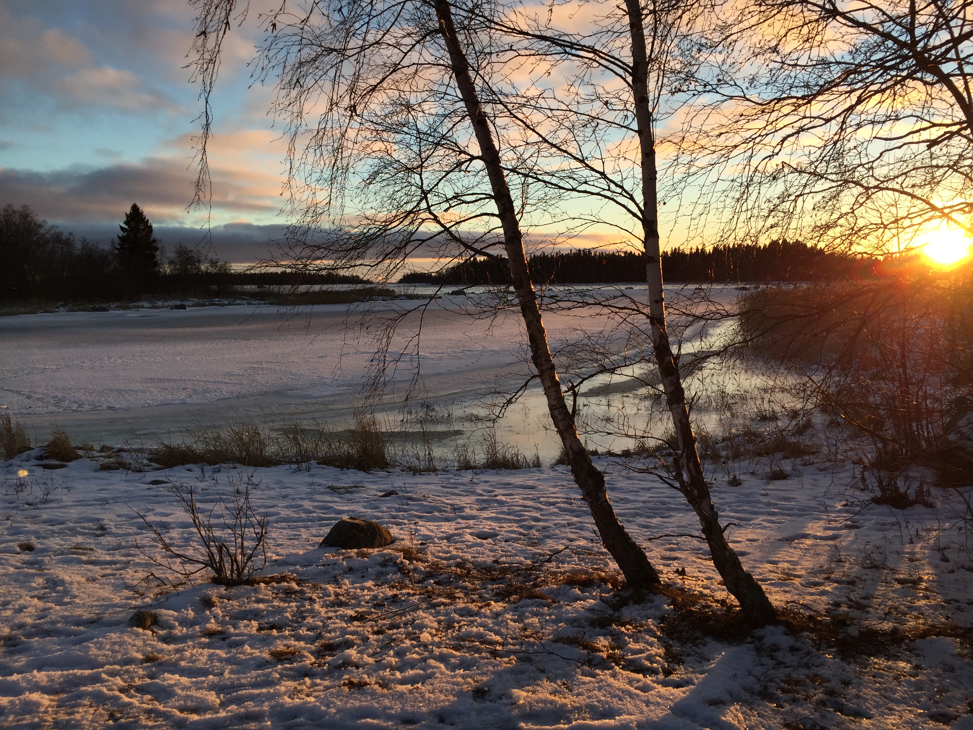
11. You can walk past the cottage to the end of the island, which ends in a longish promontory. There is a small sandy beach here, although you can't see that in December.
12. At the very end of the island is a location named Träkarlen, a tiny island that's partially connected to the bigger land. I couldn't walk there in October as a small isthmus leading there was flooded, but now in December it seemed perfectly fine and I didn't even seem to be walking on ice.
13. And this really is the end. I'm curious about whether you could walk from here to the island of Ritgrund when the see completely freezes over. There's a lighthouse at Ritgrund and it would be pretty difficult to reach in any other way. It should not be an impossible walk (15 km in one direction maybe?) if the sea is indeed completely frozen over and safe to walk on, but I have no idea if it is. In any case this is probably something that would be very unwise to try alone.
14.
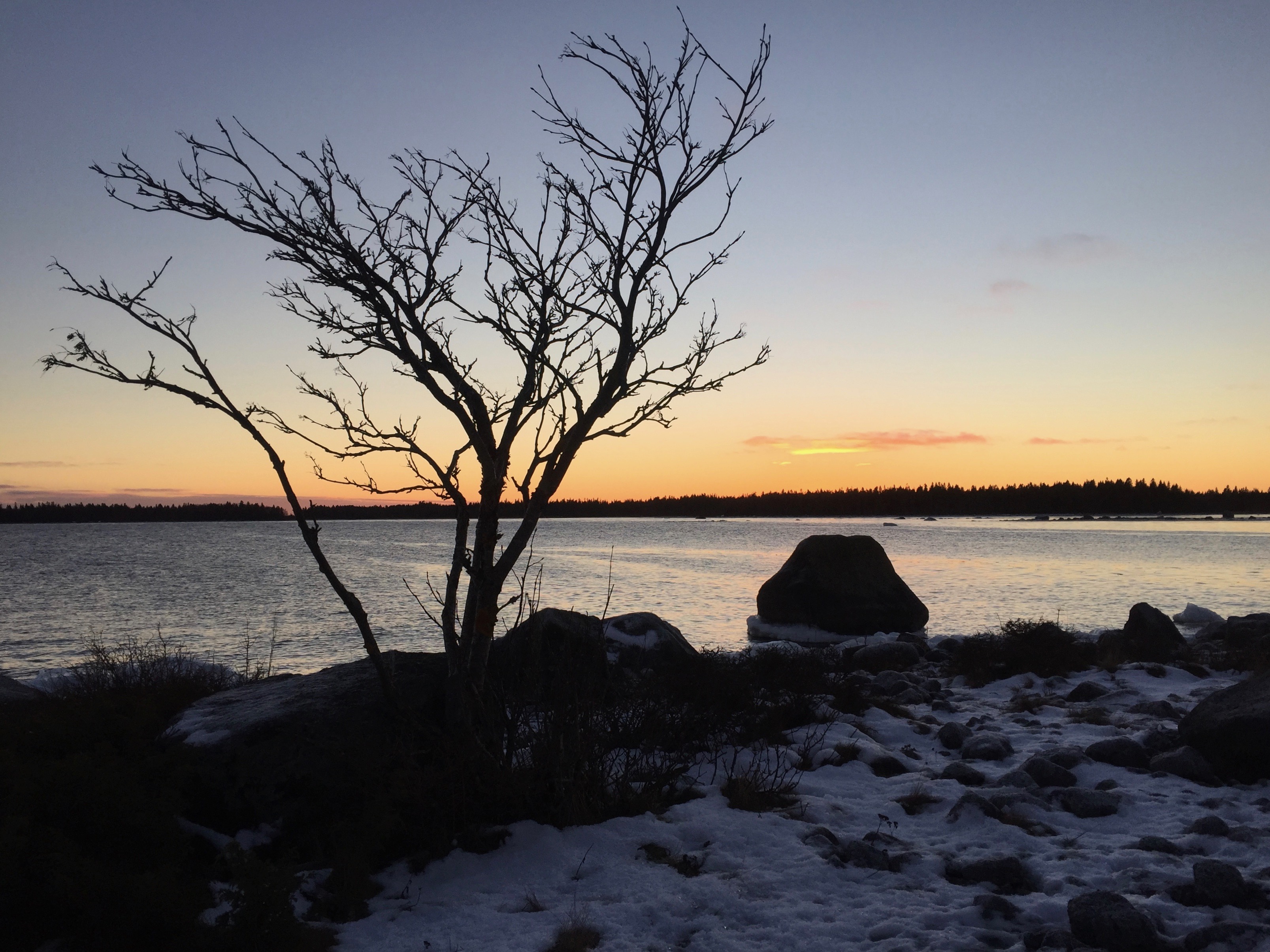
15. Going back after sunset. Happy New Year!