It feels cool to stand at the edge of the world. Only there's no edge here as such and the world still continues on, but you get the idea. But anyway the 70th parallel North sounds like a suitably impressive achievement. And now I guess it's time to turn around.
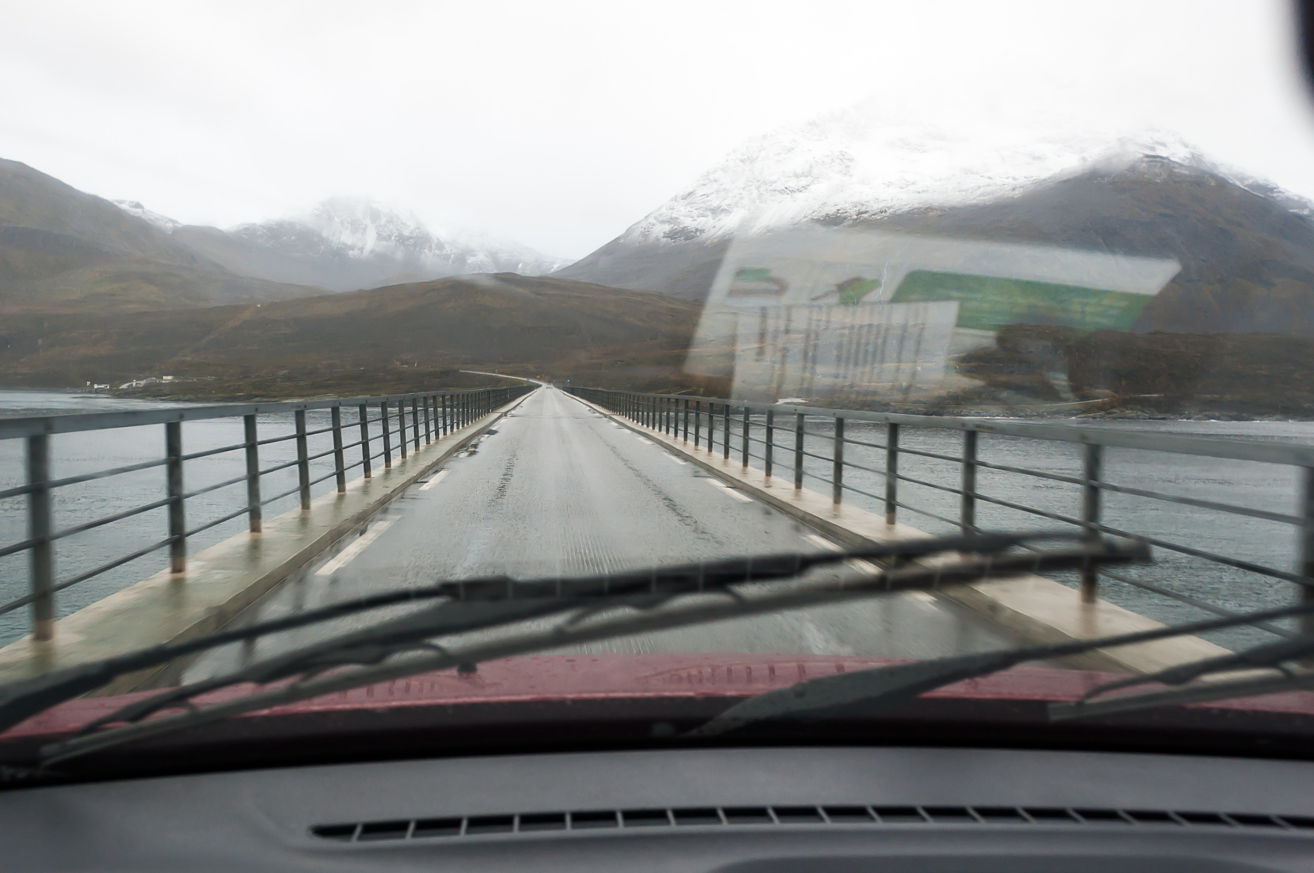
1. Leaving Skjervøya island again, on the same one-lane bridge.
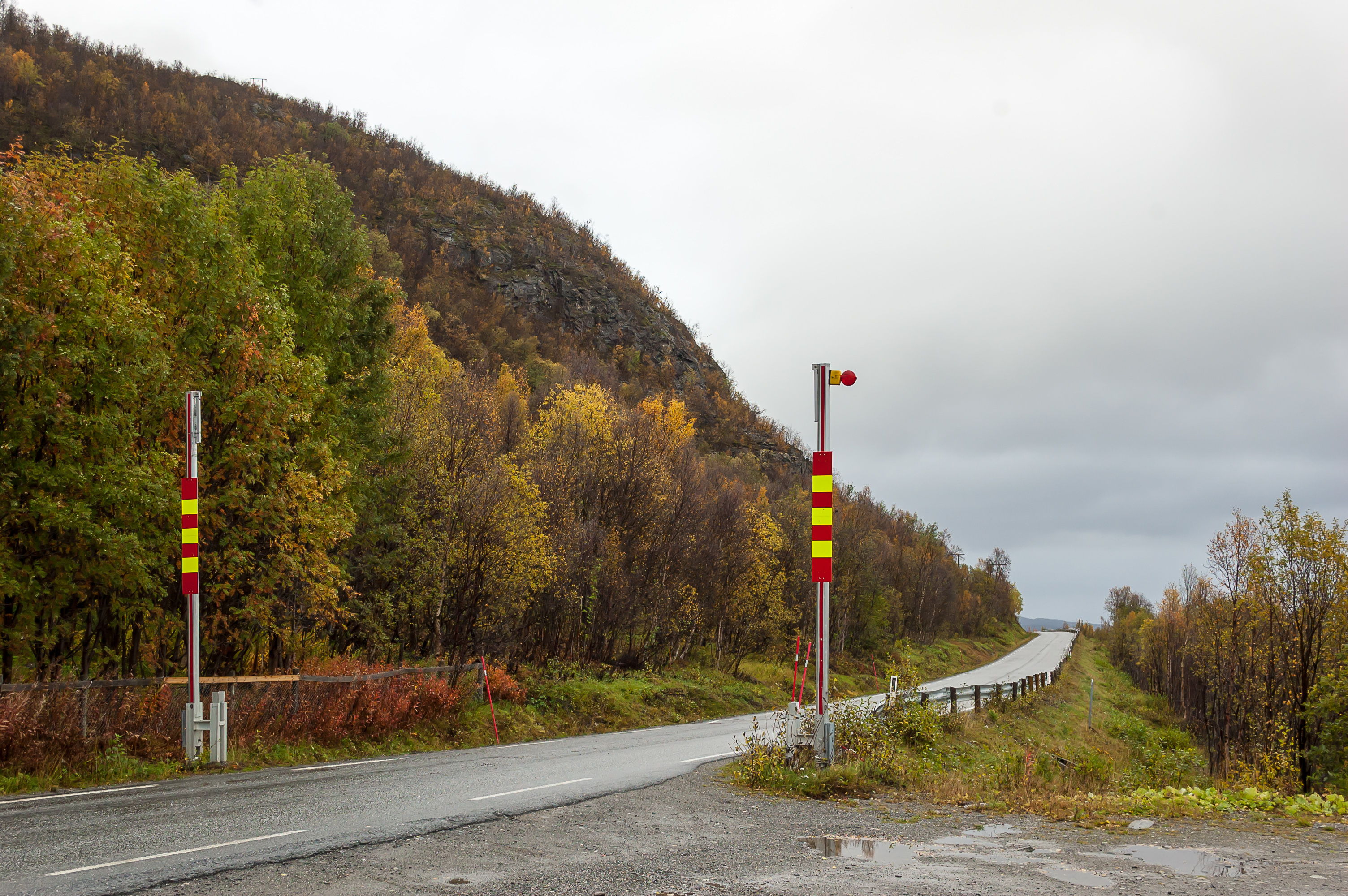
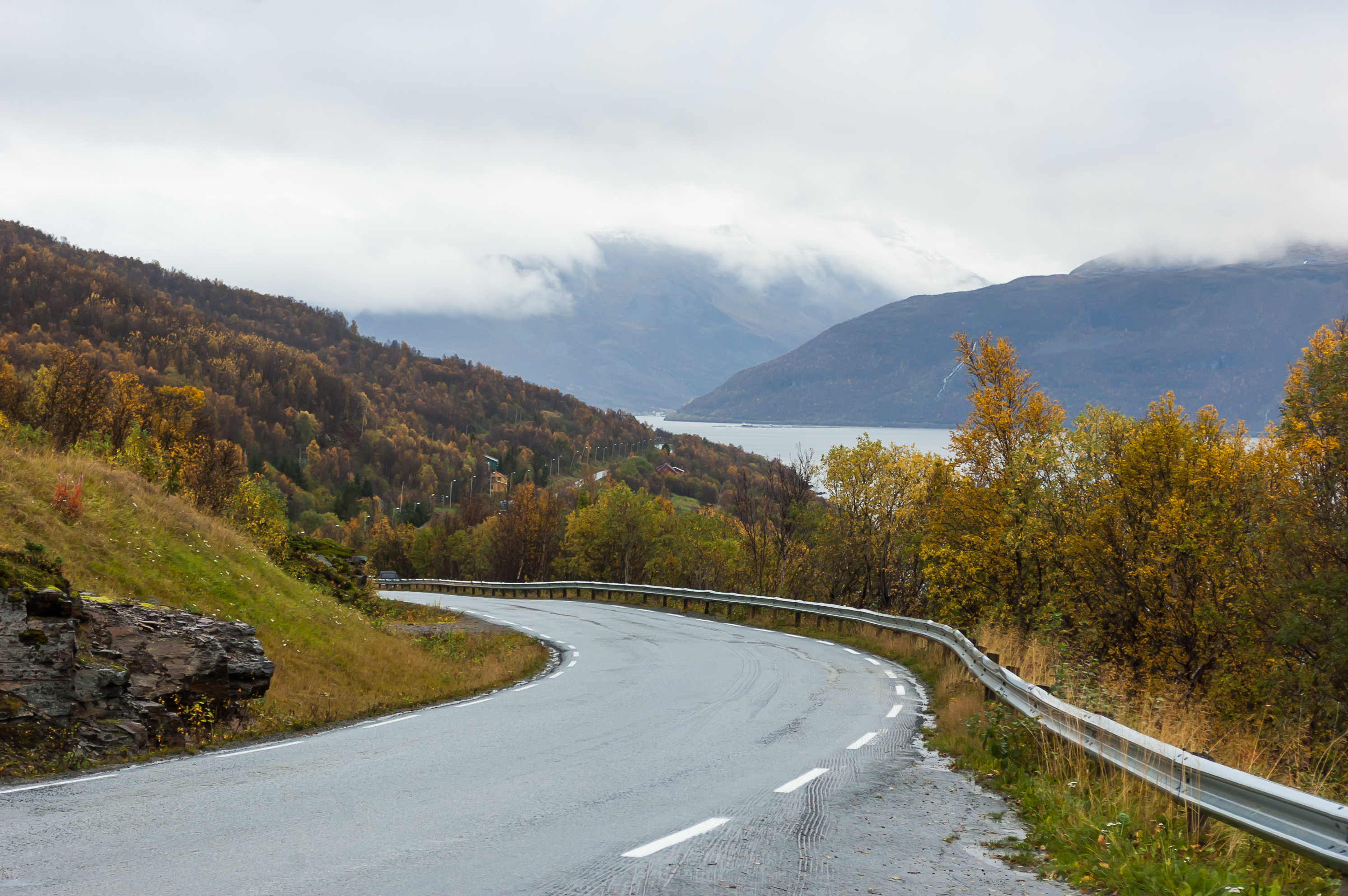
2. Mainland part of Road 866. I guess these barriers close in case of avalanche.
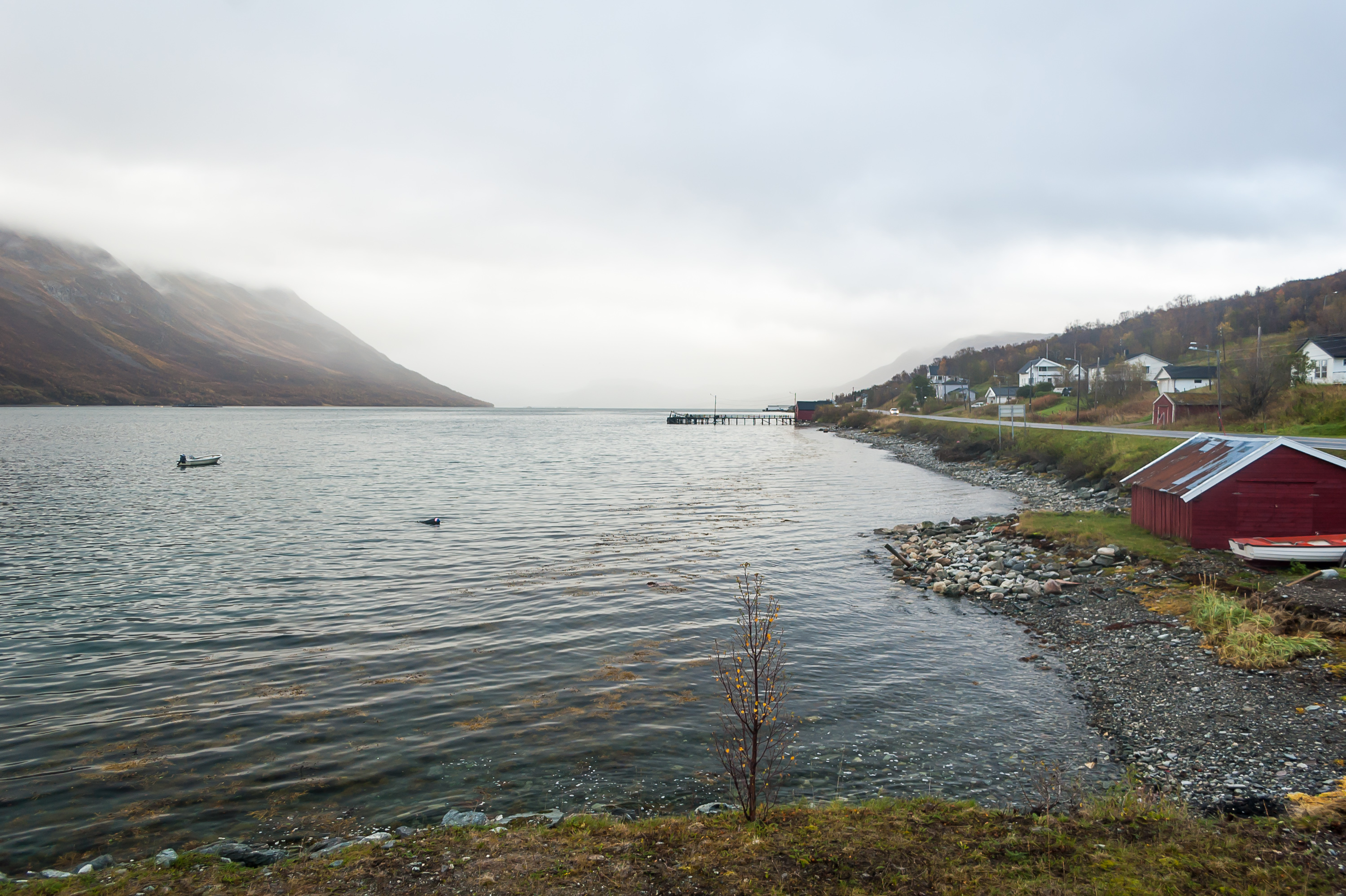
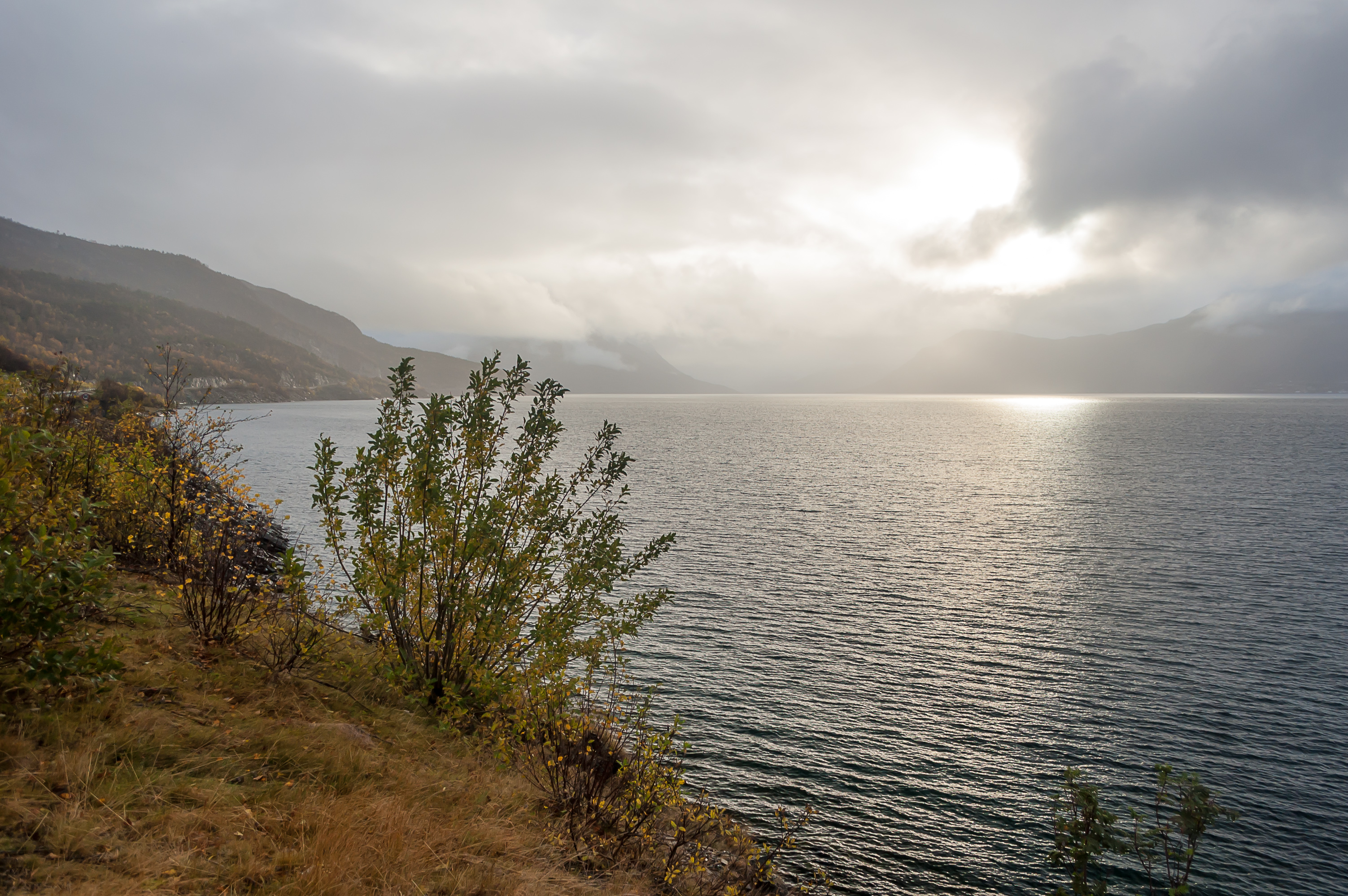
3. Lyngenfjord near Olderdalen town. The sky got a tiny bit brighter.

4. A ferry shortcut can take you here from Olderdalen to Lyngseidet on the other side of the fjord, at the foot of the Lyngen Alps, and another ferry (Svensby-Breivikeidet) will get you fairly close to Tromsø. Driving distance from Olderdalen to Tromsø with these ferries is 90 km, and the regular route around fjords is 180 km. For me, taking this ferry didn't make much sense, and besides, unlike Finland and Sweden, Norwegian road ferries are not free. This one costs 150 krones (~€15) per regular-sized car with driver, with additional 50 krones per passenger.
5.
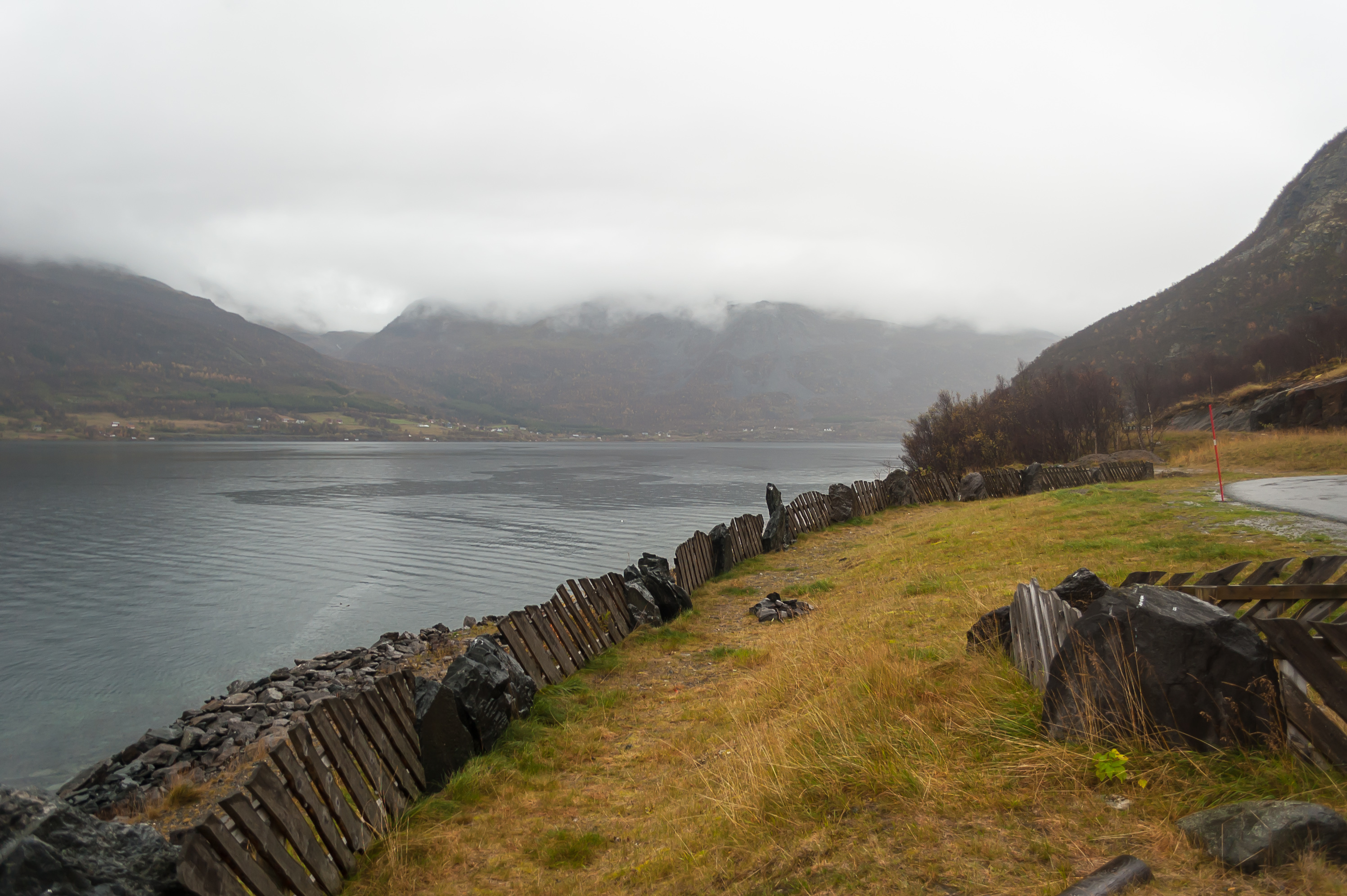
6. Tracing the Kåfjord again. This is one of the places where even the E6 road gets fairly narrow.
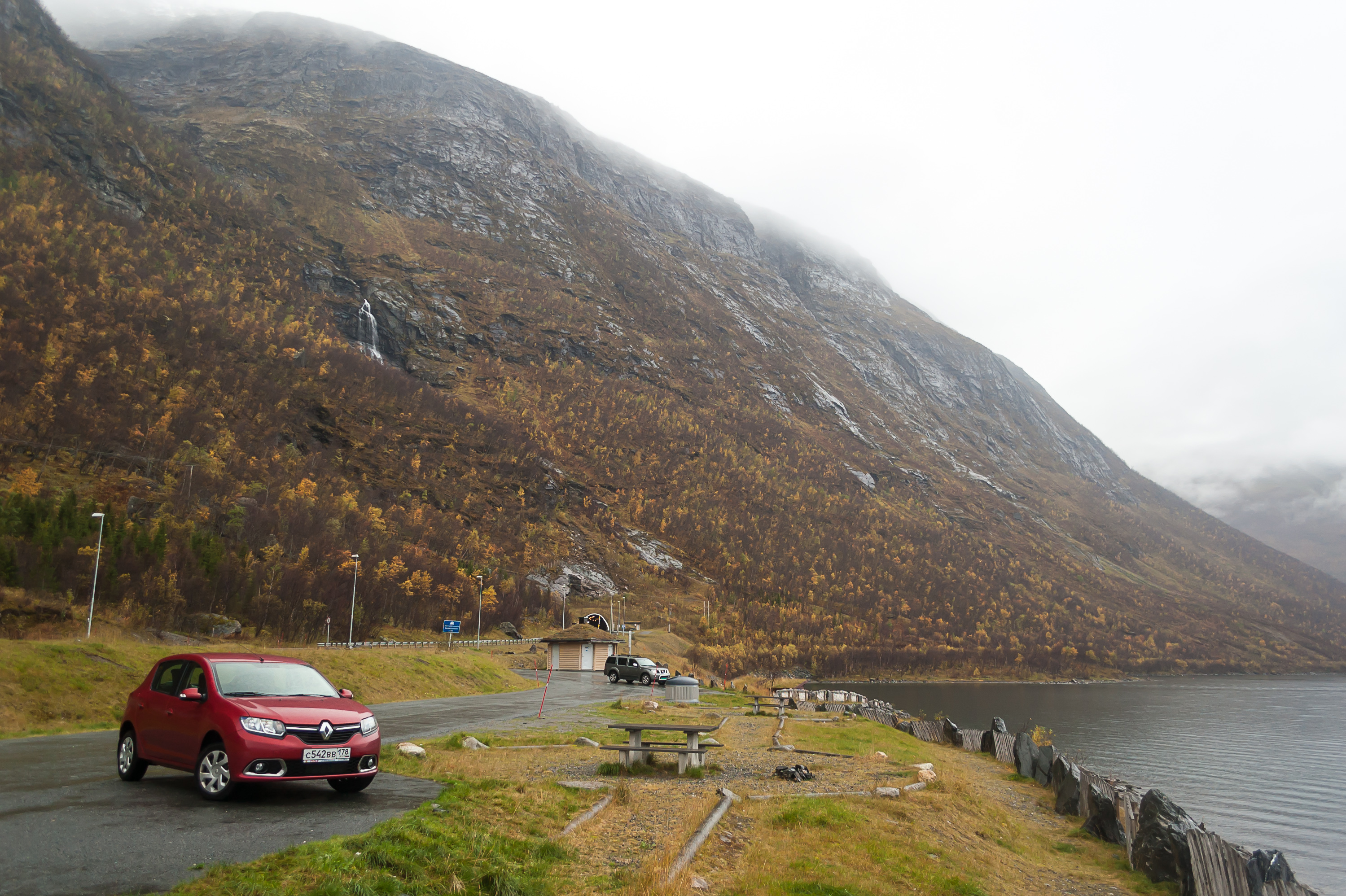
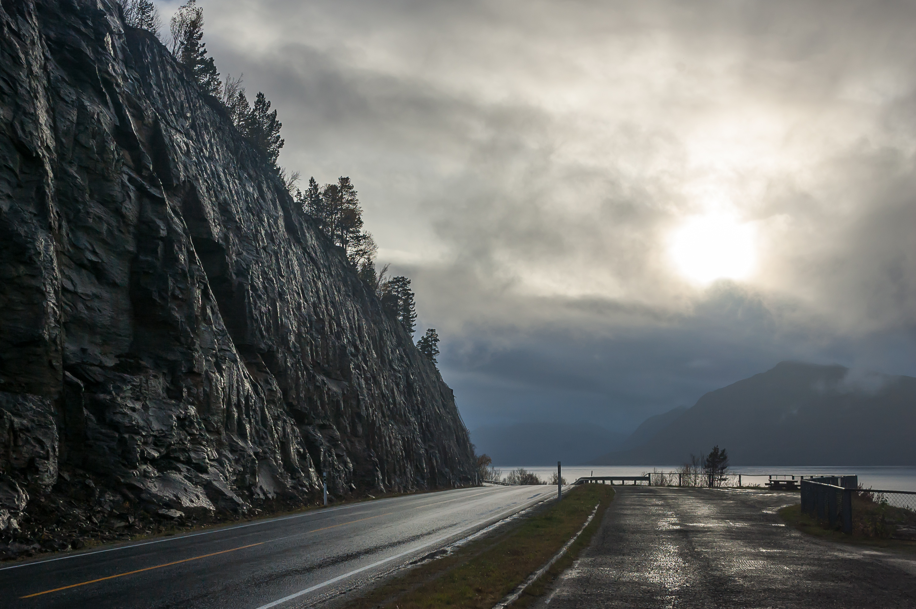
7. A large full-fledged roadside rest area between Isfjell and Skardalen tunnels, at the foot of Isfjell mountain.
8. Isfjell and the Sandero.
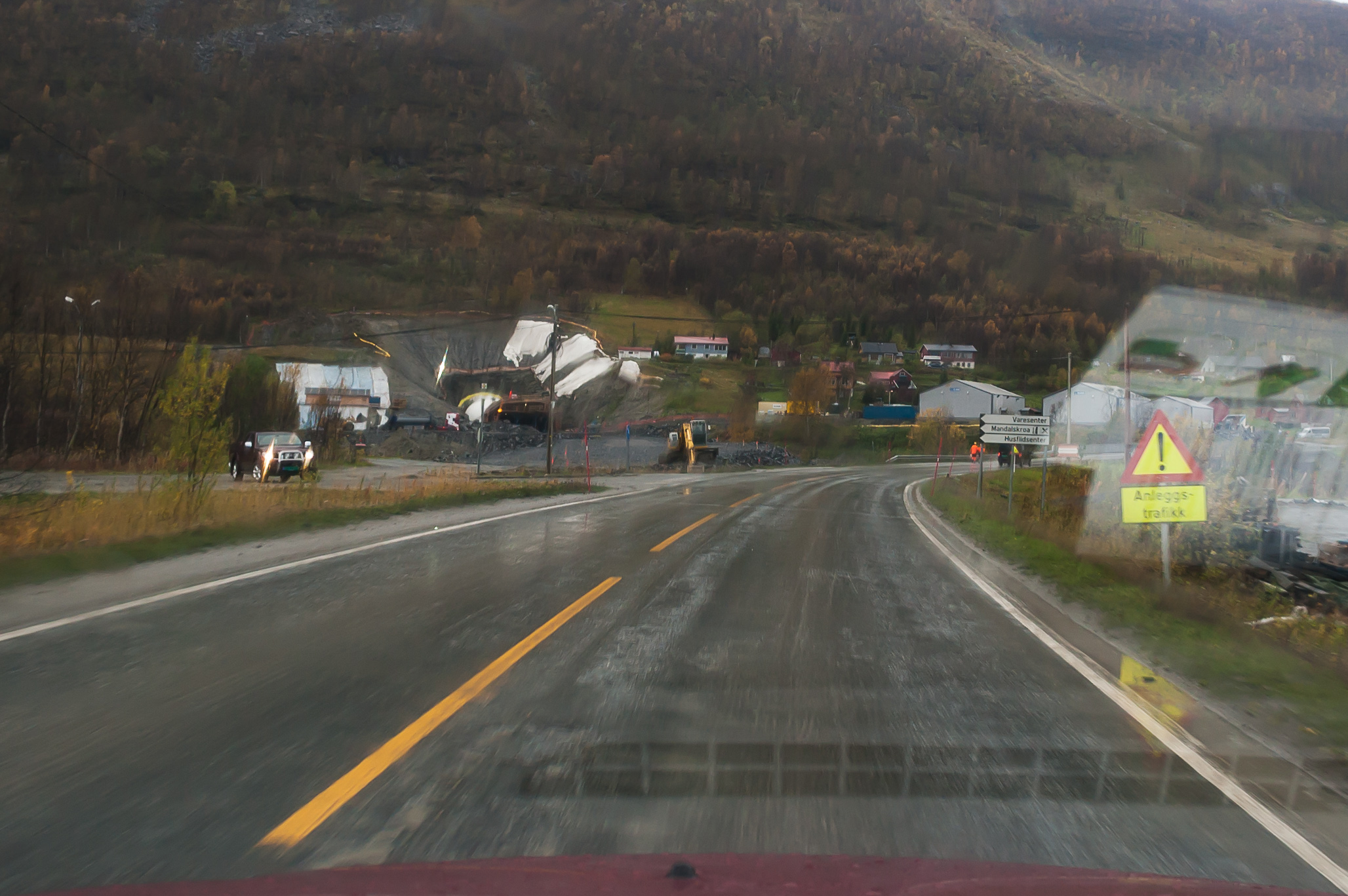
9. One more tunnel is just being built, at Manndalen village. This one I believe would significantly cut travel time, going under Nordnesfjell mountain instead of around it.
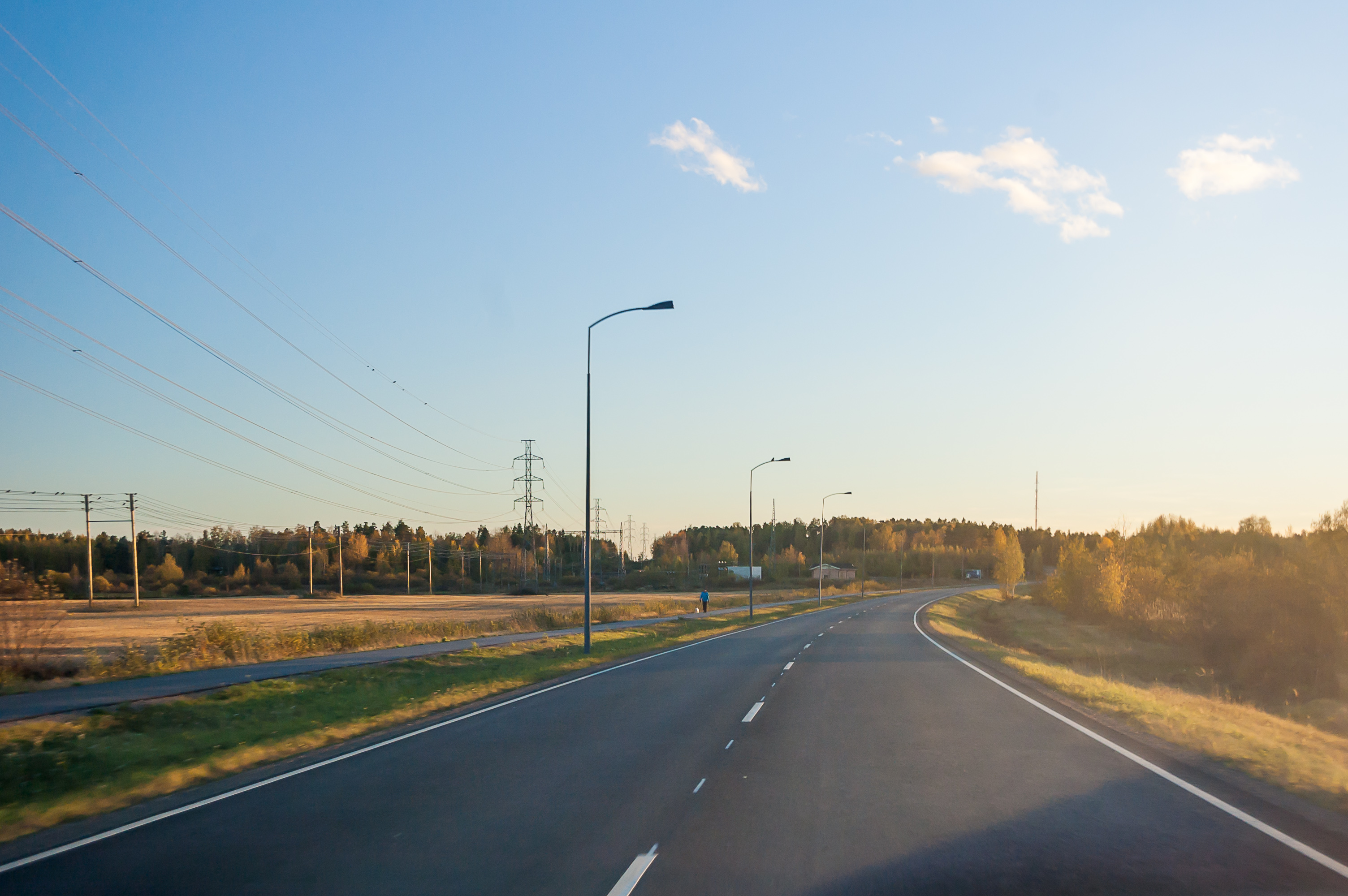
10. Kåfjord left behind, driving near Lyngenfjord again.
11. A smaller rest area.

12. The weather almost got nearly okay! Too bad I'm leaving already. Do you know it's sometimes possible to spot actual whales in this fjord? Humpback whales and orcas, I believe. Now I want to go back and try to spot at least one.
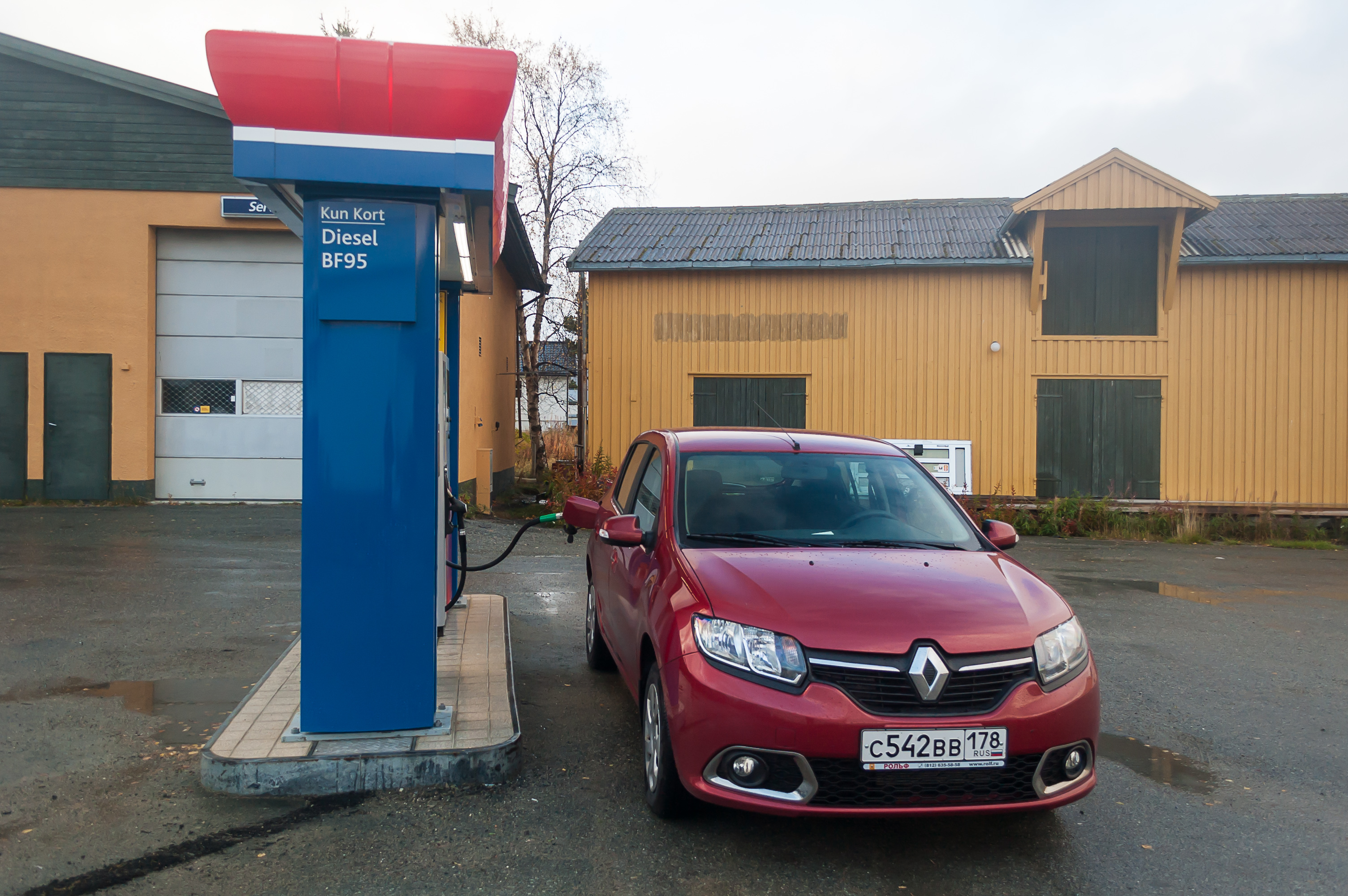
13. Refuelling at Skibotn. As you know Norway is a ridiculously expensive country. Probably due to the fact they have their own oil, Norwegian gas is not "ridiculously expensive" but merely "very expensive". I had enough gas remaining to last until Finland in theory, but what if the gas station at Kilpisjärvi will be closed for some reason? Even though these are not really wild lands, the distance between gas stations is considerable.
The gas station is automatic, as are most Nordic gas stations (and as a mildly sociophobic person I'm glad for that). It however refused to accept one of my cards — good thing I had another. It turned out that bank (Locko Bank, a relatively minor Russian bank where I happen to have a car loan and a credit card with a small limit) locked the card due to transactions at "suspicious locations", without even warning me. The funny thing is that Finland and Sweden apparently were perfectly fine with that bank.
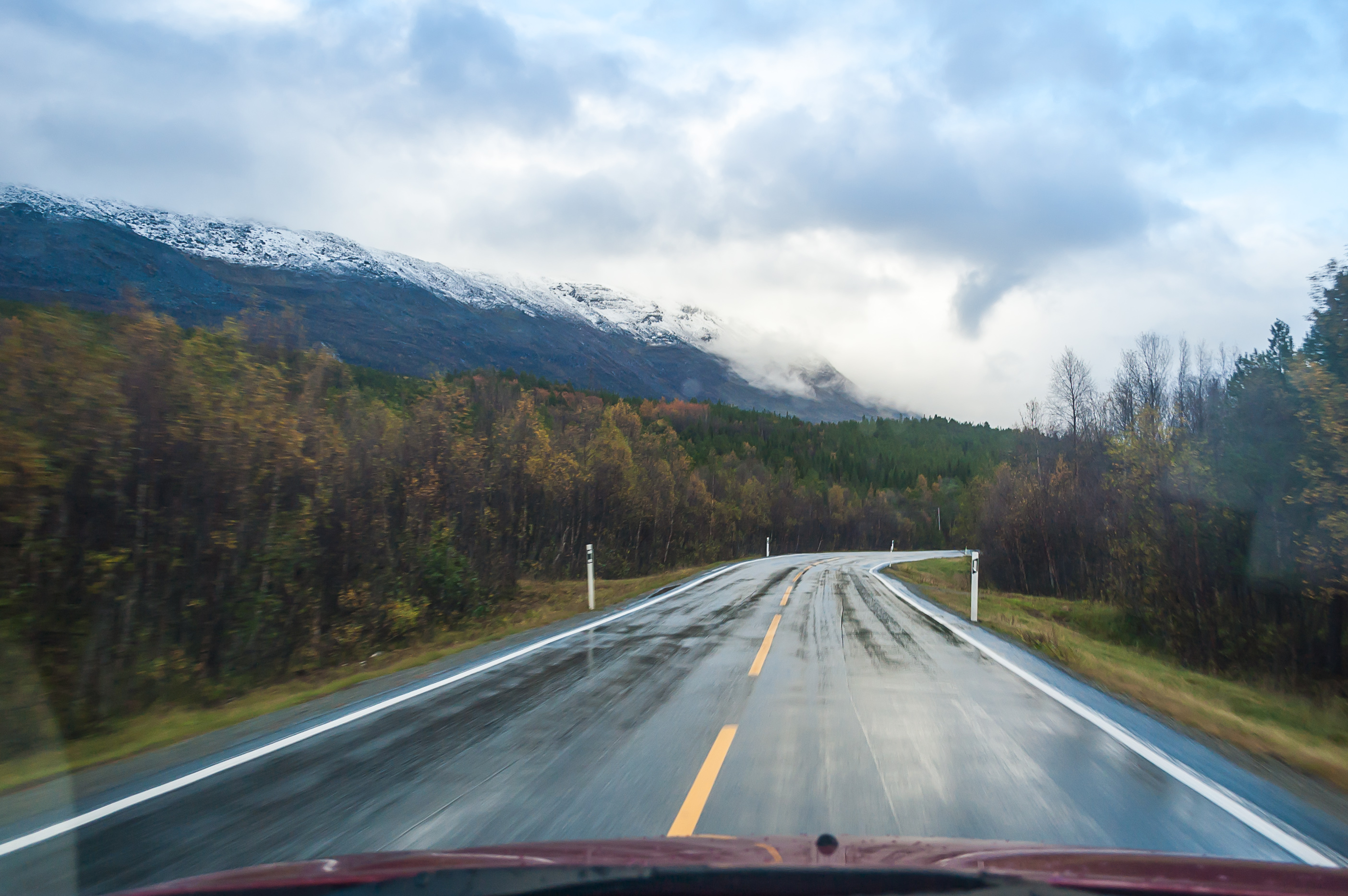
14. Goodbye fjords! Back onto the Northern Lights Road (E8 route), southbound into the mountains.
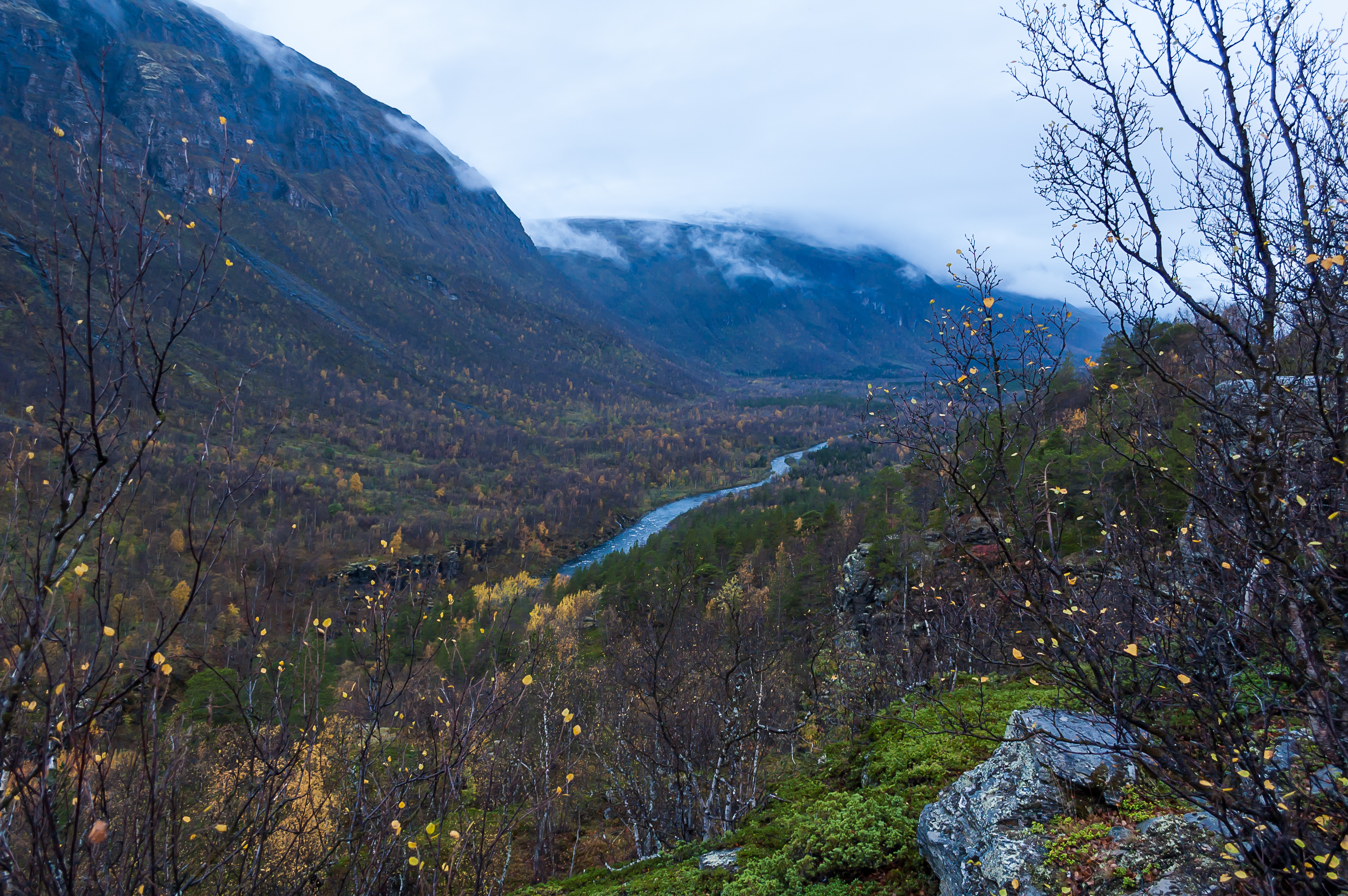
15. This time I could make a few stops along the way, and enjoy some views of the deep Skibotnelva river valley (Skibotndalen). The mountainous river, known as Ivgojohka in the Sami language, has a hydroelectric dam somewhere closer to its mouth.
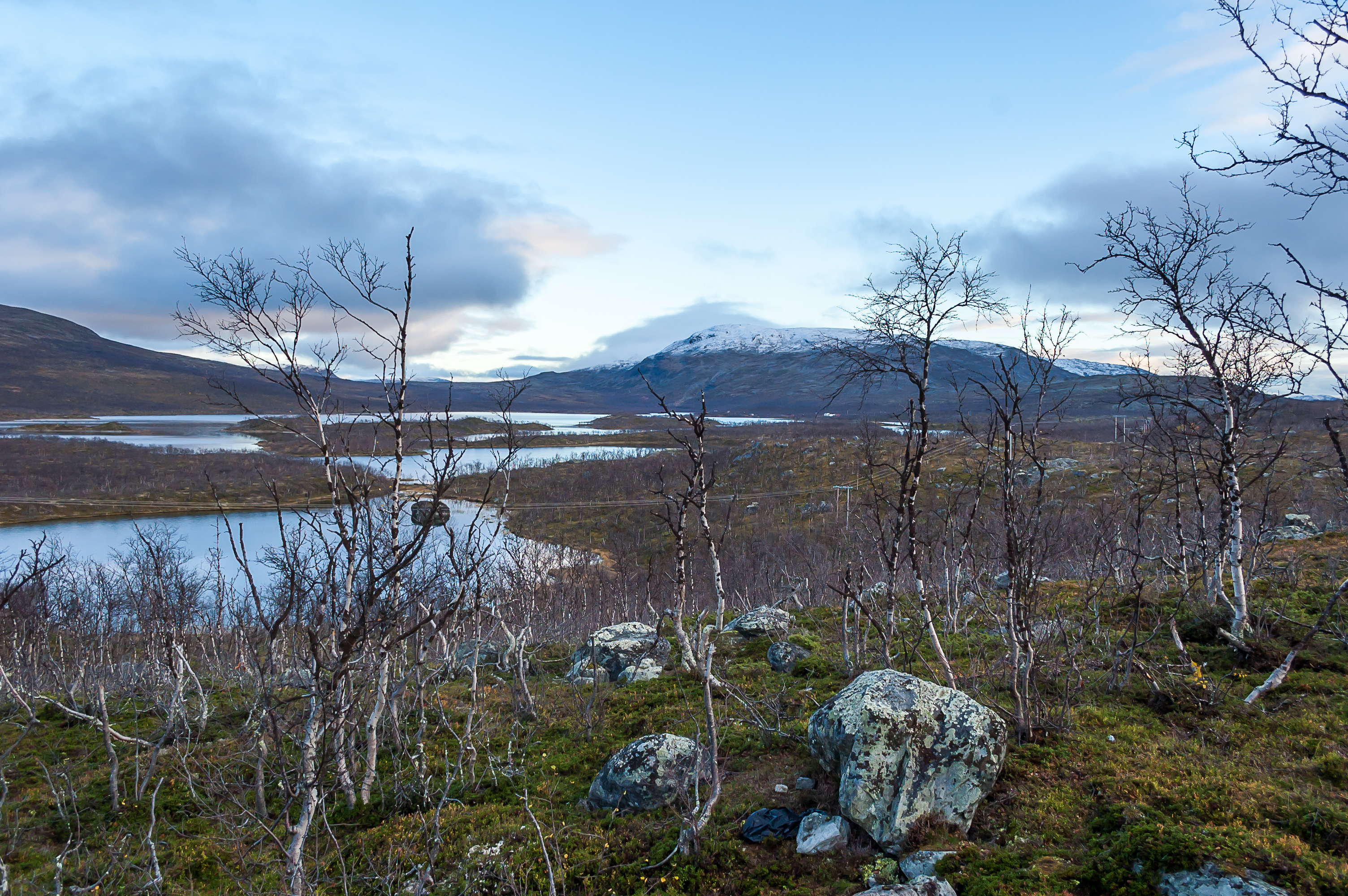
16. At the rest area right before the Finnish-Norwegian border you can enjoy views of Gálggojávri lake (no non-Sami name exists), the source of Skibotnelva. The elevation is about 500 m above sea level. We're back in tundra-like areas typical for Käsivarsi region.

17. An actual reindeer skull! Just lying around in the tundra near the rest area! I must admit I was really tempted to bring this thing back with me. It appeared however that some small bits of meat still remained on it, and I was not particularly eager to learn some practical bone maceration. And I'm pretty sure the customs would not allow it in any case. Still that was a goddamn beautiful skull.
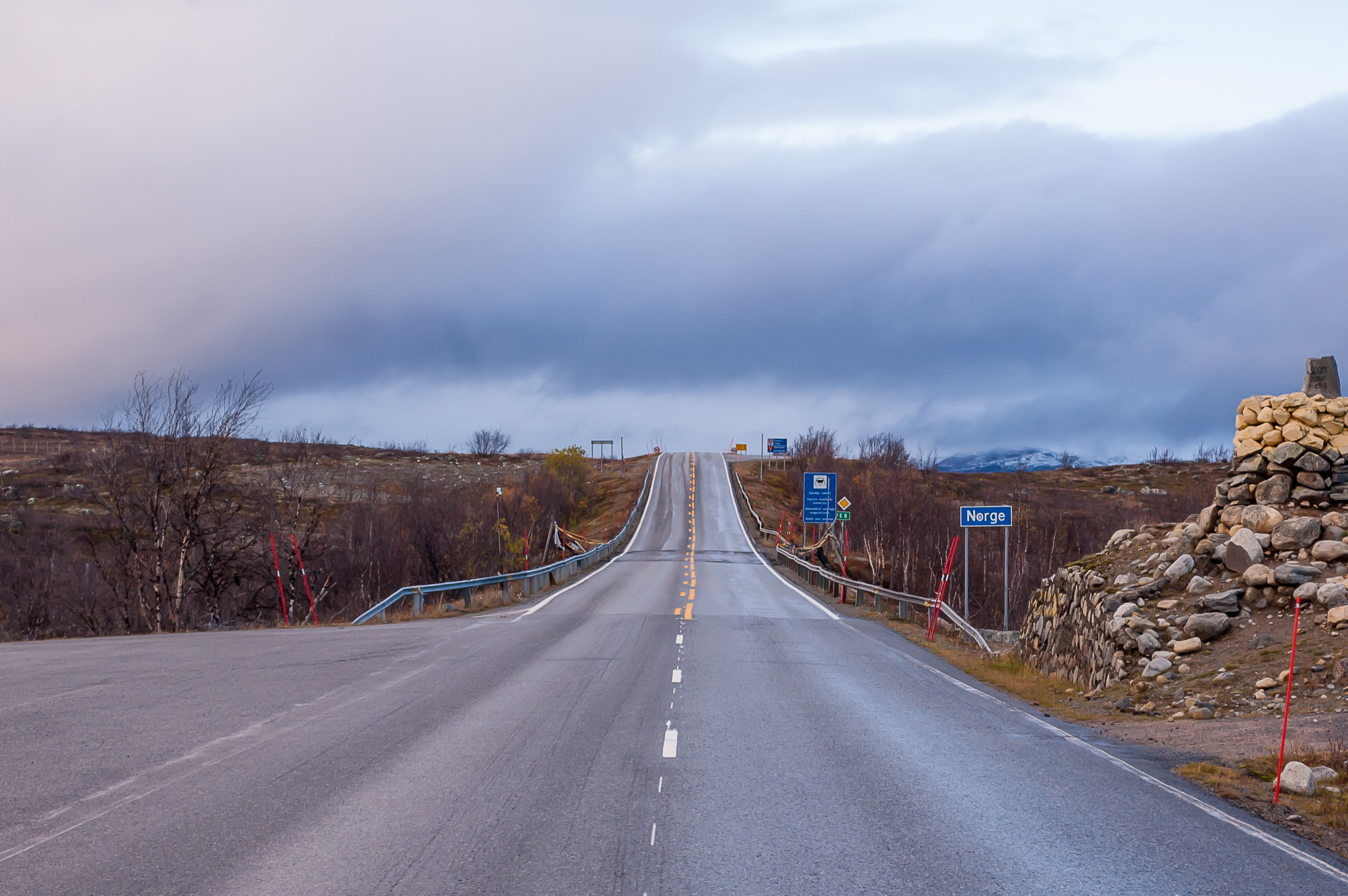
18. And this is the actual border, the Norwegian side...
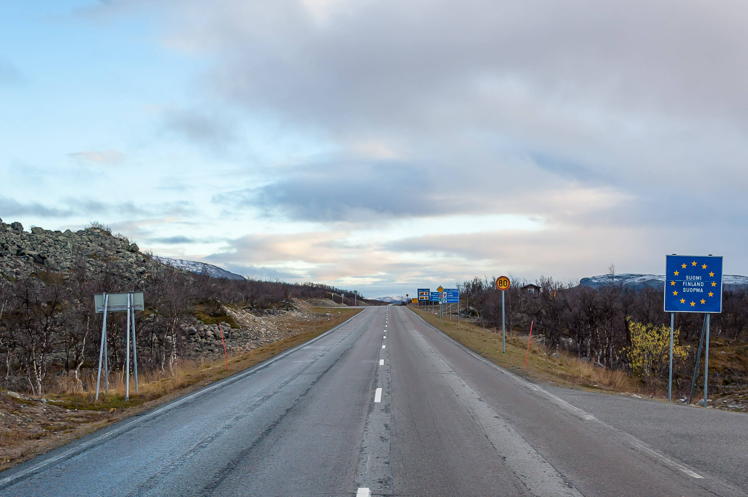
19. ...and the Finnish side. Reindeer, likely the same herd as the day before, were blocking the road before the customs building, but a semi truck driving before me made them go away.
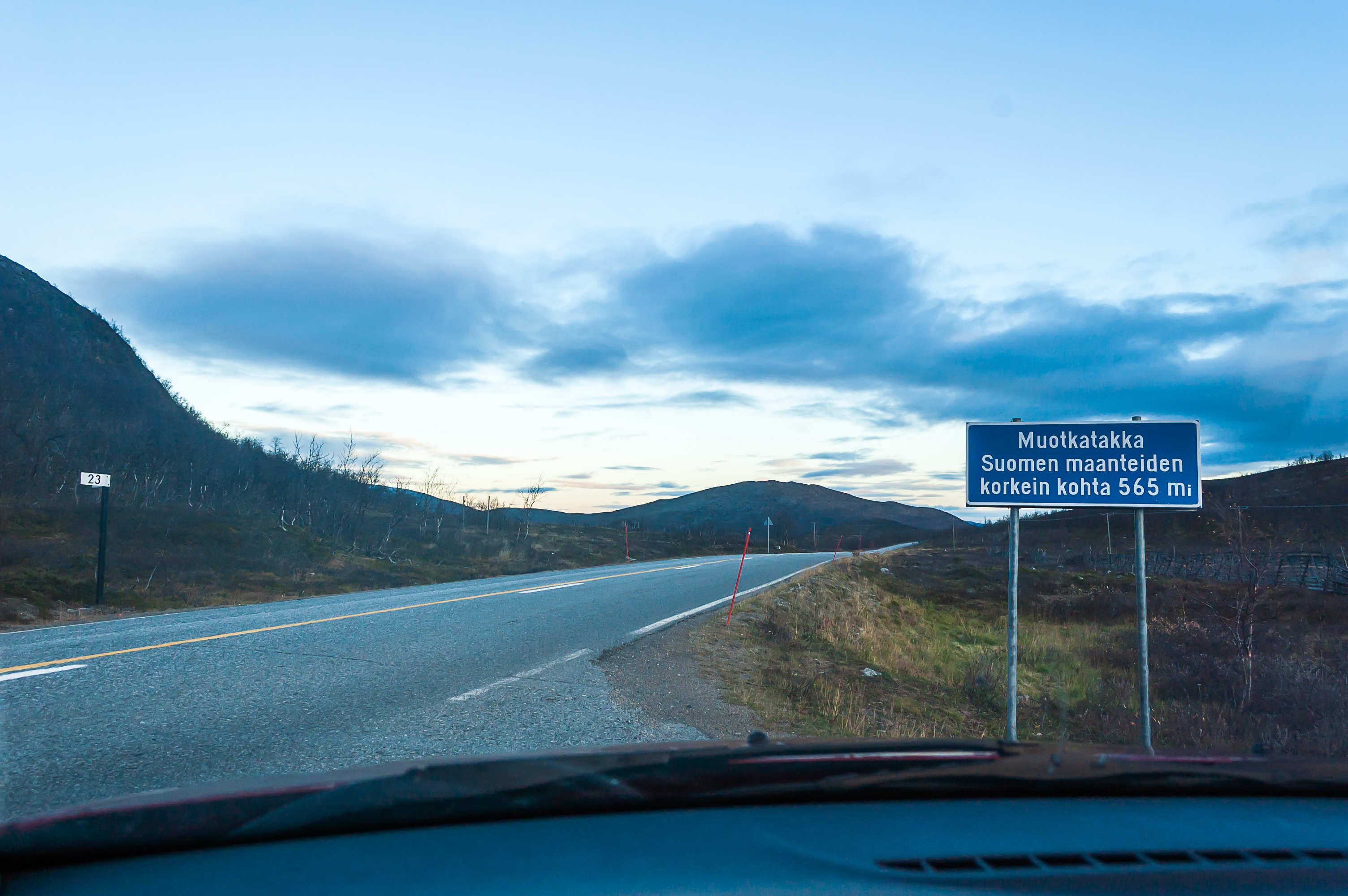
20. Muotkatakka pass near Kilpisjärvi village is the highest point of the public Finnish road network, at 565 m high.
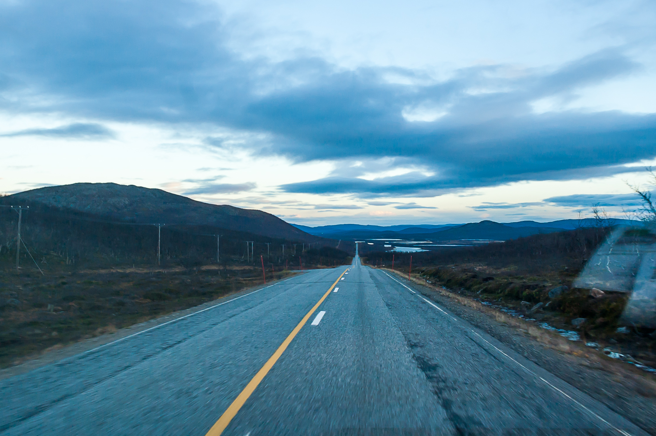
21. I still had a lot of driving to do to get back to Äkäslompolo. I still didn't hit any reindeer but at some point later in the twilight I hit some slow pigeon-sized bird with my right headlight. It impacted my windshield then, and fell down in a bog to the right of the road. By the time I processed what happened and stopped it was hopeless to try to find it. The car was undamaged but the bird was likely badly wounded or killed. I thought about finishing it off, but, apart from difficulty of locating the body, I really have no idea how exactly should you do such a thing. The largest creature I ever killed was a nasty slug from Sweden, and even that was unintentional.
After Kaaresuvanto it got completely dark. I didn't make any stops and the trip was uneventful, up until that narrow one-lane road just before Äkäslompolo, Road 940. Some hare or rabbit jumped out of the shadows onto the road right before me. I tried to shift aside as much as it was possible and hit the brakes, but I still would have hit that hare if it didn't hop away at the last second. Running over a hare would have made me very sad, I love hares and rabbits and in fact keep a white spotted male rabbit myself. He's a mischievous but very amiable little critter.
I was home at 21:30. Shower at last! And I was able to wash my muddy jeans too. Although the cabin lacked any washing detergent, washing them in the machine with plain water worked fine.
22. For my last day spent in Lapland, I decided against any serious hikes or drives. I mostly stayed at the cabin, sorting through pictures from Norway, and walked to the shore of Äkäslompolo lake and sat down there for a bit. And of course there was the most important thing remaining, souvenir shopping.
I didn't buy many souvenirs, in fact. First of all I wanted to get some cloudberry liqueur. I went to Alko store at Jounin Kauppas mall to look for it. Most berry liqueurs I saw there were actually bottled in Turku — in fact you can buy them in St. Petersburg in Finnish supermarket chains (Prisma or K-Ruoka). It took me some effort to find the liqueur which actually was made in Lapland — in Ylläsjärvi, I believe. Its bottles were a lot smaller and more expensive than those of regular Turku liqueur, at some €19 per bottle. Nonetheless I bought two, intending to drink one of them with my girlfriend and another with my parents with whom I usually spend new year holidays.
I also bought some postcards (that was the first time I tried sending postcards while travelling), fridge magnets, and more importantly, reindeer droppings. I mean there were these little bags which literally had "reindeer droppings" written on them. How could I resist? I thought that was some sort of traditional medicine or something. So imagine my disappointment when I returned to St. Petersburg and discovered that these were just some reindeer dropping-shaped chocolate candies. My girlfriend promptly ate all of them.
At the cabin I took out that guestbook and wrote down three pages of my experiences in English. I went to bed a bit earlier, setting the alarm clock for 3:45 in the morning.
The weather in that last day took a turn to the worse. The temperature dropped to some +2 °C or so, and it snowed lightly from time to time. I was afraid that the roads would get icy, especially in the early morning, and walking out of the cabin and finding my car completely encased in ice after a freezing rain didn't exactly lessen my fears. Of course I didn't have winter tyres on yet — in fact I hadn't even bought a winter tyre set at that point (and they don't make all that much difference on black ice anyway). Still, I decided to go. I put all my stuff in the trunk, took out trash, turned out the lights, locked the door, and left the key at the same tiny box it had originally been in. Then, after getting to the car (which took some effort due to that ice; good thing it has a "immediately turn on the heater and windshield heating at maximum power" button at least) I drove away very slowly and carefully.
The roads looked wet, which was not a good sign, and the temperature was about −1 °C, which was not a good sign either. I drove to Kellokas nature center first to throw the postcards into the mailbox (as I remembered there was one outside the building there) at 15-20 km/h, and tried to stomp on the brakes a few times at a very low speed on straight stretches of the road. The car seemed to handle alright. Nonetheless I didn't raise my speed above 40 km/h until the road began to look a bit drier at least. I have no idea whether that would have helped if I actually struck some black ice at some unfortunate bend. Generally I tend to react to all uncomfortable driving conditions with the "drive slower" strategy. Which is usually a great idea except that driving slower tends to make you build up a trail of angry drivers behind which are more confident in their driving skills and want to overtake you really badly. But in this case I met only one or two cars in these morning hours until I reached the Northern Lights Road and Kolari.
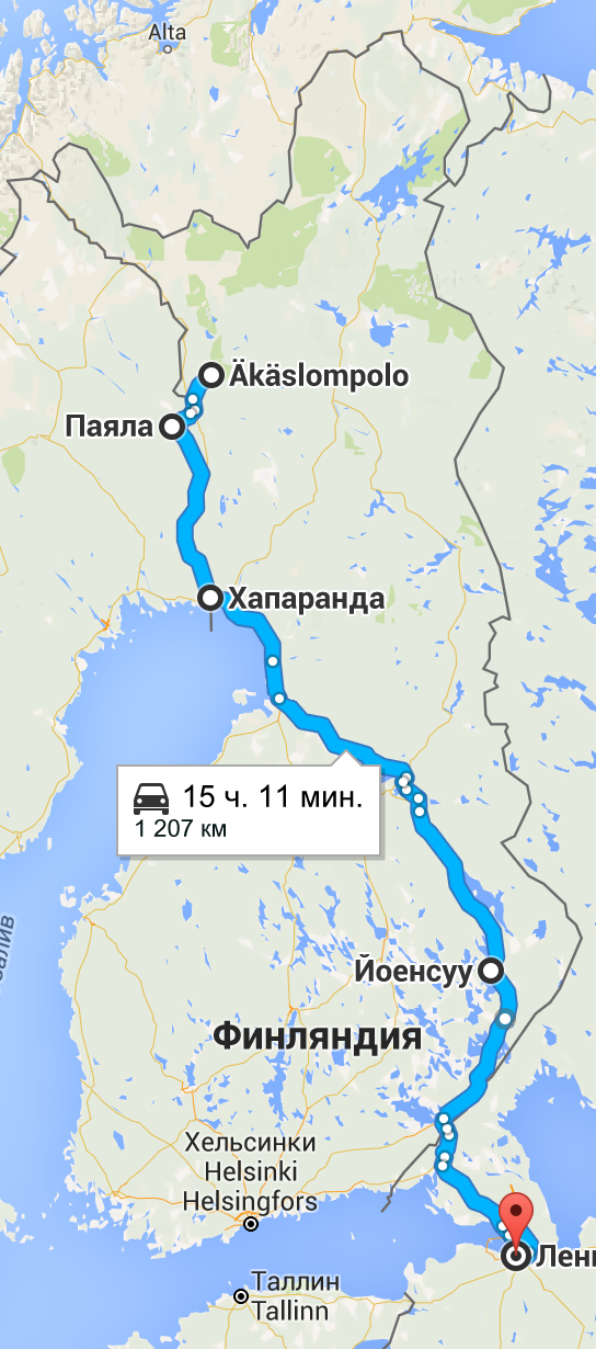
I always try to take another route on the return trip wherever it's reasonably possible, and this time was no exception. First, I wanted to drive the Kolari-Tornio stretch not via the Northern Lights Road, but via a detour through Sweden. On the Swedish side of the Torne valley there is a twin road to the Finnish Northern Lights Road, called simply Riksväg 99 (Swed. National Road). The main difference is that it does not continue into Norway; rather, it ends at Karesuando, at the last bridge to Finland. The distance via Swedish Road 99 is not significantly greater than via the Northern Lights Road.
Second, I wanted to drive all the way from Oulu to Imatra not on the crowded Roads 4 and 5, but rather on Roads 22 and 6, through Kajaani and Joensuu (well, bypassing Kajanni using some local roads through Vuokatti, but you get the idea). This route is about 80 km longer, and the total distance from Äkäslompolo to St. Petersburg exceeded 1200 km, but I expected (correctly) that these roads will be very quiet and pleasant to drive.
So, near Kolari I drove onto a bridge to Sweden. There were no border guards. The place on the Swedish side of the border is named Kaunisjoensuu which means "Beautiful River Mouth" in Finnish; it appears that a lot of place names in the Torne valley are in Finnish even on the Swedish side.

23. In Kaunisjoensuu you actually get not on the Road 99 itself, but rather, on Road 403, which connects to Road 99 in a town named Pajala. Here's what Road 99 looks like in Pajala before dawn. By that point the road became dry enough I was able to drive close to the speed limit. The speed limit on rural Swedish roads in the north is normally 100 km/h, while it is only 90 km/h in the more populated parts of the country. I wonder where the divide passes.
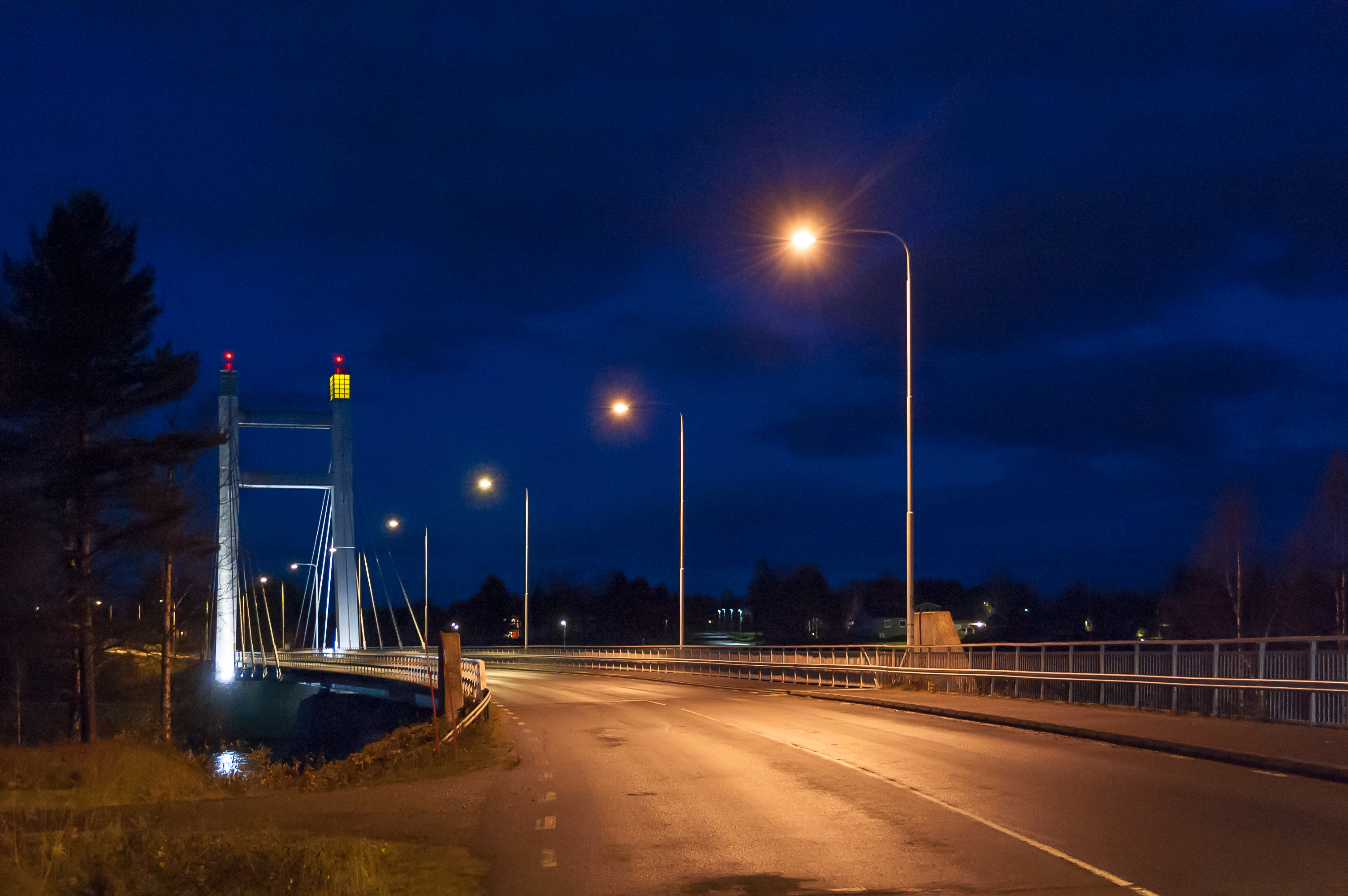
24. A bridge over Torne river on Road 403 in Pajala.
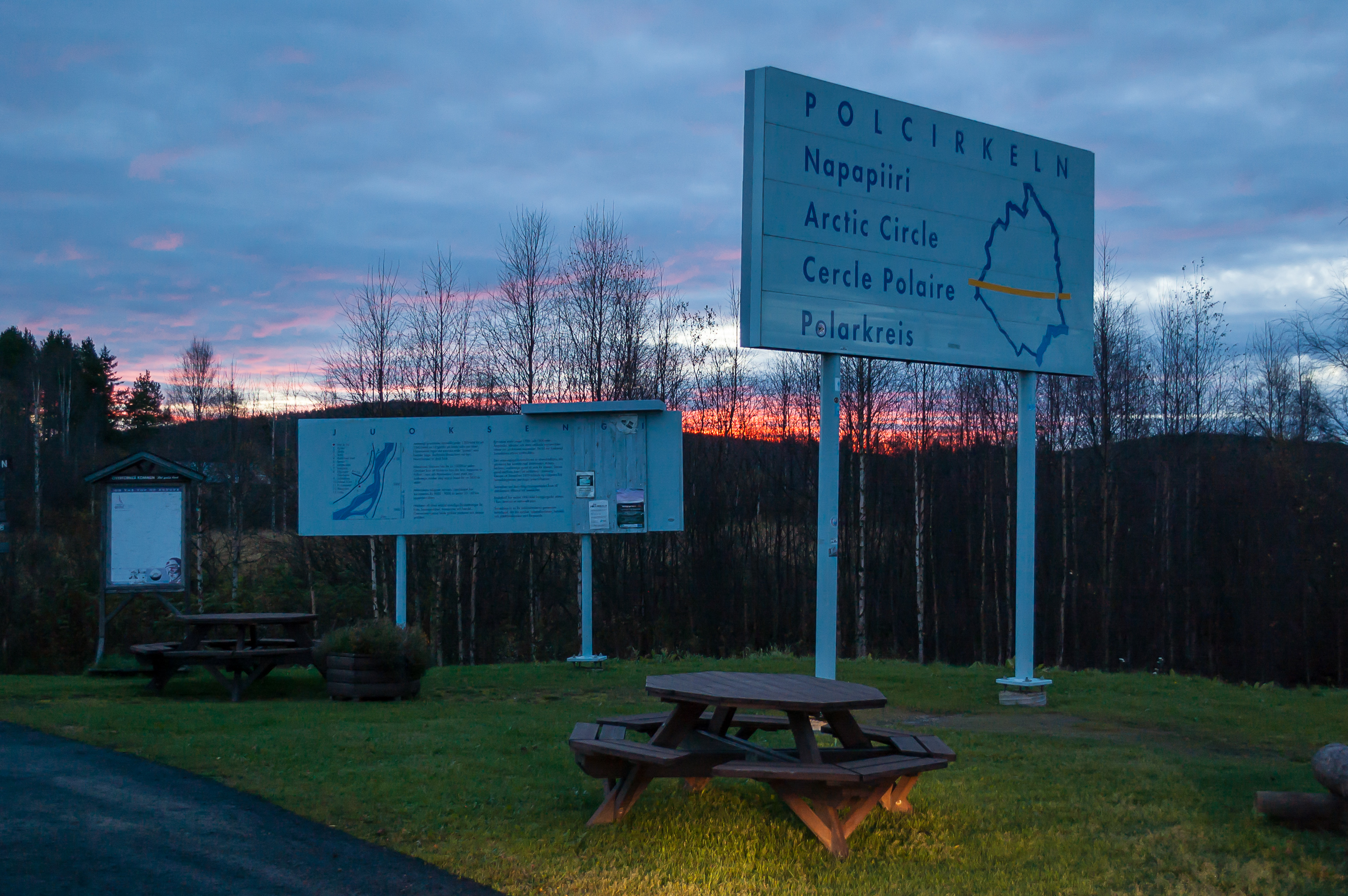
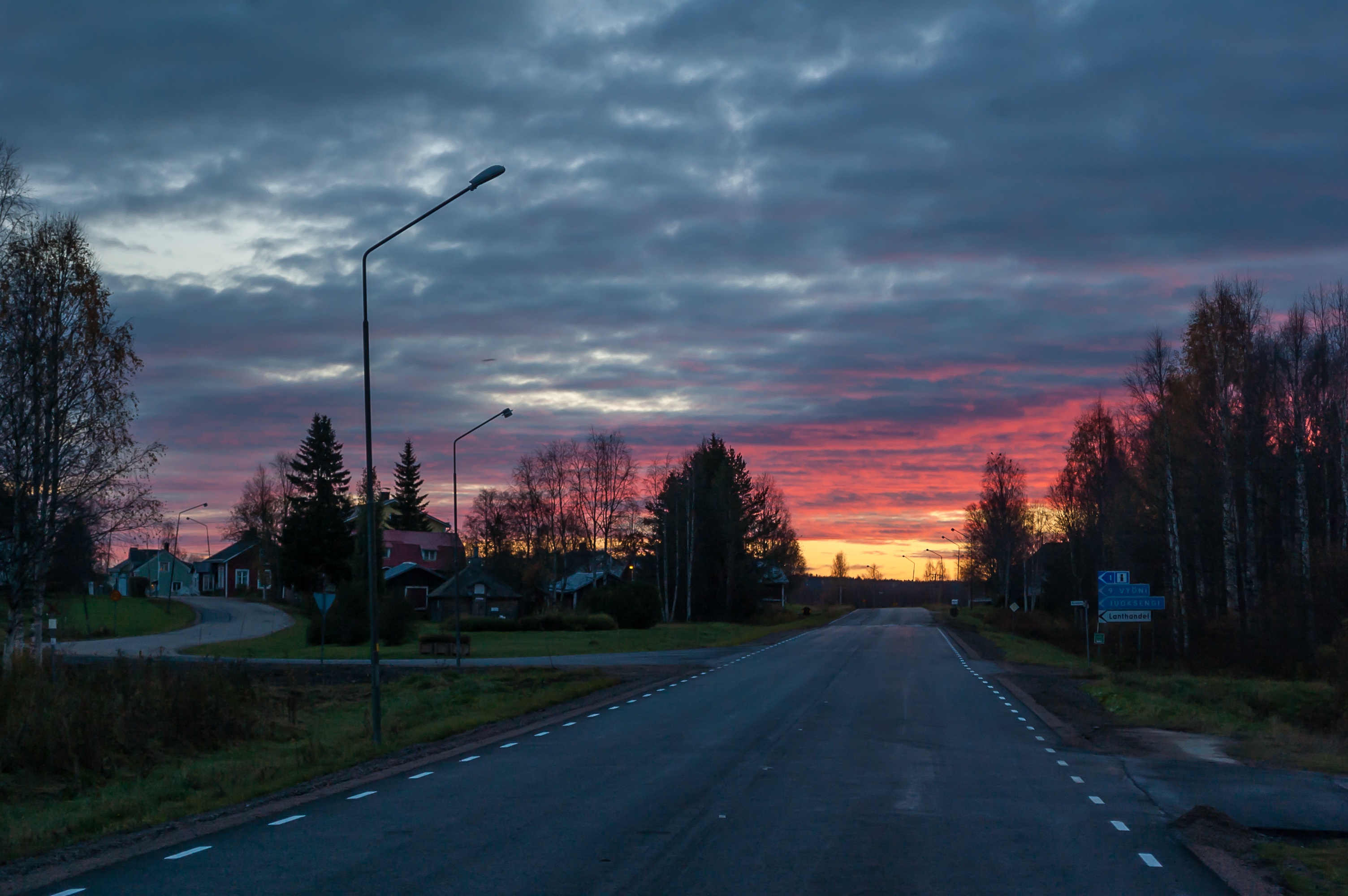
25. I completely forgot that I was supposed to pass the Arctic Circle again on my way south. Here it runs through a village named Juoksengi.
26. The Swedish rest area on the Arctic Circle is equipped better than its Finnish counterpart. As I already noticed in my trip into Sweden a few months before, Sweden has some really great rest areas.
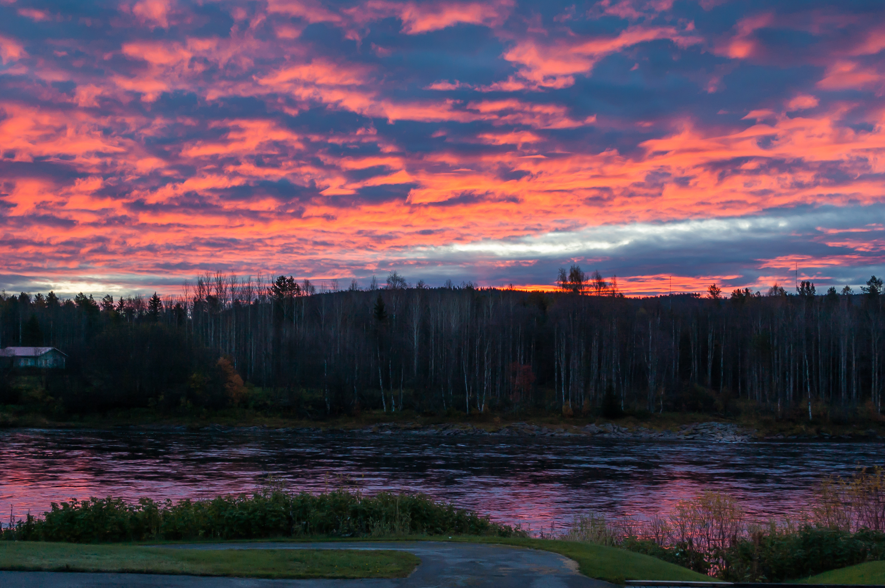
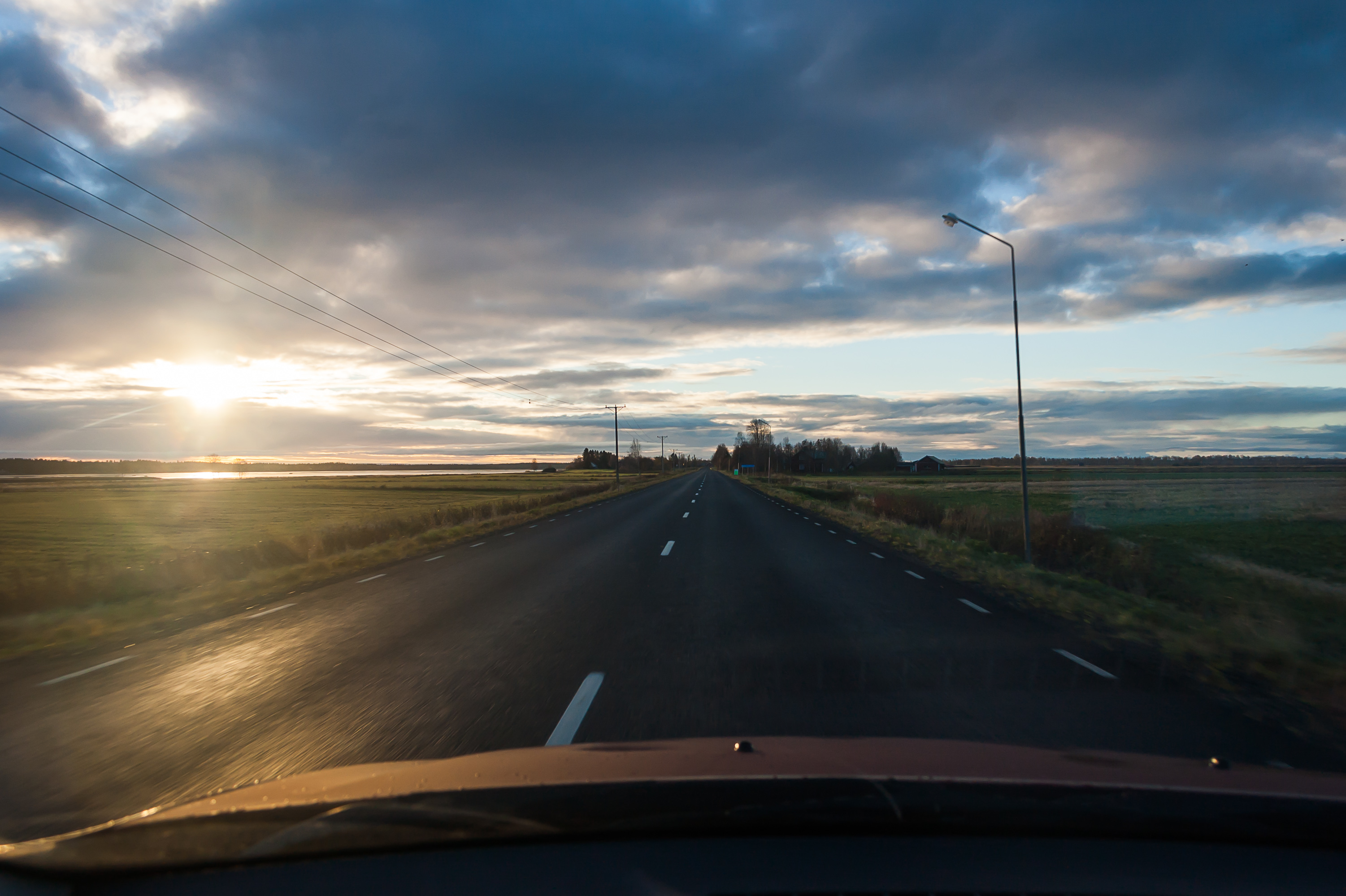
27. Fiery dawn over the Torne river.
28. Road 99 at dawn.

29. Rapids on the Torne river.
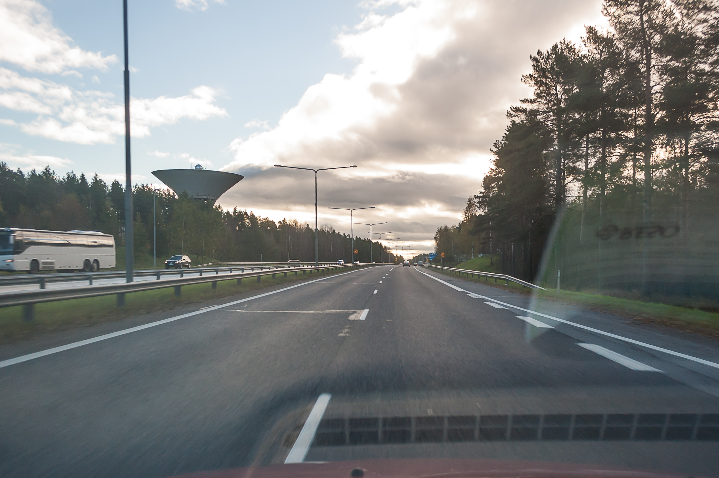
30. Driving on. The rest of the way until Haparanda was not especially remarkable.
31. Entering the town of Haparanda. Haparanda is smaller than the neighboring Finnish Tornio (5,000 vs. 22,000 population), but it doesn't really look all that small.
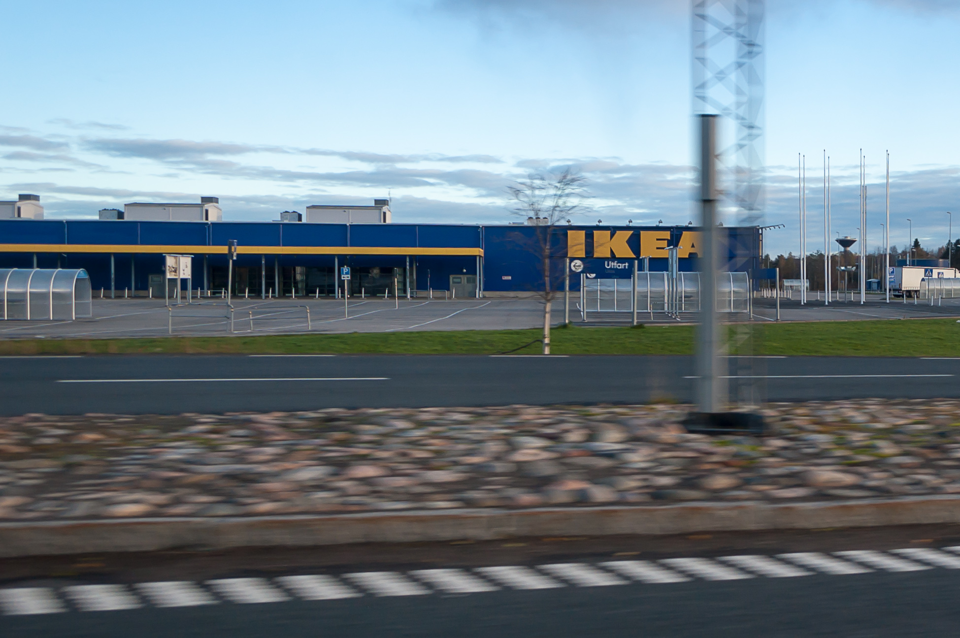
32. One of the main attractions in Haparanda for the residents of Tornio is the northernmost Ikea in the world. I kind of wanted to try their meatballs, but the hour was too early. I read somewhere that people drive to this Ikea from as far as Murmansk, Russia (a 700 km drive).
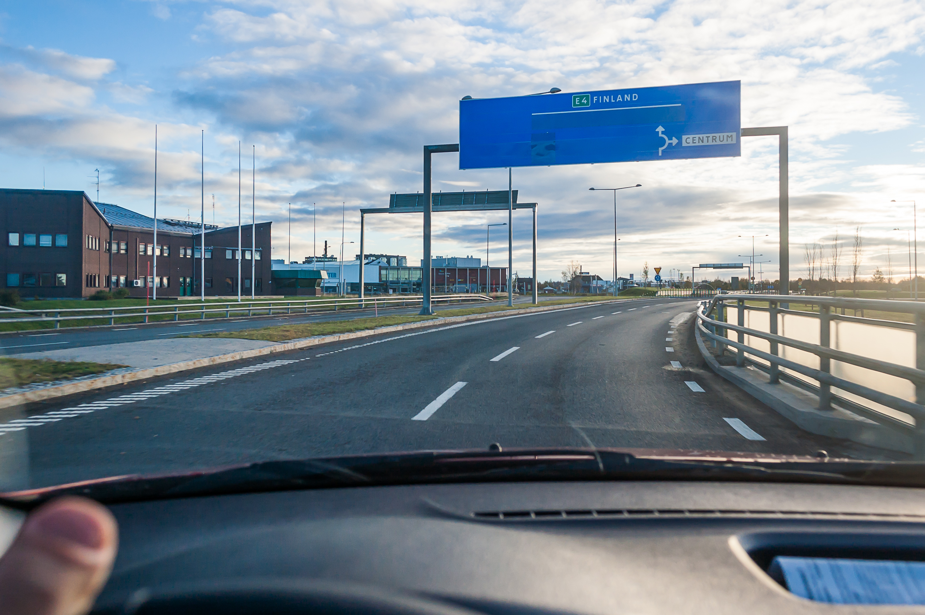
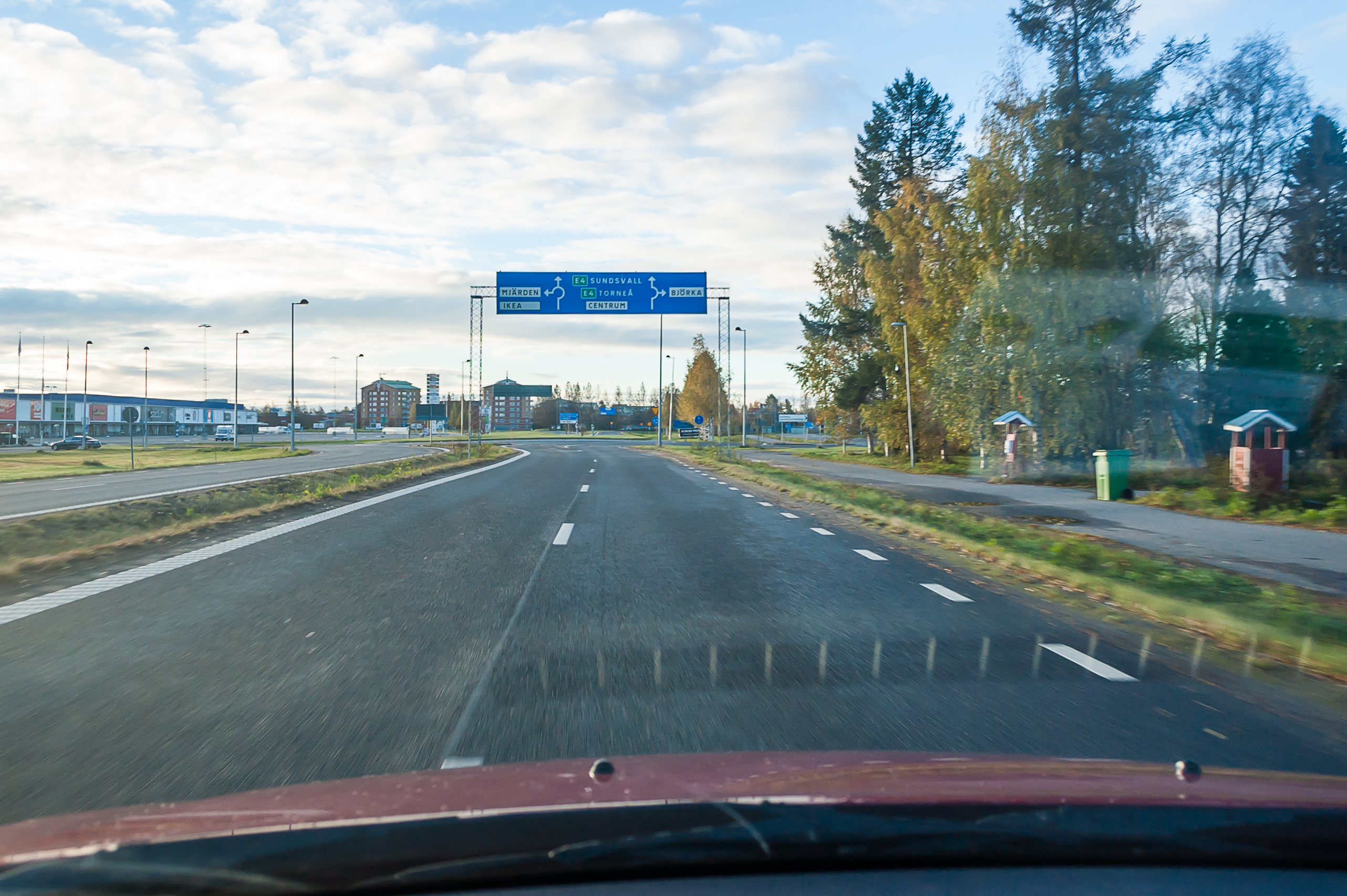
33. Right before the Finnish border. Route E4 is the backbone road of Sweden, somewhat similar to Finnish Road 4, running from Helsingborg in the south through Stockholm all the way here to Haparanda. Officially it ends not on the border itself, but rather at a junction with the Northern Lights Road in Tornio, so some 800 meters of Route E4 belong to Finland.
Interstingly, there's also a rail connection between Haparanda and Tornio. Finnish railways historically use Russian 1520 mm gauge (1524 mm actually but it's close enough), while Sweden has 1435 mm railroads common around most of the world. So there are double tracks between Tornio and Haparanda, and the cars need to change their bogies on one of the stations. There is currently no passenger service but there is a connecting bus between stations at Luleå in Sweden and Kemi in Finland.

34. The border itself. Finnish border guards were doing spot checks on the Finnish side. They pulled me over, asked for my papers, and examined the contents of my trunk. Surprisingly, the border guard woman spoke very good (though still noticeably accented) Russian, much better than the border guards at Russia-Finland border stations with their horrible thick accents. She disappeared with my passport into their van for some fifteen minutes or so, and I was getting a little worried (although thankful for being able to have a bit of rest). Finally she returned and told me that everything was in order, and I drove away towards Kemi, Ii, and Oulu.
I didn't stop in Tornio or take any pictures of it so the only bit of information I can tell is that Lapin Kulta, a very common Finnish beer brand, used to be brewed in Tornio. Which makes sense as Lapin Kulta means "Lapland Gold". Sadly they moved its production into Lahti in 2010.
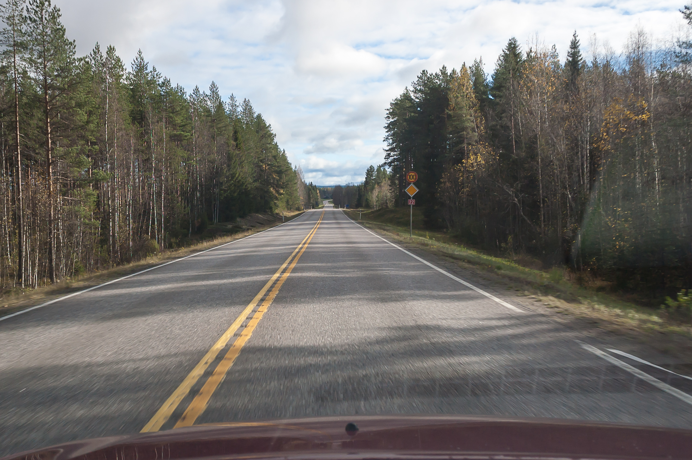
35. Oulu bypass, Road 4.
36. I exited Road 4 at an interchange on the Oulu bypass, and after refuelling drove to the southeast on the National Road 22, Oulu-Kajaani. Most of the Road 22 is also known as Tervan tie (Finn. Tar Road) tourist route. The city of Kajaani is the center of Kainuu Region, which is a backwater part of Finland which isn't really notable for anything in particular, apart from a history of tar-making. I mean really. No offense to the people of Kainuu but "tar-making" sounds like the least exciting occupation ever even for me. Tar, in fact, was a traditional Finnish export. They still have candies, liqueur, and even ice-cream with the taste of tar in Finland. It was believed to be the best medicine for, well, everything (together with alcohol and sauna).

37. Bridges on Road 22 and a railway line in Paltamo, over the mouth of Kiehmänjoki river which flows into Oulujärvi, the largest lake by far in this part of Finland. As I expected, traffic on that Tar Road was really light. And of course it was much warmer here than in Lapland, at +10 °C.
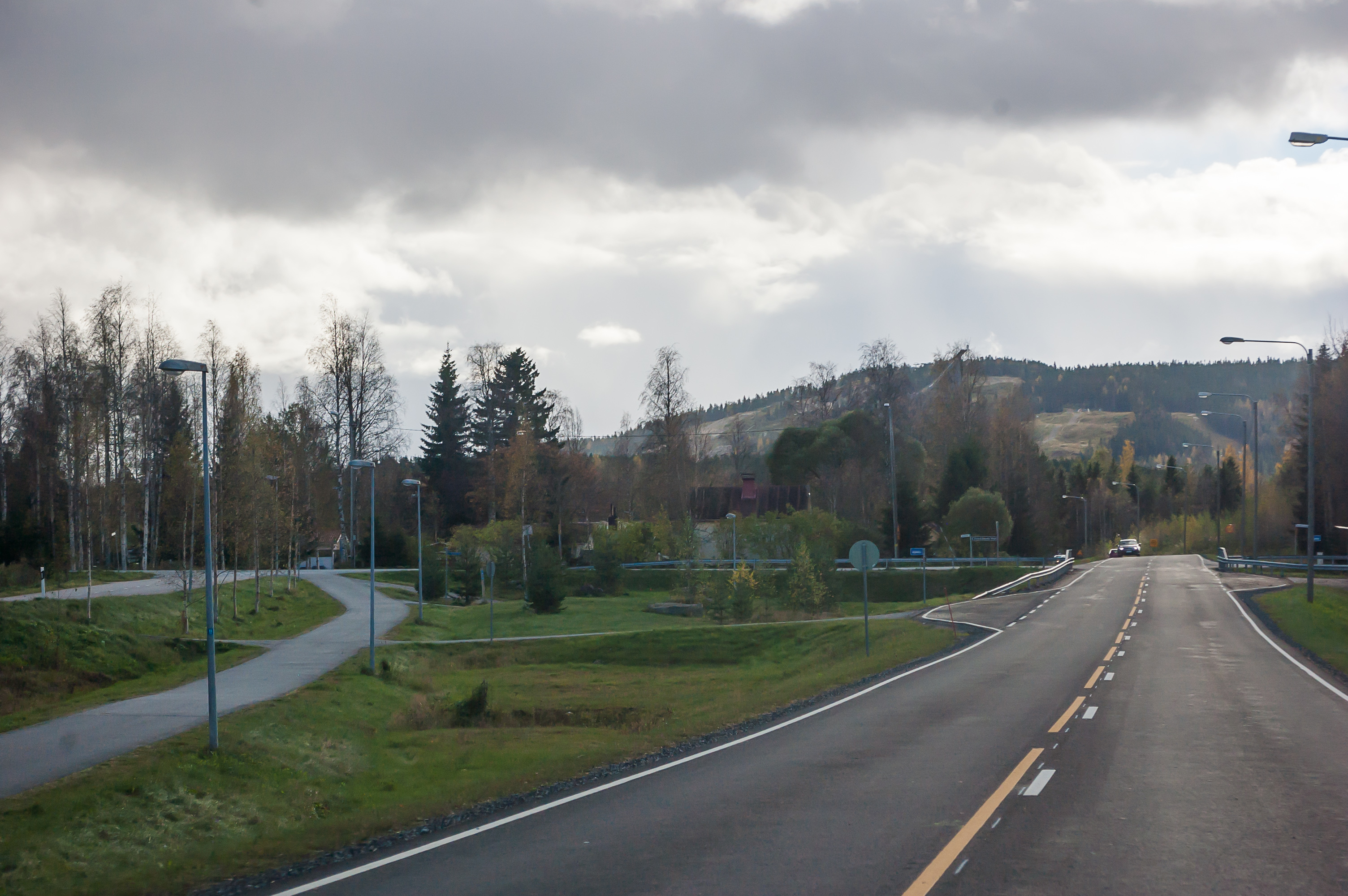
38. Roads 22 and 6 technically join in Kajaani, but unless you have some business in Kajaani itself you should take the Regional Road 899 as a shortcut; it would be significantly shorter that way. Road 899 runs through a town named Vuokatti, which has some skiing slopes although of course they are nowhere as great as those in Ylläs.
National Road 6, or Kuutostie (Finn. Sixth Road) is very long, starting at Koskenkylä village near Loviisa where it branches off from Road 7, and running to the northeast through Kouvola, Lappeenranta, Imatra and Joensuu. After Joensuu it curves back to the nortwest and runs some more towards Kajaani. I had driven on Road 6 several times before, as it mostly runs along the Russian border; I was familiar from the stretch from Lappeenranta to Joensuu. It turned out that Kajaani-Joensuu part is rather long and has very little traffic as well.
After noticing that I had already driven 600 kilometers, I stopped at a rest area in a nice pine forest near Road 6, and rested for about half an hour, stretching my legs and eating my remaining food. This time shitty-variety microwavable burgers actually seemed quite tasty, even though I had to eat them cold.
I was tired of course but felt okay to drive on. In fact in my original plans I intended to make an overnight stop on the return trip somewhere in the middle, but ended up deciding against it. Kajaani or Iisalmi or Nurmes or whatever just didn't seem attractive enough by themselves to justify spending an evening there after Lapland, and I already knew I was capable of making the entire trip in one go.

39. Joensuu bypass, a stretch of motorway. The part from Joensuu to Imatra was already familiar to me. It has moderate traffic but still doesn't compare to Roads 4 and 5. Cars with Russian license plates finally reappeared here. Russians often drive annoyingly slowly in Finland (in stark contrast to Russia itself), sometimes at 10 km/h less than speed limit (even in perfect driving conditions), while the Finns themselves tend to speed lightly as is normal everywhere in the world, at about +10% to speed limit. Myself, when in Finland, I do as the Finns do.
40. Last kilometers until the Russian border near Imatra. It got dark while I was crossing the border. Up until then I felt a bit sleepy (and even tried unsuccessfully to doze off for a while, stopping somewhere near Kitee), but Russian roads woke me up very well.
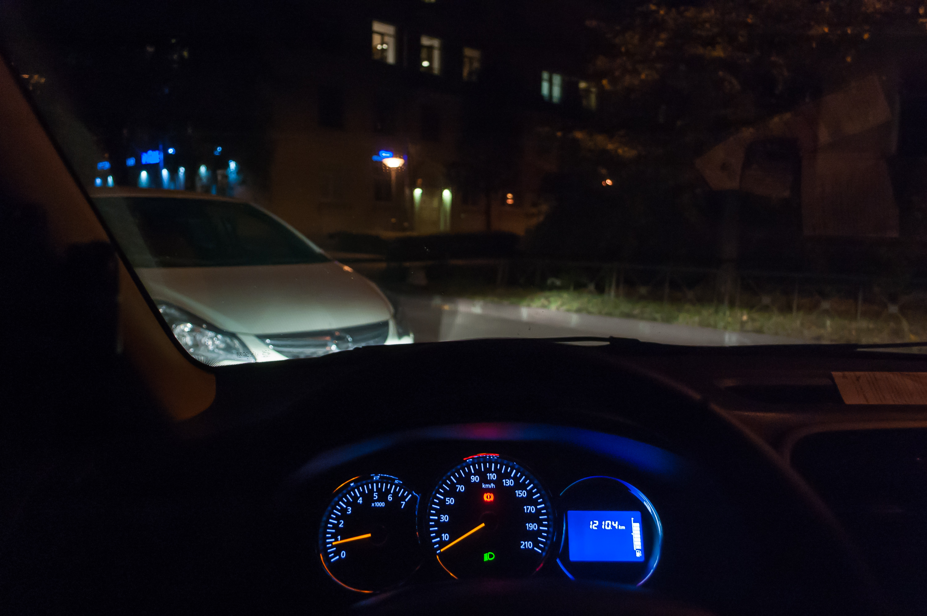
41. And at about 22:00 here I am in St. Petersburg again, after driving for 1210 km. That's a record I'm unlikely to surpass any time soon.
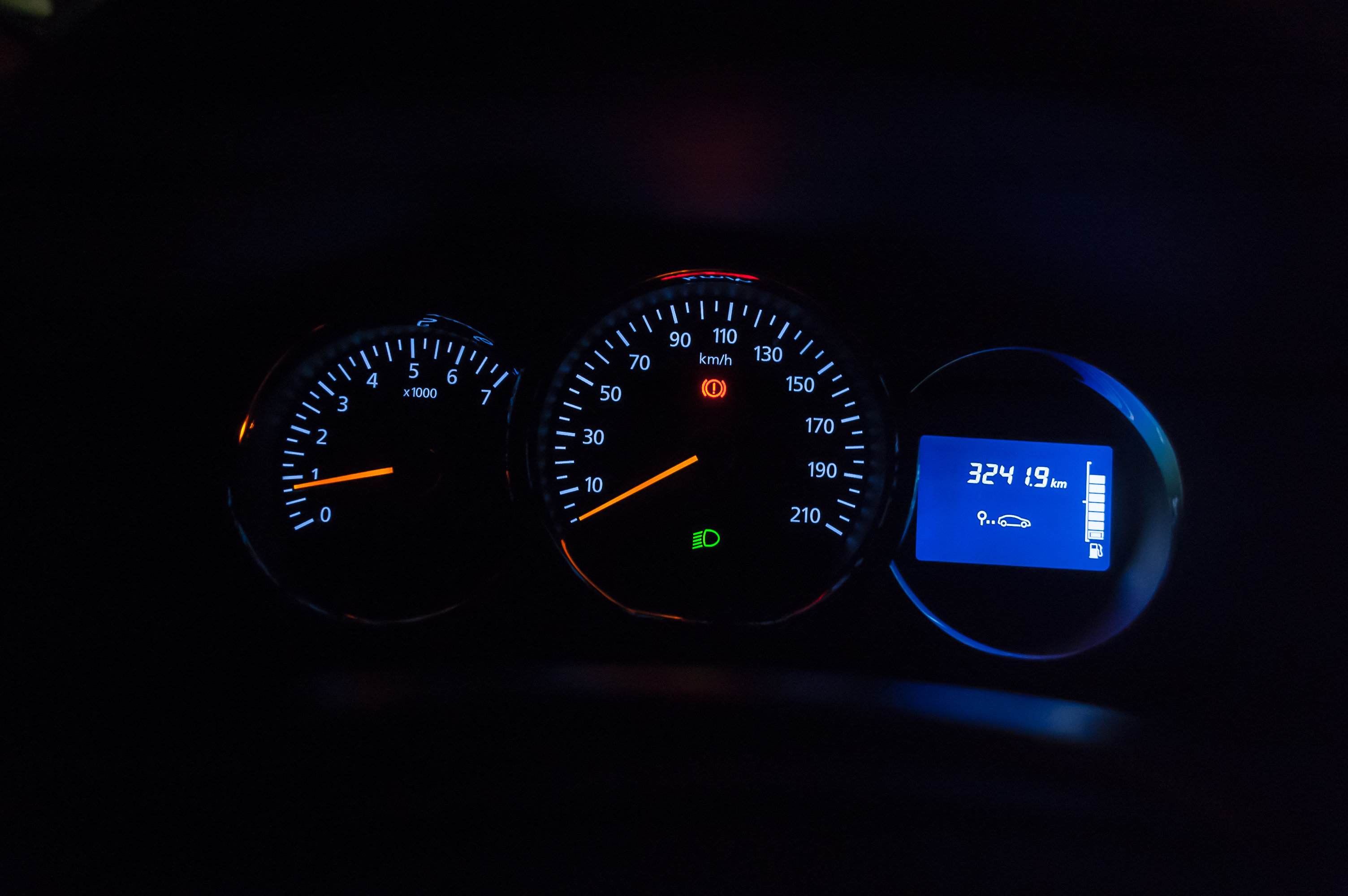
42. And the total distance travelled on this trip was 3242 km (other stats: 73.8 km/h average speed, 217.4 l of gas used, 6.7 l/100 km gas mileage). My eight days long Lapland vacation was finally over.
Trip Budget
I usually don't track travel expenses very closely, one of the primary reasons being that in a group it's hard to keep a clear picture who pays for what and how much it comes to in total. As I was travelling alone this time, I was able to keep track of all expenses nicely. So here's my budget if you wonder how much a moderately frugal person will need for a week-long car trip from St. Petersburg, Russia to Finnish Lapland.
Accomodation
Lost in Lapland Kelostar cabin, Äkäslompolo, Lapland, Finland x 7 nights
€325
23,750 rub.
Birtavarre Camping, Birtavarre, Troms, Norway x 1 night
390 NOK (~€40)
3,050 rub.
Total
26,800 rub.
Gas
Lukoil near Vyborg, Russia (minor refueling)
500 rub.
Kärkkäinen near Ii, Finland
€51
3,800 rub.
Teboil in Äkäslompolo, Finland
€43
3,200 rub.
YX in Skibotn, Norway
580 NOK (~€58)
4,500 rub.
Neste near Oulu, Finland
€61
4,450 rub.
Lukoil near Vyborg, Russia
1,700 rub.
Total
18,150 rub.
Food and other minor expenses
Grocery shopping in O'Key, St. Peterburg, Russia
1,800 rub.
Grocery shopping in K-Market, Äkäslompolo, Finland
€34
2,500 rub.
Minor grocery shopping in K-Market, Äkäslompolo, Finland
€13
950 rub.
Hiking map from Kellokas Nature Center
€6
450 rub.
Total
5,700 rub.
Souvenirs
Two bottles of cloudberry liqueur from Alko store, Äkäslompolo, Finland
€37
2,700 rub.
Various souvenirs from Wood Jewel store, Äkäslompolo, Finland
€26
1,800 rub.
Total
4,500 rub.
Total
~55,000 rub.
Excluding the souvenirs, the trip cost me about 50,000 rubles, or €725. I think that's really cheap for a week-long vacation, especially considering our plummeted ruble exchange rate. Moreover, bringing someone along wouldn't have increased the total budget for more than 7,000-10,000 rub.; accomodation and gas expenses wouldn't have changed.
Final Thoughts
As you might have noticed, I pretty much fell in love with the North and with Lapland in particular. Out of three landscapes I visited — Pallas-Yllästunturi fells, Scandinavian mountains in Käsivarsi, and Northern Norway fjords — most of all I liked the Scandinavian mountains. I had never actually been to any real mountains and it turned out mountains are even more amazing than fjords. The cabin in Äkäslompolo also was literally perfect. I would gladly go there again, perhaps even in winter — maybe I'll ever learn to ski for the occasion. And I want to visit Käsivarsi again badly. The hike to Treriksröset made me want to try backpacking; all I ever tried before were day hikes, and now I'm intending to buy some basic backpacking gear and try some weekend backpacking in summer 2016. And as for road trips, Northern Norway would be a worthy next destination; I'd like to see Tromsø and the North Cape.
In short — go to Lapland. Lapland is great.