Suggested soundtrack for this part: Teleks - Hiljaa virtaa Vantaa (Finn. Quetly flows Vantaa):
Now, Finland, a land of thousand lakes (or, rather 187,888 lakes, as is commonly quoted, though I suppose the exact number depends on how you define a lake), is at the same time surprisingly poor in major rivers. There are some, like Oulujoki, Kemijoki, or Tornionjoki, but these tend to gravitate to the north (Lapland and Northern Ostrobothnia regions). In Southern Finland, on the other hand, the only major river that flows into the Gulf of Finland is Kymijoki in the southeast of the country*.
* Vuoksi may technically count, but it takes a very circuitous route, flowing through Karelian Isthmus in Russia into Ladoga Lake, which in turn discharges into the Gulf of Finland through Neva River.
Central Helsinki in particular lacks any freshwater bodies at all. This might not be immediately obvious, what with all the brackish water of Gulf of Finland around it, but it's mildly curious when you think about it. Why wasn't Helsinki built at the mouth of a river, like Turku or Porvoo or Kotka?
1. It turns out, it actually was. The river is called Vantaanjoki, Vantaa River (Vanda in Swedish), and its mouth is located about 5-6 kilometers to the northeast of the modern Helsinki center. That location is now known as Vanhakaupunki, the Old City in Finnish. Helsinki was established here in 1550 by the order of King Gustav Vasa, but it wasn't a particularly advantageous location for a seaport, and by 1640 Helsinki moved to its current location. The Old Town which was pretty tiny to begin with got abandoned, and over the centuries, disappeared without a trace.
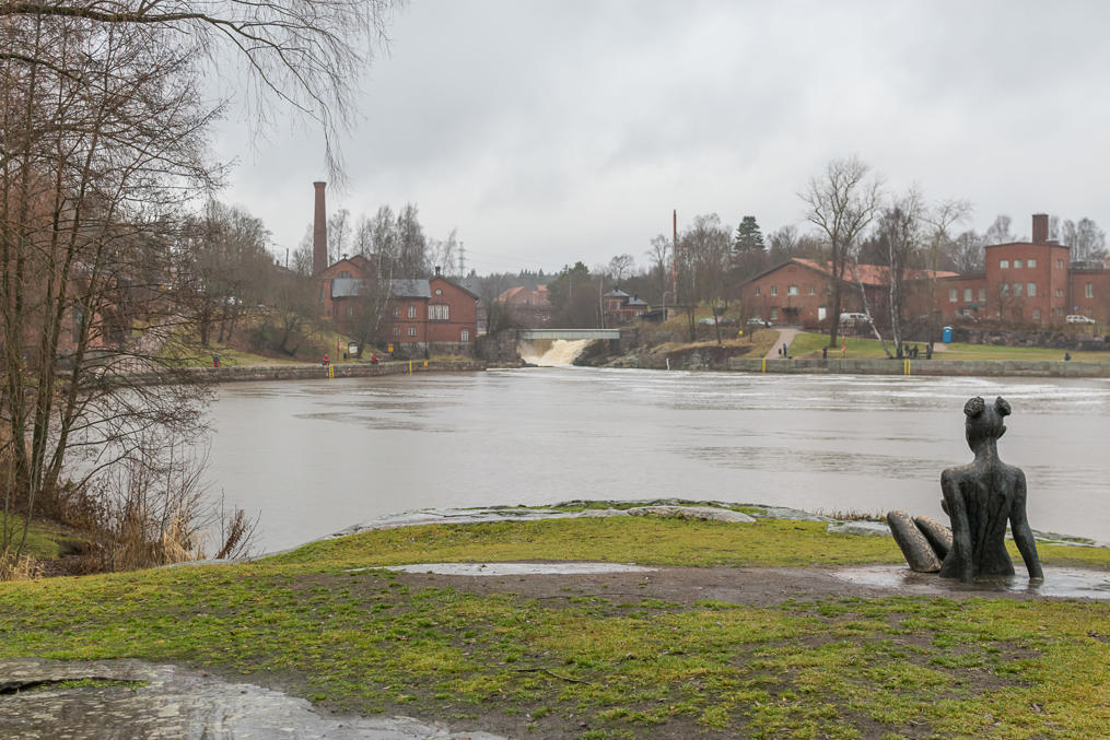
Much later, a small water power station was built on the powerful Vanhakaupunginkoski Rapids at the mouth of Vantaa River. The rapids and the old power station buildings, now home to the Museum of Technology, make the area very scenic.
If you want a more detailed version of how Helsinki (and its name!) came to be, here it is. After the Third Swedish Crusade* at the end of the 13th century, Swedish migrants began to move into Finland, or as they called it then, Österland: the Eastern Land. Vantaa and Kerava River valleys in particular were colonized by the Swedes from Hälsingland region. (Hälsingland is approximately in the middle of Sweden, and contains such towns as Sundsvall and Hudiksvall. It seems to be of little note by itself.)
* Yes, Swedish Crusades in Finland were a thing in the 13th century, and they supposedly are how Sweden came to own Finland in first place. The Third and the last Swedish Crusade in particular culminated with the founding of Vyborg.
Hälsinglanders called the Vantaa River (the original Finnish name of the river, with unclear origins) Helsingå, presumably after themselves. What's more, they named the entire region simply Nyland, the New Land (the name was eventually borrowed into Finnish as Uusimaa, also "New Land"). Pretty an unimaginative bunch, those Swedes. A village in the place where the King's Road crossed Vantaa/Helsingå River was similarly named Helsinge. That place was about 7 km upstream of the rapids at the river mouth.
Helsinki was established in 1550 by the order of Gustav Vasa originally as a market town, to rival Tallinn on the other side of the Gulf of Finland. The point was rendered moot as Estonia was also annexed to Sweden soon thereafter (see: Livonian War); hence the town's long stagnation. The Swedish name for Helsinki was and is Helsingfors, which by now should be self-explanatory: "Helsingå Rapids". The name got Fennicized as Helsinki, and survived when the town was moved onto Vironniemi Peninsula* 90 years later. Thus Helsinki is named after its Vantaa River in a very roundabout way.
* Vironniemi (Finn. Estonian Cape) does not refer to the entire "Central Helsinki peninsula" (not sure if it ever had an official name). It rather referred to a cape which does not really exist now, due to changed coastline, but Katajanokka Cape was a part of it. It also encompassed modern Kruununhaka and Kluuvi areas. This old map shows Helsinki in 1645, with the built-up area confined to Vironniemi, connected to the mainland by a tiny isthmus.
Interestingly enough, the original Helsinge village also still existed, and got later known more precisely as "Helsingin pitäjän kirkonkylä", Helsinge Parish Village; its St. Lawrence Cathedral from the 15th centiry predated Helsinki the city, and is currently the oldest surviving building of the Greater Helsinki area. Helsinge rural municipality was populated relatively thinly up until the second half of the 20th century. It officially became a town in 1972, and, after some deliberation was renamed into Vantaa, restoring the old Finnish name. So Vantaa the current northern suburb of Helsinki is actually the original entity named "Helsinge". I hope you are not too confused yet. I just love toponymics.
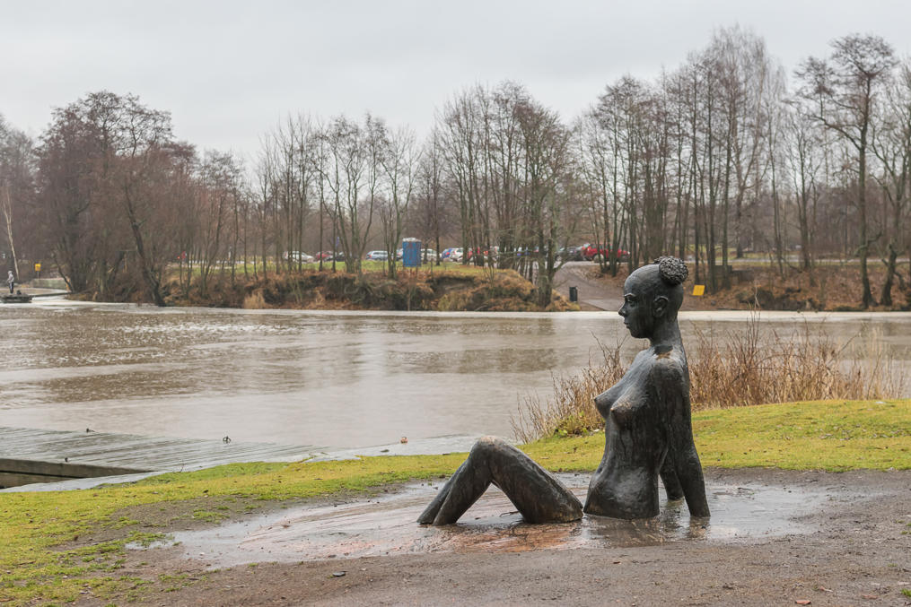
2. A naked lady statue with an odd hairstyle is overlooking Vanhakaupunki from a boulder. I would have never guessed by myself that this is supposed to be Queen Catherine of Saxe-Lauenburg, the first wife of King Gustav Vasa. The status was installed in 2014. I'm not sure why; she certainly didn't inspire him to found Helsinki or anything of the sort, having died fifteen years earlier. You might think that he missed his first love and kept thinking about her in the later years but no, the marriage was purely political (she was related to the Danish royalty; presumably Gustav Vasa, who actually liberated Sweden from Danish rule in 1523, needed to amend Swedish-Danish relations), and they never even bothered to learn each other's languages properly. She had kind of a nasty personality (and doesn't seem to be a kind of person who would sit naked on a boulder in Vanhakaupunki; at least she has a suitably bitchy face here), but then Gustav wasn't a very nice guy himself. She died from a miscarriage, but the rumors that Gustav had murdered her persisted. At least they had a son, who later became King Eric XIV, the one who had a grudge against his younger brother Johan, Duke of Finland, and was deposed by him and died in the castle of Turku.
Anyway, this is the only memorial I saw in Vanhakaupunki, which is a pity, as there are actually several memorials devoted to Helsinki itself somewhere nearby.
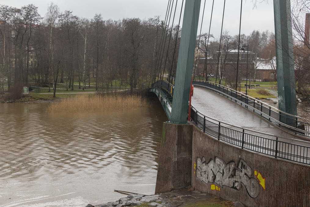
3. The first Vantaa River bridge from the mouth is called Matinkaari (Finn. Matti Arch, after Matti Väisänen, some distinguished Helsinki city official). It's pretty big, but meant only for pedestrians and bikers.
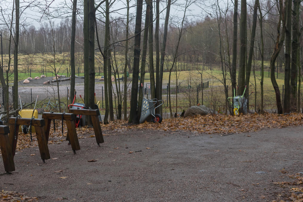
4. A nature trail leading to Lammassaari Protected Area starts behind Matinkaari Bridge. For some reason there is a great number of wheelbarrows lying around.
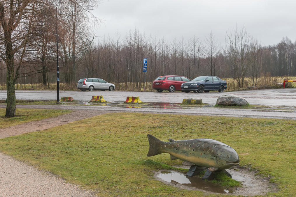
5. Vantaa River, 100 km long and flowing from Hausjärvi Lake in Tavastia, was famous for its salmon through the ages. Indeed, the modern coat of arms of Vantaa displays the tail of a diving fish. Nowadays salmon stocks have greatly declined, not only through overfishing, but also through pollution and damming on the river at Vanhakaupunginkoski. Fishing in Vanhakaupunki area is now allowed but strictly regulated; areas near the rapids have prominent signs "Fishing forbidden at all times" (curiously, translated in Russian but not in English), while other spots at the time of my visit had only "Fishing forbidden through dates ..." notices. Buying a fishing license might be required regardless; I'm not sure.
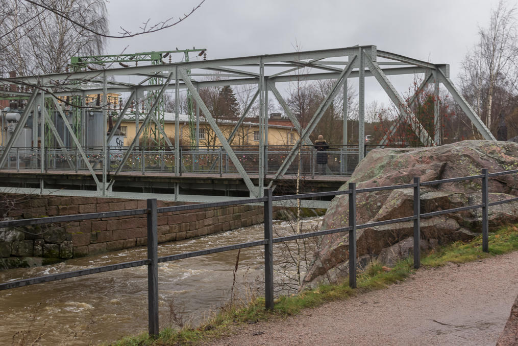
6. Vantaa River briefly splits in two arms at Vanhakaupunginkoski; an island in between, a few hundred meters wide, is called Kuninkaankartanonsaari (Finn. Royal Manor Island, after a roayl manor that existed there in Helsinki's earliest years; "Royal" means just that it belonged to the Swedish Crown, not that any royalty actually lived there). Several buildings, originally used by the power station, and now occupied by the Museum of Technology, are located on the island. The remains of power lines and other electrical equipment are also preserved.
I knew about the museum in principle but didn't think about it when I was planning the trip. Museum of Technology in principle sounds like the kind of museum I would like, but I'd have likely spent several hours there, and the rest of my walk would have to be after dark, which means no good pictures. So I decided to walk on and visit the museum (and examine Vanhakaupunki area more closely) some another day.
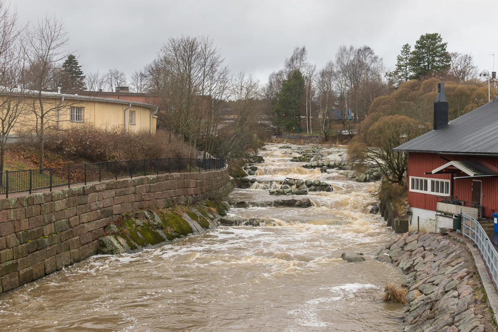
7. The rapids in the eastern arm look very respectable, but the power station itself is on another arm.
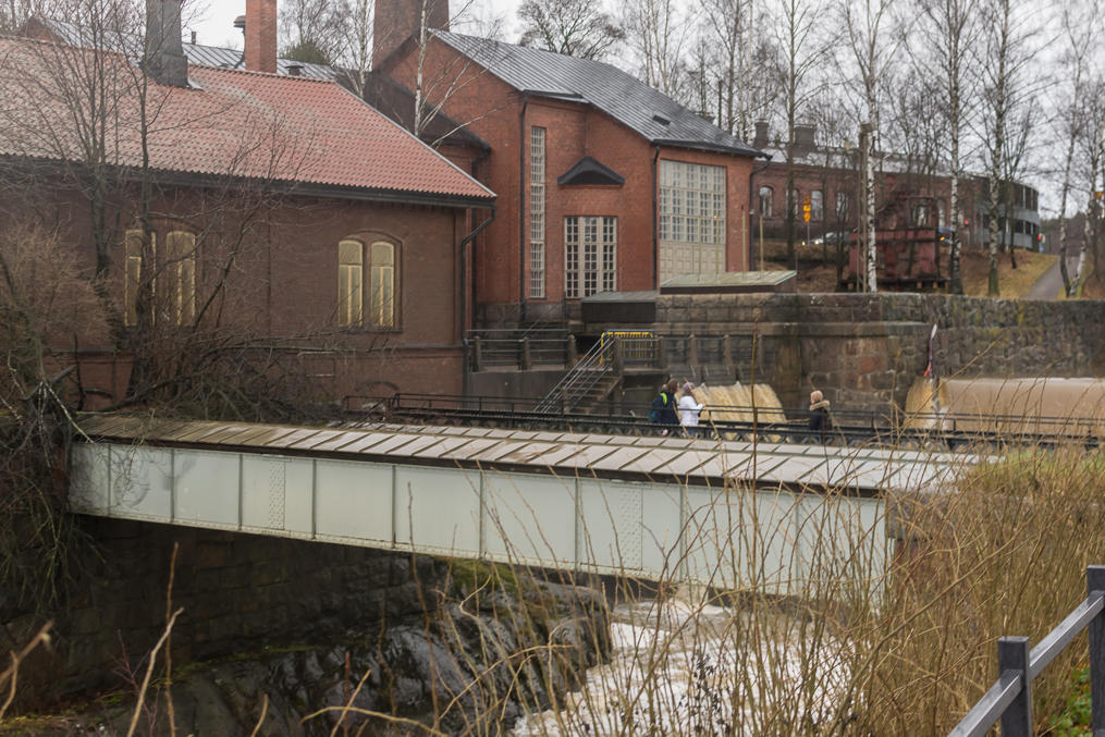
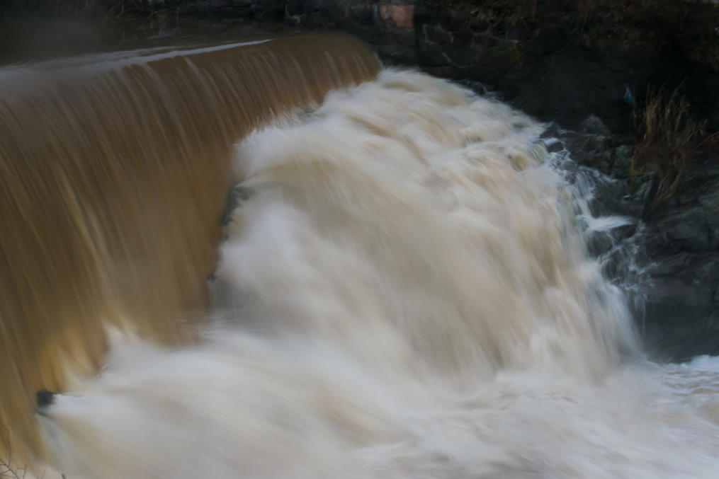
8. And this is the western arm and the power station! Sadly I couldn't get an angle which would show the entirety of this place, which is really very beautiful*. The power station was built in 1876, and its energy output was really tiny, just 200 kW, so it closed down by 1970. In 2000, it was restored, and now is operated by Helen (Helsingin Energia), Helsinki power company, and is open for visitors in summer.
* My Nikon 18-200 lens which was the only lens I took anywhere got damaged in September on my last vacation in Norway; it now produces pictures with noticeable motion blur everywhere but the center of the frame, regardless of focus length or exposure settings. I probably knocked it against something. I need to have it repaired, but so far I still haven't got around to doing this. In the meantime I use the only other lens I have, Nikon 35/f1.8. It's actually a great lens and produces great pictures (noticeably better than ones from the 18-200), and it's suprisingly cheap, which is why I bought it back in the day. The only real downside is, well, that it has fixed focus length, that is, it cannot be zoomed at all. Using it on a regular basis felt awfully inconvenient at first, but then I sort of got used to it. You just have to walk closer or farther instead of zooming, that's all. Of course there are still some situations where you can't do this, and taking a picture of these rapids was one of them.
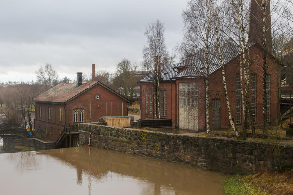
9.
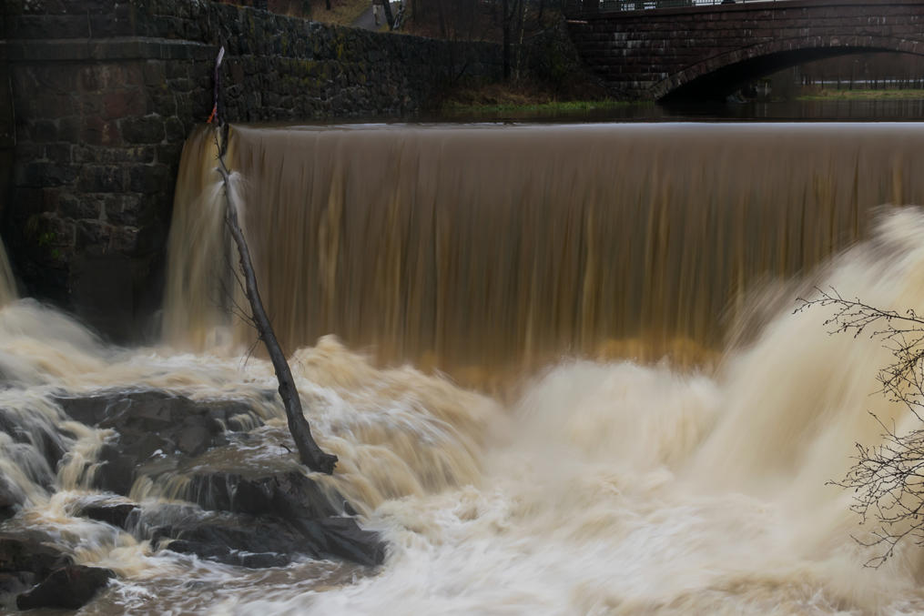
10. This arm of Vantaa is dammed, creating a high and beautiful waterfall (okay, that tree trunk ruins it a bit at the moment).
11. The dam is in faсt the single greatest factor harming the local salmon population, and Helsinki city considers its demolition now, despite the aesthethic value.
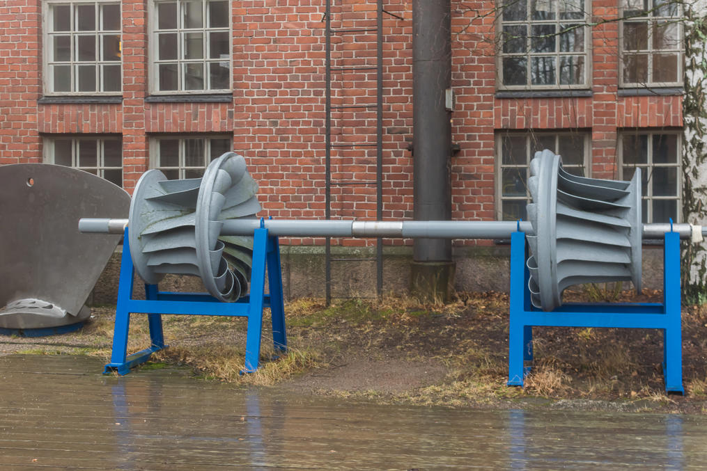
12. Power station turbines on display.
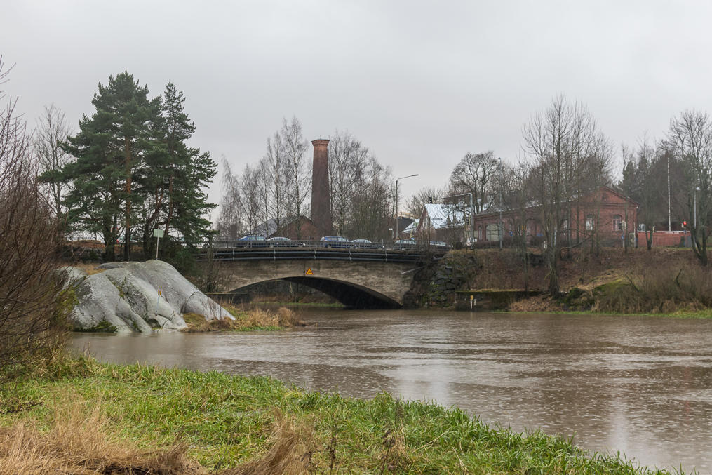
13. Vanhakaupunki and Kuninkaankartanonsaari Island left behind, we now just walk along the shore of Vantaa River. Somewhere nearby is Helsinki Water Station; Helsinki used to get its water from Vantaa. Later, a water tunnel was constructed, drawing water from the huge Päijänne Lake. Päijänne water is extremely clean, but it's pretty far from Helsinki, so the tunnel had to be very long — it is in fact literally the second longest tunnel in the whole world, 120 km long*! Of course you can't walk or drive through it, but still it's an impressive feat of engineering. The tunnel was constructed in 1972-1982. Water can still be drawn from Vantaa River in emergencies or when the tunnel is closed for maintenance.
* The longest tunnel in the world also carries water — it's the Delaware Aqueduct, supplying half of New York City with water. It is 137 km long, not really much longer than Päijänne Water Tunnel.
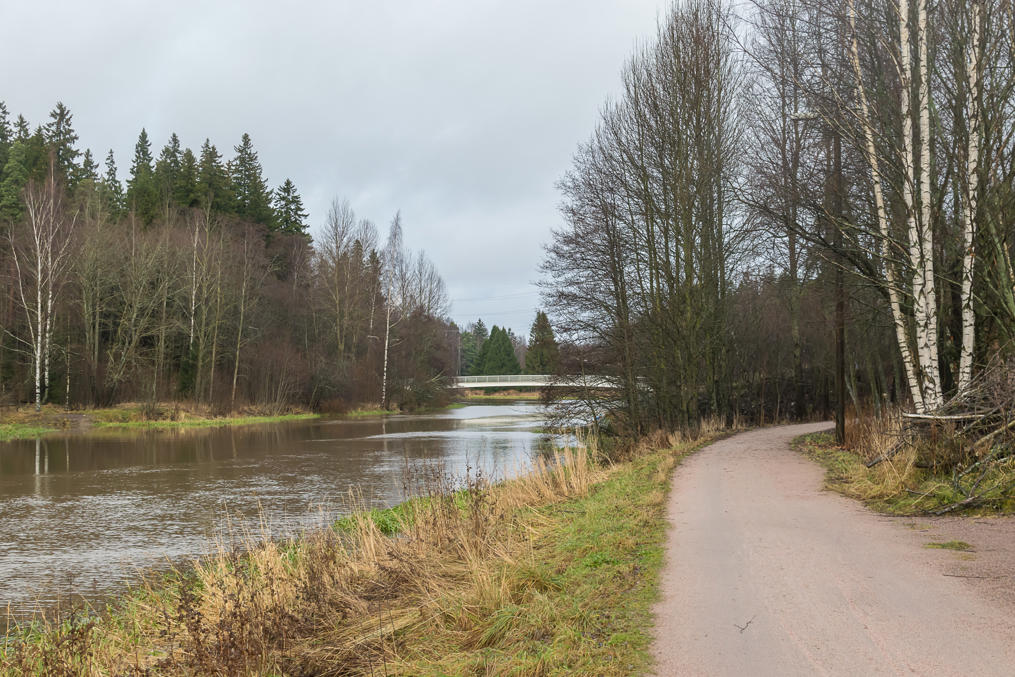
14. Right after Vanhakaupunki the city seems to end pretty abruptly, with forests seemingly closing in from both sides of the river. Of course Helsinki residential areas actually continue on in a few hundred meters to the west and to the east. But that's one of the nicest things about Helsinki and its suburbs; outside of central Helsinki, neighborhoods are pretty much just plopped here and there, and are commonly separated by very natural-looking forests or bodies of water. I hoped to see a hare somewhere under the trees, but squirrels were all I got.
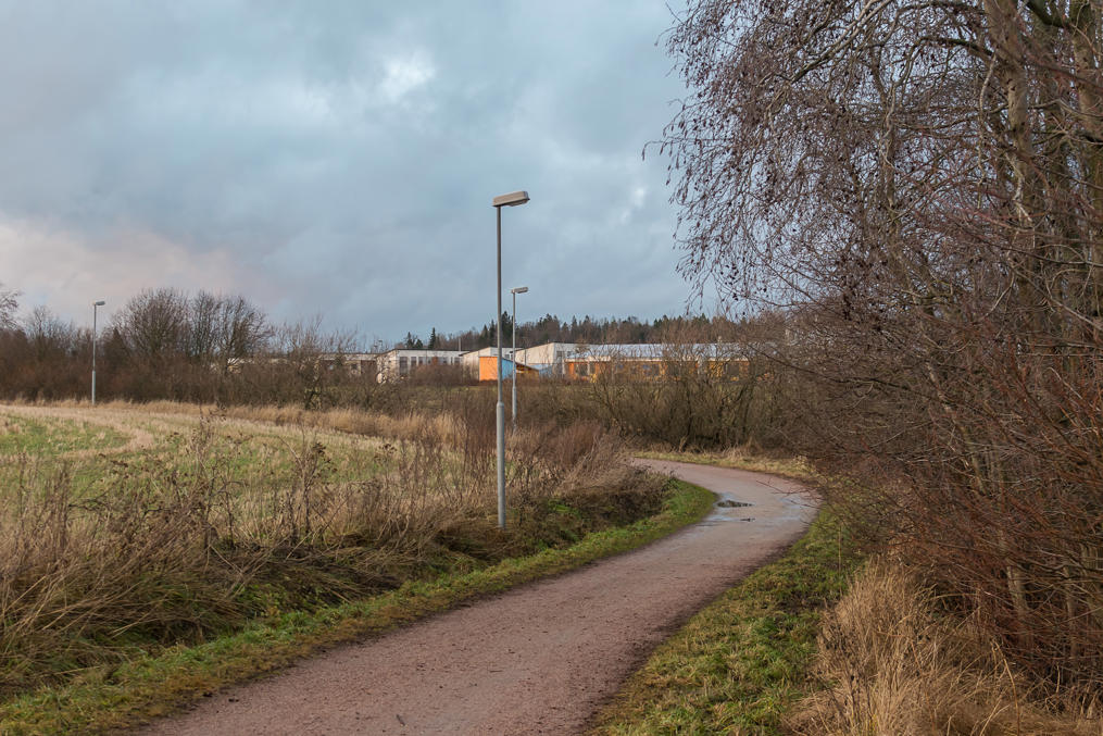
Another nice thing is that there are excellent wide gravel paths along both sides of Vantaa River, which stretch pretty far. The one on the eastern shore ends at Tammisto area, and the one on the western shore is significantly longer, stretching nearly up to Ring III, Helsinki's outer ring road.
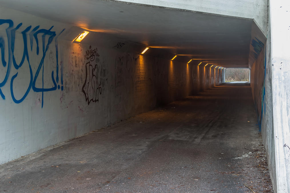
15. For me Helsinki has always seemed a city where all modes of transport (on foot, by bike, by public transit, or by own car) are nicely balanced, and all of them are very usable; of course, specific scenarios may vary, but still. Finnish cities in particular virtually always have a network of walking/biking paths, which in less densely populated areas (and there aren't a lot densely populated areas in Finland) might be completely orthogonal to roads. For example, if such a road crosses a major road or a motorway, there will be a nice underpass. Not a dangerous crosswalk, nor a silly pedestrian overpass; just a nice, clean underpass, which doesn't smell of piss, and descends under a road very gradually, without any stairs, so it may be easily navigated by bikes. I never really got into bikes myself, but I love walking, and Helsinki is an extremely walkable city.
Yet on the other hand, there are motorways. A total of four motorways radiate from Central Helsinki: Western Highway, Turku Highway, Tuusula Highway, and Lahti Highway. (There are a few more major radial roads, like the Eastern Highway, but these aren't built to motorway standards.) These are aligned in such a way that they don't split neighborhoods and interfere with local traffic, insofar as possible, yet they allow quick and easy access to Helsinki center. Of course I suppose living in Helsinki might not always be all sunshine and roses; radial highways get congested; parking space in the downtown is very limited; biking might be challenging in winter; walking is more of a recreationary thing than a practical mode of transport due to the distances; and I assume there are loads of problems with local transport that only the locals are aware of. And yet all of this seems much better than what we typically have in Russia.
Of course you might say "well okay but only 1.4 million people live in Greater Helsinki; it's not exactly a huge megapolis, so it's much easier to build adequate infrastructure". Well yes! That's the whole point! Helsinki is reasonably sized, and squeezing another million or two people in it would undoubtedly make it a much worse place. And it appears that 1.4 million is plenty enough for a self-sustaining modern city with lots of businesses and jobs, universities, malls, and so on. Why would you want to live in any bigger city? I'm firmly convinced that a place with the population similar to, say, Moscow (over 10 million and no one knows exactly how many) simply cannot be made a nice place to live, by any means, even if you demolish it in its entirety and try to redesign it from scratch. But then of course even similarly-sized cities in Russia (such as Yekaterinburg, my hometown) look far nastier than Helsinki...
Anyway, that was a pretty long rant for a picture of a plain pedestrian underpass. This one goes under Lahti Highway (Lahdenväyla), one of Helsinki's radial motorways. In fact I'm walking under the very beginning of the backbone road of entire Finland. Lahti Highway is National Road 4, which stretches from Helsinki up to Norwegian border in Utsjoki, and it graduates from the city's street grid right here behind Vanhakaupunki. National Road 7 (Porvoo Highway), the motorway leading to the Russian border, branches off Lahti Highway a short distance from here.
Other major roads that I crossed while walking along Vantaa River on that day were Ring I and Tuusula Highway. I also walked under Finland Main Railroad bridge which is, similarly to National Road 4, the rail backbone of the country, going to Hämeenlinna, Tampere, and Oulu.
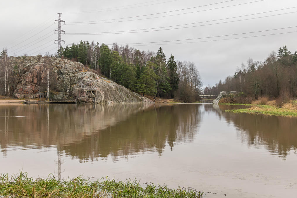
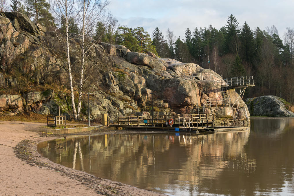
16. The next rapids on Vantaa River are called Pikkukoski, Small Rapids. After the rapids, next to a prominent huge rock called Pirunkallio (Finn. Devil's Rock), there is a swimming beach.
17. There is even a diving tower. Numerous signs warn swimmers of strong currents, but there is also a lifeguard station, so I guess that's okay. As Pirunkallio is so steep, you'll have to make a small detour around the rock itself and the nearby small forest.
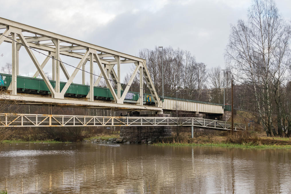
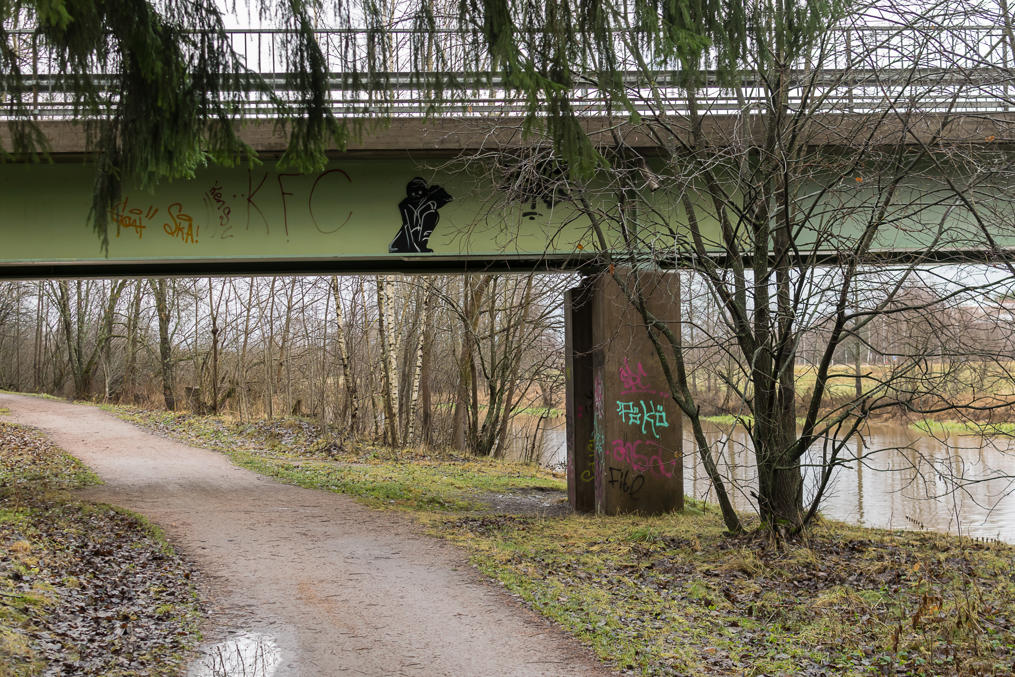
18. Various bridges over Vantaa look mostly utilitarian and not particularly notable, except this one. It carries a road, but it is very narrow, with only a single lane shared for both directions, and traffic lights on its ramps. It's so narrow it doesn't even have a sidewalk; you can see that a foot bridge was constructed and attached to it separately.
The width and the look of this bridge suggest that it was originally constructed for a railroad, and some research reveals that this indeed is true. The railroad in question was fairly old, a 8 km line constructed in the 1930s to connect Herttoniemi Oil Port (itself finished only after the war) in East Helsinki to the Finnish rail network at Oulunkylä Station. The harbor was shut down in 1992, and a residential neighborhood was built in its place. The railroad however lasted for twenty years more, as it was still used by the sole Helsinki Metro depot in Roihupelto (Finn. Fire Field) industrial area, near Itäkeskus.
In the 1990s, ideas from a light rail ring line, roughly parallel to Ring I, emerged. Due to budget constraints they had to be downscaled to a mere express bus line, bus 550, also dubbed Jokeri (Finn. Joker, standing for JOukkoliikenteen KEhämäinen RunkolInja, "Mass Transit Ring Trunk Line"). The bus, which opened in 2003 and proved fairly popular, used the railroad's right-of-way on its Oulunkylä-Viikki leg. That was a very convenient arrangement; the metro connection was used very rarely, and it was converted to a street running track (see a photo in Wikipedia). The new road was dubbed Maaherrantie, "Governor Road", as it continued an existing short Maaherrantie Road in Oulunkylä. Thanks to the narrow bridges, it was obviously off-limit to all traffic other than buses, and allowed the buses from Oulunkylä to bypass any traffic jams and emerge right in the middle of Viikki neighborhood. (Of course the rest of the route of Jokeri Bus did not enjoy such luxury.)
In 2012 Helsinki Metro gained a new connection to the rail network in Vuosaari, in the easternmost outskirts of Helsinki. A new seaport was opened in Vuosaari in 2008, essentially replacing all the existing cargo harbors in Central Helsinki; a new railroad to that seaport was constructed as well, and, as a metro station already existed in Vuosaari, only 1.4 km more of rail was needed to make a new connection.
Thus the old line from Oulunkylä was no longer necessary; I think it was demolished and it exists now only as Maaherrantie Road. Jokeri Bus now can operate freely, and in June 2016, the project to convert it into a light rail line was approved at last*. It is expected to cost €275 million, and it should be finished by 2021. The line should look like this when finished (the current Jokeri Bus route is very similar with some minor deviations).
* Why did they remove the tracks if the plans for a light rail line already existed? That had to be done anyway; the old rail line used the normal Finnish 1524 mm gauge, and the light rail line will use the same 1000 mm gauge as Helsinki tram system does.
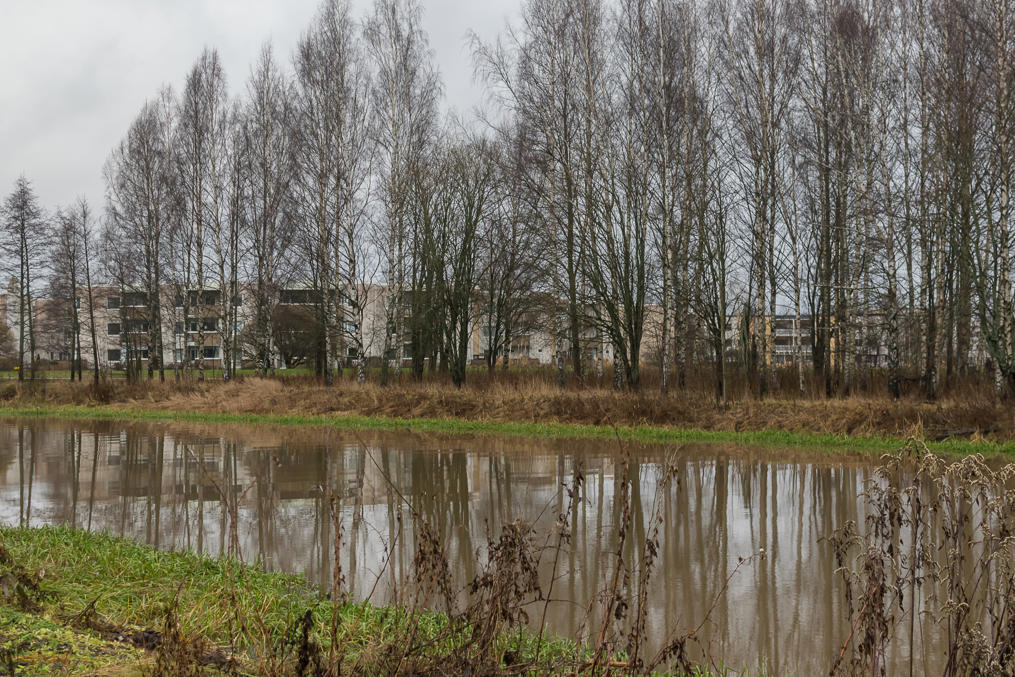
19. Walking on. The river now looks less romantic as it did at Pikkukoski. The neighborhood visible on the other side is Savela.
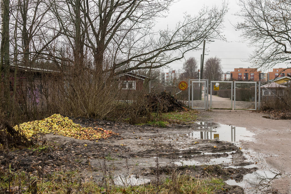
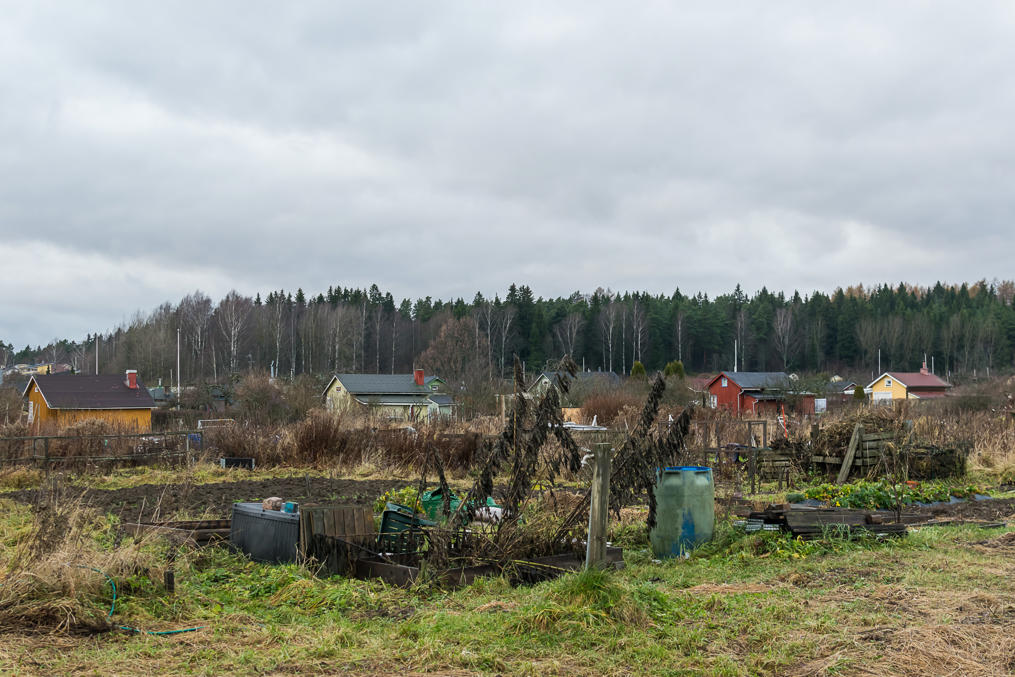
20. And here, with some surprise, I saw something greatly resembling a typical Russian dacha community. Some tiny houses, with fairly ugly-looking vegetable patches, with poor dirt roads and surrounded with a tall fence. Exactly like in Russia! Well the houses are still a bit nicer. There was even a pile of apples in the garbage outside.
It turns out, Finland does have allotment gardens (siirtolapuutarha), which are actually fairly similar in principle and purpose to Russian dachas. This one is Oulunkylä Allotment Garden, for example. These aren't very popular; there are only about 50 of them in the entire country (there must be dozens of dacha communities around every Russian city, even a relatively small one), and about 5000 allotment gardeners. I guess they only make sense if you are a city dweller and unwilling to move into a private house, but you still really really want to grow your own veggies. Still, I was suprised by how nasty they look. If there are some really ugly places in Finland, those would be allotment gardens.
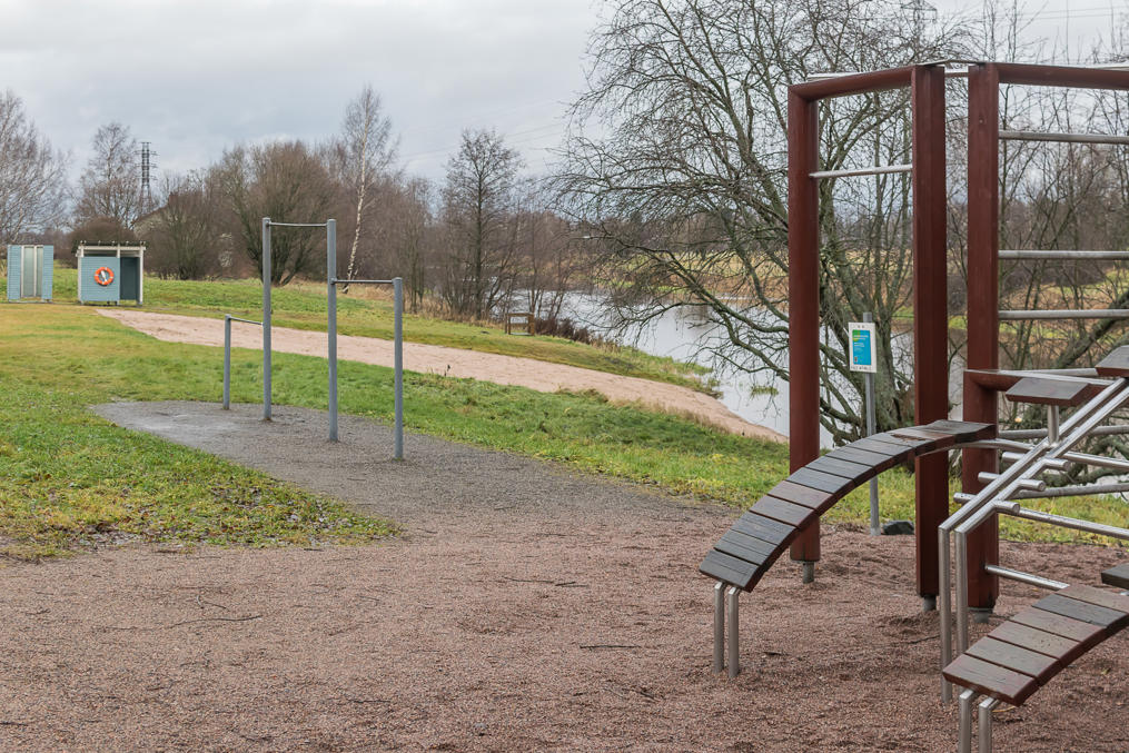
21. On a more positive note, there are a few small artificial beaches on the shores of Vantaa River, complete with exercise equipment. It doesn't seem like you could actually swim there, but then, I know nothing about swimming.
22.
23. Here's the second allotment garden I saw, at Pakila. Plots without a house are 100% indistinguishable from Russia.
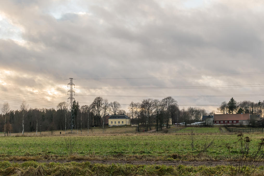
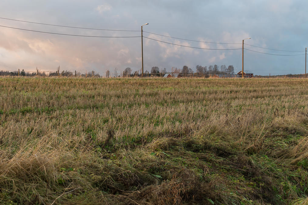
24. After Pakila neighborhood, the western shore is occupied by farmland for many kilometers.
25. As the sign on the Old Tuusula Road (Vanha Tuusulantie) suggests, we're now on the boundary of Helsinki Proper. Everything on the other shore of Vantaa River, starting from Kerava River mouth, belongs to Vantaa municipality.
26. And the first Vantaa buildings we see on the other shore belong to Tammisto neighborhood. "Tammisto" means something related to oaks; a fine name, but the Swedish name of that neighborhood is even prettier, Rosendal (Rose Valley).
27. We're still walking, but very soon we'll leave Vantaa River at last.
28. Farmland looks kind of nice at sunset.
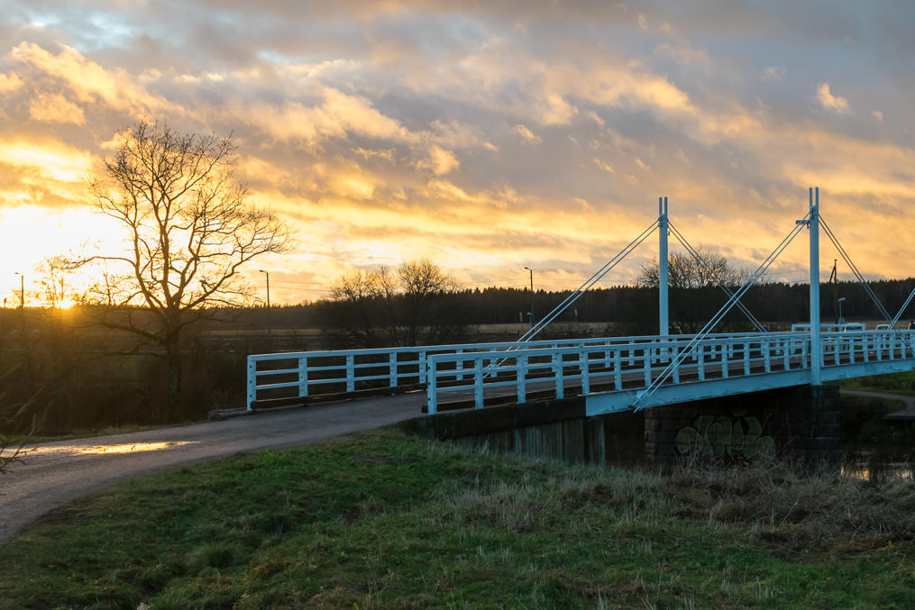
29. We're crossing Vantaa River for the last time on Haltiala Bridge near Haltiala Manor, a museum manor near Vantaa River bend. The word "Haltia" means a sort of protector spirit in old Finnish mythology, although it is also used to refer to Tolkien-style elves. You can visit Haltiala Manor and see some cows and pigs and the like, but I don't think they have any actual elves.
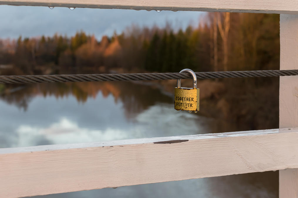
30. The Finns are so romantic.
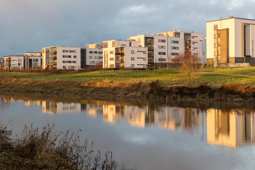
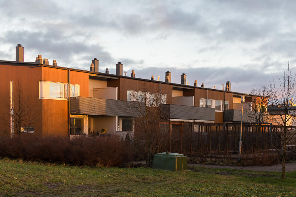
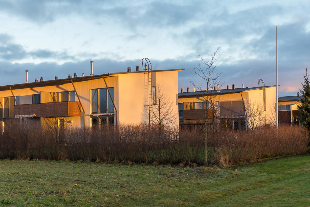
31. And a few pictures of row houses at Tammisto at sunset. This seems a very nice neighborhood.
32.
33.
34. The hotel that I had booked was located in the next neighborhood, Kartanonkoski. In the last post, I will tell about Kartanonkoski, and the things I saw on the following day — mainly, Kerava River and Tikkurila neighborhood.
