The town of Hamina, located in about 35 km from the Russian border, has population of only about 21,000 (10,000 if you discount suburbs and villages), but as far as smallish Finnish towns go, it is a very cool one, thanks to its unusual city plan. Hamina is a fortress town, with fortress-like octagonal planning and surrounding bastions and ramparts still preserved to this day.
The place which later became Hamina was historically known as Vehkalahti (Finn. Calla Bay, after a flower), and indeed Vehkalahti Municipality with a calla flower on its coat of arms still existed near Hamina up until their merger in 2003. Villages in Vehkalahti existed since the Middle Ages, and in 1653 Vehkalahti kirkonkylä (church village) was promoted to a town, unimaginatively named Vehkalahden Uusikaupunki (Finn. Vehkalahti New Town; not to be confused with a city named simply Uusikaupunki, to the north of Turku). 1653 is thus considered the year of Hamina founding, which makes Hamina the oldest Kymenlaakso city.
Vehkalahden Uusikaupunki was a fairly insignificant town up until the Great Northern War of 1700-1721. The town got burned down to the ground in 1712, but after the war it became a border town, and thus got rebuilt as a fortress. It was renamed into Fredrikshamn (Swed. Frederick Harbor) in 1723, after King Frederick I of Sweden, who succeeded warmongering Charles XII. Fredrikshamn remains the official Swedish name of the city, but in Finnish it became known as simply Hamina, “the harbor”.
Fredrikshamn was redesigned by Duke Axel Löwen, a notable Swedish military commander and fortifications engineer. It became a star-shaped fortress, with an octagonal city core among sharp bastions; a fairly rare design for a full-fledged city. Apart from the military significance, Fredrikshamn became an important seaport for border trade with Russia — a role which had been fulfilled by Vyborg before. (The new border of 1721 in Southeastern Finland approximately matched the modern post-WWII border, leaving Virolahti and Lappeenranta to Swedish Finland, and Vyborg and Kexholm to Russia.)
Still, Fredrikshamn didn’t last too long in that role too. In the next Russo-Swedish war of 1741-1743 (known as Hat’s War in Finland, as also as Lesser Wrath, as opposed to the Greater Wrath of 1700-1721) Russia ended up annexing another chunk of Finland, including Savonlinna, Lappeenranta (Vilmanstrand), and Fredrikshamn. Together with Vyborg and Kexholm, this area became known as Old Finland. The role of the next border town passed on to Loviisa, which also became the new home for most Fredrikshamn Swedes.
As we all know Loviisa and its fortress of Svartholm eventually also proved unsuccessful in repelling Russia, and by 1809 Russia annexed Finland entirely. The peacy treaty confirming this was signed right here in Fredrikshamn. Old Finland was rejoined to the rest of Finland, and in effect ended up having greater autonomy than in the 18th century.
By the second half of the 19th century, Hamina was somewhat overshadowed by its neighboring city of Kotka, growing on the site of former Russian Ruotsinsalmi fortress, destroyed by the British in the Crimean War. Modern Kotka and Hamina, spaced just 25 km apart, are highly integrated together. Hamina-Kotka seaport is the most important seaport of all Finland, although a large share of its imports was transit cargo for Russia, which is on a severe decline due both to the Russian economic crisis, and to the delopment of Russia’s own seaports in the vicinity of St. Petersburg. The seaport is probably the most important Hamina enterprise; another major one was a Stora Enso paper mill in the suburb of Summa, which shut down in 2008. The old factory was then bought by none other than Google, which established a large modern data center in its industrial buildings. It seems this data center is physically the closest one to St. Petersburg, and I wonder if it means that whenever I Google something, the request goes to Hamina servers. It’s probably more complicated than that.
As one more random note, Hamina coat of arms is extremely similar to the Helsinki one. Both picture a wooden boat floating on the waves, with a king’s crown above. Apparently the crown in the Helsinki coat of arms is styled like Gustav Vasa’s crown, and the Hamina one is more like the crown of Frederick I. In other words both are Swedish crowns which match the era when the corresponding city was established.
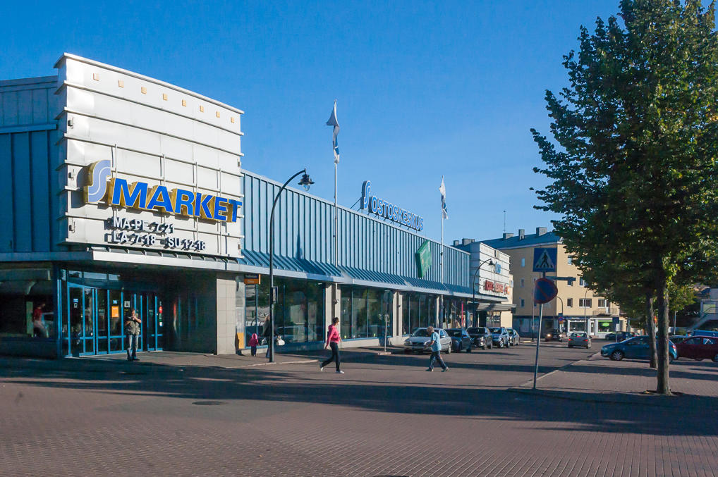
I drove to Hamina after exploring the Salpa Line Museum and taking the museum King’s Road through Virolahti. I left my car at a parking lot at the market square. (How do you distinguish a small Finnish city from a medium-sized Finnish city? The small one doesn’t have tolled parking.) Apart from this square, with elderly Finns walking out of the supermarkets with grocery bags, teenagers hanging around, and peaceful drunks, well, being peaceful drunks, the rest of the city was extremely quiet and seemed almost deserted in a beautiful sunny Saturday evening. I had a nice long walk around the entire town (which took me all of two hours) and enjoyed it to a degree unusual even for me, with my well-known love for Finland.
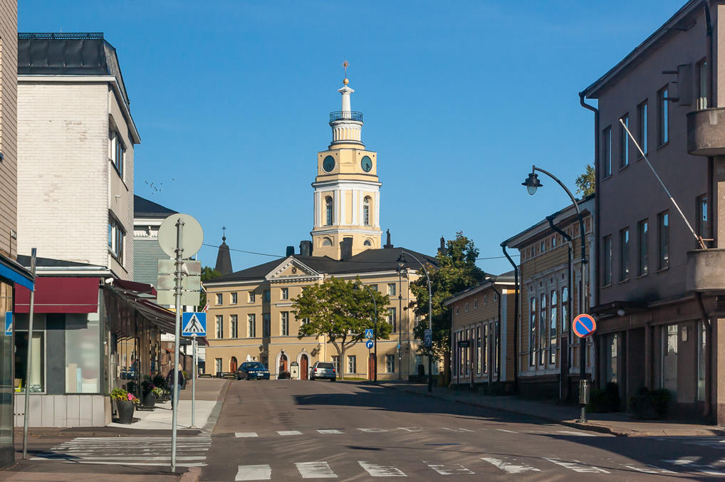
1. The market square borders the octagonal core of the town, which consists of two ring streets, eight radial streets, and a round square with the old city hall (1798) right in the middle of it all. I think the actual city administration is now located elsewhere.
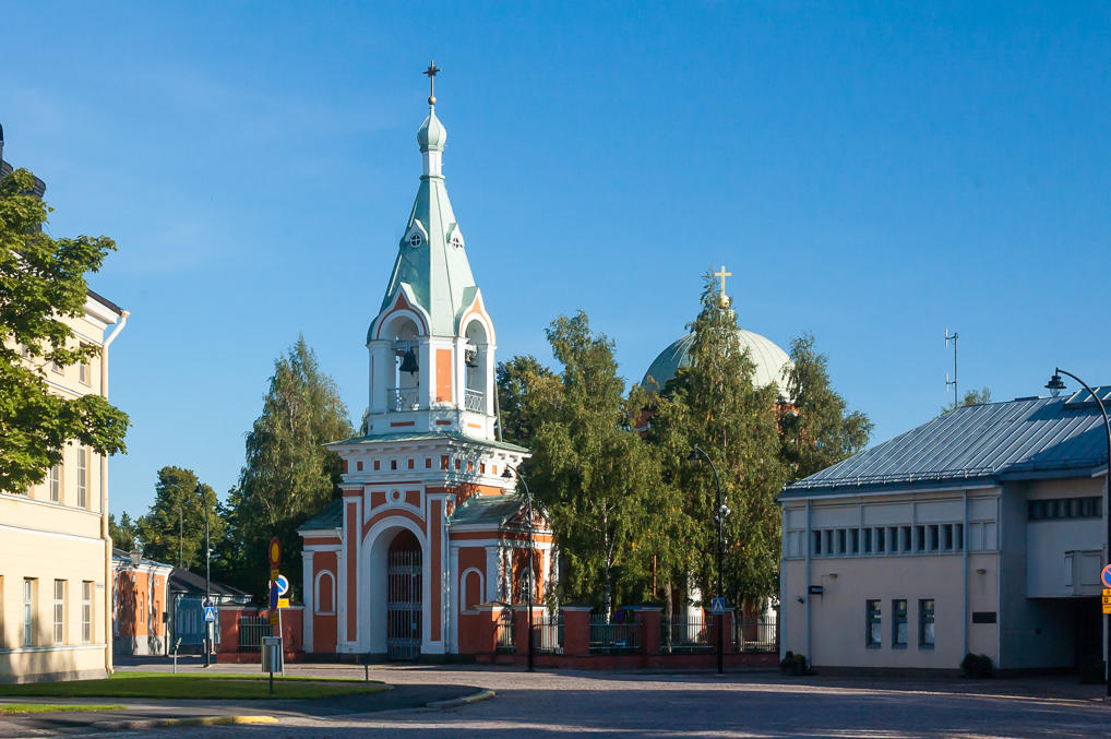
2. Orthodox Church of St. Peter and St. Paul (1837) on the central square looks very Russian in style. It would not look the tiniest bit out of place in any random minor Russian town.
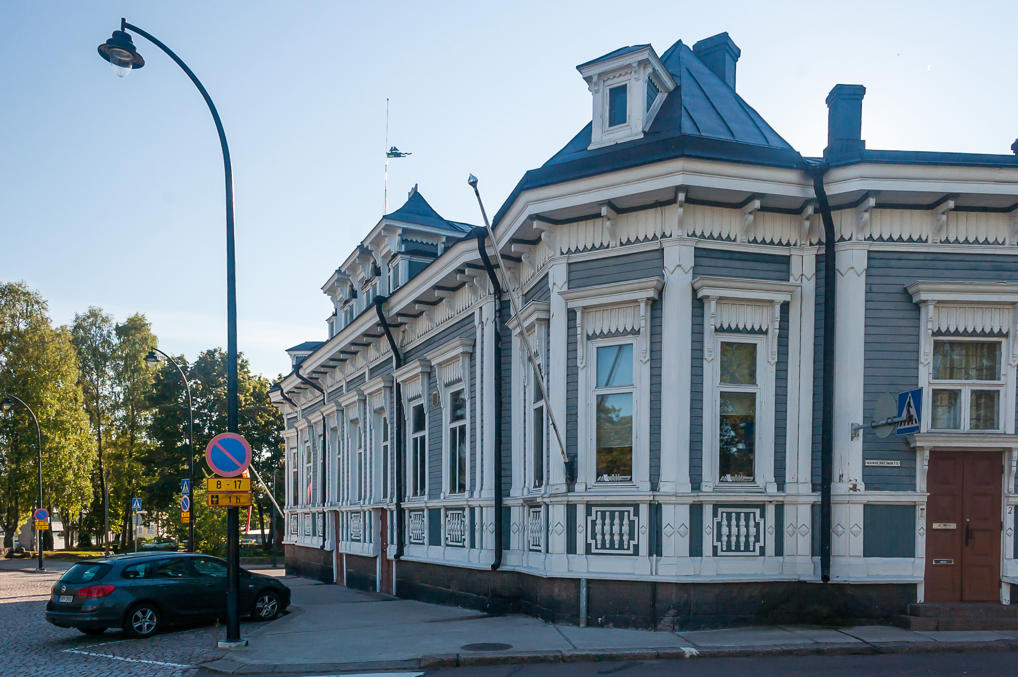
3. A pretty wooden building on the same square, I’m not sure about its purpose. The square by the way is called Raatihuoneentori (Finn. literally City Hall Square).
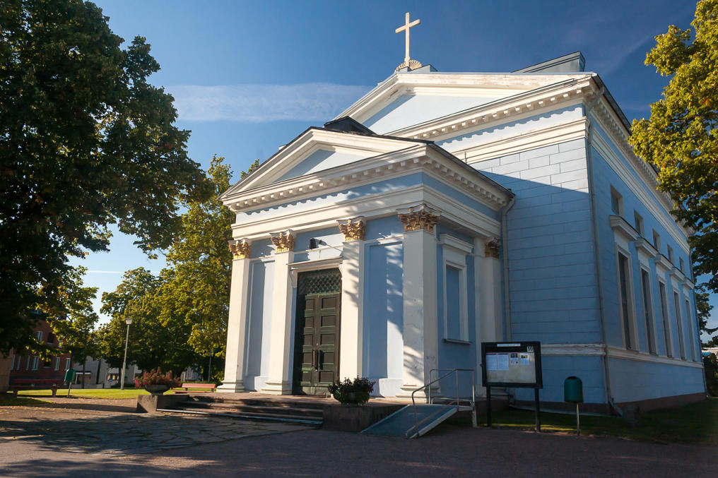
4. And yet another building at Raatihuoneentori, St. John’s Church (1843). It is an ordinary Finnish Lutheran church, but it actually looks kind of Russian in style too. It lacks a dome of course, but then there are some old Russian churches which had their domes dismantled in Soviet years.
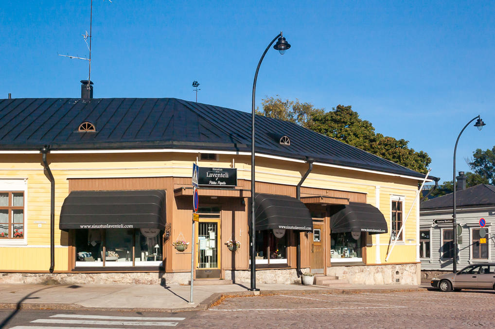
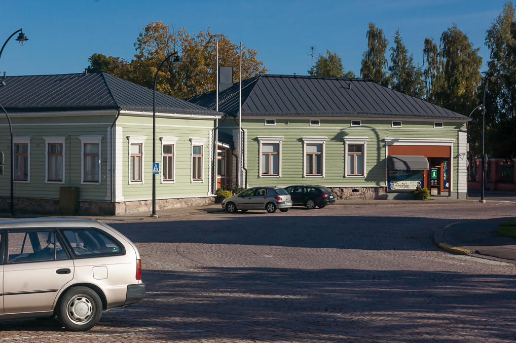
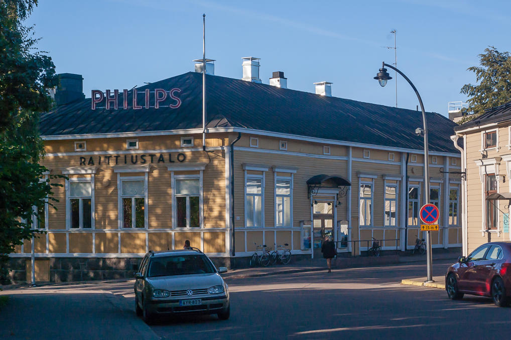
5. Some family shops.
6.
7. One of the ring streets. The old octagonal city center is fairly small, probably just about half a kilometer across.
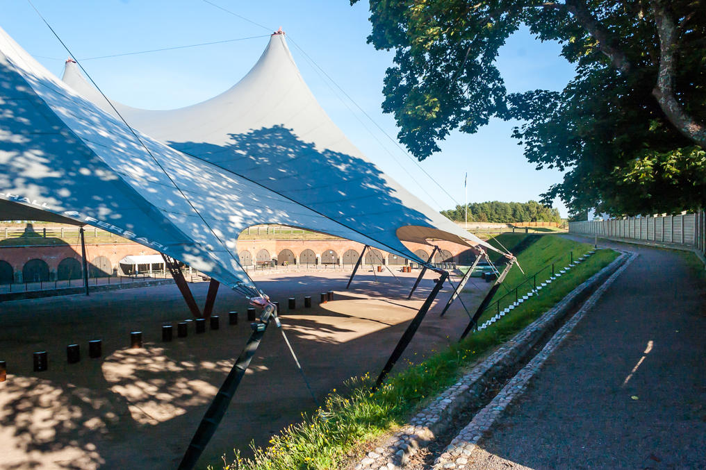
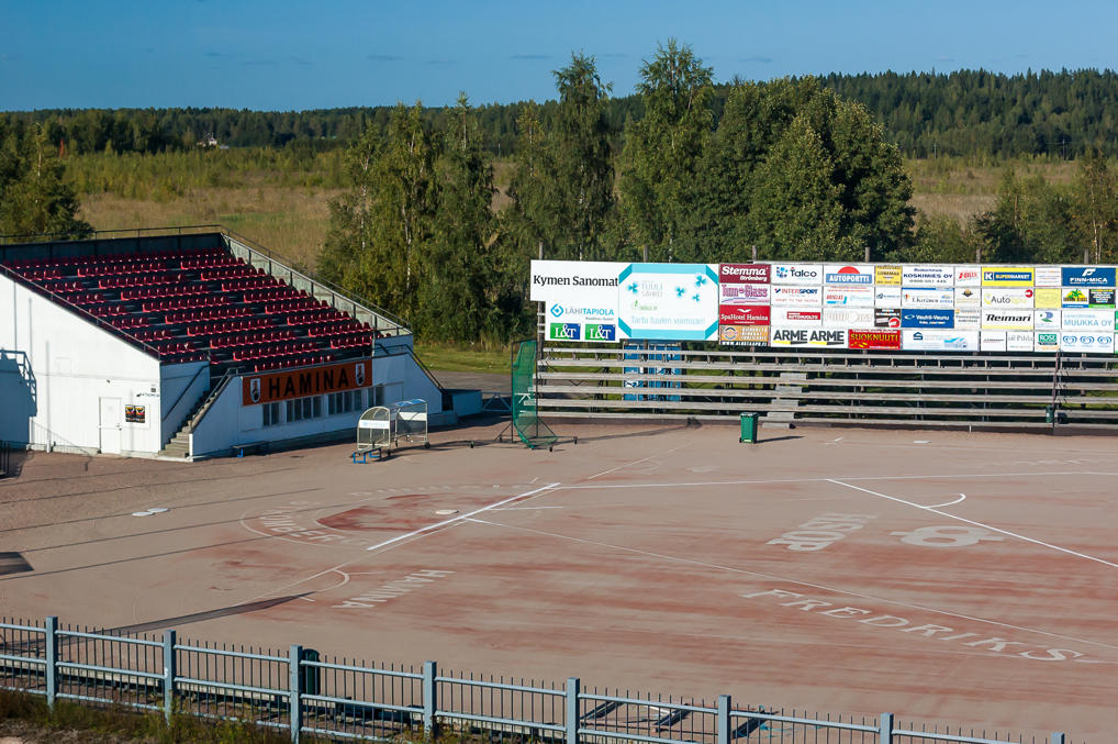
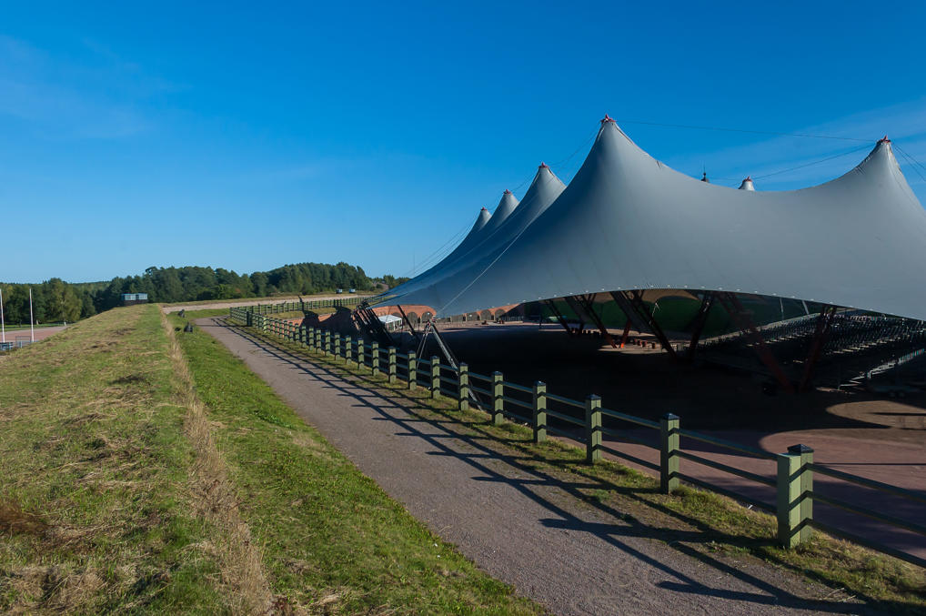
8. And just beyond the octagonal built-up area are old bastions of the Hamina Fortress: high triangle-shaped earth ramparts. There are six of them, named after Finnish cities. This is the largest one, the Hamina Bastion; it replaced an older part of the fortress in the 19th century to protect it from the north. Helsinki Bastion to the south of the fortress didn’t survive to this day at all; the market square now more or less takes it place. The huge Hamina Bastion however has been preserved, and turned into a concert venue, covered with an enormous tent.
It is of course quite notable by itself that a 20,000-large town actually has built such a huge arena. It doesn’t get many world stars, of course, but still there were for example Scorpions, in July 2015. The bastion is also used as the main venue for the yearly Hamina Tattoo festival, devoted to military music. Note also the rows of doors leading inside of the rampart. I believe there are some cafeterias and the like there in summer.
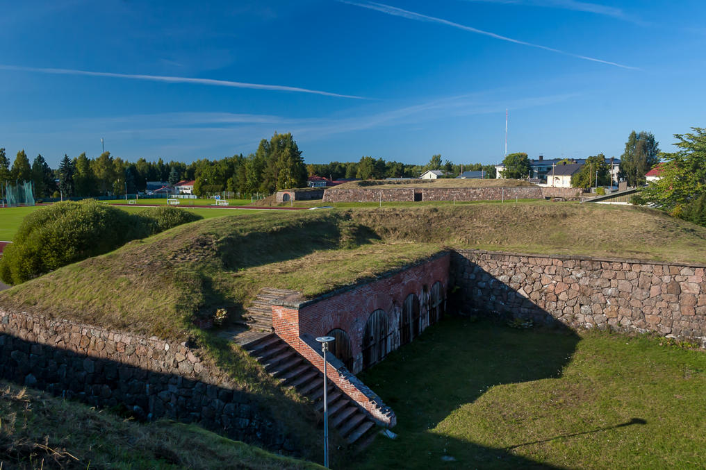
9. I walked the length of the rampart, enjoying evening sun and quiet. There was literally no one in sight.
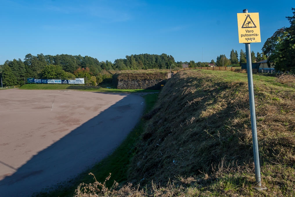
10. Beyond the ramparts are some sports fields, and that’s all; the city ends here. Farther to the north is a large swamp; actually the overgrown Kirkkojärvi lake. Hamina stretches much more in other directions, transitioning into typical Finnish suburbia.
11.
12. Star fort type fortifications are usually fairly unimpressive-looking. Medieval fortresses look much cooler (they are what we imagine when we think about fortresses and castles), but they ended up faring poorly against cannons. Finland has only a few medieval castles, but quite a lot of 16th-18th era fortresses, which shows that the country fully developed much later that Sweden or continental powers. Still, Hamina fortress is among the more visually interesting ones. Apart from the ring of bastions, it also has some detached ravelins.
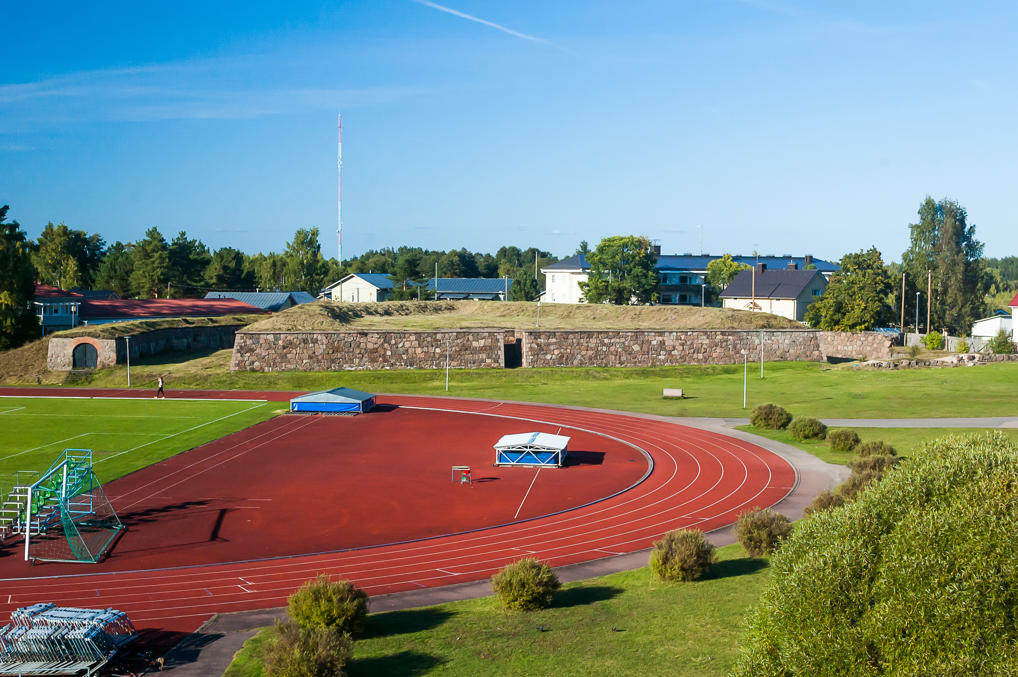
13. Football field between a bastion and a ravelin. A lone girl walks on the running tracks.
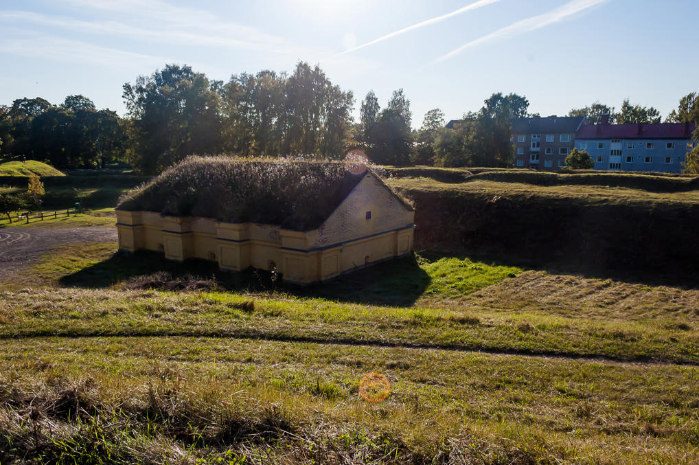
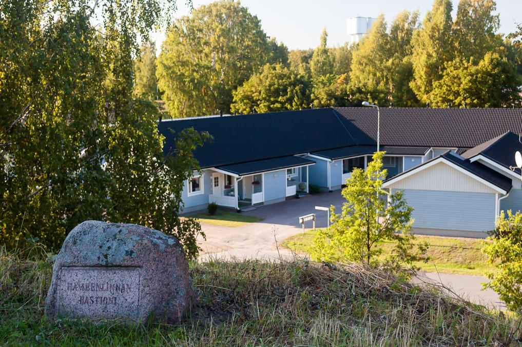
14. The smaller bastion to the west of Hamina Bastion is named after Hämeenlinna. There is a gunpowder cellar in the middle of it. It serves as an art gallery.
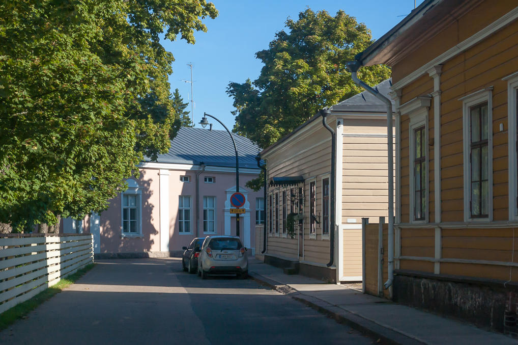
15. Cozy houses beyond the bastion.
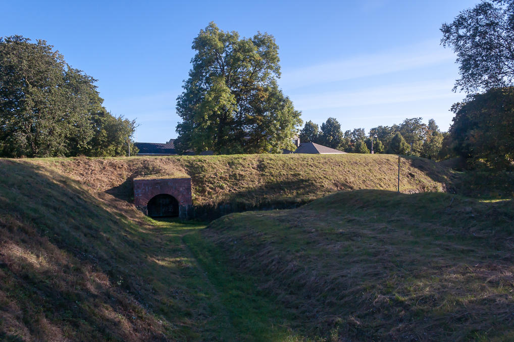
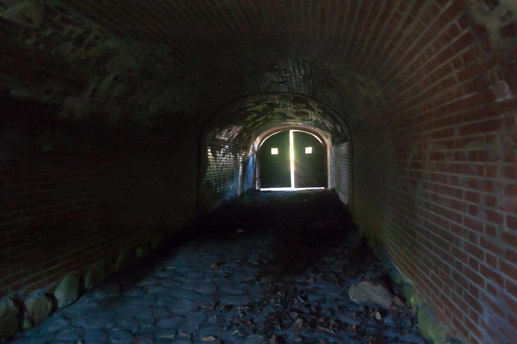
16. You can actually walk under the rampart through the unlocked gate.
17. The corridor is fairly clean as far as such places go. It doesn’t even stink of piss.
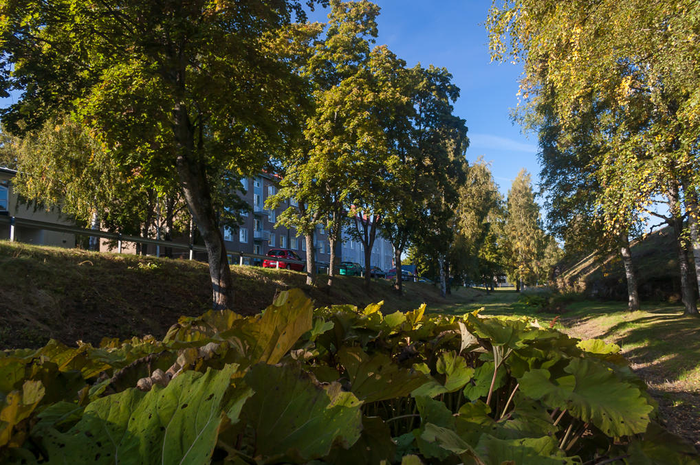
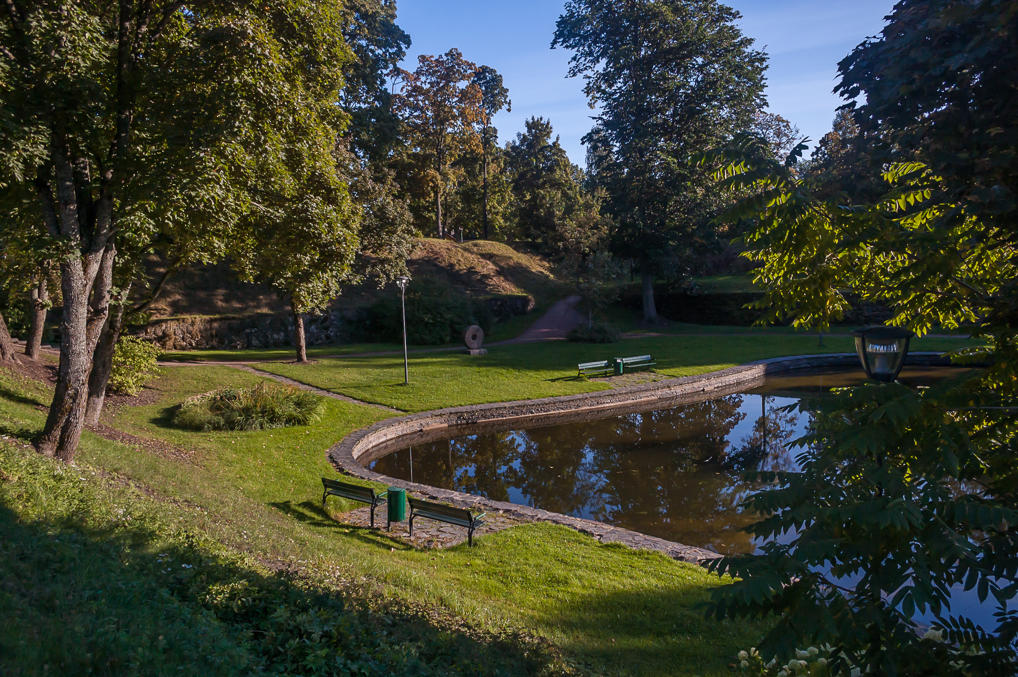
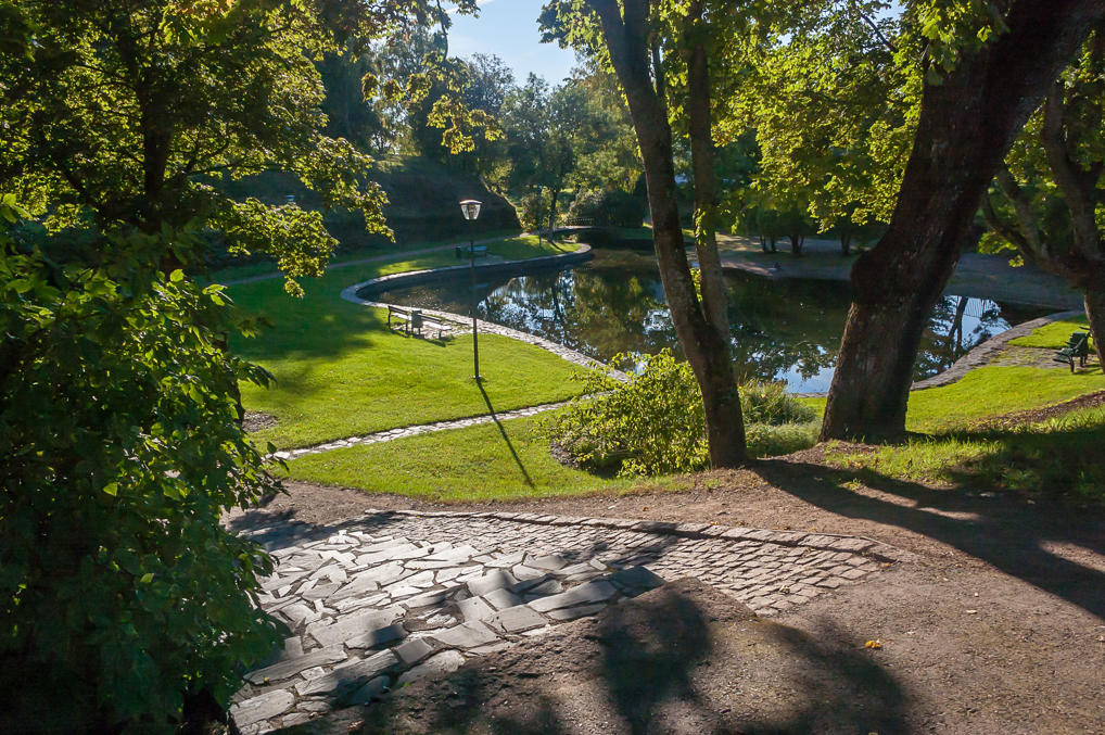
18. The next bastion, Lappeenranta Bastion I think, was turned into a lush city park. The rampart itself is dwarfed by the trees. This is the last bastion of the three open to the public; the other three (named after Turku, Savonlinna, and Hamina; the latter one shares its name with the newer large bastion we have seen before) are a restricted military area, but we’ll see a bit of them later.
19. There is a nice small pond in the park. The bastion wall is visible in the background.
20.
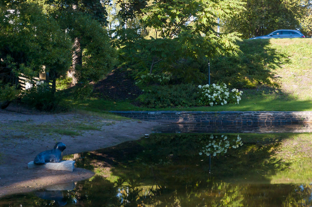
21. There is a small statue of a seal next to the pond.
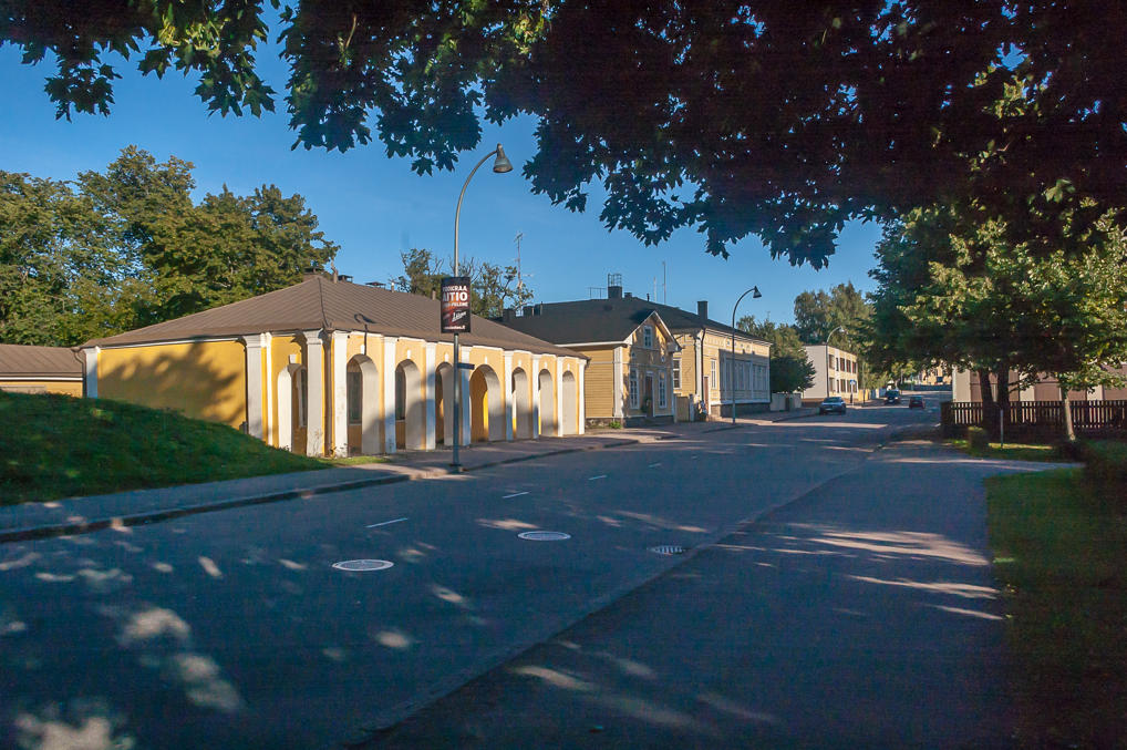
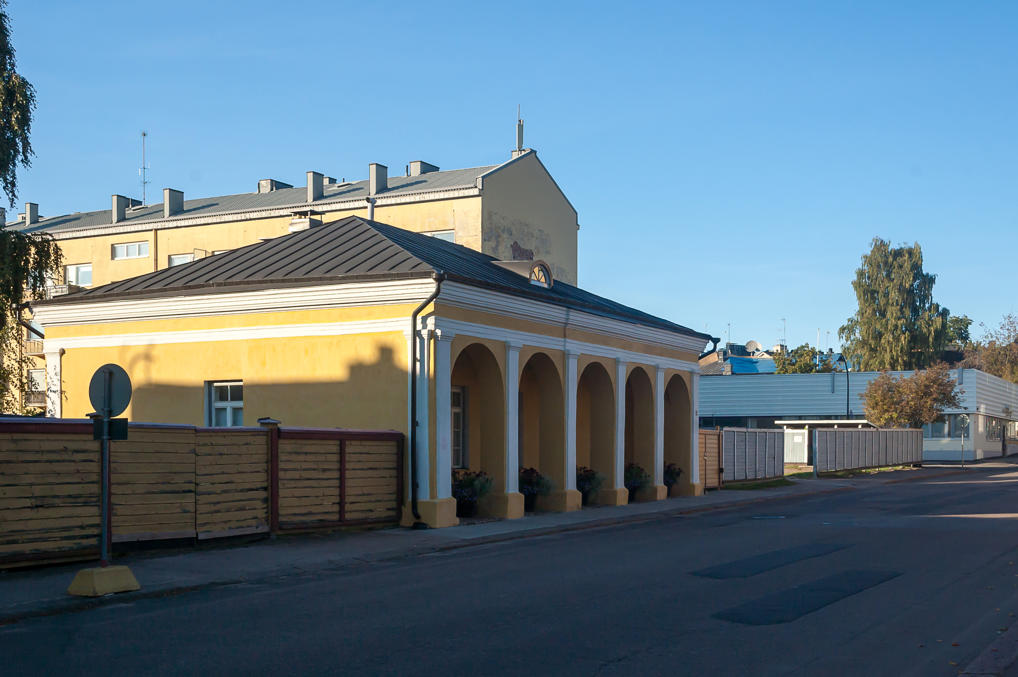
22. An old guardhouse at the road to the west. It reminds me a lot of old post houses on the St. Petersburg — Narva road, still more or less preserved in villages along the way.
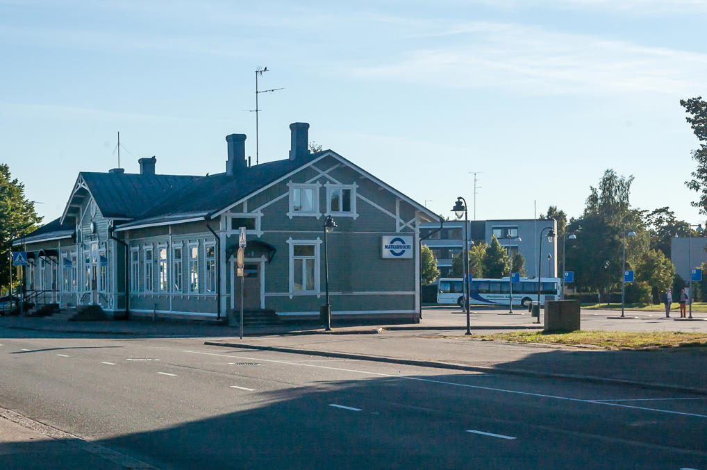
23. Hamina bus station. The large wooden building used to be a railway station as well; old Inkeroinen-Hamina line, built in 1899, led past this station to old Hamina port at Tervasaari. The port eventually moved from Tervasaari to a much larger peninsula to the west of the city, handling all kinds of cargo there. The old railroad was dismantled and replaced by a new Juurikorpi-Hamina Harbor line in 1984, and passenger service was terminated.
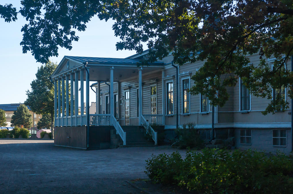
24. The Park House (1884), a beautiful wooden house next to the park. Originally a hotel, it is now used by a music school.
25. Another wooden building nearby is a Sobriety House. Sobriety Association was a thing back in the 19th century (or maybe it still is?). The building is now used by a theater.
26. Back on the market square. A supermarket of the ubiquitous S-Market chain looks a bit out of place after the wooden buildings.
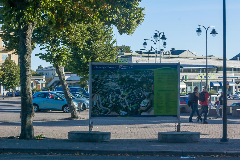
27. The octagonal plan of Hamina is clearly visible in the picture on an information board. I also like the logo they came up with for Russian tourists; Hamina is spelled Хамина in Russian, and they turned the Х letter into a heart. Too bad that doesn’t work with H letter in Finnish/English.
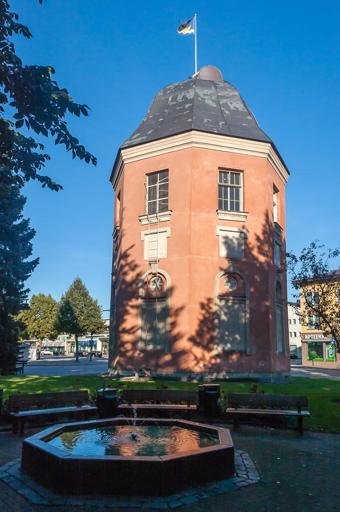
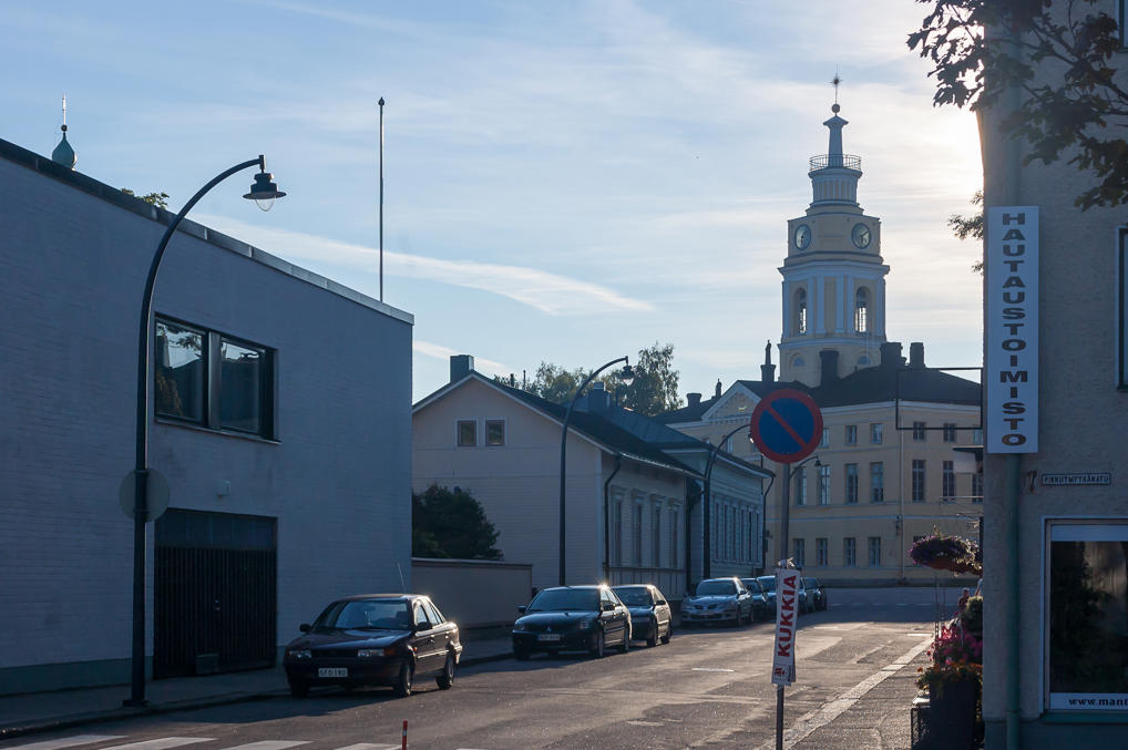
28. Let’s go to another side of the city. Close to the market square is the Flag Tower (Lipputorni; 1790), at the location of the former Helsinki Bastion. For some reason I was certain that the Peace Treaty of Fredrikshamn of 1809 was signed in this very tower (maybe I read that somewhere?), and I was surprised and a bit disappointed when I failed to find any sign mentioning that. It turns out the treaty was actually signed in the governor’s house, which was eventually dismantled and replaced by the St. John’s Church; and there is indeed a small memorial here, which I never noticed.
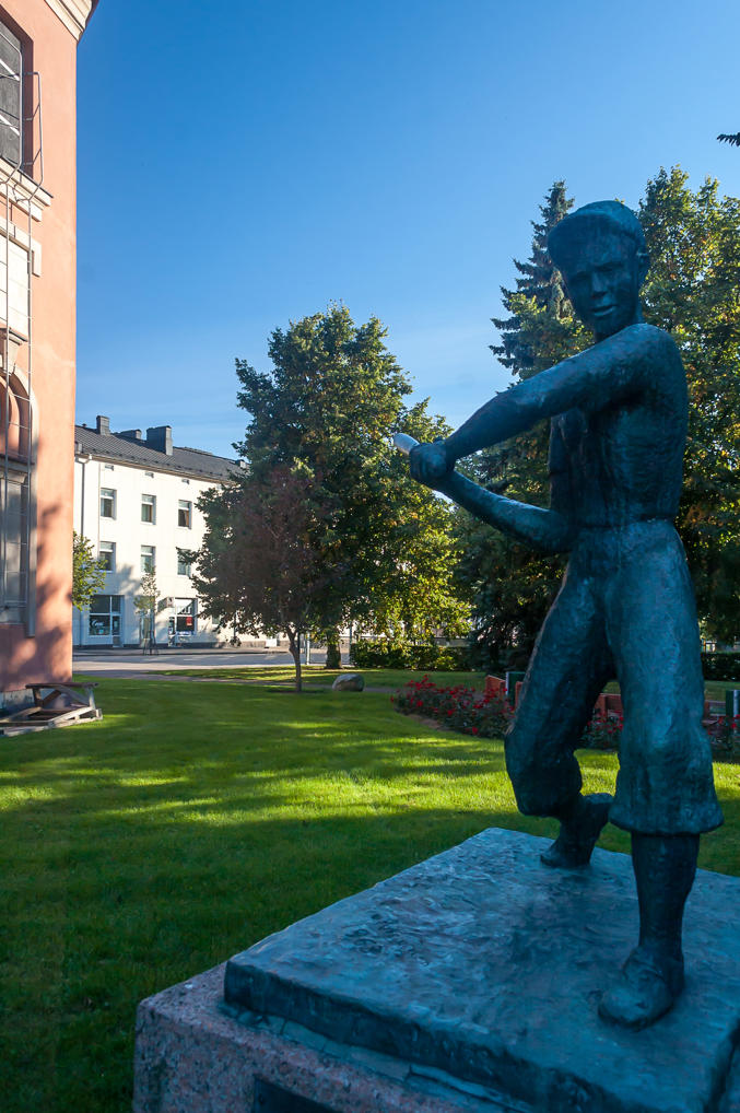
29. Next to the Flag Tower is a statue of a boy apparently playing baseball. Actually it is not American baseball, but rather pesäpallo, an obscure game endemic to Finland. Pesäpallo is indeed inspired by baseball, but it is simplified and made more dynamic.
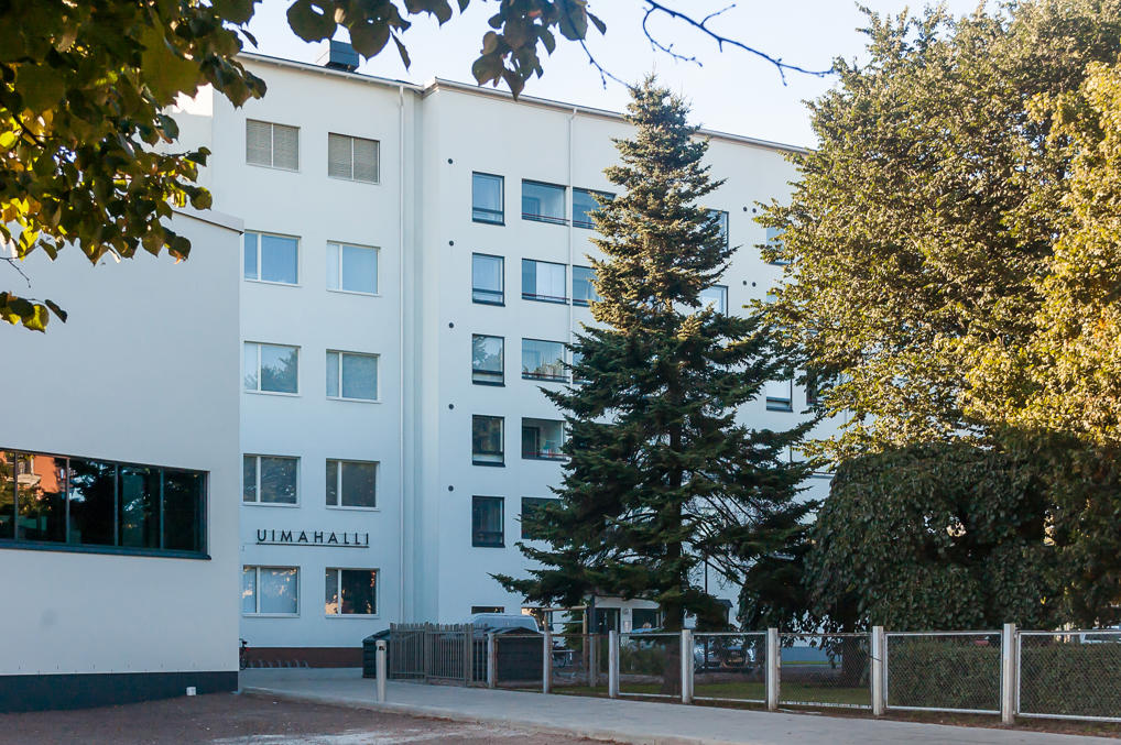
30. Large apartment blocks are relatively rare in Hamina. This is one of the newer ones, with an indoor swimming pool.
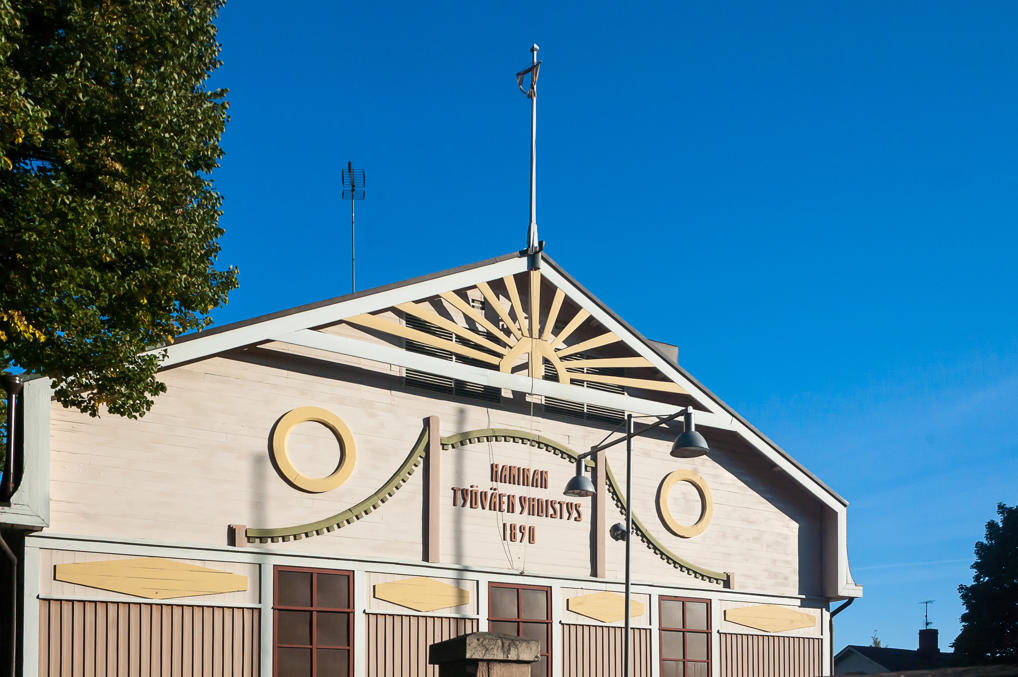
31. Labor Union House. Notice the octagon motive on the pediment. The Hamina octagon is also used in logos of some of the local businesses.
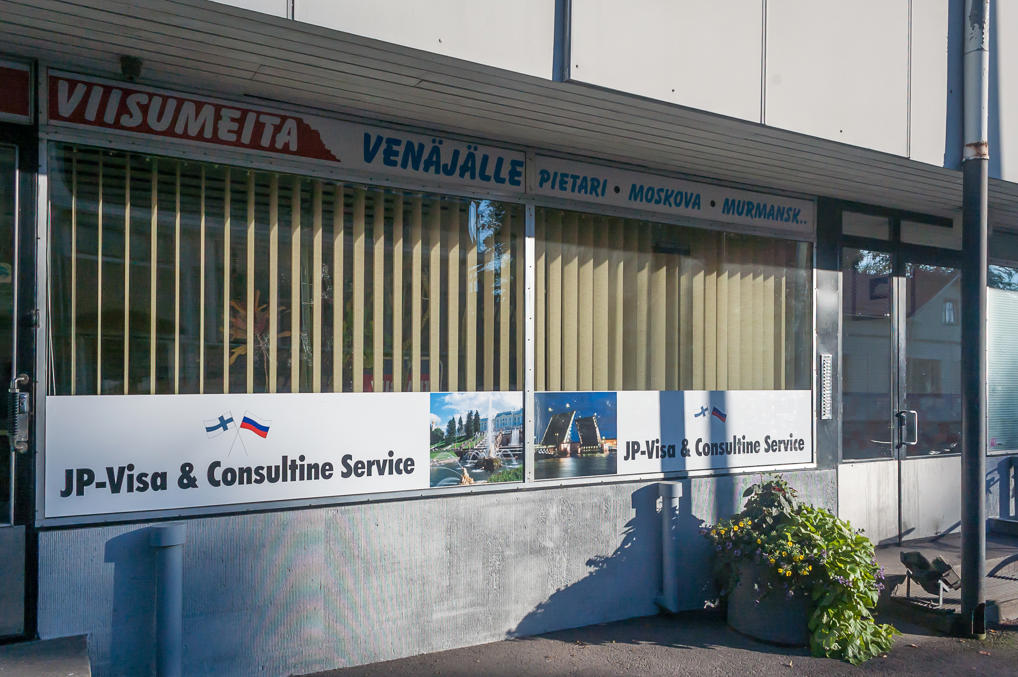
32. An advertisement for Russian visas.
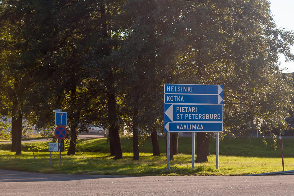
33. Hamina motorway bypass was finished only in 2014. It is a fairly short section of National Road 7, but it includes four interchanges, two tunnels, and various bridges. Before 2014 Road 7 passed through the built-up part of Hamina as an ordinary trunk street, forming the southern border of Hamina center. The old road has been reclassified into Regional Road 170, joining the rest of old non-motorway sections of Road 7.
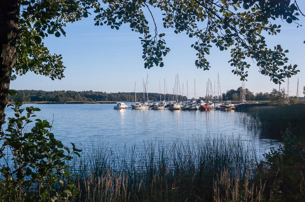
34. Despite the proximity of the sea and the very name of the city, Hamina (unlike Kotka) is one of those cities where you are actually rather unlikely to get a glimpse of the water, unless you know where exactly to go and what to look for. Personally I only managed to find this small yacht harbor, and even then I had to cross Road 170 and to walk across a large truck parking area with lots of Russian and Bulgarian semis. There is a passenger harbor at the former port at Tervasaari, with a few museum ships, and regular service to the island of Ulko-Tammio, located in just a few kilometers from Russian waters. Ulko-Tammio is a part of the Gulf of Finland National Park, which includes a range of beautiful small islands and skerries in the vicinity of Kotka and Hamina. Most of these islands can only be reached by a private boat.
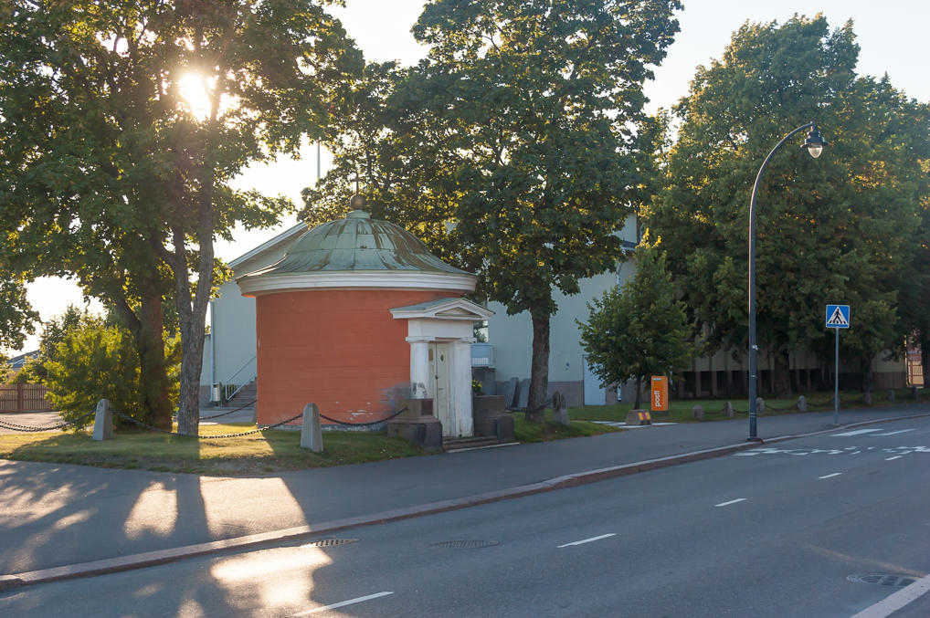
35. Back in central Hamina. Another old guardhouse.
36. The eastern part of the city, including three of the old bastions, is occupied by the military, including, most importantly, the Reserve Officer School (Reserviupseerikoulu, RUK). The School, founded in 1920, is an important part of Finnish Defence Forces. Finland has mandatory conscription for all males (and volunteer service for females; 12 month long non-military service can also be chosen instead, but this is relatively uncommon), which normally lasts 6-12 months (more if the conscript ends up in a role demanding more training and skills). After some weeks of basic training, some conscripts are selected to be trained as NCOs, and after some NCO training, some of these conscripts are further selected and sent to this Reserve Officer School in Hamina. Here they study for 3.5 months, and then return back to their original units as commanders. The overall service for reserve officers always lasts 12 months (347 days to be precise), and then they are discharged in the rank of second lieutenant. Reserve Officer School currently releases about 700 officers, twice a year (since universal conscription takes place twice a year).
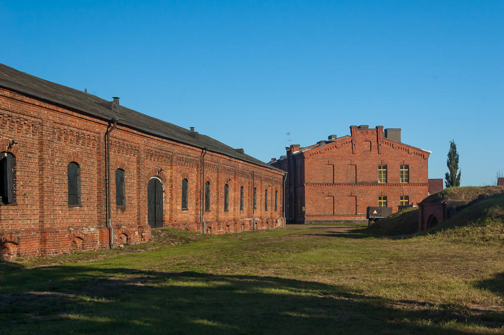
We’ll see the main building of the School a bit later, and these are just some old brick barracks on the nearby streets. Despite the fact that the school should be inactive in September (the courses start in mid-October), I actually saw quite a lot of young blond square-jawed men, wearing green uniforms, walking around Hamina. One of them was even carrying a bag of apples. Too bad I never got a chance to take a picture of them, although they were so photogenic that I actually was tempted just to ask one of them to pose for a picture (something that I have never ever done).
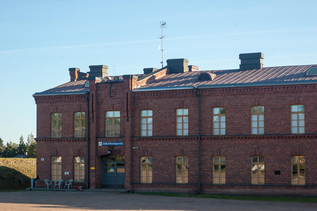
37. The sign says “infantry company”.
38.
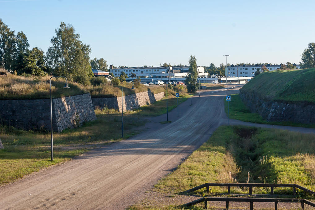
39. These bastions and the gravel road between them are also Reserve Officer School territory. Kadettikoulunkatu street (Finn. Cadet School Street) passed over them on a bridge.
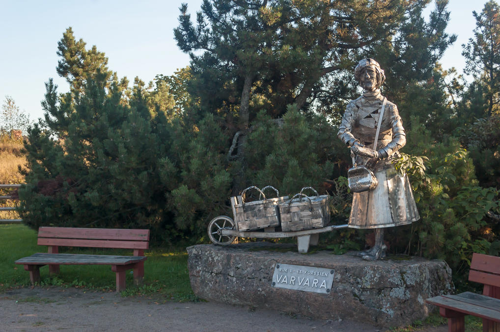
40. A very touching monument to some Varvara Schantin, a Russian babushka who sold buns to the School students for twenty years until her death in 1941. For many of them she was a sort of a mother figure, someone to trust in this town far from home. The monument was installed in 1972, and financed by the former students of the School. Apparently there is also a legend that she was a lover of Mannerheim, which is completely false and absurd.
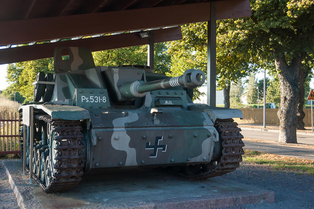
41. And this is a German StuG III assault gun, the most numerous German tank destroyer in the World War II. A total of 59 of these served in Finnish Armoured Division in 1943-1944. They were given female names, and this one, Aili, in particular was quite successful, with seven confirmed kills against Soviet T-34s in the Battle of Tali-Ihantala in June-July 1944 (for some reason there are only five stripes on the barrel though). The battle was a bloody one; the Finnish managed to stop Soviet counteroffensive near Vyborg, thus preventing the Sovets from advancing into Finland. Peace talks soon followed. The Finnish generally believe that the battles of Tali-Ihantala and of Ilomantsi were what allowed them to keep their independence and prevent more territorial losses in the final stages of the World War II.
Note the swastika. The information board to the left, instead of telling about the assault gun itself, goes to great lengths to assure that the Nazi swastika is the bad one, and the Finnish swastika is absolutely completely positively in no way related to it. This is actually true. The swastika (hakaristi) was used:
- by the Air Force, starting in 1918; it was a personal symbol of Count Eric von Rosen, who donated the first ever plane to Finland, which beared a blue swastika in white circle, and Finland kept this insignia in his honor. Curiously, that Count von Rosen guy actually did end up a Nazi sympathizer later, and even became a brother-in-law to Göring. The Air Force swastika is still used to this day, in a rather goofy winged version
- by the Armoured Division, which used it only during the Continuation War of 1941-1944. I’m not sure why it was adopted
- by Lotta Svärd, a volunteer paramilitary organization for women, which adopted the swastika from the Air Force. Lotta Svärd was banned after the war by Soviet Union’s wishes
- in the Order of the Cross of Liberty, highly stylized and still used
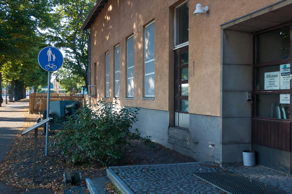
42. The assault gun along with a few more less notable guns and tanks belong to the Reserve Officer School Museum (RUK-museo), which was already closed for the winter.
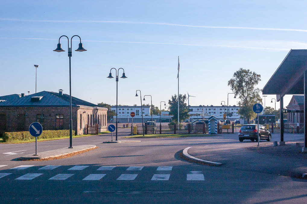
43. The main checkpoint of the military area.
44. A small Orthodox chapel by the road. Another very Russian-looking construction.
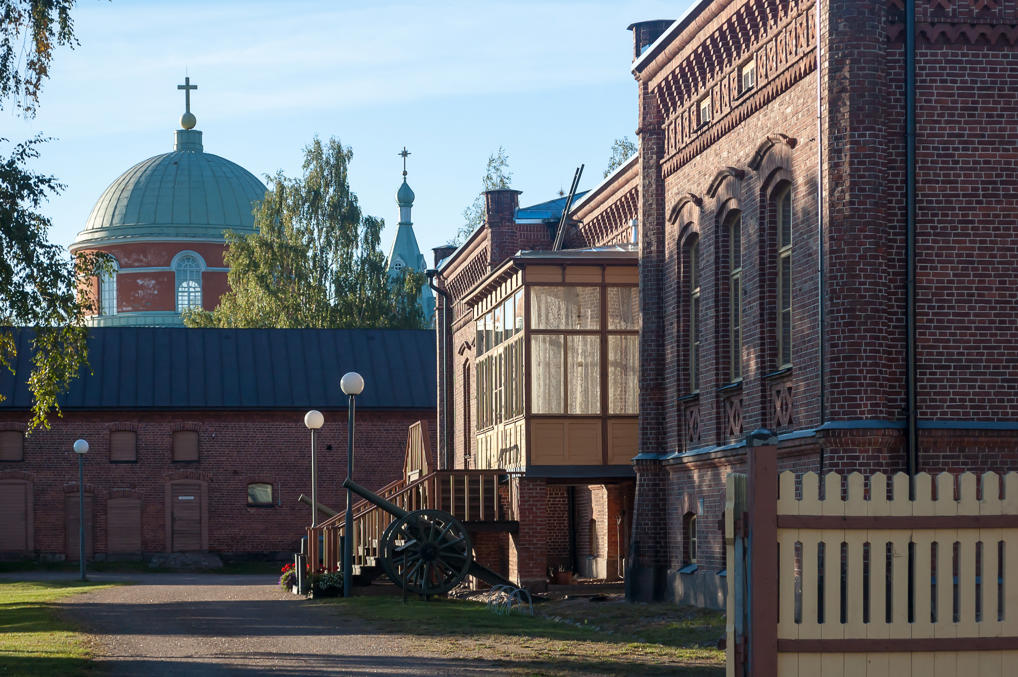
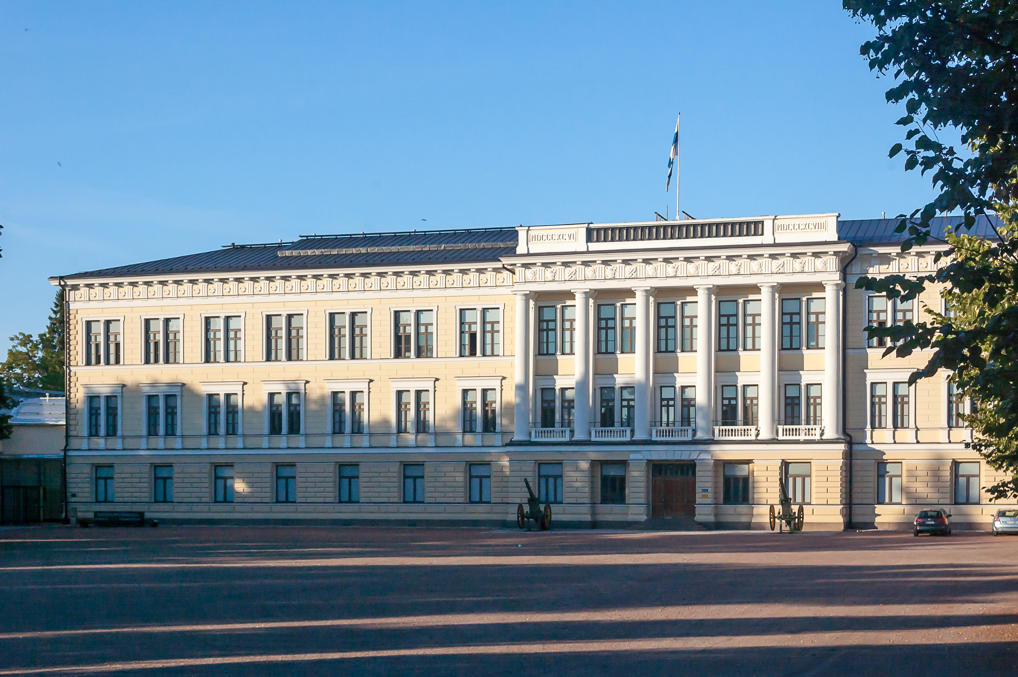
45. And a much bigger one, looking like it has just been plucked from the middle of St. Petersburg. This is the main building of the Reserve Officer School. The building was constructed in 1898 for the School’s predecessor, the Hamina Cadet School, which existed since 1820. Mannerheim himself studied here for a while, but was expelled due to a disciplinary breach in 1886. This was the reason why he continued his military career in the Russian army as a Russian White officer, and returned in Finland only after the revolution. The school itself was disbanded in 1901, just a few years after the construction of this building, as part of the Russification effort; Russia saw no need for Finland to have its own army anymore.
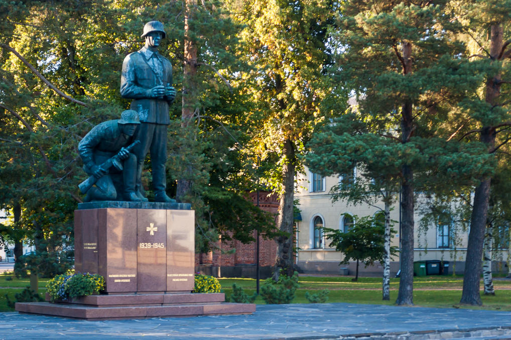
46. The war memorial next to the building. The troops, for some reason having somewhat mongoloid features, stare intensely towards the border.
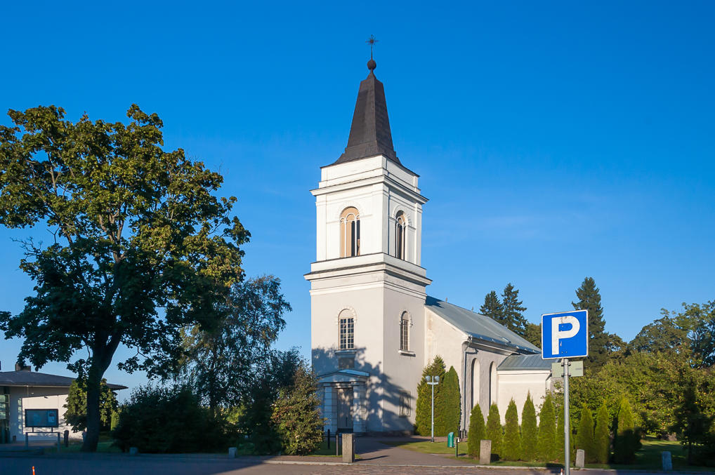
47. Back in Hamina center. The third church in central Hamina doesn’t face the City Hall, and in general looks rather plain. However this St. Mary’s Church is actually the oldest building in Hamina and in entire Kymenlaakso. It predates Hamina itself, built in the 15th century as the central church of Vehkalahti. Sadly it didn’t keep the original medieval look; the church was badly damaged by a fire in 1821, and rebuilt in 1828. The original architect of this church is unknown, remaining in history only as “Pernaja Master”; he probably was a German. He is believed to have constructed a number of churches of similar design over the 15th century: Porvoo Cathedral, Church of St. Lawrence in Vantaa (the oldest building of Greater Helsinki), Old Church in Sipoo (eastwards of Helsinki), Pernaja Church (in Loviisa), Pyhtää Church (westwards of Kotka), and this St. Mary’s Church which ended up the worst preserved one.
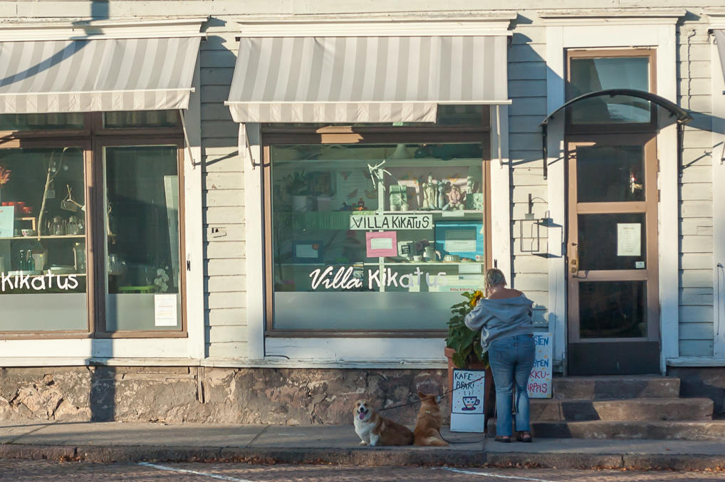
48. Finnish woman with some happy corgis.
49. And that’s all. I got back to my car, bought some food and cider in a supermarket, and drove to the nearby Pitkäthiekat Camping which I already described before. I loved Hamina; for now it remains my favorite small Finnish town. It has quite distinctive character, unlike most small Finnish towns, and it’s just the kind of town where you sometimes wish you could live when you are tired of megapolises.
The only remaining city in this trip is Kotka, which is larger, much less old and historical, but much more sea-spirited. To be continued.
