Luleå is the regional center of the Norrbotten County of Sweden, and by far the biggest Swedish city north of Umeå. Its population is 44,200 as of 2018; the population of the entire municipality is 77,800. It is located on the northwestern coast of the Bay of Bothnia, and is a relatively important transport junction; this is where the Ore Railroad (Malmbanan) across the mountains to Norway begins. I've been a bit curious to visit Luleå for quite some time, and this trip presented a good opportunity. So I dropped by.
The name "Luleå" means, quite simply, "Lule River"; Luleå is located at the mouth of the Lule river (which we'll explore further in later posts), and å means "river" in Swedish. This is a common pattern for many cities all along the Swedish coast of the Bay of Bothnia: Umeå, Skellefteå, Piteå, Luleå, Råneå, Torneå (more commonly known as Tornio, as it's now a Finnish city) and probably some more smaller ones. As Luleå is located not too far from the Finnish border (130 km by road), it also has a Finnish name, which in my opinion sounds far better: Luulaja. Curiosly, all these -å-city names were Finnicized in completely different ways; Torneå is Tornio, Råneå is Rauna, Piteå is Piitime (Piitime? really, wtf?), and Umeå is Uumaja, at least following the same pattern as in Luleå-Luulaja.
Luleå was founded in 1621 by the order of Gustav Adolf II, one of my favorite Swedish kings, the Lion of the North and the Snow King. However for a long time its growth had been hampered by the particular Swedish regulation (Bottniska handelstvånget) that forbade the cities on the Bay of Bothnia to conduct any international trade directly; they were only allowed to trade with Stockholm, and thus Stockholm merchants made big money at the expense of both Westrobothnians and Ostrobothnians. Indeed, the regulation is also the same reason why the growth of the Bothnian cities which are currently in Finland (such as Vaasa, Kokkola and Oulu, all founded in the beginning of the 17th century as well) was similarly hampered for a long time. The regulation was struck down in 1765, and it was largely the effort of Anders Chydenius, a Finnish-Swedish statesman mostly associated with Kokkola, who was an early proponent of the freedom of trade.
Even after the repeal of that regulation Luleå's growth had been fairly slow, until 1888, when the Ore Railroad from Malmberget near Gällivare to Luleå was constructed. The great treasure of the Swedish Arctic, the iron ore of Gällivare and Kiruna, was first discovered in the 18th century. But its transportation had been extremely difficult (it was literally carried on reindeer-driven sledges at first), and thus, at great effort and expense — given the harsh northern conditions — the Ore Railroad was born. Soon it was extended to Kiruna and to Narvik in Norway, across the mountains. The possibility to ship ore from Narvik somewhat lessened the importance of Luleå; Narvik is an ice-free port, and Luleå is most definitely not. Indeed, Swedish iron ore mines, the Ore Railroad and the port of Narvik had tremendous importance in the World War II; Nazi Germany occupied Norway largely to safeguard its access to Swedish ore, and Sweden, while technically neutral, never dared to object.
And yet, the Ore Railroad assured the development of Luleå in the 20th century. It is the home to a huge steel mill of the SSAB company, which consumes a large part of the iron ore from the mountains. Hydro power projects on the Lule river also made the area more important for Swedish economy. Currently LKAB, the iron ore mining company, and Vattenfall, the Swedish hydro power company, are both headquartered in Luleå. A university was established there in 1971. Recently Luleå attracted some attention as a site for a Facebook data center, chosen specifically for its northern location to save on the cooling costs.
So let's have a brief look at Luleå as well! I quite liked this city, although to be honest there aren't really any major sights in it.
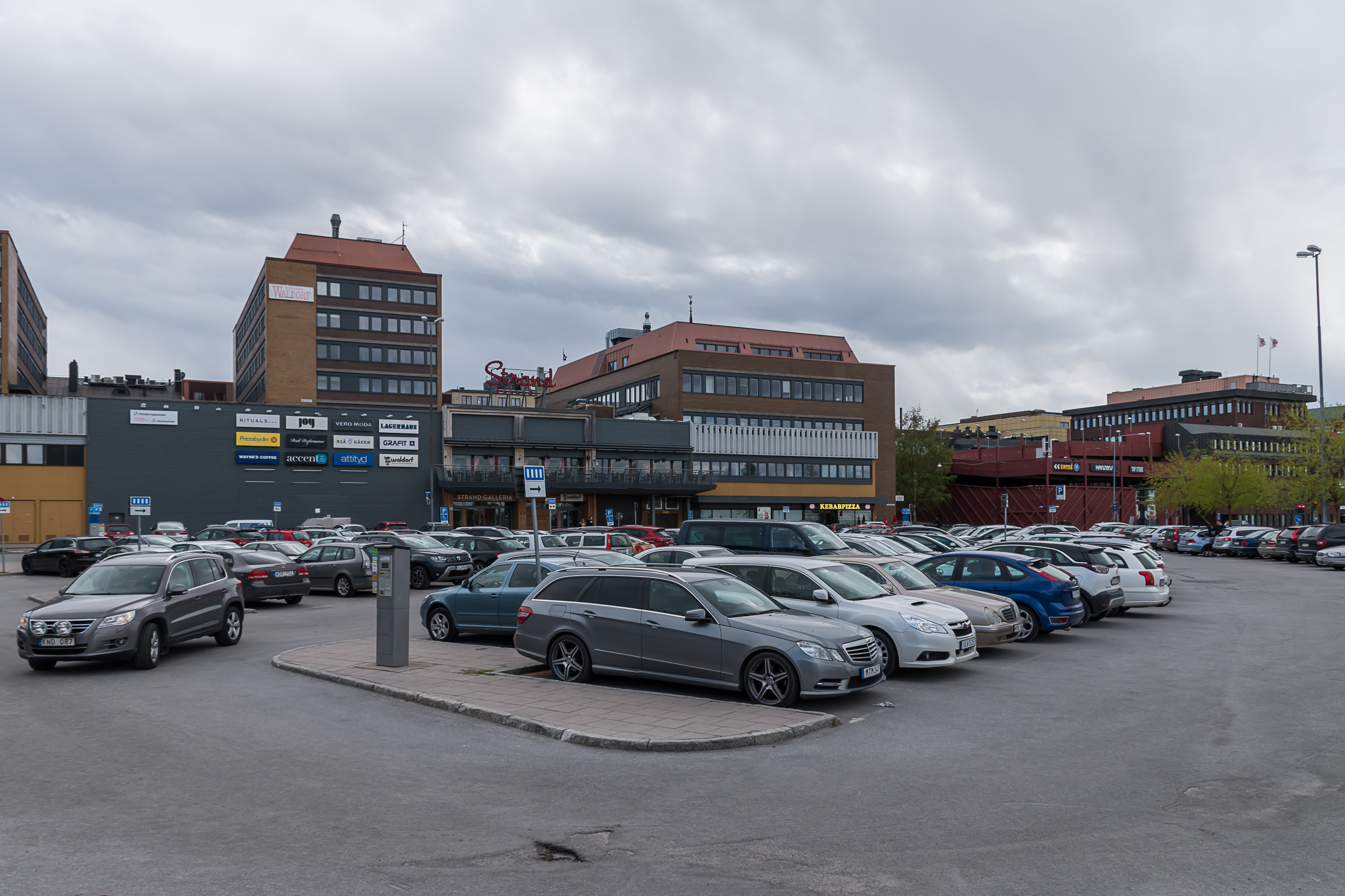
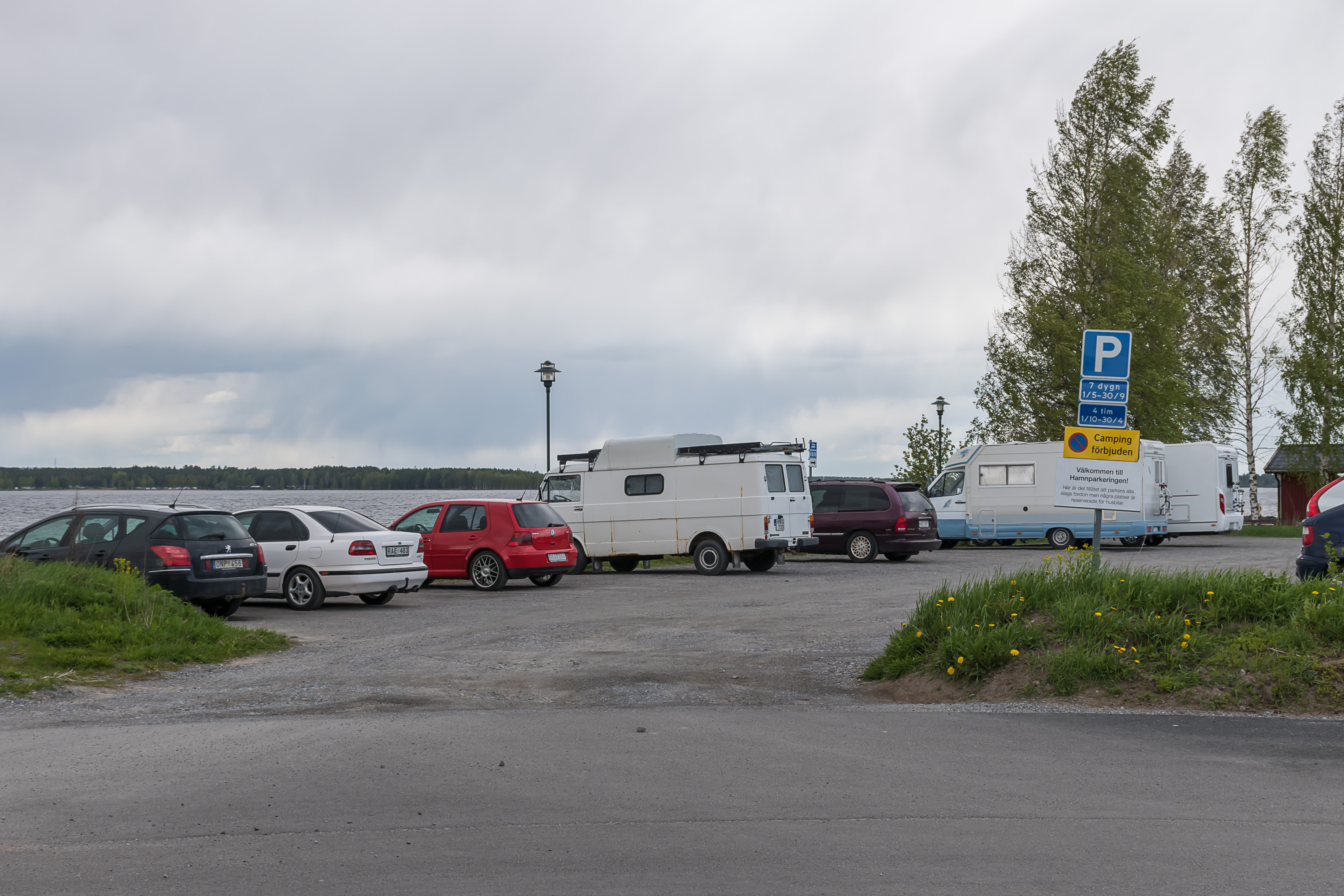
1. It was a holiday, so I was able to park at this (rather packed) parking lot next to the center for free. Yay. (The holiday was the Ascension Day, and it is a public holiday in Sweden, same as in Finland.)

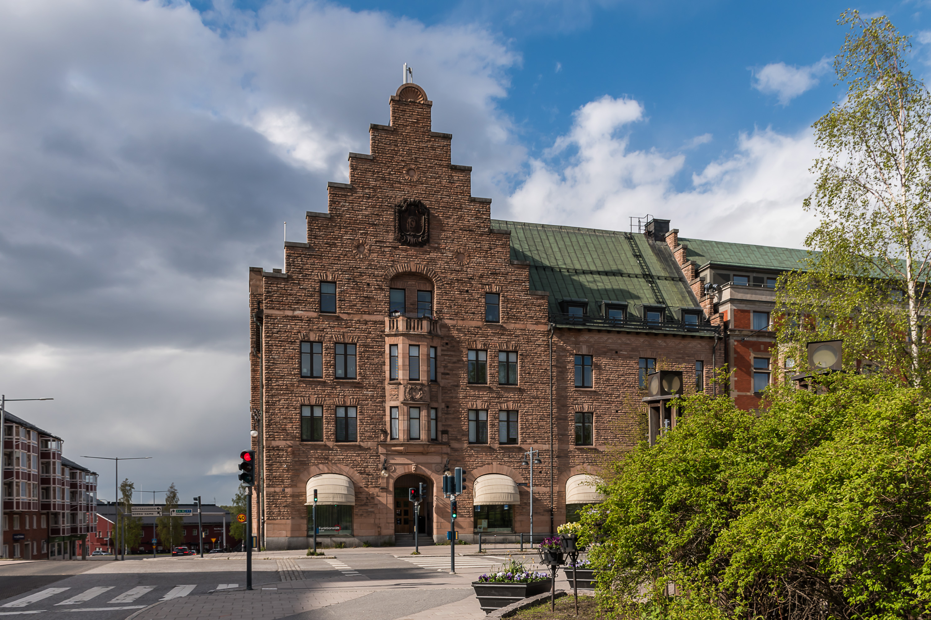
2. Some public building. You can see the coat of arms of Luleå here, two crossed blue keys. Keys for the North? Seems rather appropriate.

3. A large part of the central Luleå is located on a peninsula, cutting into the Lule river. Luleå thus has a rather long and nice-looking coastline.
4. The northern waterfront.
5. This is the Lule river. Pretty much the biggest river of entire Sweden, it is full 2 km wide here (although it narrows down to 600 m at the tip of the Luleå peninsula).

6.
7.

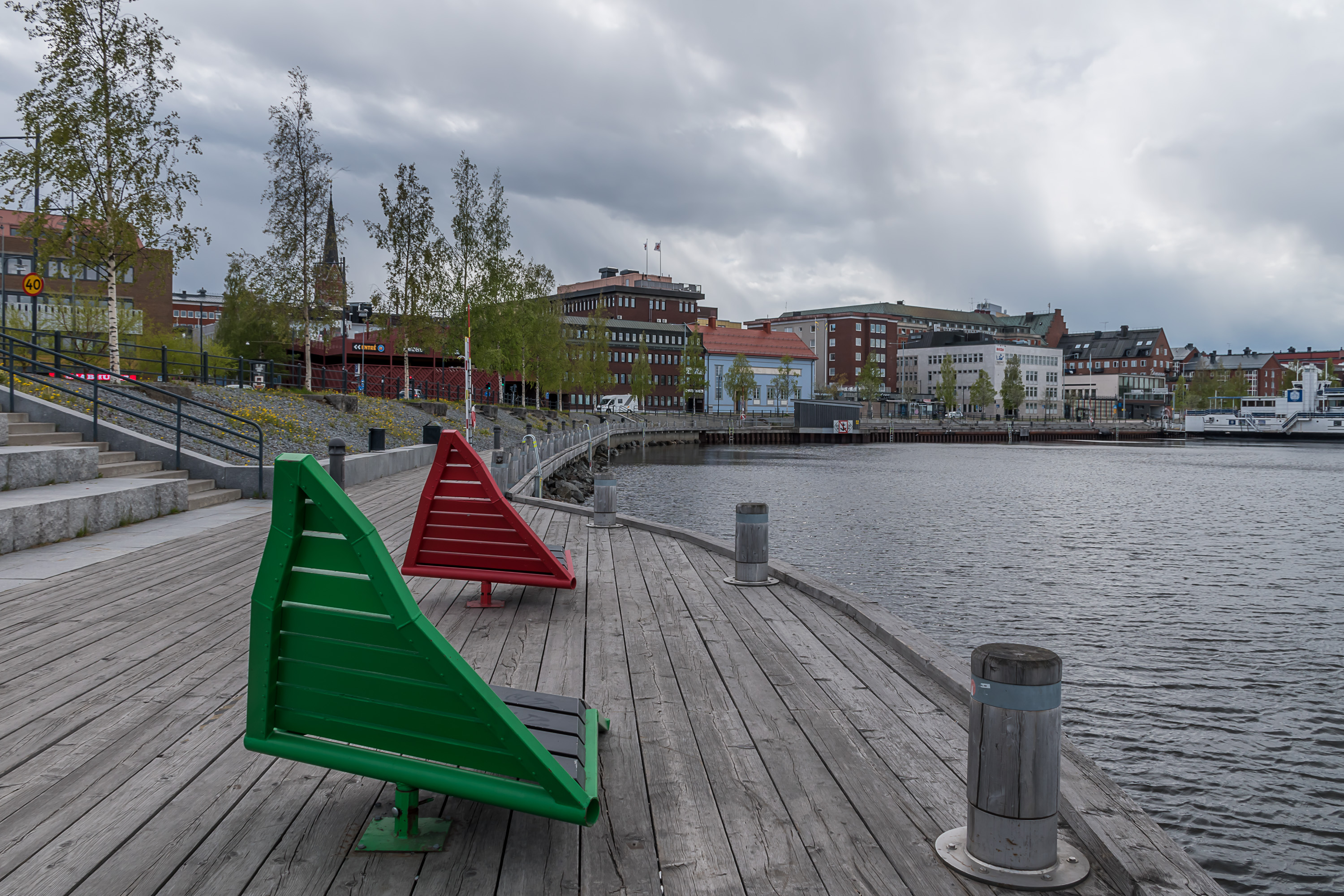
8. I thought to myself "the big bench is for Swedes, and the tiny benches are for Finns" here.

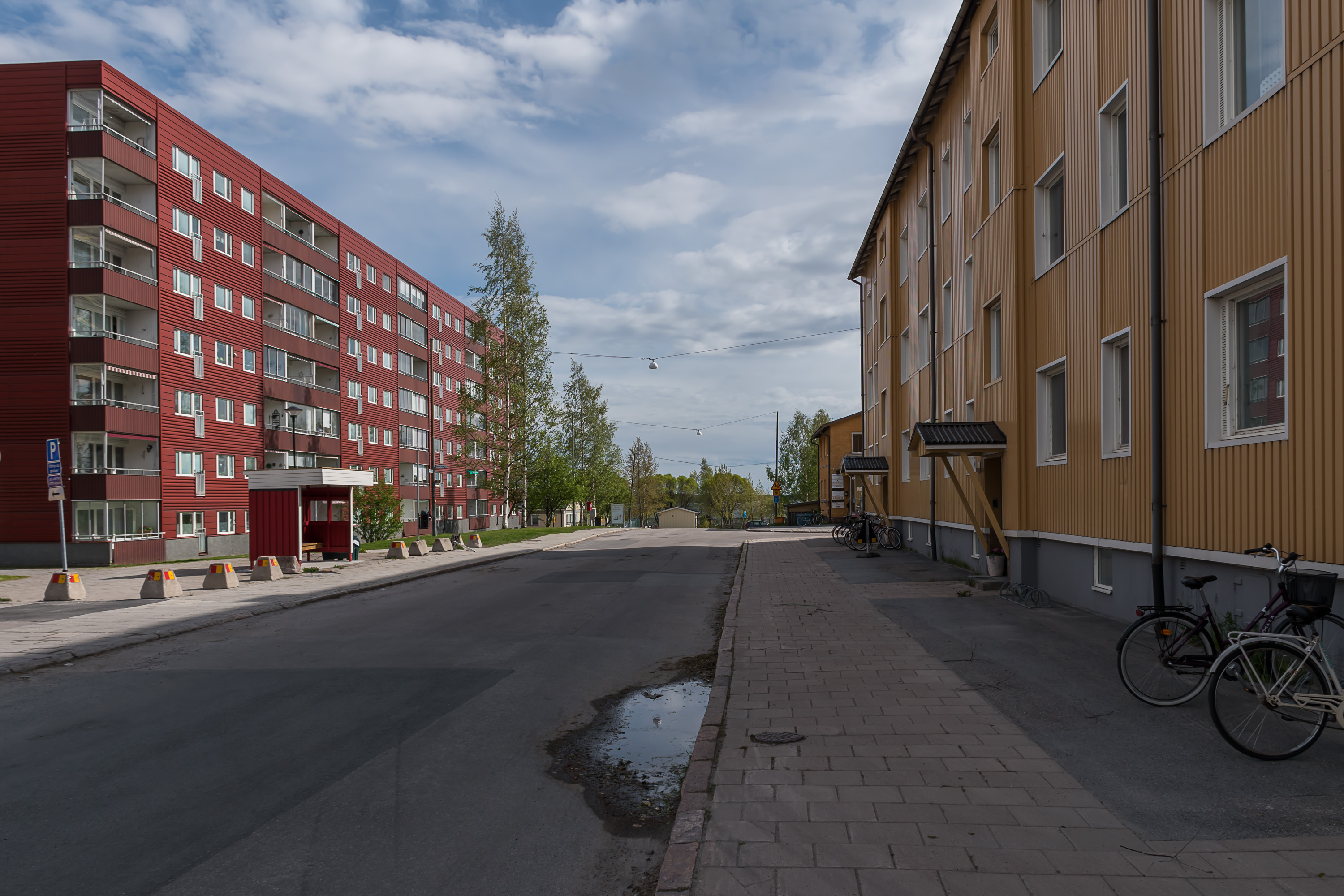
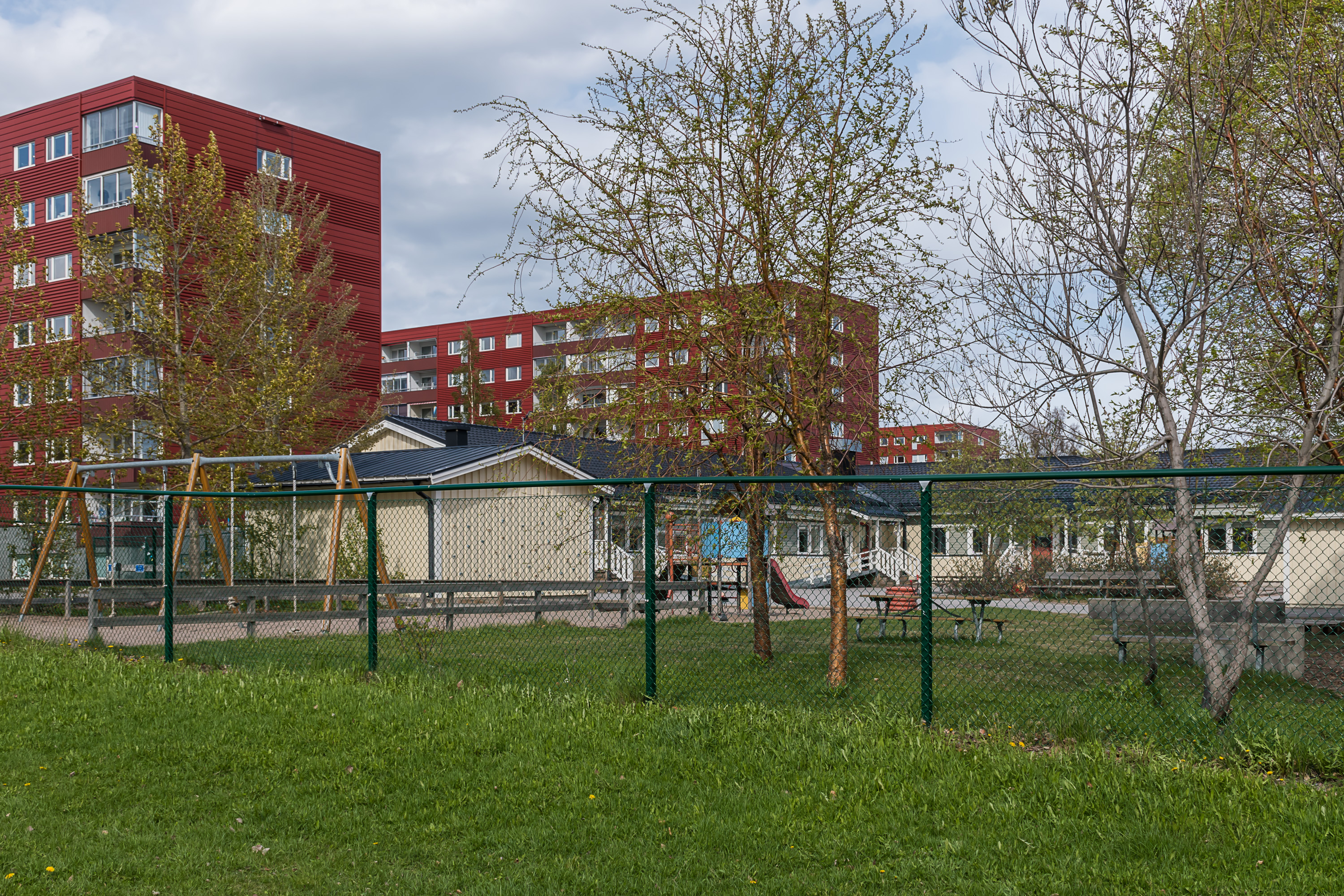
9. A bit farther from the center, the coastline is built up with some rather boring looking apartment buildings.
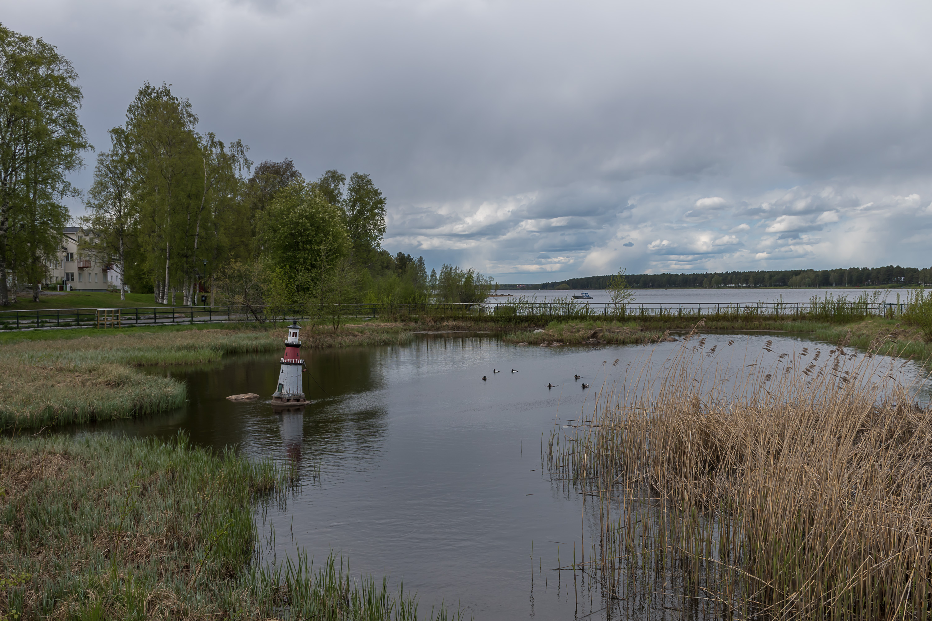
10. Small isolated bay.
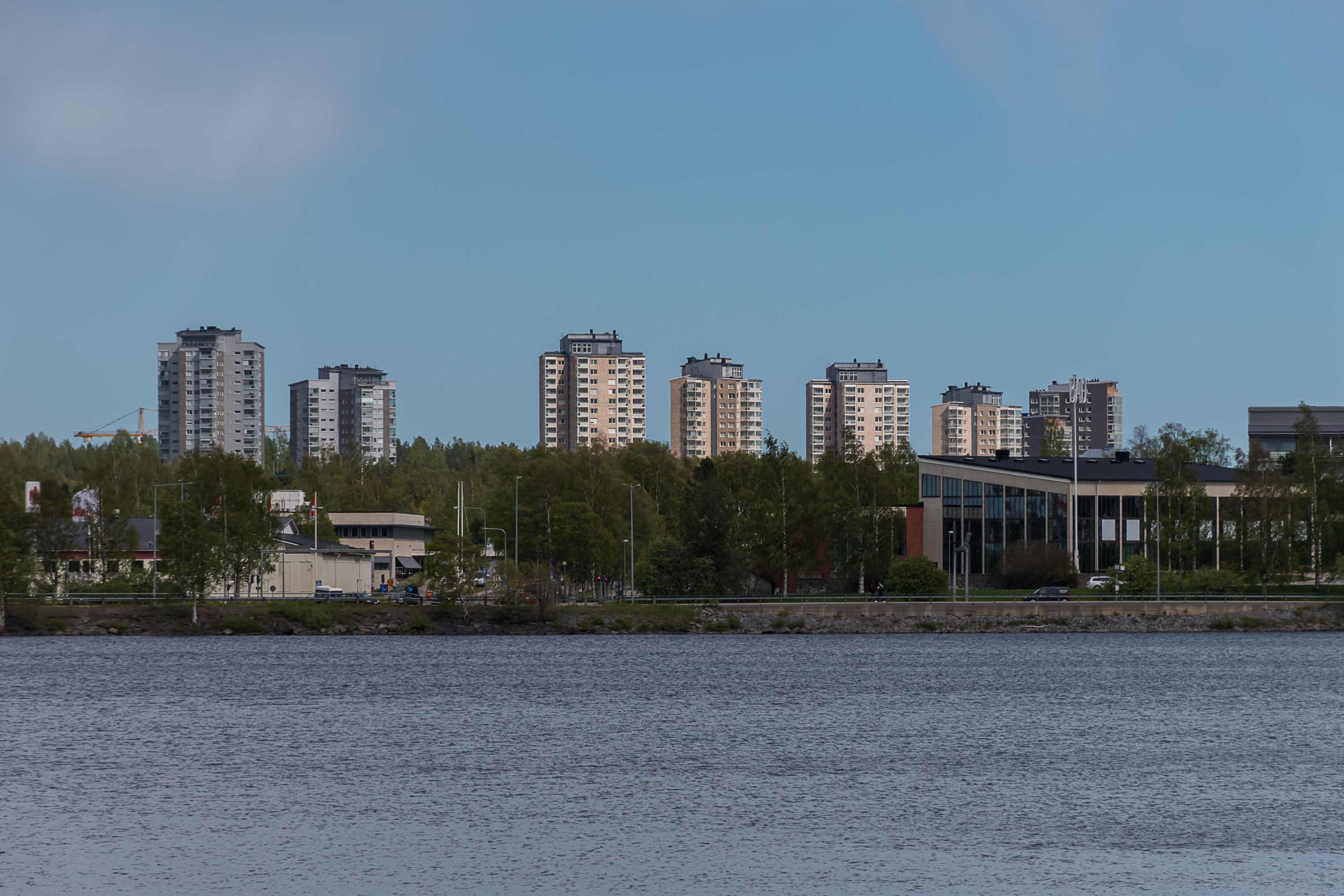
11. There are apartment towers in Luleå as well, although I didn't go anywhere near them. I didn't explore the university area either.

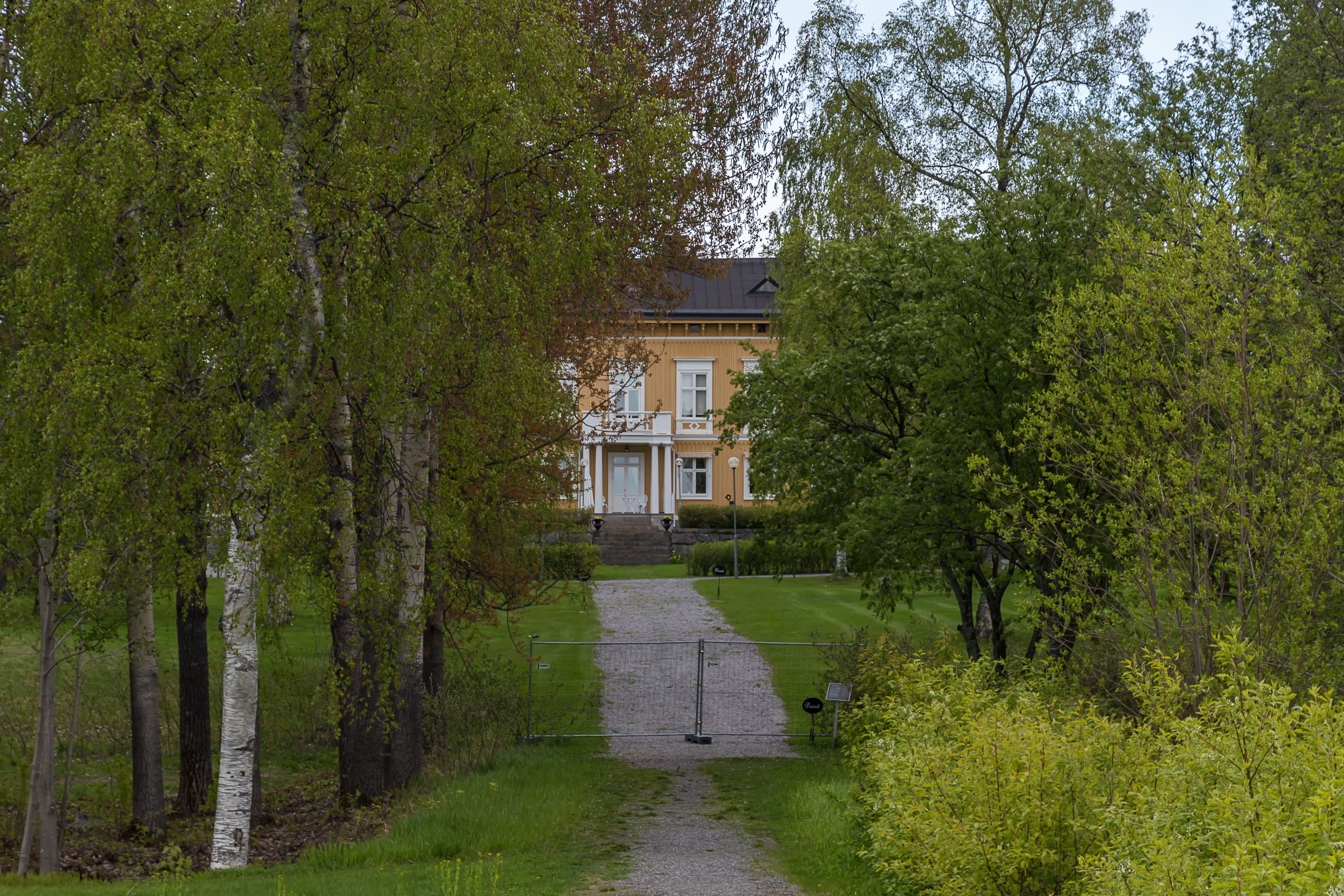
12. Some old mansion or something like that close to the end of the central peninsula.
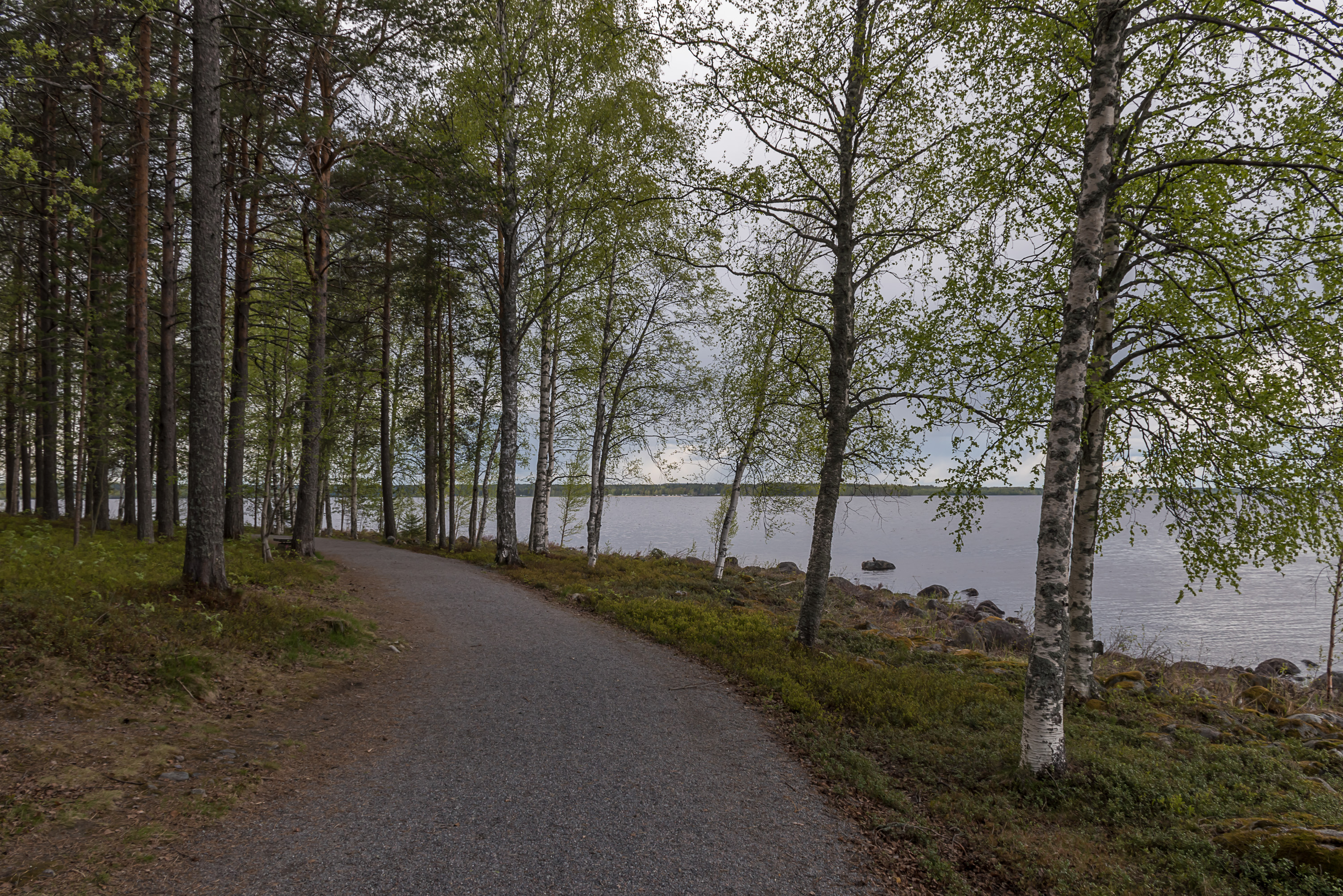
13. Track along the peninsula tip through a small forest.
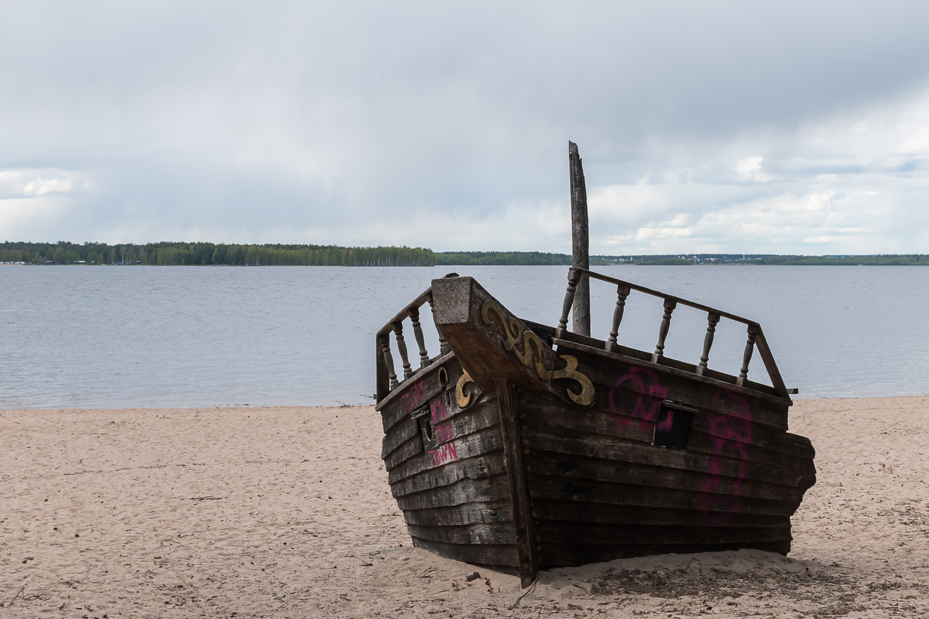
14. There's also a beach with a decorative shipwreck. (It's not real right?)
15. Then the forest ends. This is a small free parking lot, meant specifically for RVs, although it doesn't have any special facilities for them.
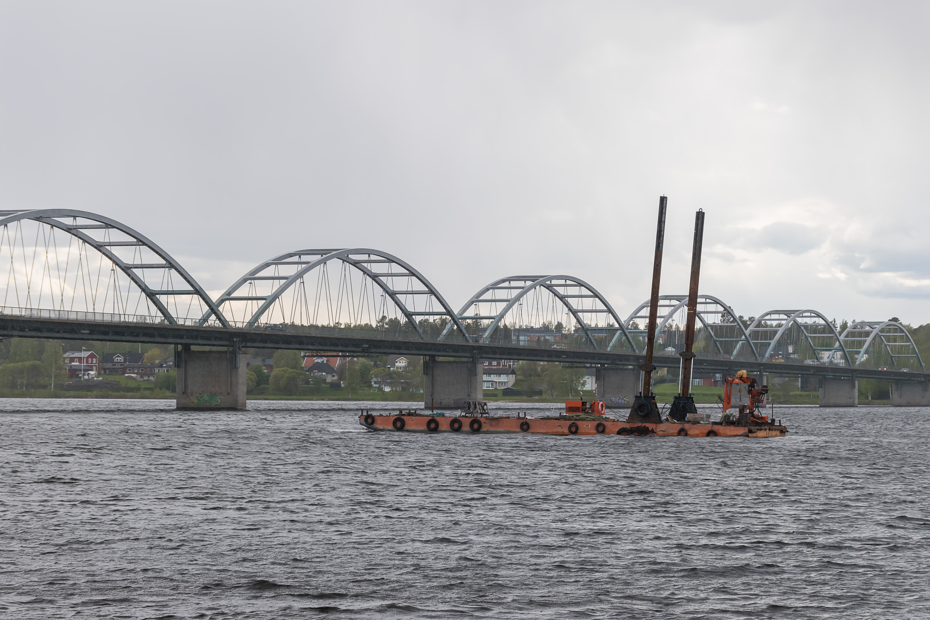
16. Bergnäsbron (Bergnäs Bridge), at the tip of the Luleå peninsula, is quite an impressive looking bridge. It was built in 1954, and at almost 900 m, held the title of the longest bridge of Sweden for 12 years. The transit E4 highway bypasses the city now, and the bridge has only local significance.
17. Former governor mansion (if I remember correctly), seen from the coast.
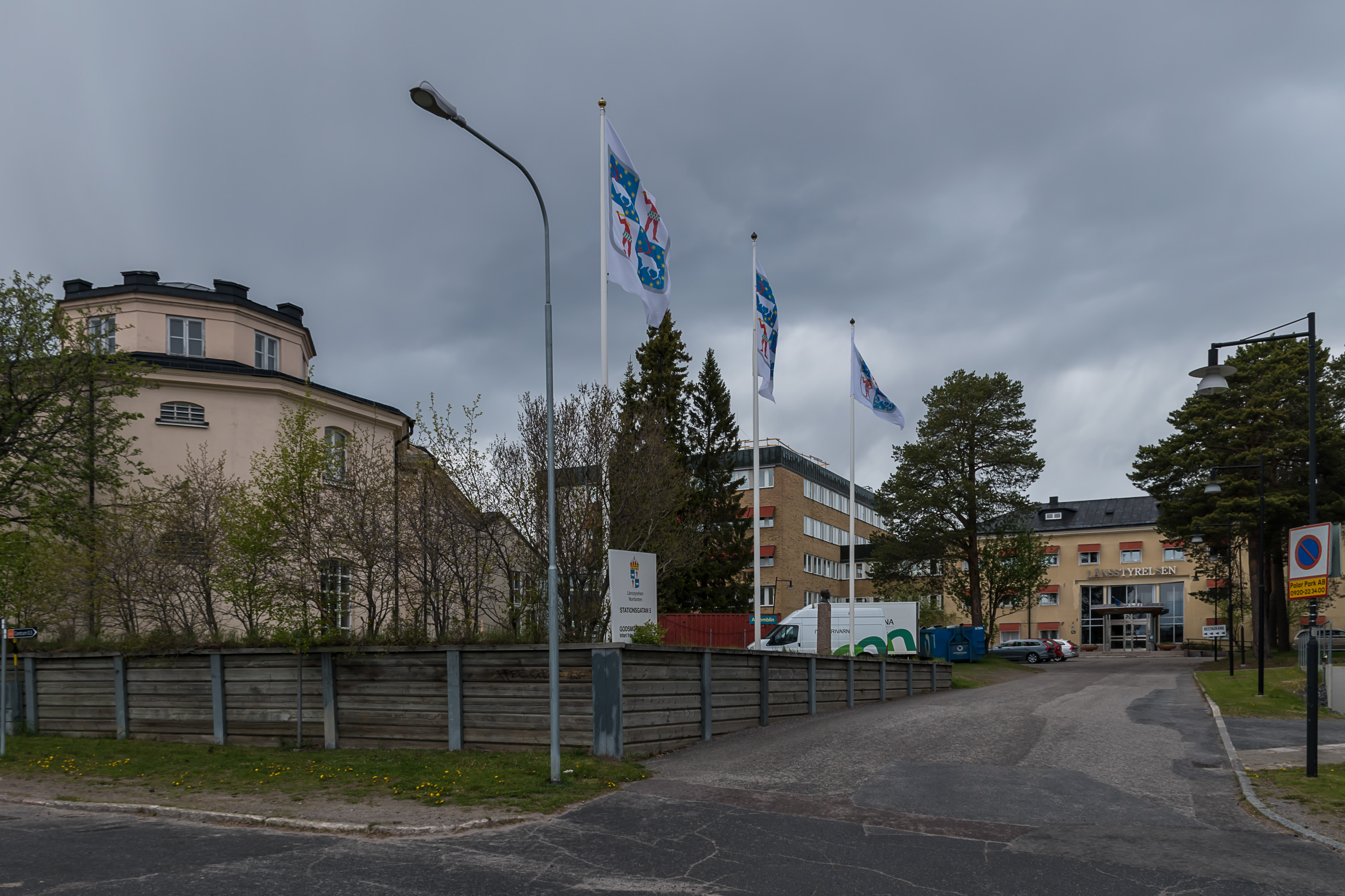
18. County administration (länstyrelsen) buildings. Flags of the Norrbotten County are visible; a clearer image from Wikipedia:
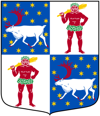
It's worth reminding here that there are two possible ways to divide Sweden; the historical one into provinces (landskap) and the modern one into counties (län). Counties were originally introduced as long ago as 1634, yet provinces are still informally recognized, and generally make more sense as a geographical and cultural subdivision. Norrbotten County — meaning literally, of course, "north of the Gulf of Bothnia" — is the largest county, covering the northernmost part of the country. However, Norrbotten Province was a lot smaller, covering only the coastal areas; it however also extended into modern Finland, as provinces subdivision predates Finland's separation from Sweden. Inland areas belonged to the Lappland Province.
Provinces used to have their own coats of arms, and counties use the same designs instead of inventing their own, but often quartered or otherwise combined to signify that a county consists of parts of several older provinces. In this flag/coat of arms, the savage is the original coat of arms of Lappland (odd as it is; even if you consider Sami people savages, which was probably the original idea behind this, they can hardly walk around in that outfit in the conditions of North Sweden), and the running reindeer is the coat of arms of Västerbotten. But, oddly enough, modern Norrbotten County actually doesn't intersect with old Västerbotten Province in any way... Old Norrbotten Province had its own coat of arms, admittedly rather boring-looking, and it doesn't show up here. Oh well, heraldry is complicated.

19. Old county administration building.
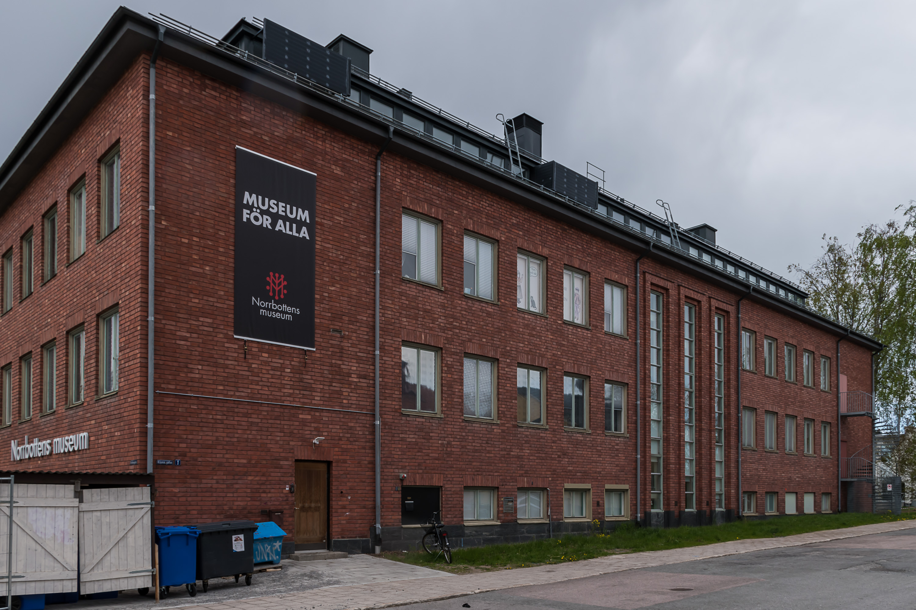
20. Luleå has a museum, proudly called the Norrbotten Museum. I realized I would have to rush a bit if I want to see it. The museum has free entrance, which was a nice surprise.
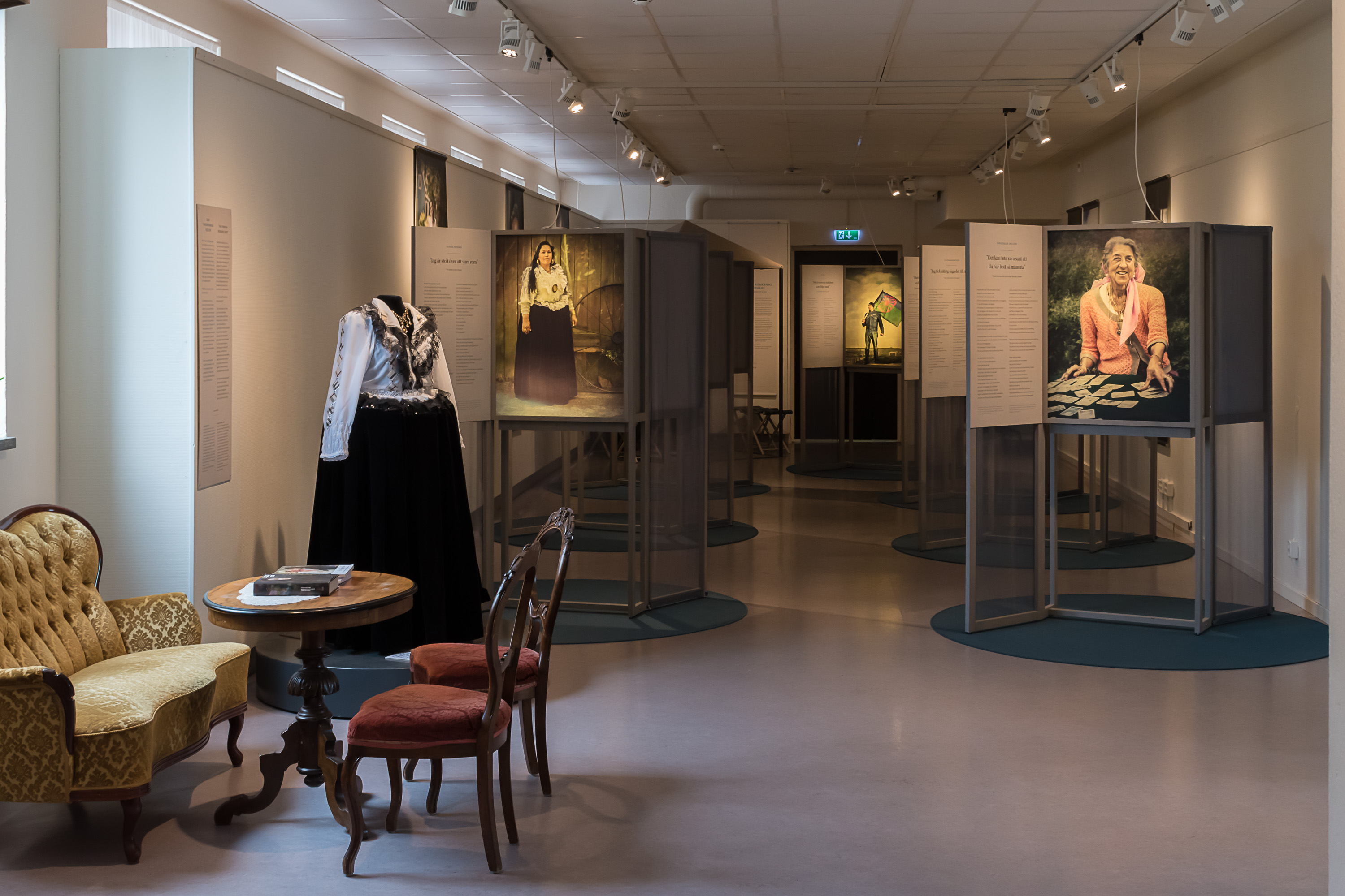
21. However it turned out that the museum is actually rather tiny (despite what you might think from what the building looks like), and apparently doesn't even have any permanent exhibitions. This temporary one was about Roma people in Sweden. Weeell sure that's very interesting and stuff but I hoped for something about the early days of Luleå... Ah well, at least I didn't have to pay for this.

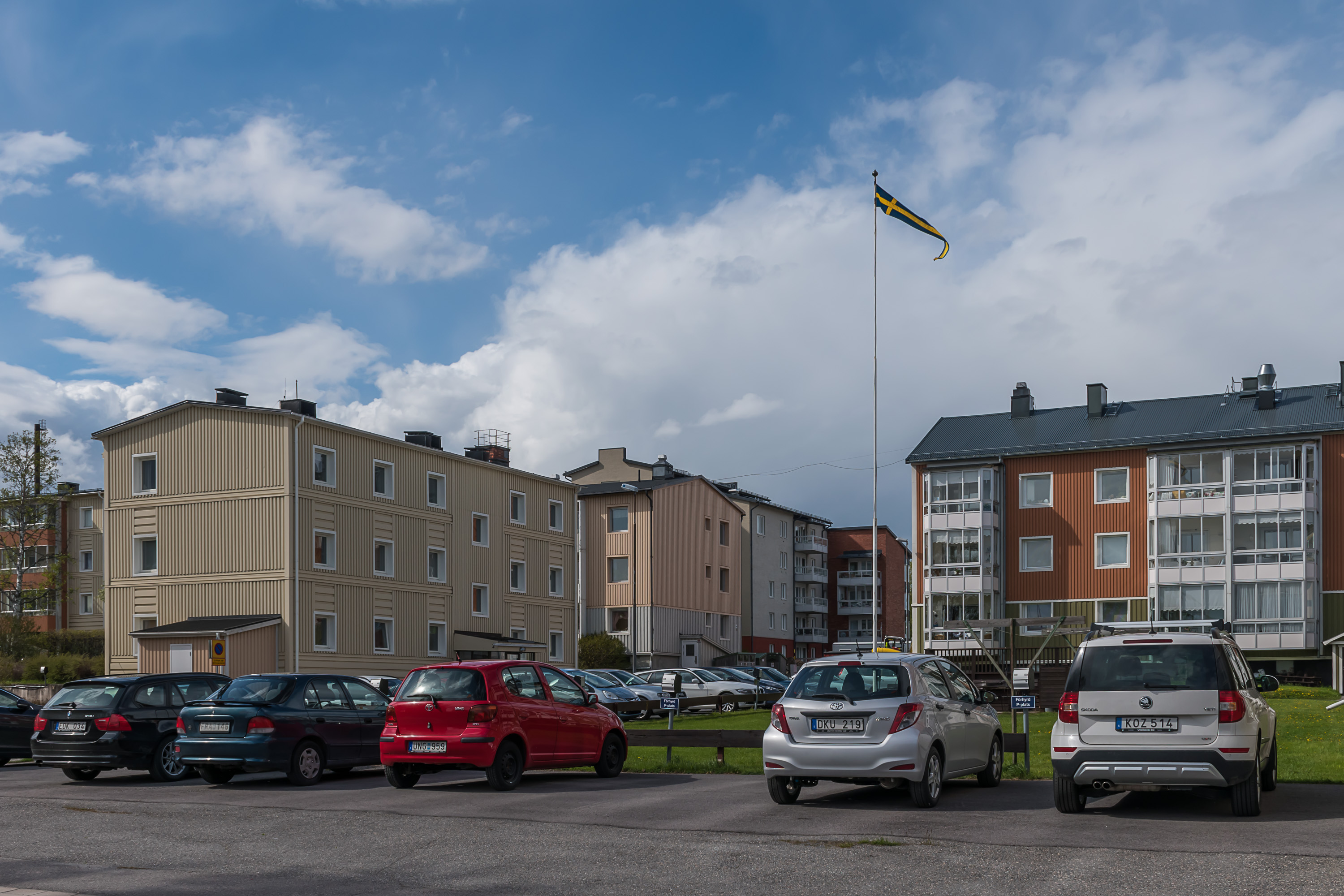
22. Now for some residential areas.
23. Another building which would look at home in North Sweden or North Norway, but would be competely out of place anywhere in Finland.
24. And this building to the left actually looks not unlike a Russian one.
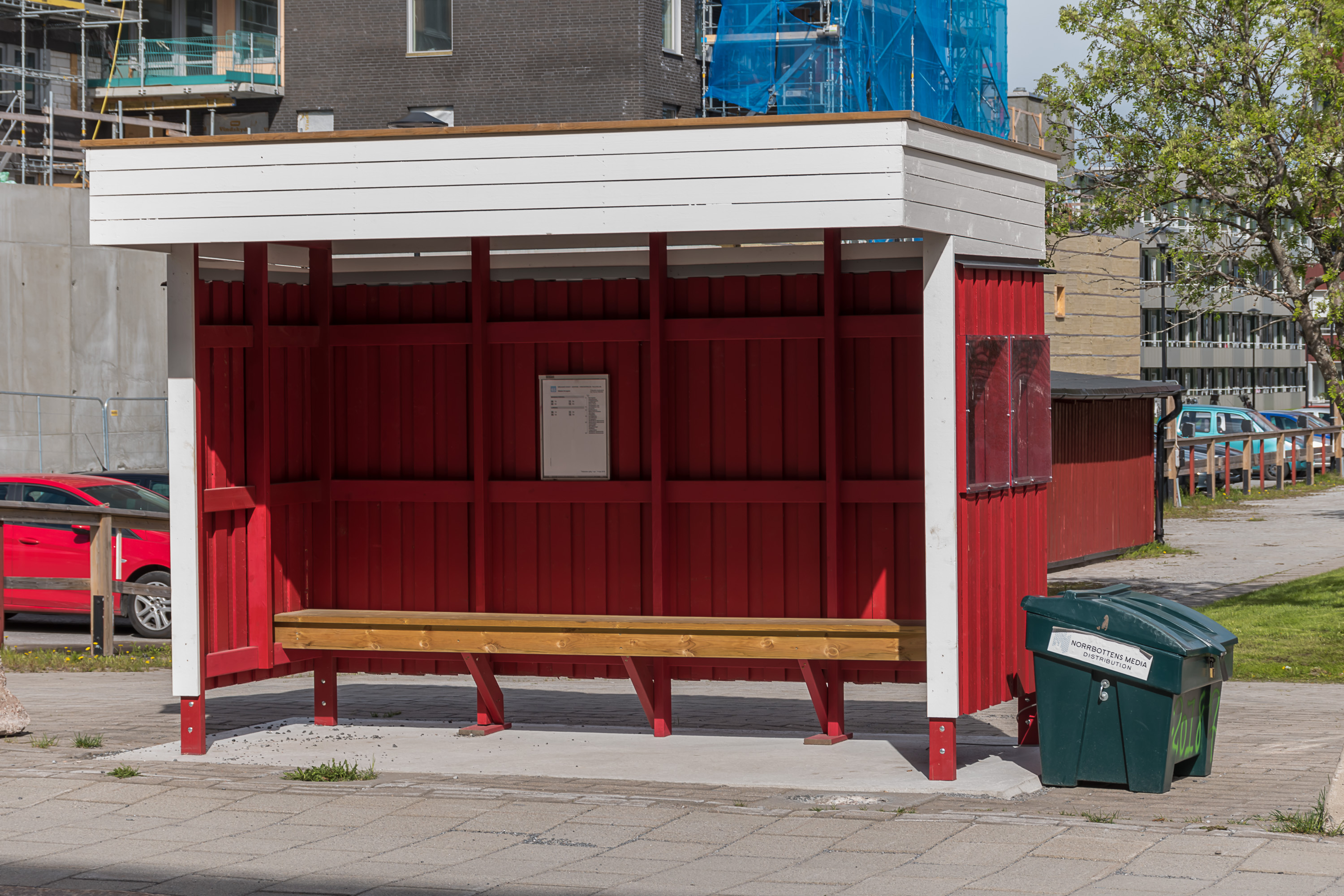
25. Bus stop. The only picture of a local bus that I have I took in Gammelstad, outside of Luleå proper, so you'll have to wait for the next post to see it.
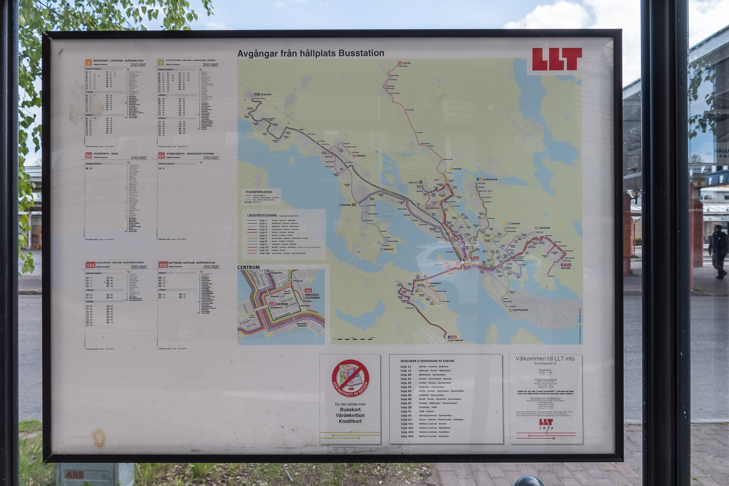
26. Local bus lines. You can see that the center is not that big and the city is pretty spread out.
27.
28. A kindergarten, I believe.

29. A building for Telia, the largest Swedish mobile operator. I have no idea whether this is a major office for them. Their Swedish Wikipedia page at least doesn't mention anything about Luleå.
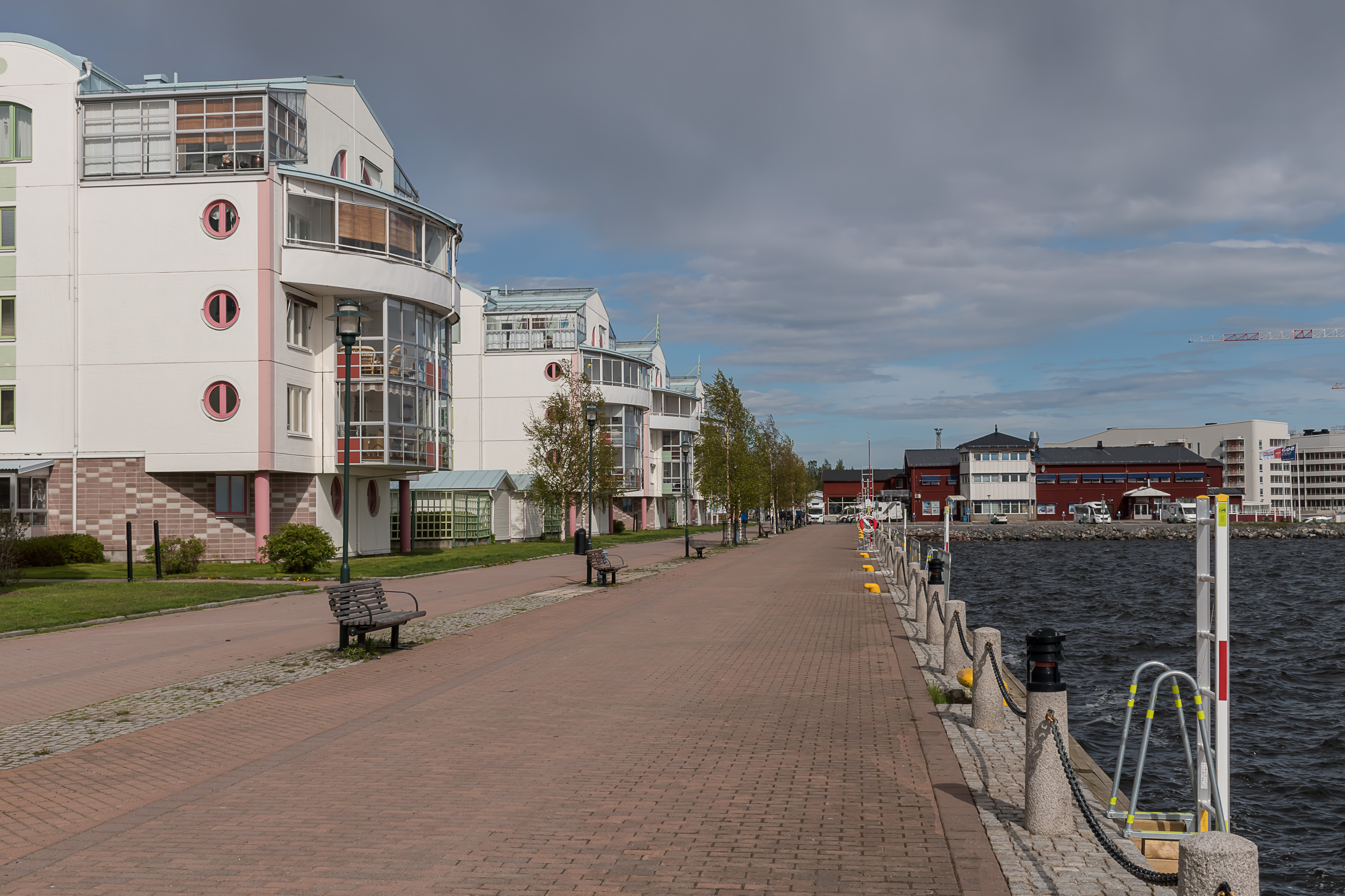
30. We move now to the southern waterfront of the city, and some nice older buildings can be spotted there.
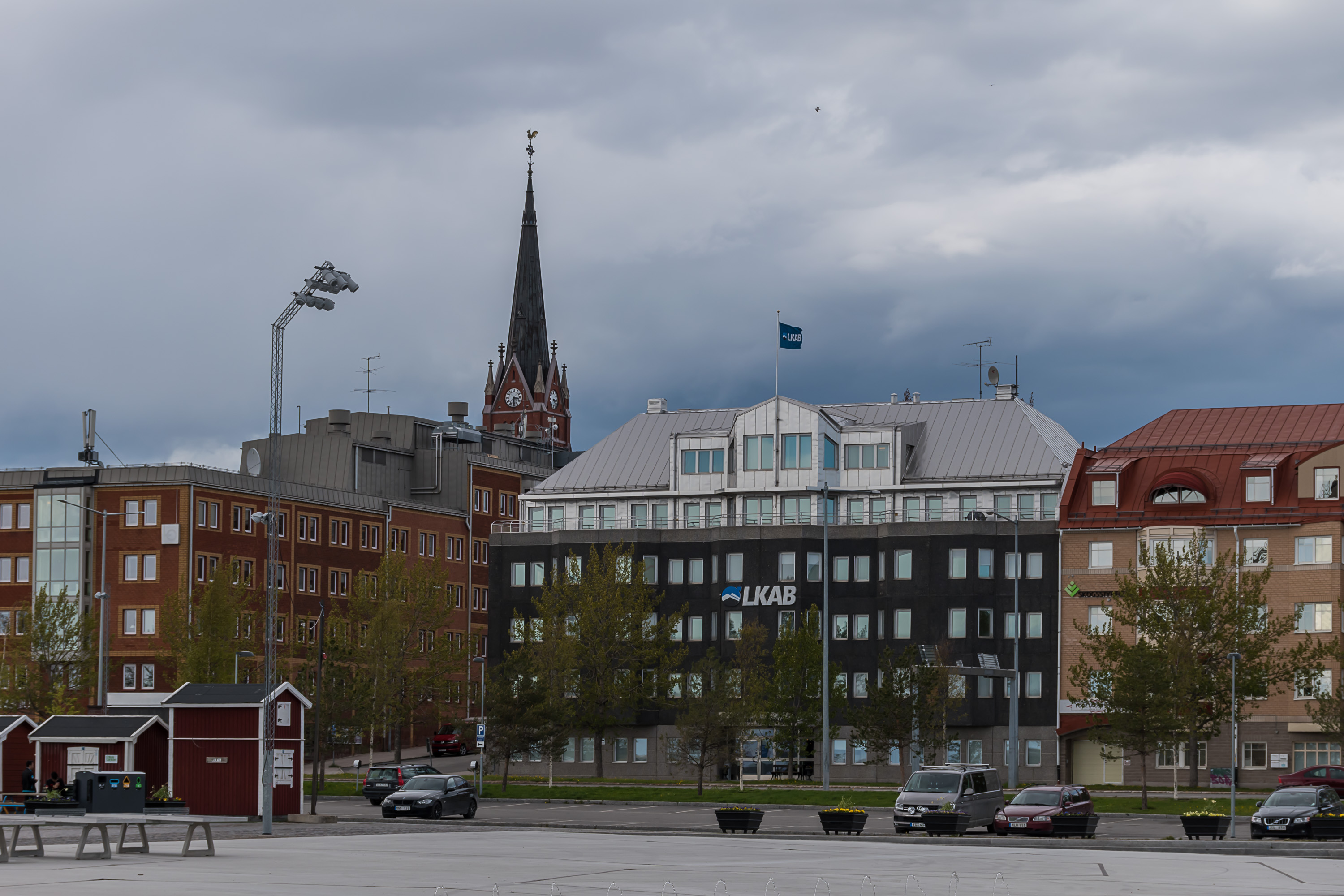
31. Including apparently the headquarters of LKAB, the company that operates all Kiruna and Gällivare mines, ore terminals in ports of Luleå and Narvik, and cargo traffic on the Ore Railroad. The name means "Luossavaara-Kiirunavaara Aktiebolag"; Luossavaara and Kiirunavaara are the two fells near the city of Kiruna, where most of the ore is currently being mined. LKAB employs over 4,000 people in Sweden, and is quite profitable. It also fully belongs to the government of Sweden, so it's an example of socialism in action :)
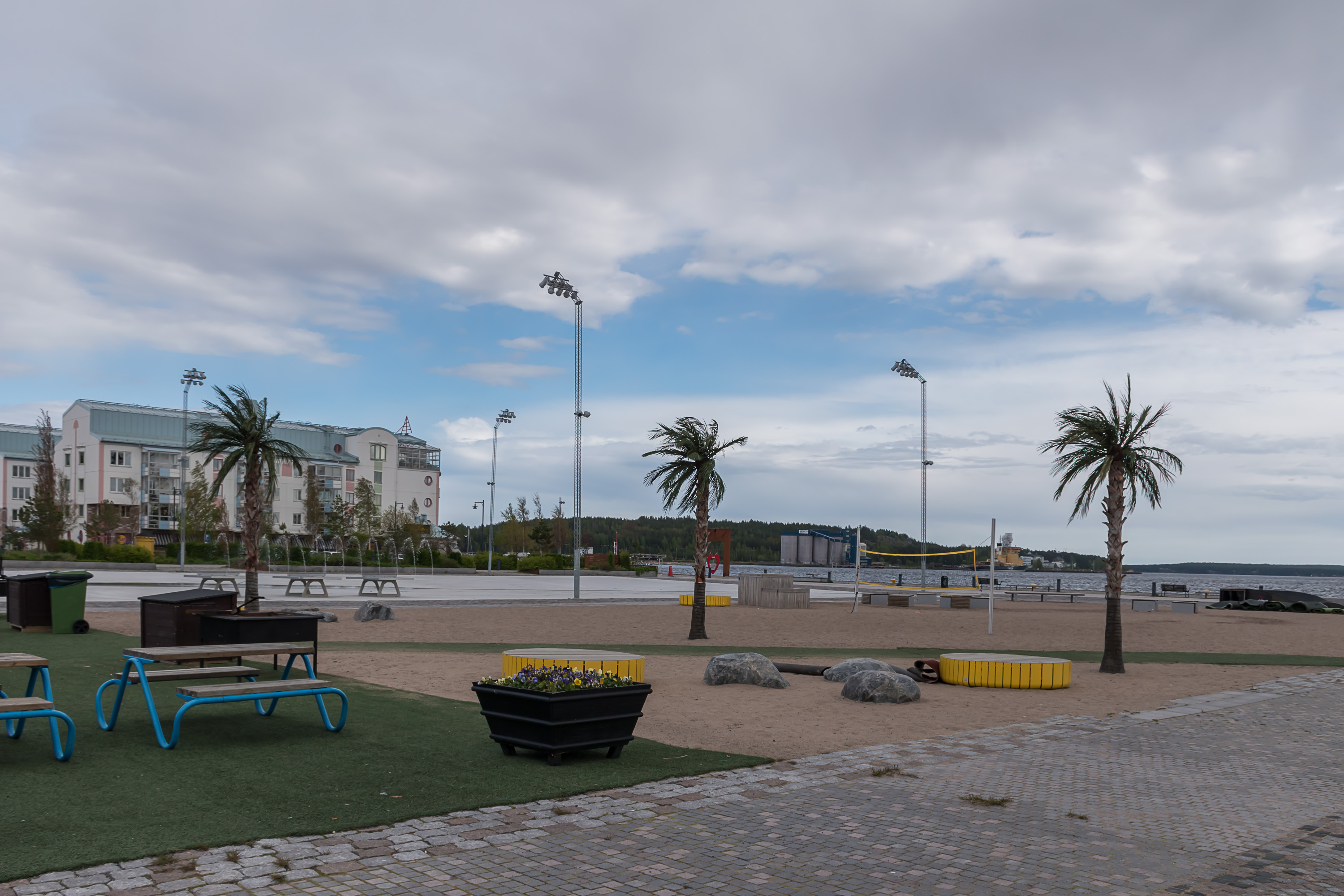
32. An old harbor area, currently a place for recreation. Palm trees! Who says Luleå is not a tropical city? Of course as a northern city it gets cold (and dark!) as hell in winter. The record low temperature is –42.3 ºC, and –10 ºC is average for winter months (which means that it often gets quite a bit colder than average). Still as a coastal city it's not yet as bad as some inland areas can be. Now in summer of course it still looks nice and green, but the palm trees definitely would have to be taken somewhere away for winter :)
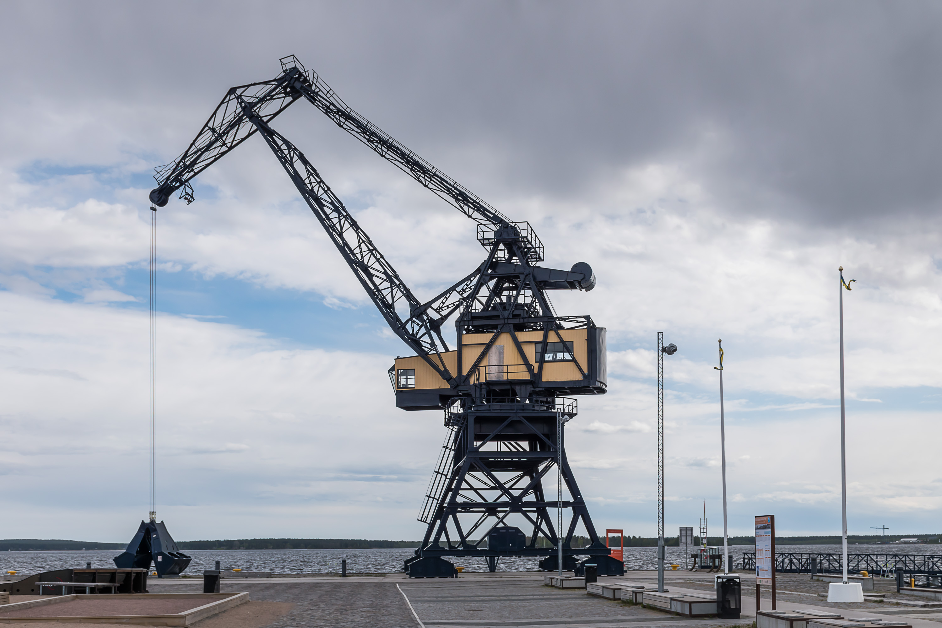
33. A single crane from the port has been preserved.
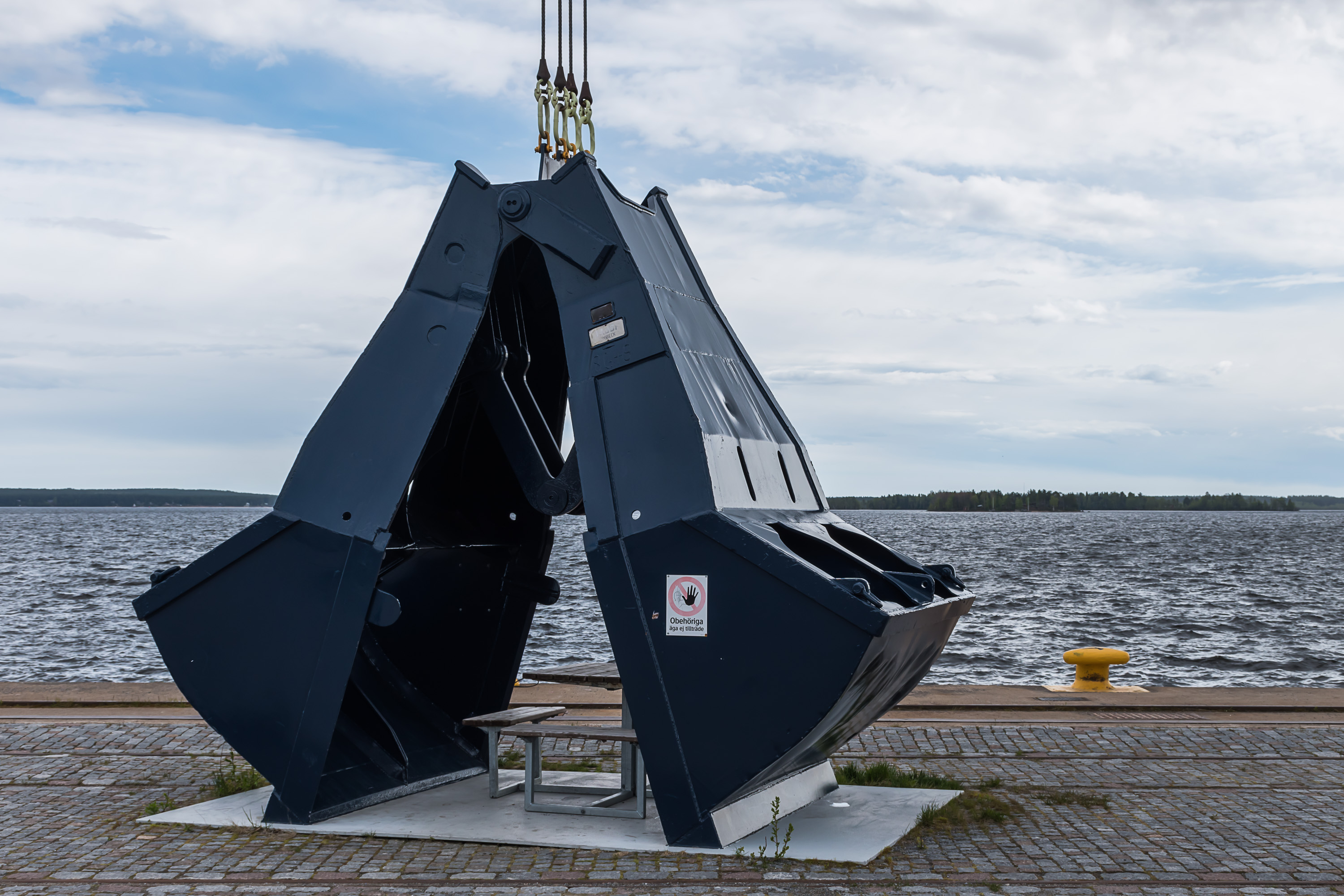
34. If you look closely, there's that picnic table it its bucket.
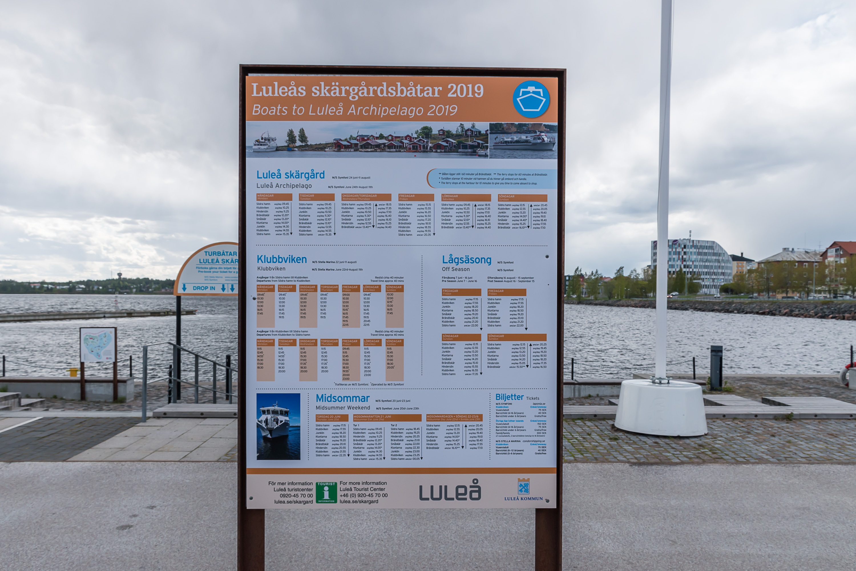
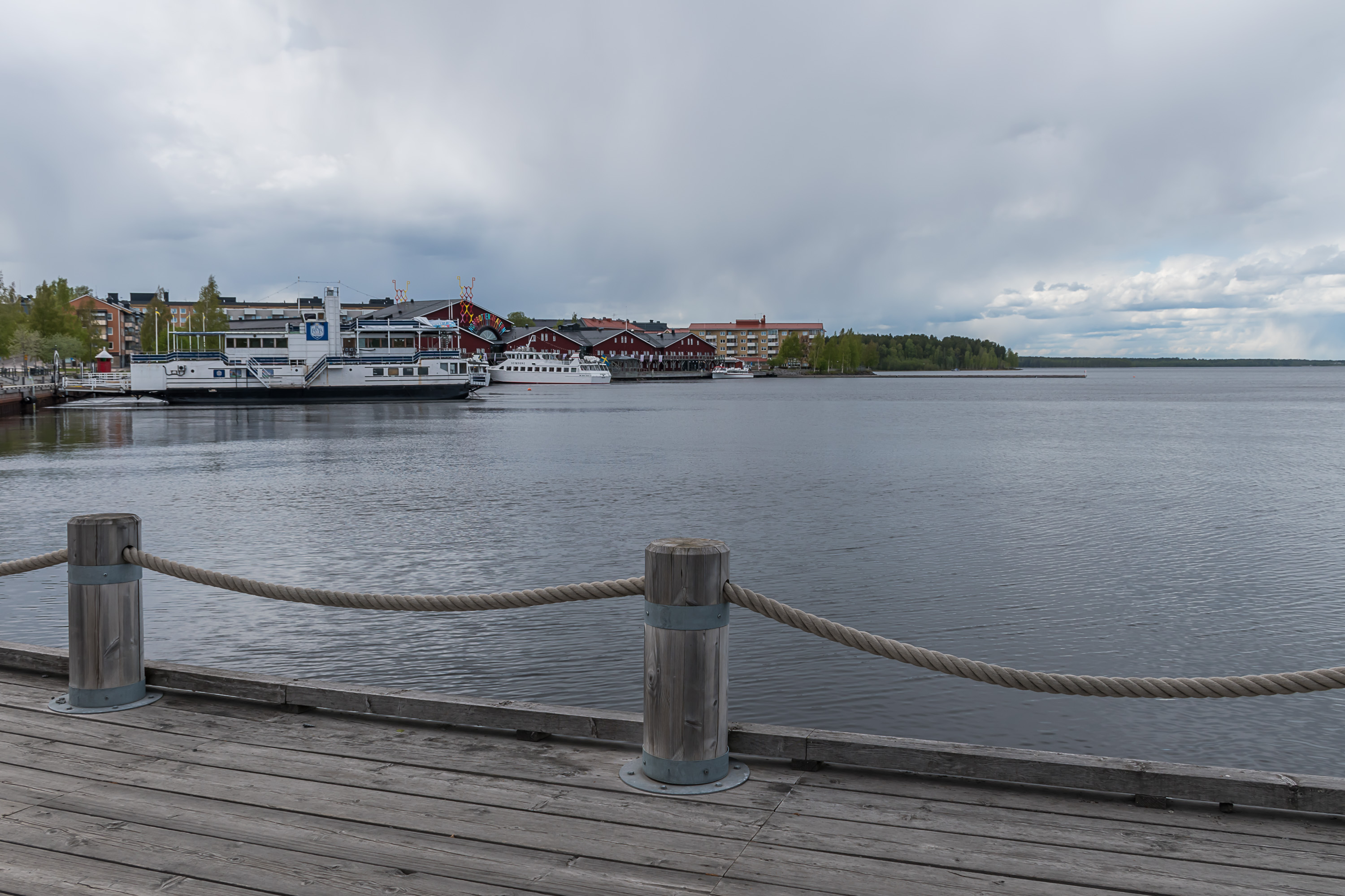
35. I'm a bit ashamed to admit I had no idea of the existence of Luleå archipelago when I saw these timetables. But indeed the northwestern Bothnian coast, approximately between Piteå and Haparanda (or even Finnish Kemi) is fairly rich in islands. I don't think there's anything particularly noteworthy about them, but maybe I'm just poorly informed. In any case at the time I visited Luleå it was still a bit too early season for archipelago boats.
36.
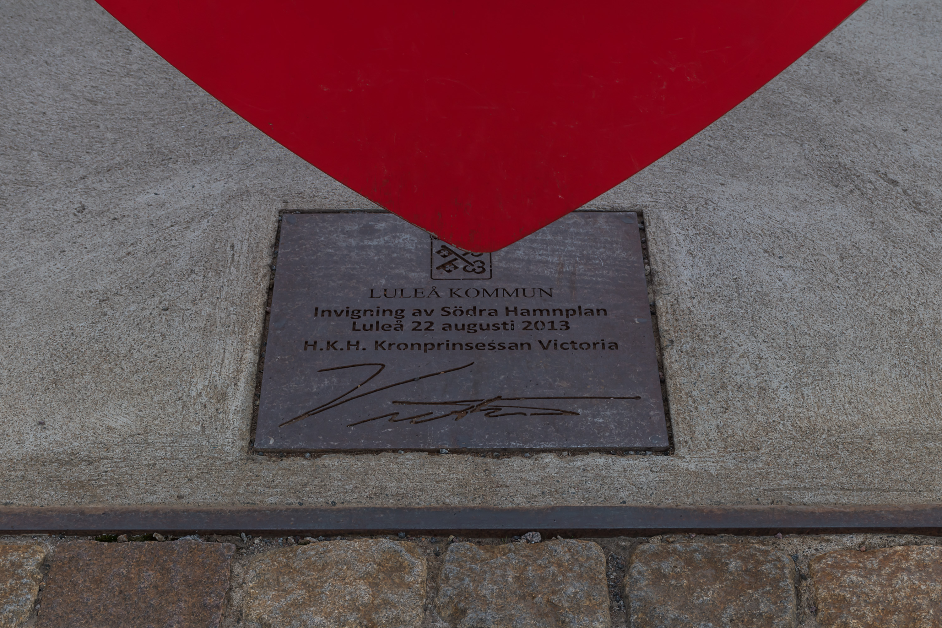
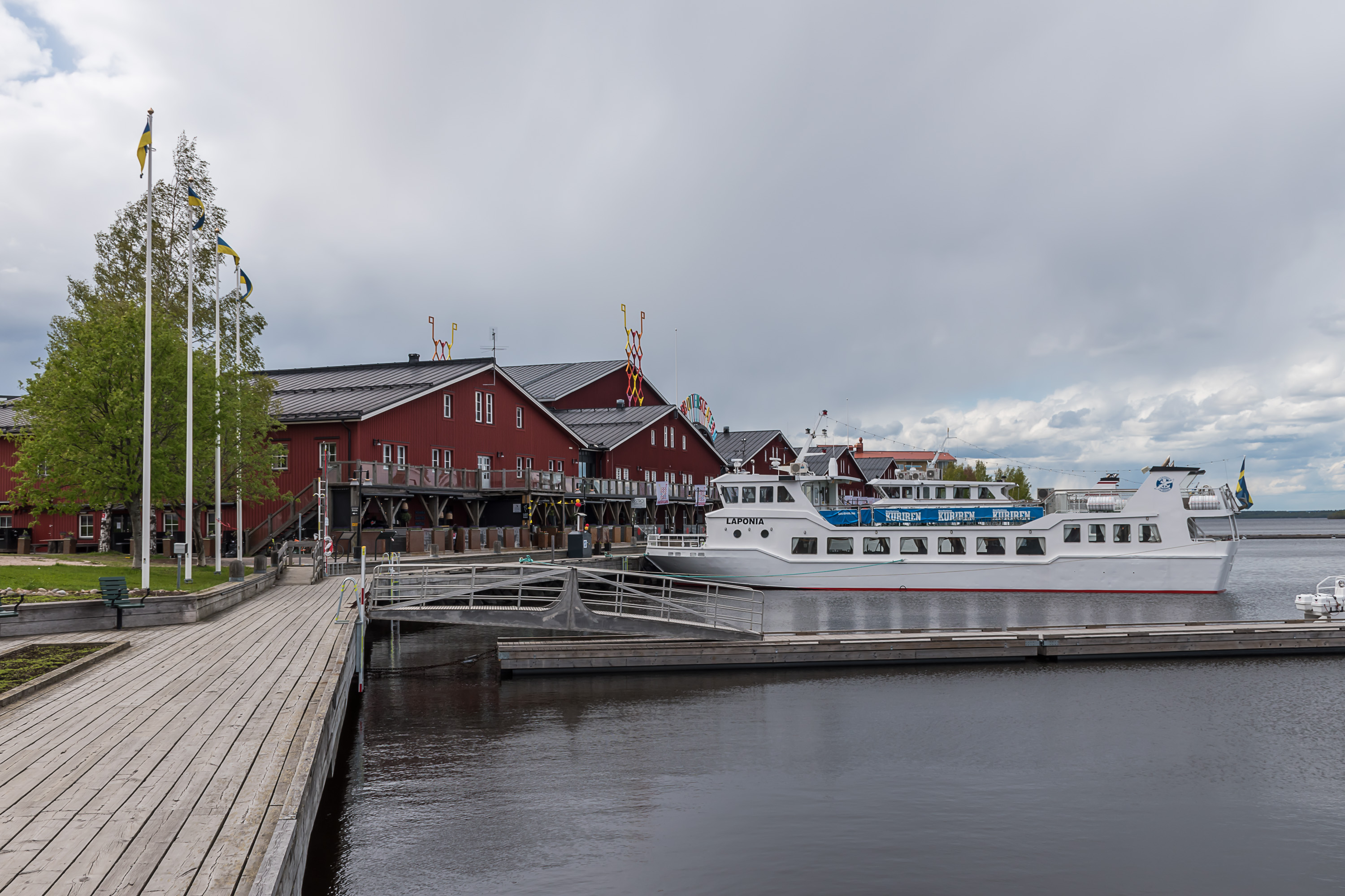
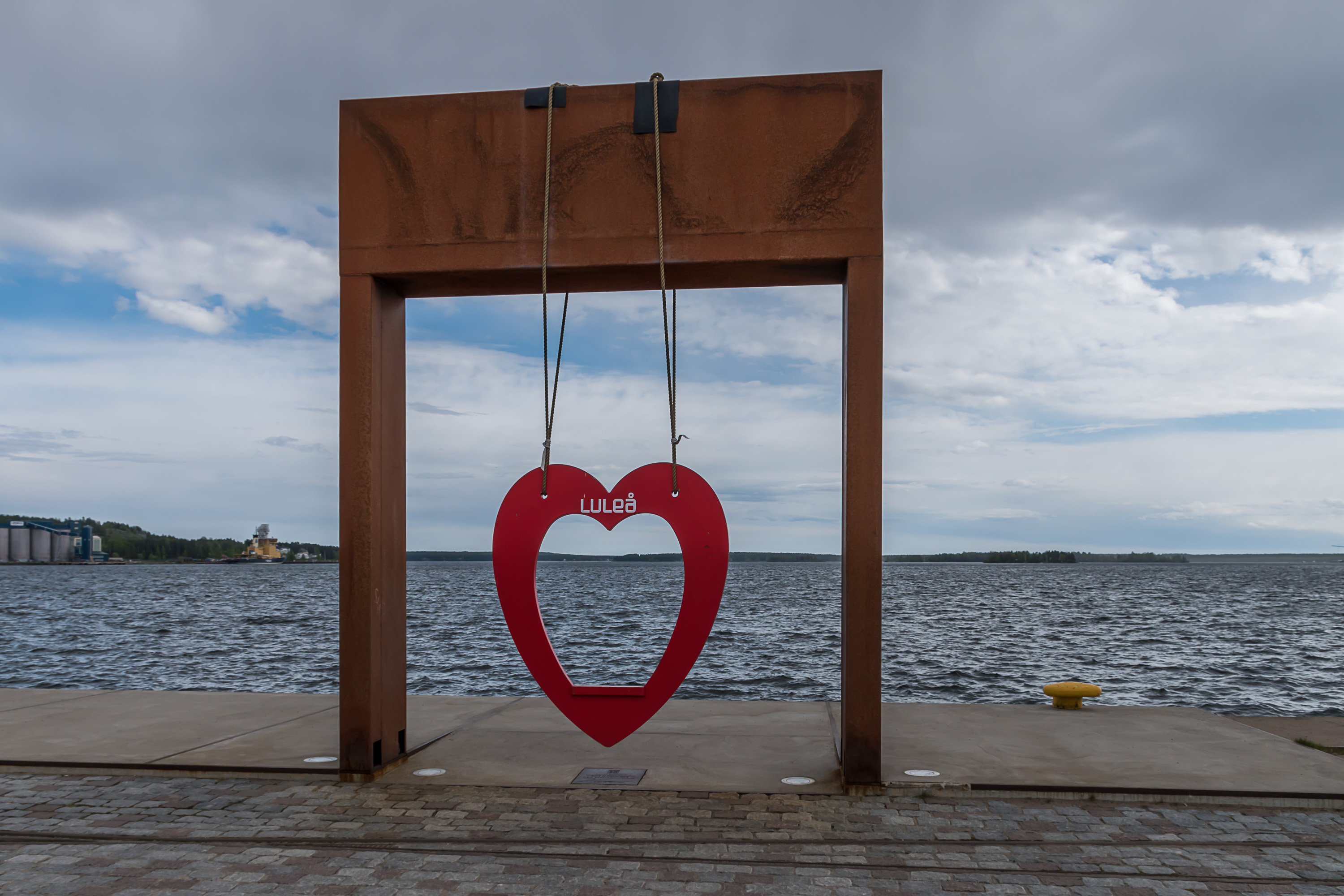
37. The heart thingy and the entire former harbor area were apparently inaugurated by Crown Princess Victoria in 2013.
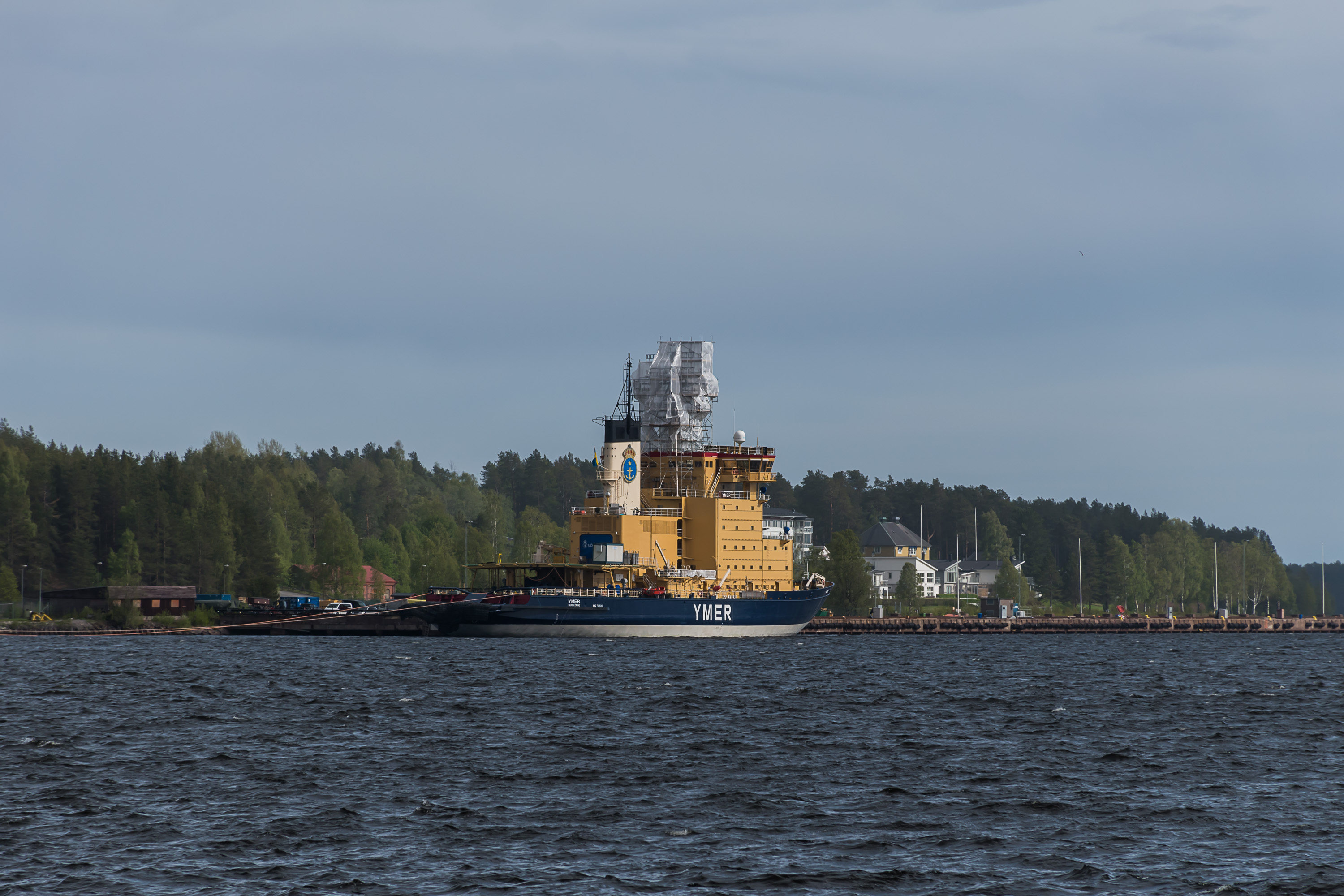
38. I think this is the first time I see a Swedish icebreaker, although I saw the name Ymer many times on ice charts of the Baltic Sea (for some reason I really like to check those daily in winter, watching how ice slowly grows and then, since April, quickly recedes). Ymer is a cool name; Ymer (known in English as Ymir) is the original frost giant in Norse mythology. He was killed by Odin and his brothers, Vili and Ve, and the entire Earth was created from his body.
Ymer is not the only Swedish icebreaker on the Bay of Bothnia, and an information board nearby says that a few others are normally also headquartered in Luleå, but for some reason this was the only icebreaker that I saw. It's also curious how it looks basically exactly like most Finnish icebreakers. And of course there's a reason for that; it was actually built in Helsinki in 1976. Finland, being the only seafaring country in the world with no ice-free ports, has long been the world leader in icebreaker construction.
It's worth noting also that I didn't get to see the actual port of Luleå, including ore terminals, nor the SSAB steel mill. As these things are major reasons for the entire existence of the city, this is of course a negligence on my part. They are located on the same relatively large peninsula where this icebreaker is moored, but not on this side of it at least.
(What I did get to see and hear however was some air force exercises almost right over the city. Luleå airport (yeah there's an airport, I'm not sure if there are flights to any cities other than Stockholm) also hosts a significant garrison of the Swedish Air Force. The planes were most likely Saab JAS 39 Gripens; Sweden is one of the few countries which are able to arm their air force themselves. Although the aircrafts were extremely loud at times, I never could get a good picture.)
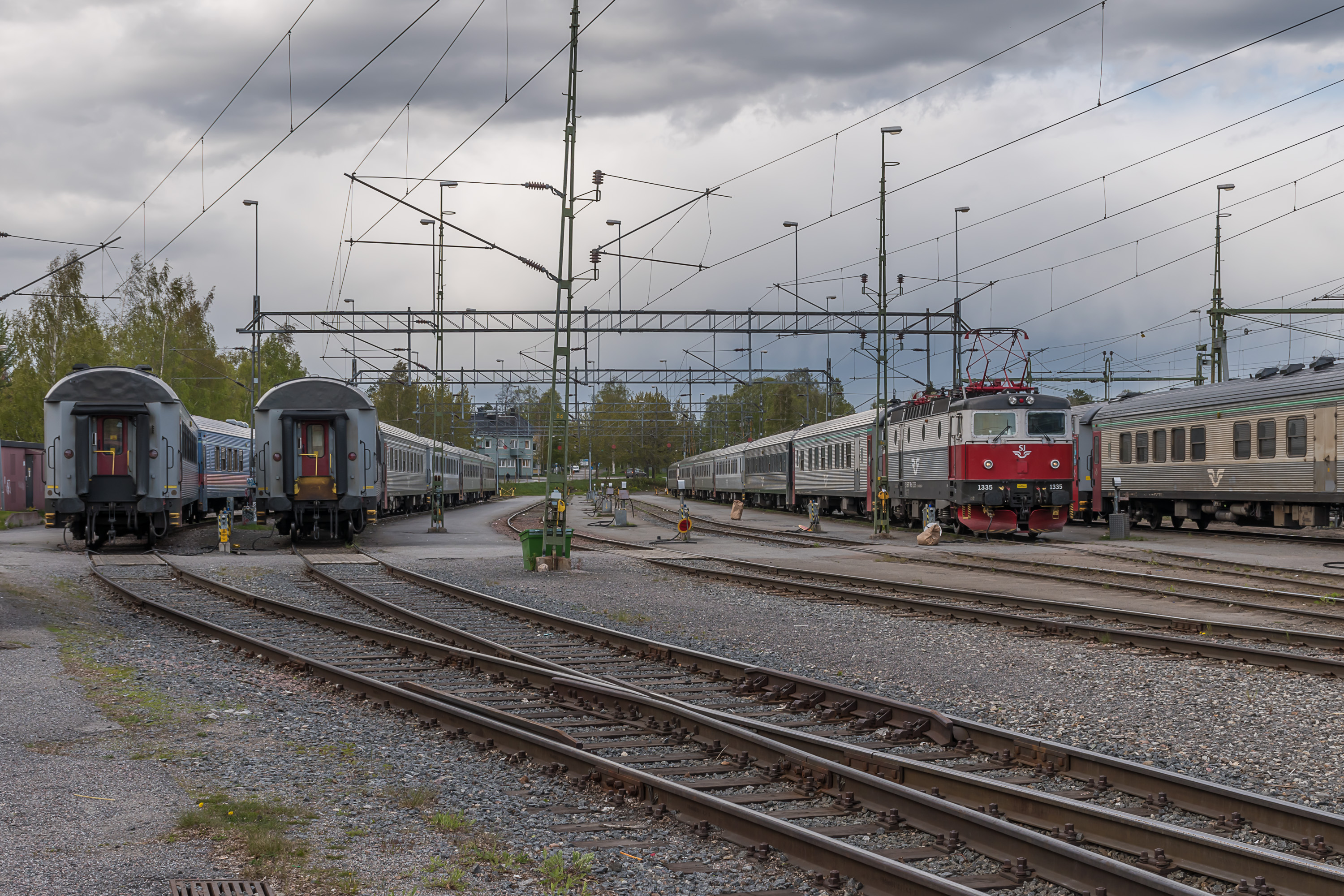
39. Houses on the waterfront. Only a month ago there still was thick ice on the water.
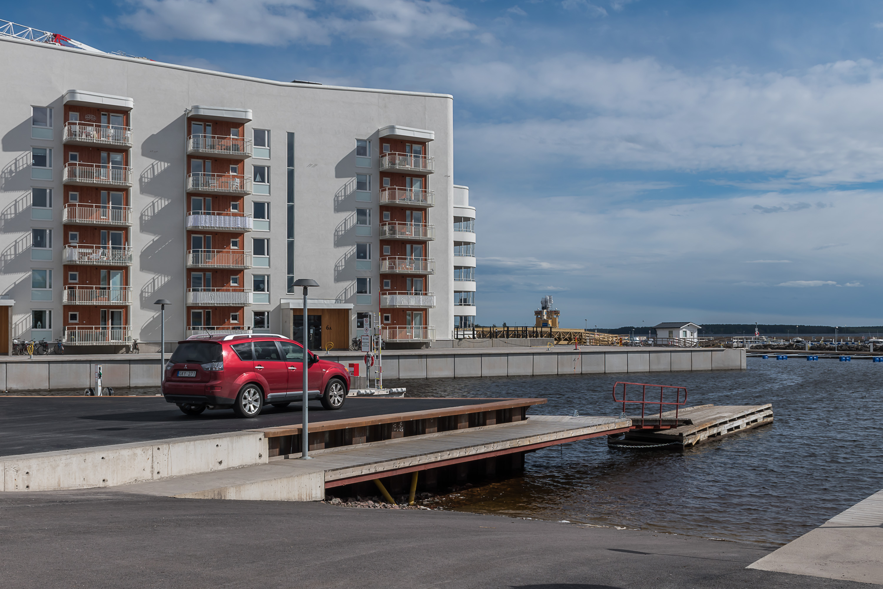
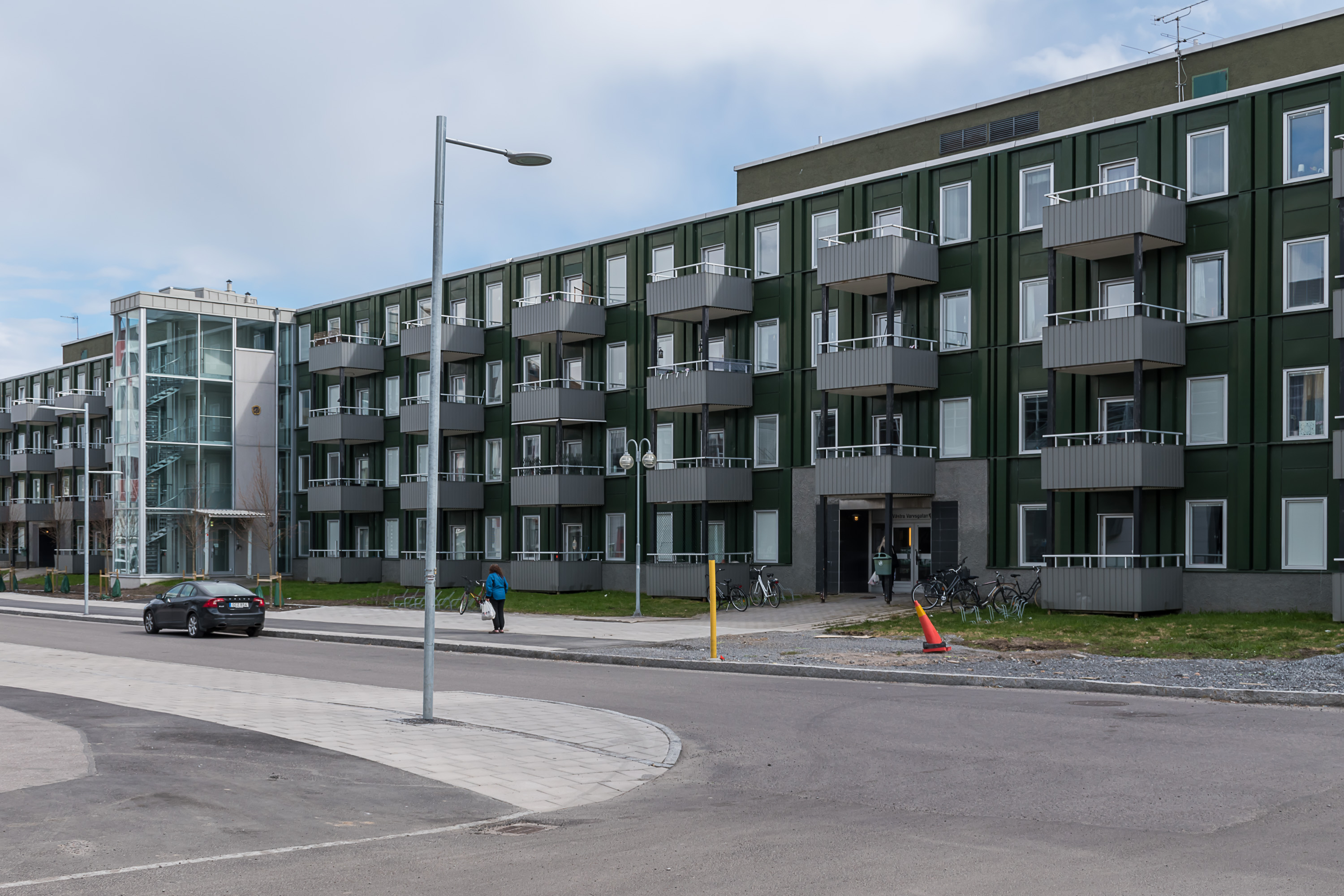
40. Newest apartment buildings look a bit nicer.
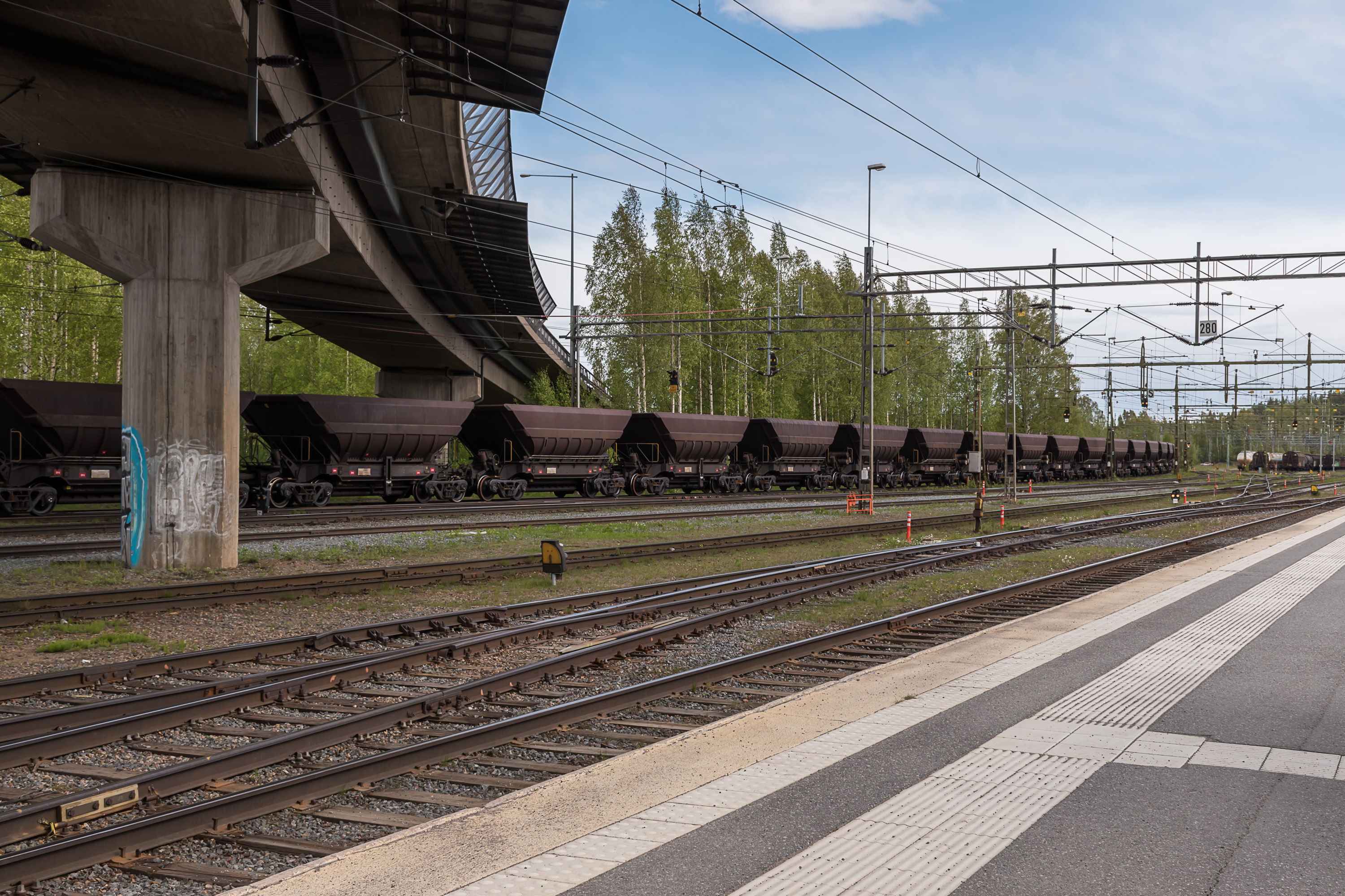
42. I didn't get to see the ore port, but this at least is an ore train. These characteristic ore cars are hauled by specially designed huge IORE engines along the entire Ore Railroad; they're an extremely common sight in Luleå, Gällivare, Kiruna and Narvik.

43. Luleå station is also the northernmost station along the Swedish coast where there are passenger trains. Just as I stepped on this curved station platform, I saw a sleeper train to Stockholm arriving. It was due to depart some time later, so no one was boarding it yet.

44. Night trains of SJ, the Swedish Railways, look rather boring and old. The color scheme is also oddly similar to Russian Railways. I cannot say anything about the inside though; I travelled on a sleeper train in Finland (and in Russia obviously) but not in Sweden. I'm very curious to try someday.
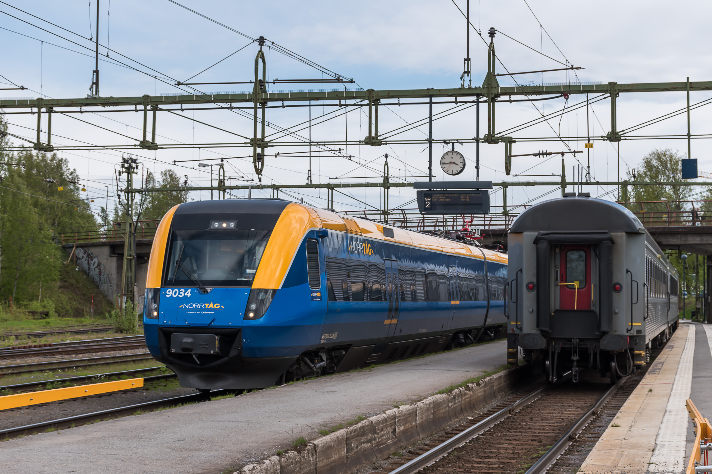
45. The other train here was a newer-looking regional train of Norrtåg. Railways were privatised in Sweden in the 1990s. Tracks are still mostly state owned, but traffic is operated by various companies. Among others there are multiple companies for regional trains, and Norrtåg (Northern Train) is one of them. It operates regional day trains in quite a big part of Norrland (North Sweden), from Sundsvall to Luleå, and inland towards along the Ore Railroad and Middle Railroad (Mittbanan). I believe their trains stop short of Norwegian border though. I have no personal experience with these trains either, but I quite like how relatively accessible Norrland is by train, compared to North Finland.
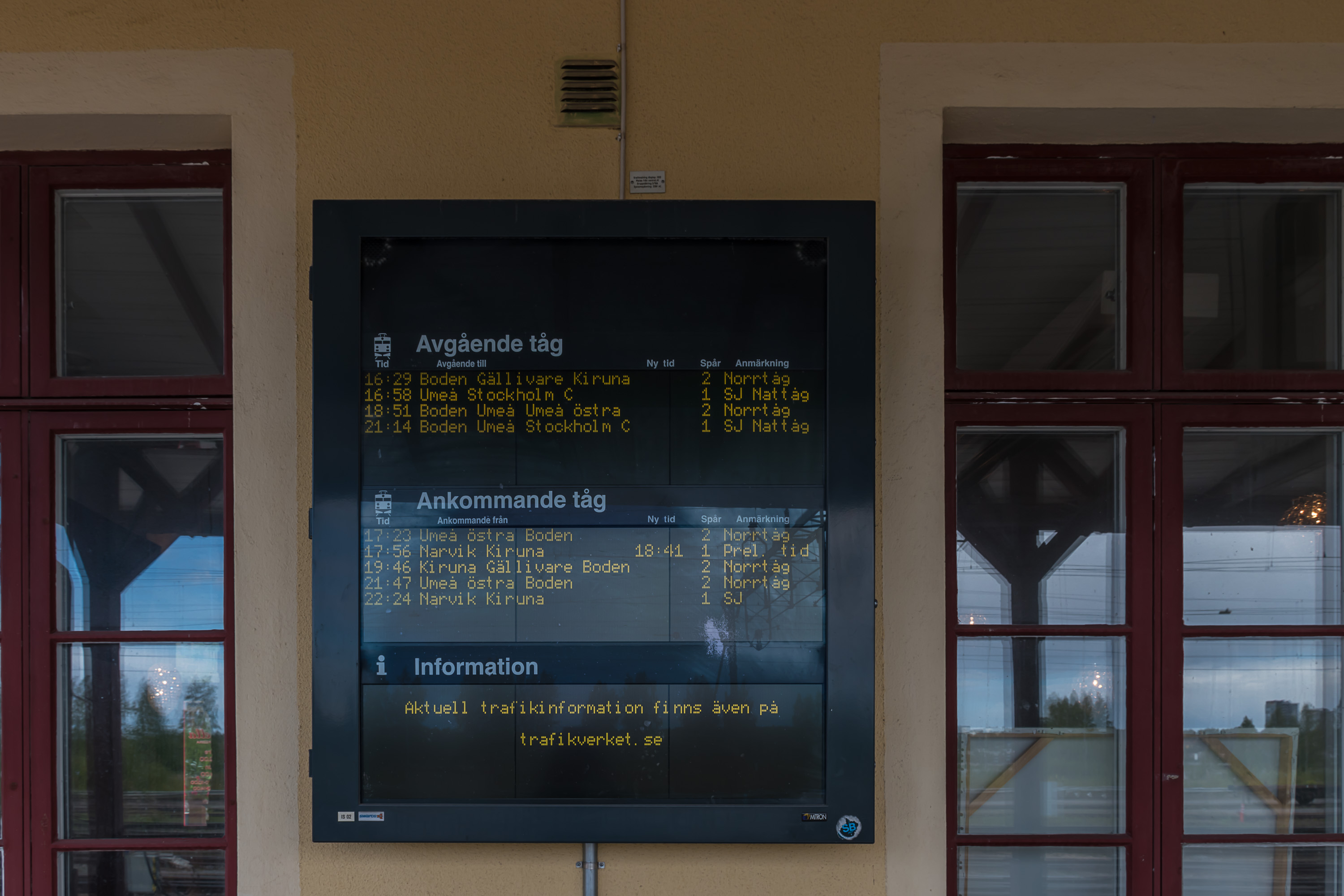
46. Train timetable.
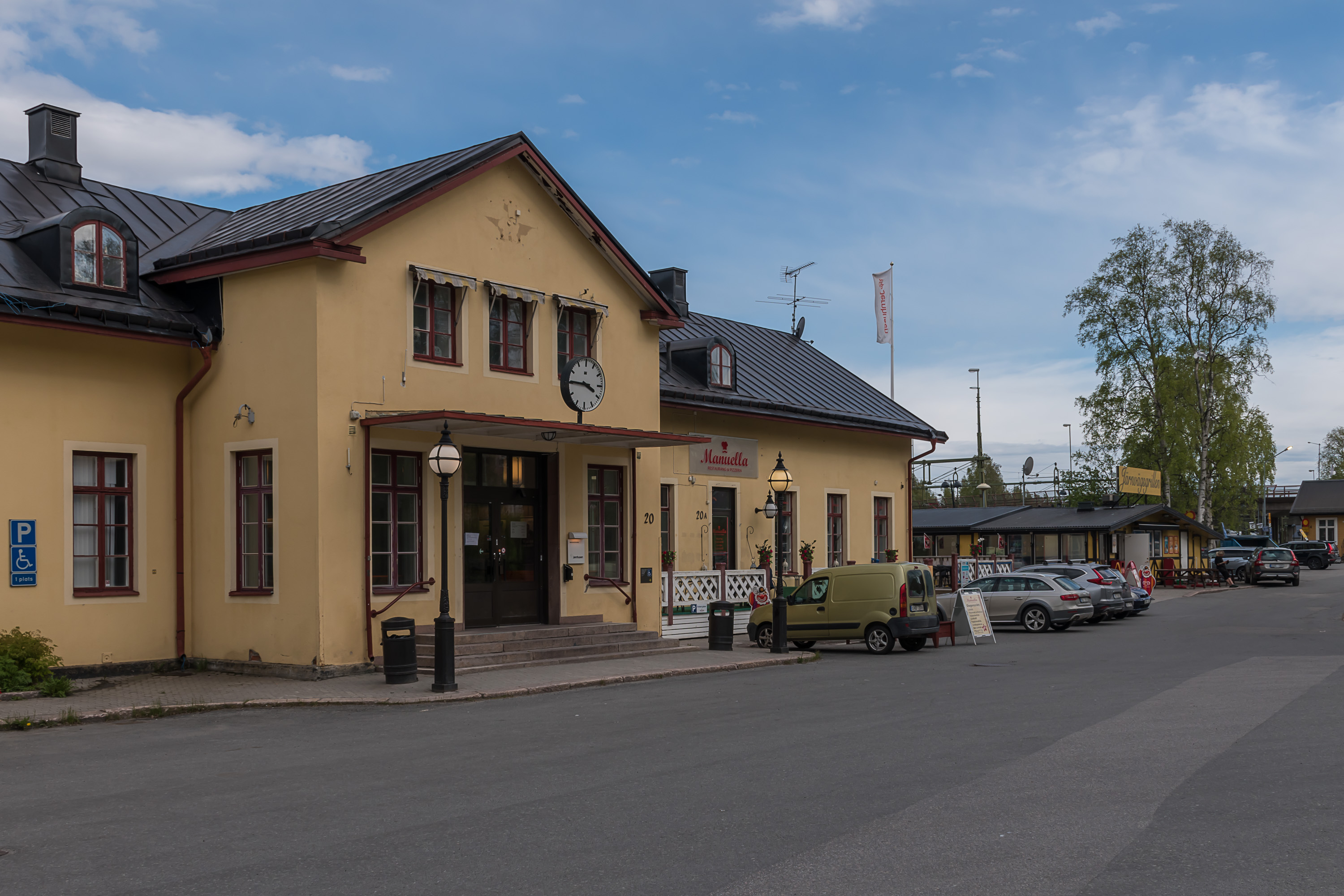
47. Small and cramped station building. I don't know whey they removed the SJ logo from the top of it, you can still see its outline.

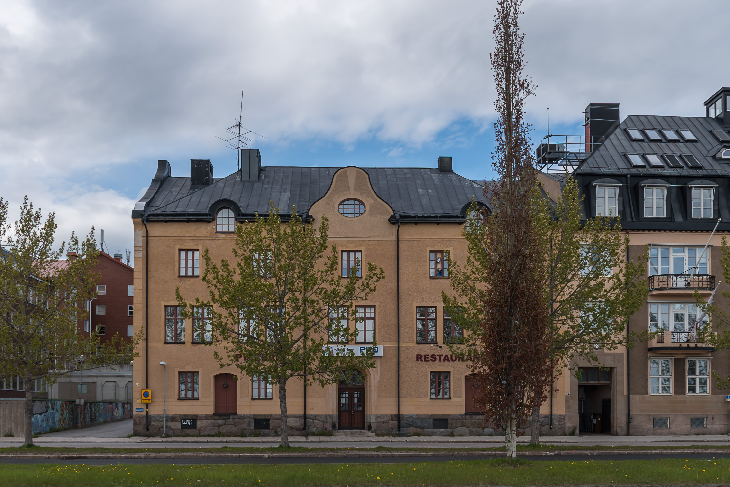
48. Old ore car next to the station.
49. Passenger car depot.
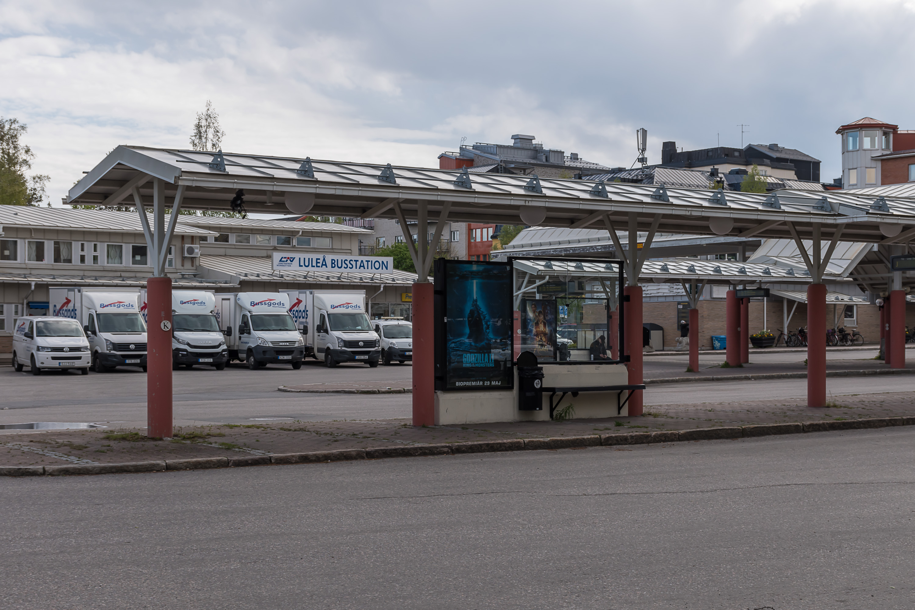
50. The bus station is very close to the railway station too.
51. Going back into the Luleå center.
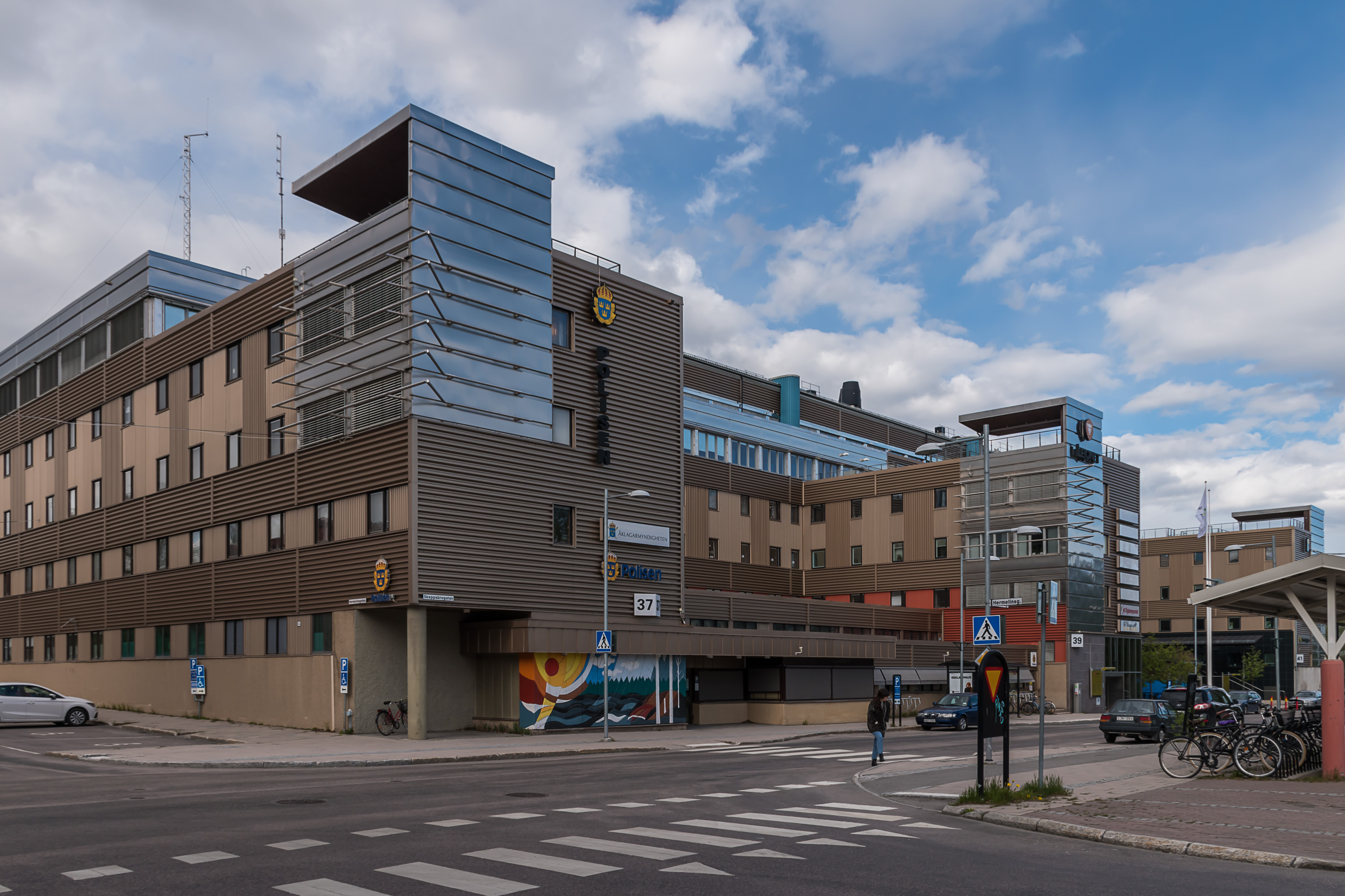
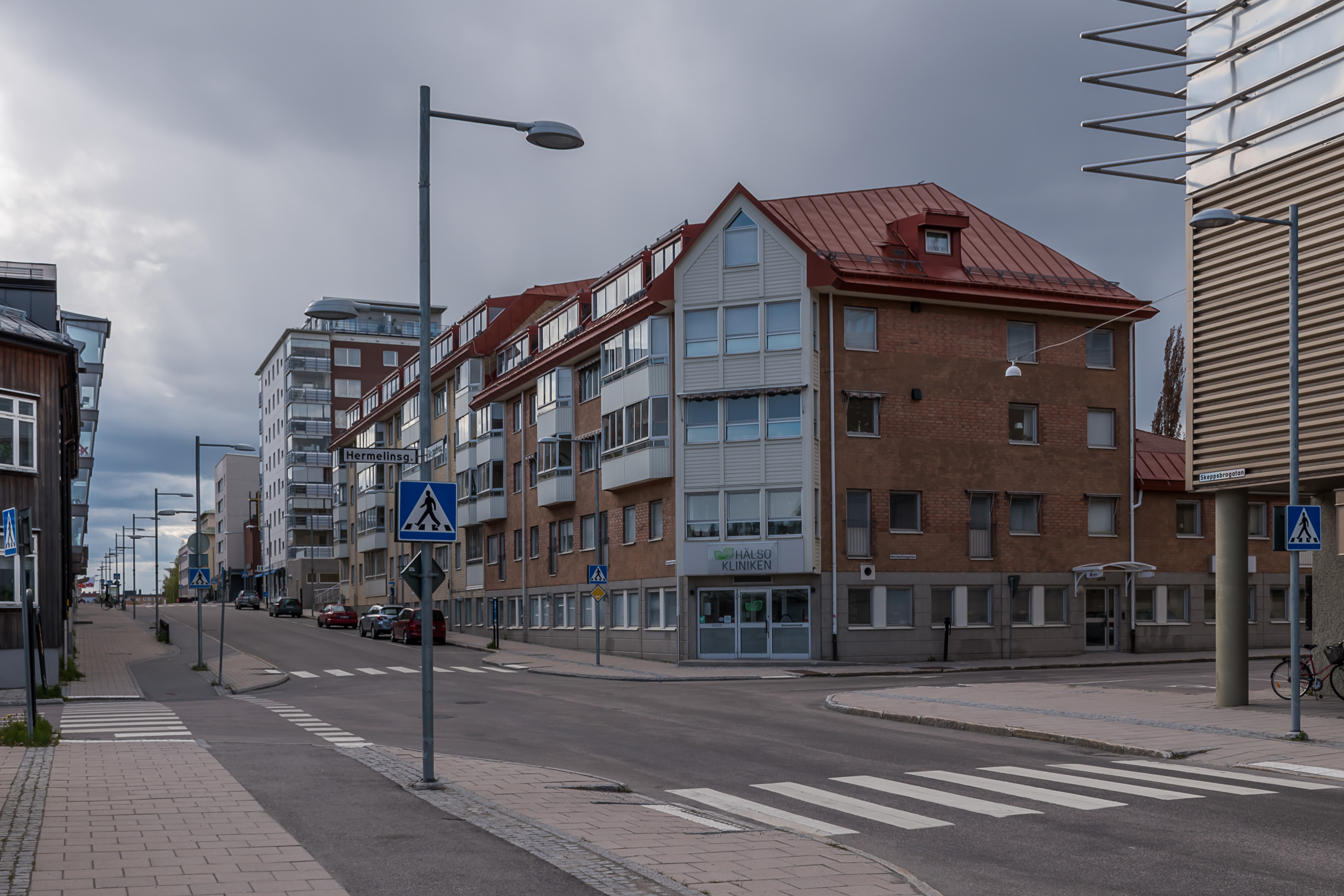
52. Police and court building.

53. A (mostly) pedestrial street in the center. The big dark building is a hotel.
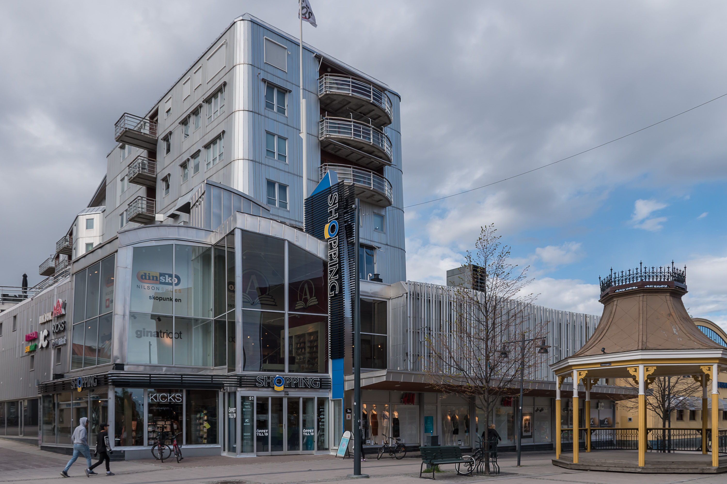
54. Shopping center, literally named "Shopping".

55. Bus stop in the center with an electronic timetable.
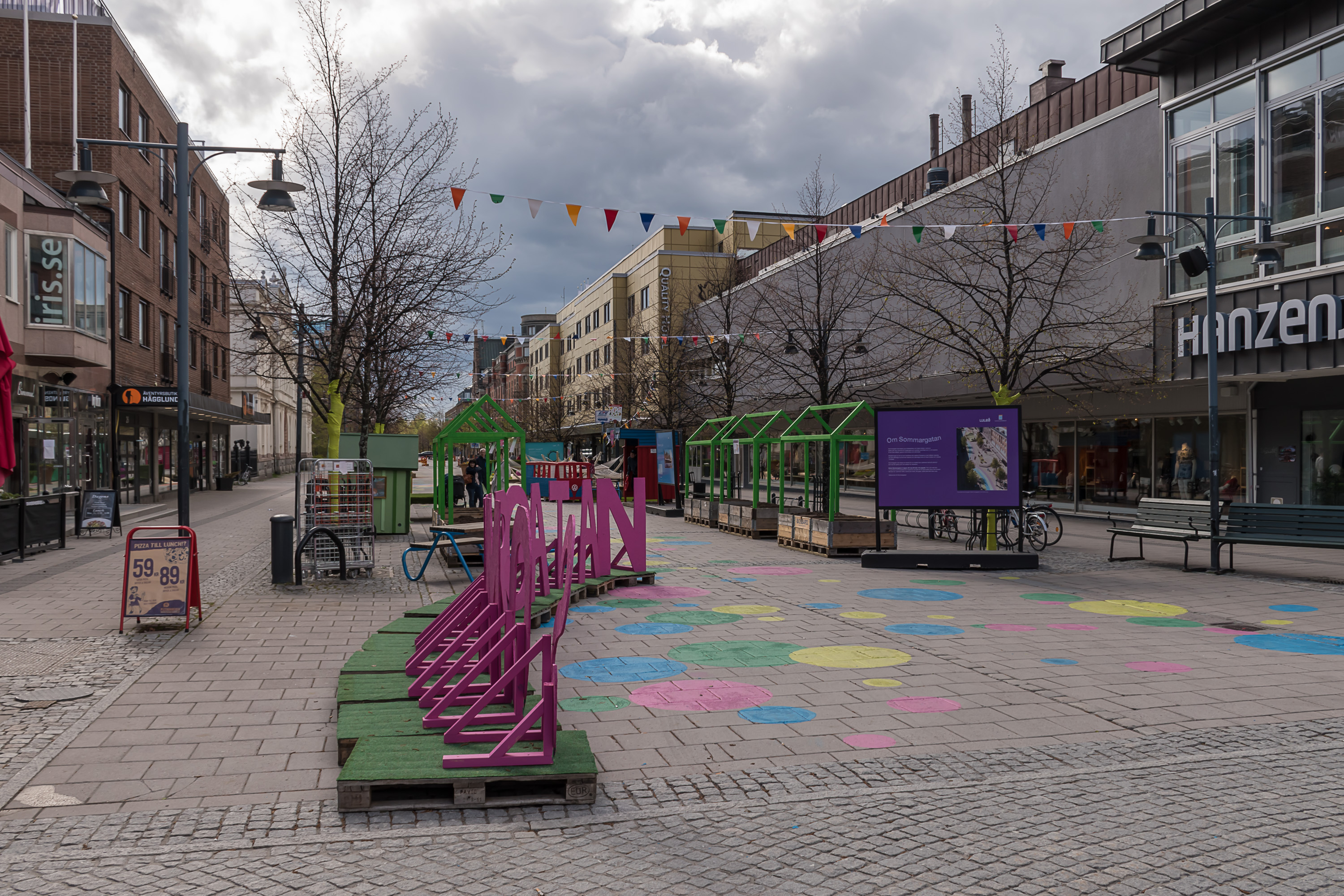
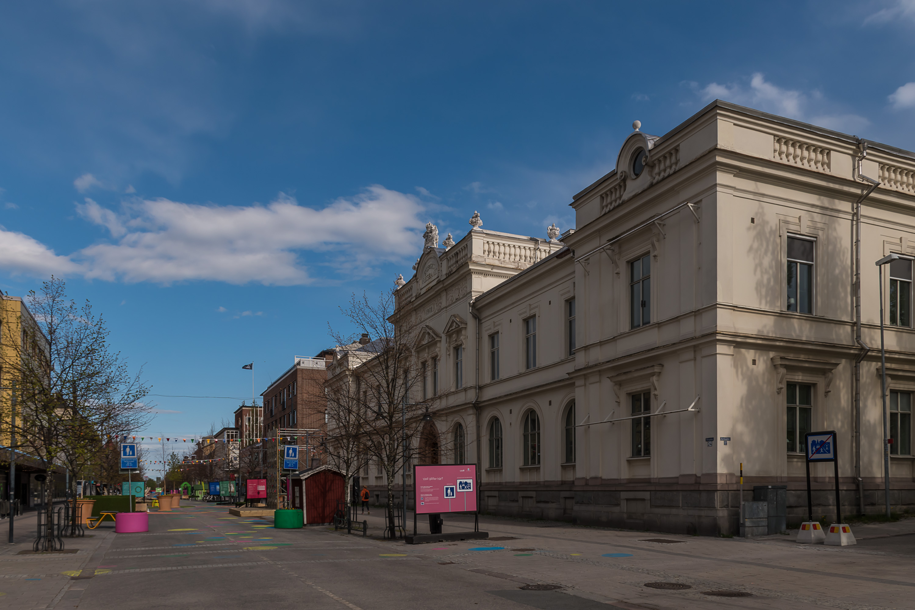
56. Pedestrian street.
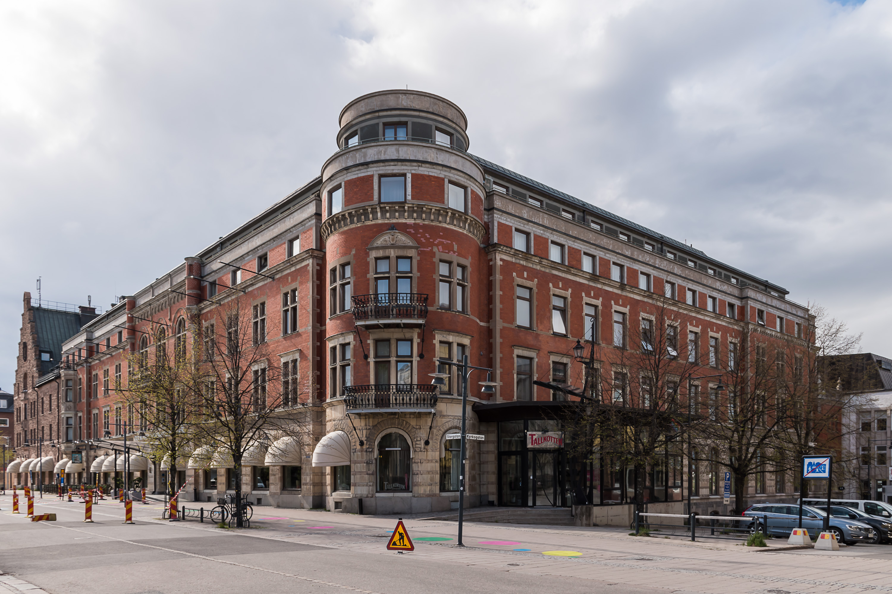
57. A big old hotel. Older buildings are concentrated in this ara.
58.
59.
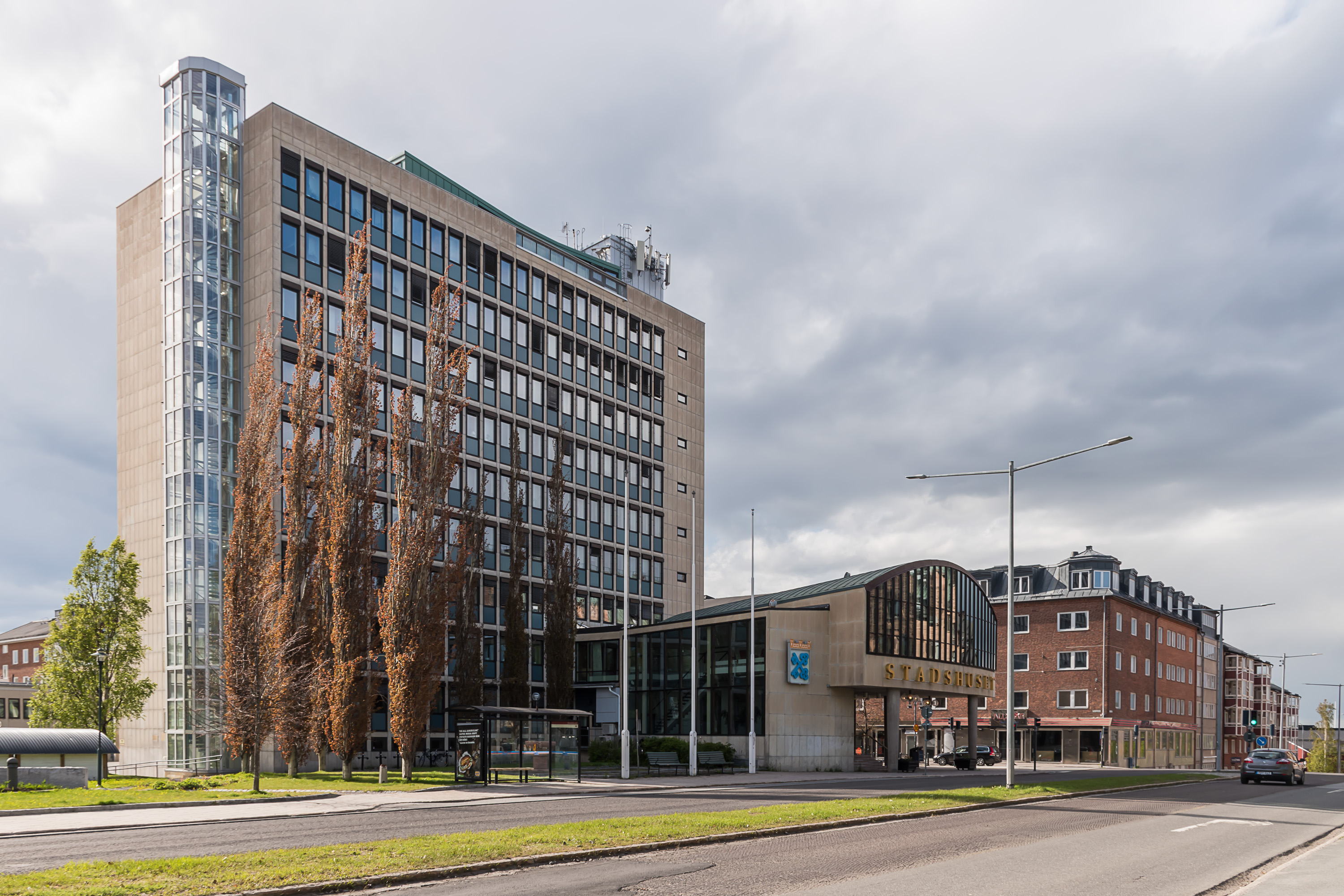
60. City administration. You can again see the coat of arms with crossed blue keys.
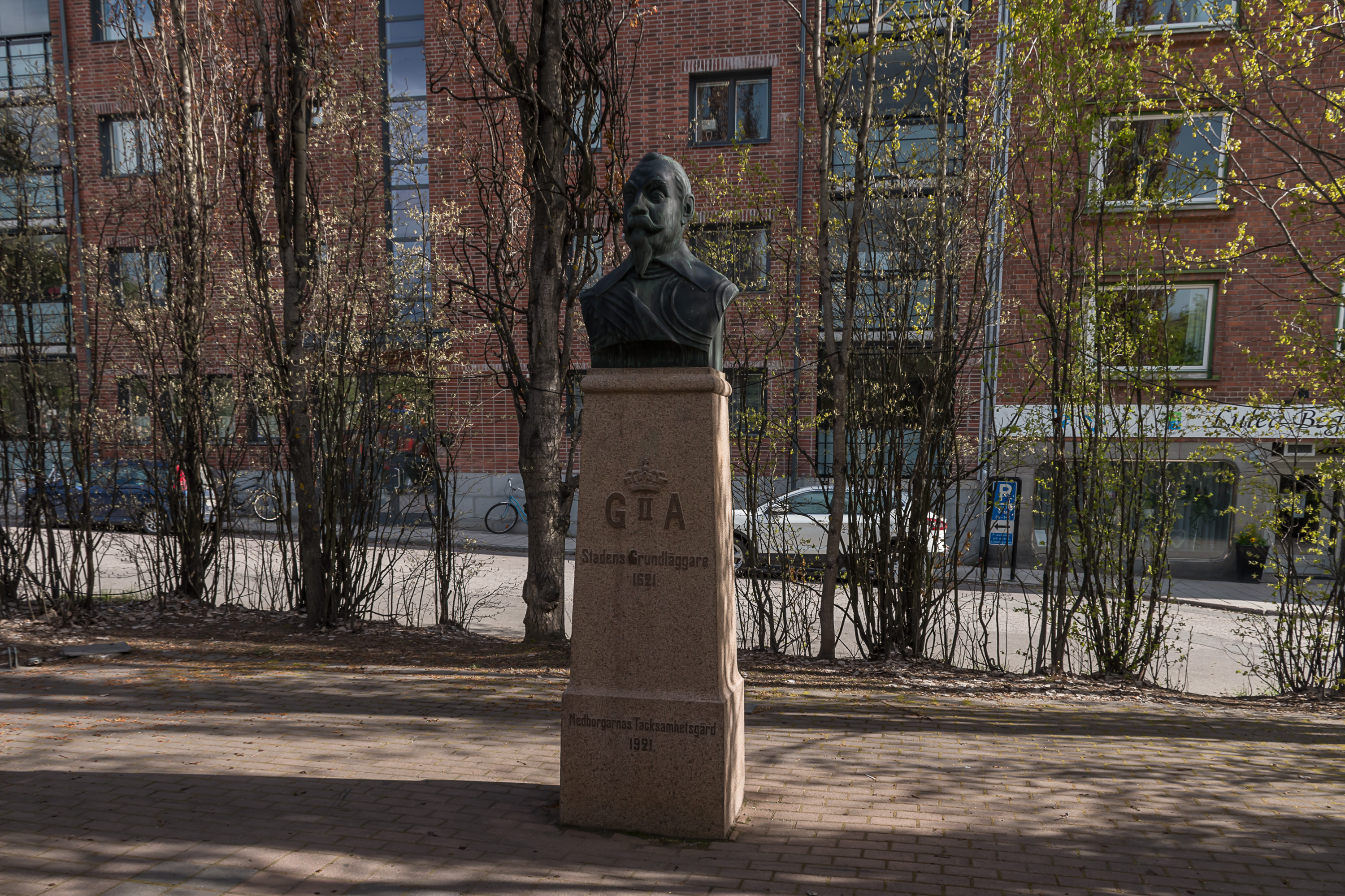
61. A small monument to King Gustav Adolf II, the founder of the city. He has a weirdly deranged expression here.
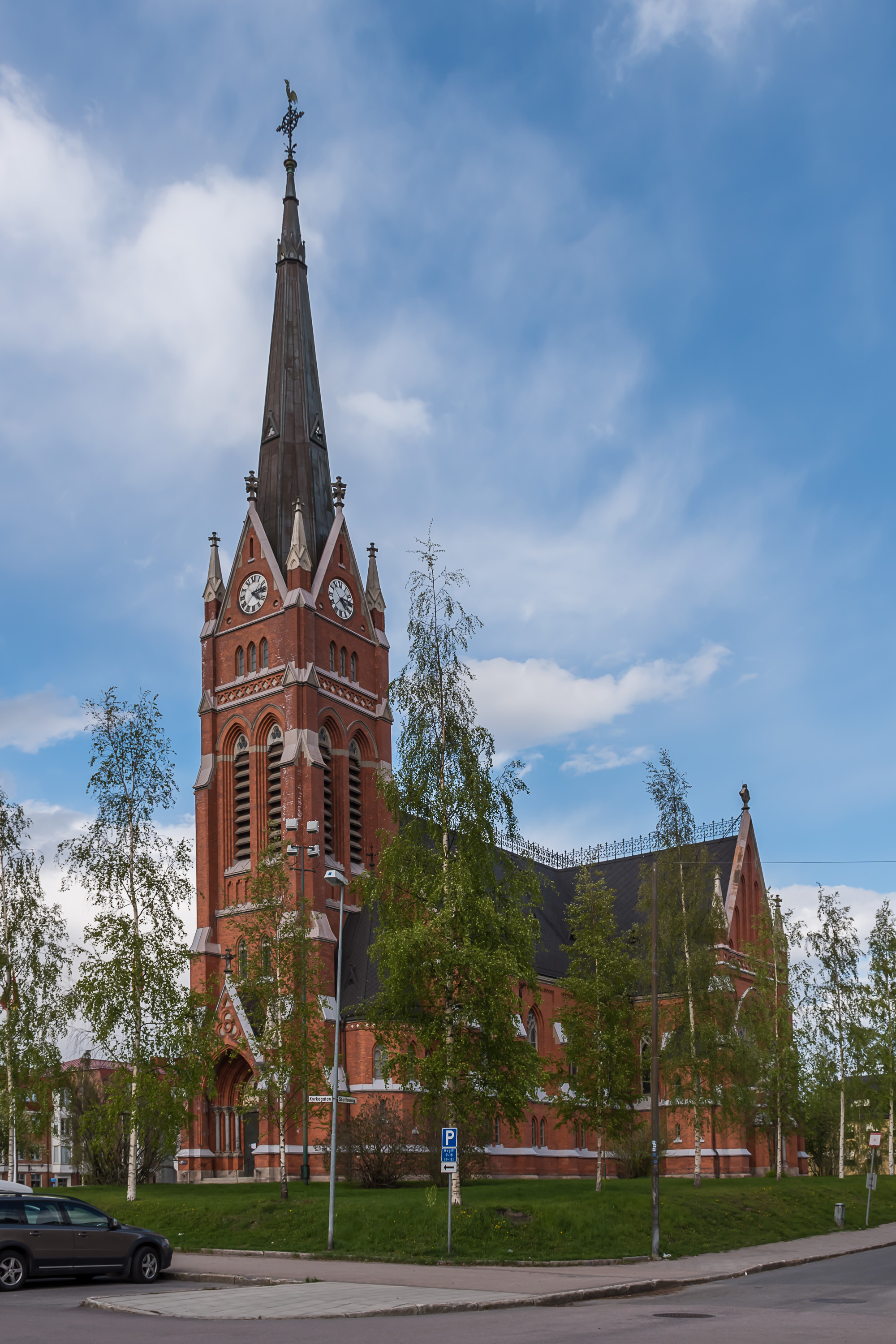
62. And the Luleå church from the 19th century. Quite nice although a bit generic looking, there are lots of such churches in Sweden and Finland alike.
That's all for Luleå proper. If you want to travel there and look it up online, you'll likely also find out something about Gammelstaden, the "old city" of Luleå. It's not exactly what you would expect to see in the "old city" but also a very curious place, curious enough that it was declared a UNESCO World Heritage site. I examined Gammelstaden as well and we'll see it in the next post.