Loviisa Coastal Fortress, also known as Degerby Fortress, is much less widely known than Svartholm (and Svartholm of course is probably not the best known fortress in general). This is easy to explain though; there's simply not much of a fortress. All that remains of the coastal fortress are two bastions, a few moats (including one big one in place of an unfinished bastion), and the garrison neighborhood of old wooden detached houses (likely actually dating from after the Loviisa Great Fire of 1855). Not much more existed in the better days of this fortress, although earthen ramparts were probably more recognizable.
Still, it could be fun to visit this part of Loviisa if you've got some time. Mind you, that won't take long. Loviisa town has actually created an easy 2 km long walking route in the area of the former fortress, with insightful information signs (with English translations! Yay!). It's called Ehrensvärdinpolku (Finn. Ehrensvärd's Trail), after the principal designer of the fortress back in the 18th century. There's a map available on the town's website, although you won't really need it except to find the start location.
1. The route (the full route; there are even shorter variants) officially begins near the town sports center. There's a parking lot there; alternately, it's about a 20 minutes walk from the city center. Of course since the route is circular you can really start from wherever you want.
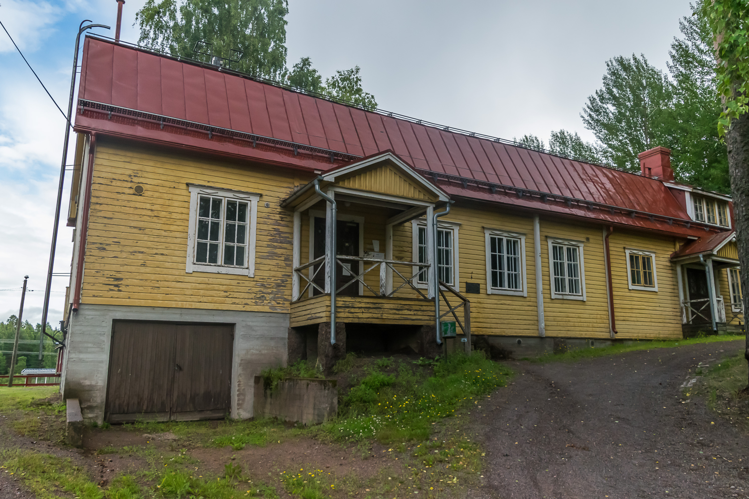
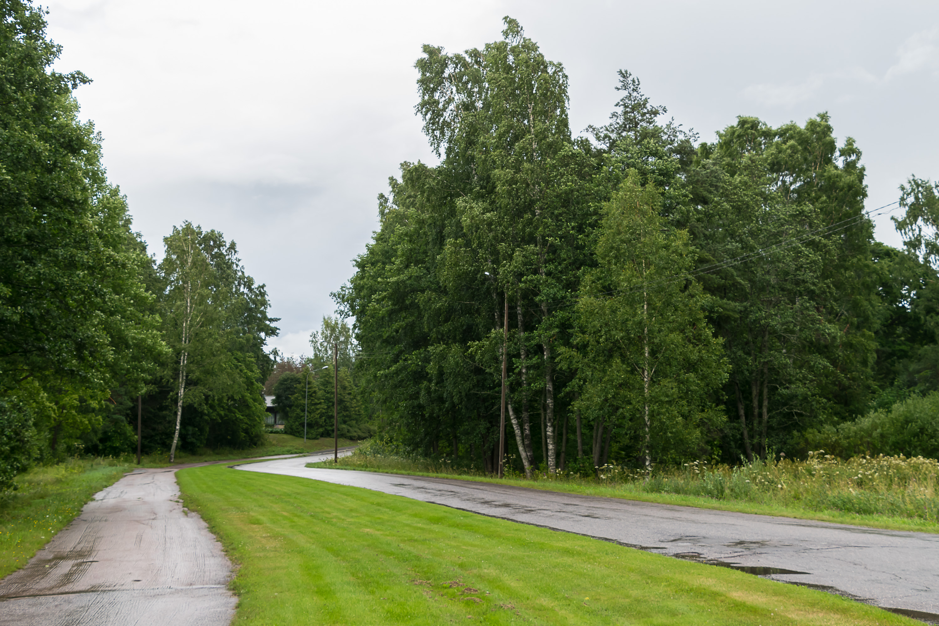
The very first sign is not very clear; you need to walk to the right in front of this house, not behind the house. I didn't realize that and ended up missing a small part of the trail (through Hagalund Forest) so I made sure to check it out at the end. I don't remember exactly but I believe this house actually used to be the local Lotta Svärd headquarters back in the day.
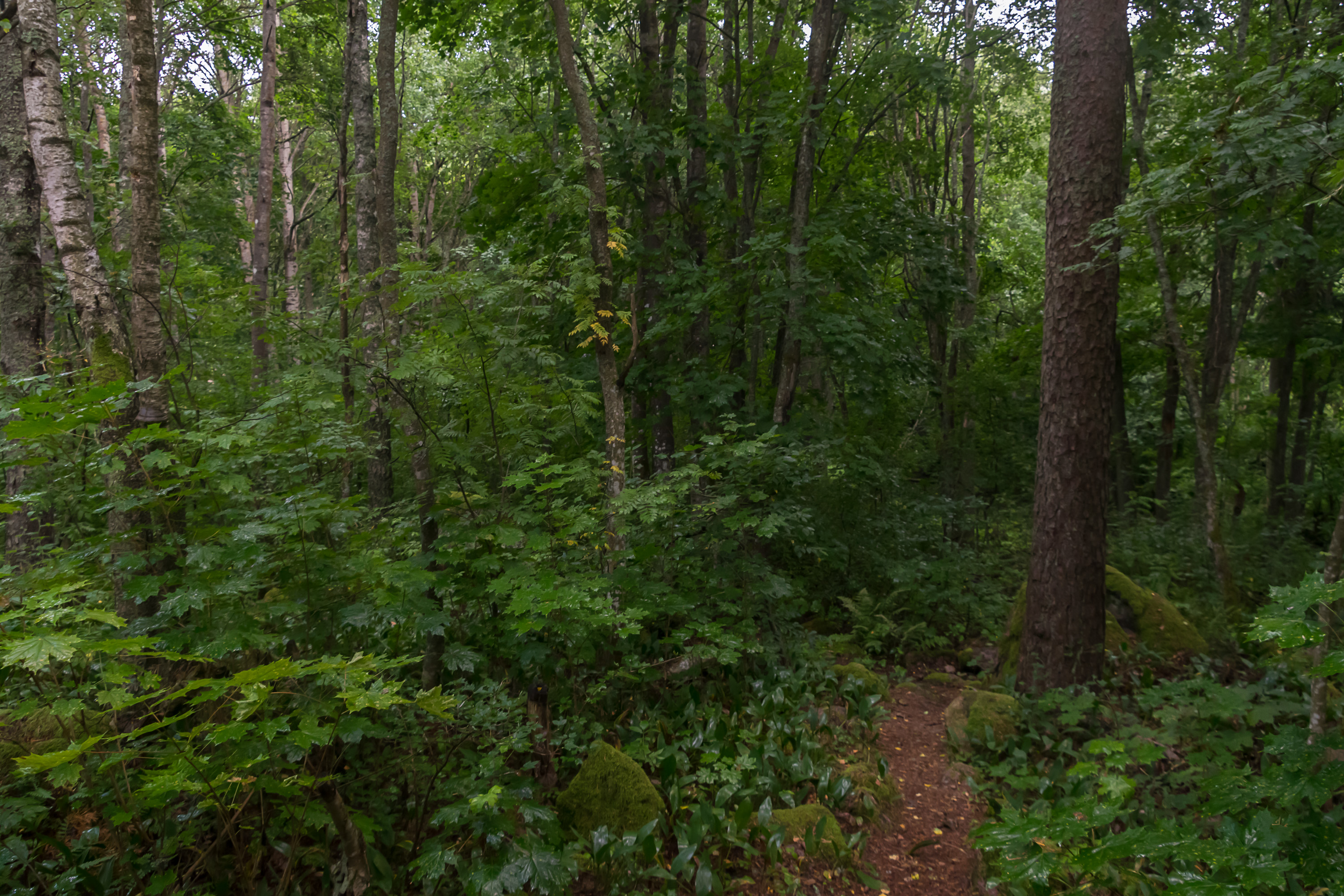
2. The forest itself is the first sight. First, it is a protected natural area, with thick undergrowth (and yummy wild strawberries! I brought a handful back home for my rabbit) and some deciduous trees uncommon in Finland. In particular there are maples (you can see some on the picture) which occur in Finland usually as lone trees and rarely form forests.
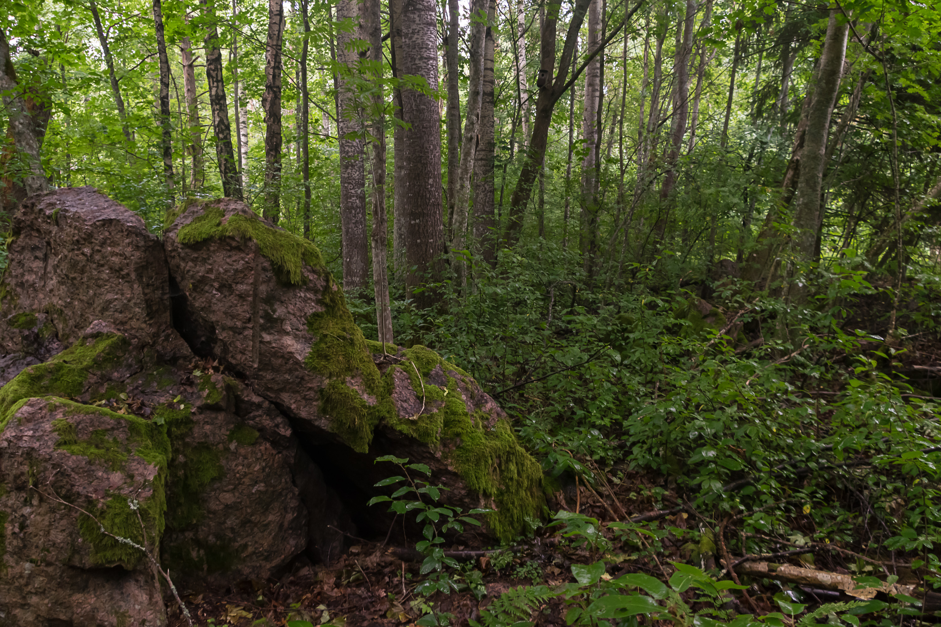
3. Some of the rock used for Loviisa fortresses construction was also mined right here in Hagalund Forest. Loviisa marks the westernmost boundary of the distribution of rapakivi, red Karelian granite variety commonly used in construction in Finland and St. Petersburg.

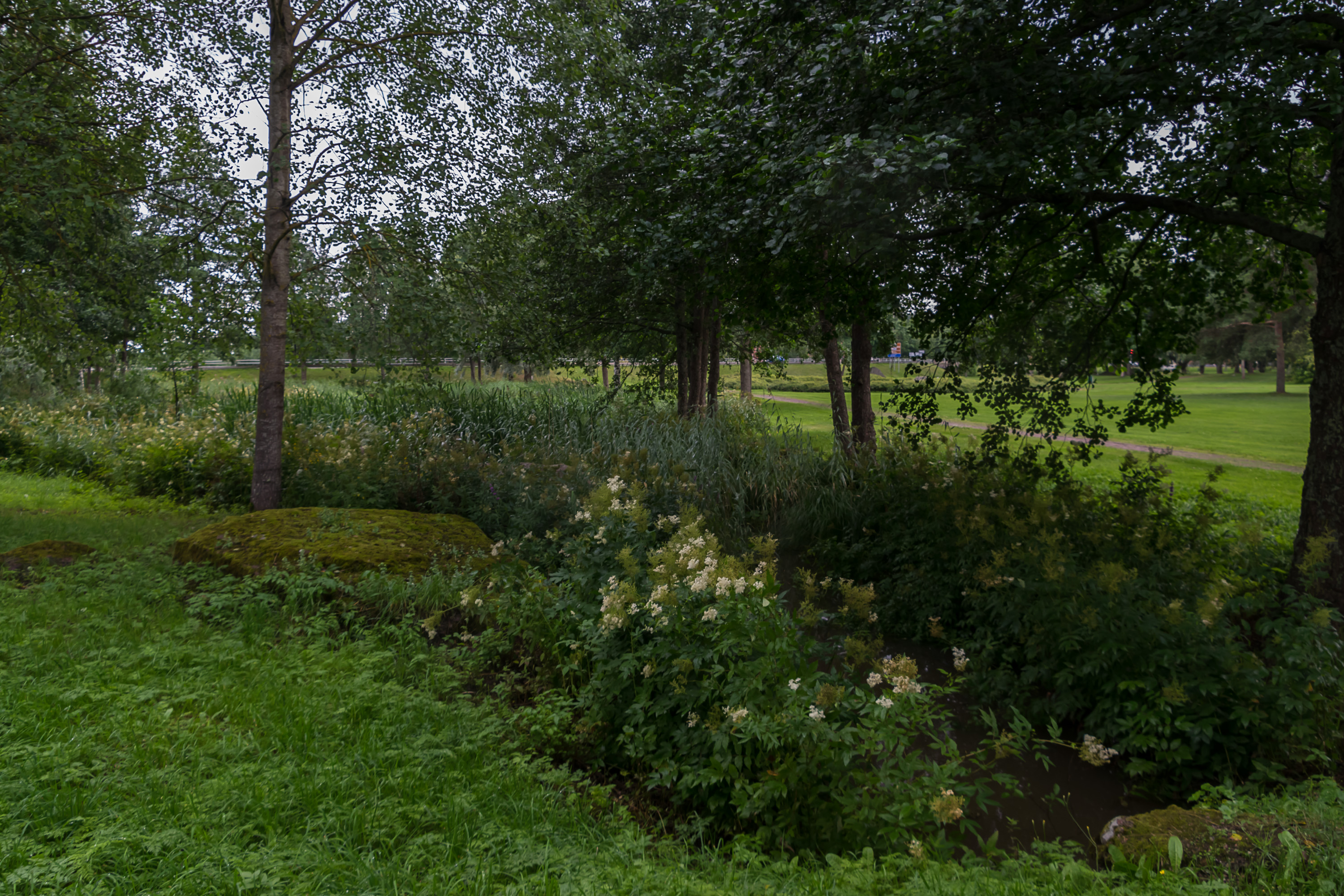
4. A huge greater-than-sign-shaped depression in the ground in the woods marks the place where Adolf Frederick Bastion was supposed to be constructed. It was to be one of the bastions of the inner coastal fortress. The construction never started, and for the last 250 years or so there's simply a pit where the bastion's foundations were supposed to be laid. The pit is partially flooded and henceforth the failed bastion is more commonly known as Kuninkaanlampi (Finn. King's Pond).

5. The part of Kuninkaanlampi Pond facing the residential area.

6. The area is full of beautiful wooden villas but let's not stray from the trail too much.
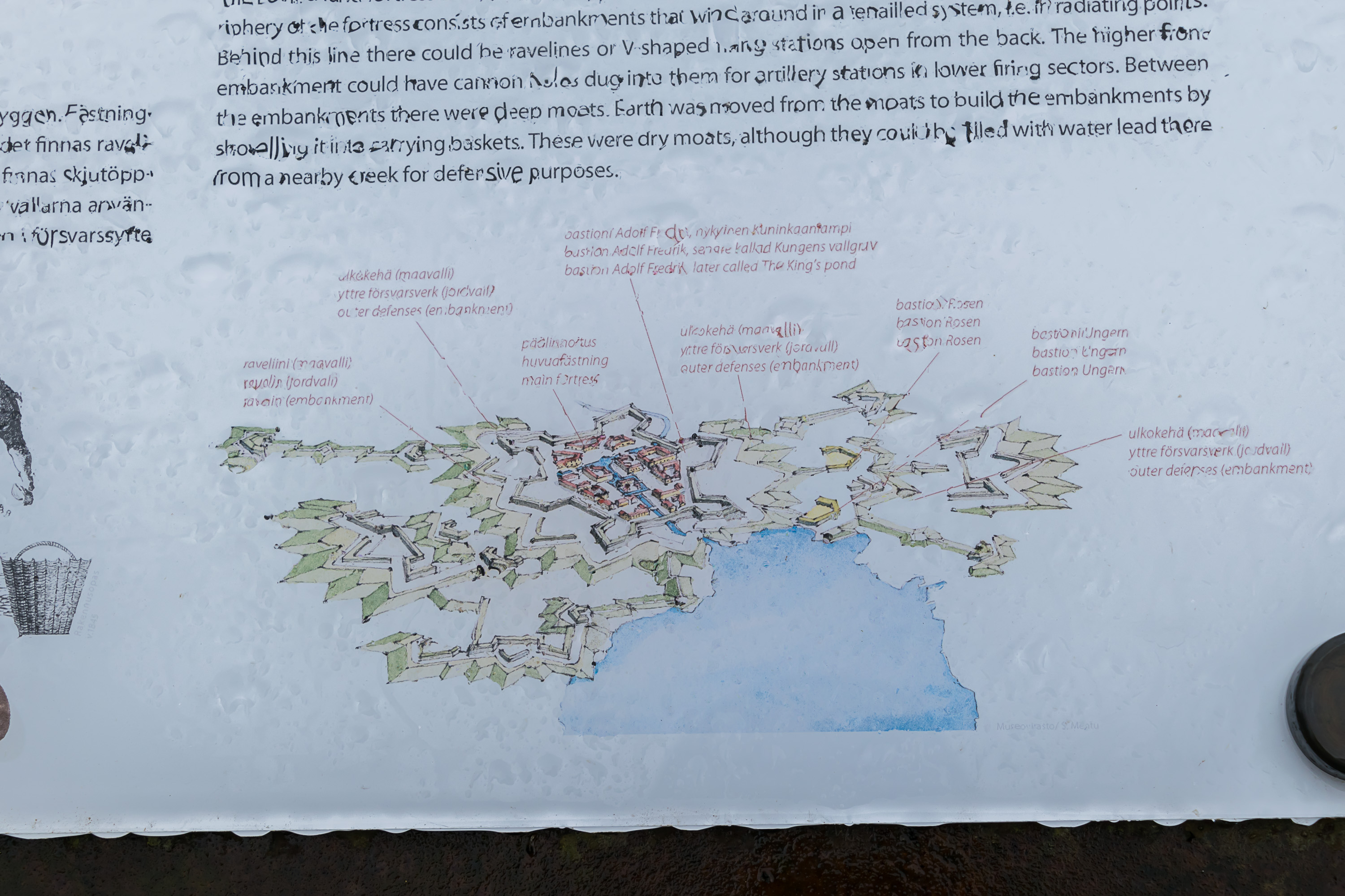
7. This sign (yes, it was still raining) shows the supposed plan for the complete fortress. Most of the fortifications (apart from earthen ones) were never built. The sign also makes clear that the fortress is located right at the bottom of Loviisanlahti Bay.
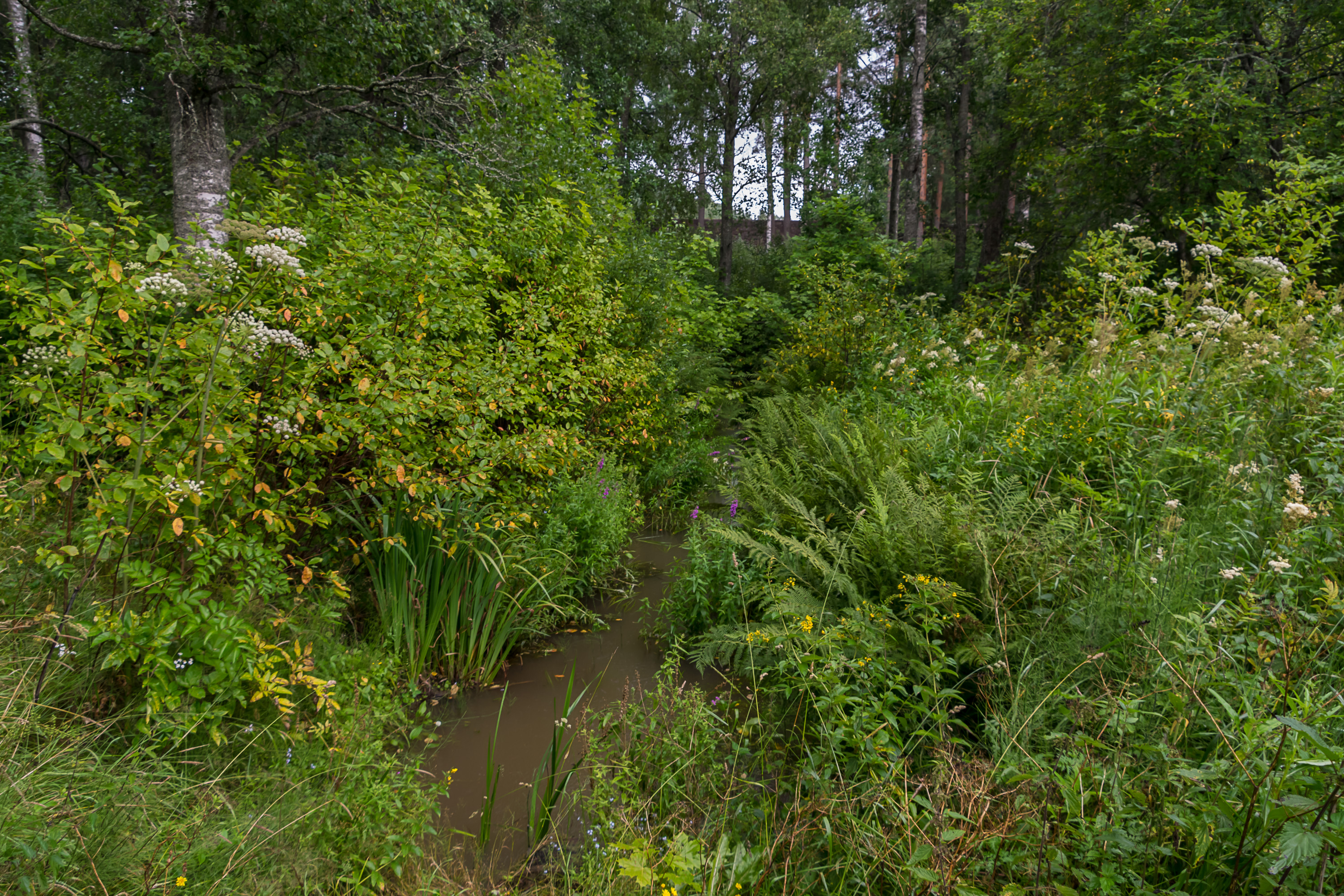
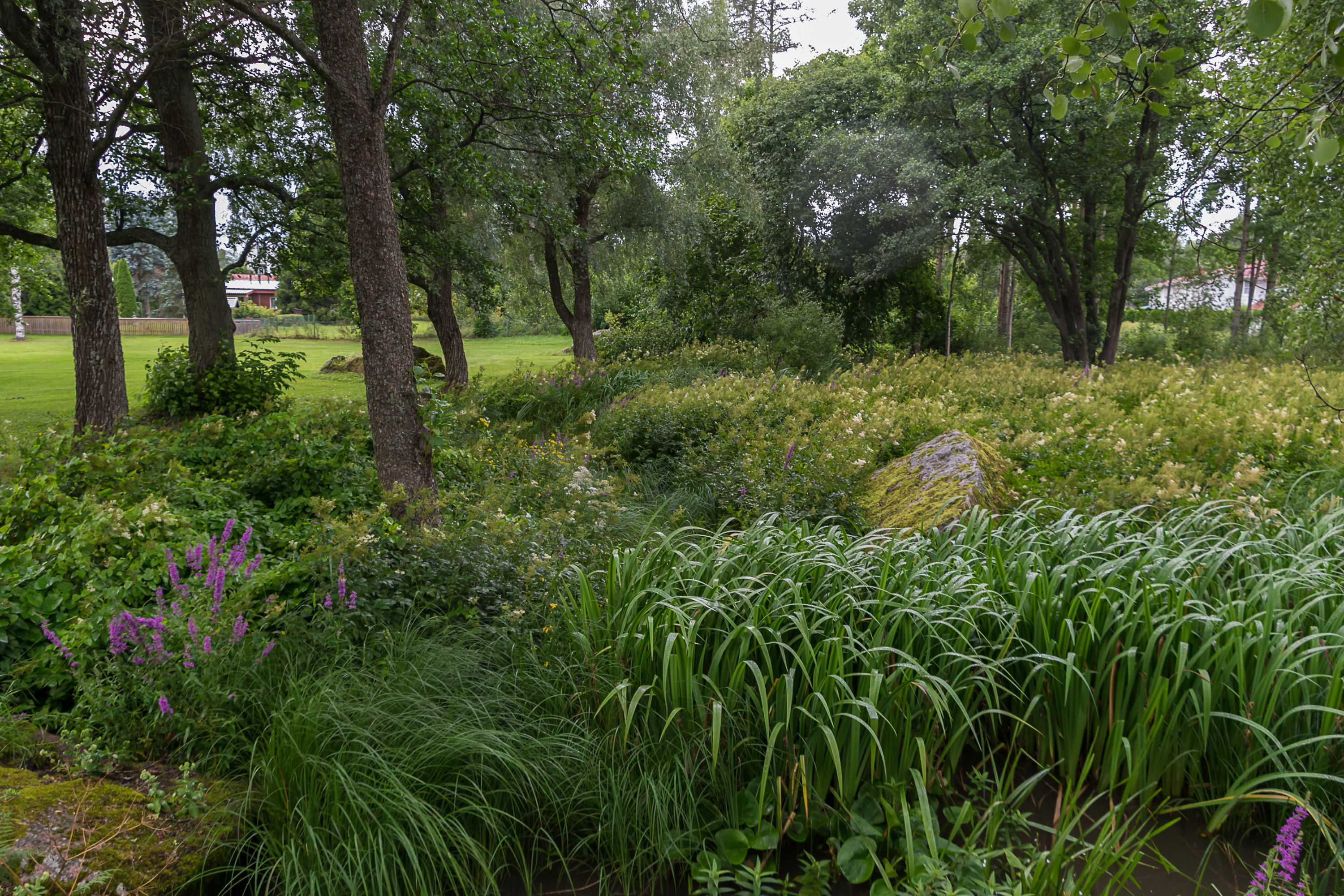
8. Some flooded moats are still discernible in the forest. There should be some earthen ramparts too but I didn't really notice any.
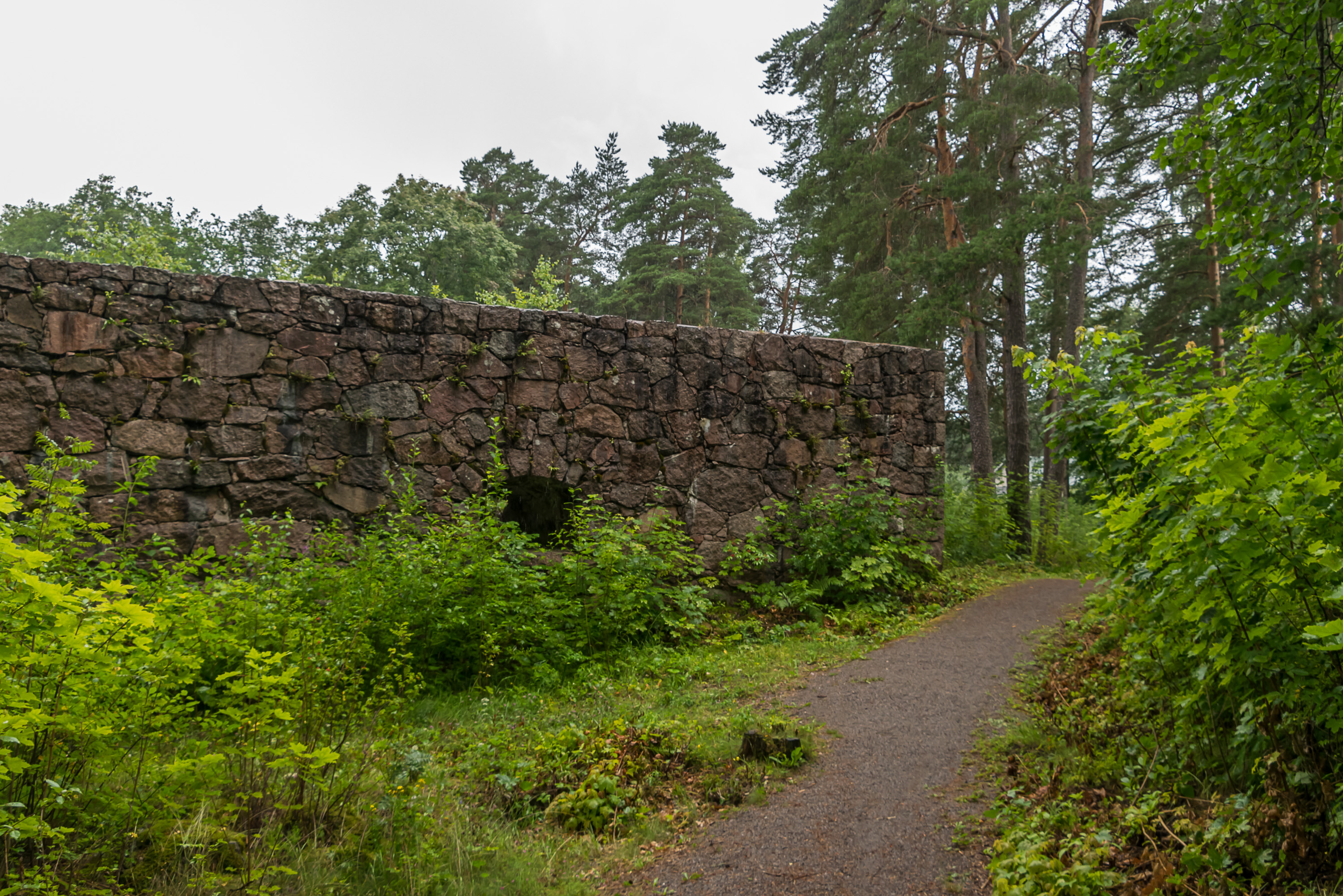
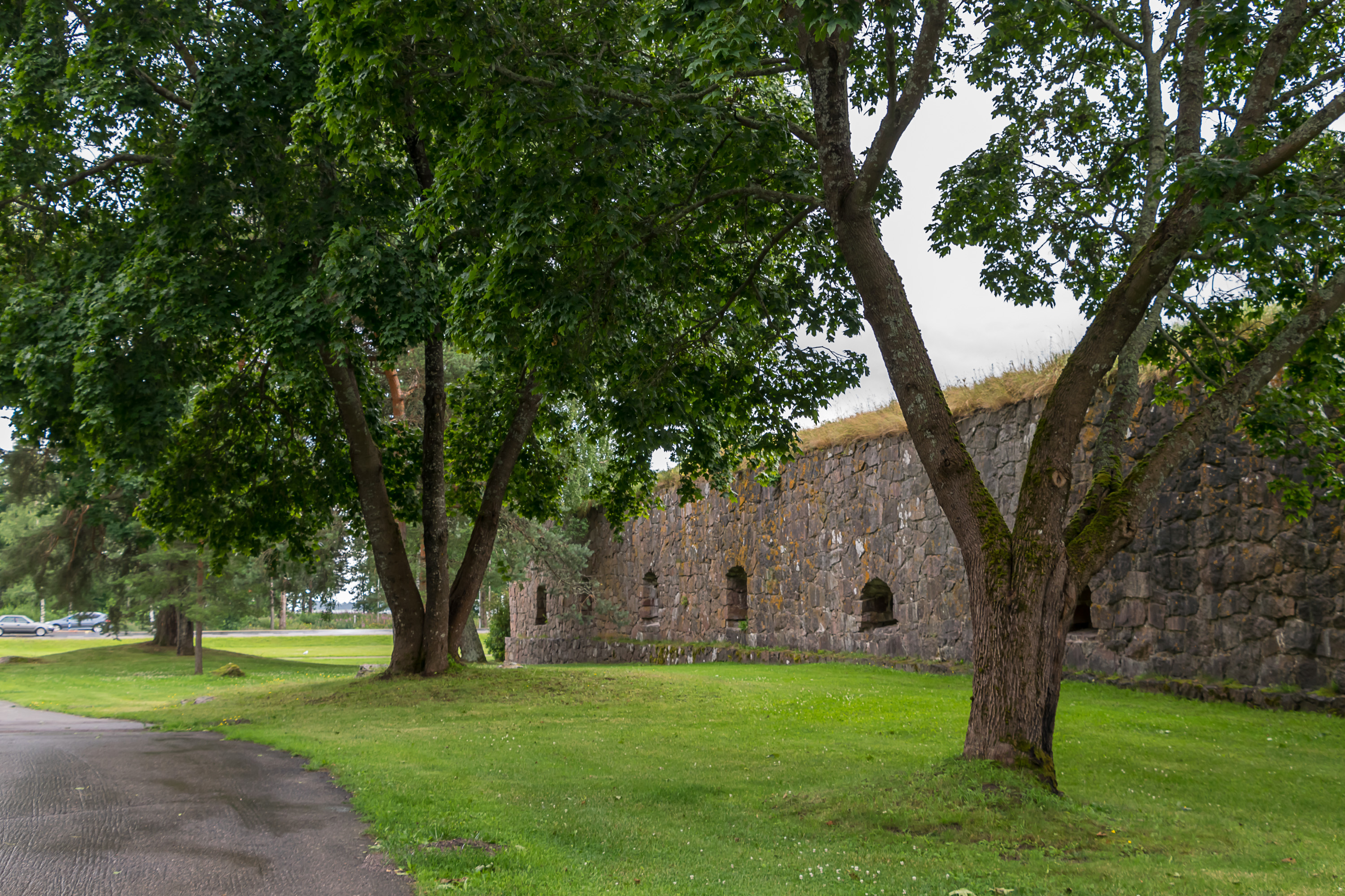
9. And here we are stepping out of the forest towards one of the only two existing bastions of the fortress. This bastion (the northern one) is named Rosen.
10. Rosen Bastion is ruined.
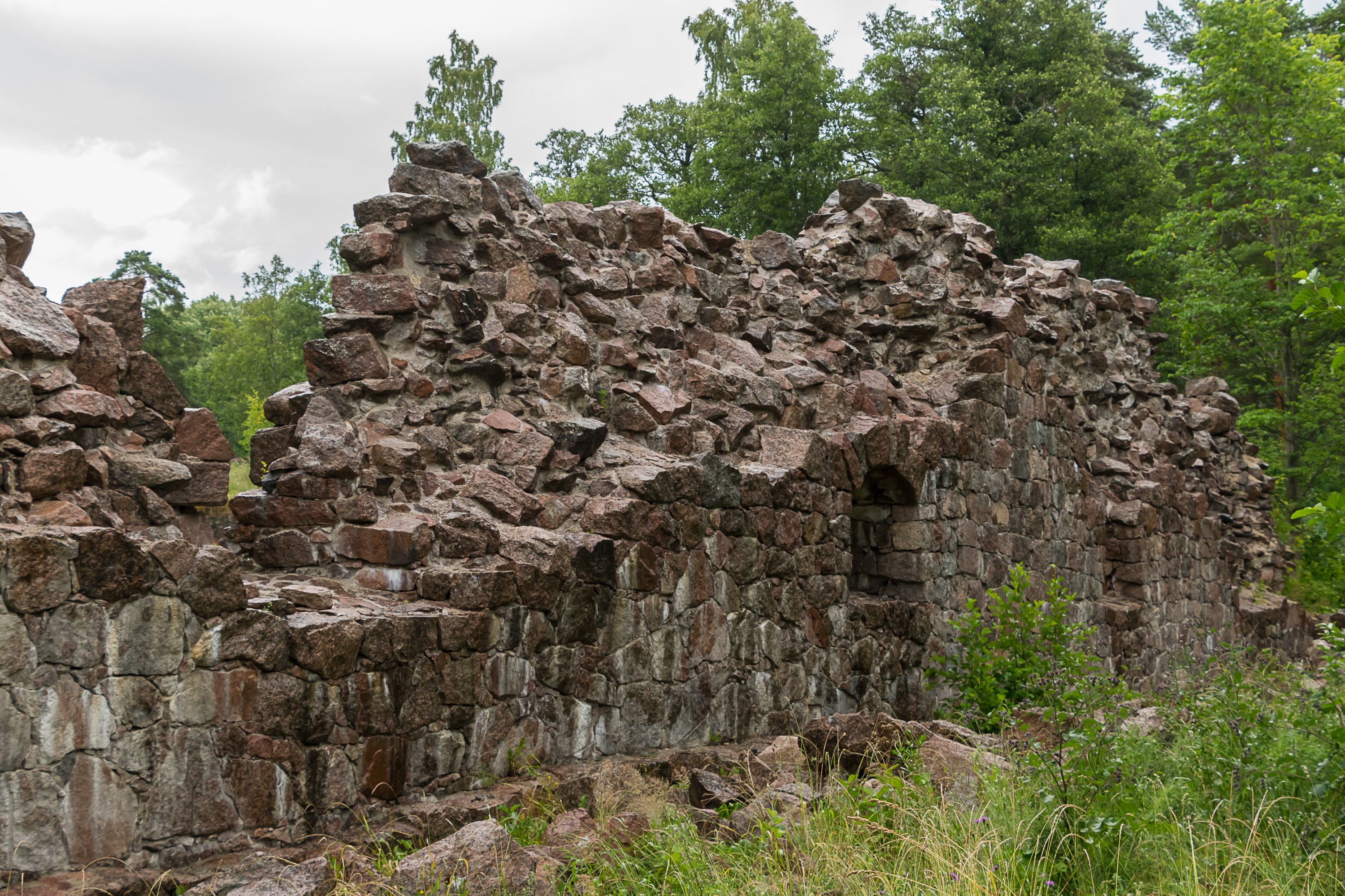
11. Most of the walls are still in place though.
12. The bastions are flanking a small street. It doesn't go exactly in the middle between them so it isn't obvious that this location was chosen on purpose, and the street is actually a section of the ancient King's Road (Kuninkaantie). It was the only road from Turku all the way to Vyborg, and the bastions were supposed to safeguard it at the border of the realm. The modern European Route E18 goes through roughly the same areas but of course the alignment was changed and the road was rebuilt many times over. Many section of the original King's Road still exist in some shape like this one; of course, they are mostly paved these days. The longest section is the museum road Hamina — Virojoki (Road 3513), 35 km long.
A tourist route named Kuninkaantie (and signposted with signs with yellow crown) also exists from Turku to the Russian border, one of the most visible Finnish tourist routes. It follows the old road whenever feasible, and there is quite a lot of minor sights along it. Loviisa coastal fortress is one of them, in fact.
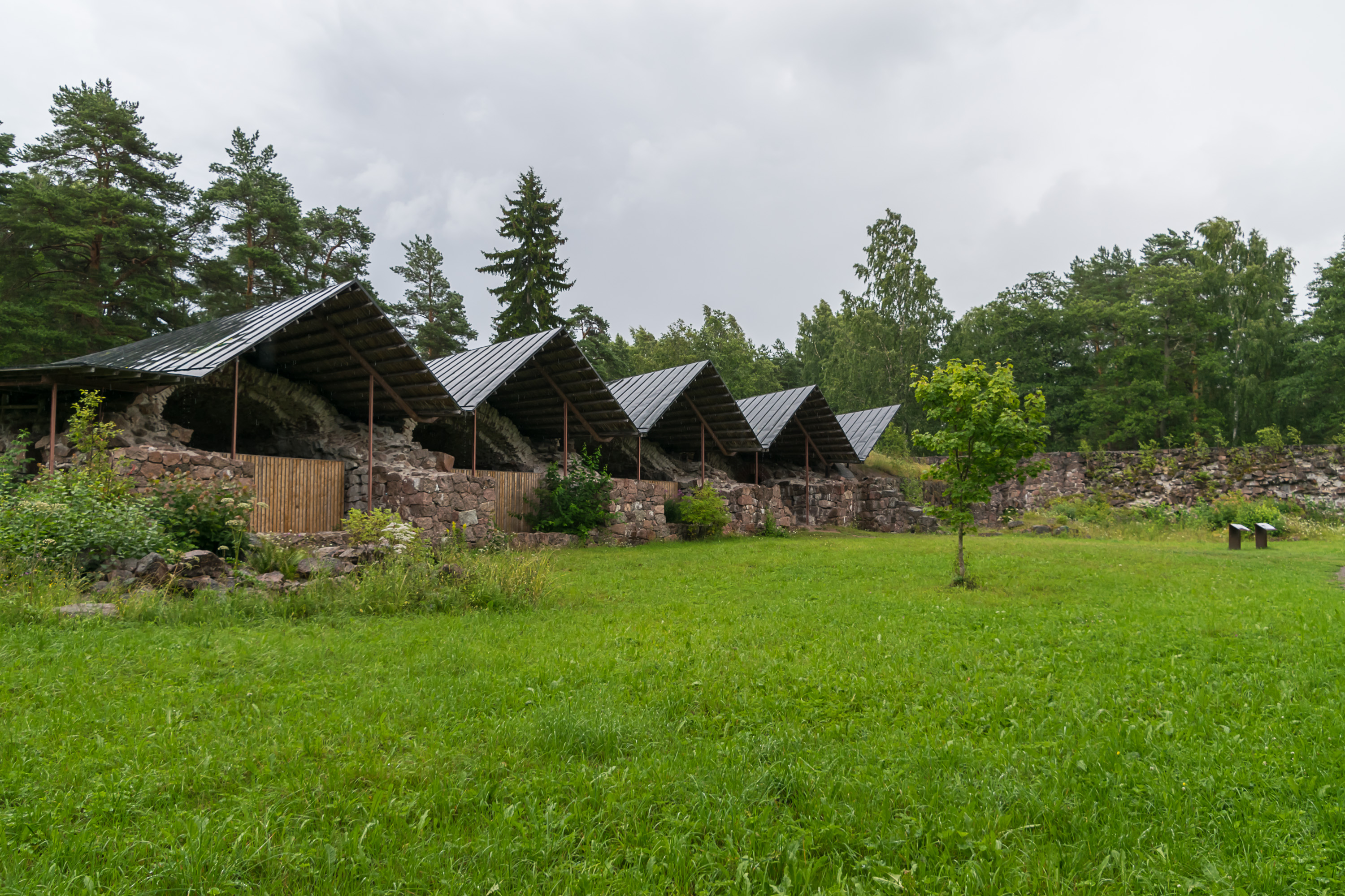
13. I'm still not sure why bother building bastions not attached to a complete fortress. Couldn't the enemy just, like, walk around? Anyway the second bastion, named Ungern, is in a much better shape. As far as I understood this is on purpose; Ungern is repaired and restored whenever necessary while Rosen is left for time and elements to do their job.
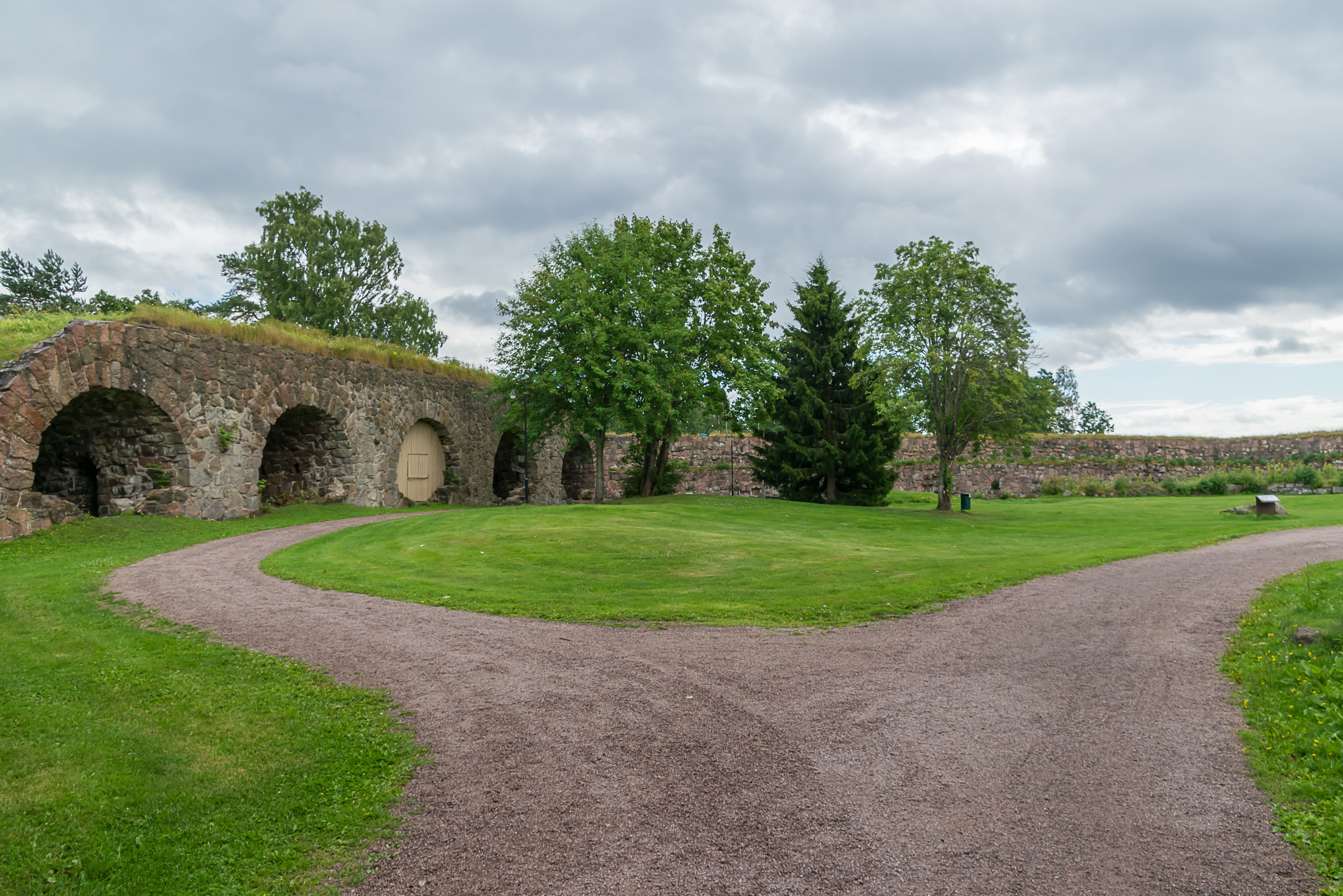
14. There is a very nice park behind the walls of Ungern.
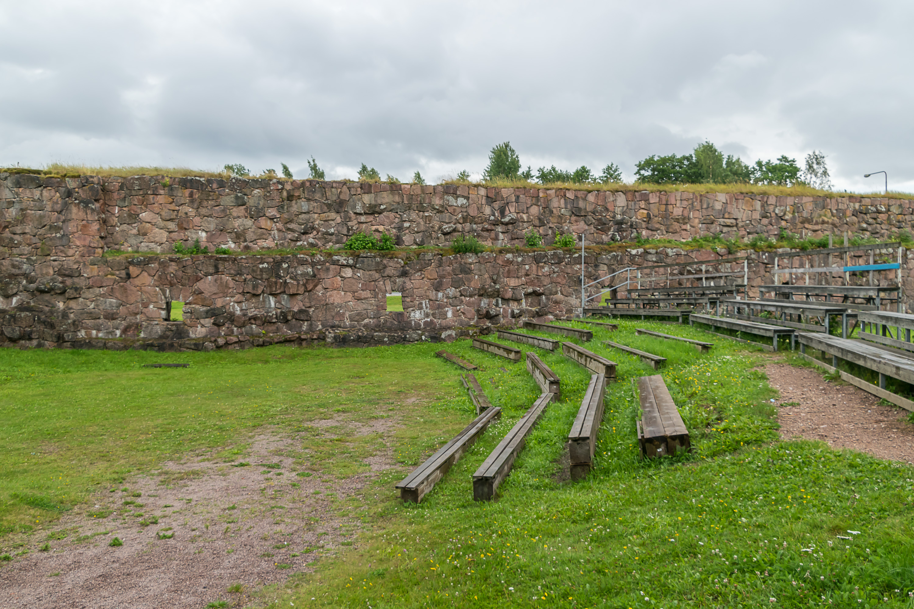
15. And a summer theater, too.
16. Old moats in the park.
17.
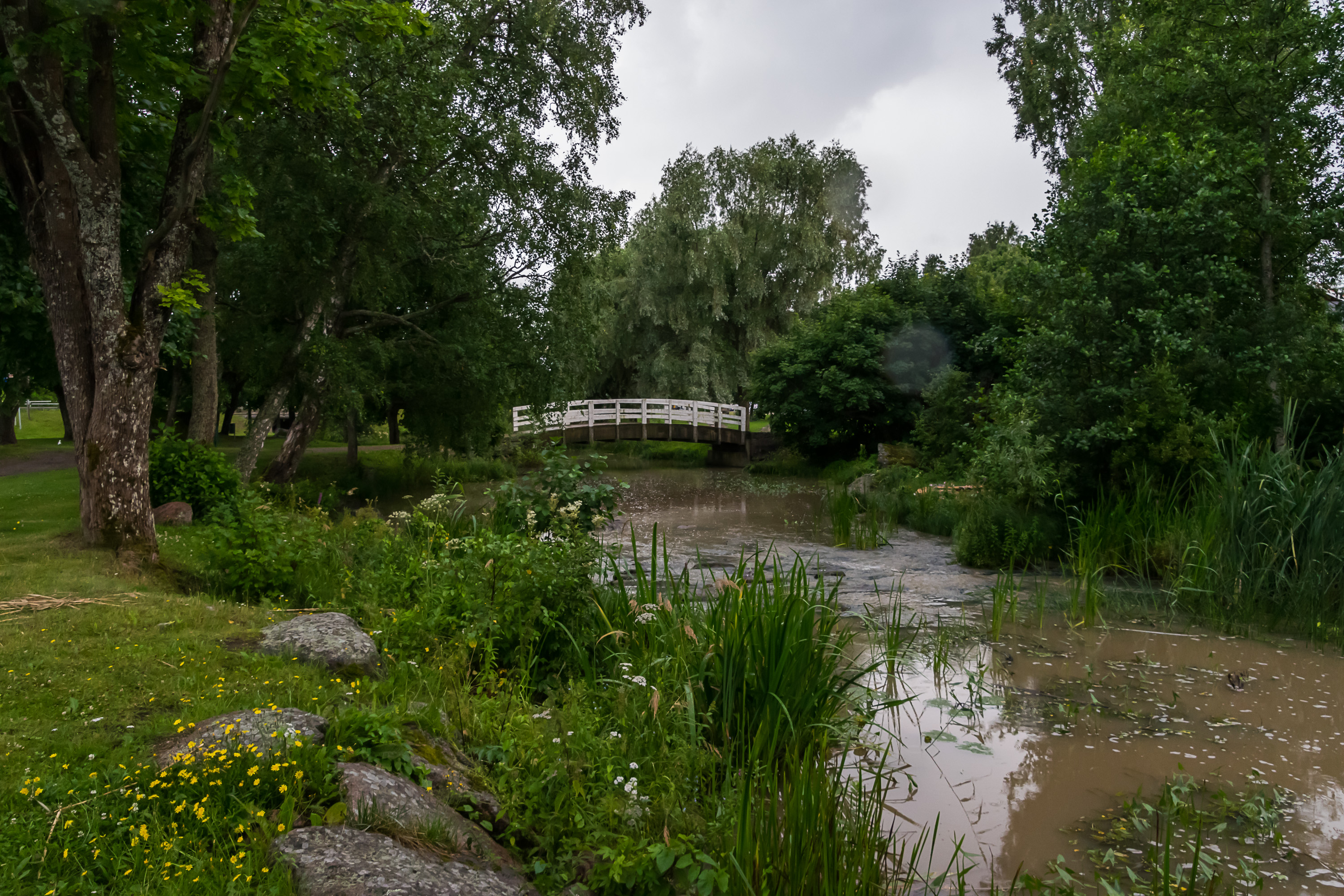
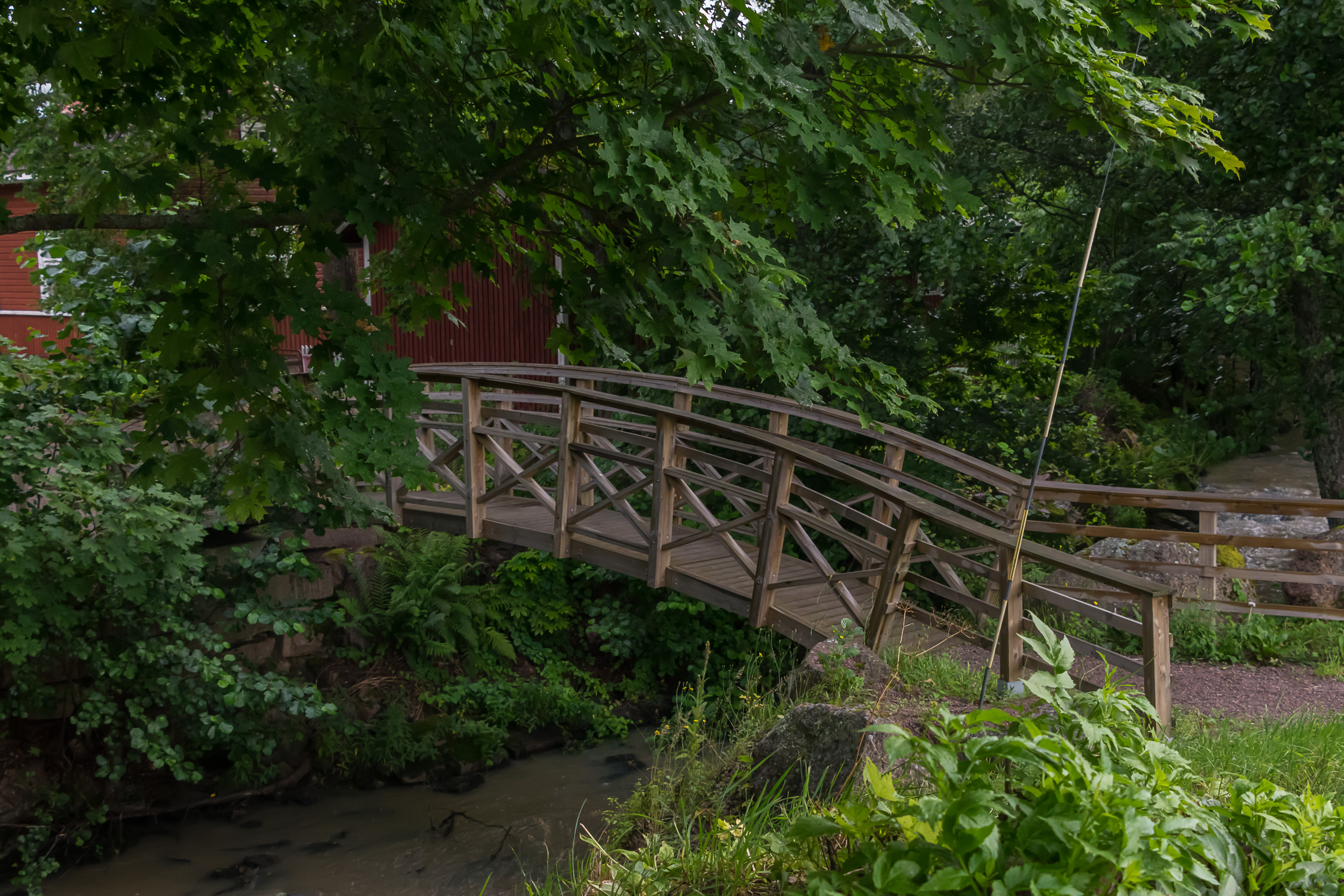
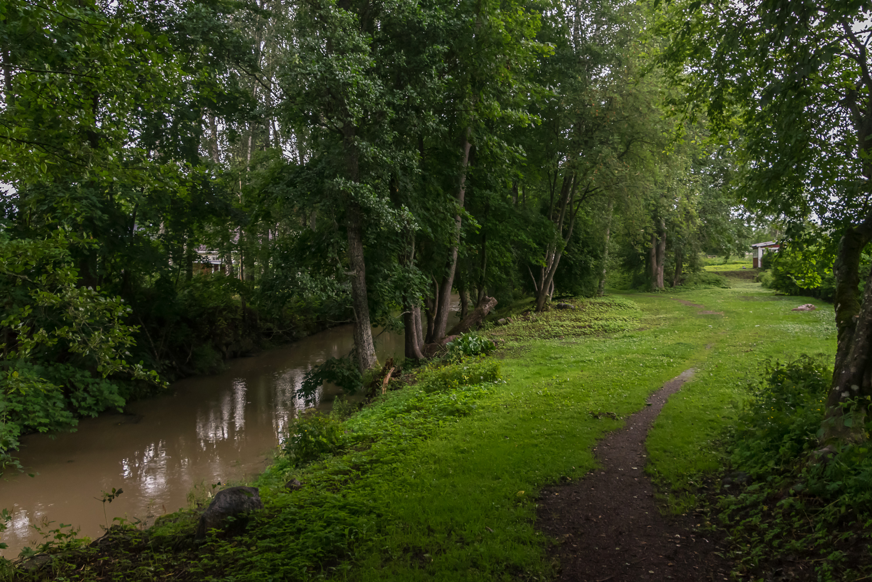
18. The park stretches to the banks of Loviisanjoki River, a rather small and muddy stream which nonetheless was somehow made to look really beautiful.
19. The signs say that a few years ago the river course was examined by the scientists, its wildlife (mainly perches and minnows) was recorded, it was dredged, and some artificial rapids were made, both for aesthetic value and for fish. This is quite an impressive feat. I mean, given the size of the river, they still actually bothered.
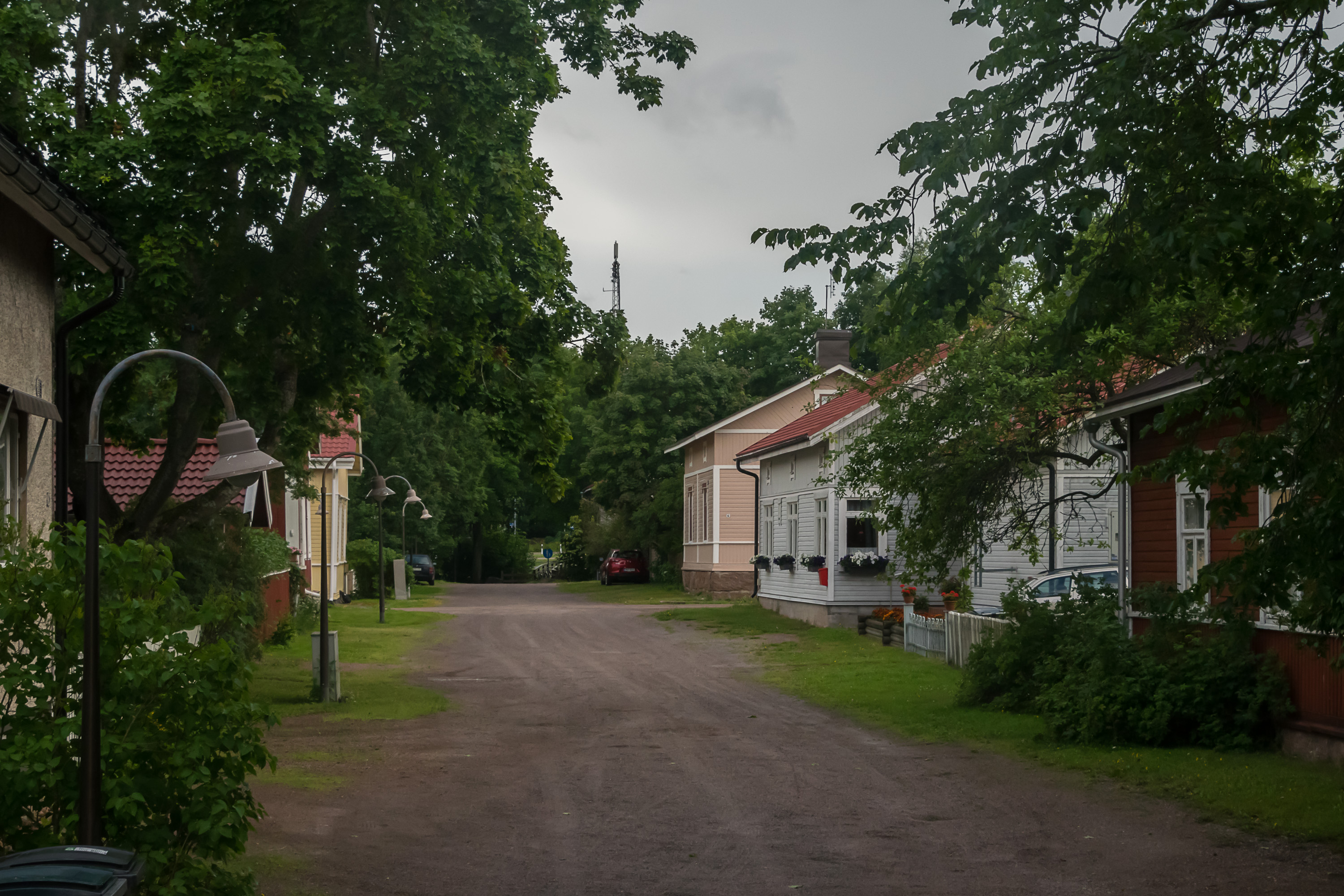
20. Former garrison quarters beyond the river.
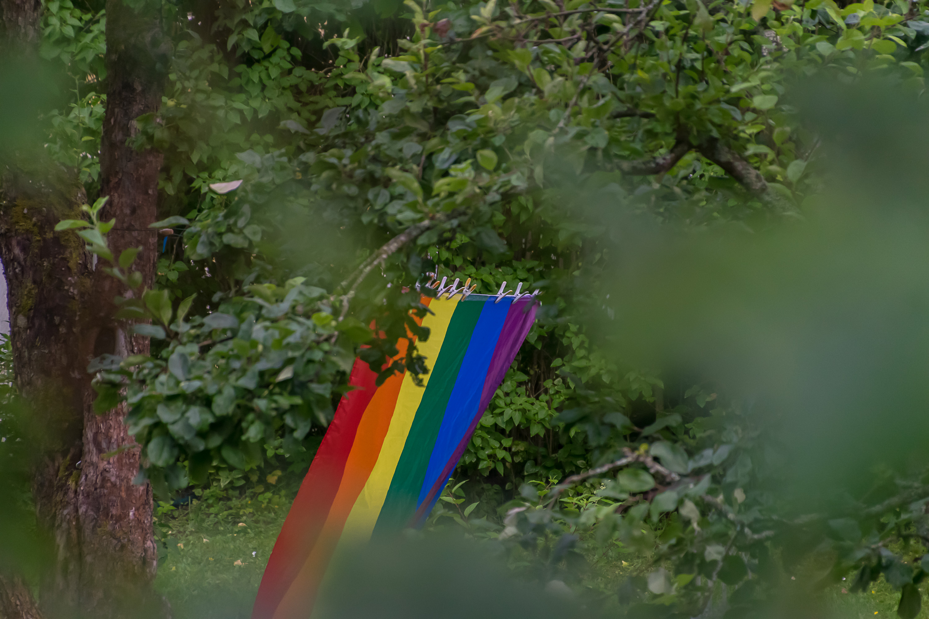
21. One of these houses had an LGBT flag hanged to dry :)
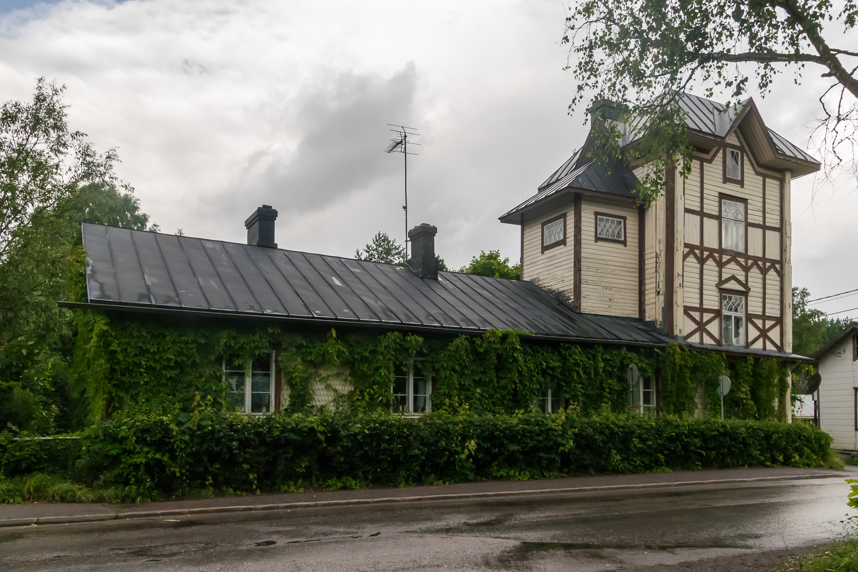
22. One of the more notable buildings of the garrison quarter is the Wine Tower (Viinatorni), a small 19th century liquor factory. Sadly it's not working anymore and I believe there aren't any notable drinks made in Loviisa now.
Loviisa actually holds a yearly Loviisa Old House festival in late August. I believe you are allowed to visit many of the older houses like the Viinatorni during the festival. You can see all the notable houses on their website. The festival's Finnish name is Loviisan Wanhat Talot. Note the W in Wanhat, this word ("old", plural) should be correctly spelled as Vanhat. The W letter is not used in modern Finnish, although it is still a part of the alphabet due to all the Swedish (and nowadays English too) loanwords and proper names. Other similar letters are C, Q, X, Z, _Å, _and to a lesser extent even B and F. Finnish just doesn't have that many sounds! It is not uncommon, though, to intentionally replace V with W to make the words look intentionally archaic (as W was the correct spelling in the past). Which is the case here, for Loviisa Wanhat Talot.
The central street of the garrison quarter, where the Viinatorni building is located, is named Kuhlefeltinkatu (Kuhlefelt Street), most likely in the honor of Eva Kuhlefelt-Ekelund (1892-1984), a famous architect who was born in Loviisa and designed some notable buildings both there and in Helsinki.
23. The trail continues on along the river bank for a while.
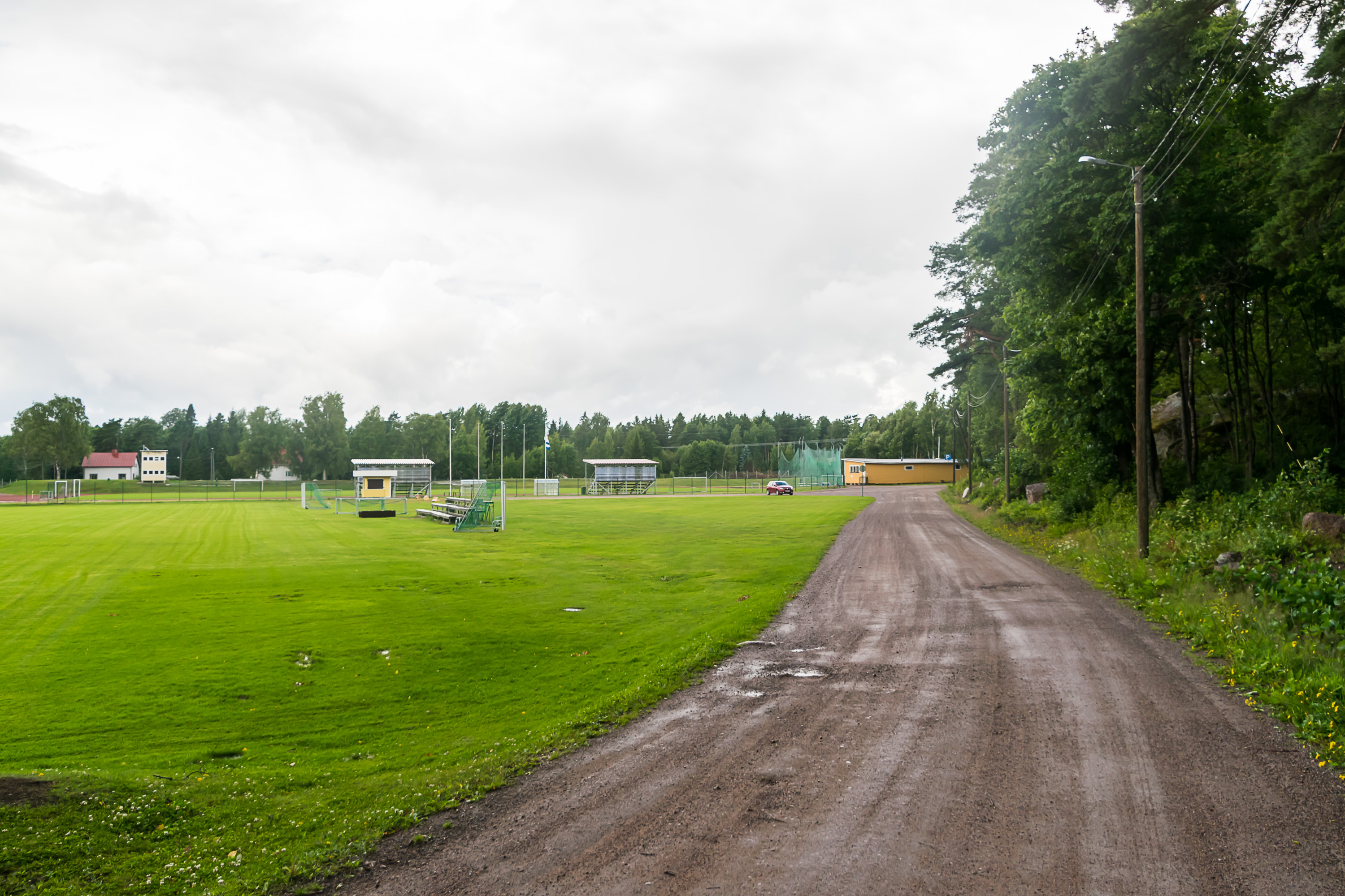
24. And then reaches the stadium again. This is my car parked over there.
Here the series of posts about my weekend trip to Loviisa ends. Six posts about two days, and there wasn't even anything super notable (apart from maybe Svartholm)! I was a bit surprised myself as I somehow managed to completely fill my camera's SD card with pictures. But then again, this was a really nice corner of Finland.