After visiting Borgholm castle ruins, we're driving on to the north on the island of Öland, 70 km more on a narrow road through peaceful resort villages.
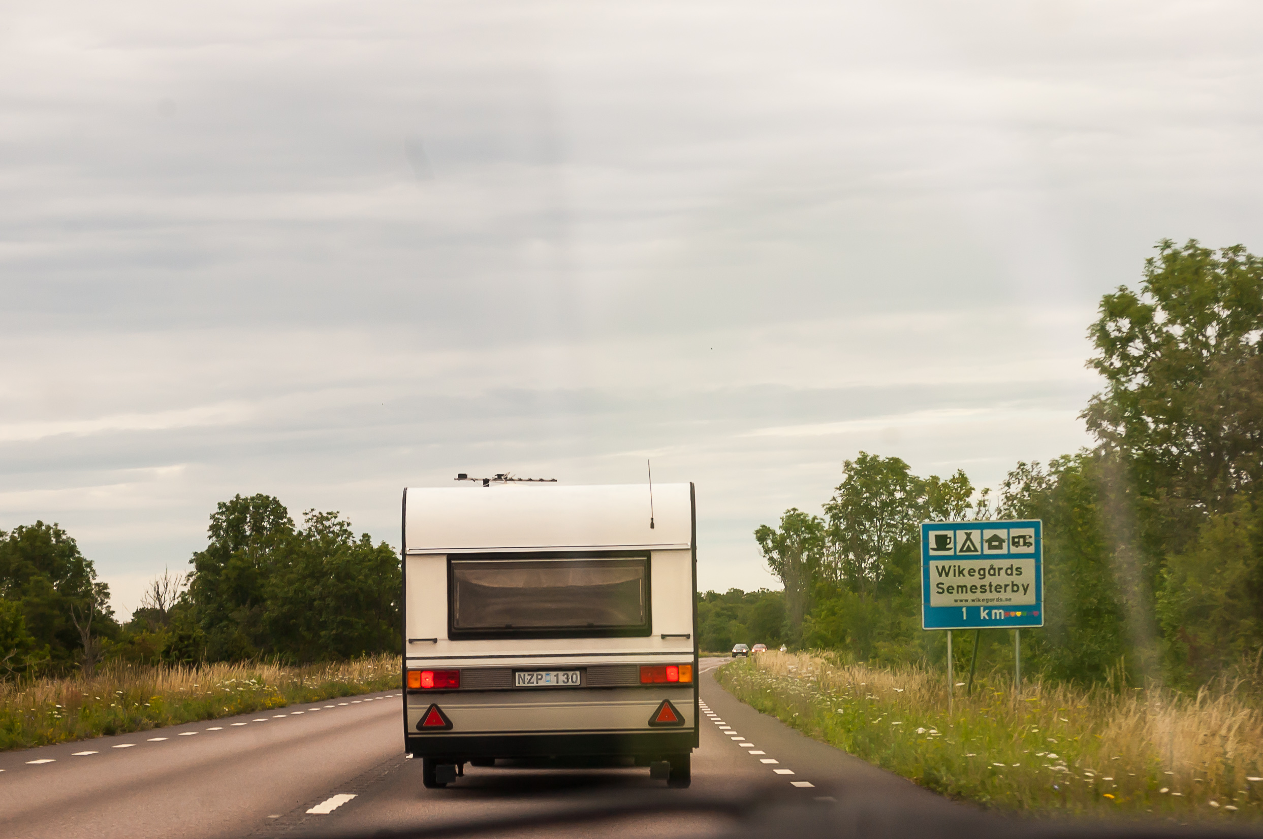
1. Långe Erik (Swed. Tall Erik) lighthouse is open for visitors but closes at 16, and we left Borgholm at 14:30. Normally that would be plenty of time to cover 70 kilometers, but congested road made it difficult.
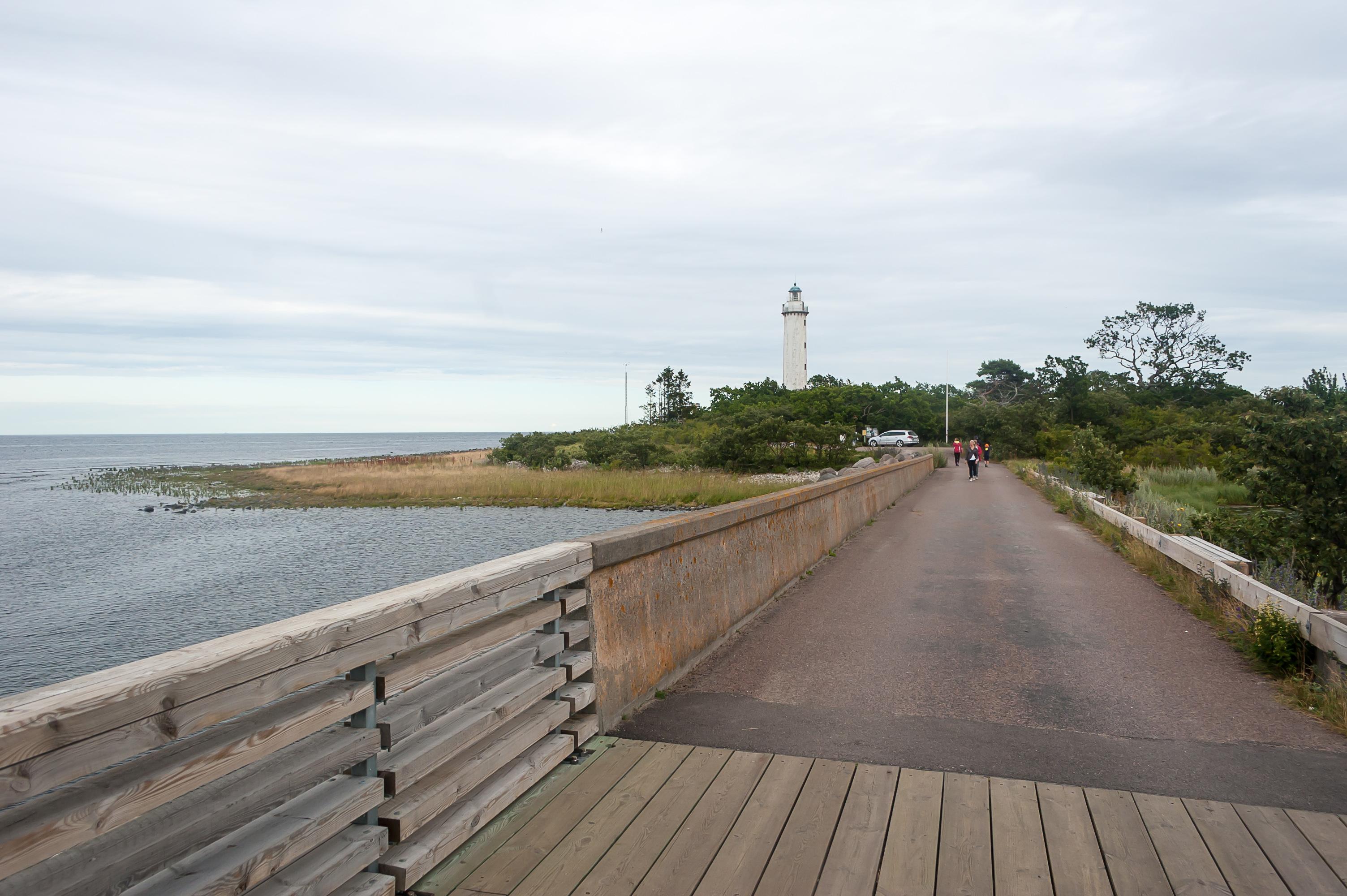
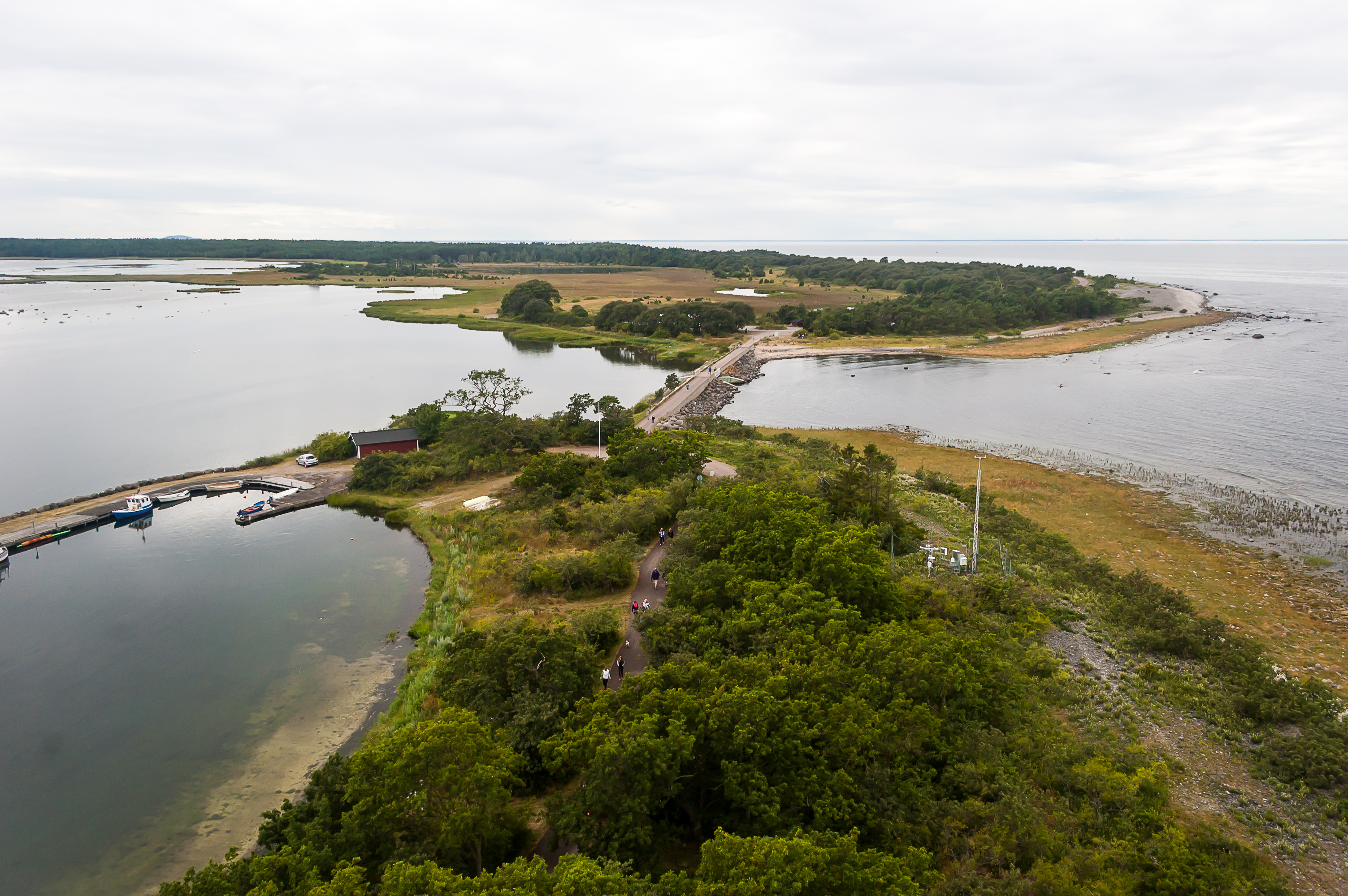
2. We drove past villages of Böde and Buxelkrok, stony shore called Neptune's Fields, and finally made a left turn to a local road to the lighthouse, getting more and more nervous in process. At 15:52 we left our car at a parking lot, and ran to the lighthouse. The lighthouse is located on a small island called Stora Grundet (Swed. Large Shallow), 500x150 meters large, connected to Öland with a bridge (closed for regular traffic). The 32 meter tall lighthouse is already visible.
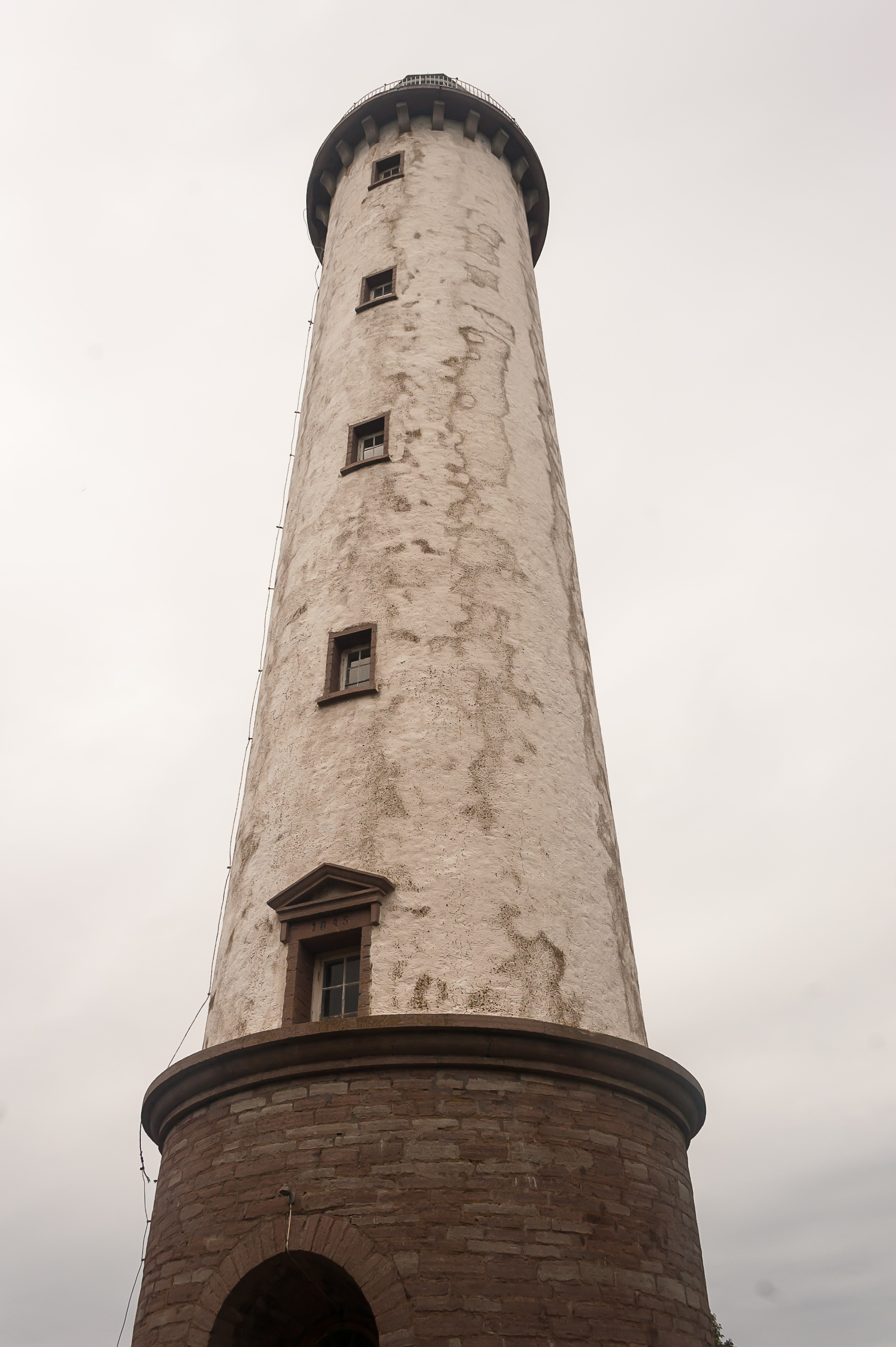
3. The lighthouse at last! Thankfully it was still open (and actually ended up being open until about 16:30). The limestone tower was built in 1845. By the way, there is also a Långe Jan at the southernmost tip of Öland. That Jan is even taller than Erik.
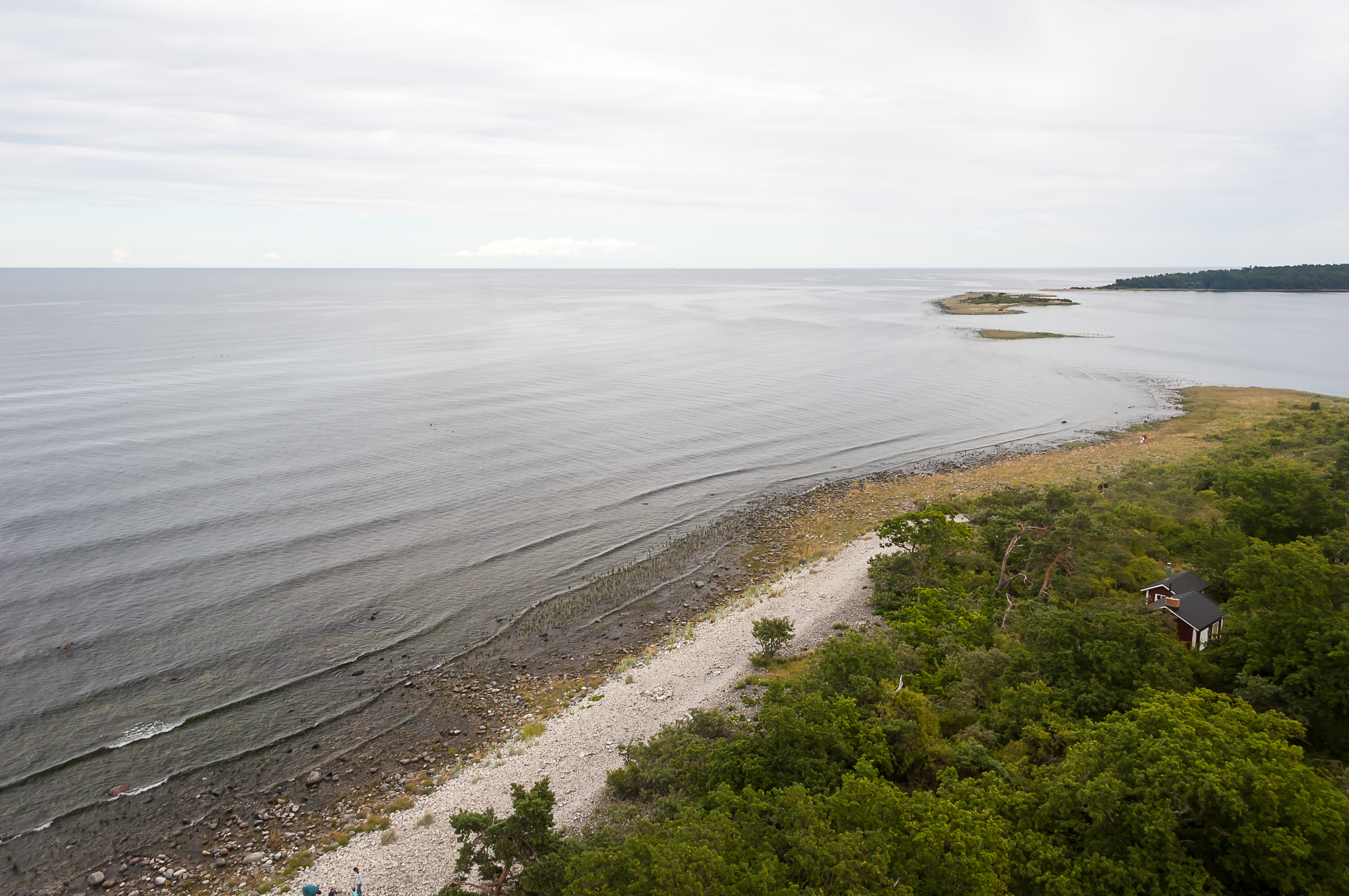
4. View from the top of the lighthouse. That's the first time I was on top of a lighthouse! All Russian lighthouses I know do not allow any visitors.
The strip of land in the distance is Trollskogen forest. Trollskogen and Stora Grundet look like pincers from above, and between them is a large lagoon called Grankullaviken. Two more islets close up Grankullaviken. The smaller one is called Borren, and the larger is Lilla Grundet. There is an ancient graveyard on Lilla Grundet (Swed. Little Shallow).
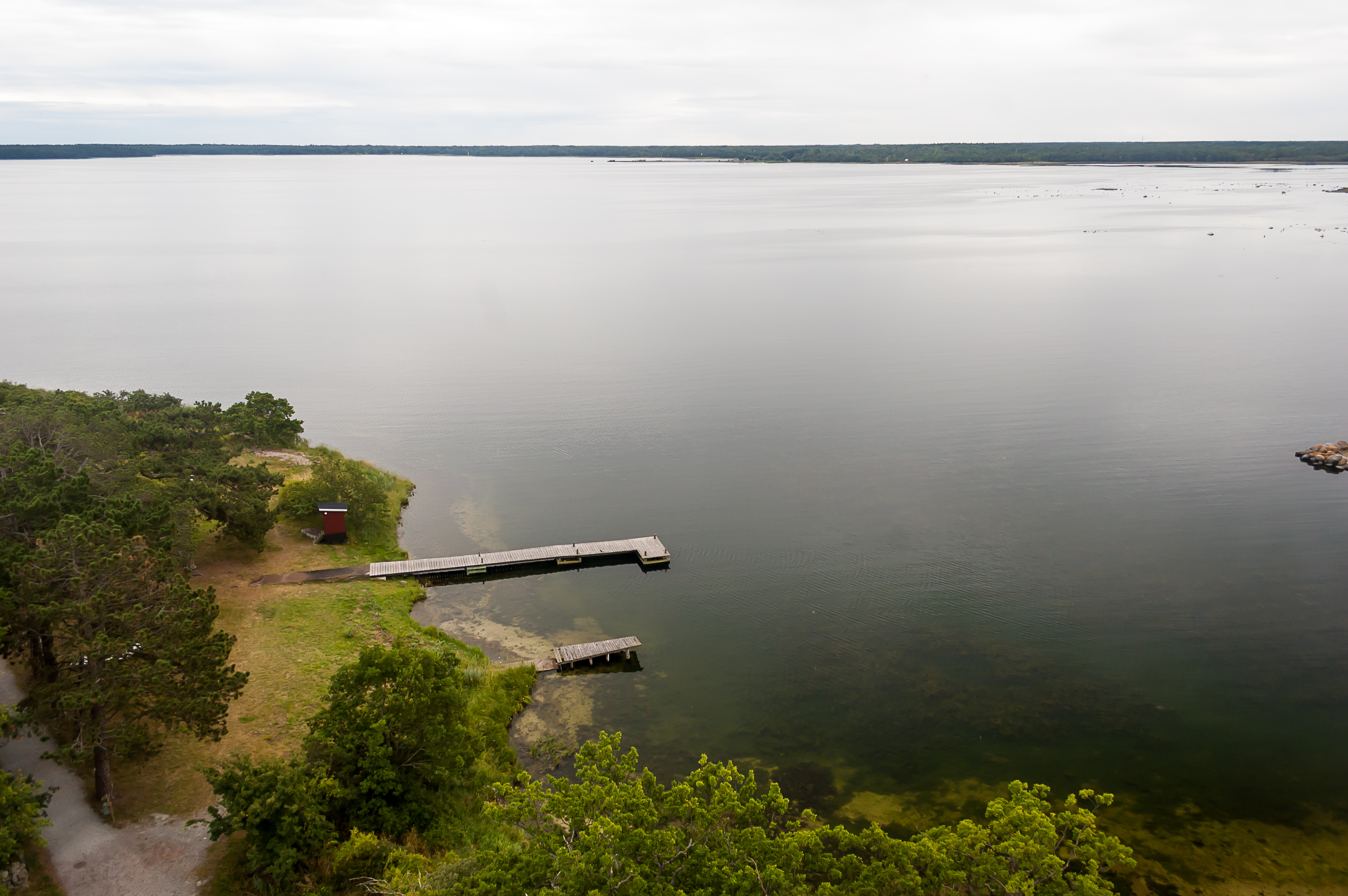
5. Grankullaviken bay. A short-lived ferry to Gotland used to operate from a jetty in Grankullaviken.
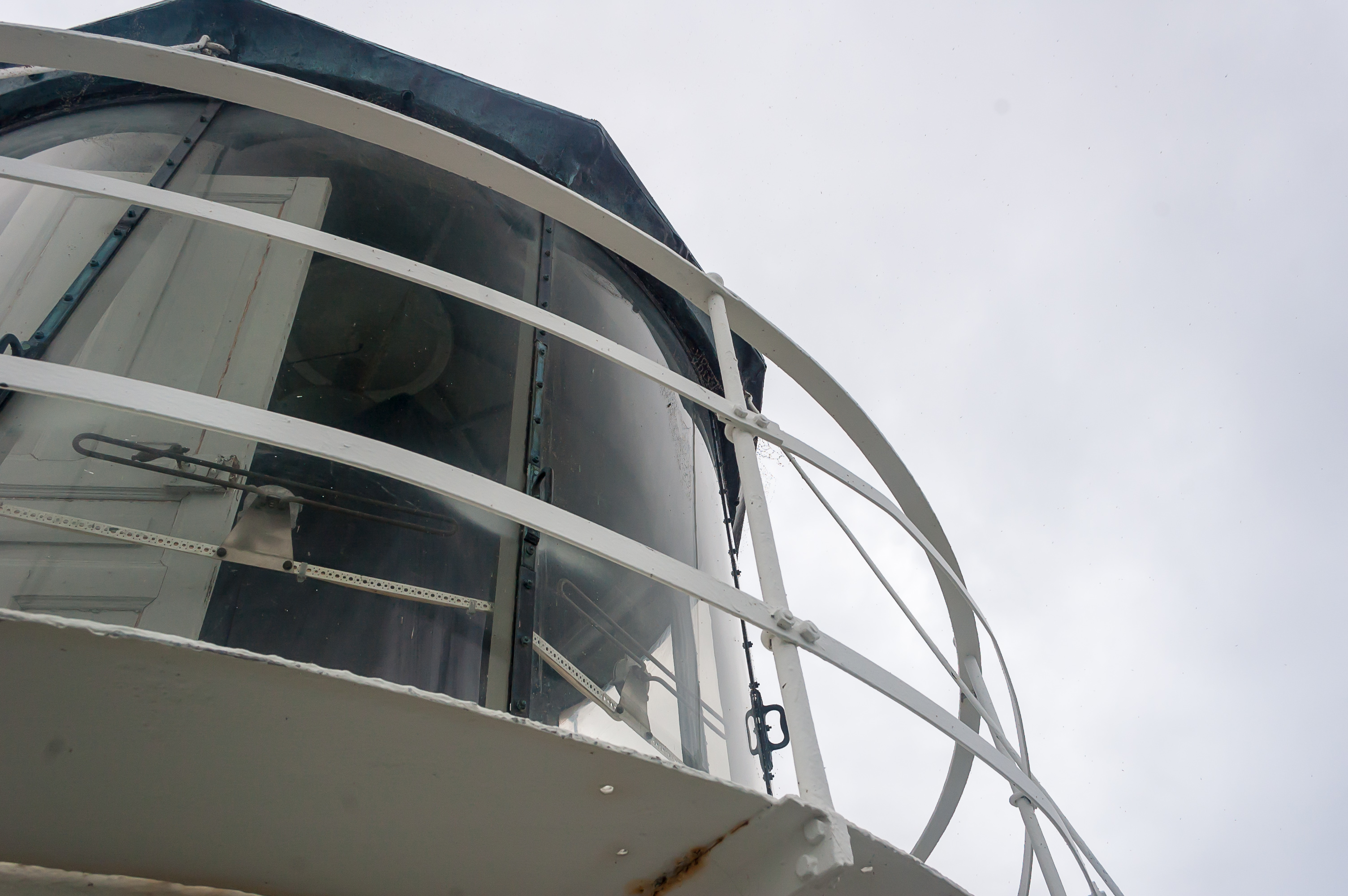
6. The lamp of Långe Erik.
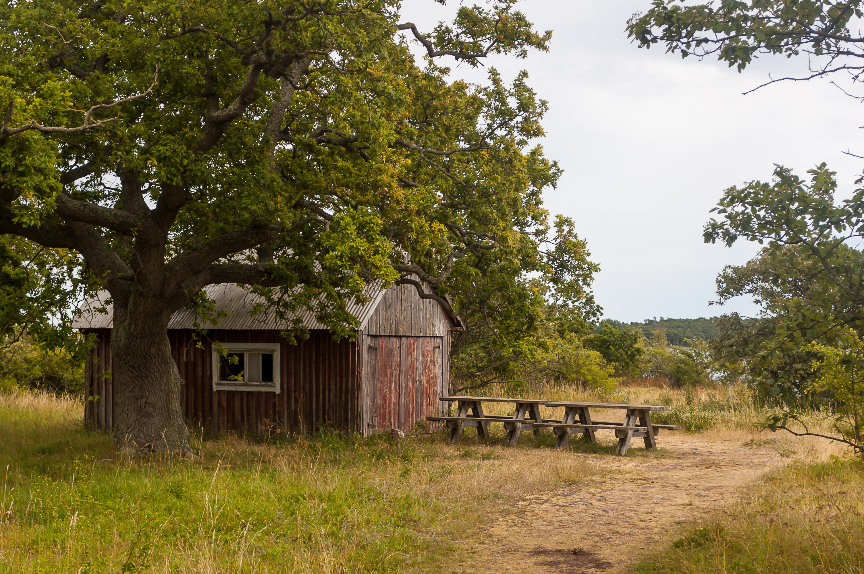
7. There are several small wooden buildings on Stora Grundet, including former house of lighthouse keeper, various barns, and a weather station. Most of then seem to be unused now.
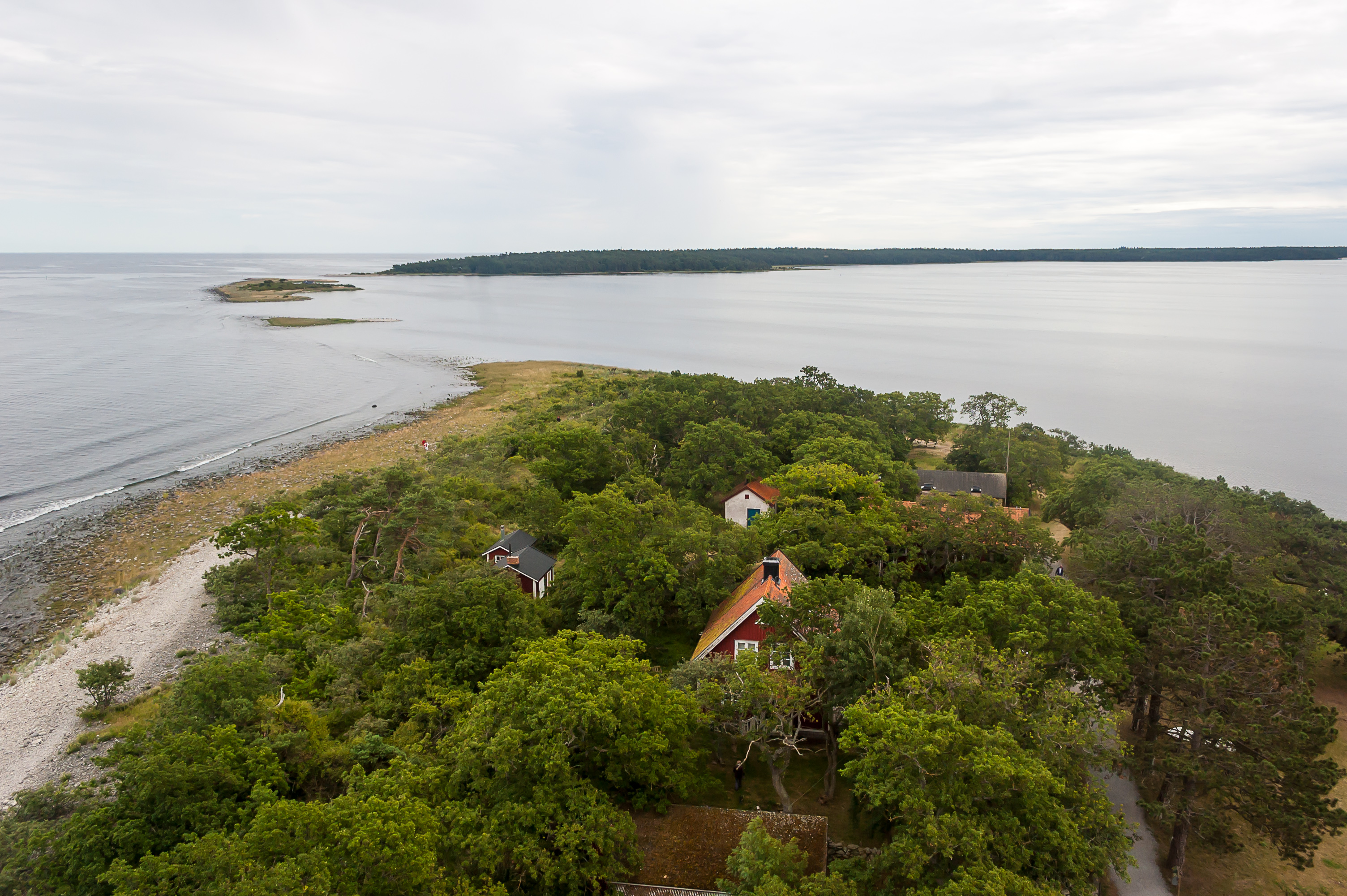
8. Öland mainland and Stora Grundet bridge. If you squint just right, you can notice a tiny hump far on the horizon to the left of the picture. It is actually a small island named Blå Jungfrun (Swed. Blue Maiden), basically a small mountain rising from Kalmar Strait. The island is sort of mythical, and was said to be a place where witches used to gather. It is now a national park; there are boats to Blå Jungfrun from Öland (Byxelkrok) and mainland Sweden (Oskarshamn), but you can't stay there overnight (which is normally permitted anywhere out of people sight — that's classic Nordic "everyman's right"), and can't take anything from the island. Even taking a small stone is said to bring bad luck.

9. Spider web in the lighthouse railings.
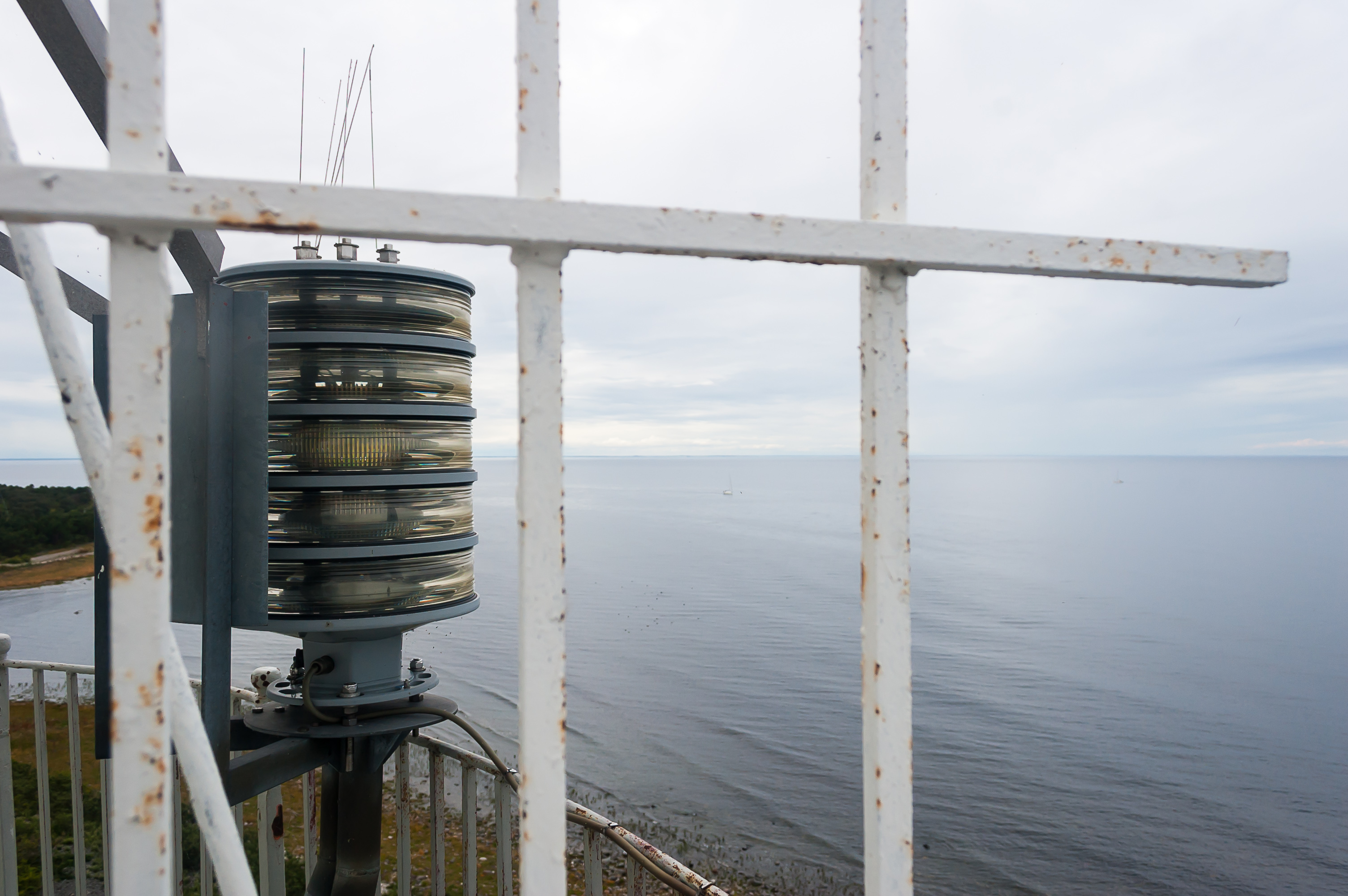
10. This is the modern Långe Erik lamp, I guess. The lighthouse is still operational, but normally unmanned.
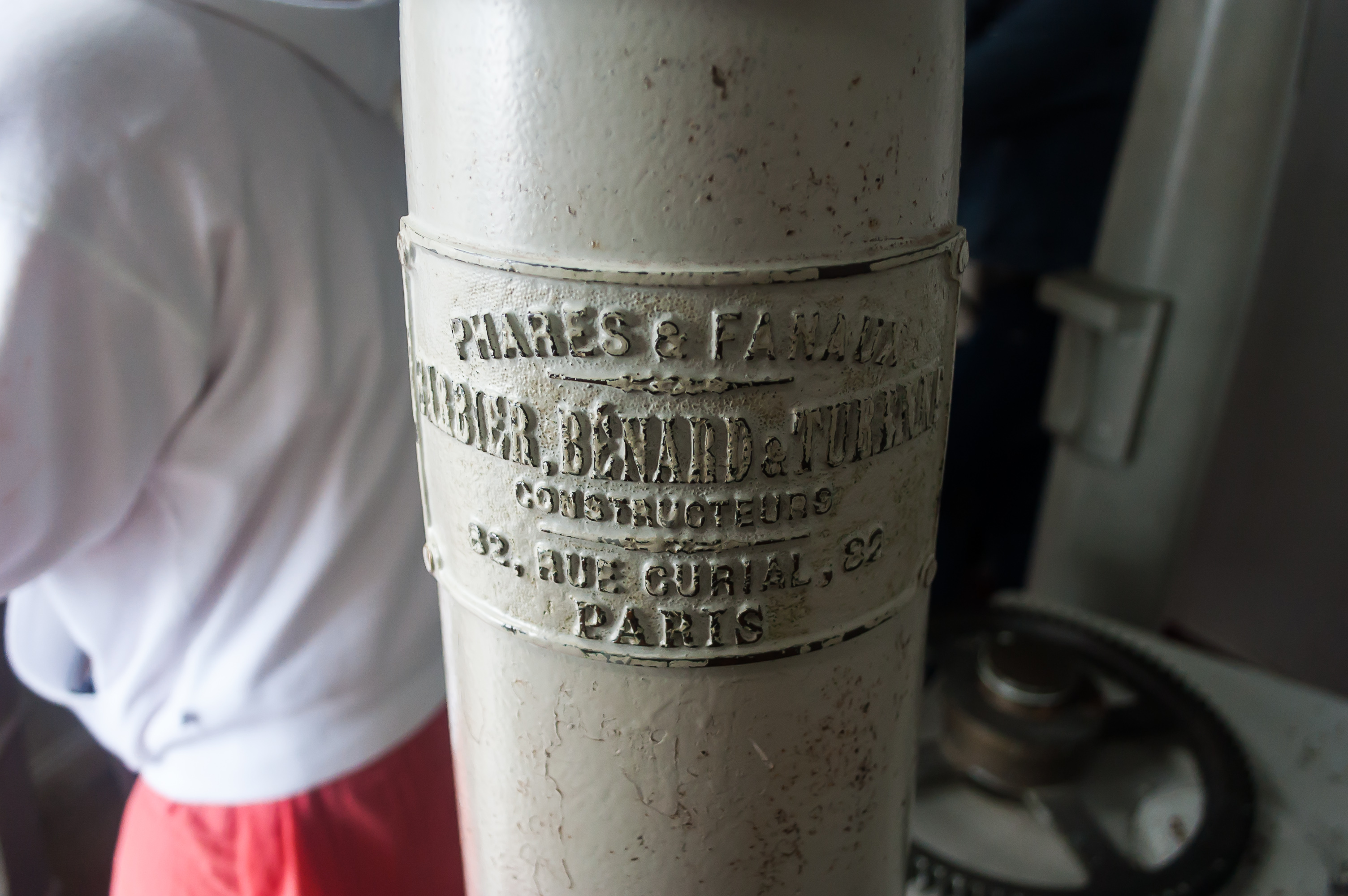
11. Part of old lighthouse mechanism inside. Barbier, Bénard, et Turenne used to be a small Paris company specializing in lighthouse equipment. They existed from 1862 to 1982. (So this mechanism is presumably an upgraded version already; the lighthouse itself as you remember dates to 1845.)

12. After coming down from the lighthouse, we explored Stora Grundet island for a while.
13.

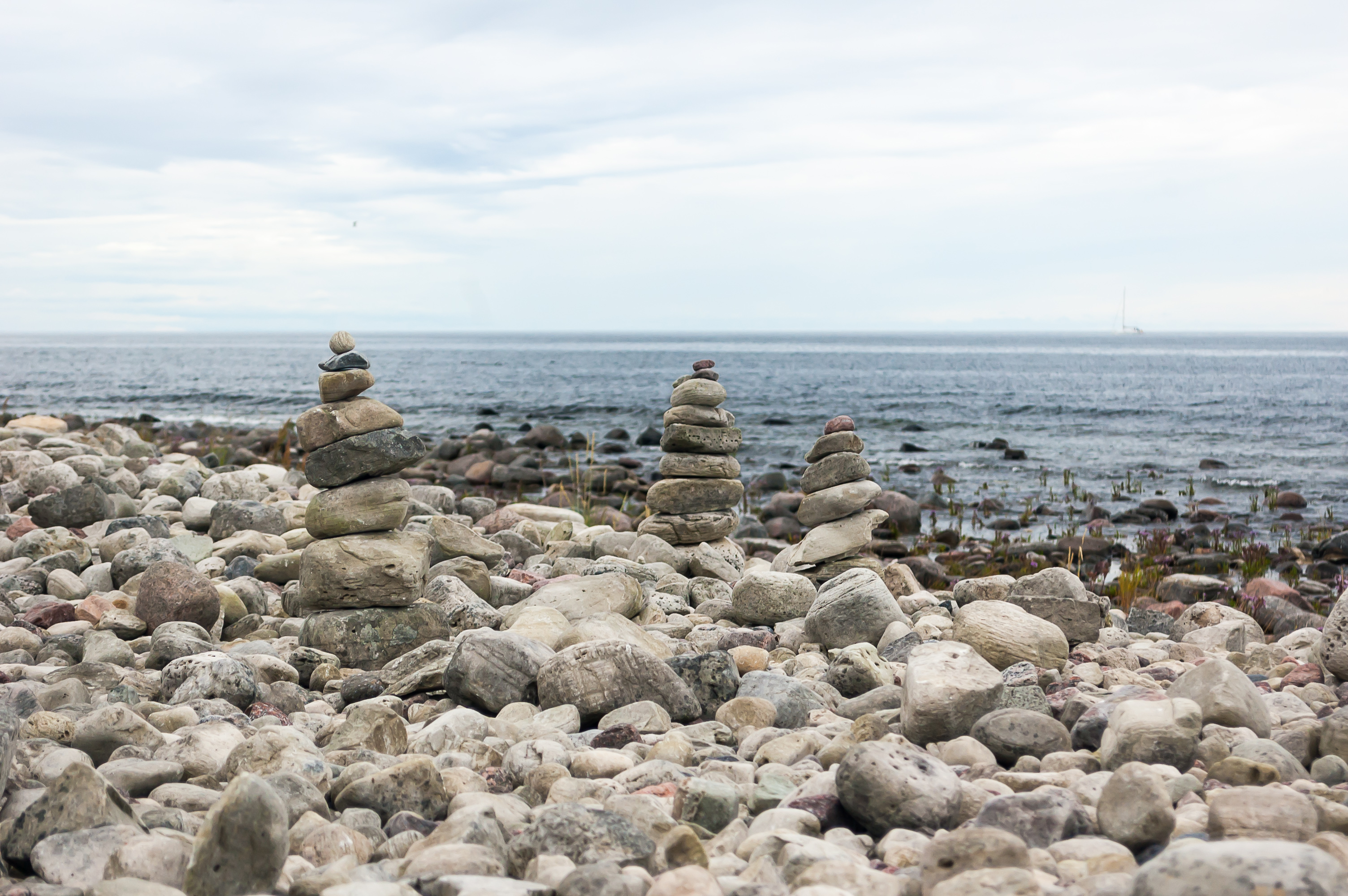
14. Cairns are extremely common in Nordic countries, although by no means unique to them. They usually get built in nice places with some scenic view.

15.
16.

17. It's a super photogenic place to be sure.
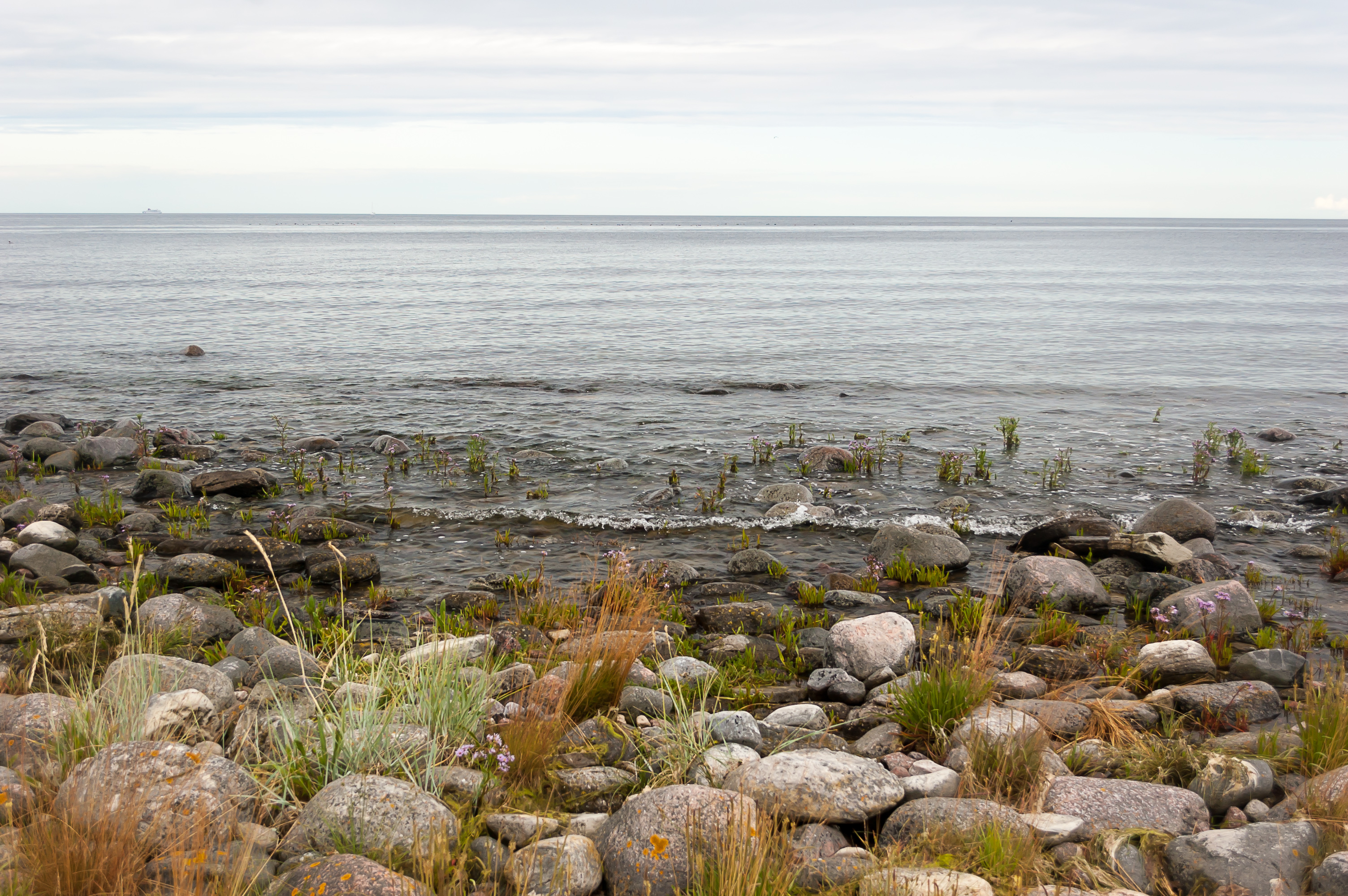
18. The sea, as visible from Stora Grundet, with some ship in the distance.
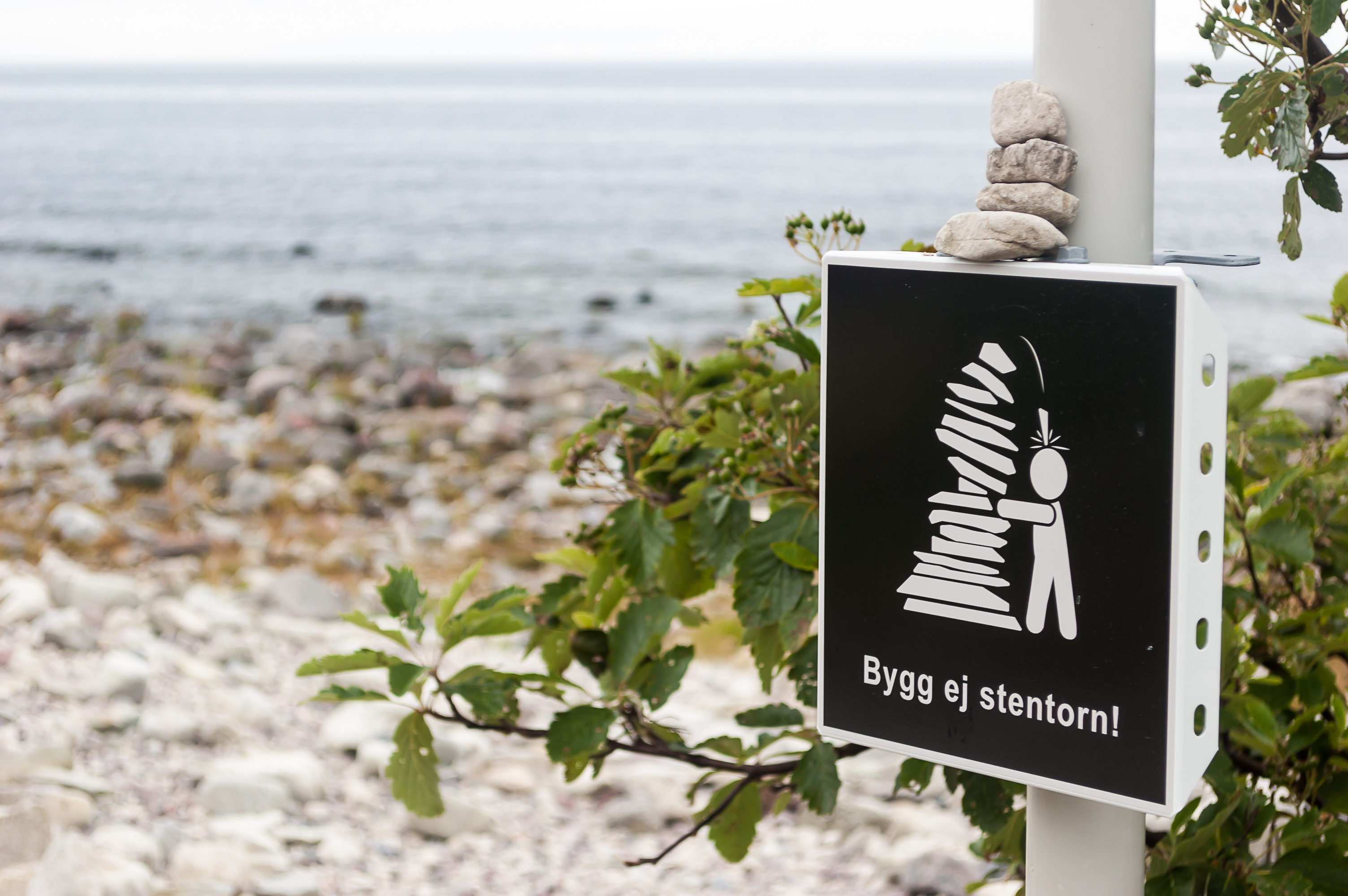
19.
20. Funny warning sign.

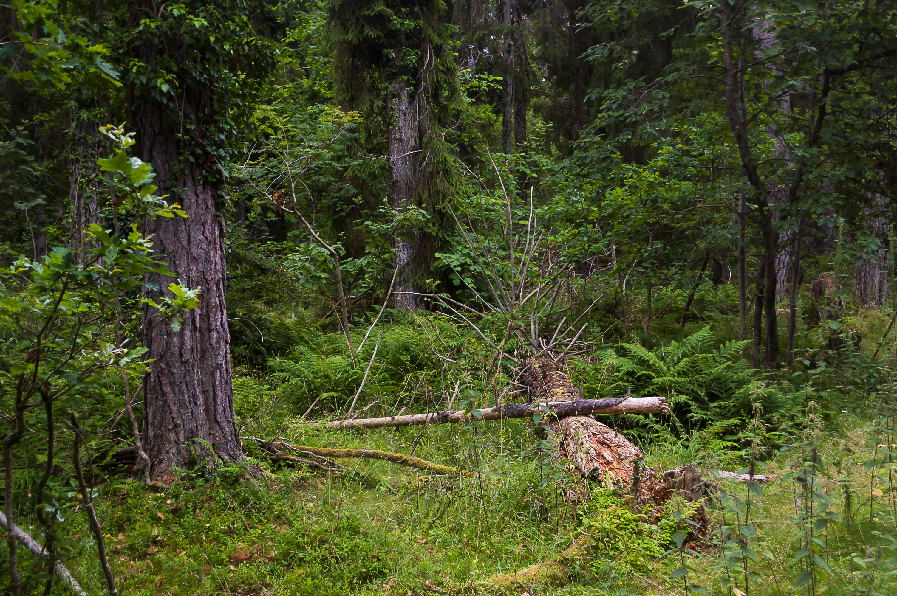
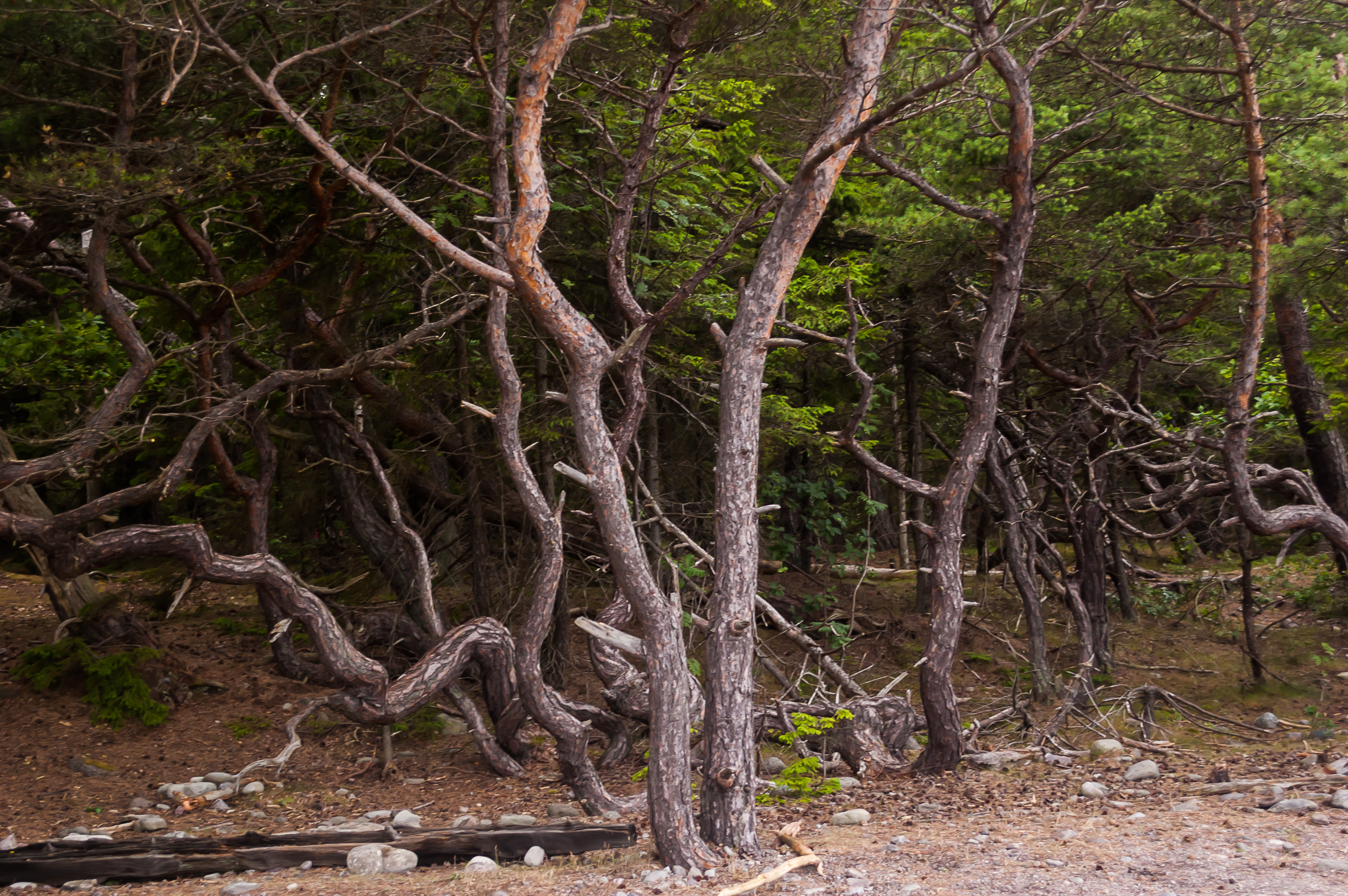
21. Driving on to our last Öland destination, Trollskogen forest. The road is mostly empty, for a change.
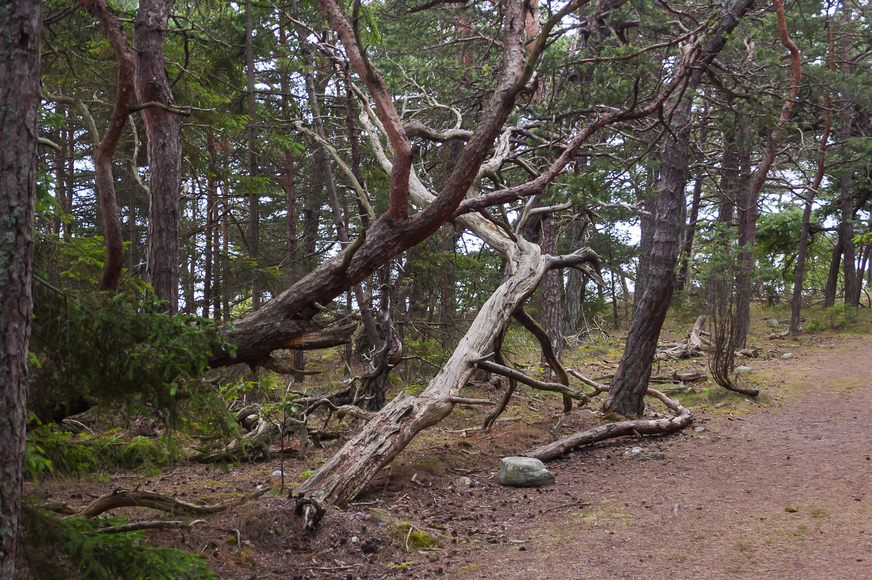
22. Trollskogen literally means Troll Forest. Most of it is an unusually thick and lush forest, but closer to the sea shore trees get gnarly and twisted.
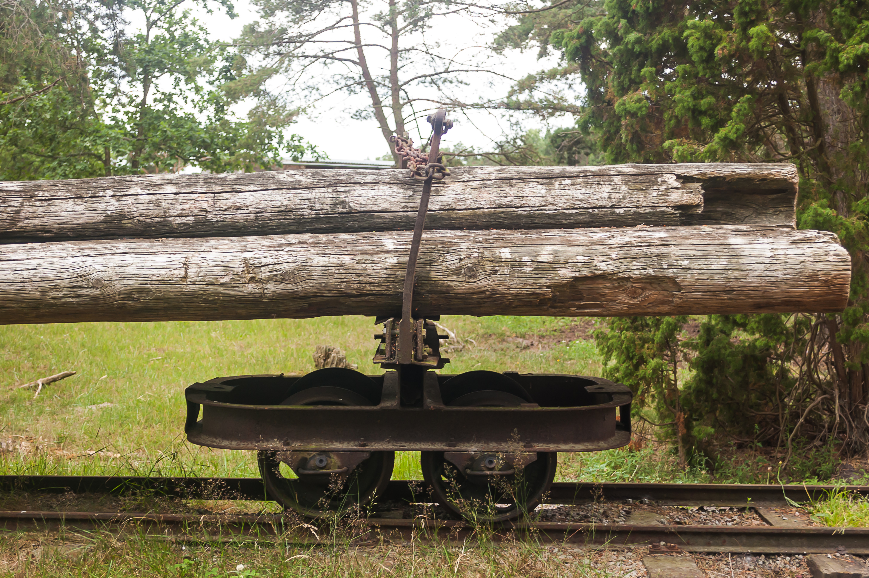
23. There once was a narrow gauge railroad for transporting wood from Trollskogen to Böda village. I certainly didn't expect to see any railroads on Öland.
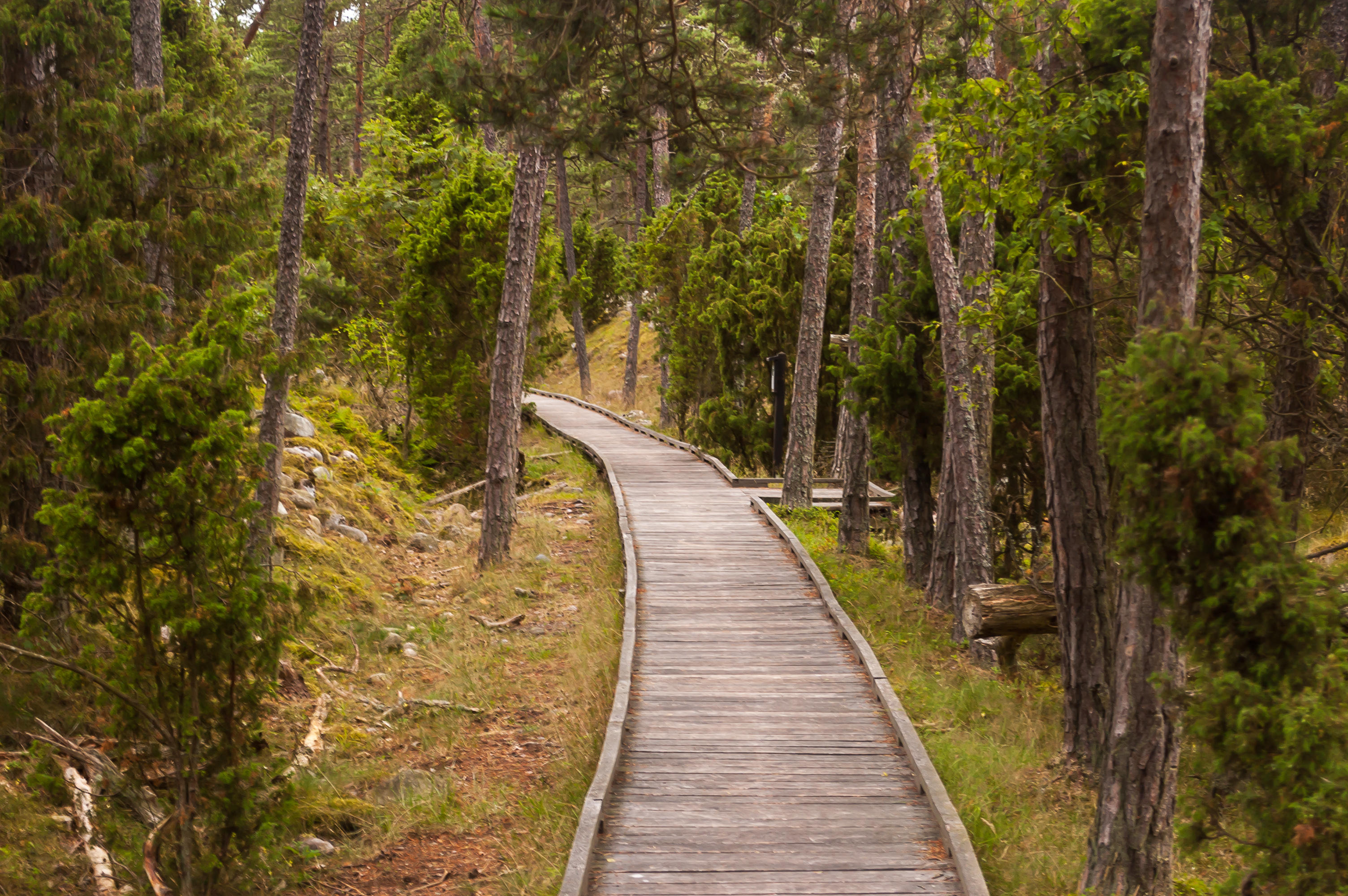
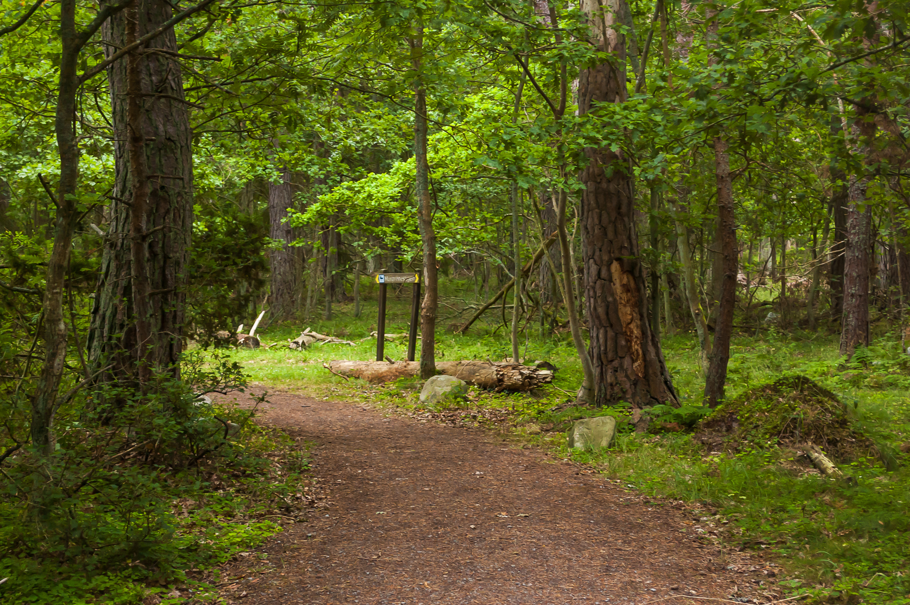
24. Off to the forest. Again, we didn't have much time (we had to be in Malmö at 23 to catch a train to Copenhagen), and I mostly just wanted to walk to a shipwreck on the shore of Trollskogen that I read about before. Apparently we picked a wrong path initially. This one was really pleasant to walk though, it is built to be wheelchair-accessible.
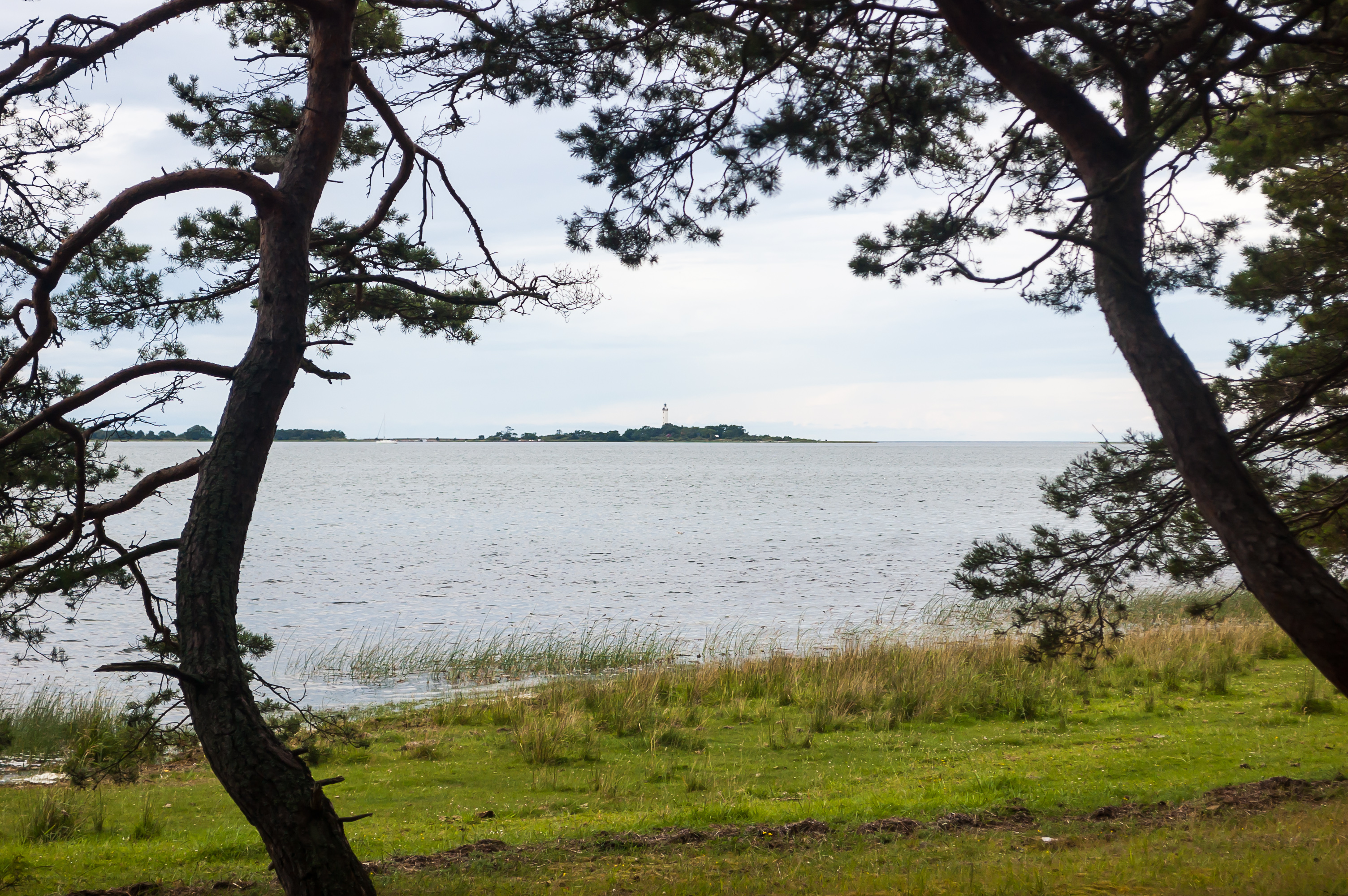
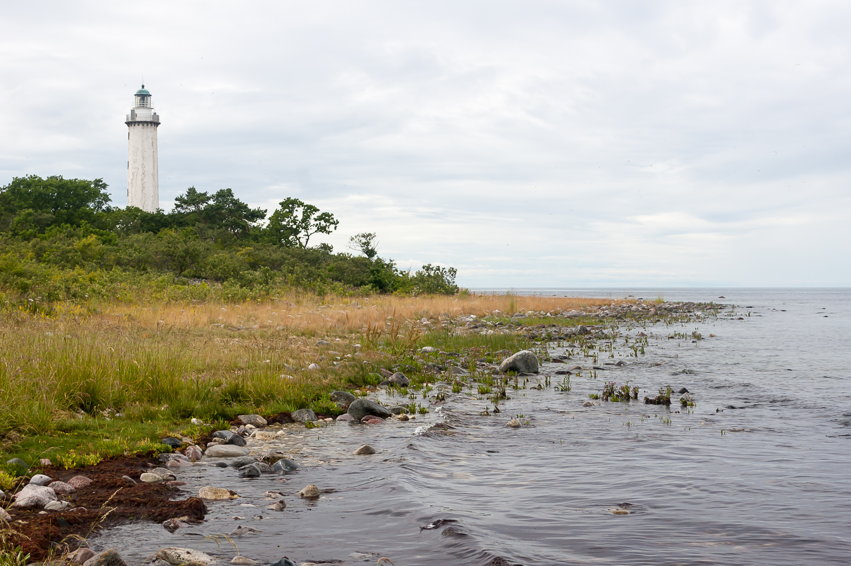
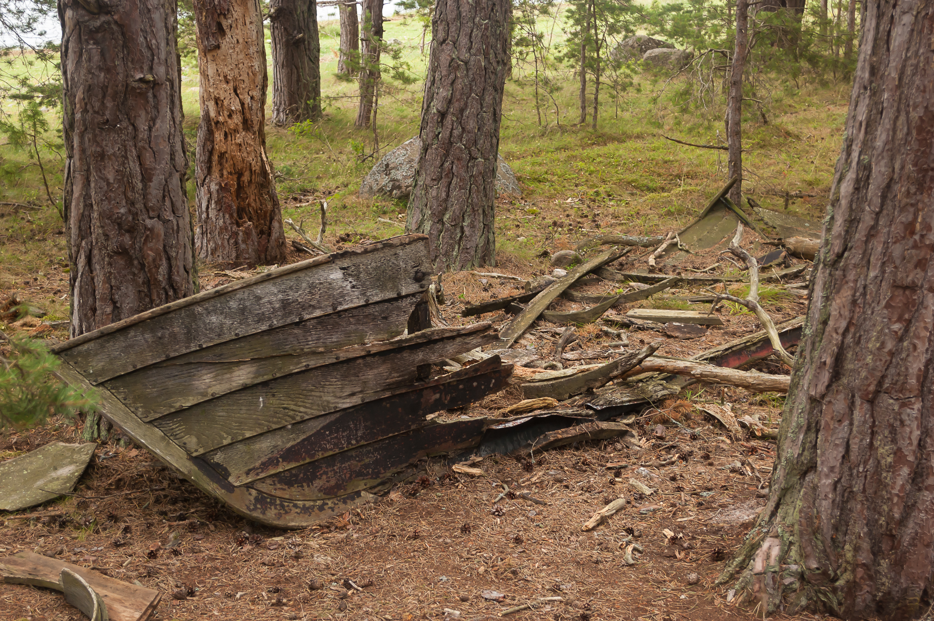
25. A view back across Grankullaviken bay to Långe Erik lighthouse, where we had been just an hour before.
26. Remains of some boat in the forest. And no, this was not the shipwreck I was looking for.

27. A quiz to entertain you along the walkway.
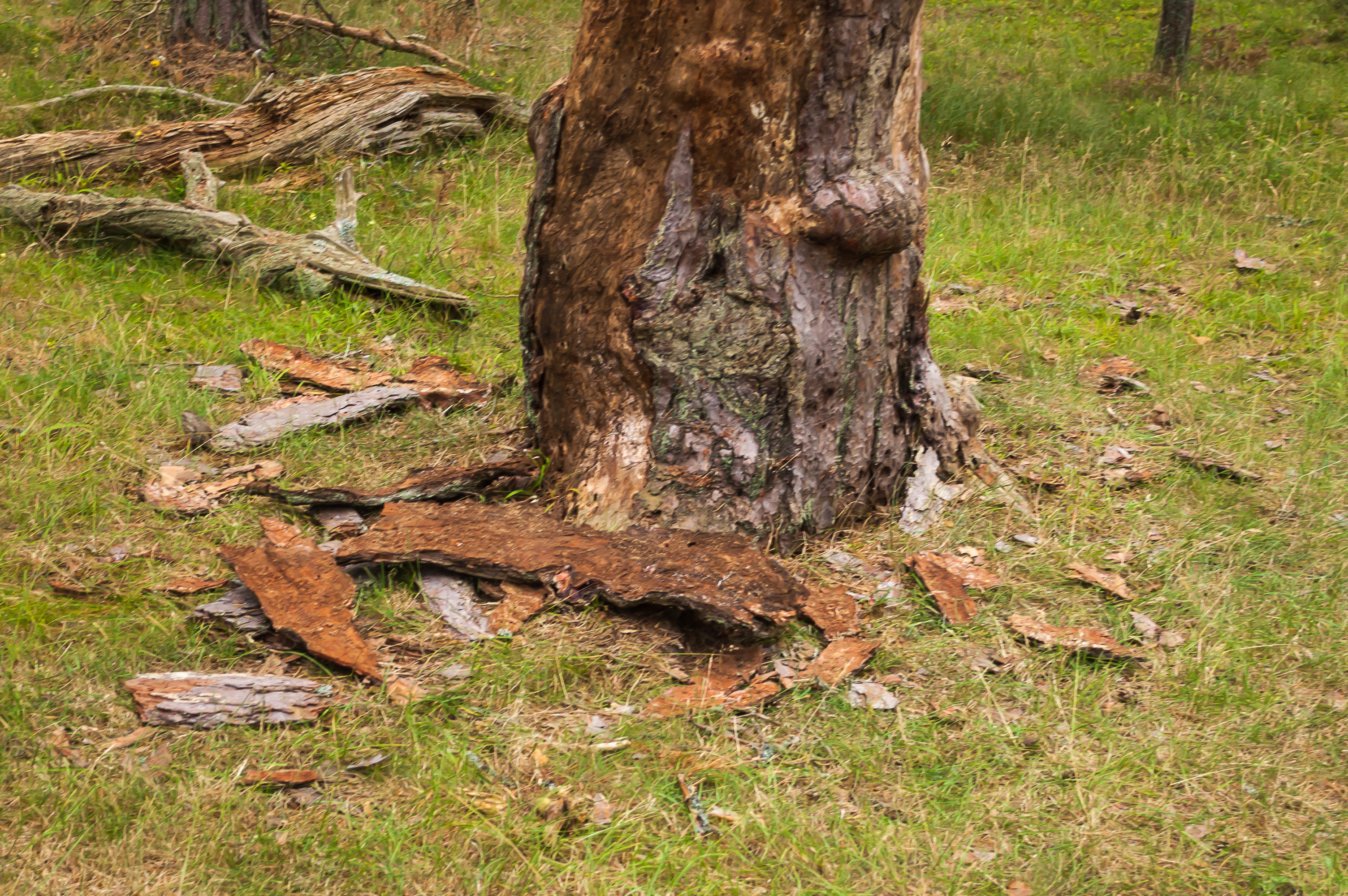
28. Some of the trees had their bark stripped, perhaps by the hares mentioned in that quiz.
29.
30.
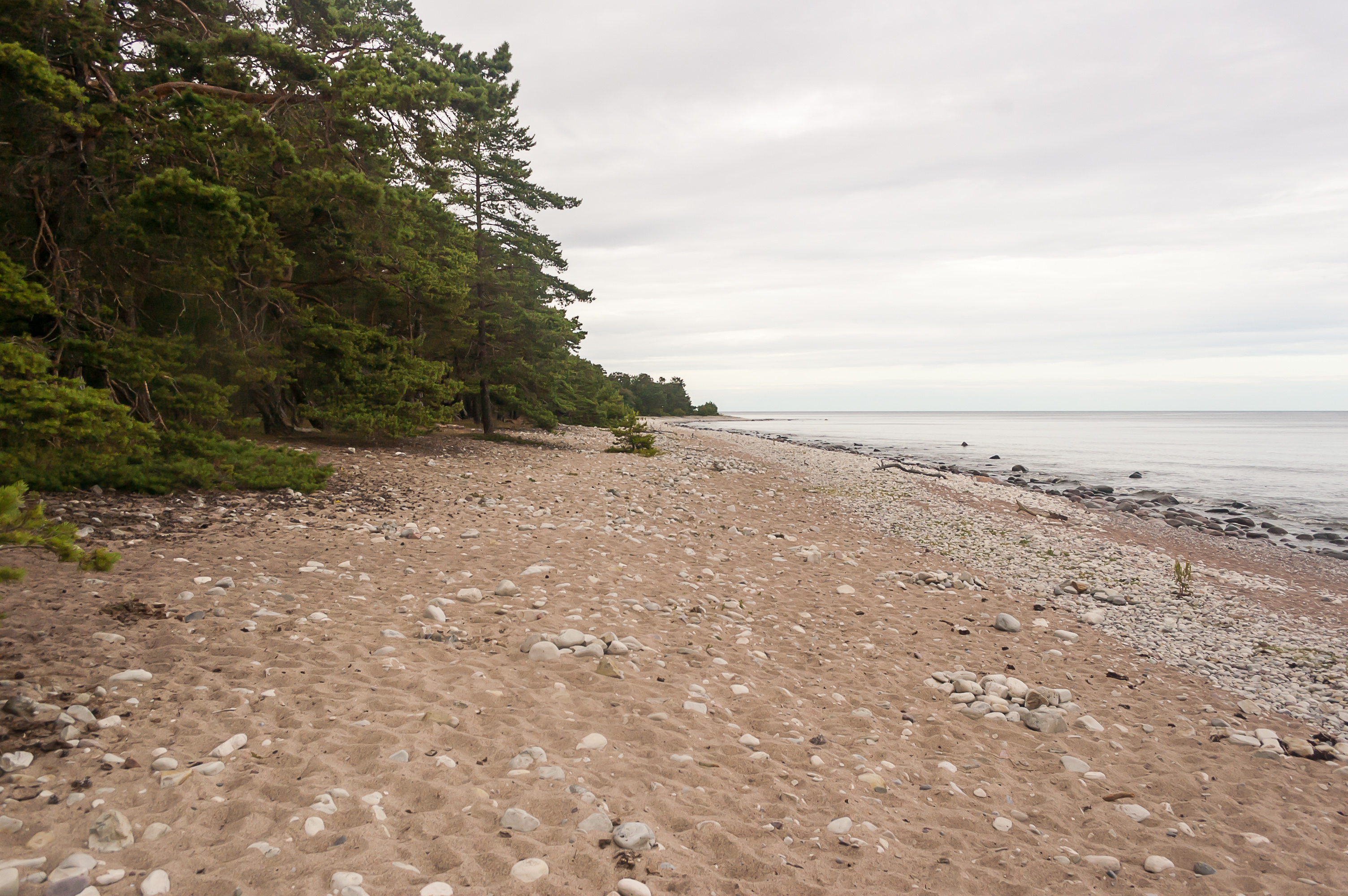
31. Finally found our way to the outer shore.
32. Some twisted trees the forest is famous for.

33. Found the shipwreck at last! This is an Åland schooner named Swiks, built in 1902 in Latvia and wrecked here in 1926. I had no idea that a beached wooden shipwreck (34 m long) can hold its shape for almost a century. The shipwreck story is not very exciting; the crew of seven going from Flensburg, Germany, to Mariehamn, Åland Islands was caught by a storm, tried to go around Öland to seek shelter in Kalmar, and ended up stuck on a sandbar near Trollskogen. They abandoned ship and eventually reached the nearby village of Grankullavik. The Swiks hull was eventually thrown from the sandbar to the stony shore by another storm in 1950s.
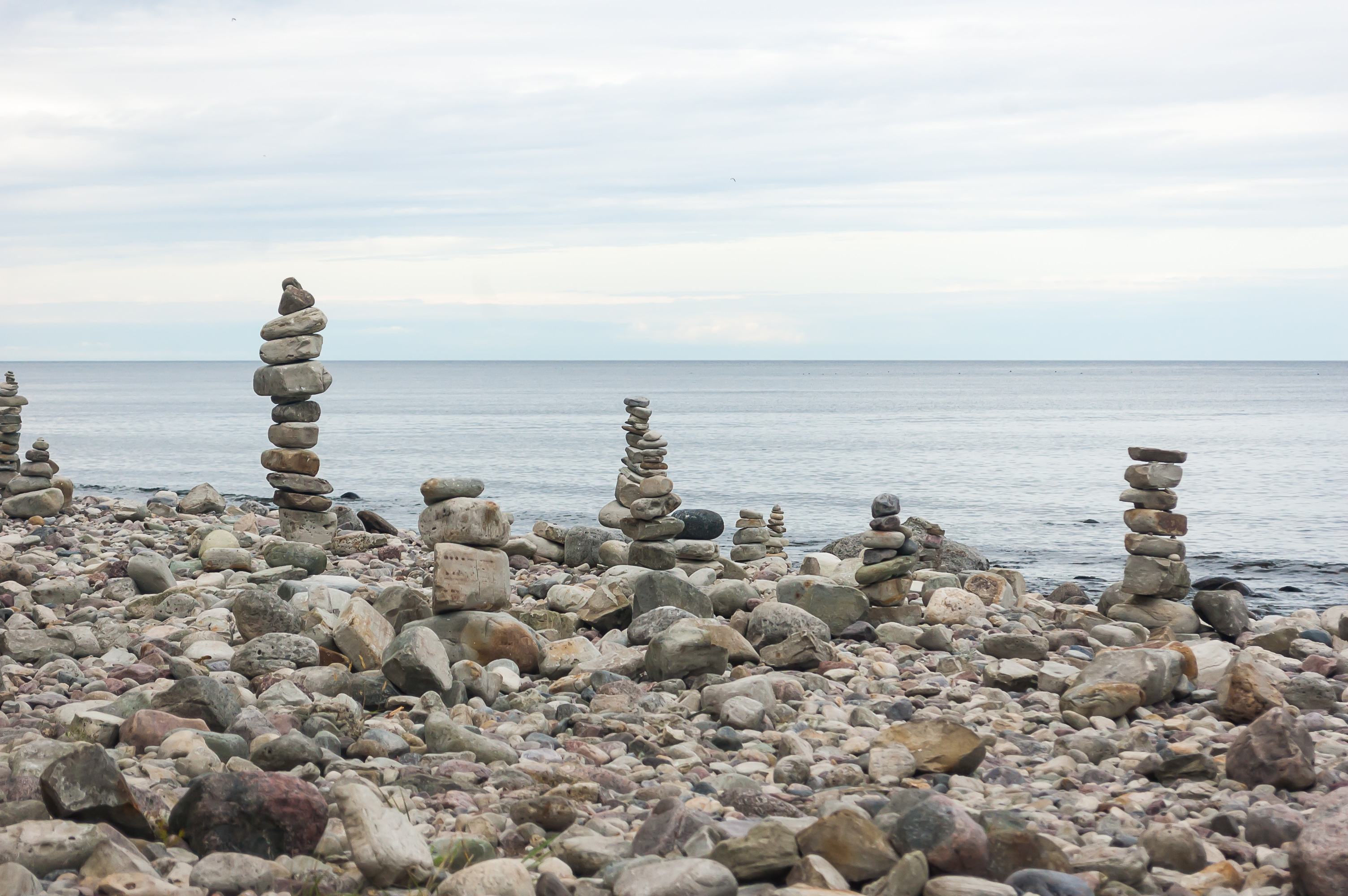
34. Lots of cairns near the shipwreck.

35.
36. Hurrying back through the forest.
37. And driving back south. The drive from Trollskogen to Malmö is about 380 km, and we had only about five hours remaining, which was just about enough.
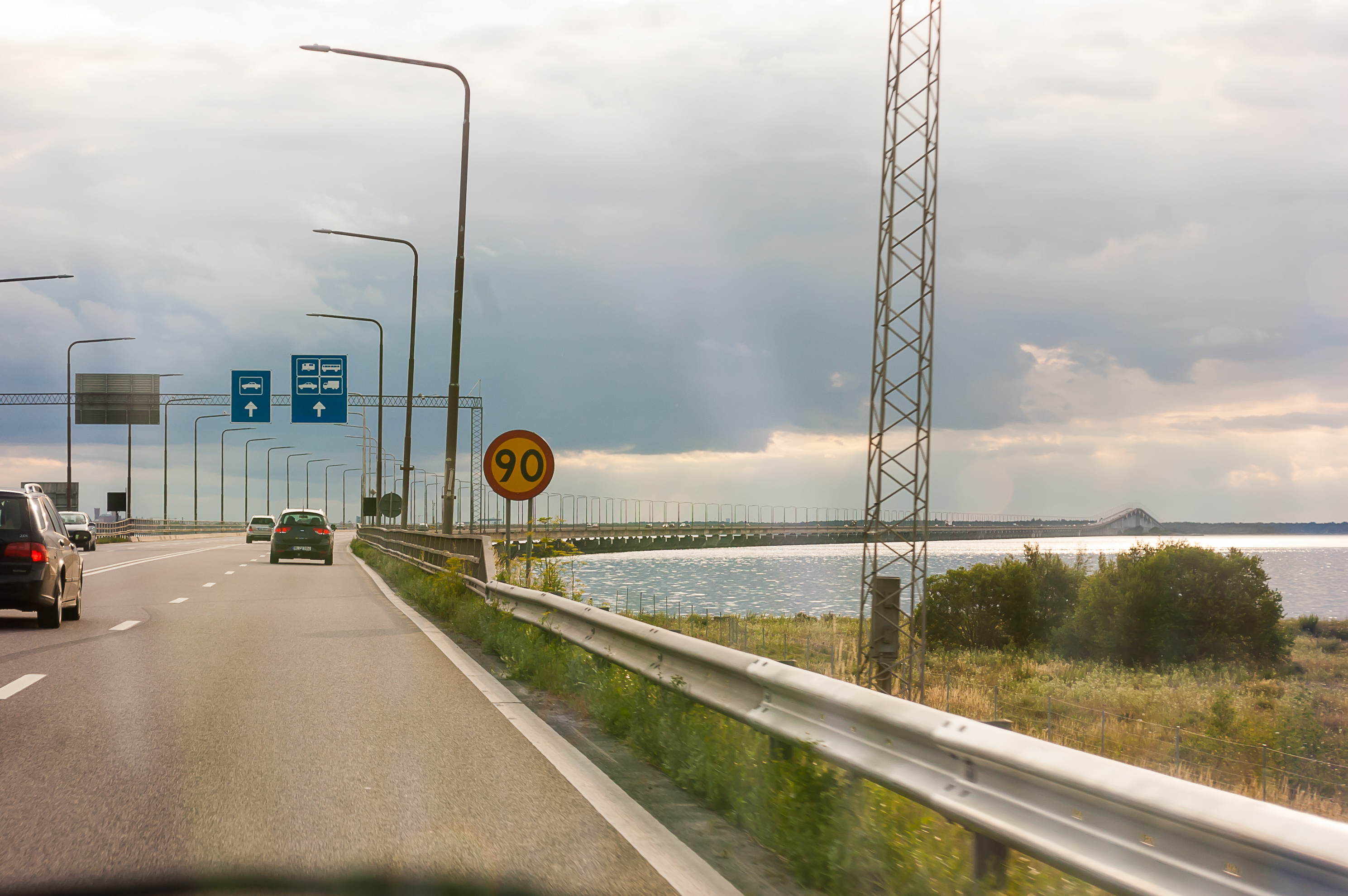
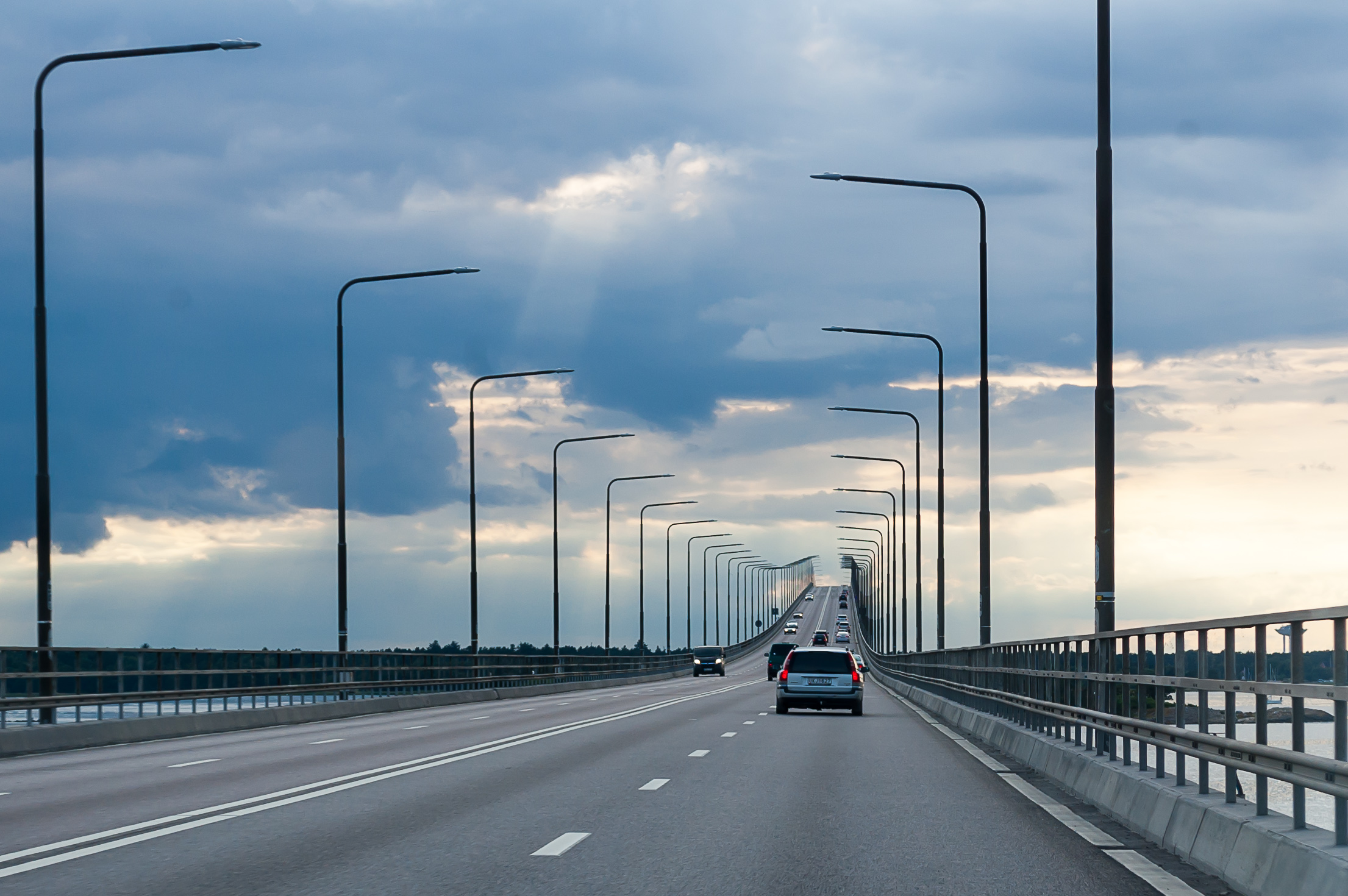
38. Leaving the island of Öland. Too bad we only had half a day; I would gladly spend an entire vacation here, exploring all parts of the island. But here we are, going to Malmö and Copenhagen. The entire Öland Bridge is visible in this picture, with a hump in the distance.
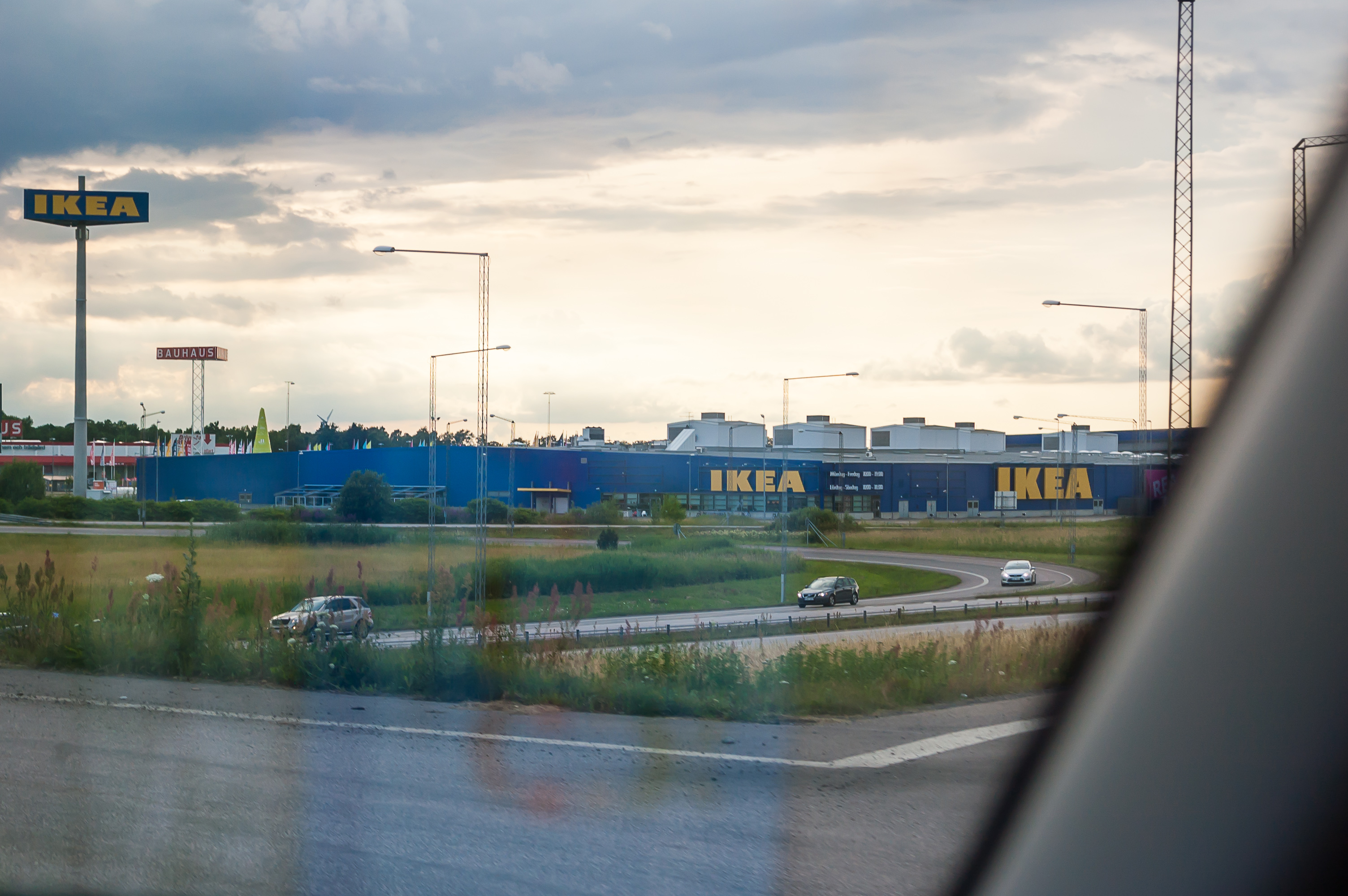
39.
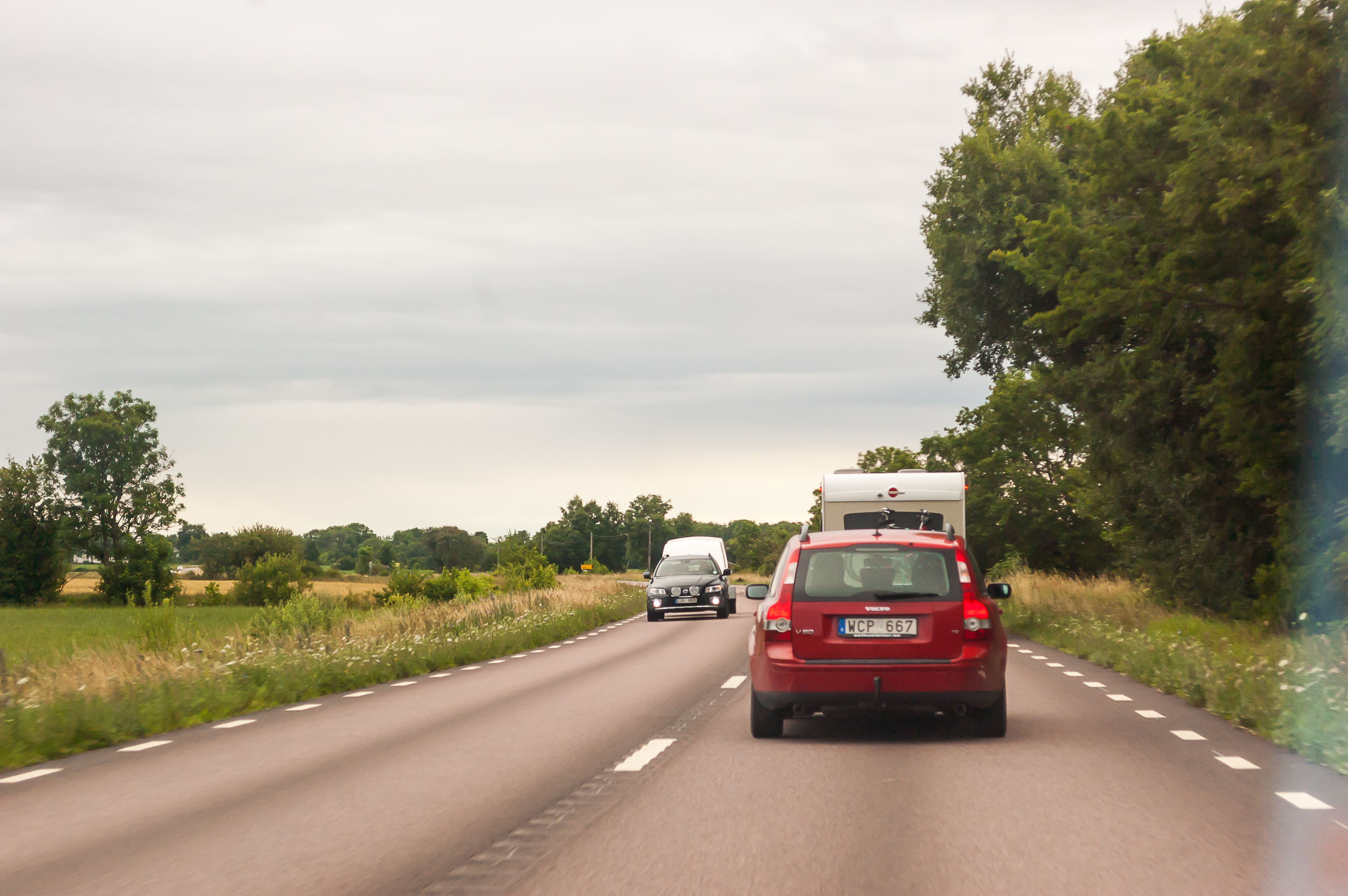
40. Sweden has lots of Ikea stores, of course. This one is just off the exit from E22 road to Kalmar. They mosly look just like they do in Russia.
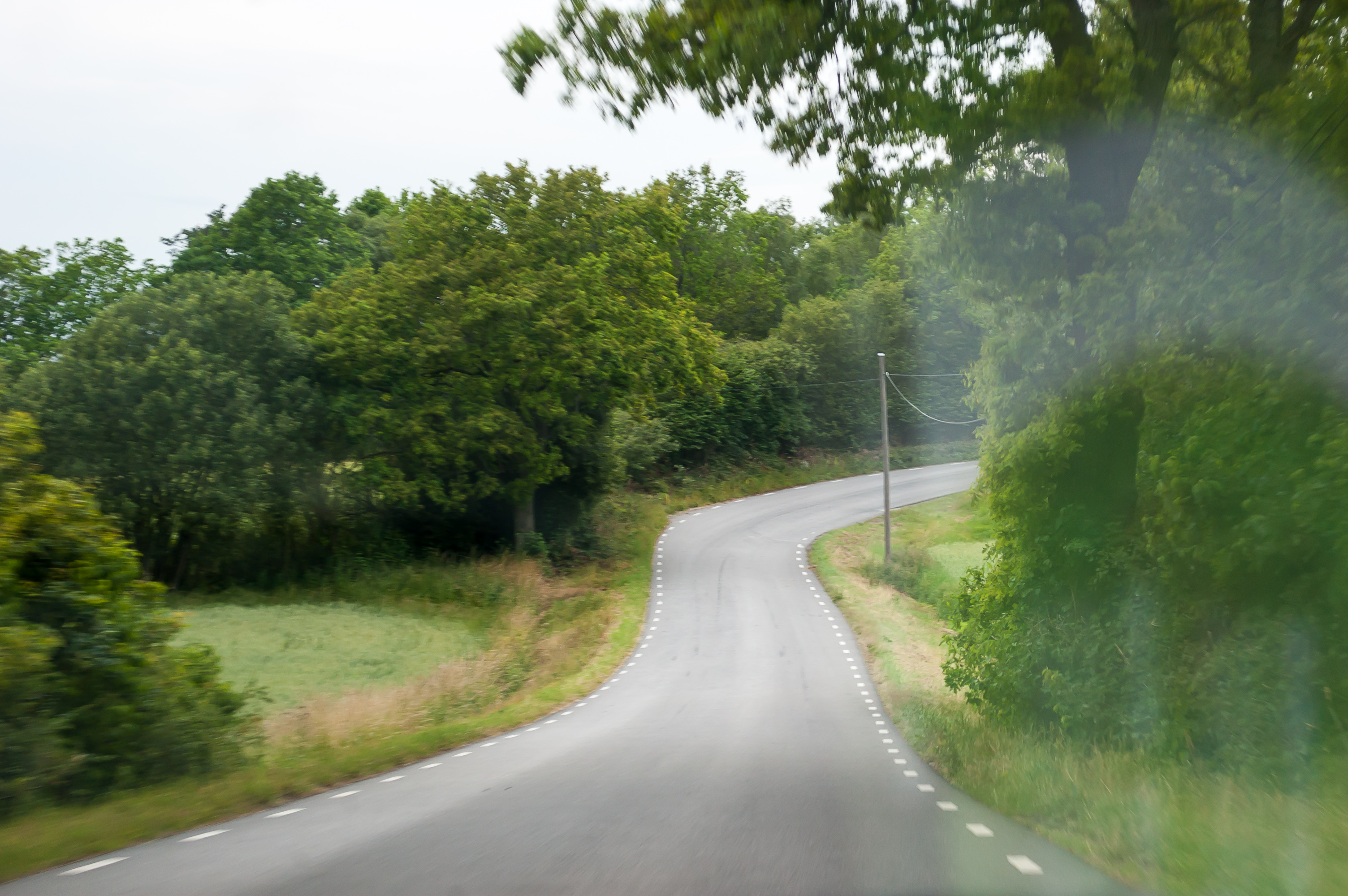
41. The Öland-Malmö drive on the rest of E22 road was the most exhausting one in our entire trip. We already had a fairly long drive in the morning, and were tired enough after Öland already. We were also afraid to miss our train to Copenhagen at 23:25. (Although the tickets are not that expensive and the trains keep going even through the night, I believe, so we just could have bought new tickets, if it came to worst.) We took almost no pictures throughout this drive. This is some detour in a city of Karlskrona. A bridge was under repair. Other relatively major cities we drove by were Kristianstad and Lund.
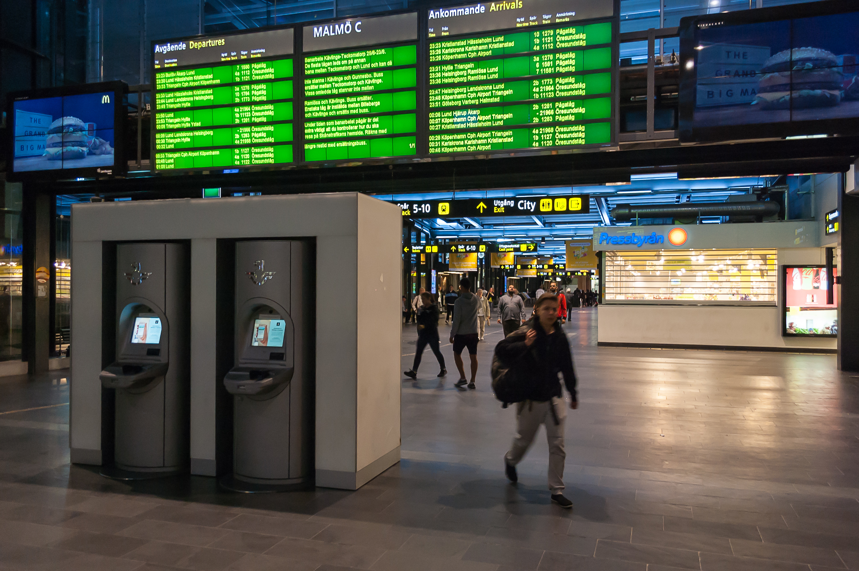
42. I found a relatively cheap parking lot close to Malmö railway station in advance. We left our car there, paying for two days of parking, and walked to the station with all our stuff. Most of the platforms are undeground, including the ones with trains to Copenhagen.
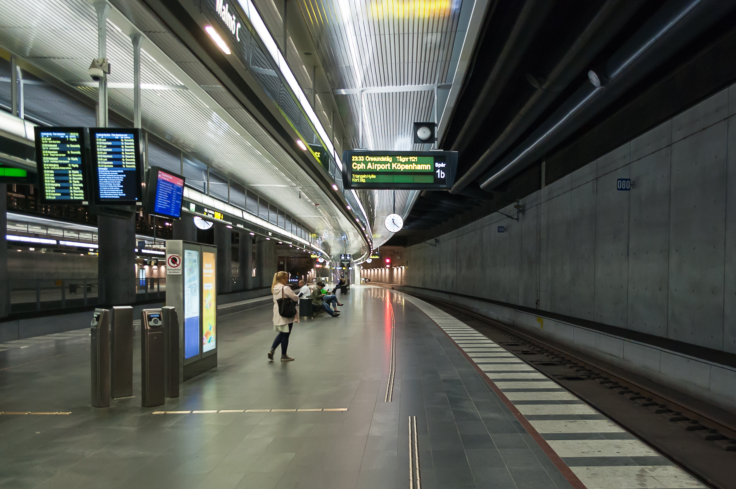
43. It feels a little weird that you can just hop on a train in Sweden and step off half an hour later in Denmark. I just usually think of Sweden as a Scandinavian country, in the north and far from most of Europe, and Denmark, well, Denmark is just near Germany, and Germany is pretty much the middle of Europe, right? Anyway, Denmark and Sweden are separated by Öresund Strait, more commonly known in its Danish spelling, Øresund (yes, Danish has this funny Ø letter, like Norwegian and unlike Swedish). Øresund is fairly narrow, and so in 2000 Øresund Bridge (Öresundsbron, or Øresundsbroen, or, as a compromise between Danish and Swedish, Øresundsbron) was opened. It carries 2+2 lanes of road traffic, and, on a lower level, a double railway track. The bridge itself is 7.8 km long, not much longer than Öland Bridge, but it is also continued by a 4 km long underwater tunnel. Thus thanks to Øresund Bridge you can drive from Sweden to Denmark and the rest of continental Europe without using any ferries.
Perhaps by now you're wondering why we're suddenly leaving our cozy (if boring) Sandero and boarding a train instead. Well, the bridge is tolled, and the toll is quite heavy, at 400 SEK per car crossing. So it turned out it is actually significatly cheaper to leave car in Malmö and buy three train tickets instead. We were not planning to explore Copenhagen or Denmark on car anyway, and parking in Copenhagen probably costs a fortune as well (it's not a car-friendly city at all. It is an extremely bike-friendly city, for what it's worth).
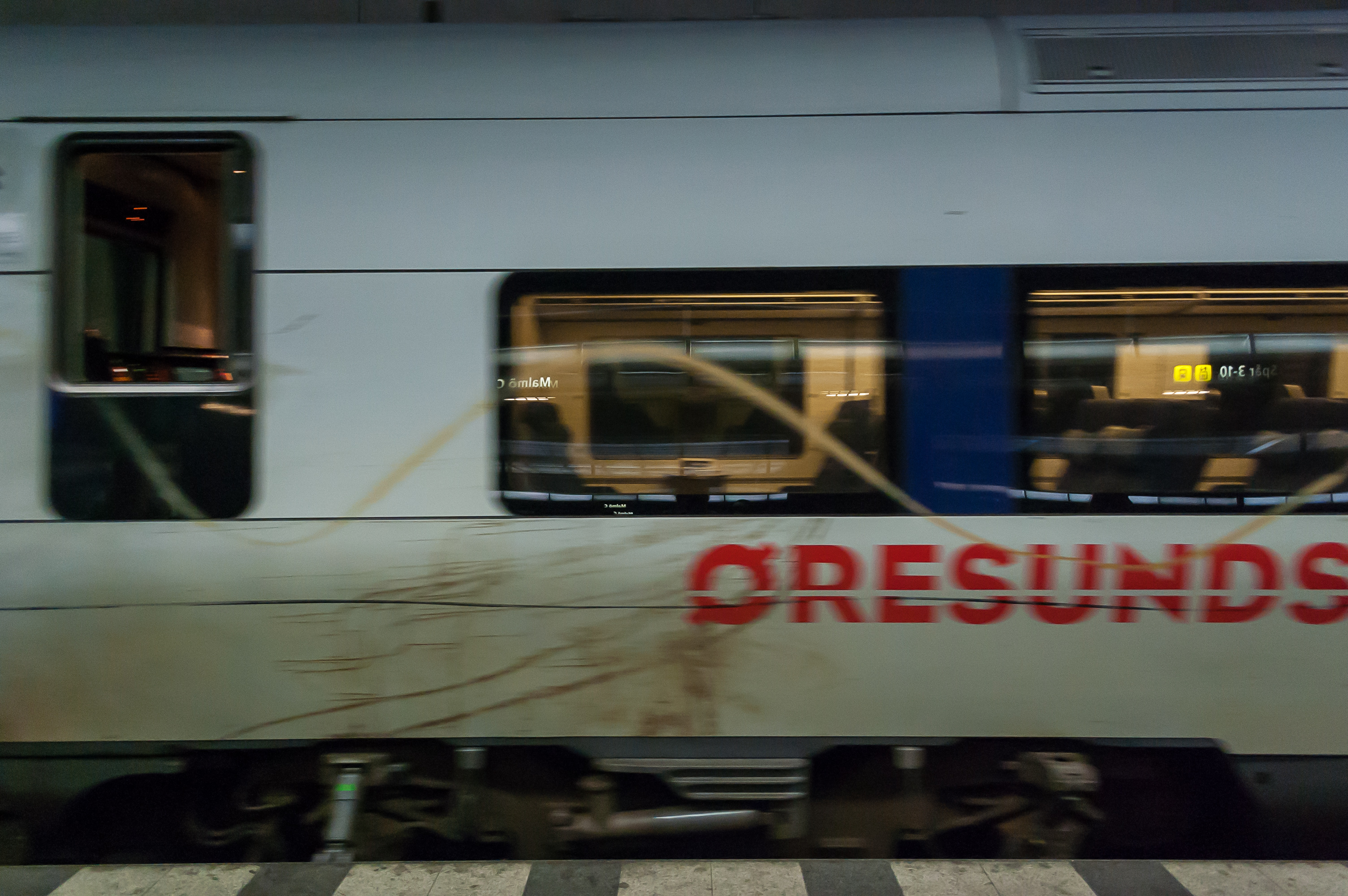
44. So here we are boarding the Øresundståg. Øresundståg literally means Øresund Train. These trains linking Malmö to Copenhagen run in 20 minute intervals during the day, and in hour intervals at night. (A few other trains use Øresund Bridge as well.) The train stops in downtown Malmö, then there is a long passage over the bridge and through the tunnel (there was nothing to see after dark though), then there is a stop at Copenhagen Airport, and finally, Copenhagen Central. (We'll return to the Øresund trains, with pictures, when I'll cover our return from Copenhagen.)
We booked a room at a hotel named Cabinn Scandinavia for two nights. The hotel is close enough to the railway station that we just walked there on foot, lugging our suitcases through the night. It was about 1 AM when we finally reached our beds, and for the next day and a half, we explored Copenhagen. So, to be continued!