Lappi '15. VII. Three Borders Point
Published on:
Do you know why the Schengen Agreement was signed in Schengen? And, come to think of it, what the hell is Schengen? Turns out it is a border village in Luxembourg, and the agreement was signed at the point where the borders of Luxembourg, Germany, and France meet (on a boat in a river since the border there follows a river), for sheer symbolism and the like. Schengen thus is probably the best known similar tripoint.
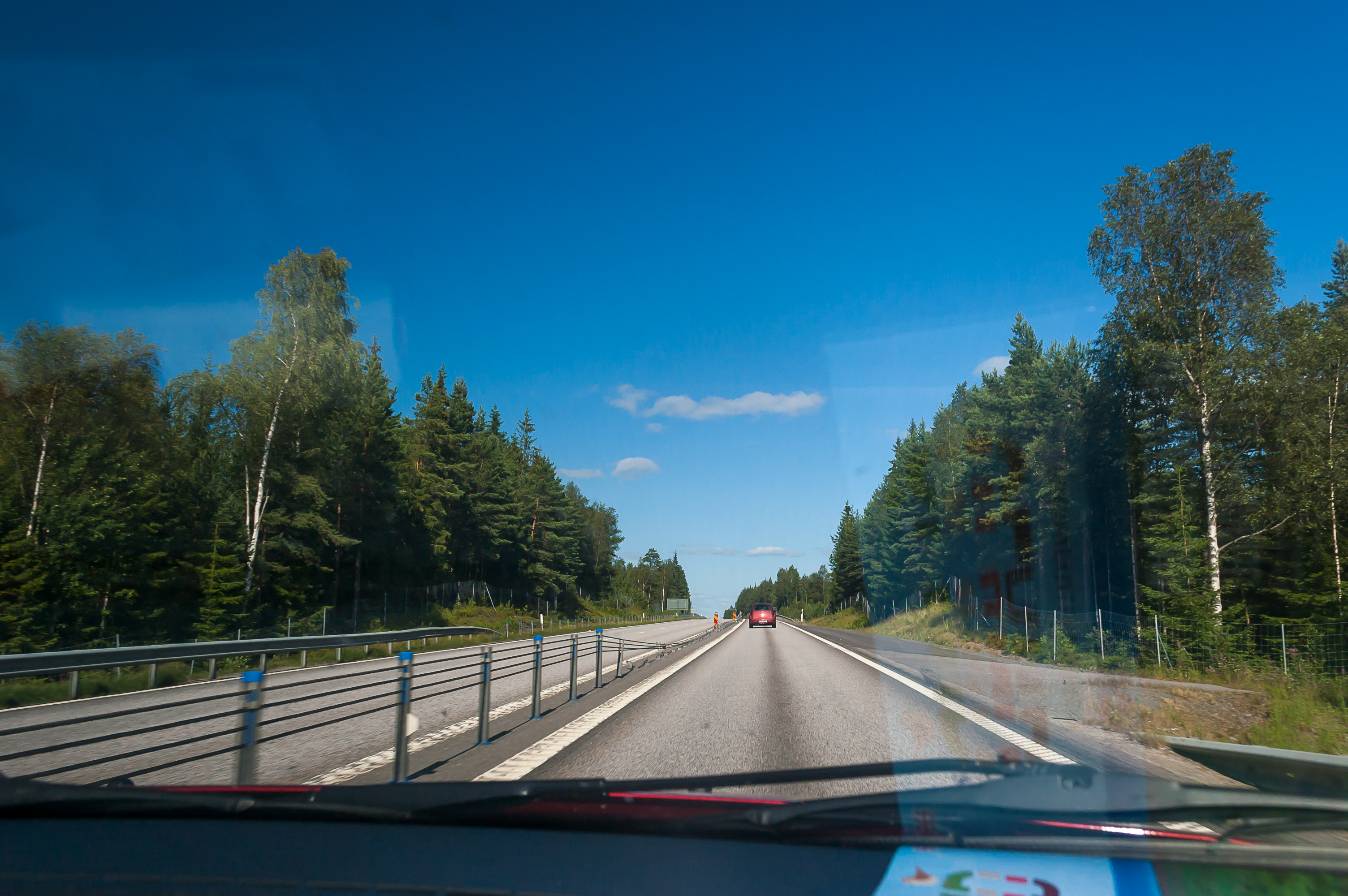
Treriksröset (Swed. Three Country Stone) where borders of Finland, Sweden, and Norway meet is less known but still fairly popular and accessible as far as tripoints go. A 11.5 km long trail (well, some signs say 11 km and some 12 km) leads there from a parking lot at Kilpisjärvi village. The trail goes through Malla Strict Nature Reserve, past a few of the Scandinavian Mountains, in a harsh treeless landscape offering many scenic views. And after driving for 250 km down the Northern Lights Road from Äkäslompolo to Kilpisjärvi, I was ready to explore this trail.
If you’re wondering, the second tripoint of Finland is where Finland, Norway, and Russia meet, at a place called Muotkavaara. The landscape at Muotkavaara is flat and boggy, very different from Treriksröset. It is harder to reach (and crossing into Russian sector there is technically forbidden), the best bet would be going through Øvre Pasvik National Park in Norway. No other tripoints in any Nordic countries exist. I kind of want to visit Muotkavaara too but I’m deterred by the fact that Øvre Pasvik has the greatest population of bears in entire Norway.
Lappi '15. VI. Northern Lights Road
Published on:
If you look at the map of Finland, you will notice that its shape does not have many interesting features, except one: the Arm of Finland, its appendage in the far northwest of the country, over 100 km long and wedged in between Sweden and Norway. The common Finnish name for this territory is Käsivarsi (literally "an arm"); it is also often referred to as Enontekiö, which is the name of the municipality entirely encompassing this part of the country.
Why is it called specifically "the arm" rather than any other body part? Well, you see, there used to be two arms. The right arm was called Petsamo. With two arms, Finland’s shape could be said to resemble a woman a tiny bit, which fit well with the image of the Maiden of Finland, a traditional personification of the country. Petsamo, which actually was originally a Russian territory known as Pechenga, was reclaimed by the Soviet Union in 1945 after the war. Since then Finland has been one-armed.
The Arm of Finland is a very peculiar land. This is the only place in the country where you can see actual huge jagged mountains, completely unlike rolling fells of Pallas-Yllästunturi. These are the Scandinavian Mountains, the great mountain chain which Northern Sweden and pretty much entire Norway owe their stunning landscapes to. The climate of Käsivarsi is harsher than in the rest of Lapland, too; mostly too harsh for any forests other than patches of stunted birch to exist, even. There are not many things to do in Käsivarsi other than hiking, but for hiking it’s absolutely perfect.
Lappi '15. V. Along the Äkäs River
Published on:
On the fourth day of my stay in Lapland I intended to make a very big drive followed by a very big walk. Thus on the third day of my stay in Lapland I decided to go easy on myself. After some planning with a map and on the Internet, I chose two destinations which didn’t require a lot of walking: a small seida stone near Äkäsmylly water mill, and a huge seida stone at Äkässaivo lake. As the names suggest, both places are located near Äkäs river, upstream from Äkäslompolo.
Seida stones are the ancient Sami places of worship. They were used for animal and object sacrifices. The Sami had their shamanistic faith, focusing in particular on worshipping the dead and bears. They were converted into Christianity, somewhat forcefully, mostly in the 17th century. I wasn’t all that interested in Sami faith, and chose these stones as destinations pretty much because of their location.
Both Äkässaivo and Äkäsmylly are located to the north of Äkäslompolo, in about 15 and 20 kilometers, respectively. So they required a little bit of driving. I decided to drive to Äkäsmylly first.
Lappi '15. IV. Up the Kesänki Fell
Published on:
On my second day in Fell Lapland, I decided to try something a bit more exciting than exploring the village and the easiest trails. I wanted to climb one of the fells, and spend a lot of time in the morning deliberating on the choice of that fell. With this and working on photos and letters, I set out only at 2 PM, having failed to really decide on anything. I drove to Kellokas nature center, intending to buy a map and start my walk there. The distance from my cabin to Kellokas was only about two kilometers, but I decided to drive rather than walk anyway, to conserve energy for later.
I was taken aback by how many cars there were at Kellokas parking lot. It felt a lot more crowded than, say, Jounin Kauppas supermarket parking lot. It looked like I wasn’t the only one who wanted to go hiking. Nonetheless I only met a few people during that day.
I can’t really explain what is the exact purpose of Kellokas nature center, as I don’t really know myself. It has a map and souvenir shop, a cafeteria, a library, probably other things. I quickly found the map I wanted, which was the same one I saw on an information board at Ylläs skiing slopes the previous day, only pocket-sized. €6 felt like rather a lot for such a small map. It was really extremely useful though, and I guess the national park must make at least a bit of money somehow. It’s not like they can charge simply for entering; that would be a violation of the ancient Everyman’s Right.
I looked through the rest of the shop’s inventory, but didn’t find anything particularly notable. There were lots of other maps, including some of rather remote areas like Kilpisjärvi or Utsjoki. The souvenirs were more or less what you would expect, including cloudberry sauce and jam. I was more interested in cloudberry liqueur, but as with any hard alcohol in Finland, that could only be found in a specialized Alko store.
After examining the map, I decided I wanted to walk a trail named Tähtipolku (Finn. Star Trail), which climbed Kesänki Fell (it’s KEH-san-kee by the way) through Pirunkuru Ravine. At this, I set out from Kellokas.
Lappi '15. III. Ylläs Slopes
Published on:
So, after finding a hiking trail in Äkäslompolo, I soon reached a crossroads with some pointers:
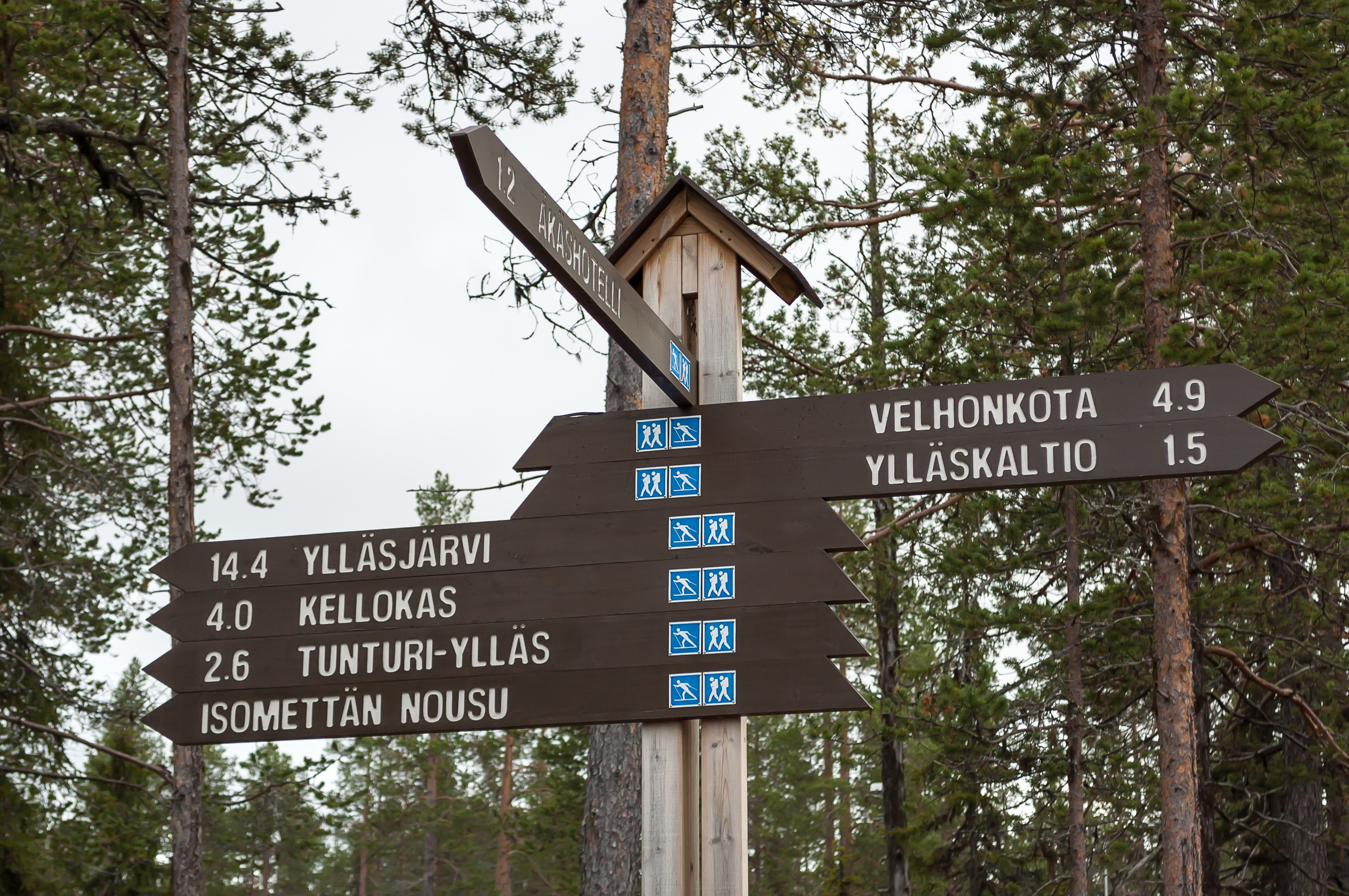
1. Äkäshotelli, presumably a hotel, seems to be the place in Äkäslompolo where most local trails start. Other destinations I had some idea about were Tunturi-Ylläs (Ylläs Fell, presumably), Kellokas (nature center whether some other trails start), and Ylläsjärvi (village on the other side of Ylläs Fell). I decided I wanted to see Ylläs and walked to the left.
Lappi '15. II. Around Äkäslompolo
Published on:
So what does a Lapland ski resort cabin look like? I must say I was extremely impressed. This is the best accomodation I’ve ever had. It is an actual home where a person or two could live indefinitely long. (There are of course also more traditional hotels at Äkäslompolo, and there are larger cabins which accomodate more people. Mine was on the smaller side.)
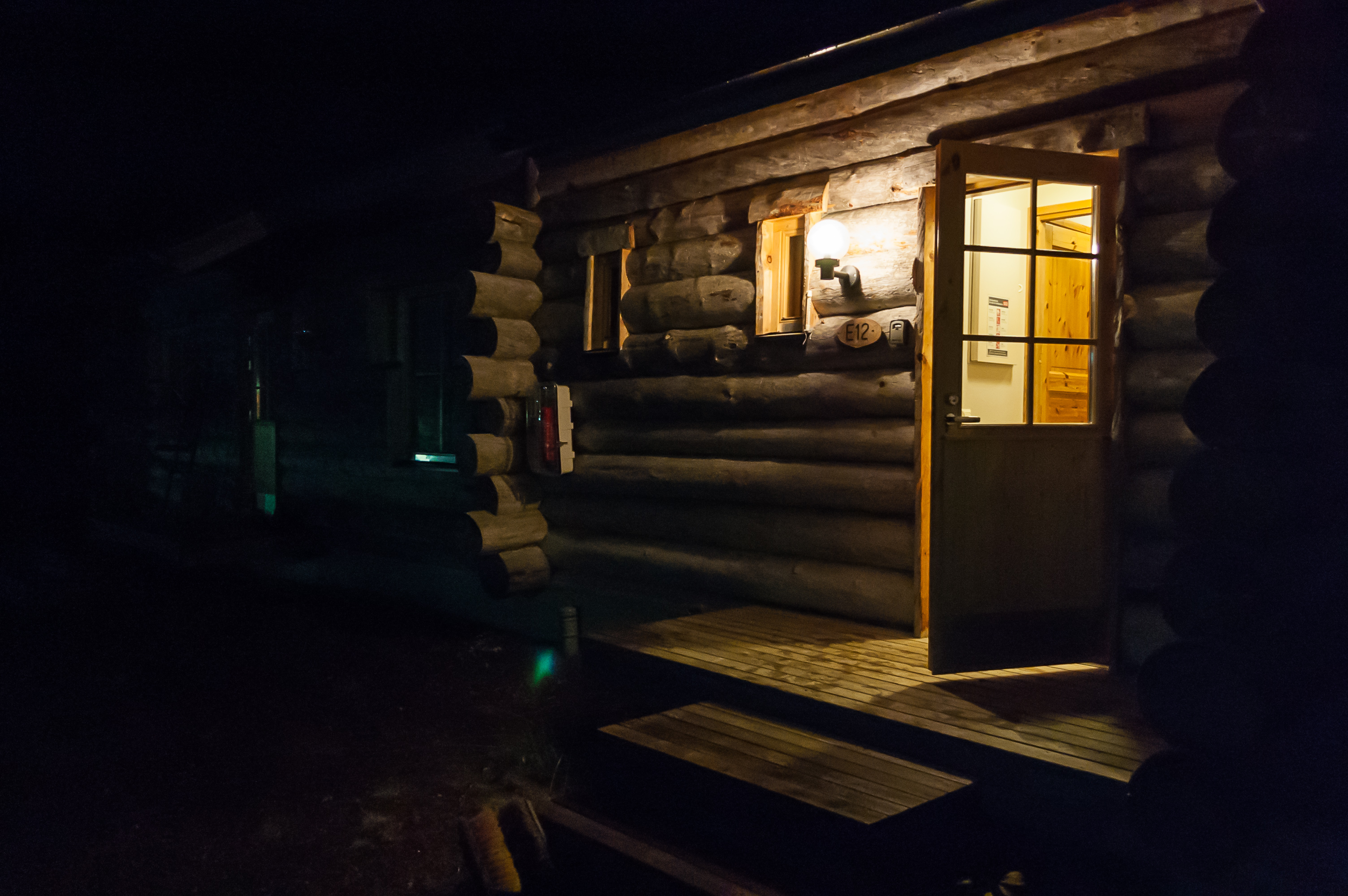
1. The cabin is actually an apartment in a small row house, the middle one of three. Both outer apartments were not occupied. The exterior walls appears to be built from logs.
In September 2015, I was about to take the last week of my vacation time in 2015. My girlfriend was away in Cyprus, and no one else was coming along with me, so, pretty much for the first time in my life, I had freedom, time, and budget to plan a great solitary trip for myself. (I’m excluding some hitchhiking adventures many years ago of course.)
I had several destinations in mind. Some secluded corner of Norway certainly sounded like a nice idea. Or some Finnish island. Archipelago Sea? Or some islands in the Gulf of Bothnia? Or maybe not even an island but just a random cabin in the middle of Finnish nowhere? So many options.
In the end, the matter was decided when I found some inexpensive accomodation I liked. It was one of the Lost in Lapland cabins (direct link to their website), in a village named Äkäslompolo, in Finnish Lapland, next to Pallas-Yllästunturi National Park. They offered a nice-looking cabin, named Kelostar, at a particularly reasonable price. I booked it (note: payment is possible only with a direct bank transfer — took me some time to figure out how to make a transfer from Russia to Finland), and started reading up about Lapland.
Lapland is most often thought of as the northernmost part of Finland. In fact it also includes the entire north of Scandinavia and also of Kola Peninsula in Russia. Lapland, in this meaning, is best defined as the region traditionally inhabinted by Sami people, also known as Lapps. There are about 100,000 of Sami in Finland, Sweden, Norway, and Russia. They have a flag, a funky national dress, a tradition of reindeer herding, and an utterly incomprehensible language (looks a bit like a horribly mangled Finnish), but they never had their own statehood. Sami are now a minority in Lapland, which is mostly inhabited by regular Finns, Swedes, Norwegians and Russians (also Tornedalians, who are a sort of Swedish Finns, and Kvens, who are a sort of Norwegian Finns).
Finnish Lapland, Lappi in Finnish, is indeed the northernmost part of Finland, and the largest region of the country by far, some 40% of the entire territory or so. Finnish Lapland is very sparsely populated; its entire population is only 180,000. The only major (more or less) city is Rovaniemi. Lapland towns and villages are clean and neat but pretty boring and uniform. This part of the country was pretty much entirely destroyed in the little-known Lapland War. The war took place in 1944-1945, when Finland reallied with Soviet Union, and started to expel German forces, which mostly happened to be located in Lapland. There were very few actual casualties, but retreating Germans caused massive damage, burning down all towns and destroying all roads.
Thus modern Finnish Lapland has been rebuilt for scratch, and, apart from the residence of Santa Claus in Rovaniemi, is worth visiting mostly for its nature. There are many huge national parks in Lapland, with thousands of kilometers of hiking trails. There are numerous skiing resorts. There are reindeer and husky rides. Lapland, which, honestly, is pretty much just lots of spruce trees and low mountains and some lakes and a really cold climate — that describes, like, a half of Russia! — manages to sell itself amazingly well.
Lapland is usually visited in winter, and its skiing resorts (Äkäslompolo is one of them) get very busy and crowded. Myself, I don’t like cold, but I love (fairly casual) hiking, and early autumn is the best season for that (mosquitoes and gnats get very nasty in summer, or so I hear). So I thought this was an excellent chance for me to see some Northern nature. Of course I was going to go by car. The distance from St. Petersburg to Äkäslompolo was 1120 km; possible if exhausting to cover in a single day. The car also allowed me to use Äkäslompolo as a base, and see some other places, including the point where Finland, Sweden, and Norway meet, and a bit of the northern fjords of Norway.
In short, my decision to go to Lapland turned out to be absolutely right. This was the best vacation in my life by far, and I want to repeat it every year, preferably at least twice. It was even better than Western Norwegian fjords; the North is the prettiest and the most peaceful place in the world. And I enjoyed being alone for nine days. It’s not like I didn’t see a single person; I just interacted very little with anyone. The loner I am, I loved it.
This is going to be one huge post, so get ready!
Sweden '15. XIV: Uppsala and the drive home
Published on:
This is the last part of the series about our Swedish journey, but we actually had three days remaining till the end of our vacation. This wasn’t really a lot though. Driving from Smögen Camping to Uppsala (475 km) took up most of the first of these three days in particular.
1. Here we go again. Our route was: E6 — Road 44 — E20 — E18 — Road 55. Major cities passed were Trollhättan, Örebro, and Västerås. (The latter is pronounced a lot like "Westeros".)
Sweden '15. XIII: Bohuslän: Lysekil
Published on:
Lysekil is another small sea town in Bohuslän, much larger than Smögen (pop. 7,600), but still pretty tiny. It is located in about 50 km from Smögen, so we chose it as our destination for the next day. Turned out it is pretty similar to Smögen anyway.
Our second night at Smögen Camping was not as peaceful as the first one. First, some young guys sat around with beer and a boombox pretty much right by our window. They actually turned out to be pretty nice. At 10 pm sharp they got up, collected all their trash, and some of them went to bed while others drove away in a taxi with "Gothenburg" written on it. That’s a long drive from Gothenburg, mind you. Thus, our opinion of Swedish youth improved a lot, but then in the middle of the night a few drunk girls barged into our block, and kept making a lot of noise, talking and showering, for quite some time. Anyway we still had a nice enough sleep.

1. First things first, we drove to Smögen and got some breakfast at the same Ekelöfs restaurant. Parking in entire Smögen is pretty much limited to two parking lots, so they have parking meters. The charge is very cheap though.
Sweden '15. XII: Bohuslän: Smögen
Published on:
The southwestern coast of Sweden, from the city of Gothenburg up to the Norwegian border, is known as Bohuslän, after the castle of Bohus in Kungälv, 20 km north of Gothenburg. Up until 1658 Bohuslän used to be a Norwegian land, protected against Sweden by Bohus. Sweden secured Bohuslän in the Treaty of Roskilde, along with Scania and other territories, and since then Bohuslän has been Swedish.
Bohuslän (formally a part of Västra Götaland län, same as Gothenburg) has no major cities. It has always been noted for fishing; unlike the rest of Sweden, it is washed by Skagerrak Strait, a part of the North Sea, which has much more lively and varied sea life than the Baltic Sea, with crabs and lobsters and the like. There is a large rocky archipelago along Bohuslän coast, a maze of skerry islets. Bohuslän also used to have great forests, but these were cut down for shipbuilding long ago, and never recovered.
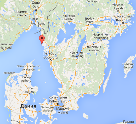
Modern Bohuslän is pretty much a great summer resort. One of its better known towns is Smögen, located on an island off shore and known for its fish auction. We stopped at Smögen Camping, in the town of Kungshamn right next to Smögen, and spent a full day exploring Smögen on foot.
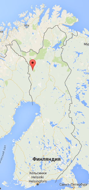
This is where Smögen is located on the map, if you’re curious: